Elevation of Polk Township, IN, USA

Location: United States > Indiana > Washington County >

Longitude: -85.991743

Latitude: 38.5216461

Elevation: 256m / 840feet

Barometric Pressure: 98KPa

Elevation Map:

elevation map of Polk Township, IN, USA

Satellite Map:

Satellite map of Polk Township, IN, USA

Related Photos:

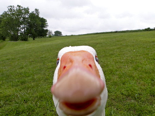
Is this thing on
flowers tree barn rural fence spring purple farm indiana deadtree salem eveninglight washingtoncounty dschx1
Barn in Springtime
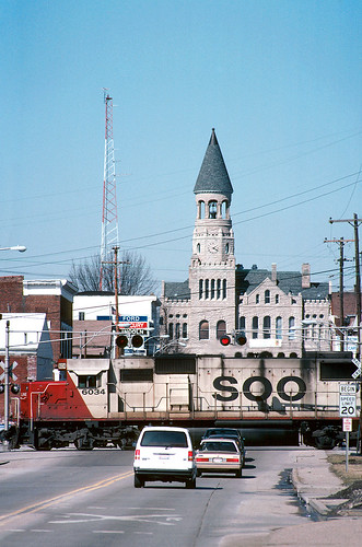
Northbound at Salem
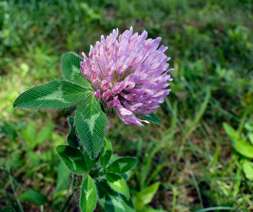
flower macro green weed purple indiana salem clover washingtoncounty mywinners anawesomeshot dschx1 lakesalinda
Beauty is All Around...
summer panorama color building america frozen midwest sunday indiana stitched stitchedpanorama anawesomeshot dschx1
DSC-HX1 Panorama
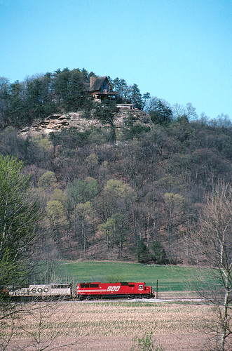
canon indiana f1 line kodachrome sooline soo coolscan pkr latta monon vuescan lattasubdivision
Southbound 240 south of Borden
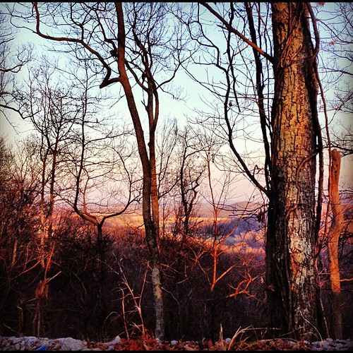
View from the Fire Tower
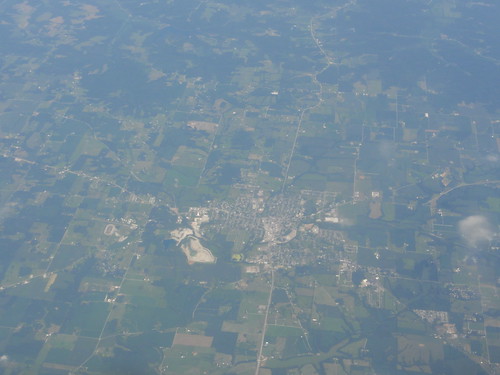
Overhead view of Salem, Indiana, with Indiana State Road 135 (center, bottom to top) and State Road 60 (middle left to bottom right) as well as Salem Municipal Airport and Salem Speedway (near left middle)
architecture clarkcountyindiana woodtownship gablefrontandwinghouse
wood township gable front and wing house
What a View
sunset sky tower random publicasof11232013 posted2008 madeff03262015
tower to tower
autumn color macro fall 120 tlr mediumformat miniatures country indiana trains 120film 124 salem manual yashica trainset twinlensreflex modeltrains traindepot macrolens yashicamat modeltown yashinon modelcity yashicamat124 mat124 miniaturecity miniaturemodel miniaturetrains miniaturetown yashinonlens salemindiana manualphotography macrotlr macromediumformat
Tiny Daily Life
square squareformat hefe iphoneography instagramapp uploaded:by=instagram foursquare:venue=4d84bf8299b78cfab717be1f
Undisturbed.
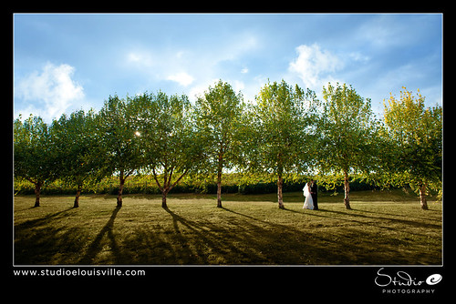
wedding photographer louisville louisvilleweddingphotographer
Photographers-in-Louisville-ky-138
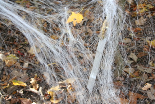
autumn fall halloween 2009 hauntedtrail buffalotracepark
Spider Web
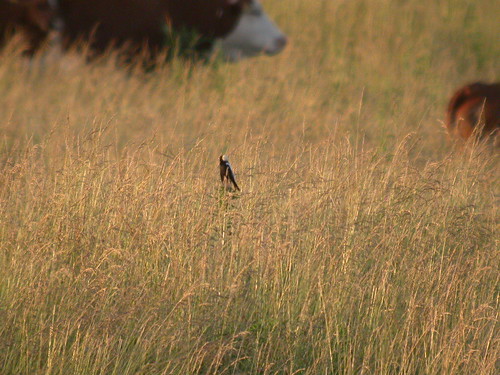
tom colleen indiana becker salen washingtoncounty bobolink bobolinks61710
Bob-O-Link 6-17-10 Washinton Co.
Joe Huber Farm Panorama
mill wheel creek water flowing old delapidated landscape thechallengegame becksmill indiana thechallengefactory cool myfavourite favourited publicasof11232013 madeff03262015
Beck's Mill
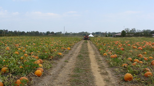
fall corn country pumpkins indiana orchard winery gourd squash hubers
Pumpkin Patch
becksmill old refurbished landscape building indiana mill
fence over the rock shelter
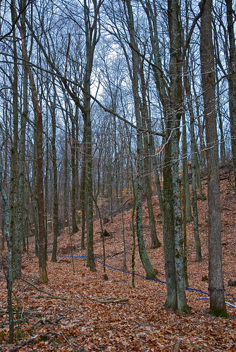
festival maple indiana syrup salem 2009 sugarbush
where it all begins
becksmill mill old refurbished landscape building cool publicasof11232013 posted2008 madeff03262015 indiana
Becks new mill
festival maple indiana syrup salem 2009 sugarbush
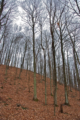
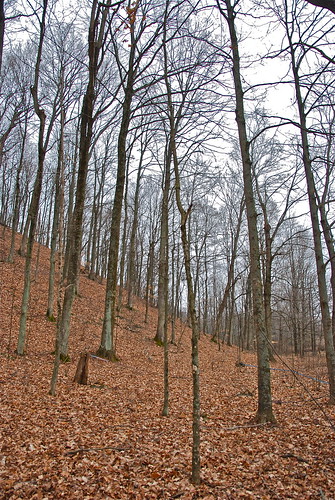
late winter maple forest
becksmill old refurbished landscape building indiana publicasof11232013 posted2008 madeff03262015 mill
from the front
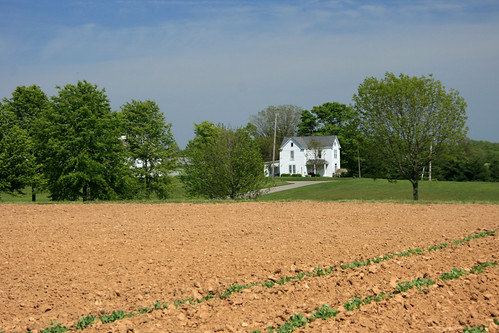
usa field rural farm country indiana farmland northamerica agriculture starlight
Rural America
mill wheel creek water flowing old delapidated landscape bw publicasof11232013 madeff03262015 becksmill indiana
Ye olde mill
becksmill old refurbished landscape building indiana publicasof11232013 posted2008 madeff03262015 mill
harnessing the power
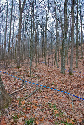
festival maple indiana syrup salem 2009 sugarbush
sap lines and maple trees
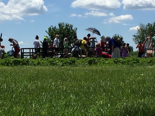
festival maple indiana syrup salem 2009 sugarbush
bringing sap from the trees
All Photos-3120
A Golden Road in Washington County, IN
texture cornfield nhm ngm florabellatextures npgm indianajoehuberfarmes florabellatexturebrushedsky
Joe Hurber Corn Field
Deam Lake State Recreation Area, IN