Elevation of South Four Corners, Silver Spring, MD, USA
| Latitude | 39.0203709 |
|---|---|
| Longitude | -77.0196148 |
| Elevation | 109m / 358feet |
| Barometric Pressure | 1000KPa |
Related Photos:

65. Night view of Jefferson Memorial

Past, present and future

Room with a view - Capitol Hill

Welcome to the White House ( #SouthLawn )

The Washington Capitol
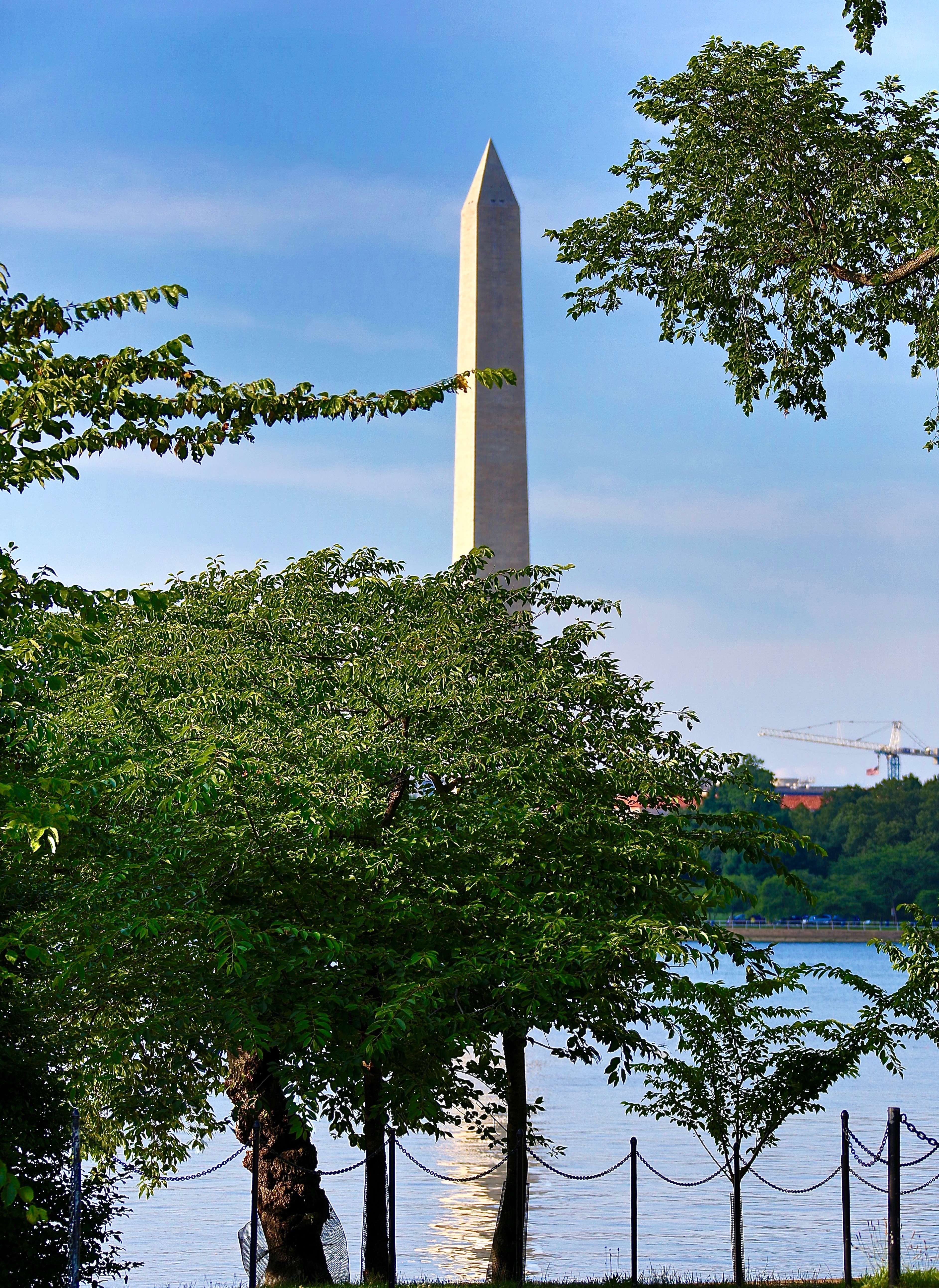
The Washington Monument

The dome of the Capitol

View of the Potomac from the Roof of the Kennedy Center Washington DC

View from the top

The Washington Monument

#dome view

Balcony Views

Frozen Key Bridge

Uline Arena - Top Floor Capitol View

The Washington Monument

Washington DC viewed from Observation Deck at CEB Tower Rosslyn VA

Blue hour at the National Mall #explored

A view from the National Gallery of Art

A Distant View

Lincoln's View
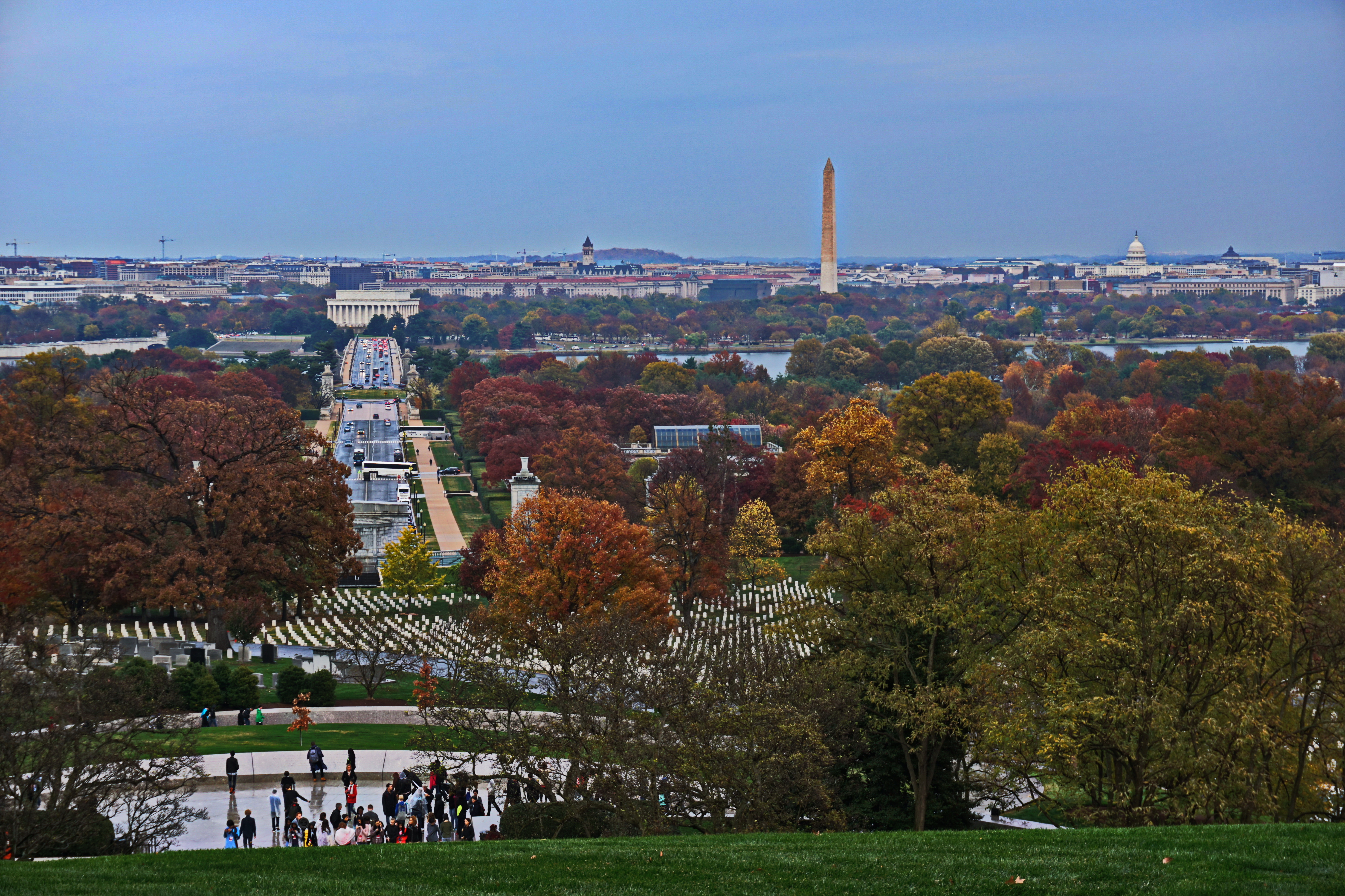
View from Arlington Cemetery towards Washington DC
Topographic Map of South Four Corners, Silver Spring, MD, USA
Find elevation by address:
Places in South Four Corners, Silver Spring, MD, USA:
Places near South Four Corners, Silver Spring, MD, USA:
9927 Markham St
10016 Lorain Ave
10000 Portland Rd
Bristol Avenue
Quinby St, Silver Spring, MD, USA
9508 Bristol Ave
9500 Bruce Dr
10204 Southmoor Dr
9617 Clearview Pl
Woodmoor
9507 Flower Ave
9521 Biltmore Dr
7 Oldham Rd
9126 Flower Ave
529 Dale Dr
Dartmouth Avenue
9113 Walden Rd
Eastern Middle School
401 E Melbourne Ave
95 E Wayne Ave
Recent Searches:
- Elevation map of Central Hungary, Hungary
- Elevation map of Pest, Central Hungary, Hungary
- Elevation of Pilisszentkereszt, Pest, Central Hungary, Hungary
- Elevation of Dharamkot Tahsil, Punjab, India
- Elevation of Bhinder Khurd, Dharamkot Tahsil, Punjab, India
- Elevation of 2881, Chabot Drive, San Bruno, San Mateo County, California, 94066, USA
- Elevation of 10370, West 107th Circle, Westminster, Jefferson County, Colorado, 80021, USA
- Elevation of 611, Roman Road, Old Ford, Bow, London, England, E3 2RW, United Kingdom
- Elevation of 116, Beartown Road, Underhill, Chittenden County, Vermont, 05489, USA
- Elevation of Window Rock, Colfax County, New Mexico, 87714, USA
- Elevation of 4807, Rosecroft Street, Kempsville Gardens, Virginia Beach, Virginia, 23464, USA
- Elevation map of Matawinie, Quebec, Canada
- Elevation of Sainte-Émélie-de-l'Énergie, Matawinie, Quebec, Canada
- Elevation of Rue du Pont, Sainte-Émélie-de-l'Énergie, Matawinie, Quebec, J0K2K0, Canada
- Elevation of 8, Rue de Bécancour, Blainville, Thérèse-De Blainville, Quebec, J7B1N2, Canada
- Elevation of Wilmot Court North, 163, University Avenue West, Northdale, Waterloo, Region of Waterloo, Ontario, N2L6B6, Canada
- Elevation map of Panamá Province, Panama
- Elevation of Balboa, Panamá Province, Panama
- Elevation of San Miguel, Balboa, Panamá Province, Panama
- Elevation of Isla Gibraleón, San Miguel, Balboa, Panamá Province, Panama