Elevation of South Boulder Peak, Colorado, USA
Location: United States > Colorado > Boulder County > Boulder >
Longitude: -105.29915
Latitude: 39.9538749
Elevation: 2531m / 8304feet
Barometric Pressure: 74KPa
Elevation Map:
Satellite Map:
Related Photos:
Looking North
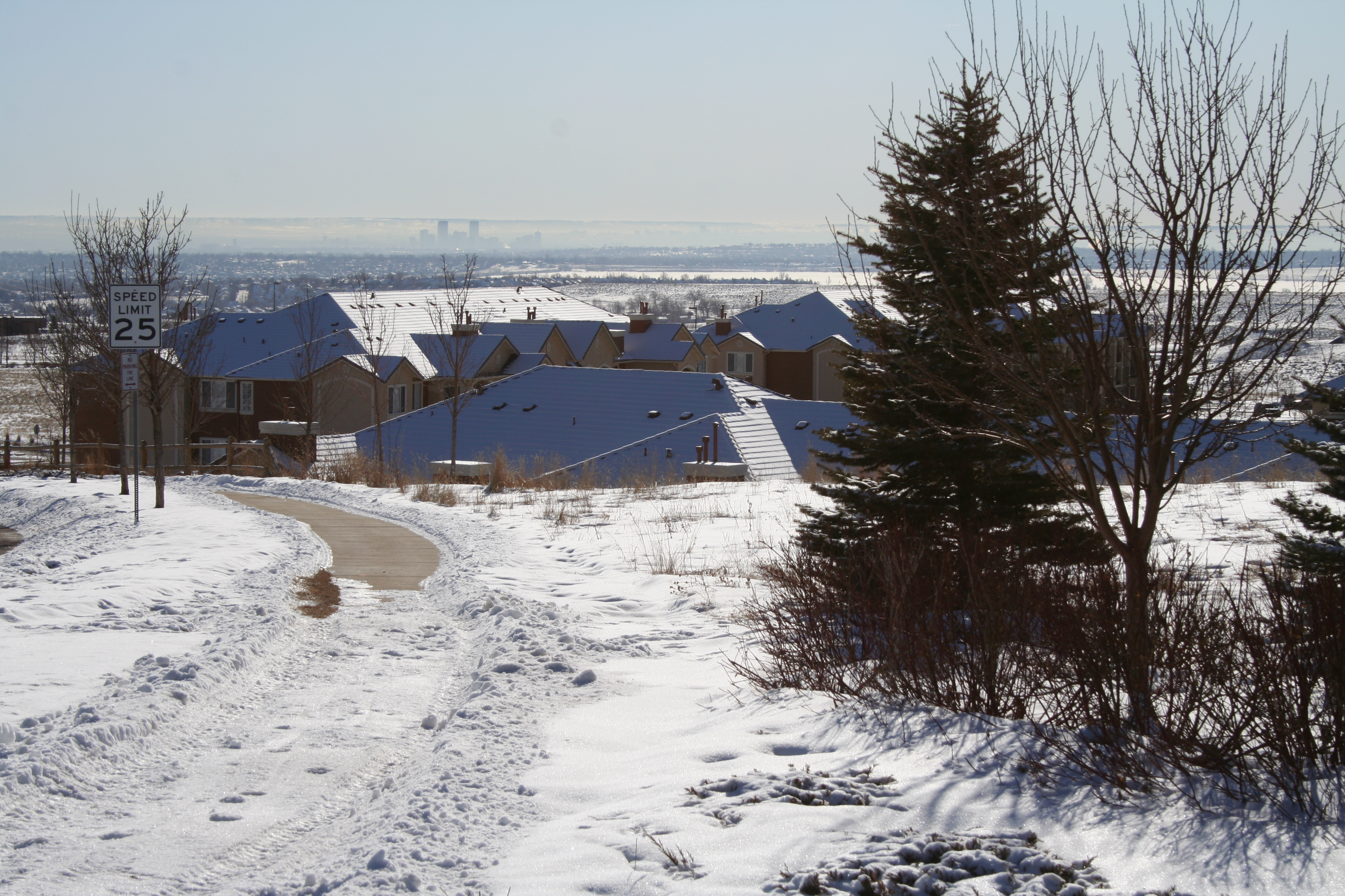
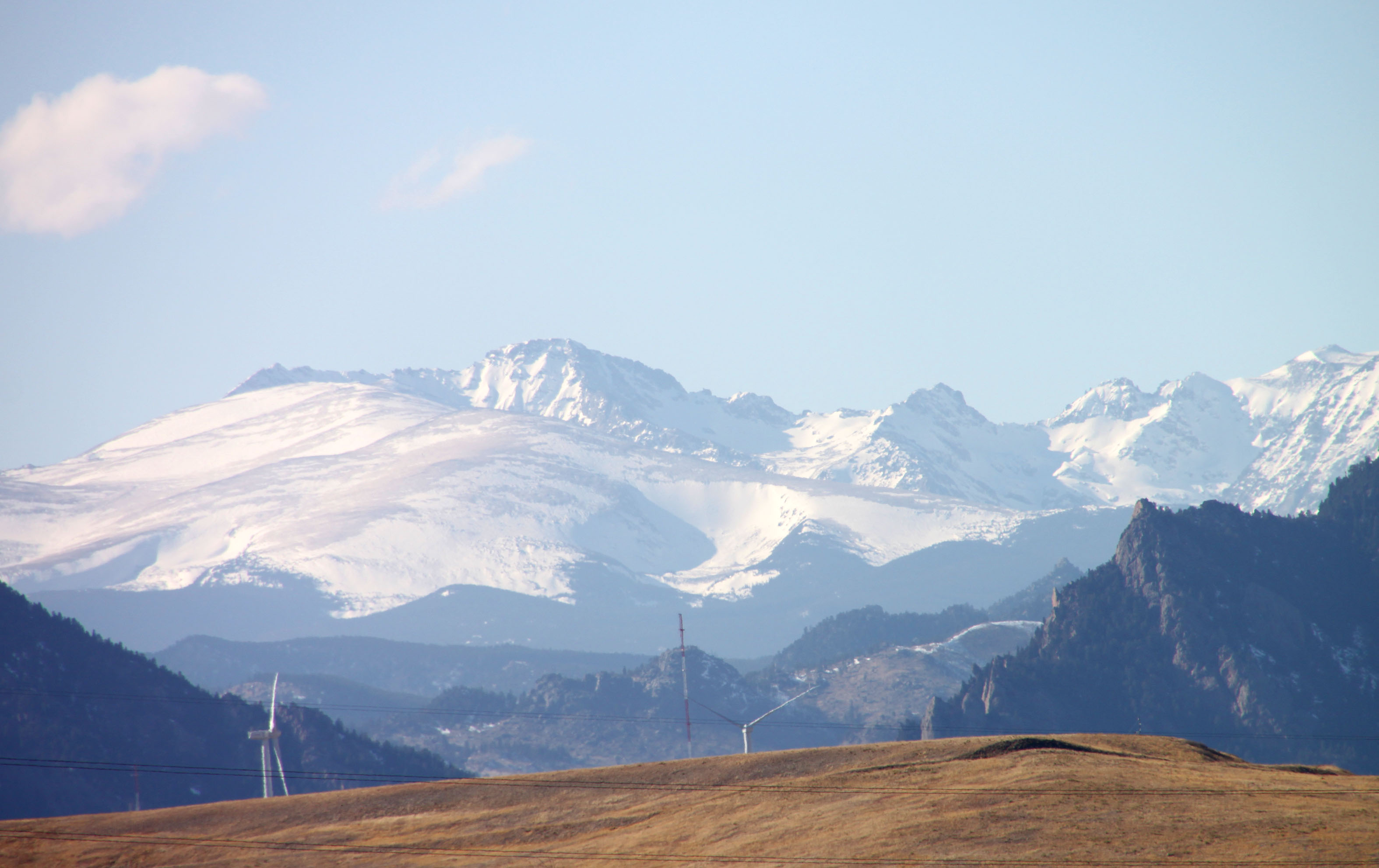
view of Denver from home
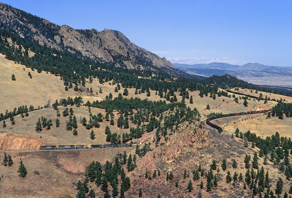
Threading Tunnel 1

After the storm

Rolling off Little 10 Curve
no obstructions

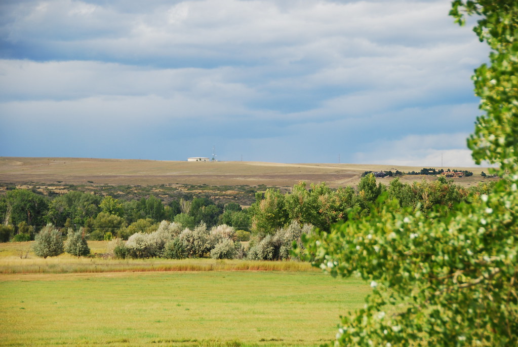
Bucolic Boulder

cliff fog

Yin and Yang
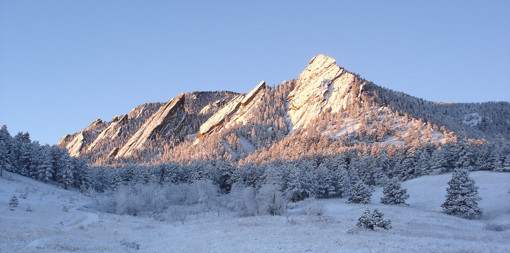
Flatirons Sunrise

Go West!
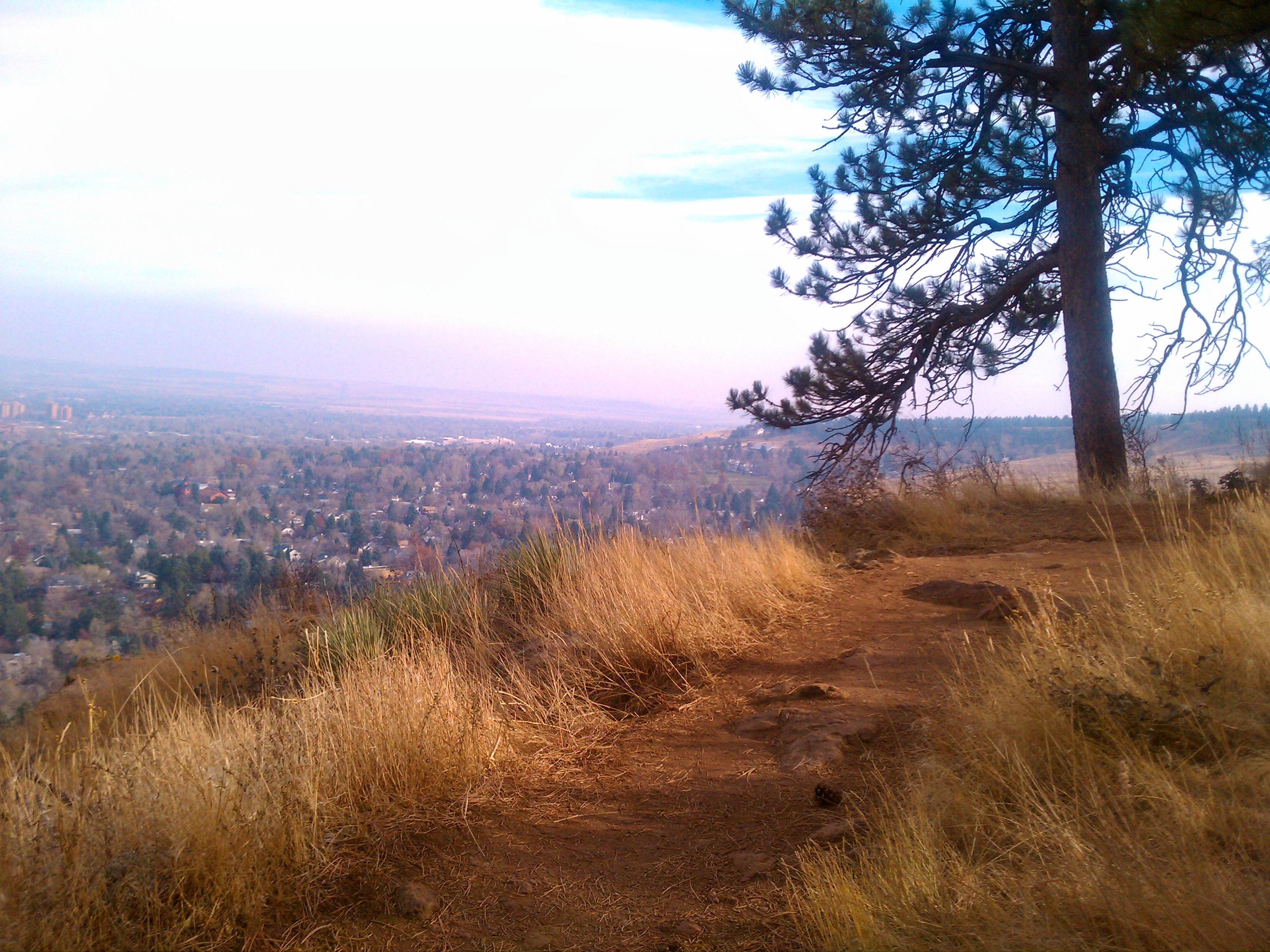
Flagstaff Trail overlooking road and Boulder
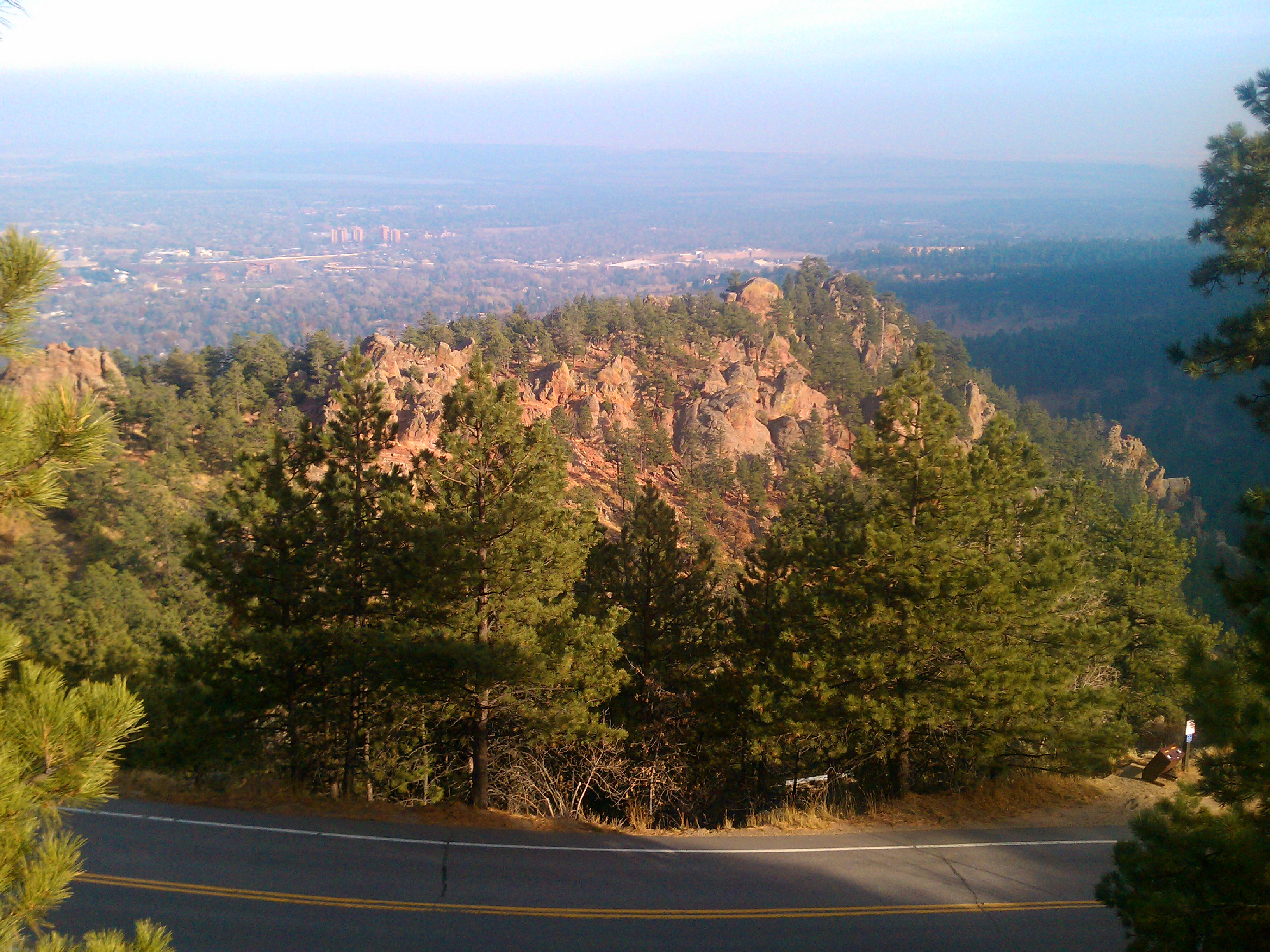
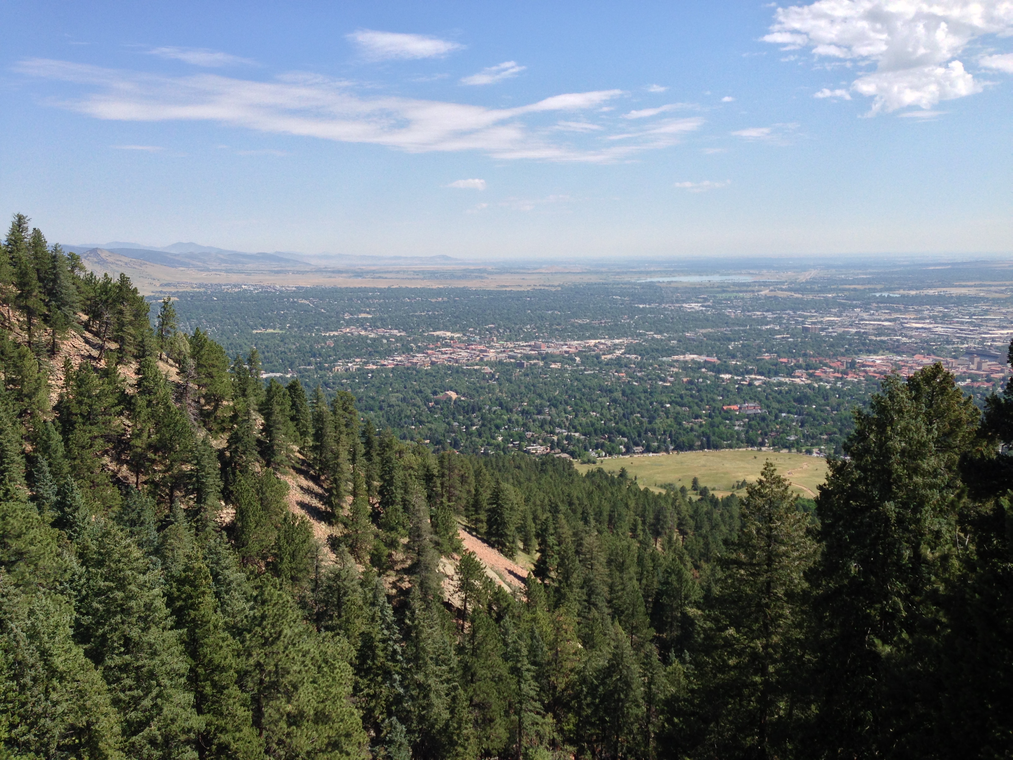
View over Boulder

NCAR with the Table Mesa Backdrop
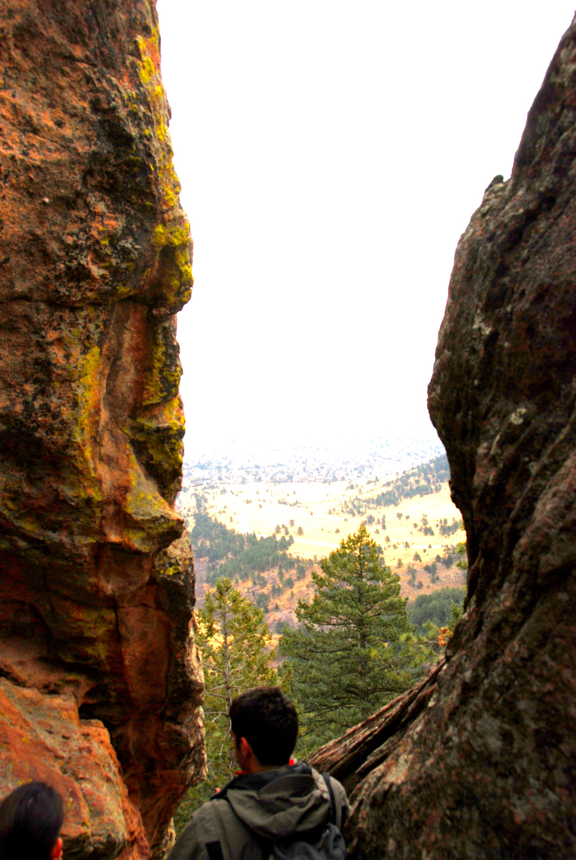
A Notch
Boulder, CO
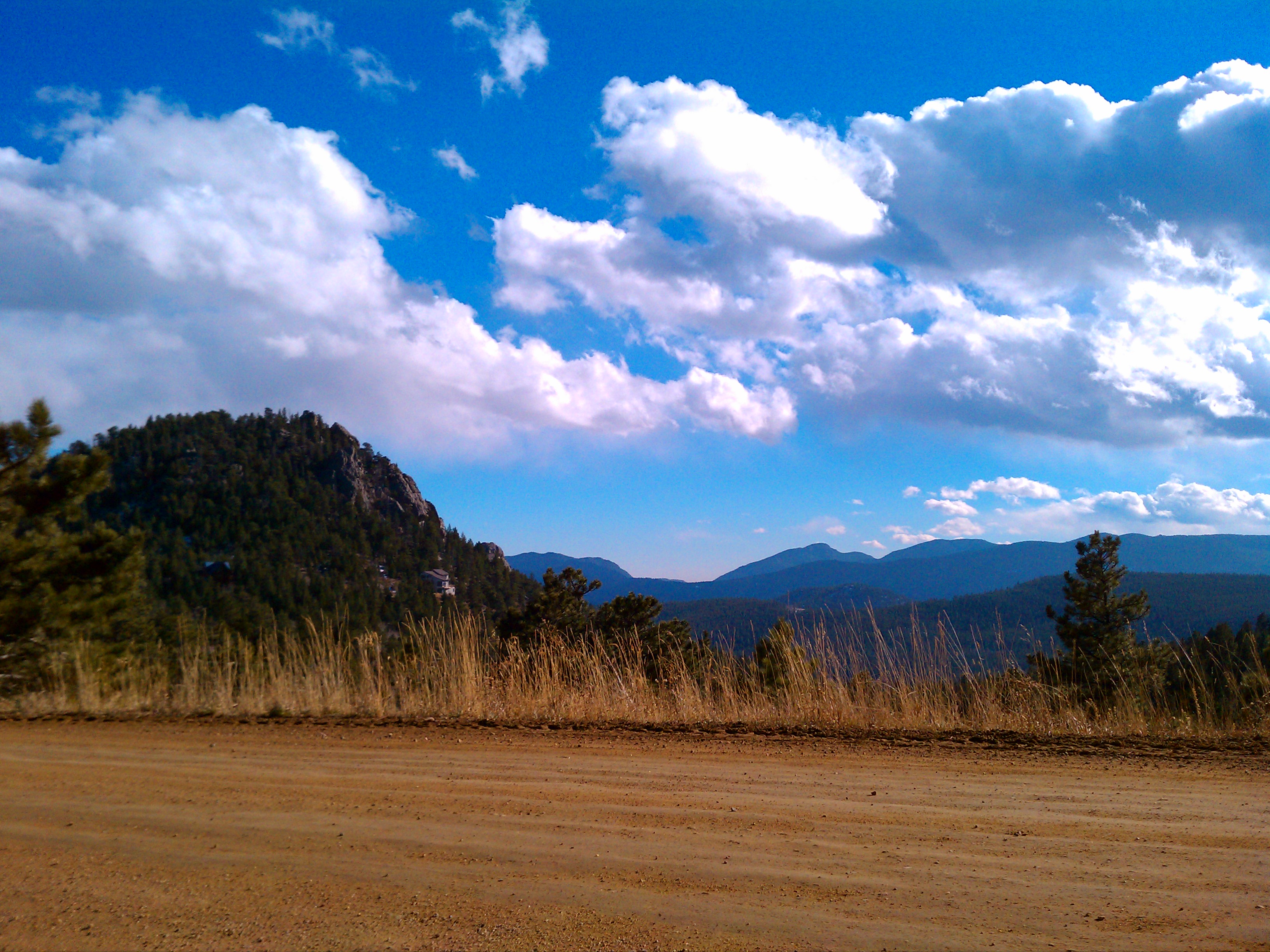
Beautiful Vista
View from Mags
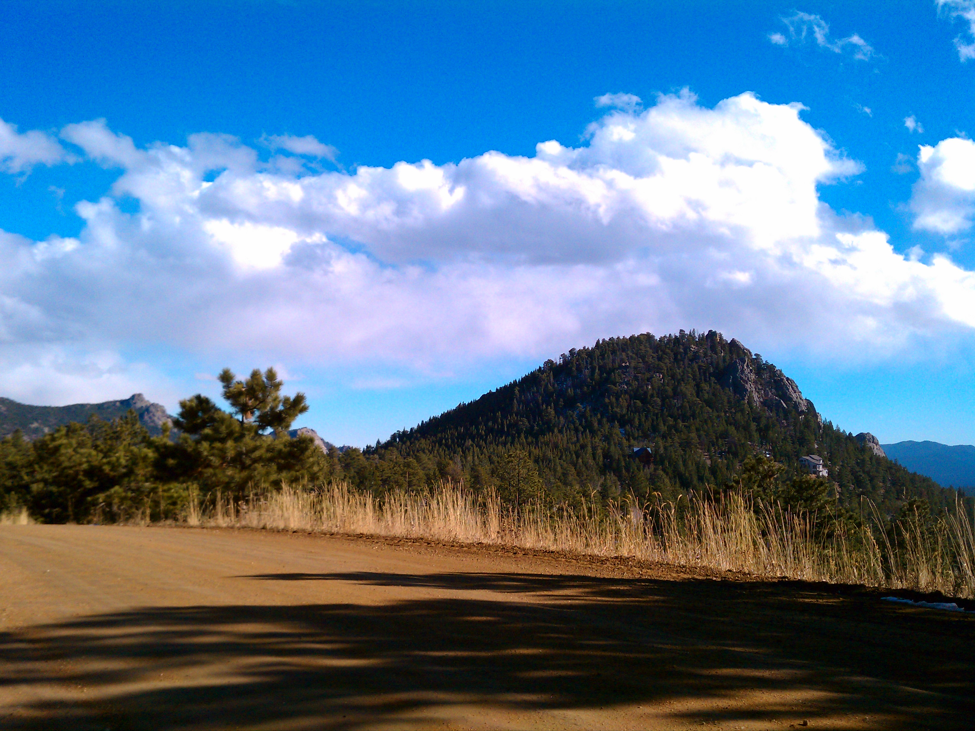
View from Mags
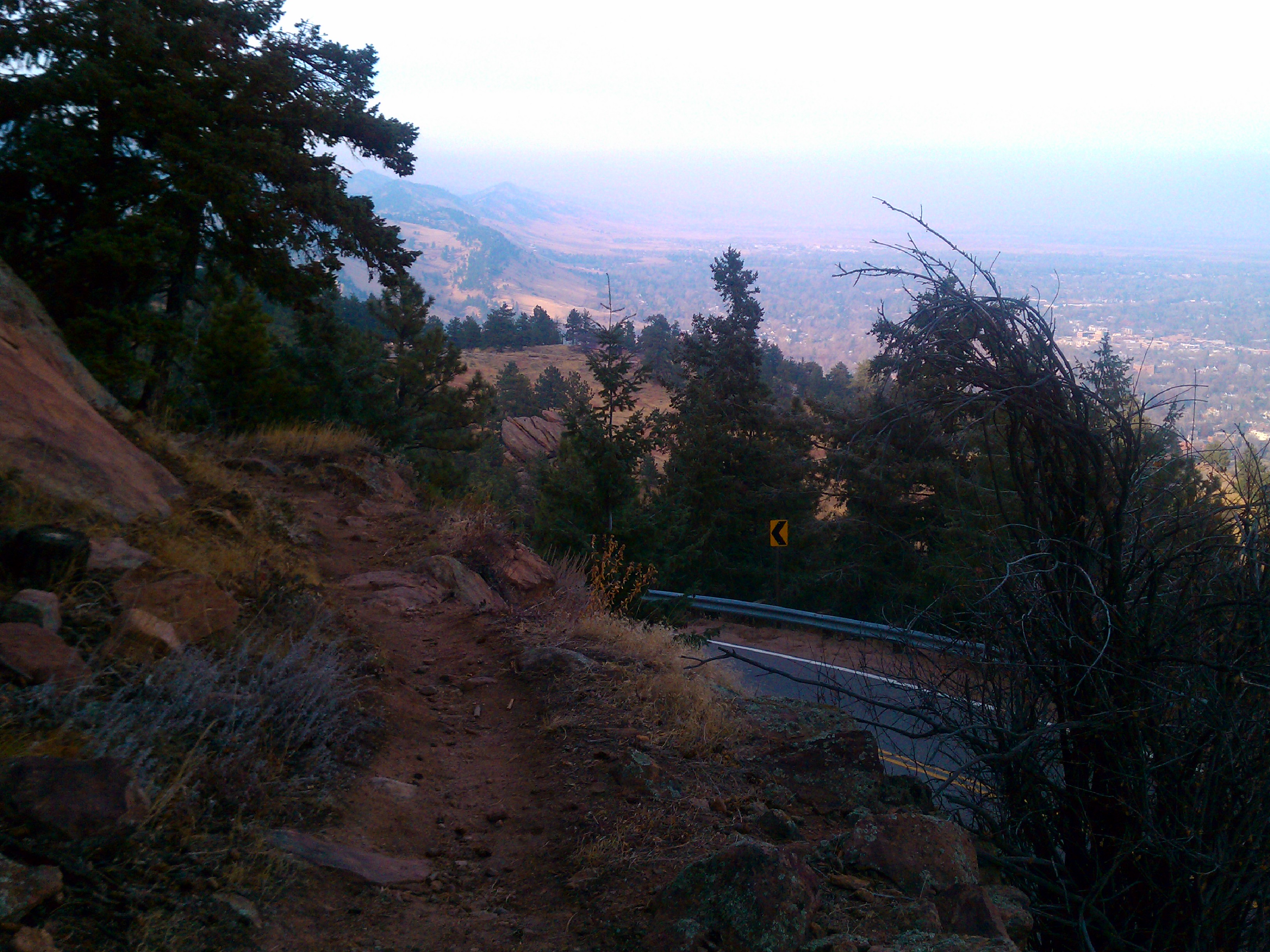
Flagstaff Trail looking north
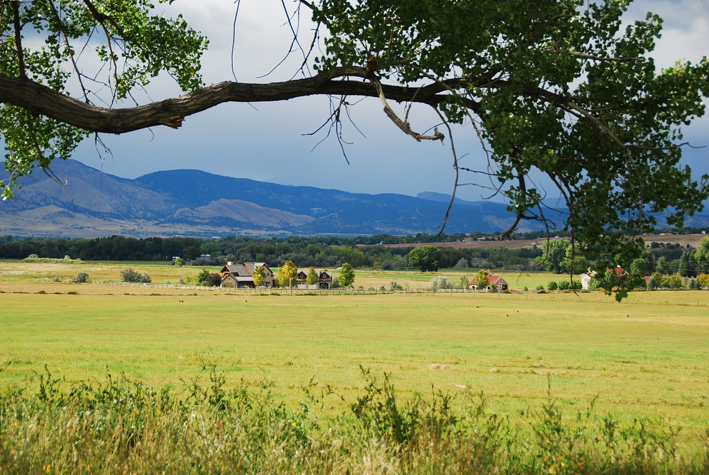
Teller Farm Openess
Topographic Map of South Boulder Peak, Colorado, USA
Find elevation by address:

Places near South Boulder Peak, Colorado, USA:
Eldorado Springs
679 Cougar Dr
3333 Eldorado Springs Dr
Flatirons
7321 Flagstaff Rd
1624 Bear Mountain Dr
1624 Bear Mountain Dr
7321 Flagstaff Rd
2410 Cragmoor Rd
5156 Flagstaff Rd
2562 Briarwood Dr
Devil's Thumb - Rolling Hill
83 Benthaven Pl
6002 Flagstaff Rd
1926 Hardscrabble Dr
Chautauqua Trail
6002 Flagstaff Rd
Eldorado Springs Drive
1405 Kendall Dr
2855 Juilliard St
Recent Searches:
- Elevation of Corso Fratelli Cairoli, 35, Macerata MC, Italy
- Elevation of Tallevast Rd, Sarasota, FL, USA
- Elevation of 4th St E, Sonoma, CA, USA
- Elevation of Black Hollow Rd, Pennsdale, PA, USA
- Elevation of Oakland Ave, Williamsport, PA, USA
- Elevation of Pedrógão Grande, Portugal
- Elevation of Klee Dr, Martinsburg, WV, USA
- Elevation of Via Roma, Pieranica CR, Italy
- Elevation of Tavkvetili Mountain, Georgia
- Elevation of Hartfords Bluff Cir, Mt Pleasant, SC, USA