Elevation of South Bass Island, Put-In-Bay, OH, USA

Location: United States > Ohio > Ottawa County > Put-in-bay Township > Put-in-bay >

Longitude: -82.823667

Latitude: 41.6486321

Elevation: -10000m / -32808feet

Barometric Pressure: 295KPa

Elevation Map:

elevation map of South Bass Island, Put-In-Bay, OH, USA

Satellite Map:

Satellite map of South Bass Island, Put-In-Bay, OH, USA

Related Photos:

flag americanflag clouds outdoors ohio kmsmith
In God We Trust
day120366 lakeerie sunset april2012 3662012 2012
2012-04-29 Day 120/366
4thofjuly fireworks holiday middlebass ohio usa fav10
Put-In-Bay 4th of July Fireworks (2013)
day46365 nightscene lakeerie davis davisbesse february2011 3652011 2011
2011-02-15 Day 46/365
marbleheadohio marblehead noreaster marbleheadlighthouse waves lakeerie 0320 3652018 march2018
2018-03-20 Day 79/365
instagramapp square squareformat iphoneography uploaded:by=instagram
If you haven't noticed by now..I'm not a huge fan of photographing in cold weather...so here is a Lake Erie view from warmer times! Have a wonderful Friday and a safe St. Patrick's Day!
winter orange moon lake ice canon march spring marblehead super luna full handheld erie 50d 24105f4l 713pm 56distance perigeesyzygy
There's a Moon out tonight
lake lakeerie sunset middlebass ohio usa
Middle Bass Island Sunset (2013-08-31)
lake lakeerie sunset middlebass ohio usa
Middle Bass Island Sunset (2013-08-31)
longexposure travel trees winter light shadow ohio moon lighthouse lake cold ice water night star rocks marbleheadlighthouse lakeerie trails rocky boulder greatlakes moonrise shore limestone startrails 1822 startrail pennisula marbleheadohio discoverohio williamkelly discoverohiotravel greatlakelighthousetour 15thuscongress
Marblehead Moonrise
animaltracksinthesnow day66365 march2011 3652011 2011
2011-03-07 Day 66/365
pelee island canada water aerialshot aerialview
JAK_2792-Pano
boat cutterneahbaywtgb105 lake lakeerie military ship transportation unitedstatescoastguard vehicle watercraft middlebass ohio usa
United States Coast Guard Cutter Neah Bay (WTGB-105)
ohio stalagmite stalactite putinbay flowstone speleothem southbassisland ottawacounty sodastraw perryscave
Flowstone In Perry's Cave
square squareformat rise iphoneography instagramapp uploaded:by=instagram
View, minus the Ash tree
ohio ptb greatlakespassengerships transportation oldputinbay putinbay oldpib
SS Put-In-Bay
moon lake ice water march marblehead open horizon super full erie rise buoy fullwormmoon 100words lentenmoon 709pm artistictemperamentscavengerhunt atsh27 27givemethemoon 28distance 67distance
Full Moon Rise over Lake Erie
View of Lake Erie from Kelleys Island
day95365 lakeerie byrnealbeach stormclouds whitecaps april2011 3652011 2011
2011-04-05 Day 95/365
square squareformat hefe iphoneography instagramapp uploaded:by=instagram foursquare:venue=4fe5c341e4b08674ca1d978b
My view.
3652018 snow 0206 february2018
2018-02-06 Day 37/365
lakesidemarblehead ohio unitedstates us marblehead lakeerie landscape
EM570106.jpg
Reflections at night
morning trees lake snow rock sunrise frozen twilight marblehead marbleheadlighthouse lakeerie timbazzinet
Marblehead with Tim Bazzinet
lighthouse bw marblehead landscape lakesidemarblehead ohio unitedstates us
EM570117.jpg
longexposure ohio lighthouse clouds sunrise landscape nikon marblehead marbleheadlighthouse lakeerie hdr photomatix neutraldensityfilter hdrsunrise nikond90
Marblehead Lighthouse
ohio lake nature water canon landscape lakeerie wave kelleysisland
The North Shore
travel water night landscape unitedstates portfolio
Pier at Night
landscape marblehead lakeerie fisherman lakesidemarblehead ohio unitedstates us
EM170010.jpg
ohio seascape sunrise landscape nikon marblehead marbleheadlighthouse hdr photomatix tonemap marbleheadohio hdrsunrise nikond90 ohiolighthouse
Marblehead Lighthouse
ohio lighthouse seascape landscape nikon marblehead marbleheadlighthouse hdr photomatix tonemap marbleheadohio nikond90
Marblehead Lighthouse
square squareformat hefe iphoneography instagramapp uploaded:by=instagram foursquare:venue=4bdc9393ccf52d7f5667786d
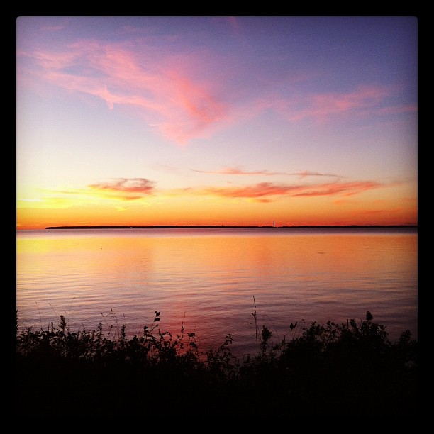
Sunset over South Bass
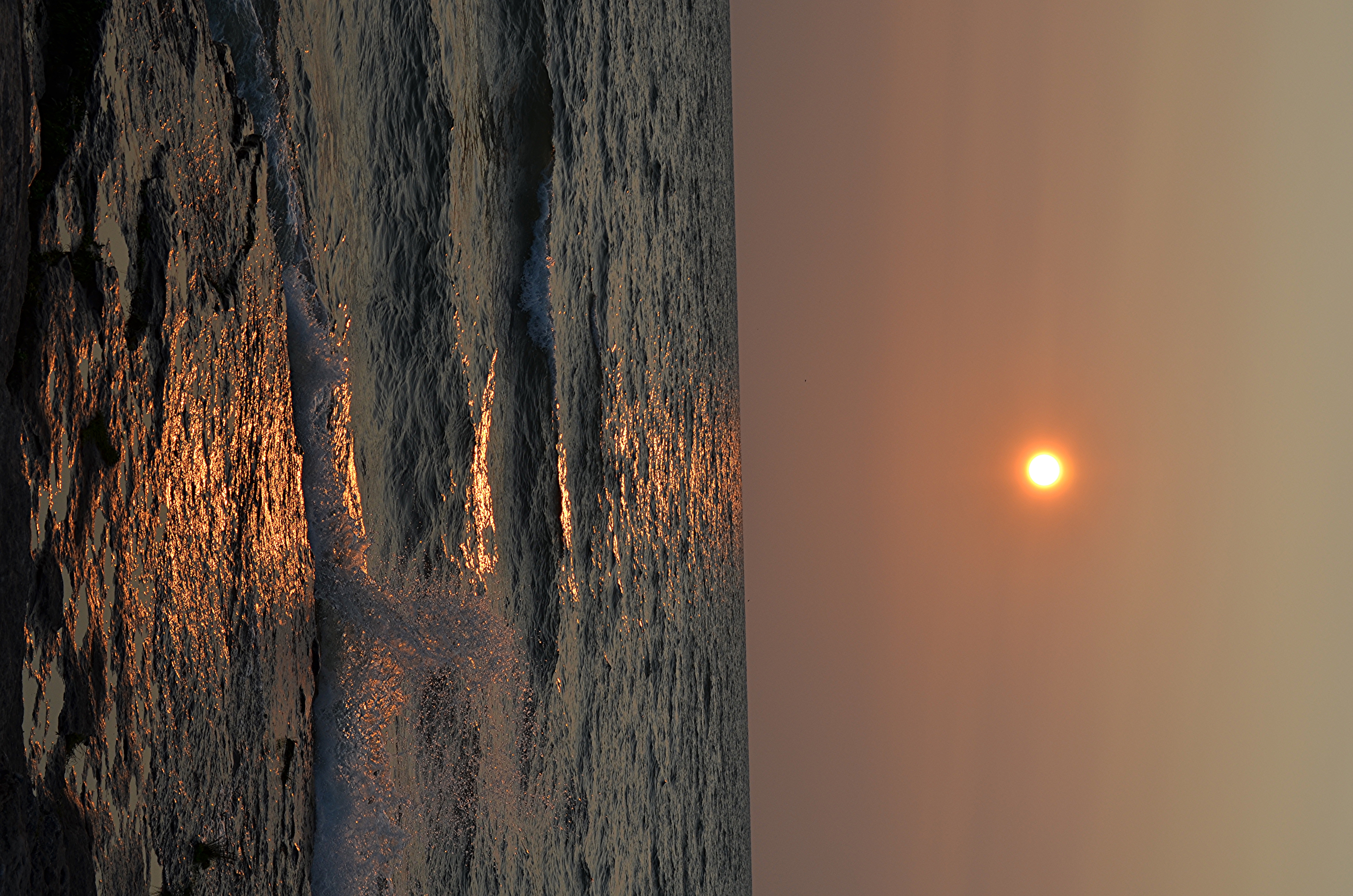
longexposure travel sunset ohio sun lake beach nature water reflections outdoors midwest rocks surf waves lakeerie natural dusk horizon pebbles shore timeelapsed pennisula nuclearpowerstation ohiostatepark catawbaisland ohiotourism discoverohio catawbaislandstatepark davisbessie ohiotravel myohio
Lake Erie Sunset
ohio rain marblehead portclinton
Lake Erie Rain
Gibraltar Island
winter ohio snow cold ice lakeerie flag win usflag
Frozen Lake Erie
day173365 stormclouds lake june2011 3652011 2011
2011-06-22 Day 173/365
sunset ohio nature water colors sunrise landscape marblehead lakes erie glap
Lake Erie
ohio summer lighthouse tree clouds outdoors marblehead marbleheadlighthouse kmsmith
Marblehead Lighthouse
Sea gull flying into the sunset