Elevation of South 62nd Avenue, S 62nd Ave, Yakima, WA, USA
Location: United States > Washington > Yakima County > Yakima >
Longitude: -120.59171
Latitude: 46.5459941
Elevation: 359m / 1178feet
Barometric Pressure: 97KPa
Elevation Map:
Satellite Map:
Related Photos:

Selah Creek

Yakima Valley Panorama

Sunset 360 at YVCC
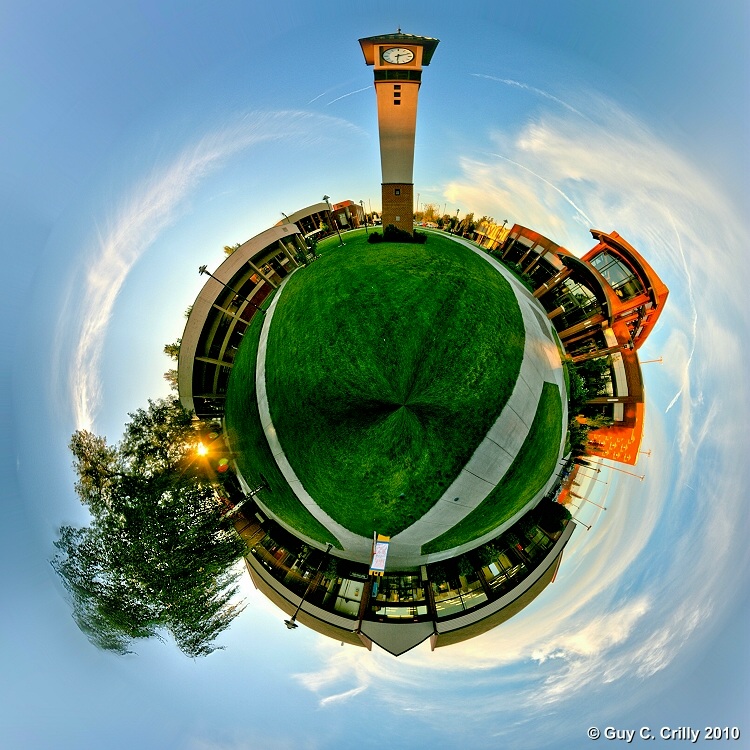
YVCC Polar Panorama
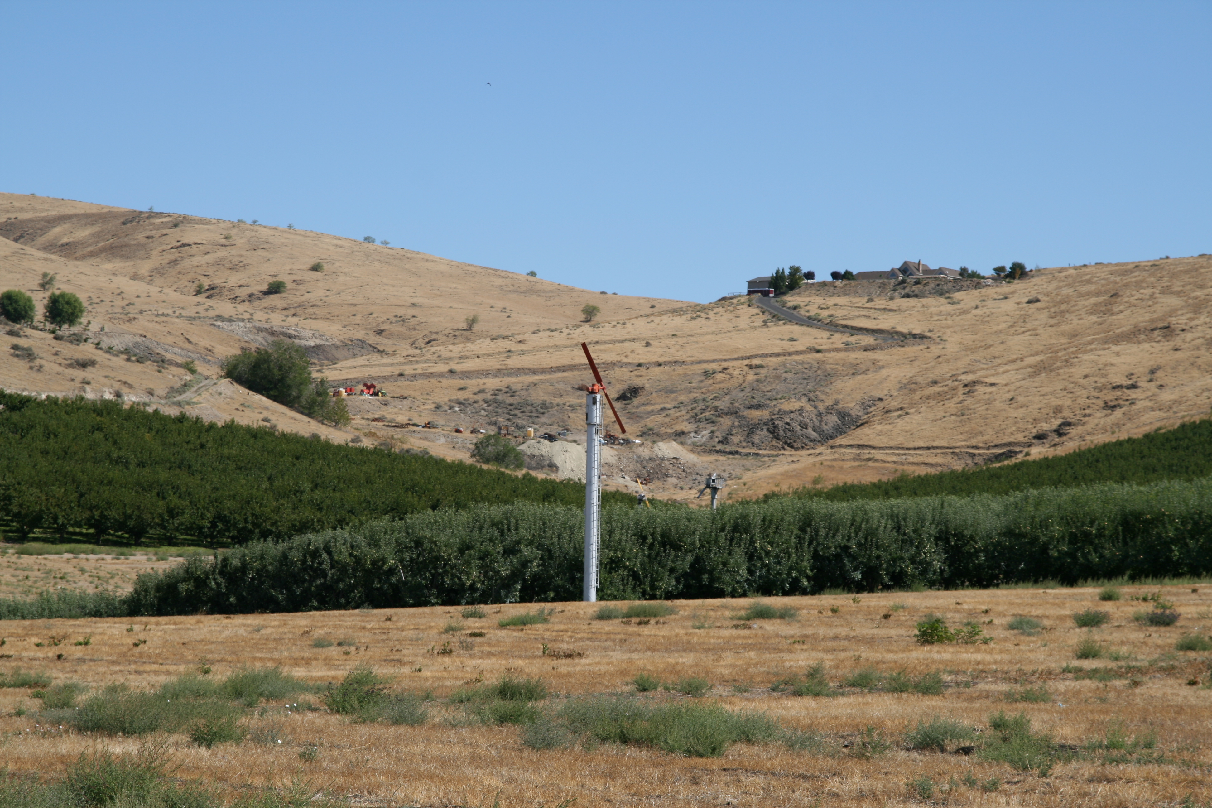
View from Sagelands Vineyard

View from Sagelands Vineyard

View from Sagelands Vineyard
Topographic Map of South 62nd Avenue, S 62nd Ave, Yakima, WA, USA
Find elevation by address:

Places near South 62nd Avenue, S 62nd Ave, Yakima, WA, USA:
3312 S 62nd Ave
3209 Southcreek Dr
2610 S 37th Ave
1210 S 72nd Ave
9206 Coolidge Rd
705 S 68th Ave
201 S 69th Ave
8702 Westbrook Ave
Summitview Avenue
4911 Summitview Ave
Yakima Air Terminal – Mcallister Field
6618 Appleview Rd
Conrad Avenue
North 51st Avenue
4606 Conestoga Blvd
1206 Dazet Rd
Yakima Tennis Club
2102 W Maclaren St
2101 W Maclaren St
Orchard Ave, Yakima, WA, USA
Recent Searches:
- Elevation of Corso Fratelli Cairoli, 35, Macerata MC, Italy
- Elevation of Tallevast Rd, Sarasota, FL, USA
- Elevation of 4th St E, Sonoma, CA, USA
- Elevation of Black Hollow Rd, Pennsdale, PA, USA
- Elevation of Oakland Ave, Williamsport, PA, USA
- Elevation of Pedrógão Grande, Portugal
- Elevation of Klee Dr, Martinsburg, WV, USA
- Elevation of Via Roma, Pieranica CR, Italy
- Elevation of Tavkvetili Mountain, Georgia
- Elevation of Hartfords Bluff Cir, Mt Pleasant, SC, USA