Elevation of Sophia Ln, Jacksonville, OR, USA
Location: United States > Oregon > Jackson County > Jacksonville >
Longitude: -122.96045
Latitude: 42.3201311
Elevation: 461m / 1512feet
Barometric Pressure: 96KPa
Elevation Map:
Satellite Map:
Related Photos:

Jacksonville Viewpoint

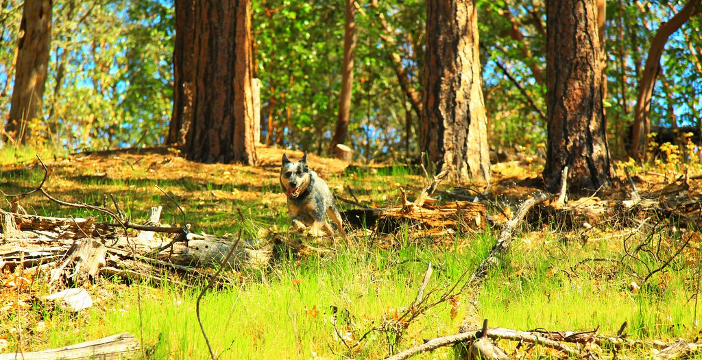
Oh crap, you found me!

View of the Applegate Valley, on the way out

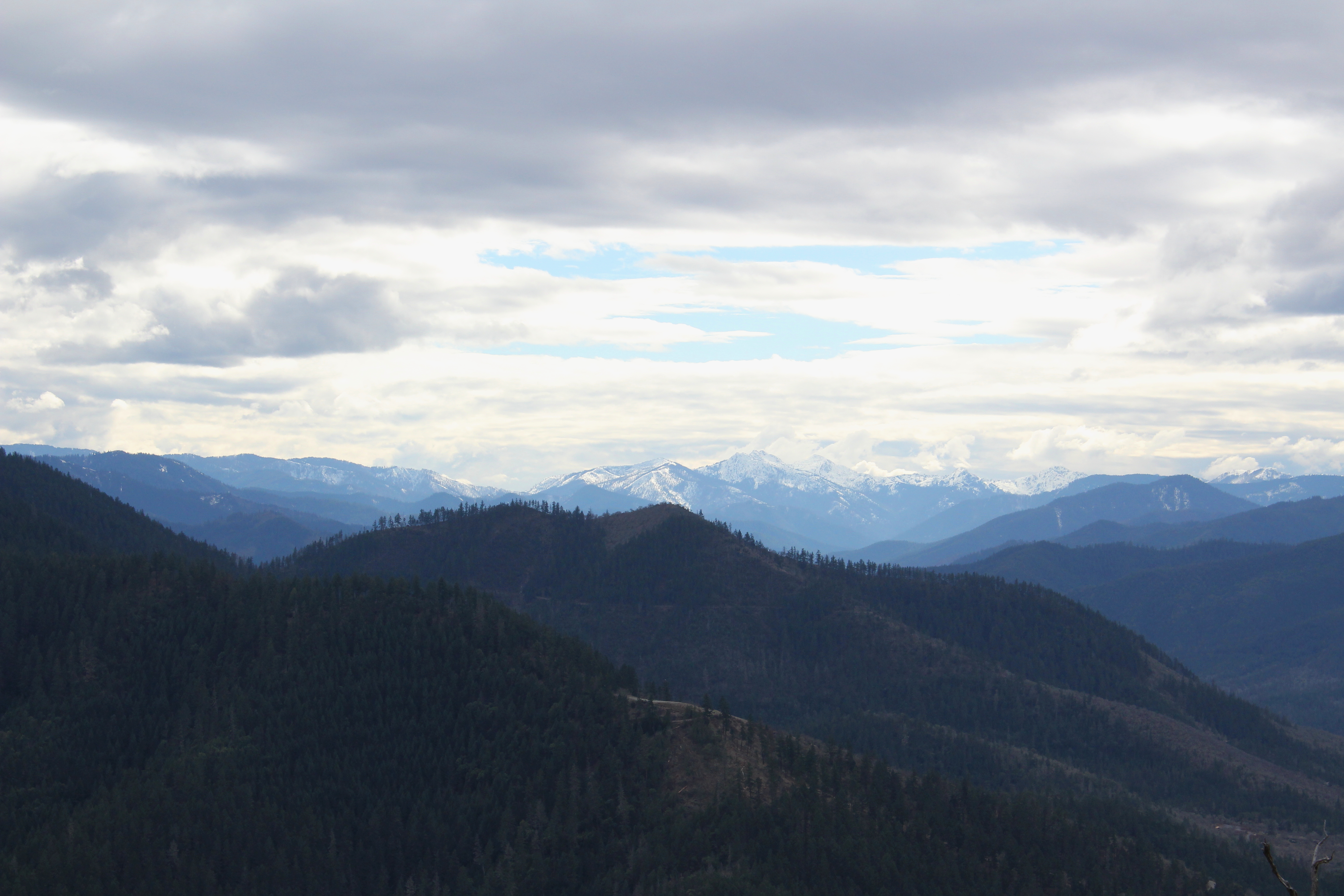
Still lots of snow in the Siskiyou foothills

Oak tree patterns

Oak trees against a blue sky

Trail, as it crested a high point

Walking off the edge of the world

Traci can walk and gawk at the same time

Epic view down to Ruch, Oregon

Bark beetle tracks on a fallen branch

Sunset, Night -1... - Cycle Oregon 2009

DAY 36/365: Salvage Yard Rothko

Partial view on the way down

Remnants from a past wildfire
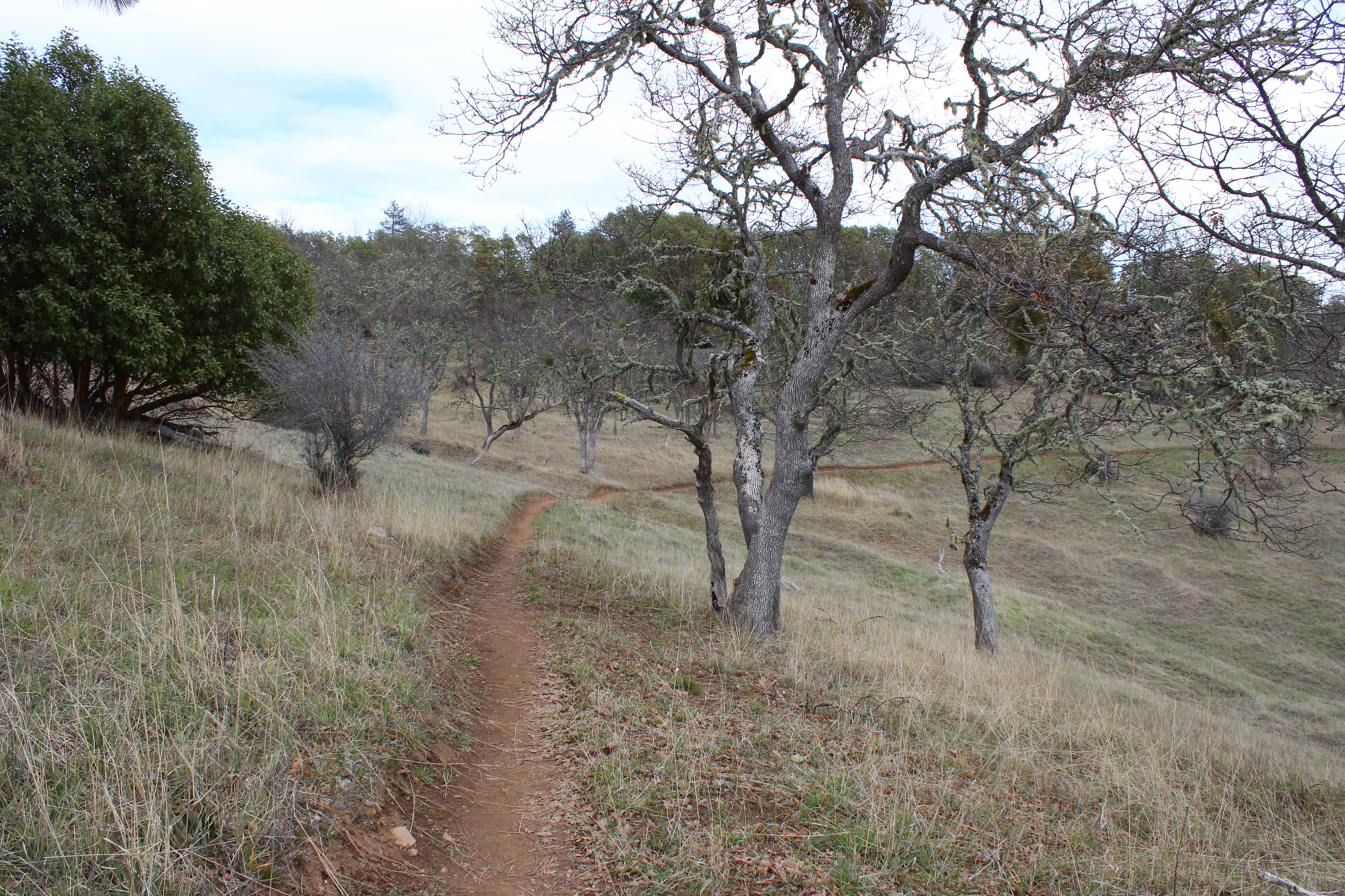
The path curves around a hillside

Lichen sways in the breeze
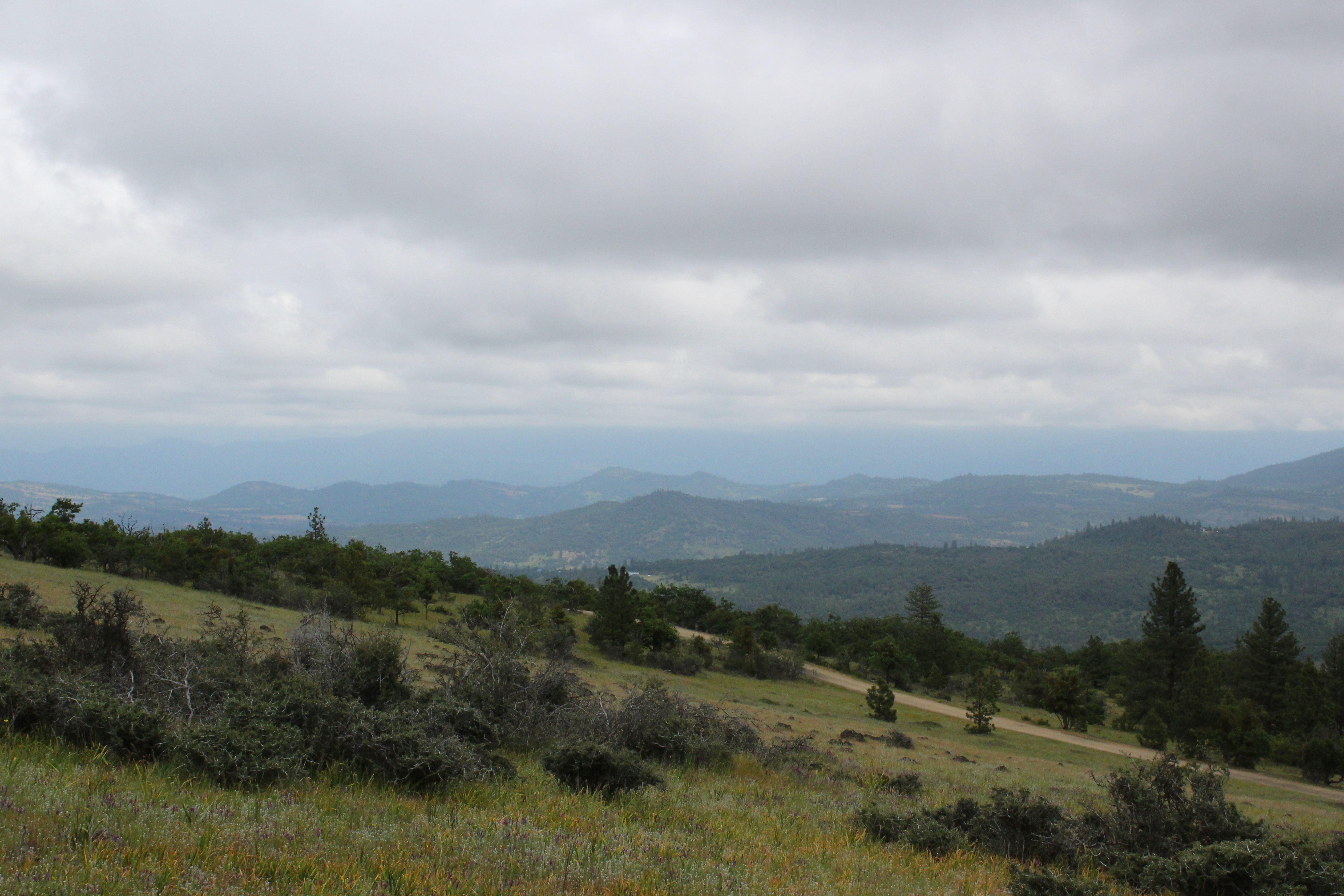
View towards the Cascades

Madrones reach for the sky

Yay, downhill for a bit

Death next to the trail

The Rogue River

Mount McLoughlin

Rogue Valley Oregon

The Rogue River

Puddles of Gold
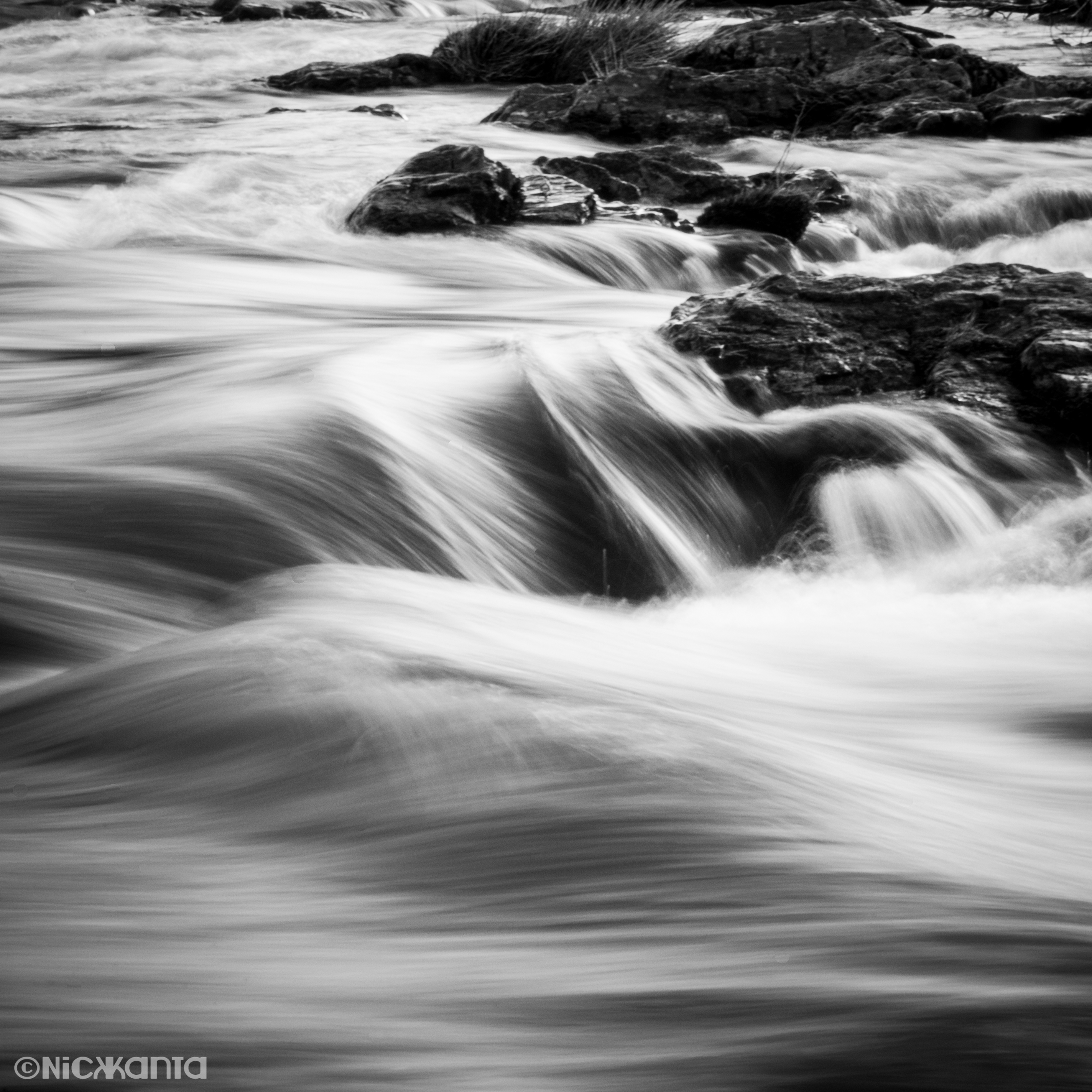
Silver Stream

N75435 United Airlines Boeing 737-900 (Continental Retro livery)

Medford lights from Roxy Ann Drive
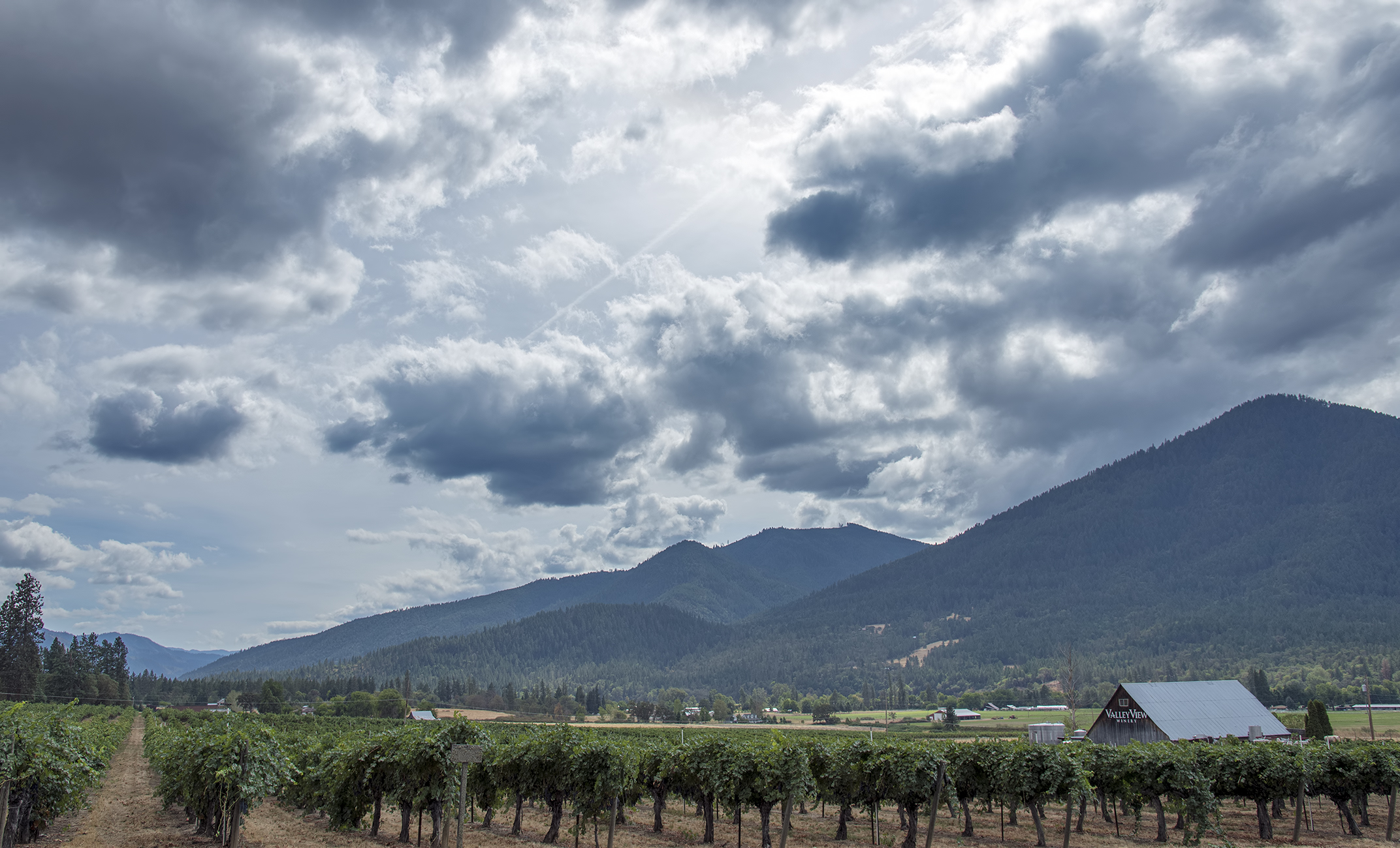
Valley View Winery
IMG_2427 (2)

N436QX Alaska Horizon Dash 8-400

N436QX Alaska Horizon Dash 8-400

Summit view panorama

N260SY Delta Connection Embraer ERJ-175

We had a great view of Bear Creek Valley
Anderson Butte and other Siskiyou Mountains friends
Topographic Map of Sophia Ln, Jacksonville, OR, USA
Find elevation by address:

Places near Sophia Ln, Jacksonville, OR, USA:
111 Mccully Ln
Jacksonville
Powderhorn Drive
4300 Tami Ln
Sweet Rose Farm
292 Morton Way
1898 Old Stage Rd
65 Winema Way
569 Hanley Rd
80 Placer Hill Dr
298 Sterling Creek Rd
3737 S Stage Rd
475 Wagon Trail Dr
2252 Jasmine Ave
747 Kaitlin Ln
2038 Woodside Dr
940 Newcastle St
921 Parkdale Ave
2057 Westwood Dr
190 N Ross Ln
Recent Searches:
- Elevation of Corso Fratelli Cairoli, 35, Macerata MC, Italy
- Elevation of Tallevast Rd, Sarasota, FL, USA
- Elevation of 4th St E, Sonoma, CA, USA
- Elevation of Black Hollow Rd, Pennsdale, PA, USA
- Elevation of Oakland Ave, Williamsport, PA, USA
- Elevation of Pedrógão Grande, Portugal
- Elevation of Klee Dr, Martinsburg, WV, USA
- Elevation of Via Roma, Pieranica CR, Italy
- Elevation of Tavkvetili Mountain, Georgia
- Elevation of Hartfords Bluff Cir, Mt Pleasant, SC, USA