Elevation of Jasmine Ave, Medford, OR, USA
Location: United States > Oregon > Jackson County > Medford >
Longitude: -122.92341
Latitude: 42.2965242
Elevation: 522m / 1713feet
Barometric Pressure: 95KPa
Elevation Map:
Satellite Map:
Related Photos:

DAY 36/365: Salvage Yard Rothko

The view from Roxy Ann Peak's summit

Beetle script

Jacksonville Viewpoint

view from hotel2

Tree art on the East ART

view from hotel3

Lower Table Rock and Barn from I-5

Oh crap, you found me!

Valley View Winery grapes

horse in tall grass

view from hotel

The view from the top. Here to preach

Madrones reach for the sky

manor view

Siskiyous, from my window

Oriental Poppies

Tunnel Ridge comes into view

Sunset, Night -1... - Cycle Oregon 2009
View to Bald Mountain on the way back

symmetry in skylights

13.10.28 LittleApplegateRivColor 014

Snaking along the Siskiyou

My favorite trail shot on the day

Coral Rae explores the summit

-

-

-

Siskiyou Sunset

Fall Foliage Jacksonville Oregon

Bear Creek Pond

Frosty Morning Sunrise

-

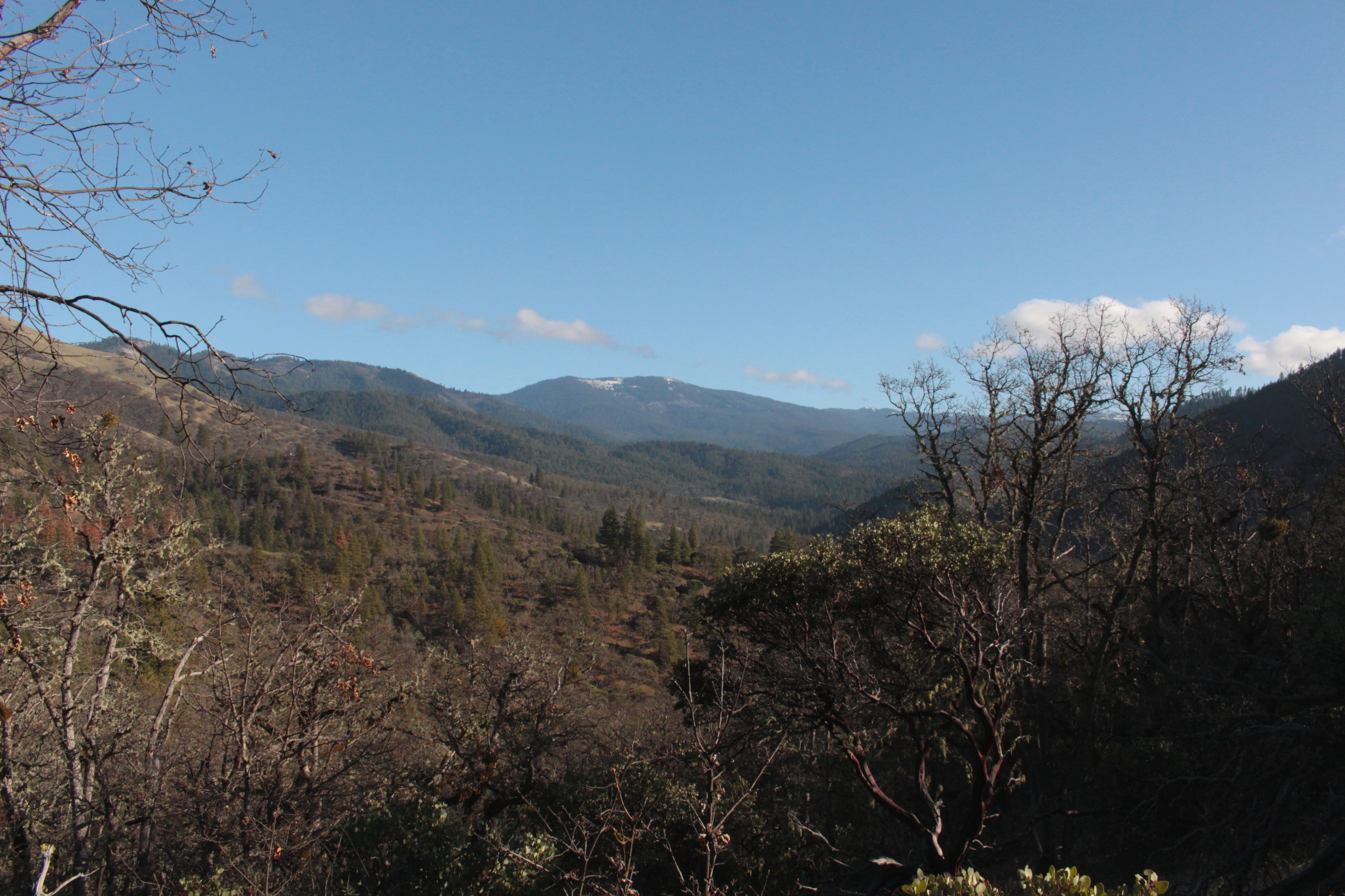
Siskiyou Mountains

Summer 2014

Rogue Valley Sunset

path though trees

around sunset, last night. Rogue River.

N603AX 10 Tanker Air Carrier DC-10 Tanker 914
Topographic Map of Jasmine Ave, Medford, OR, USA
Find elevation by address:

Places near Jasmine Ave, Medford, OR, USA:
3737 S Stage Rd
2038 Woodside Dr
2060 Andover Way
2057 Westwood Dr
65 Winema Way
4474 Dark Hollow Rd
569 Hanley Rd
190 N Ross Ln
Powderhorn Drive
6032 Griffin Ln
111 Mccully Ln
747 Kaitlin Ln
865 Sophia Ln
1071 Katie Mae Dr
Jacksonville
909 Maple Park Dr
25 N Peach St
921 Parkdale Ave
940 Newcastle St
Sweet Rose Farm
Recent Searches:
- Elevation of Corso Fratelli Cairoli, 35, Macerata MC, Italy
- Elevation of Tallevast Rd, Sarasota, FL, USA
- Elevation of 4th St E, Sonoma, CA, USA
- Elevation of Black Hollow Rd, Pennsdale, PA, USA
- Elevation of Oakland Ave, Williamsport, PA, USA
- Elevation of Pedrógão Grande, Portugal
- Elevation of Klee Dr, Martinsburg, WV, USA
- Elevation of Via Roma, Pieranica CR, Italy
- Elevation of Tavkvetili Mountain, Georgia
- Elevation of Hartfords Bluff Cir, Mt Pleasant, SC, USA