Elevation of Soap Hollow Rd, Hollsopple, PA, USA
Location: United States > Pennsylvania > Somerset County > Hollsopple >
Longitude: -78.960011
Latitude: 40.244831
Elevation: 523m / 1716feet
Barometric Pressure: 95KPa
Elevation Map:
Satellite Map:
Related Photos:
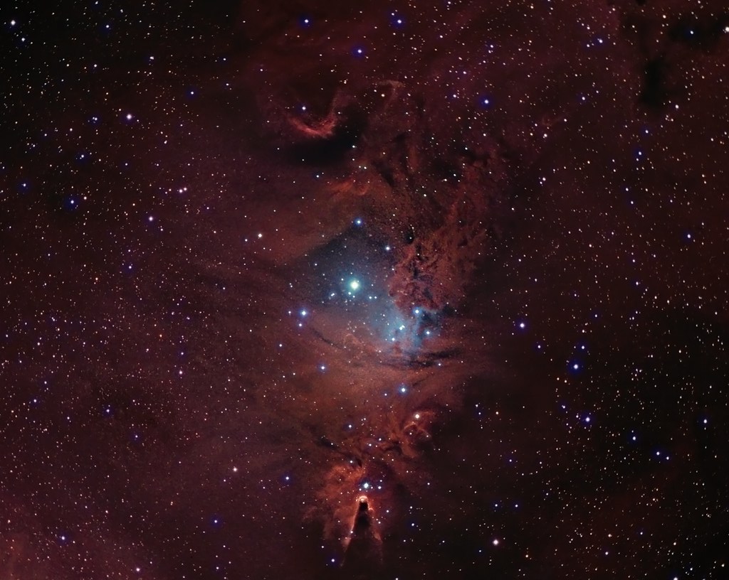
NGC 2264 CCD/DSLR Hybrid V2

Shaffer Bridge -- Somerset County, Pennsylvania
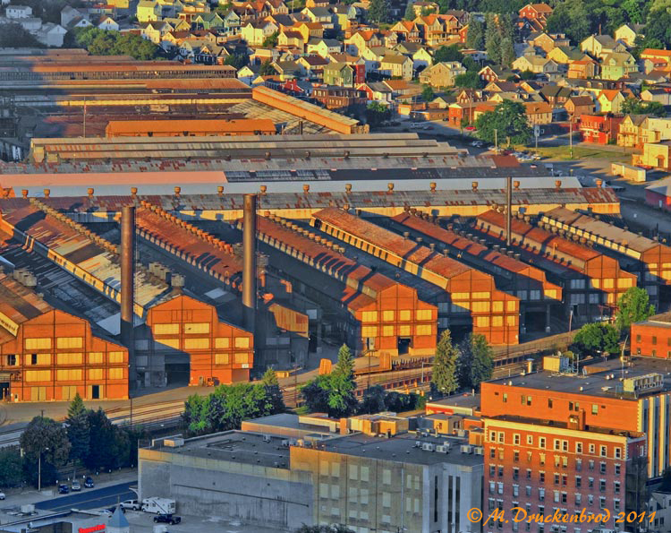
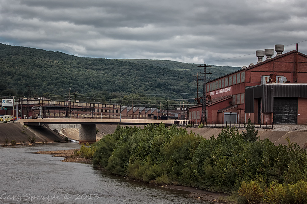
Johnstown Pennsylvania, Cambria Iron Company

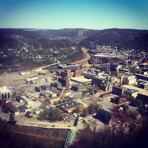
View form the top, The Johnstown Inclined Plane
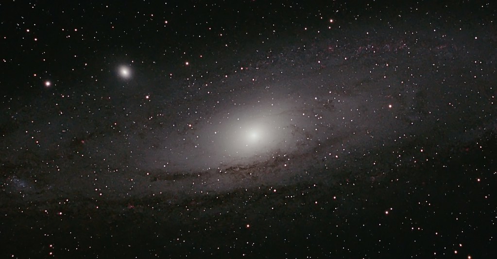
M 31 The Andromeda Galaxy
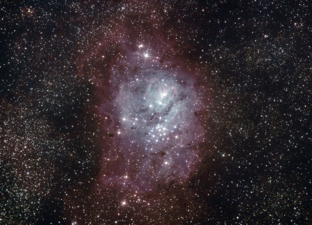
M 08 The Lagoon Nebula

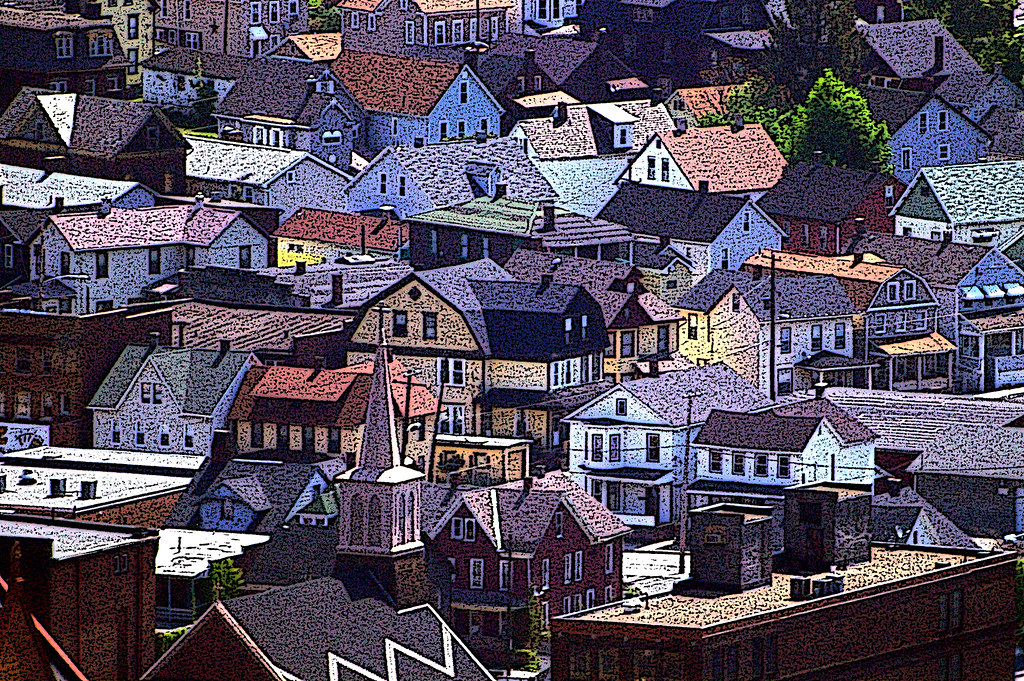
American Crow - Johnstown, Pennsylvania

Two views at once
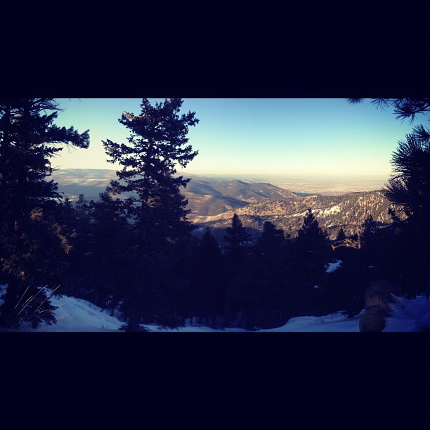
A View of the Mountains...

M31 FOV test
Northern View from the Flatirons.

what a view!

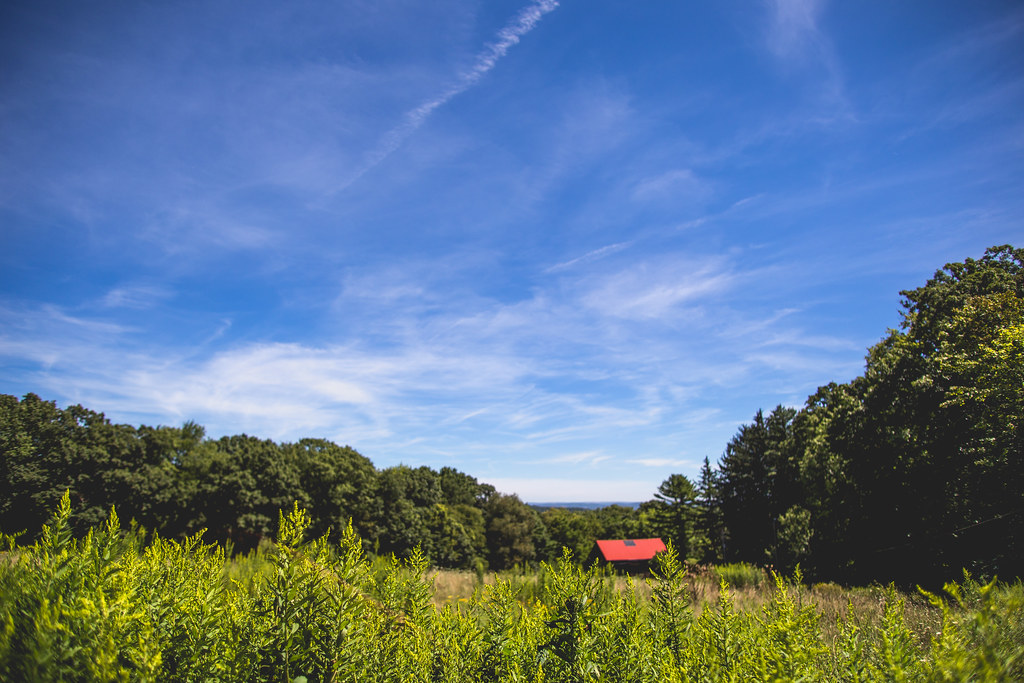
My own Mail Pouch barn!
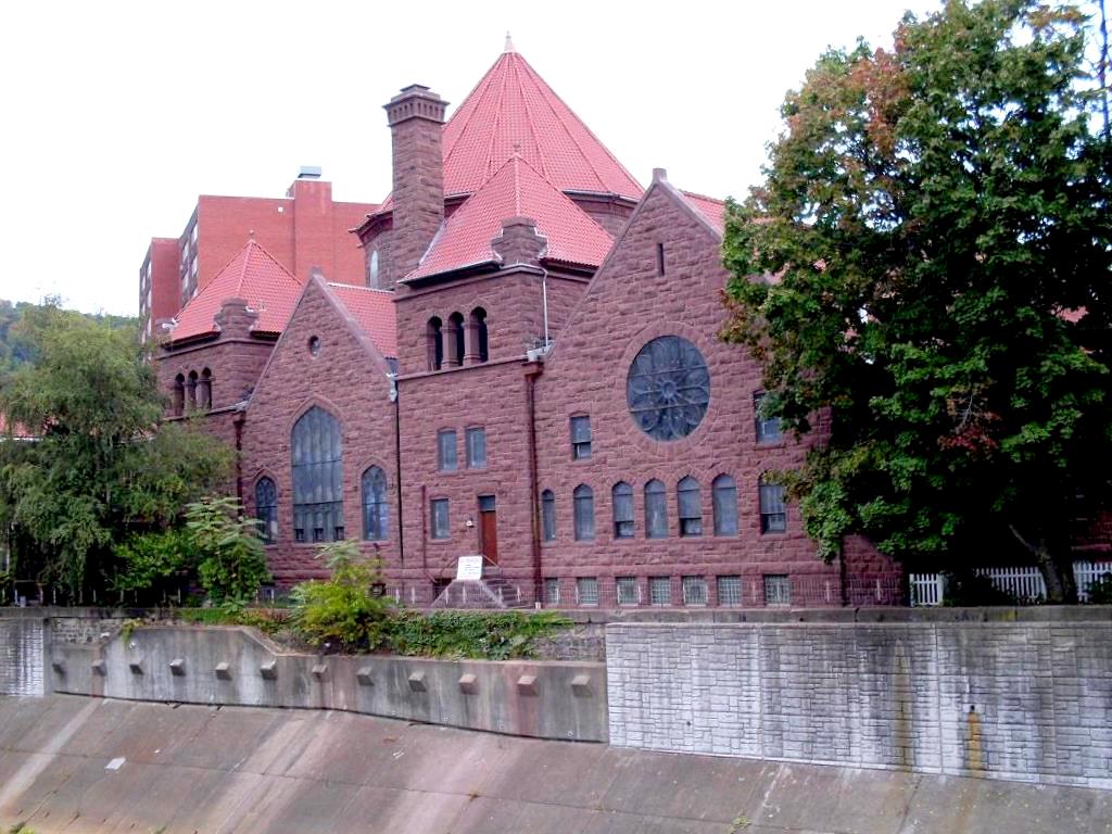
Johnstown, PA-- First United Methodist Church, 1910

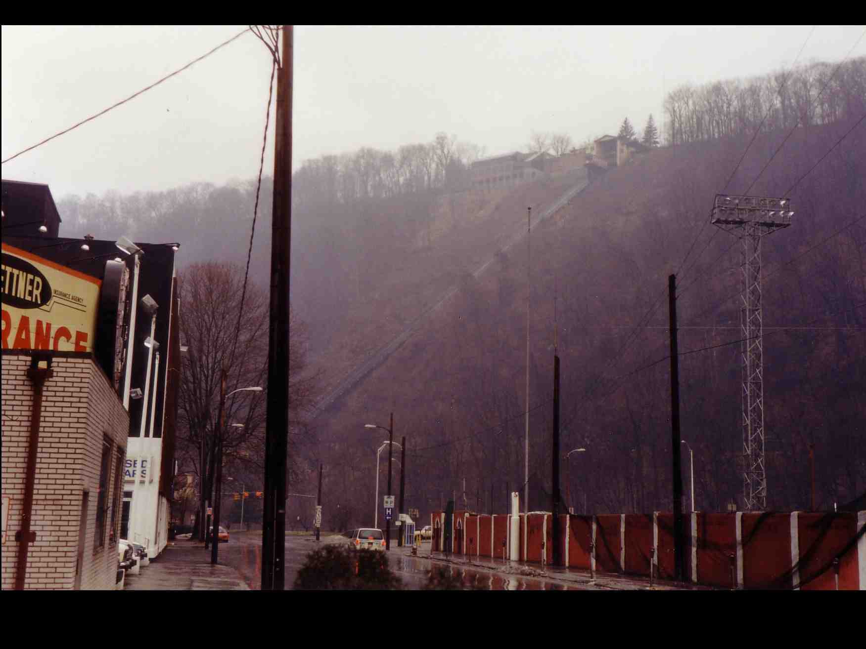
Johnstown PA Inclined Plane tracks and a city view

Shaffer Bridge -- Somerset County, Pennsylvania

Soap Hollow Road Barn -- Somerset County, Pennsylvania

Not Your Usual PRR Bridge Pt. 1
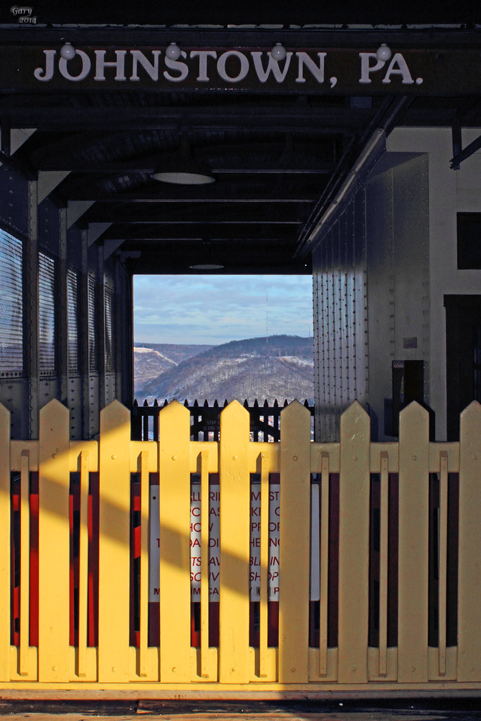
Johnstown, PA -view from top of the inclined plane
Johnstown Inclined Plane PA

1930 Ford Model A Hot Rod
Green, and Blue
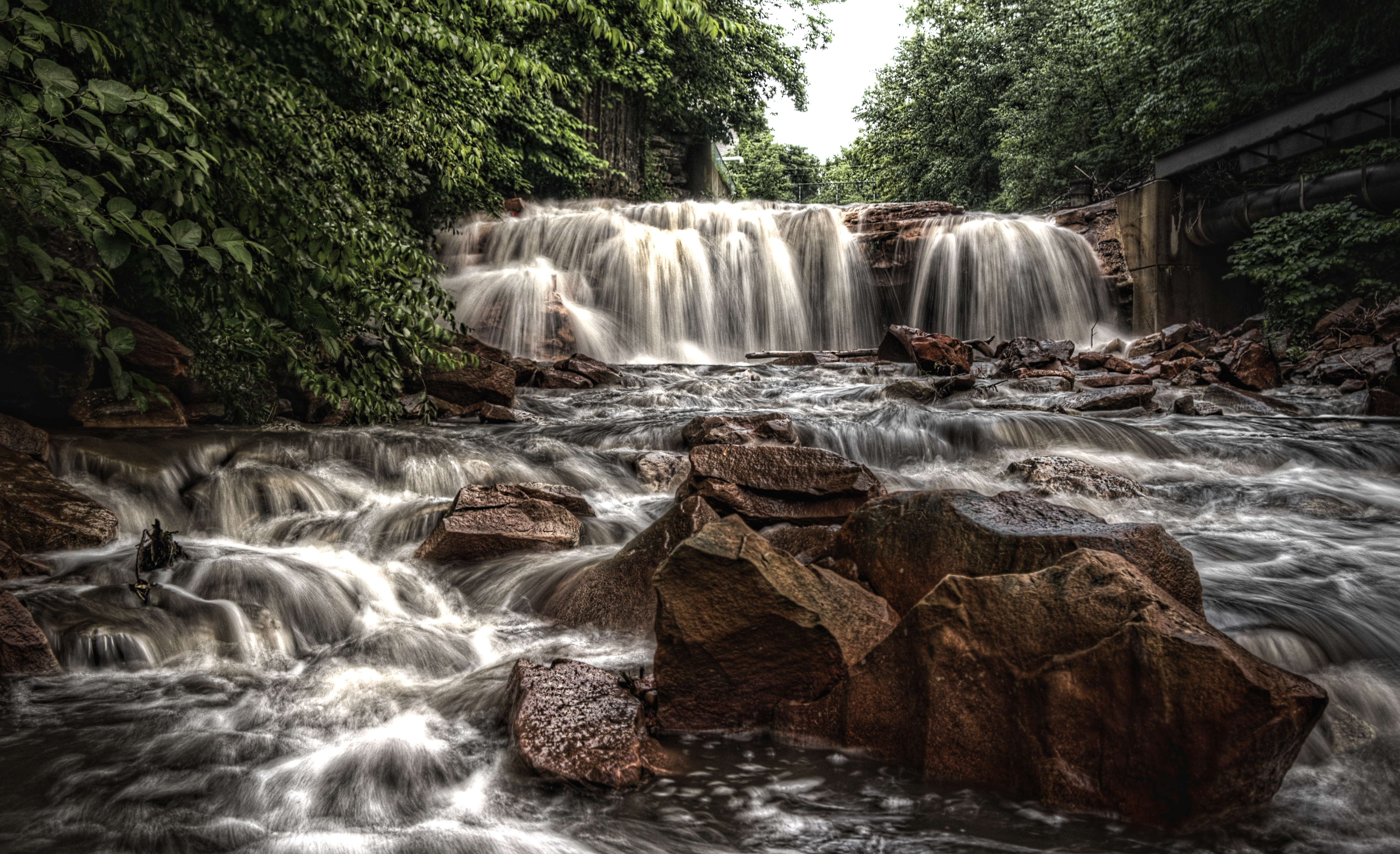
Paint Falls

Sang Hollow Extension
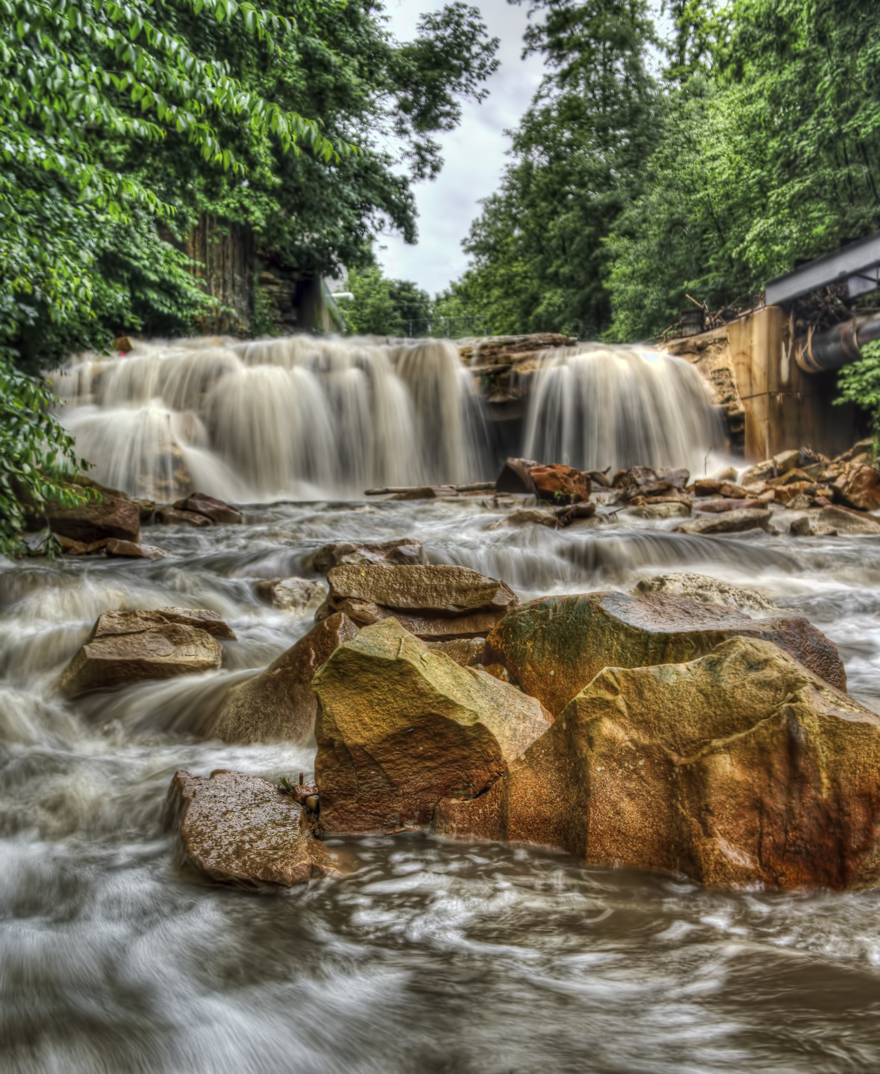
Paint Falls

End of summer/Labor Day Laurel Highlands nature tour.
Conemaugh River Quest

Paint Falls Side Waterfall

Such a beautiful town...been destroyed 3x by floods. We visited the Flood Museum and the site where the damn was today. Pretty tragic but very insightful. #JohnstownPA #JohnstownFlood
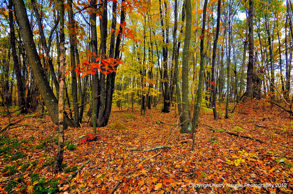
Fall leaves 2012
Beautiful day in Johnstown

Ben's Creek

peppering the ridge
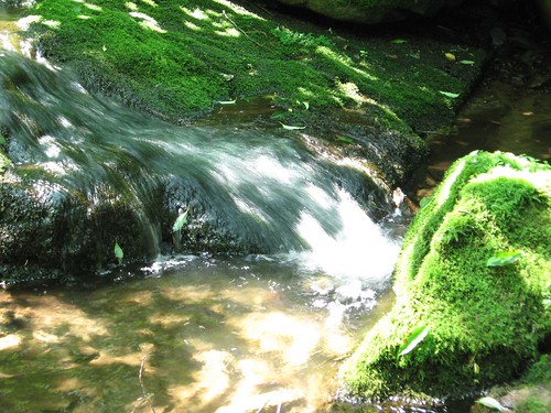
flowing water
Looking out at johnstown pa
Photo Sep 01, 2 31 35 PM

grandma's farm
inside a walkway
rolling sea
winter sun
Looking up at the incline plane
Topographic Map of Soap Hollow Rd, Hollsopple, PA, USA
Find elevation by address:

Places near Soap Hollow Rd, Hollsopple, PA, USA:
Conemaugh Township
4251 Somerset Pike
Davidsville
127 Annuity Ave
Phillips St, Jerome, PA, USA
Hollsopple
114 Main St
124 Oak St
Border St, Hollsopple, PA, USA
Jenner Township
Substation Road
Quemahoning Township
Boswell
Hooversville
1313 Paint St
Paint Township
Scalp Level
218 Atlantic St
218 Park Ave
600 Somerset Ave
Recent Searches:
- Elevation of Corso Fratelli Cairoli, 35, Macerata MC, Italy
- Elevation of Tallevast Rd, Sarasota, FL, USA
- Elevation of 4th St E, Sonoma, CA, USA
- Elevation of Black Hollow Rd, Pennsdale, PA, USA
- Elevation of Oakland Ave, Williamsport, PA, USA
- Elevation of Pedrógão Grande, Portugal
- Elevation of Klee Dr, Martinsburg, WV, USA
- Elevation of Via Roma, Pieranica CR, Italy
- Elevation of Tavkvetili Mountain, Georgia
- Elevation of Hartfords Bluff Cir, Mt Pleasant, SC, USA