Elevation of Boswell, PA, USA
Location: United States > Pennsylvania > Somerset County >
Longitude: -79.028916
Latitude: 40.1614651
Elevation: 566m / 1857feet
Barometric Pressure: 95KPa
Elevation Map:
Satellite Map:
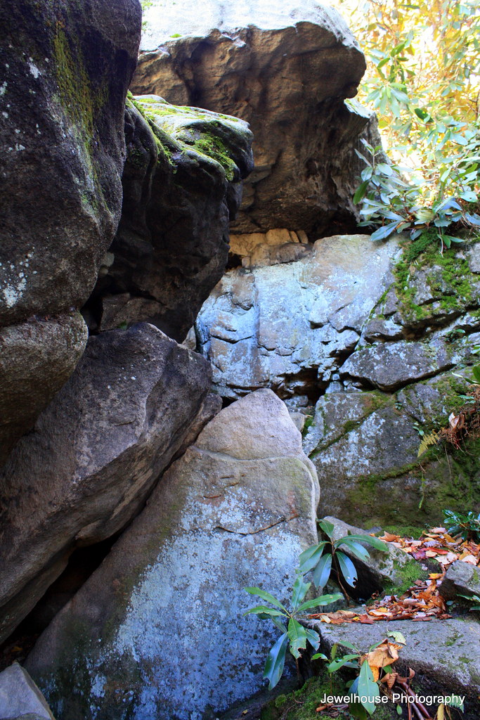
Related Photos:
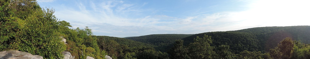
A Round View

Two views at once

Shaffer Bridge -- Somerset County, Pennsylvania
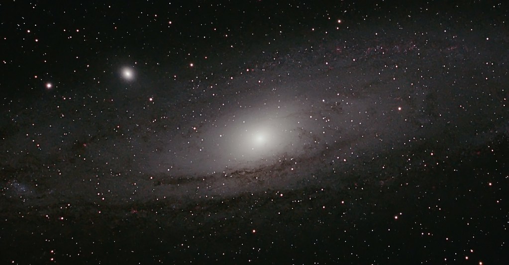
M 31 The Andromeda Galaxy
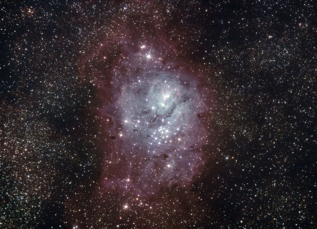
M 08 The Lagoon Nebula
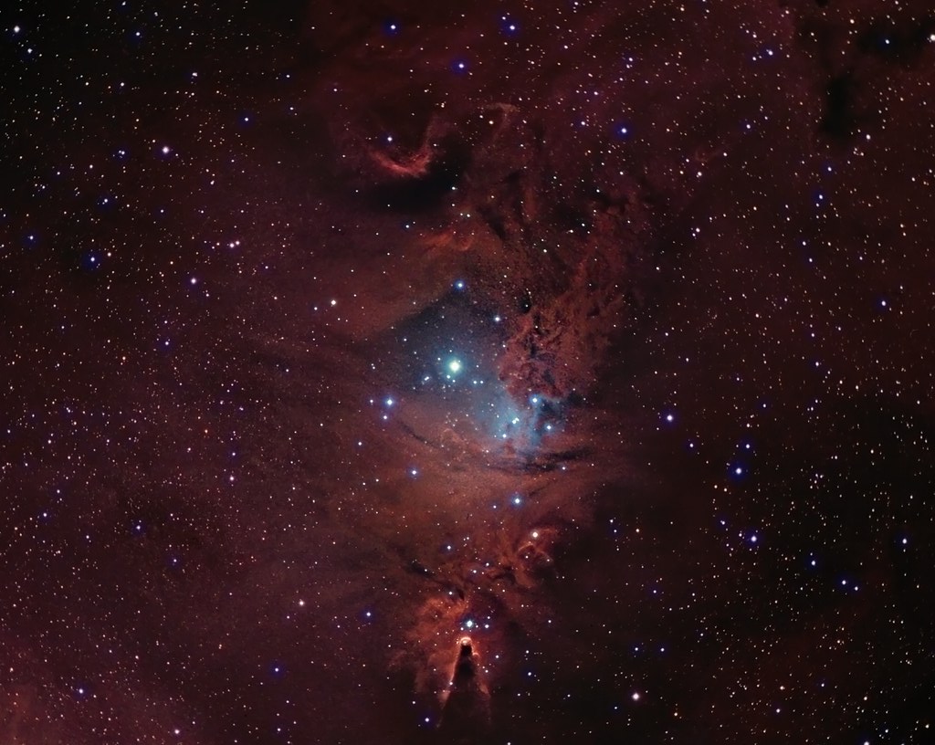
NGC 2264 CCD/DSLR Hybrid V2

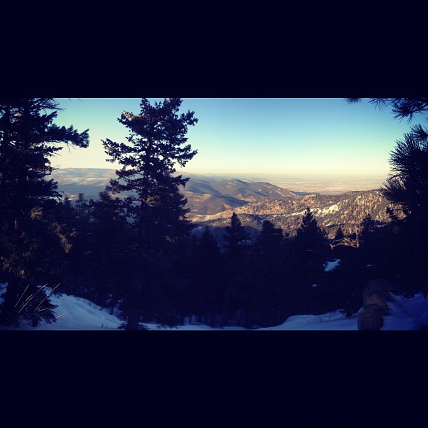
what a view!
Northern View from the Flatirons.

M31 FOV test
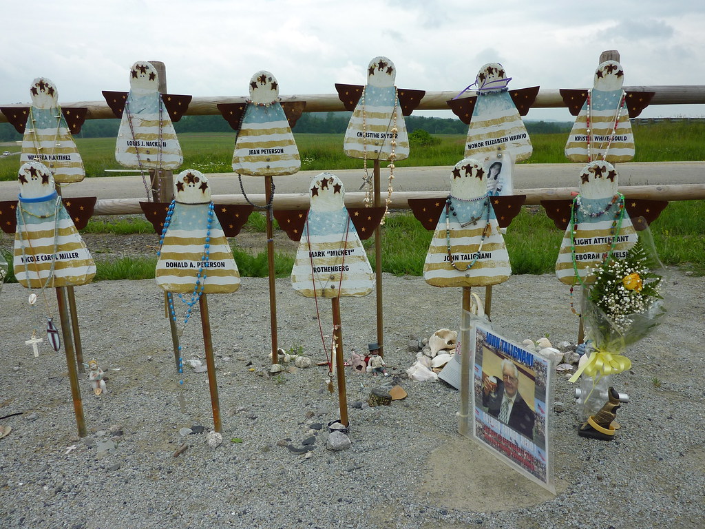
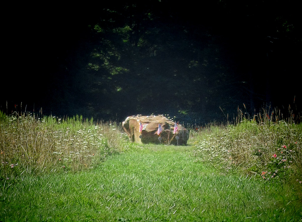
Memorial to the Victims of United Flight 93

Shaffer Bridge -- Somerset County, Pennsylvania

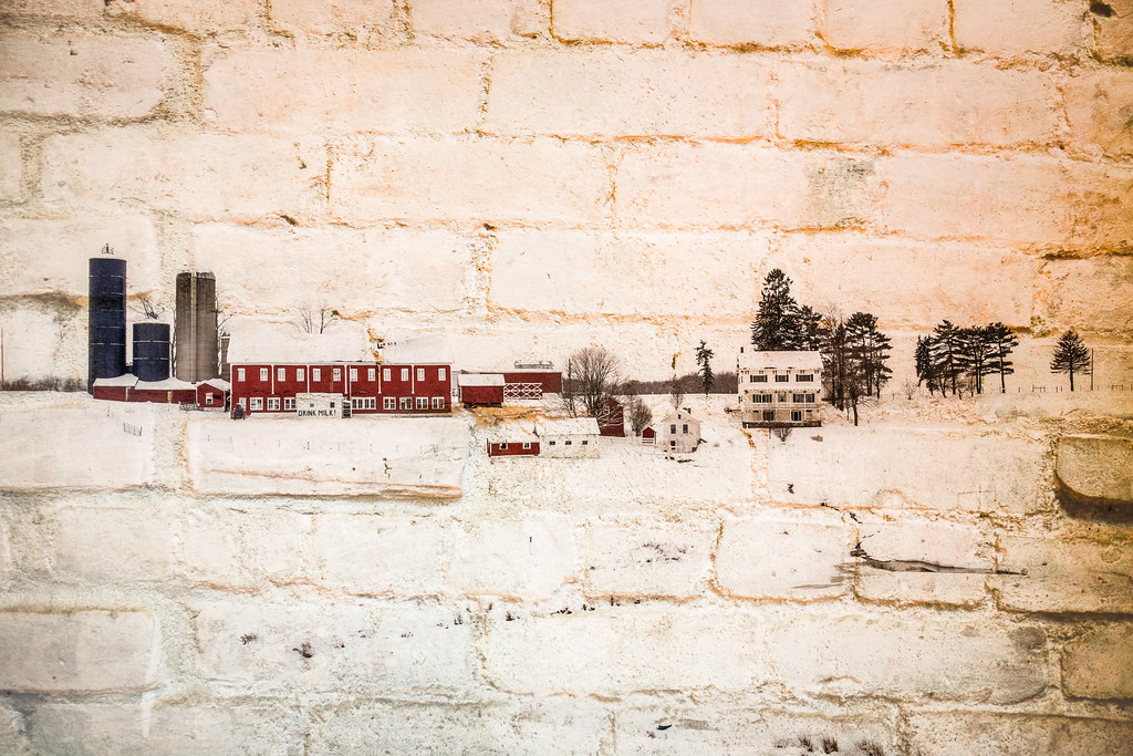
Soap Hollow Road Barn -- Somerset County, Pennsylvania
Full Wide View
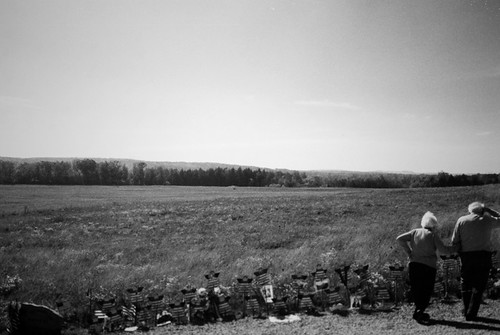
the field
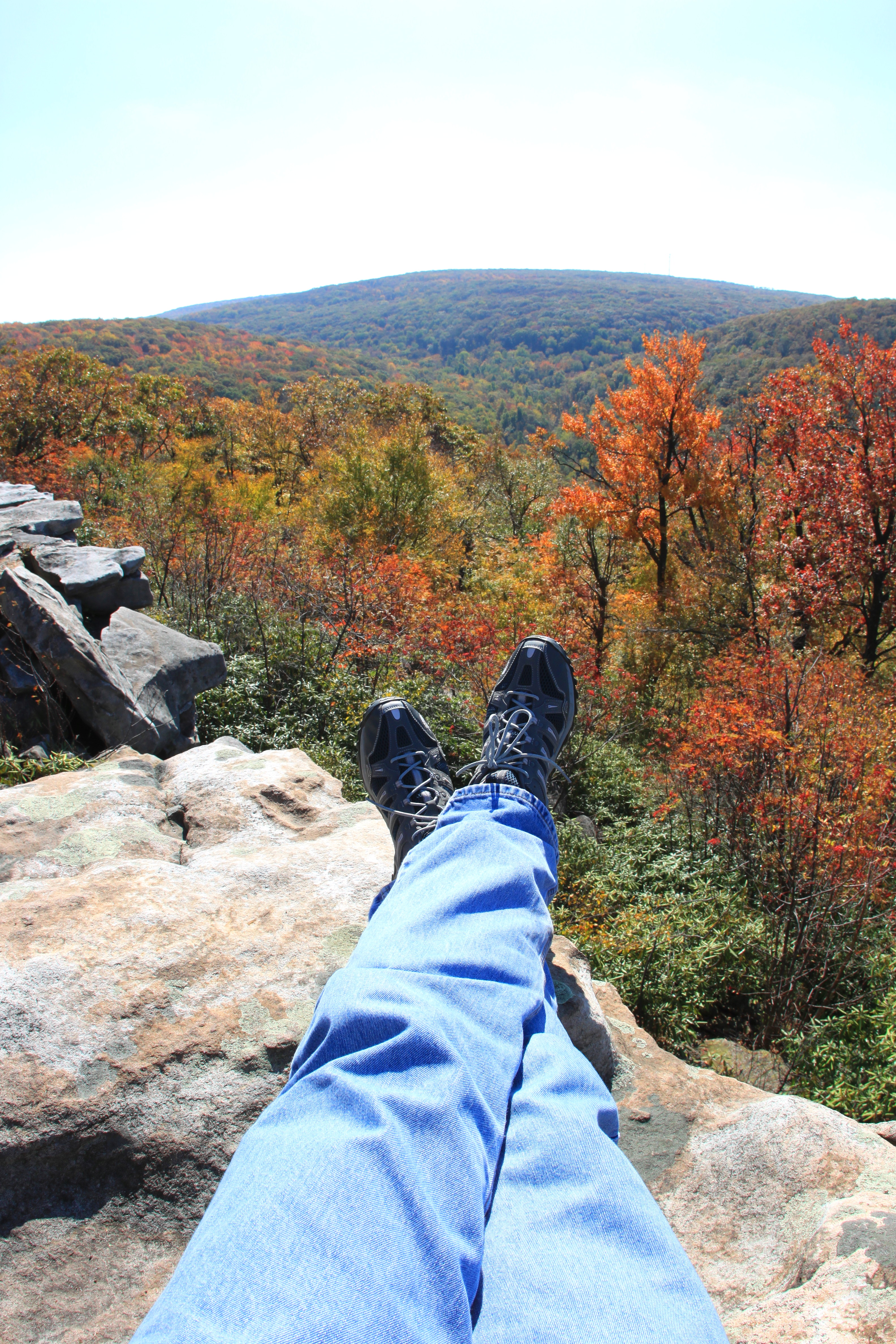
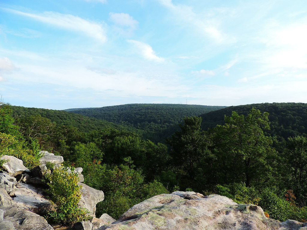
Wolf Rock Trail eye-view overlook

furry heart
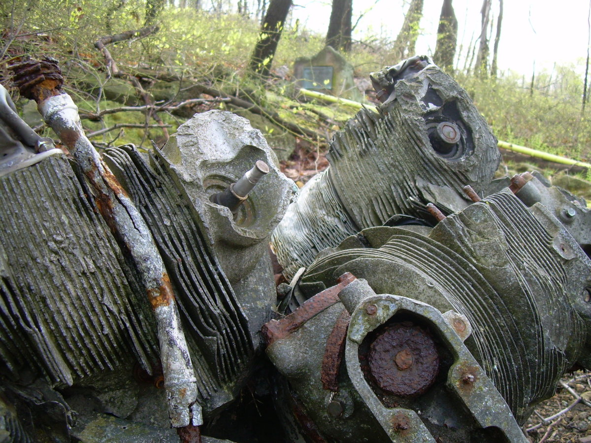
Radial cooling
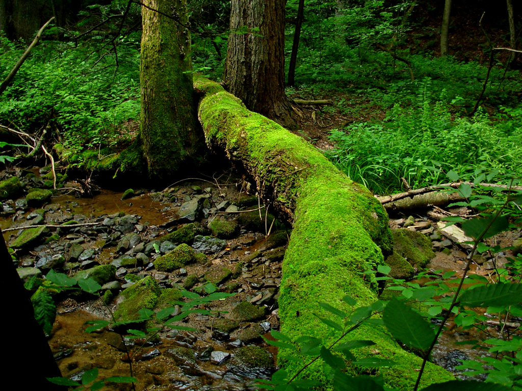
old man log

moss + friends
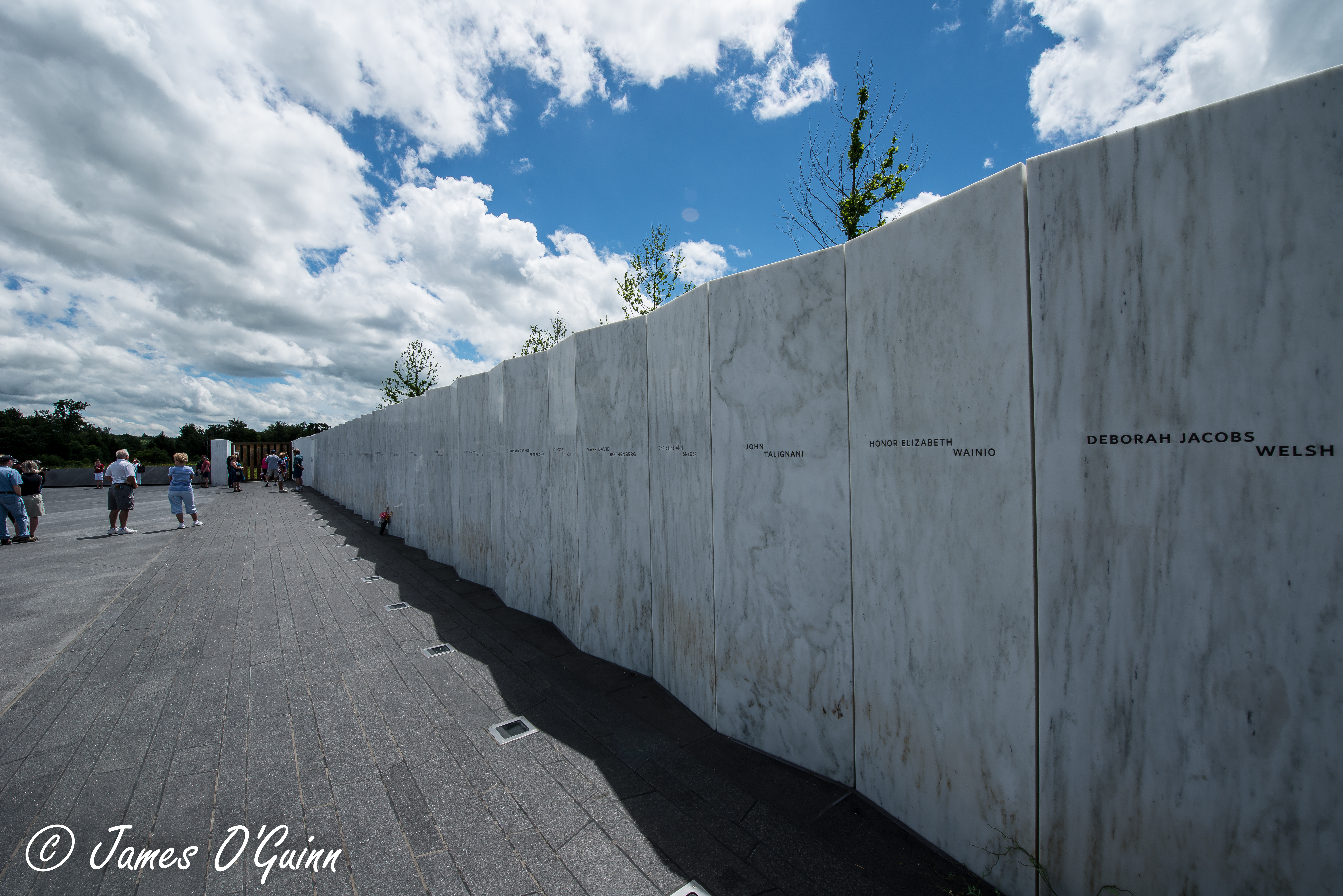
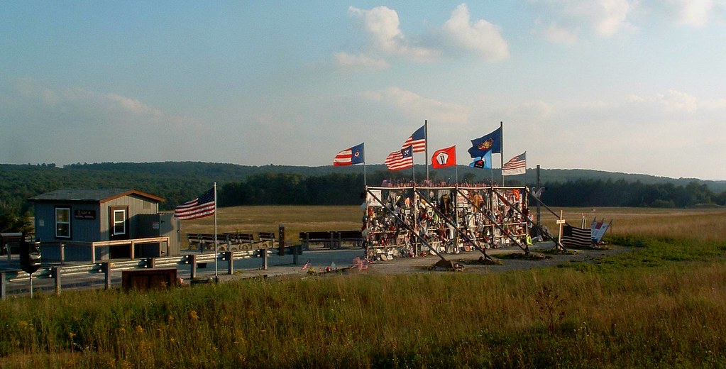
Flight 93 Memorial - Memorial Wall & Flight Path (2 of 3)

Flight 93 Memorial - Memorial Wall & Flight Path (1 of 3)
The Walk Back

Standing On the Highest Rock
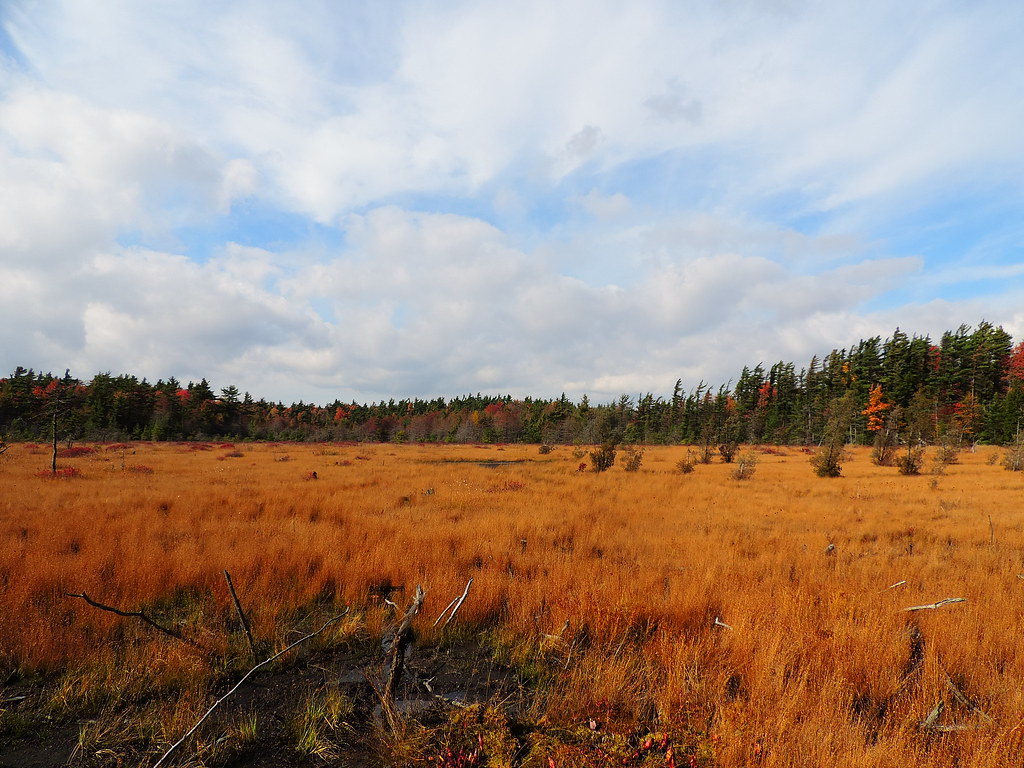
The Marshlands
_V578278-Edit.jpg
From the Highest Rock

End of summer/Labor Day Laurel Highlands nature tour.
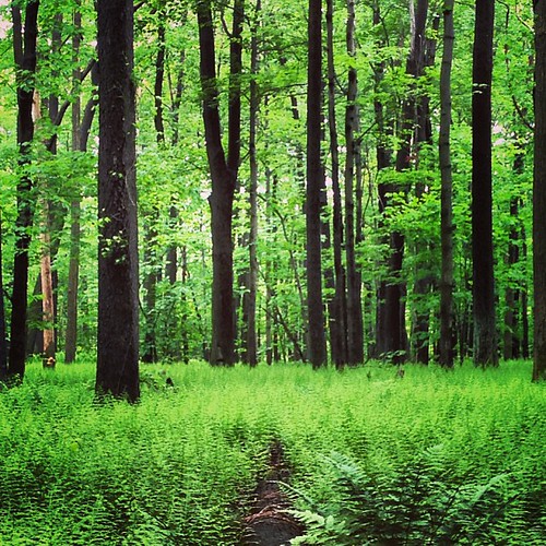
Fern frenzy
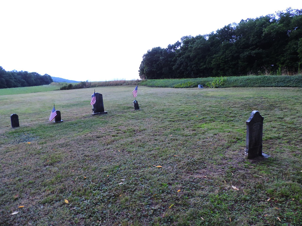
Sitting behind the foundation of the former church is this small veteran Cemetery.

Carins at Grove Run Trail
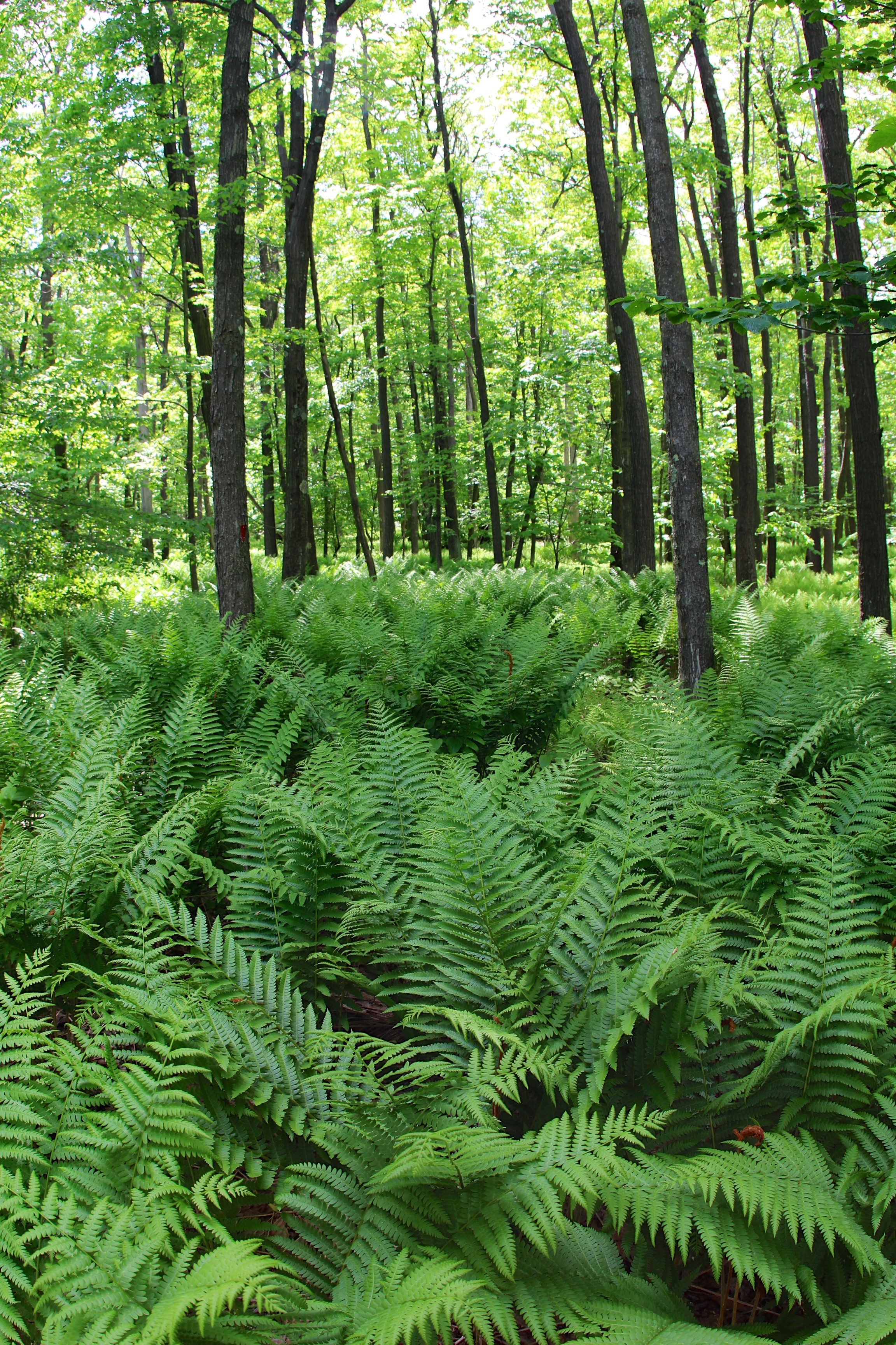
Fern forest #laurelhughlands
On the Edge
The Grave Stone

No One for Miles
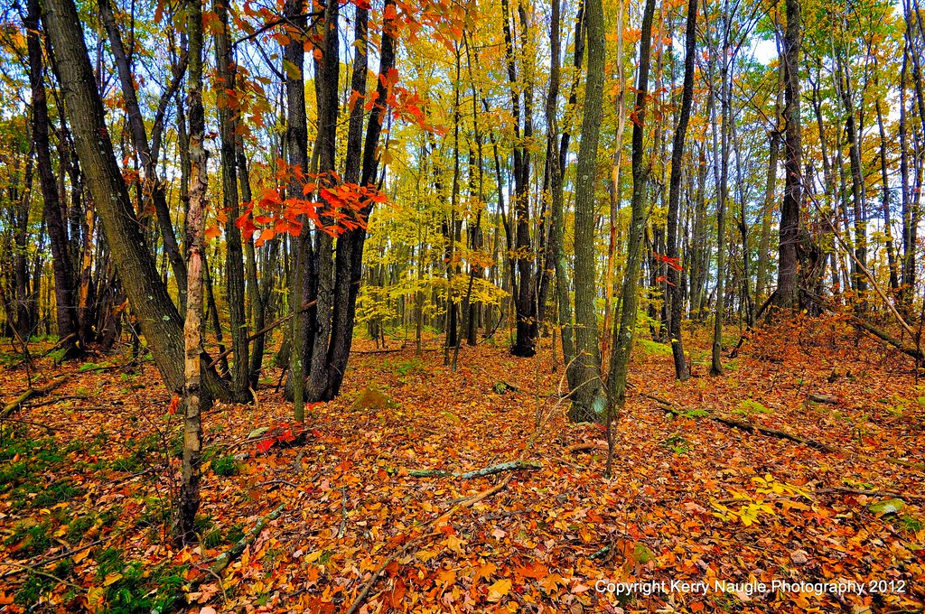
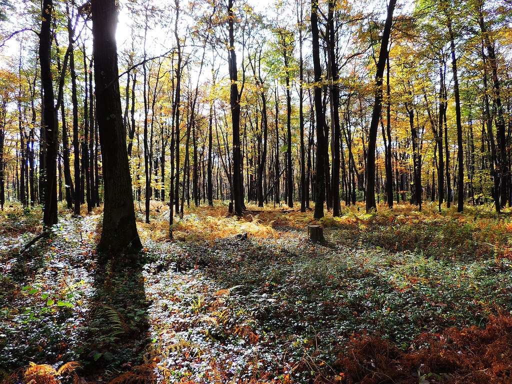
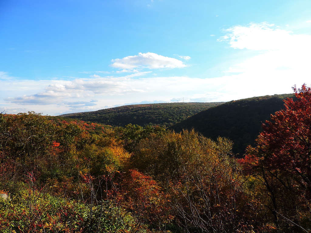
Fall leaves 2012

Flight 93 Memorial

Ben's Creek
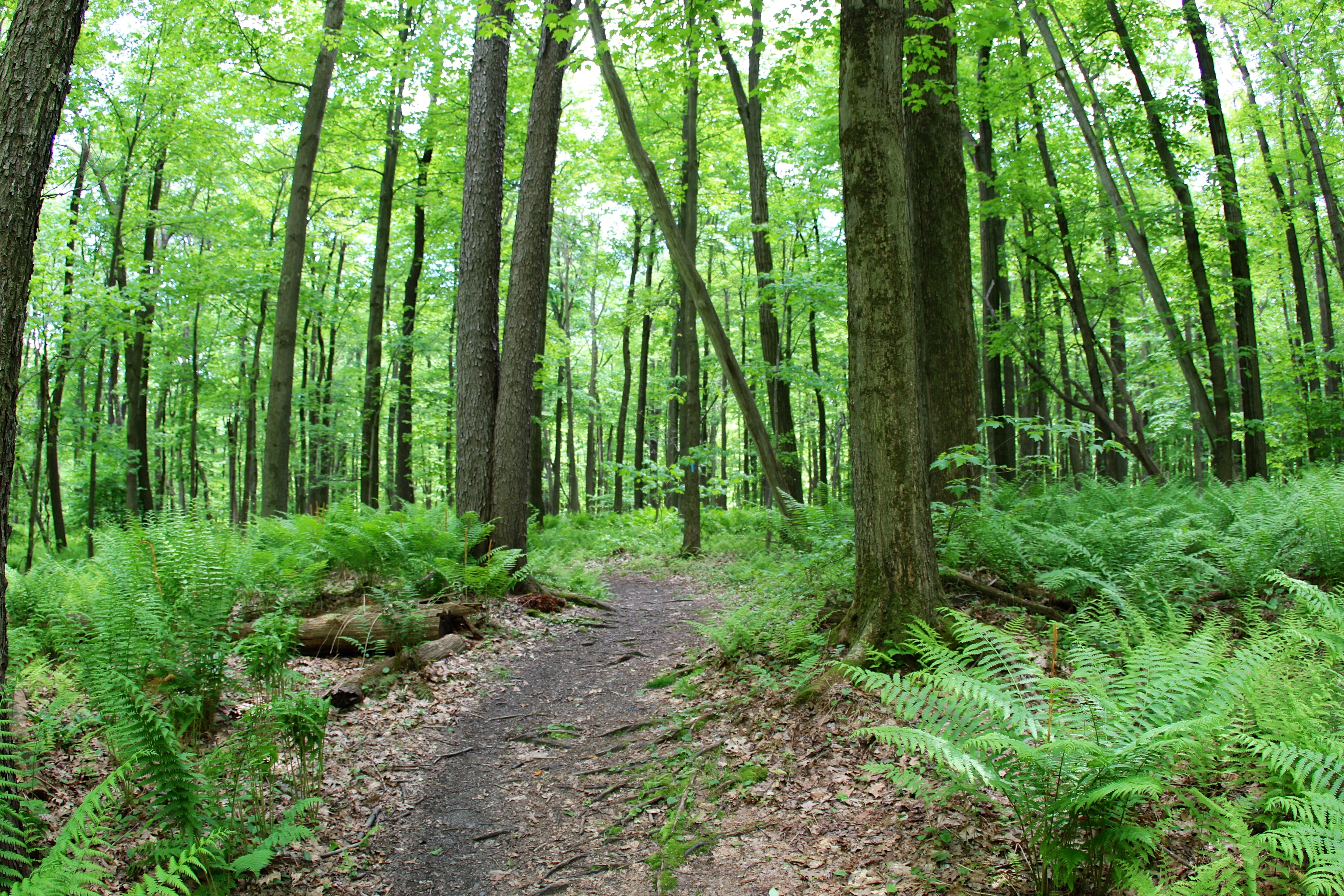
Follow the trail

peppering the ridge
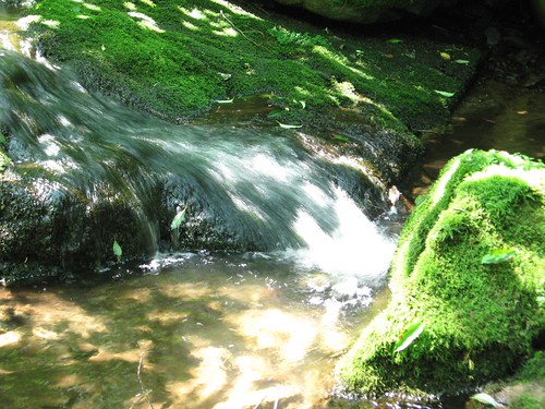
flowing water
17-IMG_5791
Topographic Map of Boswell, PA, USA
Find elevation by address:

Places near Boswell, PA, USA:
218 Atlantic St
Jenners
130 Middle St
Jenner Township
Phillips St, Jerome, PA, USA
Quemahoning Township
Stoystown
294 Dunmyer Rd
4251 Somerset Pike
Border St, Hollsopple, PA, USA
127 Annuity Ave
683 Soap Hollow Rd
114 Main St
Hollsopple
Davidsville
2941 Whistler Rd
Conemaugh Township
124 Oak St
Hooversville
146 B St
Recent Searches:
- Elevation of Corso Fratelli Cairoli, 35, Macerata MC, Italy
- Elevation of Tallevast Rd, Sarasota, FL, USA
- Elevation of 4th St E, Sonoma, CA, USA
- Elevation of Black Hollow Rd, Pennsdale, PA, USA
- Elevation of Oakland Ave, Williamsport, PA, USA
- Elevation of Pedrógão Grande, Portugal
- Elevation of Klee Dr, Martinsburg, WV, USA
- Elevation of Via Roma, Pieranica CR, Italy
- Elevation of Tavkvetili Mountain, Georgia
- Elevation of Hartfords Bluff Cir, Mt Pleasant, SC, USA