Elevation of Smoky Hollow Way, Del Rio, TN, USA
Location: United States > Tennessee > Cocke County > Del Rio >
Longitude: -83.040937
Latitude: 35.9633198
Elevation: 362m / 1188feet
Barometric Pressure: 97KPa
Elevation Map:
Satellite Map:
Related Photos:

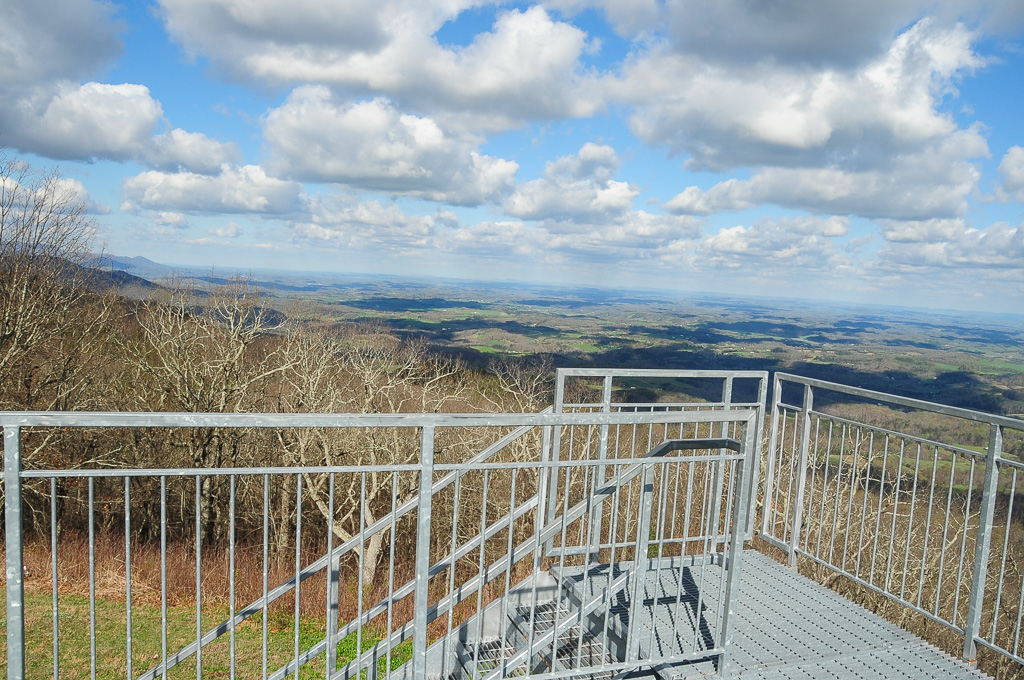
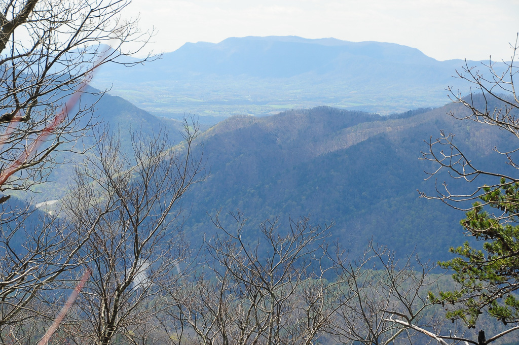
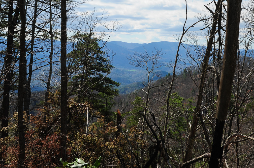
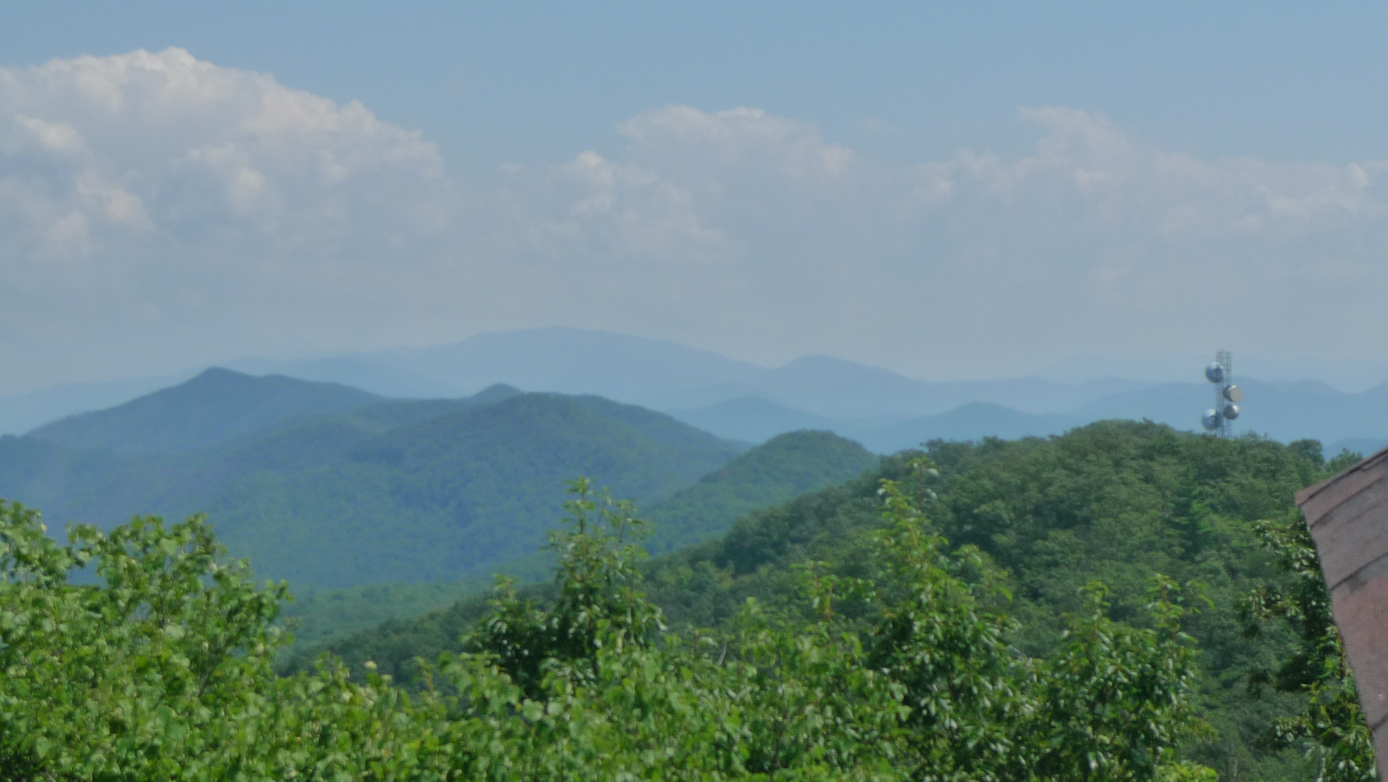
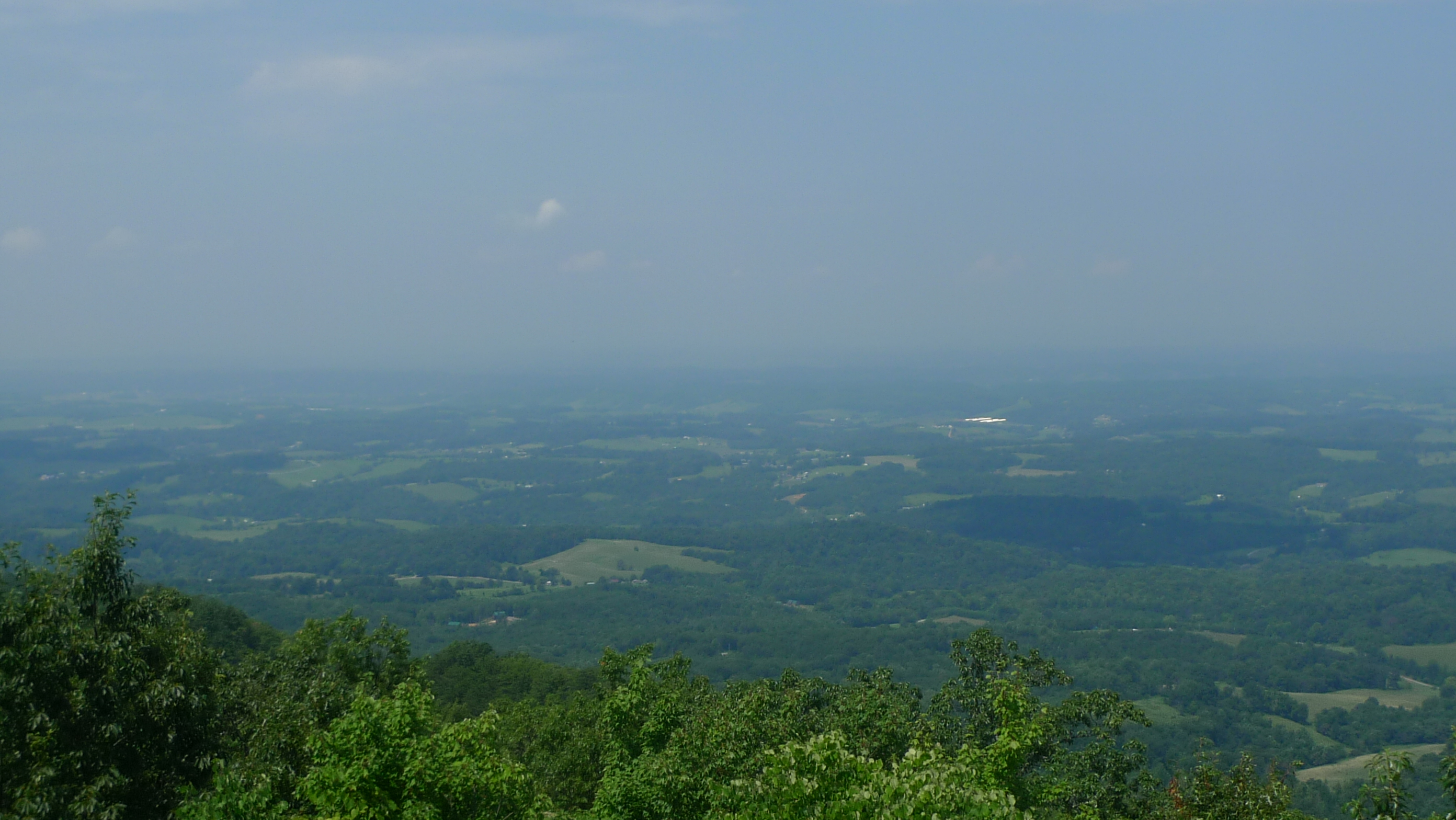
View from Meadow Creek Firetower

Houston Valley
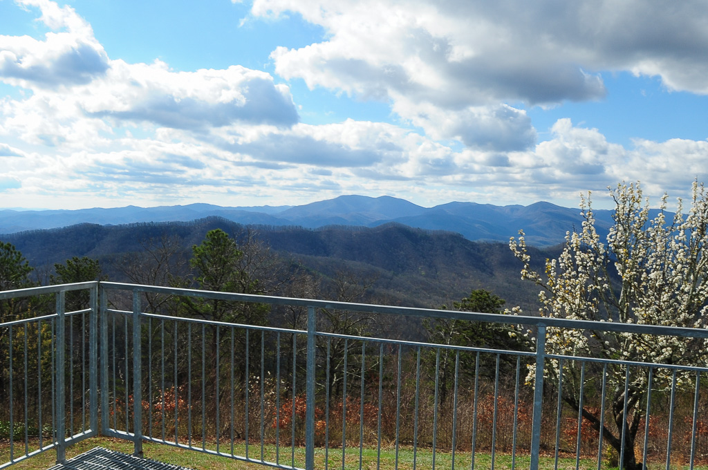
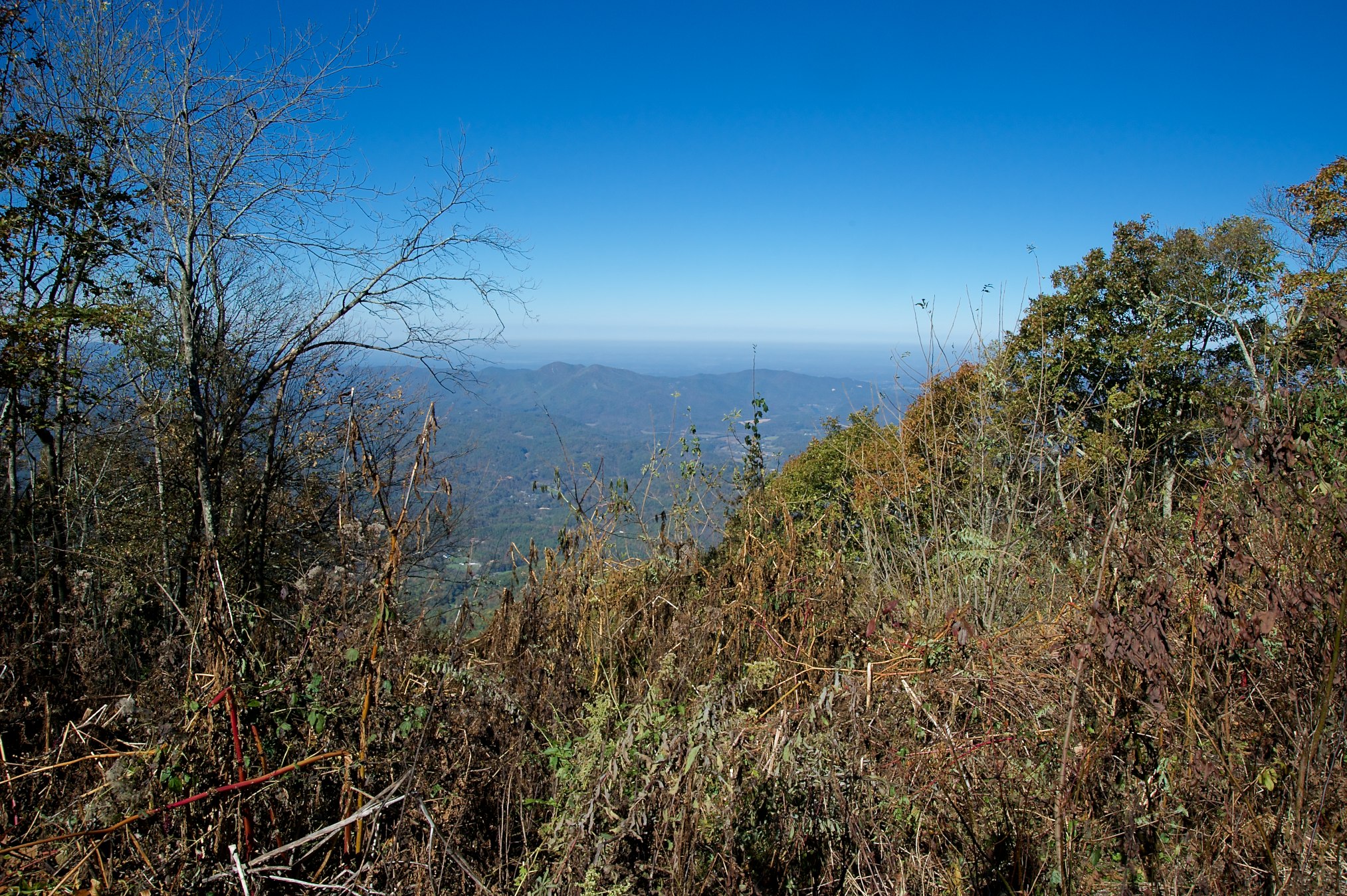
View from Meadow Creek Firetower
View from Meadow Creek Firetower
View from Meadow Creek Firetower
View of W4T/SU-073 - Cliffy Benchmark

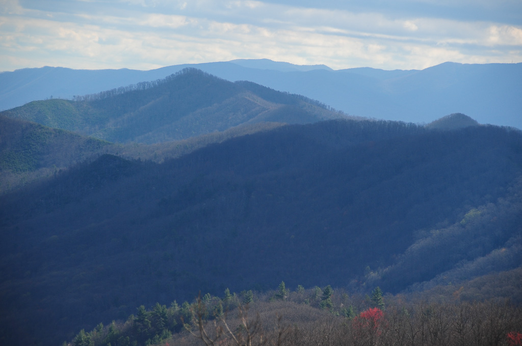
View of Cliffy Benchmark Ridgeline from Meadow Creek Firetower

W4T/SU-073 - Cliffy Benchmark View
View of W4T/SU-053 - English Mtn
View from Meadow Creek Firetower

Family Inn Sign Newport, TN 1
Trail View from W4T/SU-073 - Cliffy Benchmark

View of W4C/CM-035 - Bluff Mtn
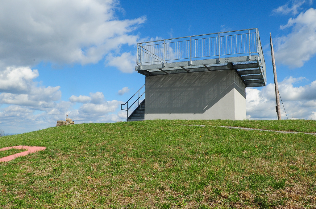
View from Meadow Creek Lookout

View from Meadow Creek Firetower
View to North from Meadow Creek Lookout

View from Meadow Creek Firetower
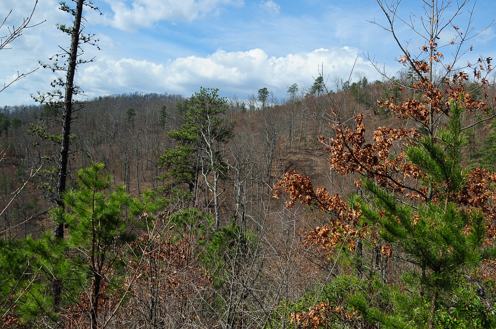
View from W4T/SU-028
View of W4T/SU-095 - Paint Mtn from Trail
View from Heaven

Rollin' Rollin' Rollin' my view from the backseat

Fence Still Working

Sun Setting On A Forgotten Homested

One Less Window

Fence Line

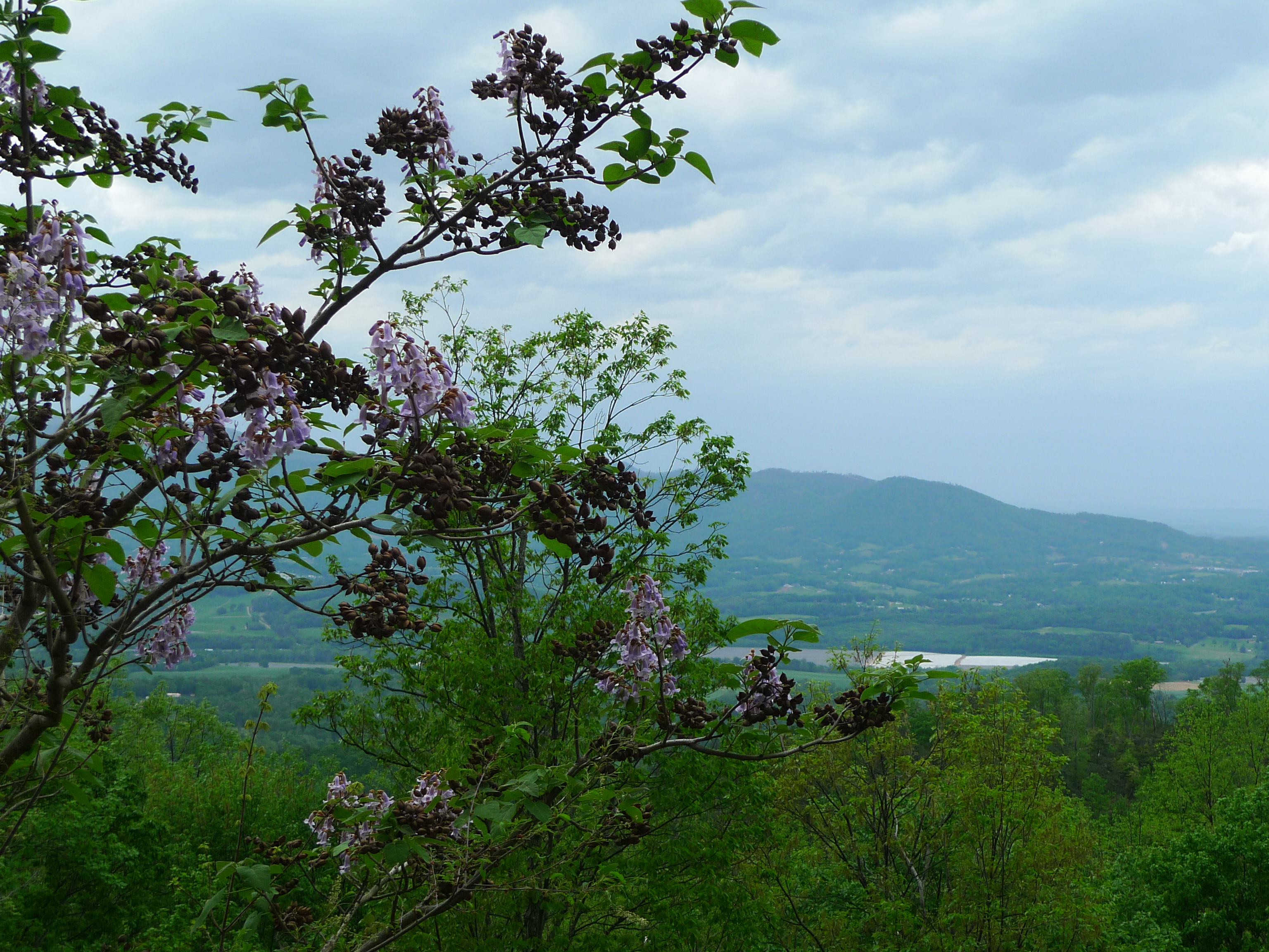
Spring Across the Valley

Pilot Knob Road
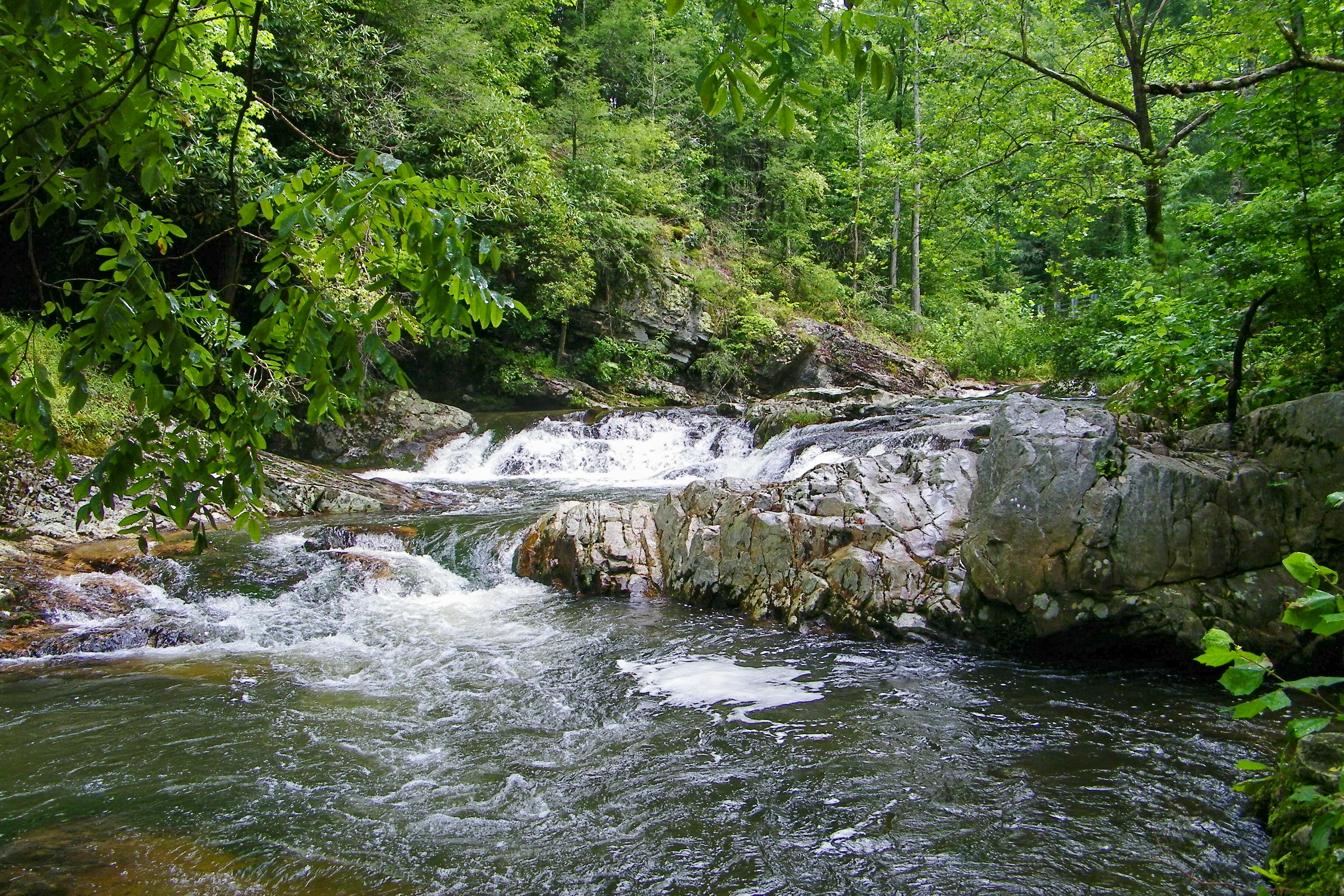
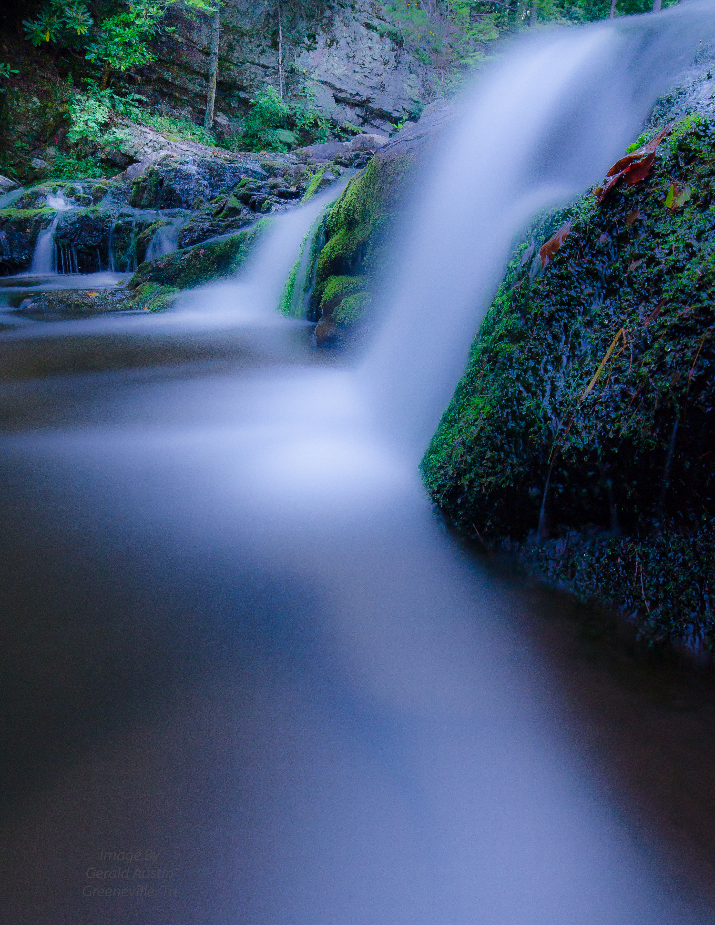
Paint Creek
Best place on the planet to camp.
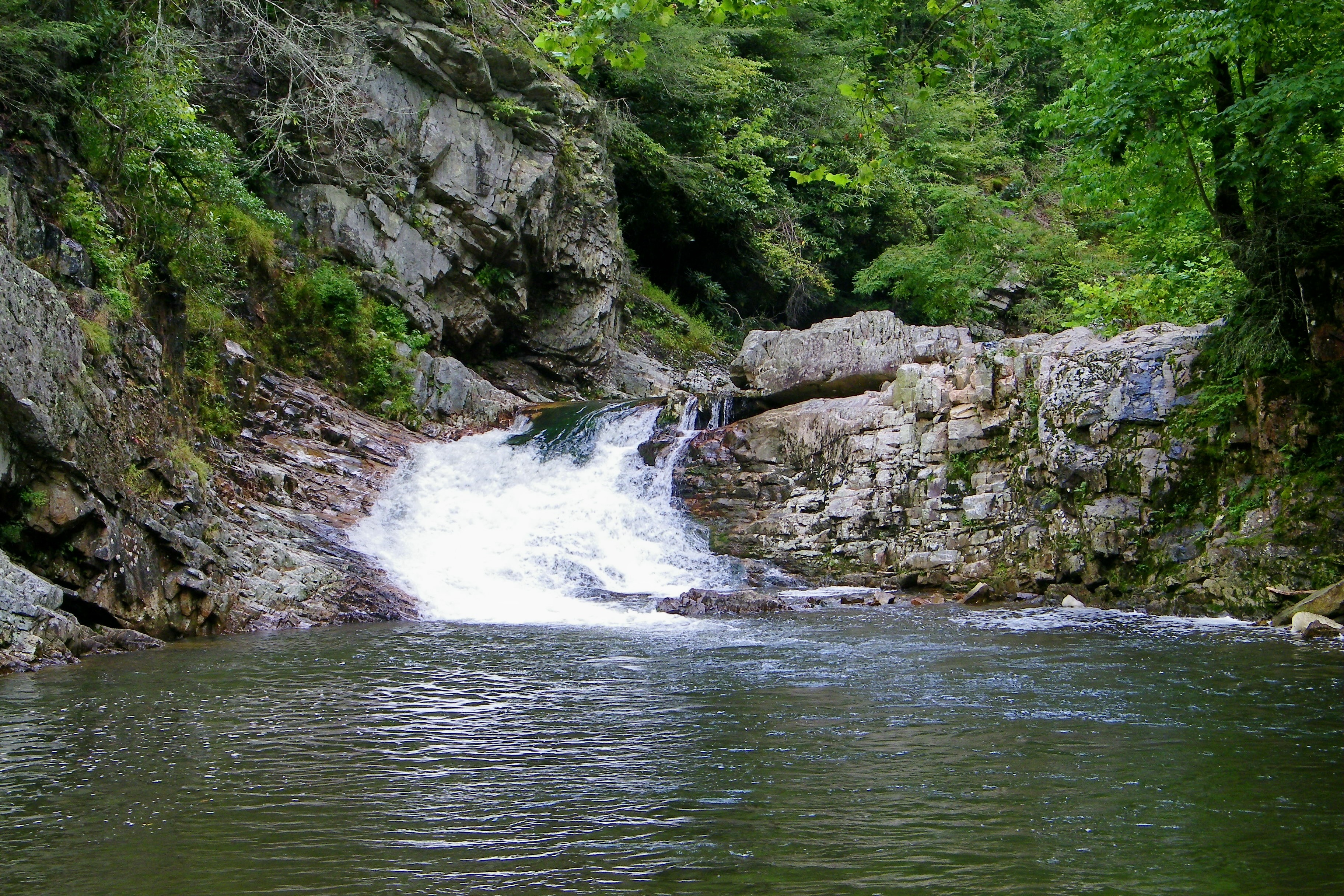
Dudley Falls

Another Farm Going Fallow

Parrottsville Country

Fall in the valley
Paint Creek under starlight
Topographic Map of Smoky Hollow Way, Del Rio, TN, USA
Find elevation by address:

Places near Smoky Hollow Way, Del Rio, TN, USA:
Honey Lane
225 Kiowa Way
5987 Hopi Trail
1116 Rocky Rd
2814 Happy Hollow Rd
2435 Freshour Hollow Rd
671 Sunlight Rd
Neddy Mountain Road
3018 Us-25
160 Summer House Hollow Rd
TN-, Del Rio, TN, USA
Del Rio
Pleasant View Way
West Myers
2315 Allen Chapel Rd
2411 Allen Chapel Rd
3712 Sane Rd
268 Tn-107
2679 Old Parrottsville Hwy
365 Catnip Rd
Recent Searches:
- Elevation of Corso Fratelli Cairoli, 35, Macerata MC, Italy
- Elevation of Tallevast Rd, Sarasota, FL, USA
- Elevation of 4th St E, Sonoma, CA, USA
- Elevation of Black Hollow Rd, Pennsdale, PA, USA
- Elevation of Oakland Ave, Williamsport, PA, USA
- Elevation of Pedrógão Grande, Portugal
- Elevation of Klee Dr, Martinsburg, WV, USA
- Elevation of Via Roma, Pieranica CR, Italy
- Elevation of Tavkvetili Mountain, Georgia
- Elevation of Hartfords Bluff Cir, Mt Pleasant, SC, USA