Elevation of Catnip Rd, Del Rio, TN, USA
Location: United States > Tennessee > Cocke County > Del Rio >
Longitude: -83.025463
Latitude: 35.909892
Elevation: 350m / 1148feet
Barometric Pressure: 97KPa
Elevation Map:
Satellite Map:
Related Photos:

Celebrating the 4th of July
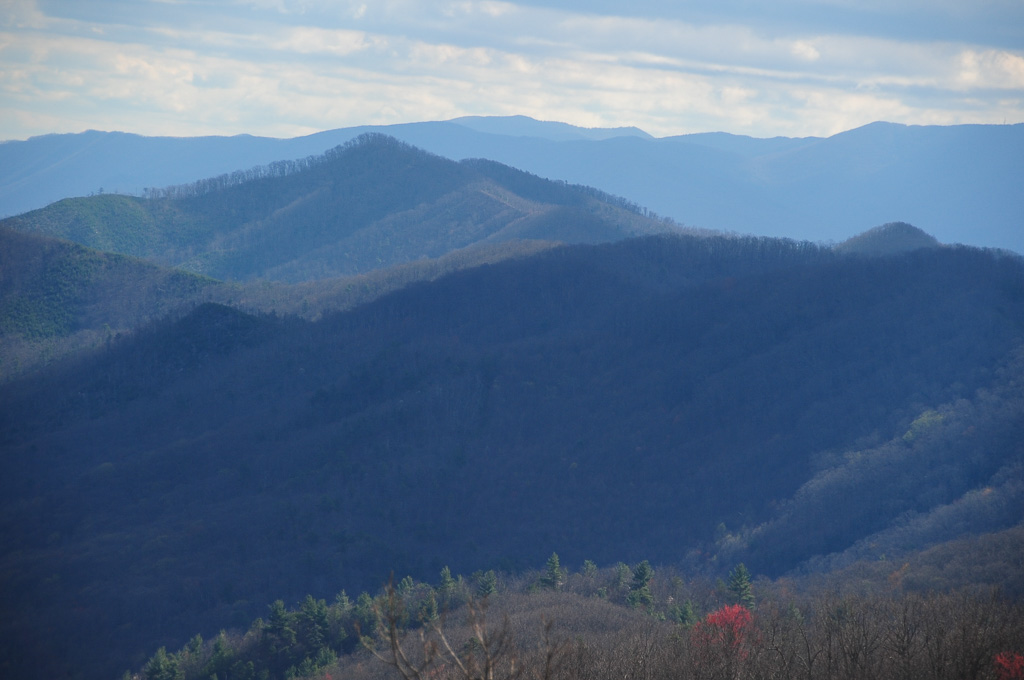
View from Max Patch

View from Max Patch

Max Patch

The Smokey Mountains

The Appalachian Trail
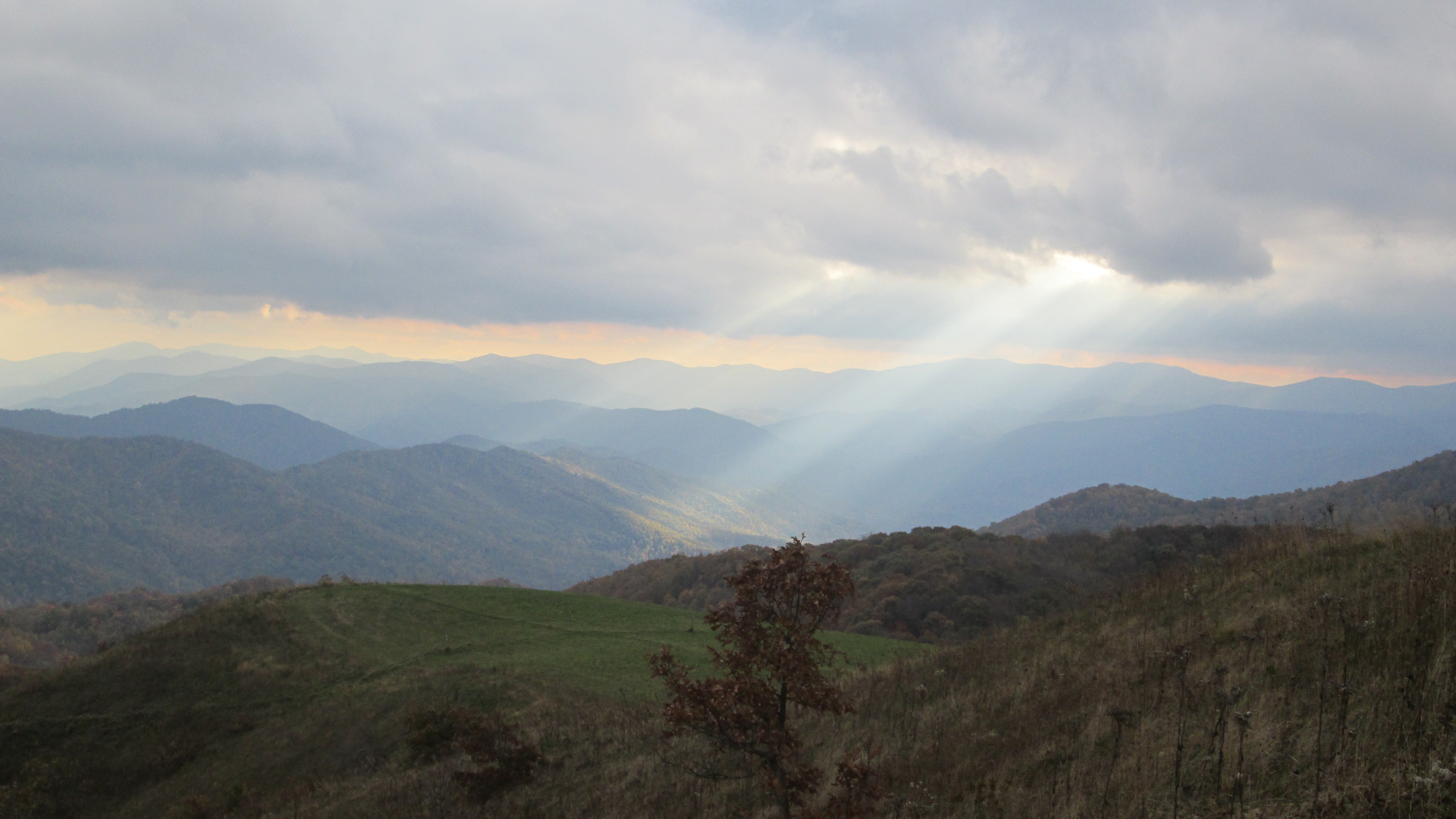
Pre-Gorge view
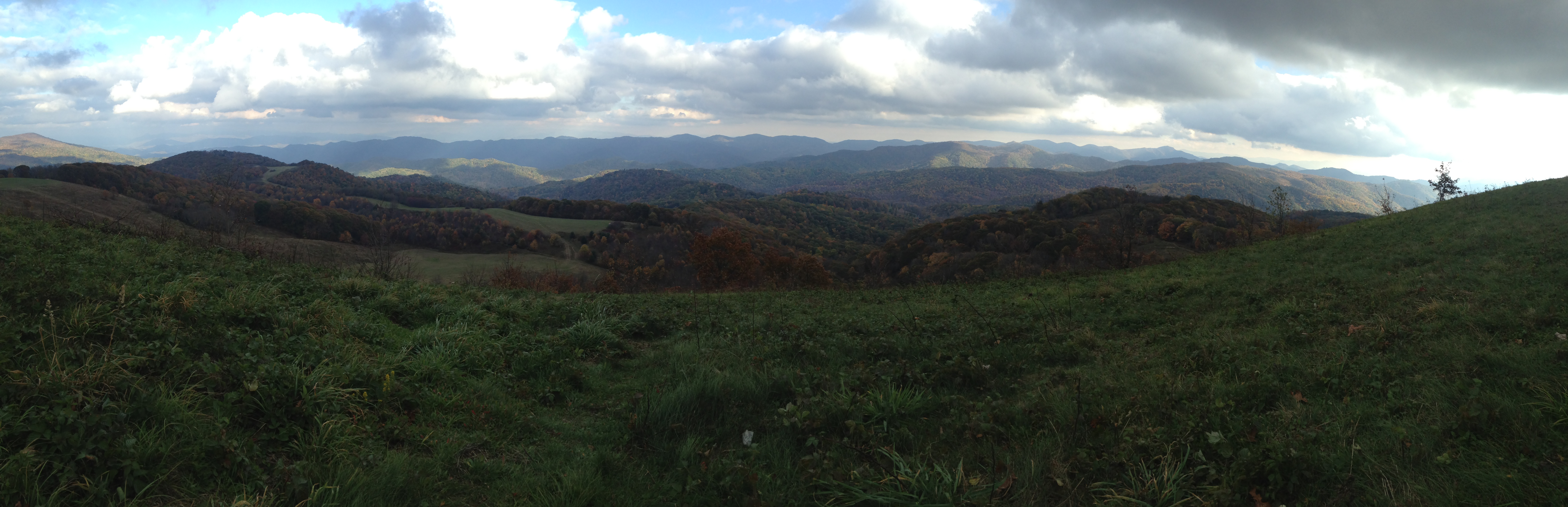
View looking north from Max Patch

View From Max Patch

Fall on Max Patch

View from Meadow Creek Firetower

max patch

Rainbows over Max Patch

View from Max Patch

View from Max Patch, looking east

Houston Valley
View from Meadow Creek Firetower
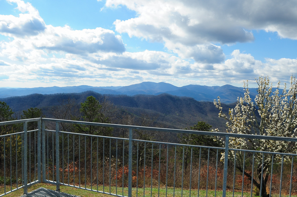
View from Meadow Creek Firetower

Max Patch - October 12, 2013-052
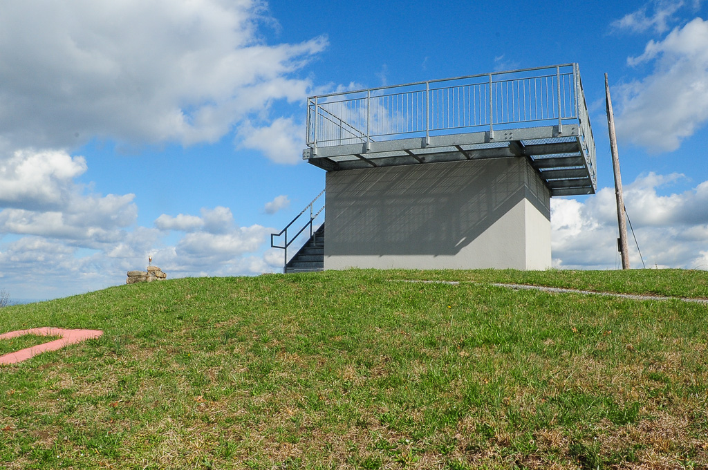
View from Meadow Creek Firetower
View of W4T/SU-073 - Cliffy Benchmark

Still a few years left in the old barn

Fence Still Working

Little Barn

One Less Window

Fence Line

Spring Across the Valley

Pilot Knob Road

Almost Dusk
Max Patch mountain
Max Patch mountain

Sun Setting On A Forgotten Homested

Path to the summit

Looking west

Snow on the north side
Topographic Map of Catnip Rd, Del Rio, TN, USA
Find elevation by address:

Places near Catnip Rd, Del Rio, TN, USA:
247 Old 15th Rd
251 Old 15th Rd
268 Tn-107
489 Tn-107
TN-, Del Rio, TN, USA
Del Rio
Del Rio, TN, USA
505 Old 15th Rd
160 Summer House Hollow Rd
550 Tn-107
3018 Us-25
314 Summer House Hollow Rd
597 Middle Fork Way
805 Punkton Rd
Punkton Road
Punkton Road
729 Messer Place Rd
765 Bellcarry Way
766 Messer Place Rd
959 Blue Mill Rd
Recent Searches:
- Elevation of Corso Fratelli Cairoli, 35, Macerata MC, Italy
- Elevation of Tallevast Rd, Sarasota, FL, USA
- Elevation of 4th St E, Sonoma, CA, USA
- Elevation of Black Hollow Rd, Pennsdale, PA, USA
- Elevation of Oakland Ave, Williamsport, PA, USA
- Elevation of Pedrógão Grande, Portugal
- Elevation of Klee Dr, Martinsburg, WV, USA
- Elevation of Via Roma, Pieranica CR, Italy
- Elevation of Tavkvetili Mountain, Georgia
- Elevation of Hartfords Bluff Cir, Mt Pleasant, SC, USA