Elevation of Messer Place Rd, Del Rio, TN, USA
Location: United States > Tennessee > Cocke County > Del Rio >
Longitude: -83.046411
Latitude: 35.8900509
Elevation: 497m / 1631feet
Barometric Pressure: 95KPa
Elevation Map:
Satellite Map:
Related Photos:

TrackHead Studios - Clouds Crawl Along
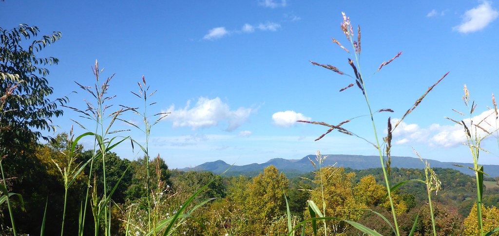
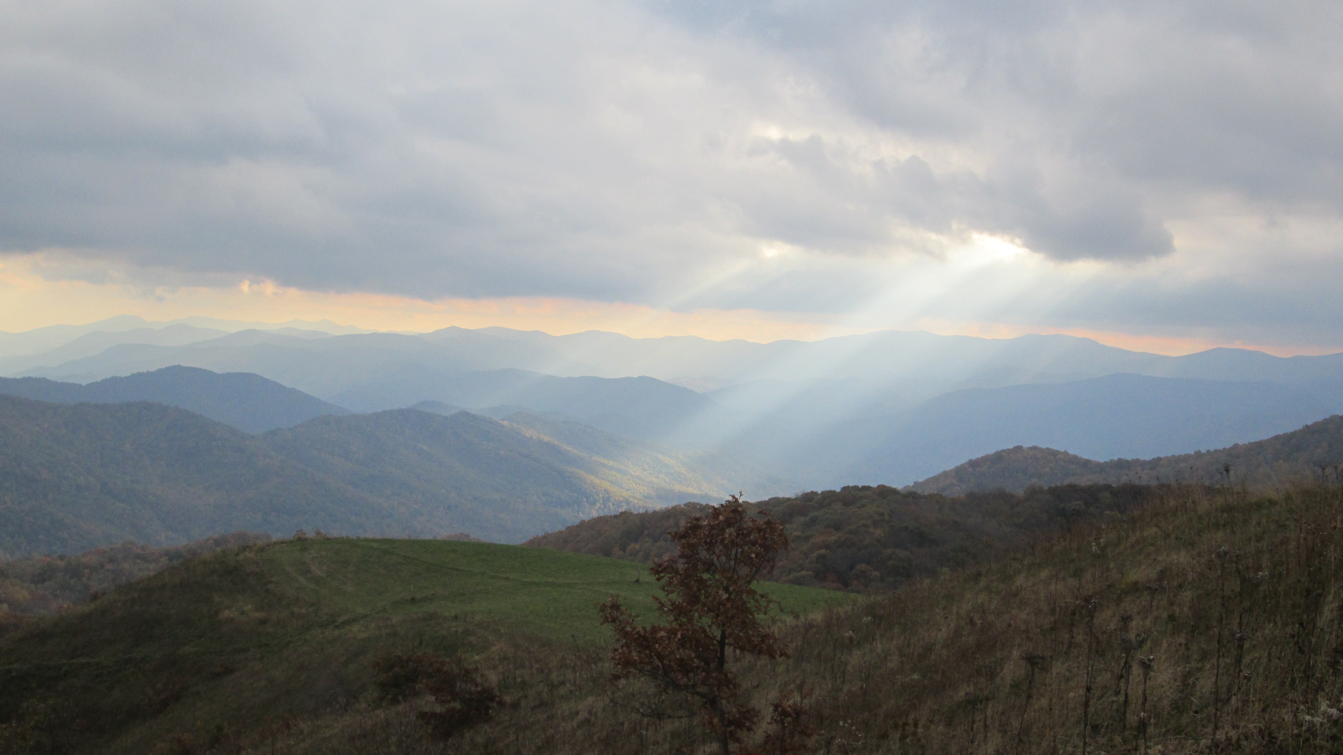
TrackHead Studios - Vista
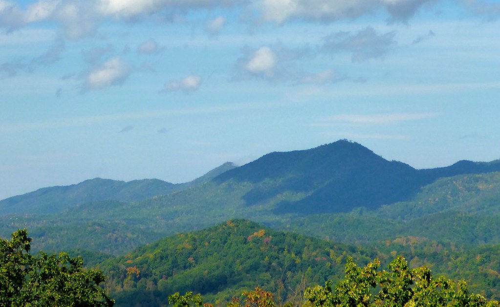
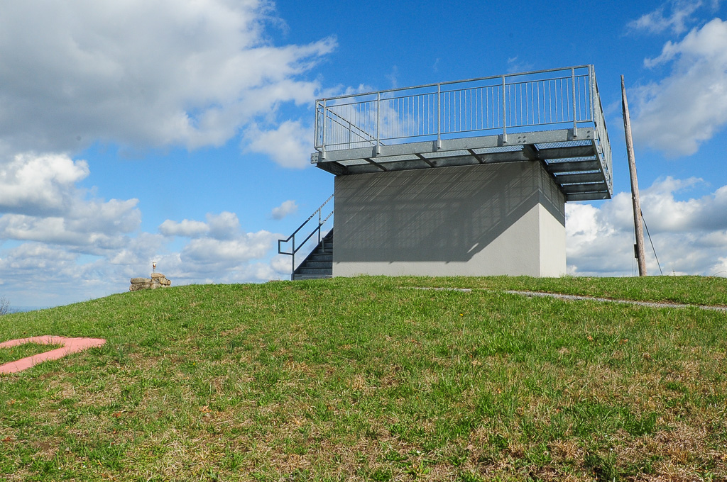
TrackHead Studios - Shady Mountain Top
TrackHead Studios - Forest Valley
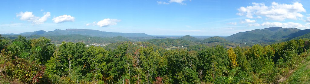
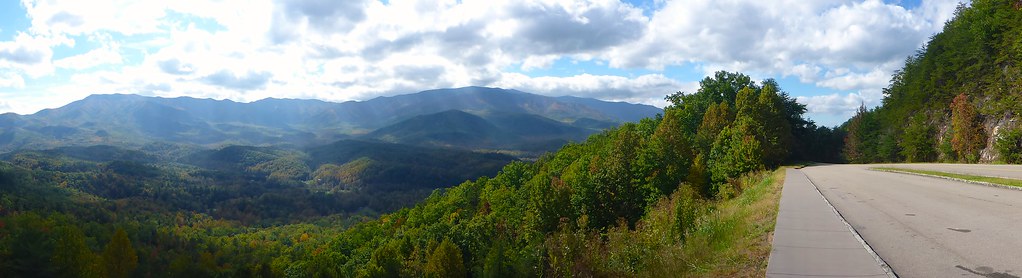
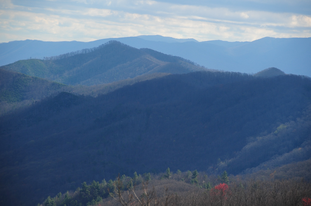
TrackHead Studios - Foothills of Smoky Mts.

Rainbows over Max Patch

View from Max Patch, looking east

View from Max Patch, looking east

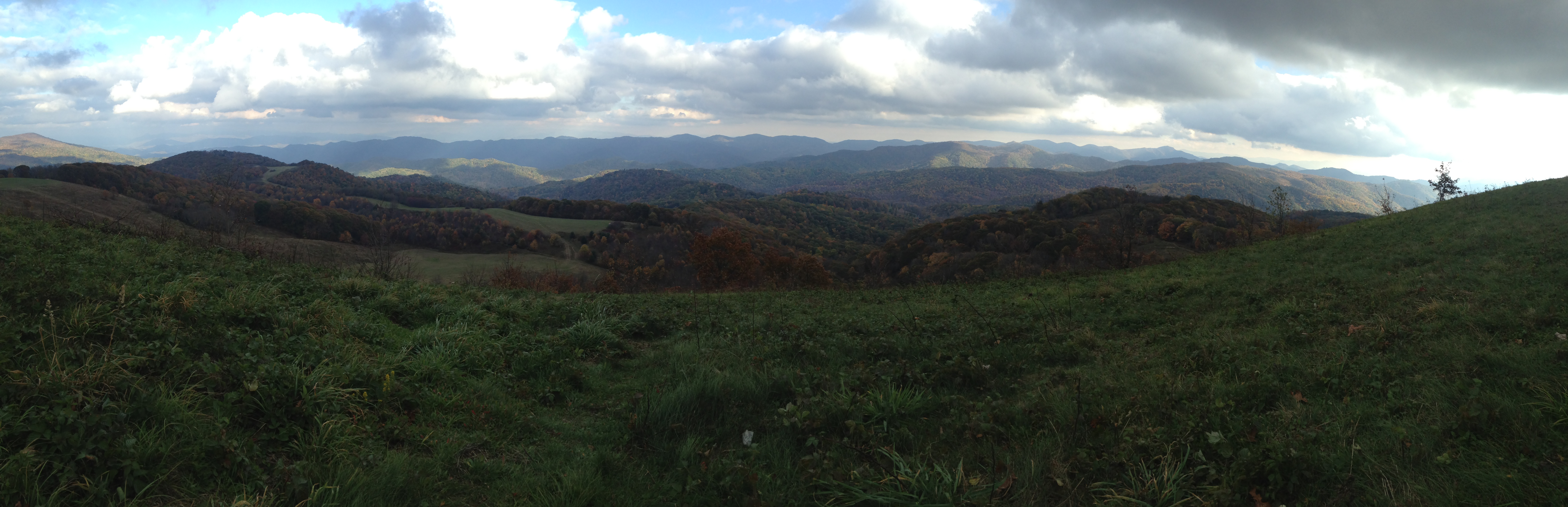
View From Max Patch
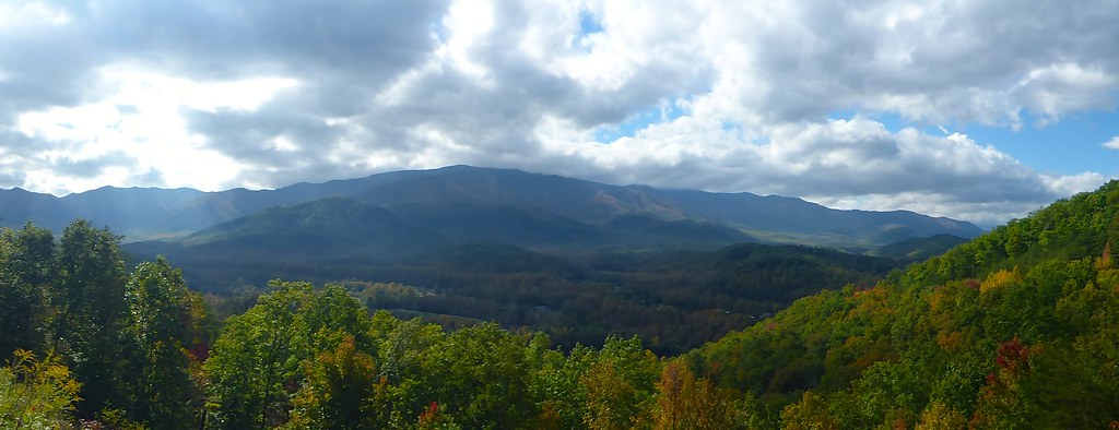
TrackHead Studios - The Scenic Route

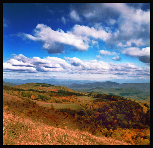
Fall on Max Patch

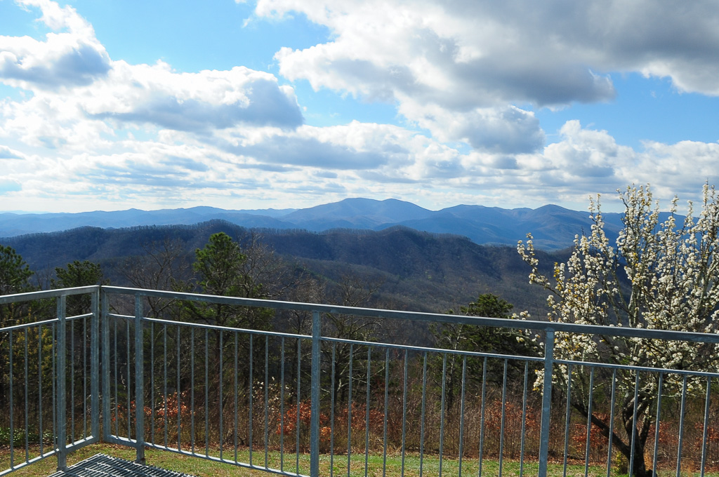
View from Meadow Creek Firetower

max patch

View from Max Patch

Houston Valley
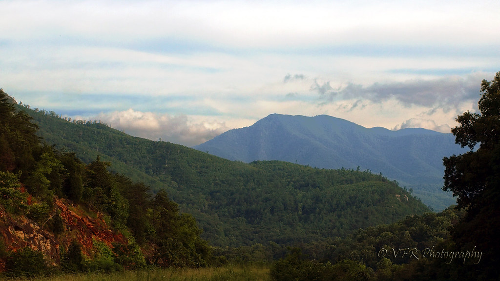
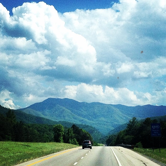
Pre-Gorge view
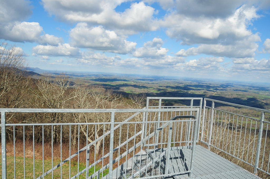
View from Meadow Creek Firetower
View from Meadow Creek Firetower
View from Meadow Creek Firetower
View of W4T/SU-073 - Cliffy Benchmark
Gorgeous views.
Yesterday #clouds #cloudformations #sky
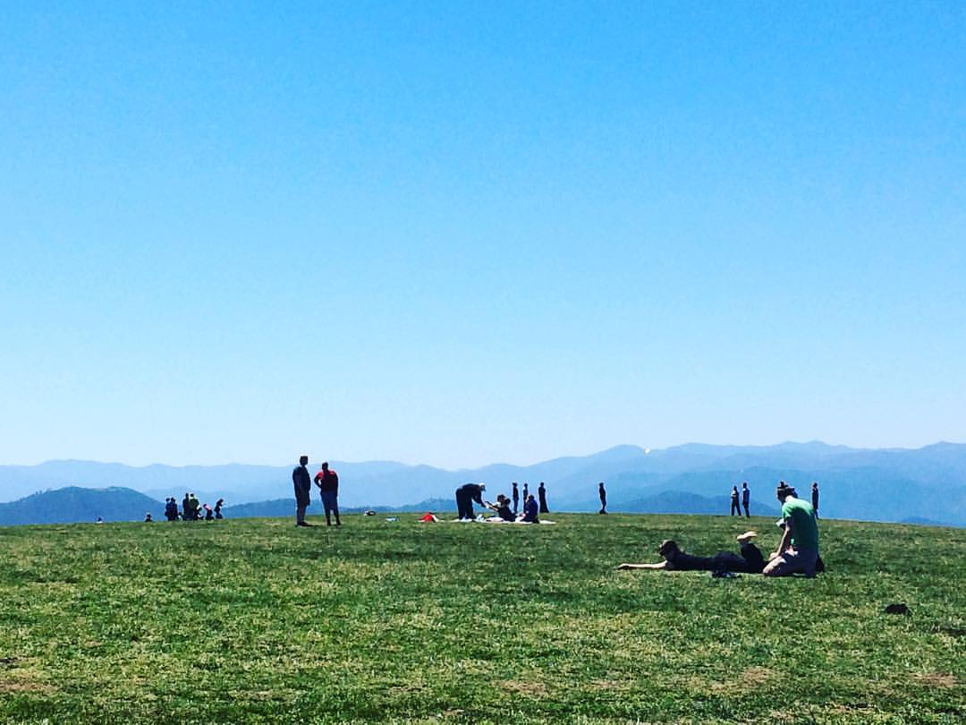
Max Patch mountain
Max Patch mountain

Path to the summit

Step into Nature

Looking west

Snow on the north side
max patch

Smoky Mountains Streams
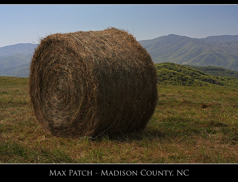
Max Patch

JFRM-2017-04-6899-Pano.jpg

Standing on top of #maxpatch , the bald #mountain. Beautiful #sunset behind #clouds
Topographic Map of Messer Place Rd, Del Rio, TN, USA
Find elevation by address:

Places near Messer Place Rd, Del Rio, TN, USA:
766 Messer Place Rd
597 Middle Fork Way
1110 Our Way
Punkton Road
Punkton Road
805 Punkton Rd
505 Old 15th Rd
Lost My Way
Piney Grove Baptist Church
251 Old 15th Rd
247 Old 15th Rd
Punkton Rd, Del Rio, TN, USA
365 Catnip Rd
540 Crane Way
489 Tn-107
5298 Yates Rd
978 Corey Way
550 Tn-107
765 Bellcarry Way
268 Tn-107
Recent Searches:
- Elevation of Corso Fratelli Cairoli, 35, Macerata MC, Italy
- Elevation of Tallevast Rd, Sarasota, FL, USA
- Elevation of 4th St E, Sonoma, CA, USA
- Elevation of Black Hollow Rd, Pennsdale, PA, USA
- Elevation of Oakland Ave, Williamsport, PA, USA
- Elevation of Pedrógão Grande, Portugal
- Elevation of Klee Dr, Martinsburg, WV, USA
- Elevation of Via Roma, Pieranica CR, Italy
- Elevation of Tavkvetili Mountain, Georgia
- Elevation of Hartfords Bluff Cir, Mt Pleasant, SC, USA