Elevation of Smoker Peak, Central Coast A, BC V0N, Canada
Location: Canada > British Columbia >
Longitude: -127.18833
Latitude: 51.4913888
Elevation: 1547m / 5075feet
Barometric Pressure: 84KPa
Elevation Map:
Satellite Map:
Related Photos:
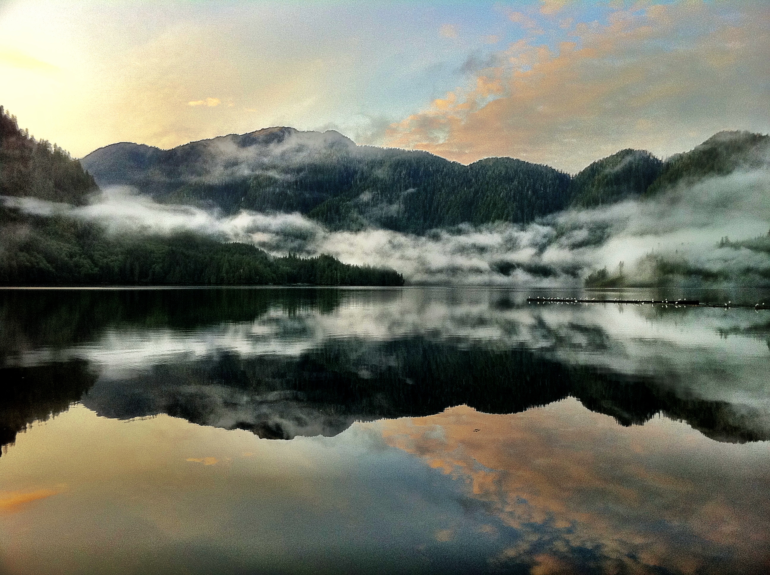
What a view! Its going to be a lovely day in our BC valley.
Topographic Map of Smoker Peak, Central Coast A, BC V0N, Canada
Find elevation by address:

Places near Smoker Peak, Central Coast A, BC V0N, Canada:
Marble Cr
Mount Manzo Nagano
Central Coast
Neechantz Peak
Mount Kendall
Heard Island
7460 Eagle Crescent
7640 Eagle Crescent
7640 Eagle Crescent
7640 Eagle Crescent
7640 Eagle Crescent
7640 Eagle Crescent
7640 Eagle Crescent
7640 Eagle Crescent
7640 Eagle Crescent
7640 Eagle Crescent
Port Hardy
7450 Rupert St
Main Street
7205 Market St
Recent Searches:
- Elevation of Corso Fratelli Cairoli, 35, Macerata MC, Italy
- Elevation of Tallevast Rd, Sarasota, FL, USA
- Elevation of 4th St E, Sonoma, CA, USA
- Elevation of Black Hollow Rd, Pennsdale, PA, USA
- Elevation of Oakland Ave, Williamsport, PA, USA
- Elevation of Pedrógão Grande, Portugal
- Elevation of Klee Dr, Martinsburg, WV, USA
- Elevation of Via Roma, Pieranica CR, Italy
- Elevation of Tavkvetili Mountain, Georgia
- Elevation of Hartfords Bluff Cir, Mt Pleasant, SC, USA