Elevation of Marble Cr, Central Coast A, BC V0N, Canada
Location: Canada > British Columbia >
Longitude: -126.8325
Latitude: 51.5561111
Elevation: 1786m / 5860feet
Barometric Pressure: 82KPa
Elevation Map:
Satellite Map:
Related Photos:
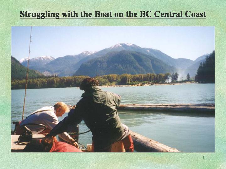
Slide14
Topographic Map of Marble Cr, Central Coast A, BC V0N, Canada
Find elevation by address:

Places near Marble Cr, Central Coast A, BC V0N, Canada:
Mount Manzo Nagano
Neechantz Peak
Mount Kendall
Smoker Peak
Central Coast
Baker Island
Heard Island
Port Hardy
6264 Jensen Cove Rd
6264 Jensen Cove Rd
6264 Jensen Cove Rd
6264 Jensen Cove Rd
6264 Jensen Cove Rd
6264 Jensen Cove Rd
6264 Jensen Cove Rd
7450 Rupert St
7205 Market St
Wildwoods Campsite
7640 Eagle Crescent
7640 Eagle Crescent
Recent Searches:
- Elevation of Corso Fratelli Cairoli, 35, Macerata MC, Italy
- Elevation of Tallevast Rd, Sarasota, FL, USA
- Elevation of 4th St E, Sonoma, CA, USA
- Elevation of Black Hollow Rd, Pennsdale, PA, USA
- Elevation of Oakland Ave, Williamsport, PA, USA
- Elevation of Pedrógão Grande, Portugal
- Elevation of Klee Dr, Martinsburg, WV, USA
- Elevation of Via Roma, Pieranica CR, Italy
- Elevation of Tavkvetili Mountain, Georgia
- Elevation of Hartfords Bluff Cir, Mt Pleasant, SC, USA