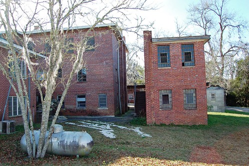
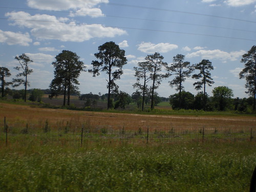
Elevation of Smokehouse Farms Drive, Smokehouse Farms Dr, Greenville, FL, USA
Location: United States > Florida > Madison County > Greenville >
Longitude: -83.716664
Latitude: 30.5738694
Elevation: 32m / 105feet
Barometric Pressure: 101KPa
Related Photos:
Topographic Map of Smokehouse Farms Drive, Smokehouse Farms Dr, Greenville, FL, USA
Find elevation by address:

Places near Smokehouse Farms Drive, Smokehouse Farms Dr, Greenville, FL, USA:
178 E 10th Way
2461 Honey Lake Rd
Blue Lake Road
Thomas, Monticello, FL, USA
Turney Anderson Road
952 Turney Anderson Rd
960 E Pearl St
114 Parkway Pines
Monticello
Full Moon Farm
635 W Washington St
23 W Bryant Ct, Monticello, FL, USA
Waukeenah Hwy, Monticello, FL, USA
S Jefferson St, Tallahassee, FL, USA
Old Lloyd Rd, Monticello, FL, USA
S Jefferson, Lamont, FL, USA
Jefferson County
50 Wild Turkey Run
5285 Old Lloyd Rd
1232 Wild Turkey Run
Recent Searches:
- Elevation of Corso Fratelli Cairoli, 35, Macerata MC, Italy
- Elevation of Tallevast Rd, Sarasota, FL, USA
- Elevation of 4th St E, Sonoma, CA, USA
- Elevation of Black Hollow Rd, Pennsdale, PA, USA
- Elevation of Oakland Ave, Williamsport, PA, USA
- Elevation of Pedrógão Grande, Portugal
- Elevation of Klee Dr, Martinsburg, WV, USA
- Elevation of Via Roma, Pieranica CR, Italy
- Elevation of Tavkvetili Mountain, Georgia
- Elevation of Hartfords Bluff Cir, Mt Pleasant, SC, USA


