Elevation of Smiths Fish Camp Rd, Pensacola, FL, USA

Location: United States > Florida > Escambia County > Pensacola > Northeast Pensacola >

Longitude: -87.195285

Latitude: 30.5453948

Elevation: 6m / 20feet

Barometric Pressure: 101KPa

Elevation Map:

elevation map of Smiths Fish Camp Rd, Pensacola, FL, USA

Satellite Map:

Satellite map of Smiths Fish Camp Rd, Pensacola, FL, USA

Related Photos:

new travel nature square landscape florida pov perspective explore squareformat crema pensacola iphone featured 2015 iphoneography iphoneographer instagramapp
A point to tread
nikon d7500
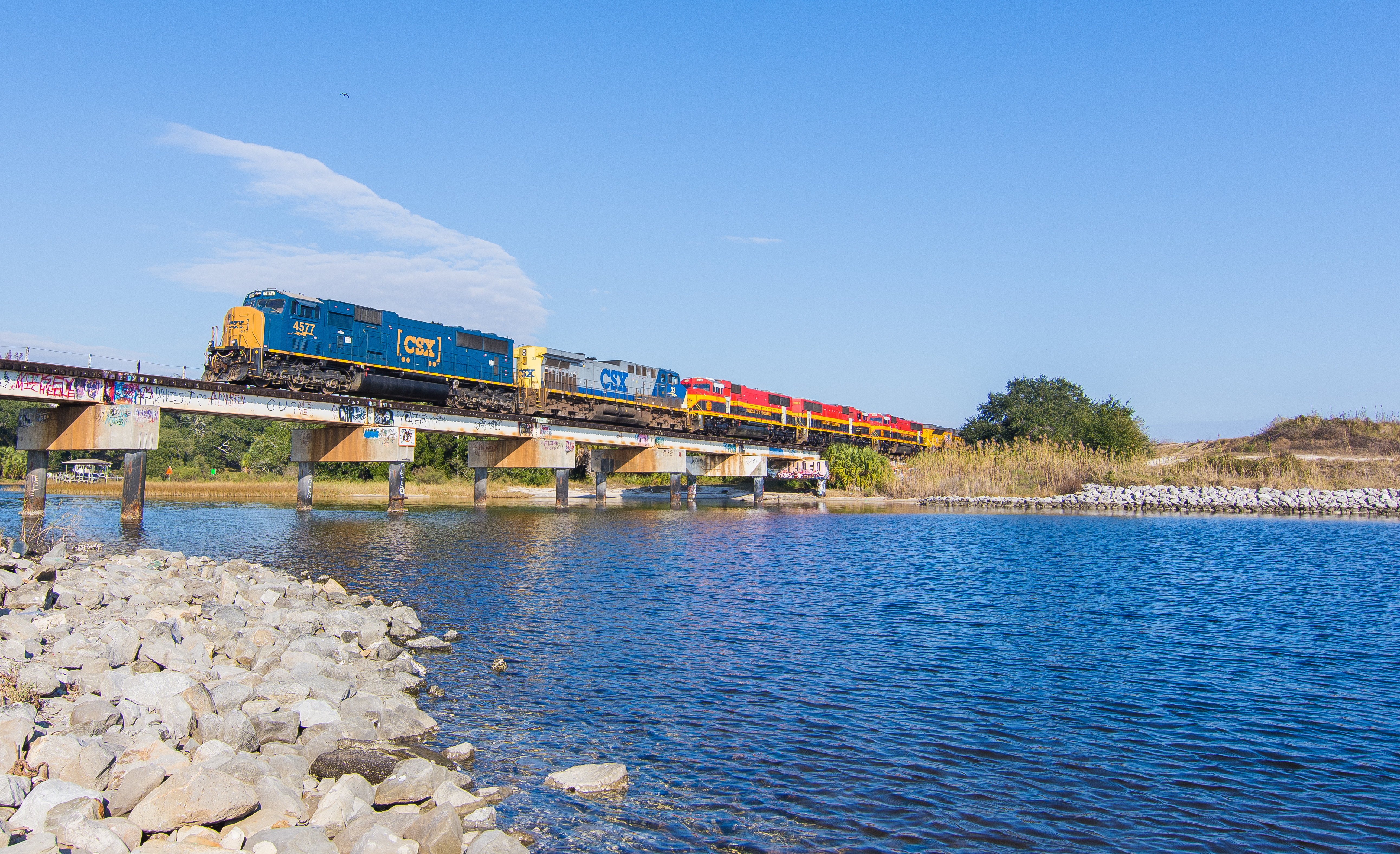
M705, Bayou Texar, Pensacola, Florida.
Somewhere out in the boonies
stmichaelscemetery pensacola florida escambia 1807 panhandle alcaniz spain cemetery graveyard buryingground catholic palmtrees landscape scenery ccby creativecommonsattribution raschau downtown downtownpensacola historicdistrict 1781 spanish tropical 1559 seville sevillehistoricdistrict creativecommons ccccby attribution ccphotosearch wikimediacommons
St. Michael's Cemetery, Pensacola
sunrise pensacola pensacolabay
Front Row Seat
abstractreality rural verticalpictures cellphonephotography trees nature landscape interestingness whereigo randomworld explore gettyimages lonelyplanet nationalgeographic october warrington pensacola themailman perspective constantcreations iphoneographer iphoneography
Route 506
blue sunset sky cloud water bay florida fl pensacola
Pensacola, FL
sunrise bay pensacola
Pensacola Florida_0001
nikon d7500
Saltwater Sunset
nikon d7200
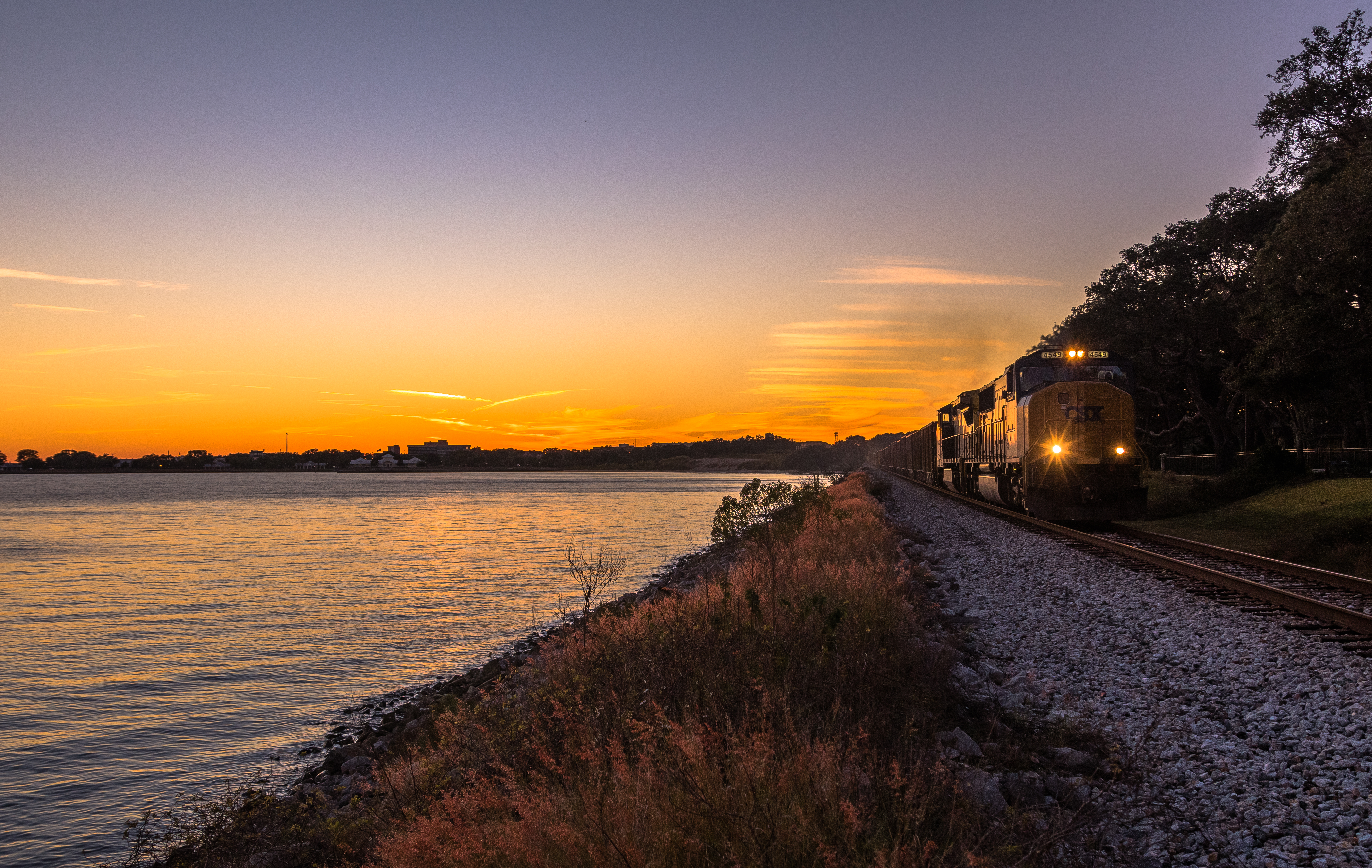
Sunny Florida Christmas. Q601 Bayou Texar Pensacola Florida.
sunset pensacola
Bayou Texar
square slumber squareformat iphoneography instagramapp
The first beach day of 2015
urban streetview spring perspective abstractreality alternativeprocess atmosphere noperson travel flickraward florida interestingness lonelyplanet nationalgeographic gettyimages landscape nature explore popular constantcreations iphoneographer iphoneography vsco
Gadsden alleys
trees nature landscape july gettyimages verticalpictures alternativeprocess flickraward florida cellphonephotography whereigo constantcreations interestingness explore nationalgeographic lonelyplanet iphoneographer iphoneography
The fort
summer flare nationalgeographic gettyimages interestingness lonelyplanet abstractreality landscape road pensacola florida cellphonephotography verticalpictures iphoneography iphoneographer constantcreations explore popular alternativeprocess atmosphere mood
The daze ahead (final)
landscape constantcreations verticalpictures atmosphere abstractreality whereigo travel florida pensacola perspective vsco alternativeprocess cellphonephotography nationalgeographic gettyimages lonelyplanet iphoneographer iphoneography march 2017 new streetview citylife
Evening dig
landscape alternativeprocess abstractreality interestingness themailman perspective 2017 april florida new cellphonephotography iphoneographer iphoneography constantcreations verticalpictures greenscape trees travel explore warrington urban nature
End of Cora
from beach da
FLORIDA - 2.28 - 3.4.13 (set) 7
nationalgeographic interestingness travel textured atmosphere mextures alternativeprocess driving landscape iphoneographer iphoneography lonelyplanet gettyimages vsco perspective rural constantcreations randomworld florida warrington
Padgett Ct
randomworld noperson travel cellphonephotography trees landscape nature december florida explore interestingness gettyimages nationalgeographic lonelyplanet vsco alternativeprocess rural perspective verticalpictures constantcreations iphoneographer iphoneography
Searching for vacancies
bridge sunshine butterfly
3-mile-bridge-butterfly-032