Elevation of Smith Ln, Opelousas, LA, USA
Location: United States > Louisiana > St. Landry Parish > >
Longitude: -92.0585847
Latitude: 30.5991704
Elevation: 21m / 69feet
Barometric Pressure: 0KPa
Related Photos:

Antique Auto Rainbow

Red, White and Bruise

Split Window View
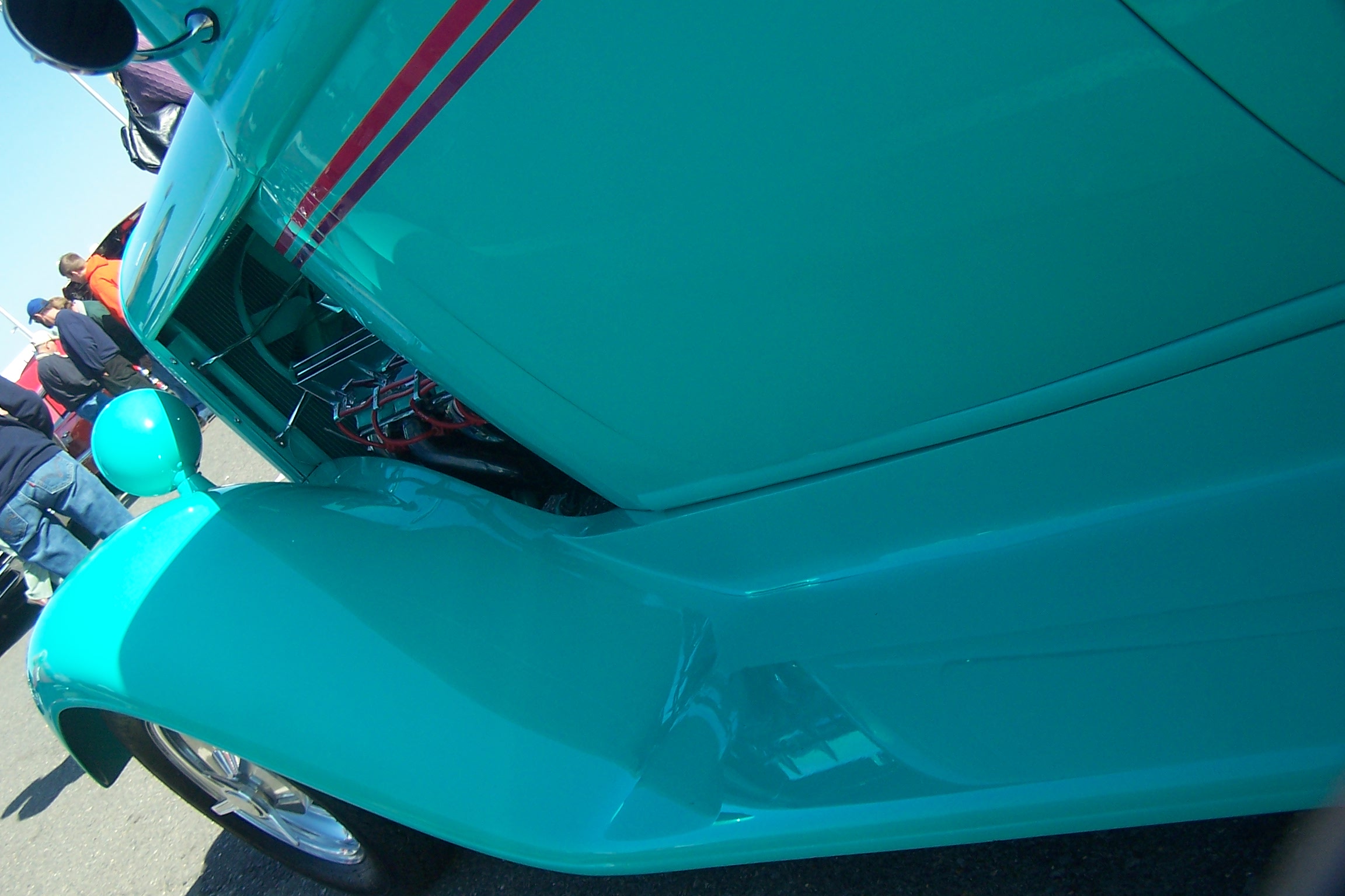
Fender View
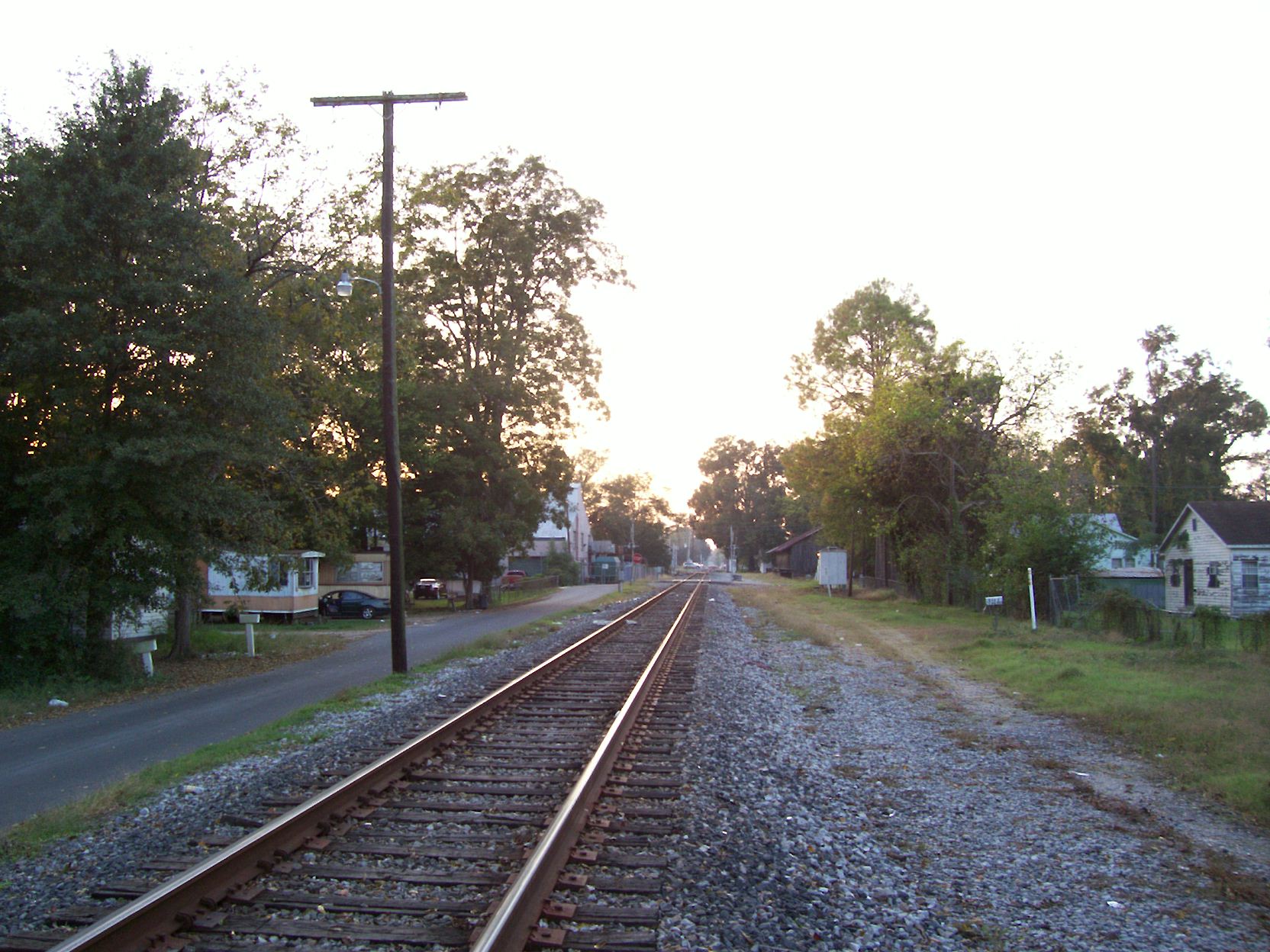
Looking westward

Crushed! (a closer view)
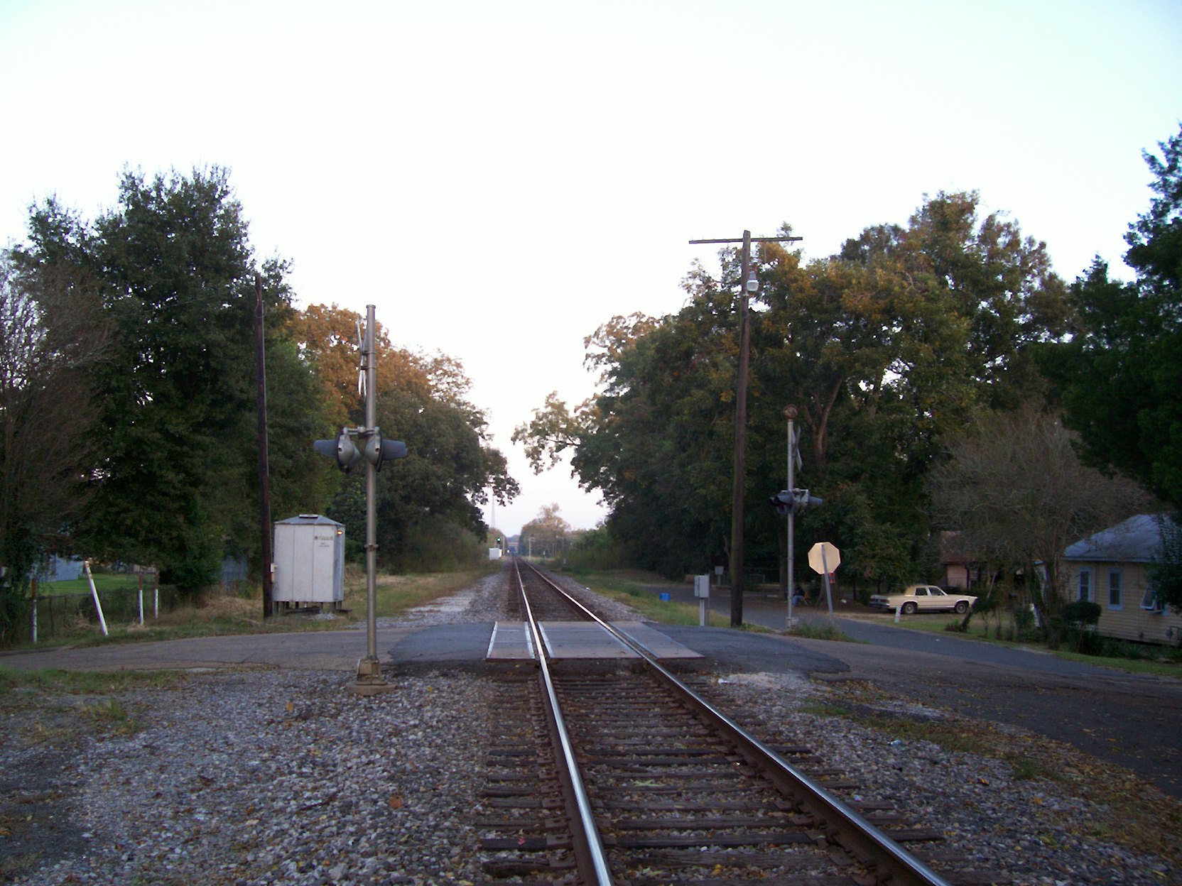
Looking eastward

Land of Lakes Farm

Sunset in Louisiana

Pantala flavescens, Wandering Glider
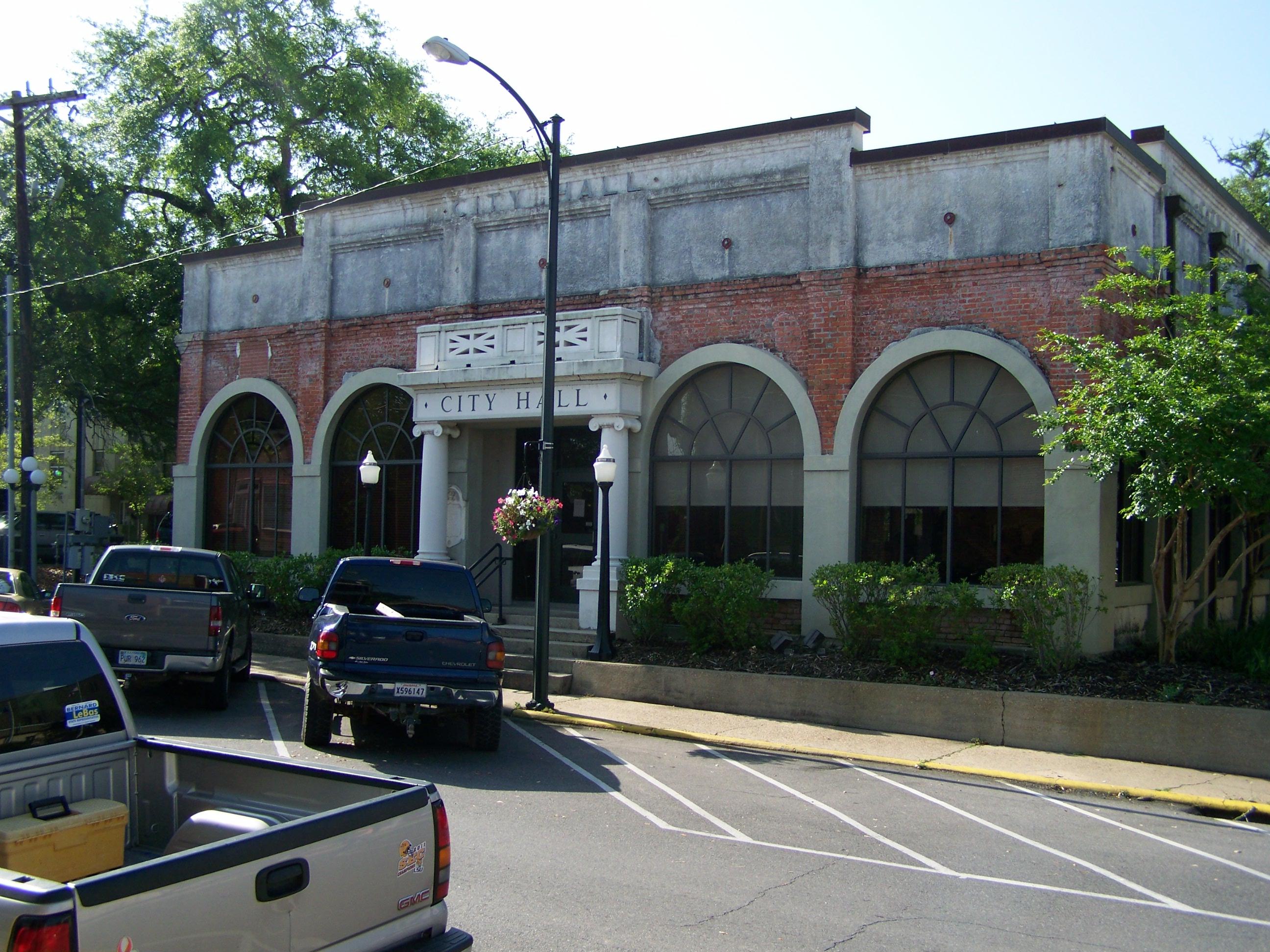
City Hall- Opelousas LA (1)
Topographic Map of Smith Ln, Opelousas, LA, USA
Find elevation by address:

Places near Smith Ln, Opelousas, LA, USA:
St. Landry Parish
Washington
1071 Grand Prairie Hwy
1409 Us-167
164 Gentry Dr
164 Gentry Dr
164 Gentry Dr
Gintilly Road
3, LA, USA
1319 N Market St
231 W North St
231 W North St
Opelousas
243 Texas Eastern Rd
Redbud Lane
1924 Alonzo St
LA-, Bunkie, LA, USA
4, LA, USA
661 Southwood Dr
115 Country Ridge Rd
Recent Searches:
- Elevation map of Greenland, Greenland
- Elevation of Sullivan Hill, New York, New York, 10002, USA
- Elevation of Morehead Road, Withrow Downs, Charlotte, Mecklenburg County, North Carolina, 28262, USA
- Elevation of 2800, Morehead Road, Withrow Downs, Charlotte, Mecklenburg County, North Carolina, 28262, USA
- Elevation of Yangbi Yi Autonomous County, Yunnan, China
- Elevation of Pingpo, Yangbi Yi Autonomous County, Yunnan, China
- Elevation of Mount Malong, Pingpo, Yangbi Yi Autonomous County, Yunnan, China
- Elevation map of Yongping County, Yunnan, China
- Elevation of North 8th Street, Palatka, Putnam County, Florida, 32177, USA
- Elevation of 107, Big Apple Road, East Palatka, Putnam County, Florida, 32131, USA
- Elevation of Jiezi, Chongzhou City, Sichuan, China
- Elevation of Chongzhou City, Sichuan, China
- Elevation of Huaiyuan, Chongzhou City, Sichuan, China
- Elevation of Qingxia, Chengdu, Sichuan, China
- Elevation of Corso Fratelli Cairoli, 35, Macerata MC, Italy
- Elevation of Tallevast Rd, Sarasota, FL, USA
- Elevation of 4th St E, Sonoma, CA, USA
- Elevation of Black Hollow Rd, Pennsdale, PA, USA
- Elevation of Oakland Ave, Williamsport, PA, USA
- Elevation of Pedrógão Grande, Portugal