Elevation of Gentry Dr, Washington, LA, USA
Location: United States > Louisiana > St. Landry Parish > > Washington >
Longitude: -92.021152
Latitude: 30.6237226
Elevation: 9m / 30feet
Barometric Pressure: 101KPa
Elevation Map:
Satellite Map:
Related Photos:
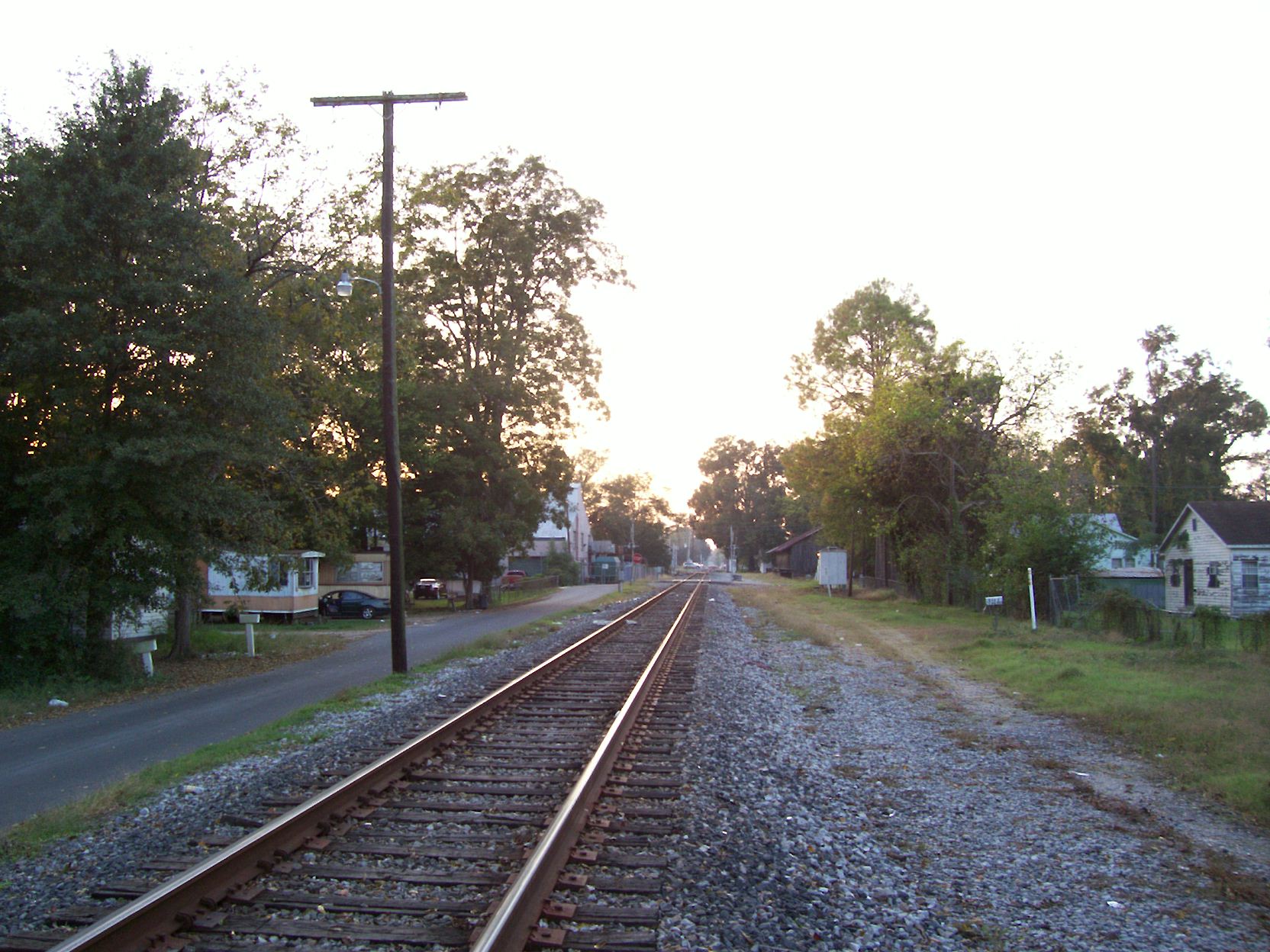
Looking westward

Antique Auto Rainbow

Red, White and Bruise

Split Window View
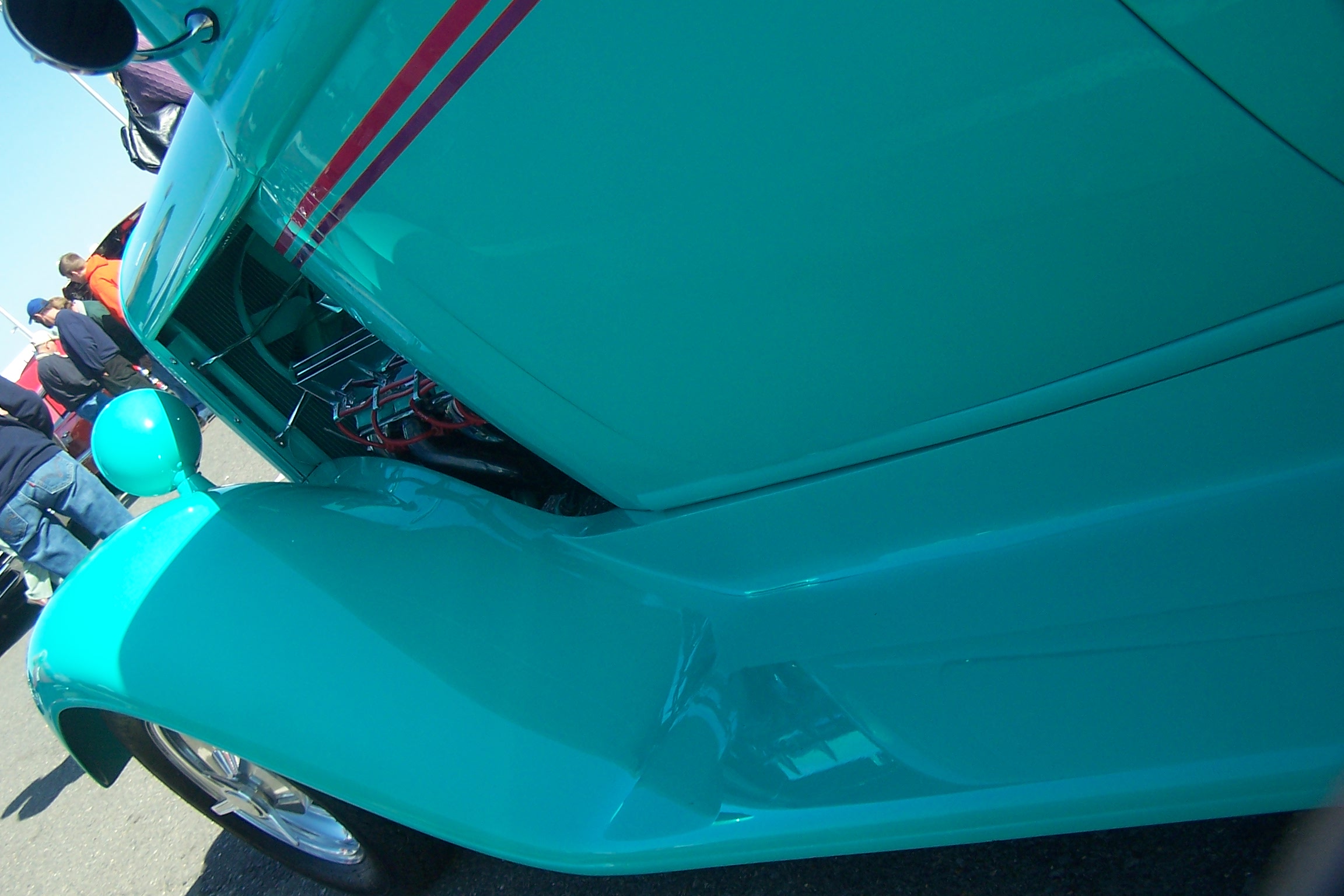
Fender View

Crushed! (a closer view)
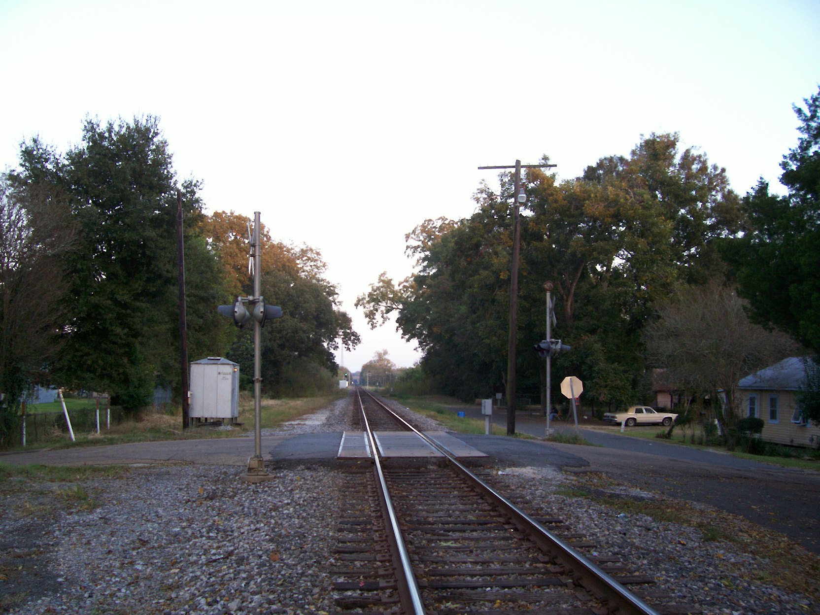
Looking eastward
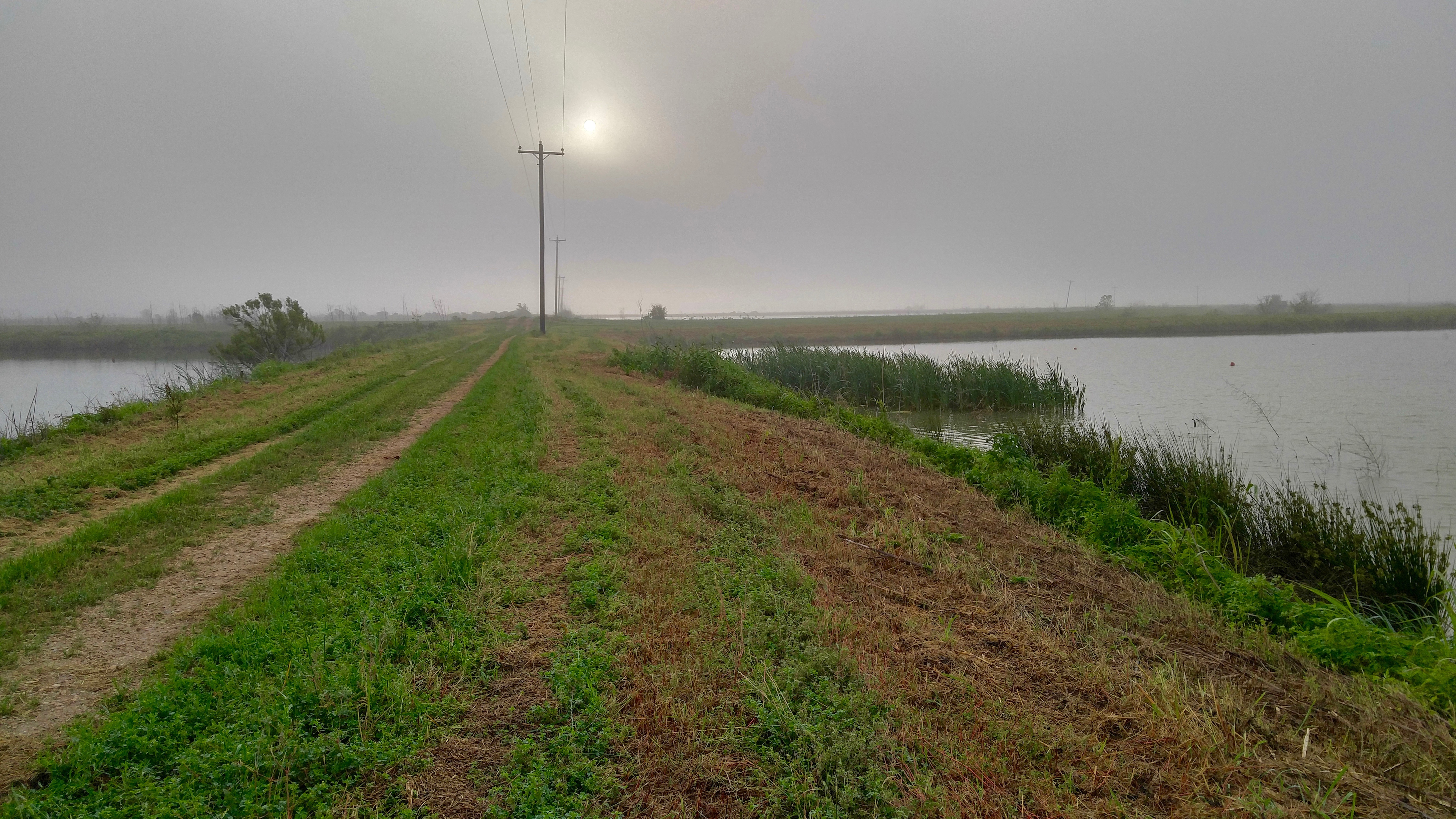
Land of Lakes Farm
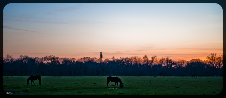
Sunset in Louisiana
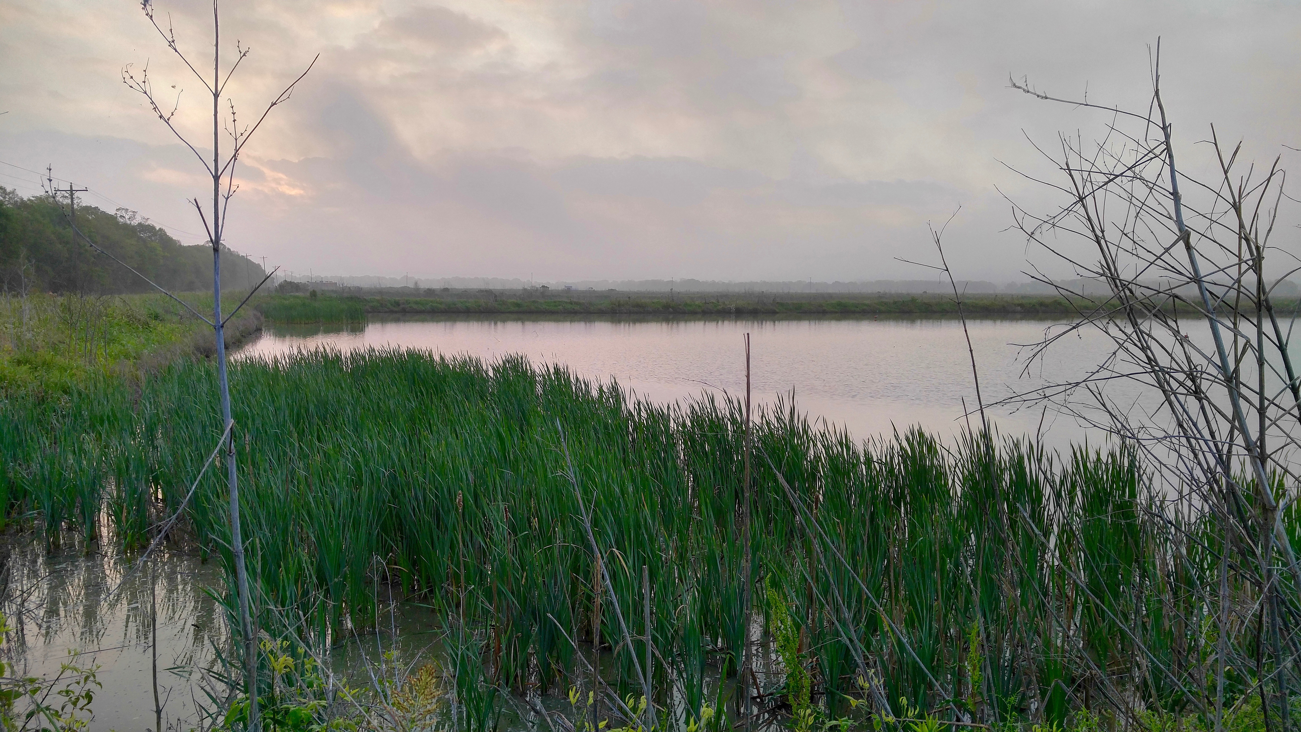
Land of Lakes Farm
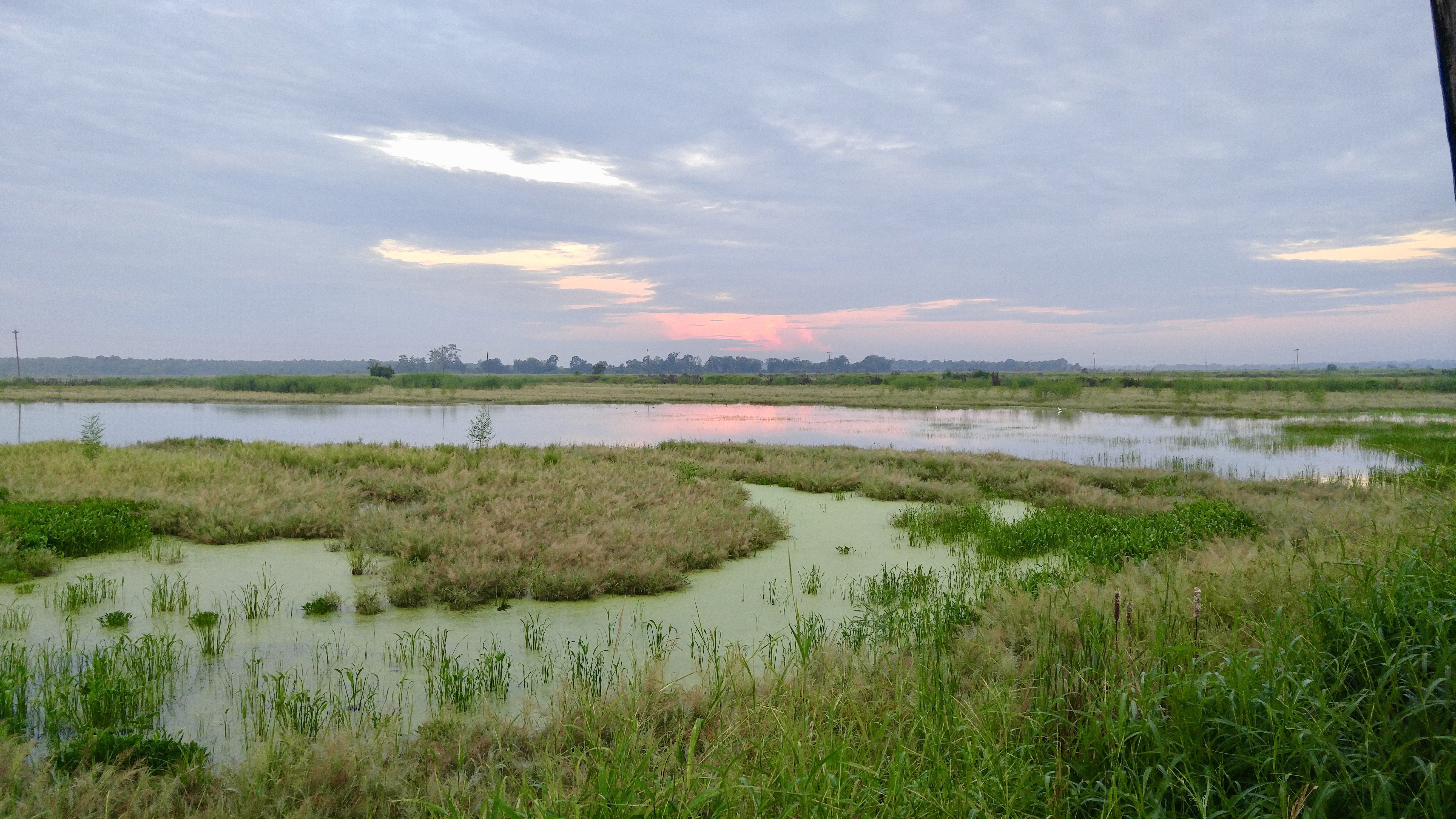
Land of Lakes Farm
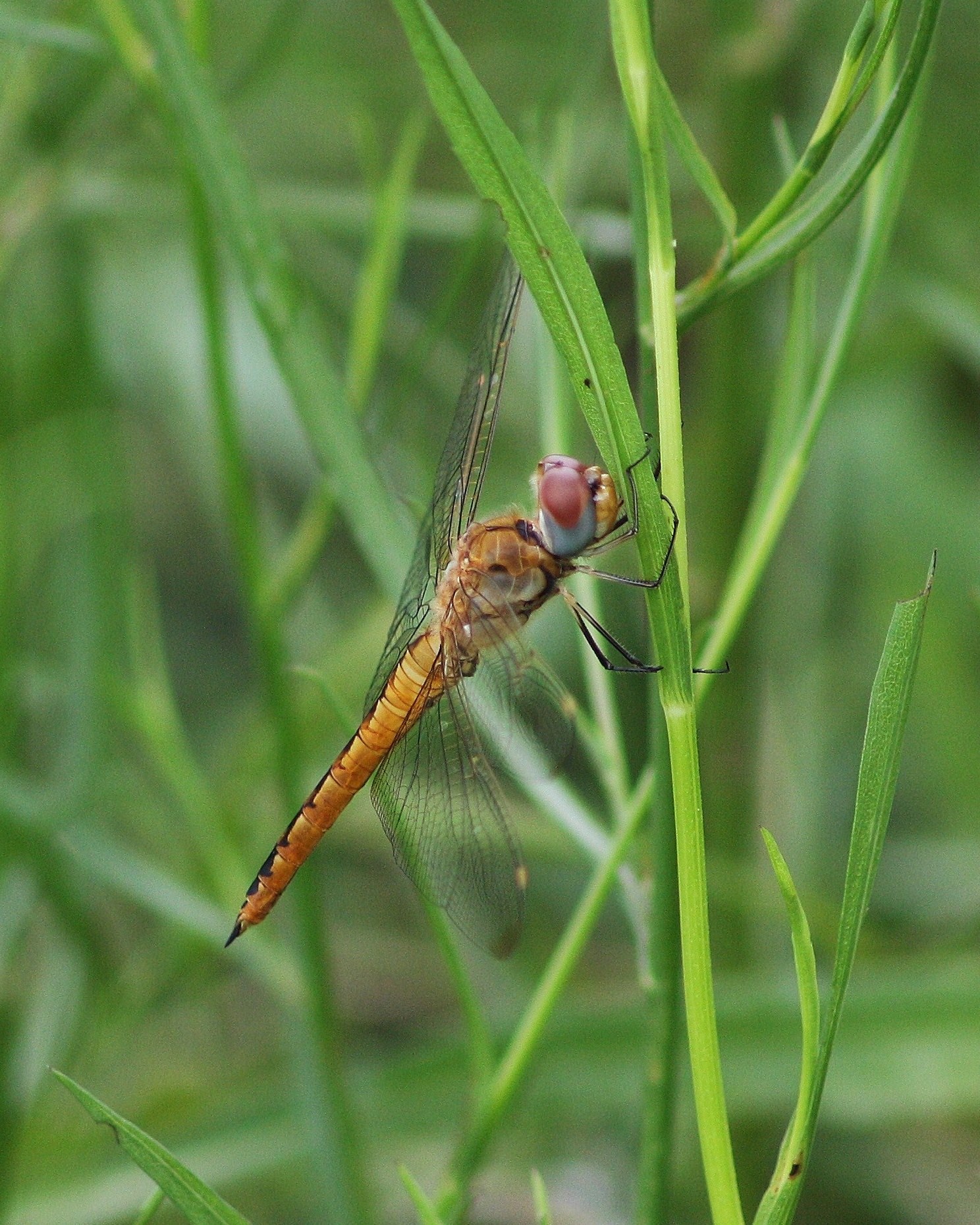
Pantala flavescens, Wandering Glider
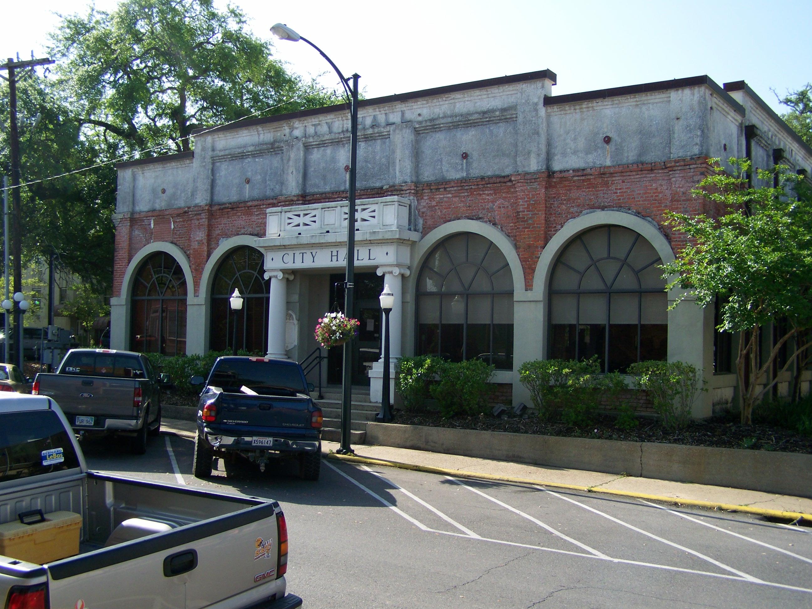
City Hall- Opelousas LA (1)
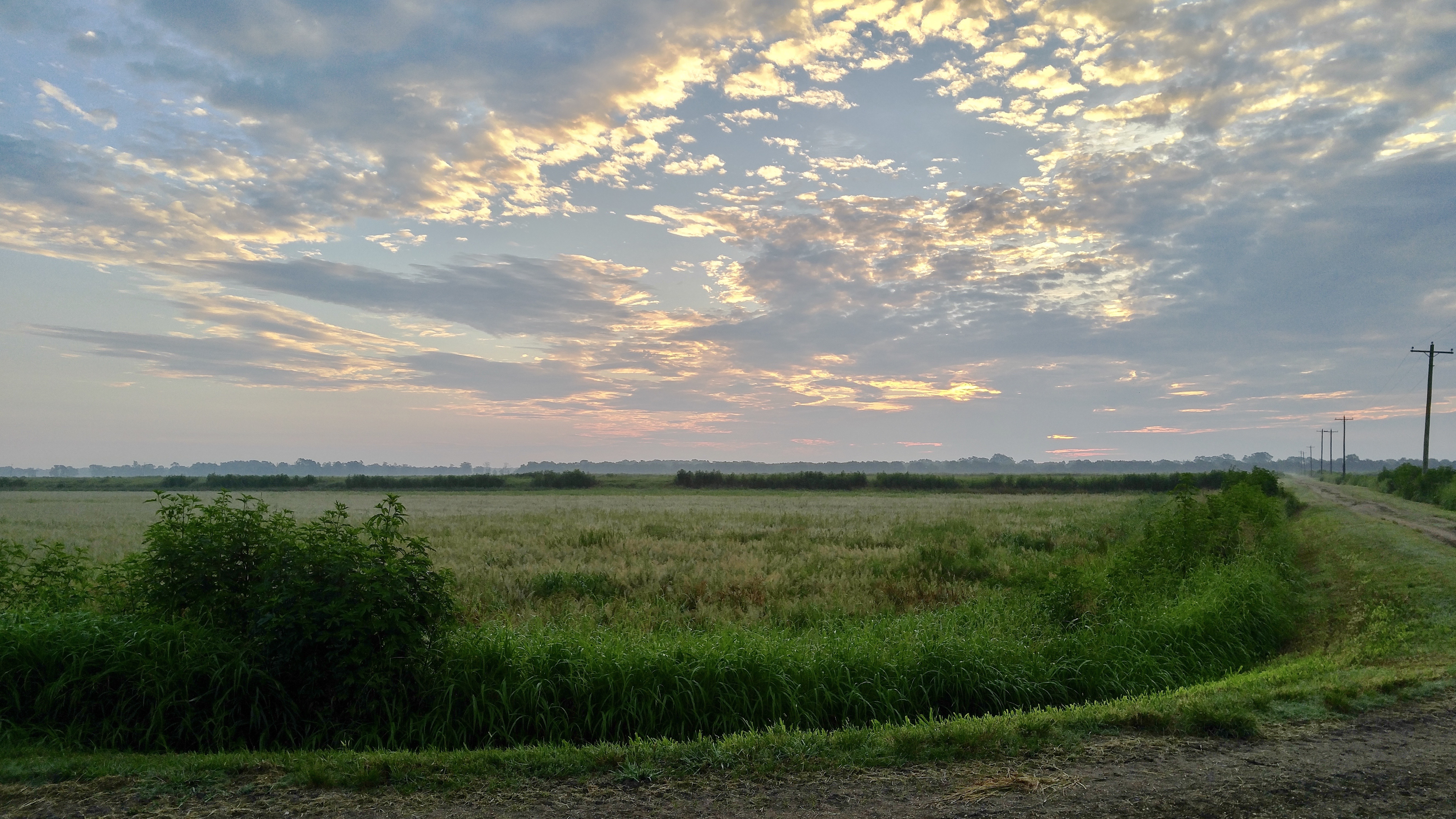
Land of Lakes Farm
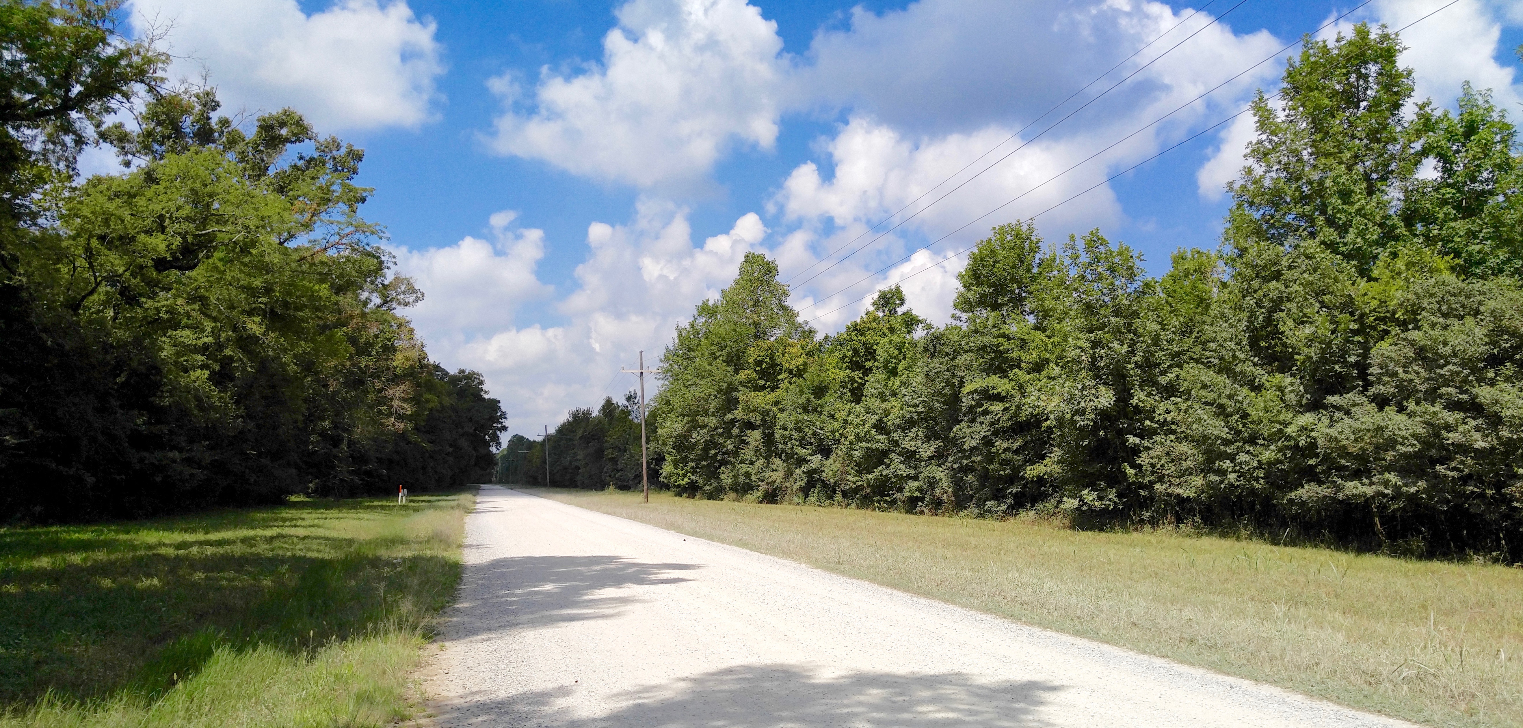
Thistlethwaite WMA
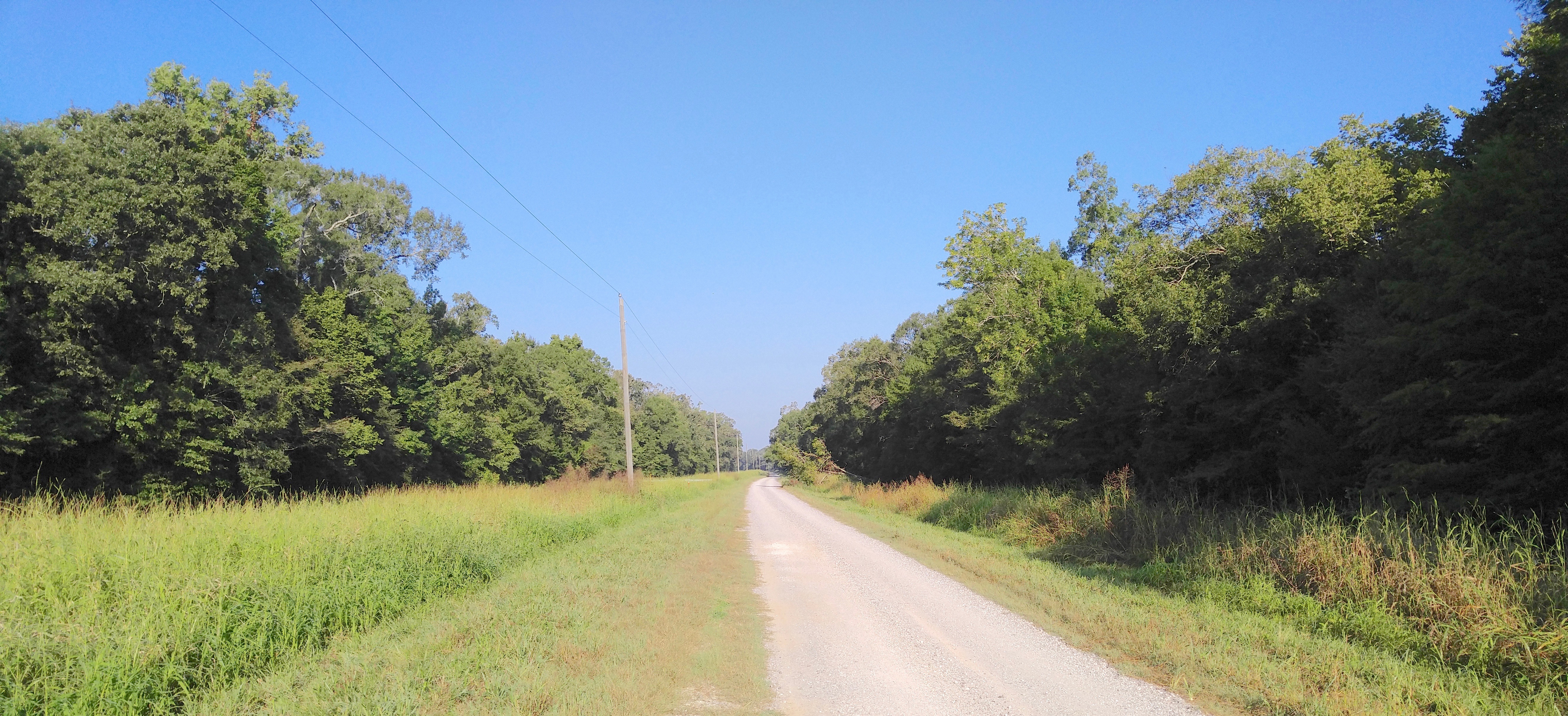
Thistlethwaite WMA

Land of Lakes Farm
Topographic Map of Gentry Dr, Washington, LA, USA
Find elevation by address:

Places near Gentry Dr, Washington, LA, USA:
164 Gentry Dr
164 Gentry Dr
Washington
182 Smith Ln
1071 Grand Prairie Hwy
St. Landry Parish
1409 Us-167
LA-, Bunkie, LA, USA
Gintilly Road
Port Barre
3, LA, USA
1319 N Market St
Opelousas
231 W North St
231 W North St
4, LA, USA
LA-, Bunkie, LA, USA
243 Texas Eastern Rd
Redbud Lane
1924 Alonzo St
Recent Searches:
- Elevation of Corso Fratelli Cairoli, 35, Macerata MC, Italy
- Elevation of Tallevast Rd, Sarasota, FL, USA
- Elevation of 4th St E, Sonoma, CA, USA
- Elevation of Black Hollow Rd, Pennsdale, PA, USA
- Elevation of Oakland Ave, Williamsport, PA, USA
- Elevation of Pedrógão Grande, Portugal
- Elevation of Klee Dr, Martinsburg, WV, USA
- Elevation of Via Roma, Pieranica CR, Italy
- Elevation of Tavkvetili Mountain, Georgia
- Elevation of Hartfords Bluff Cir, Mt Pleasant, SC, USA