Elevation of Smith Creek Rd, Mountain Home, ID, USA
Location: United States > Idaho > Elmore County > Mountain Home >
Longitude: -115.57284
Latitude: 43.504018
Elevation: 1461m / 4793feet
Barometric Pressure: 85KPa
Elevation Map:
Satellite Map:
Related Photos:

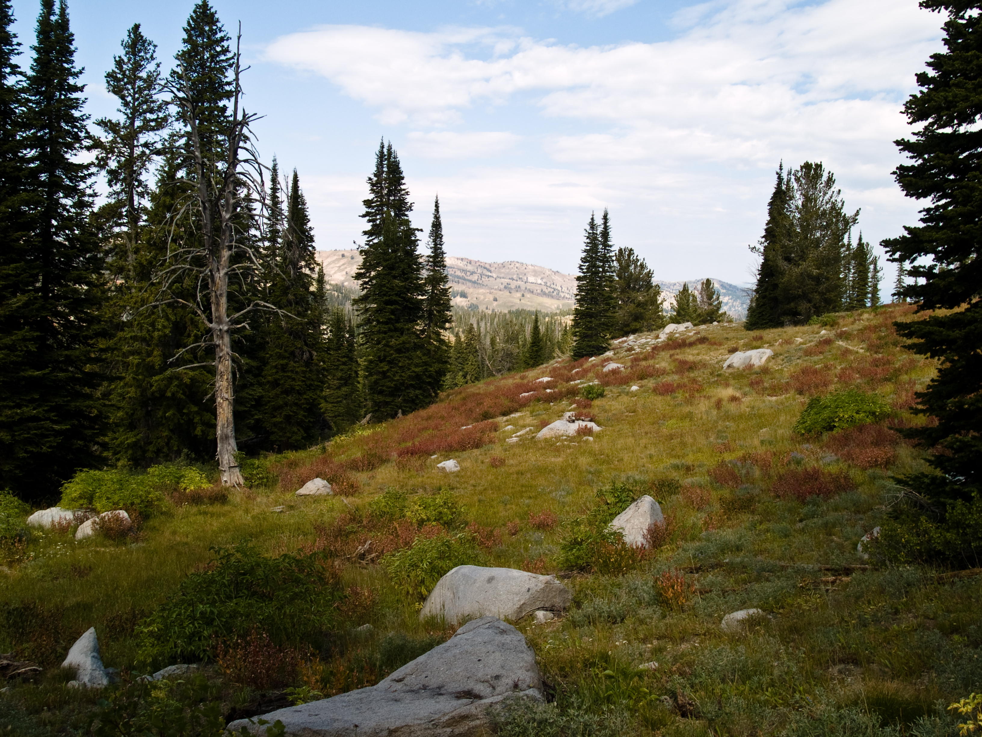
Poo with a view

Sun over Smith Prairie

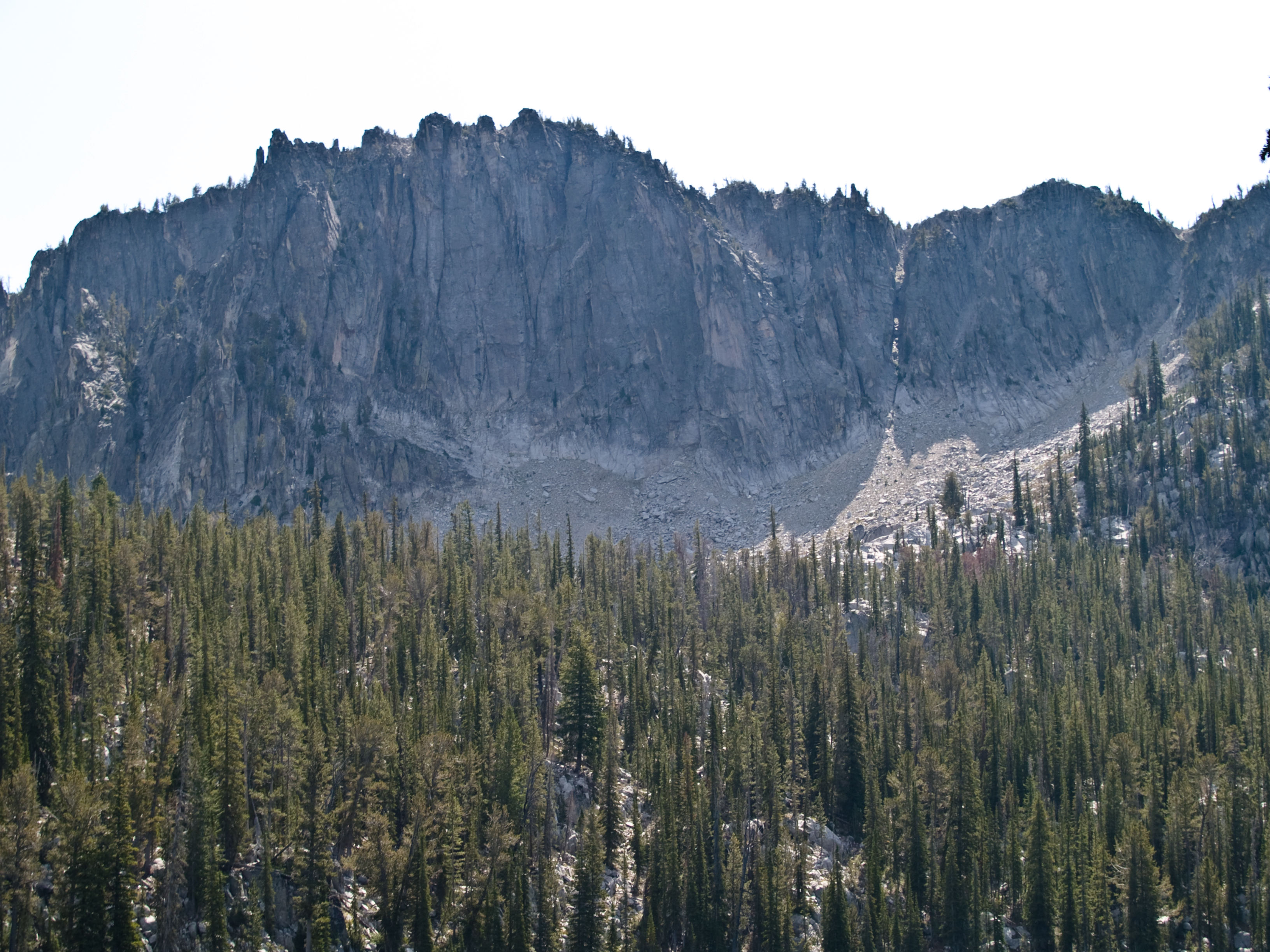
Grizzly Adams

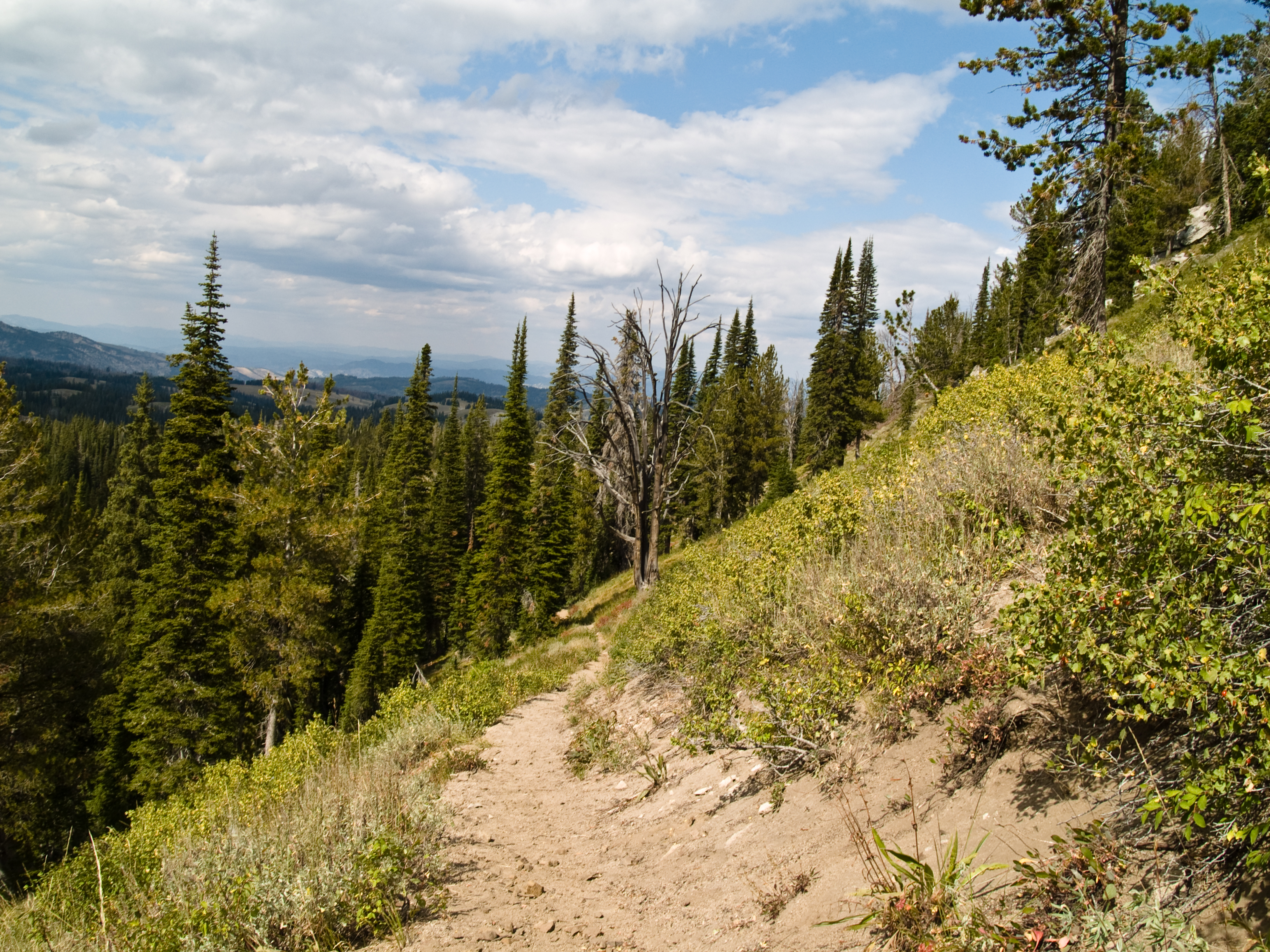
nice view

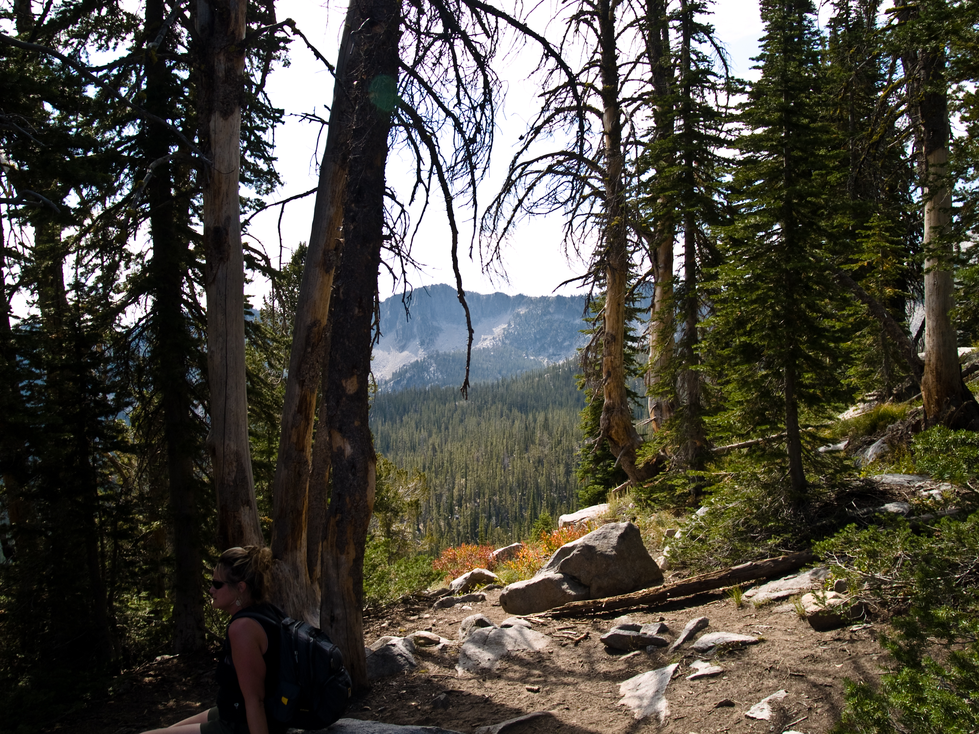
View of Trinity Lookout

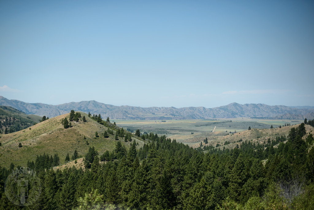
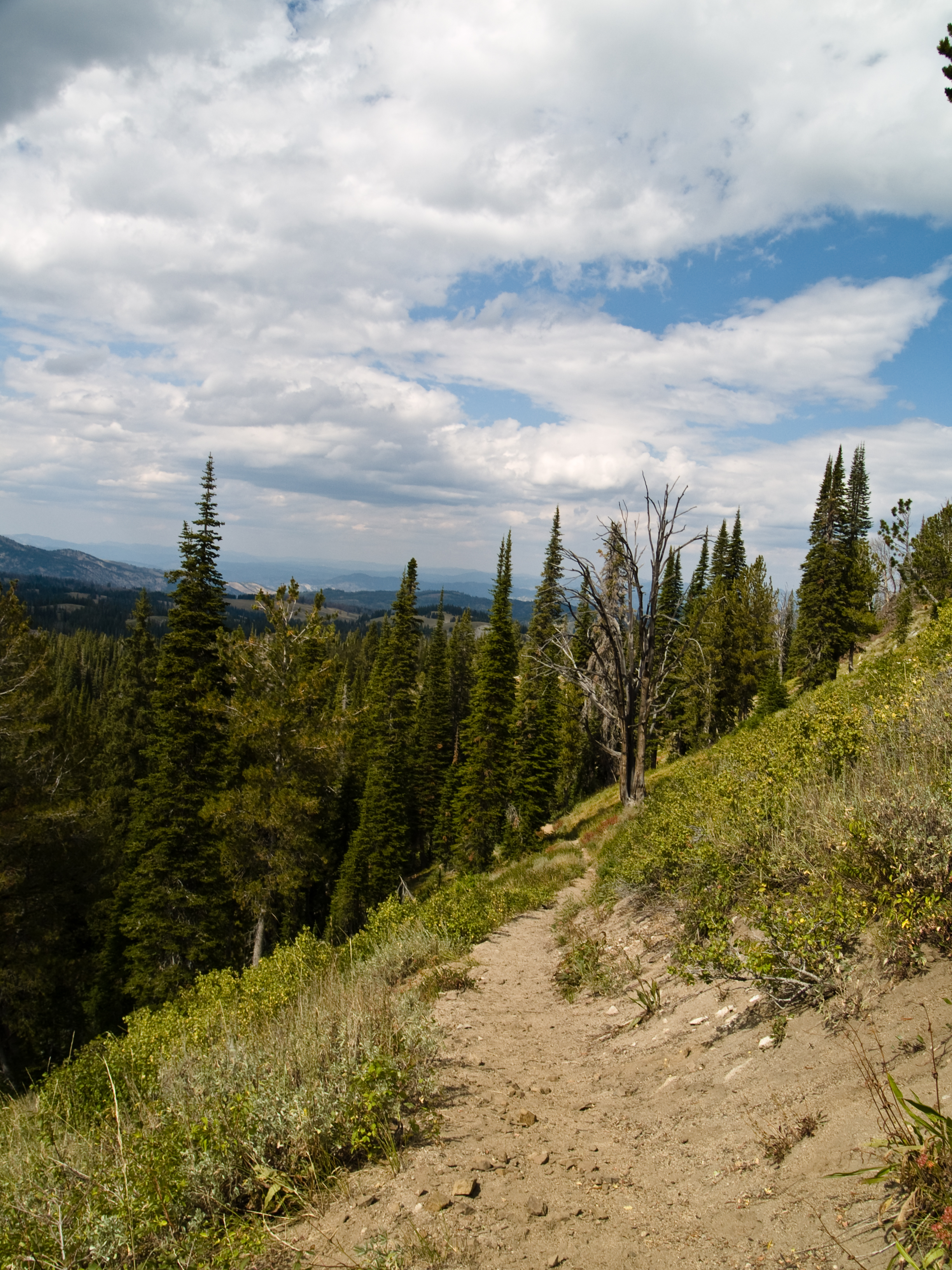
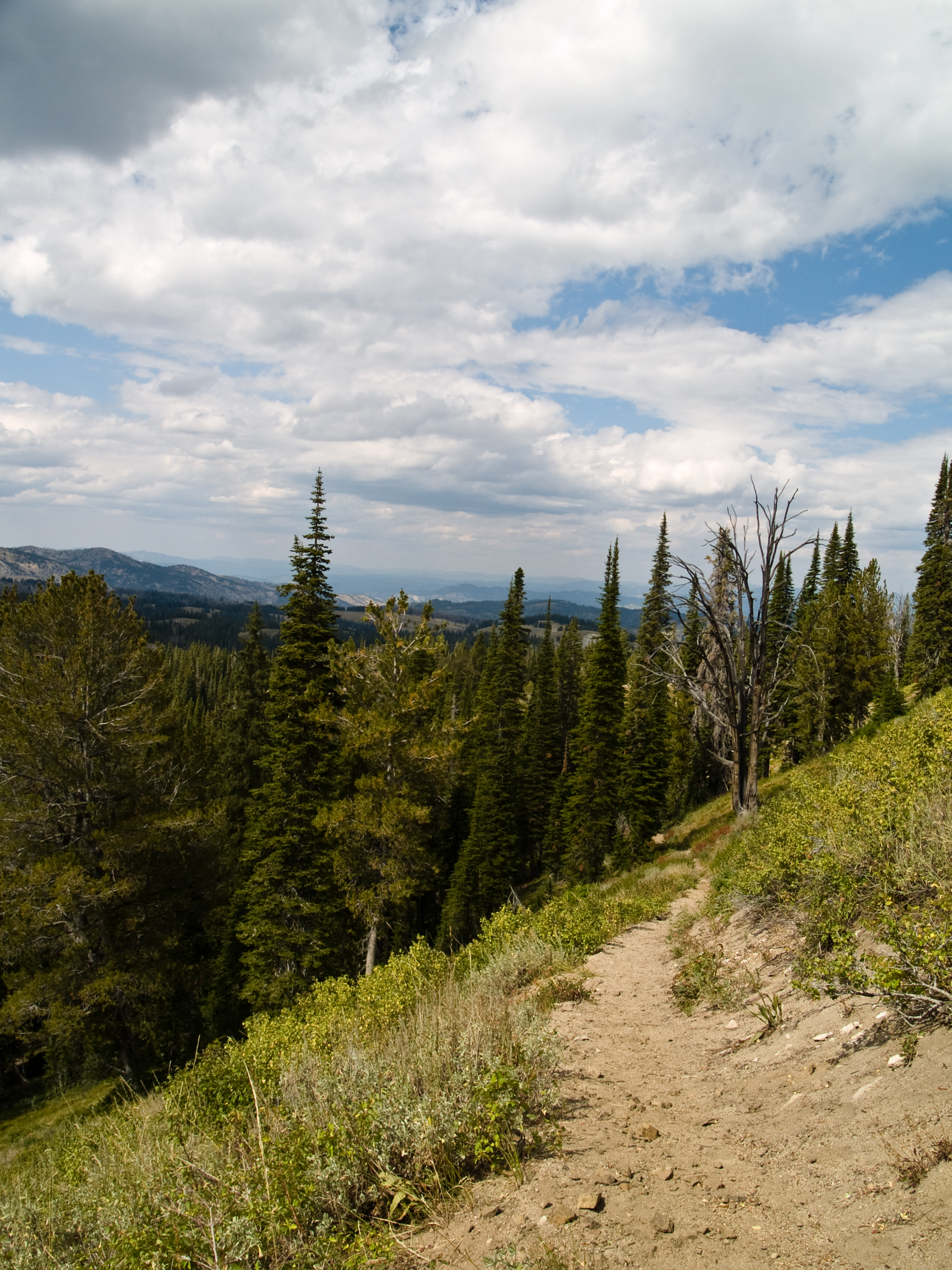
Smith Prairie and the Snake River Plain

Fiddler Flat
Trinity Lakes-58

Fooling around
Trinity Lakes-70

Fooling around

Trinity Lakes-63
Trinity Lakes-80

Trinity lakes

Snow on the road to Trinity Lookout

Road slalom
Descend to desert
Trinity Lakes-81

Shovel here
Trinity Lakes-60

Spot the lake
Trinity Lakes-82

Yellow fence

Sound of music

Trinity Lookout
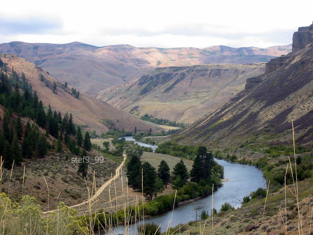
Boise River
Topographic Map of Smith Creek Rd, Mountain Home, ID, USA
Find elevation by address:

Places near Smith Creek Rd, Mountain Home, ID, USA:
Prairie
855 Long Gulch Rd
1439 Long Gulch Rd
1439 Long Gulch Rd
Tipanuk
NE South Fork Rd, Mountain Home, ID, USA
National Forest Development Road 167
17750 Ne Dyllan Ln
248 W Bentzinger Dr
999 Slater Flat Rd
Pilot Travel Center
1050 Us-20
Mountain Home
Elmore County
562 E Mikes Pl
675 W 6th S
1036 Id-51
1036 Id-51
1036 Id-51
5040 Id-51
Recent Searches:
- Elevation of Corso Fratelli Cairoli, 35, Macerata MC, Italy
- Elevation of Tallevast Rd, Sarasota, FL, USA
- Elevation of 4th St E, Sonoma, CA, USA
- Elevation of Black Hollow Rd, Pennsdale, PA, USA
- Elevation of Oakland Ave, Williamsport, PA, USA
- Elevation of Pedrógão Grande, Portugal
- Elevation of Klee Dr, Martinsburg, WV, USA
- Elevation of Via Roma, Pieranica CR, Italy
- Elevation of Tavkvetili Mountain, Georgia
- Elevation of Hartfords Bluff Cir, Mt Pleasant, SC, USA