Elevation of Slim Chance Campground, Idleyld Park, OR, United States
Location: United States > Oregon > Idleyld Park >
Longitude: -122.54560
Latitude: 43.4401208
Elevation: 697m / 2287feet
Barometric Pressure: 93KPa
Elevation Map:
Satellite Map:
Related Photos:
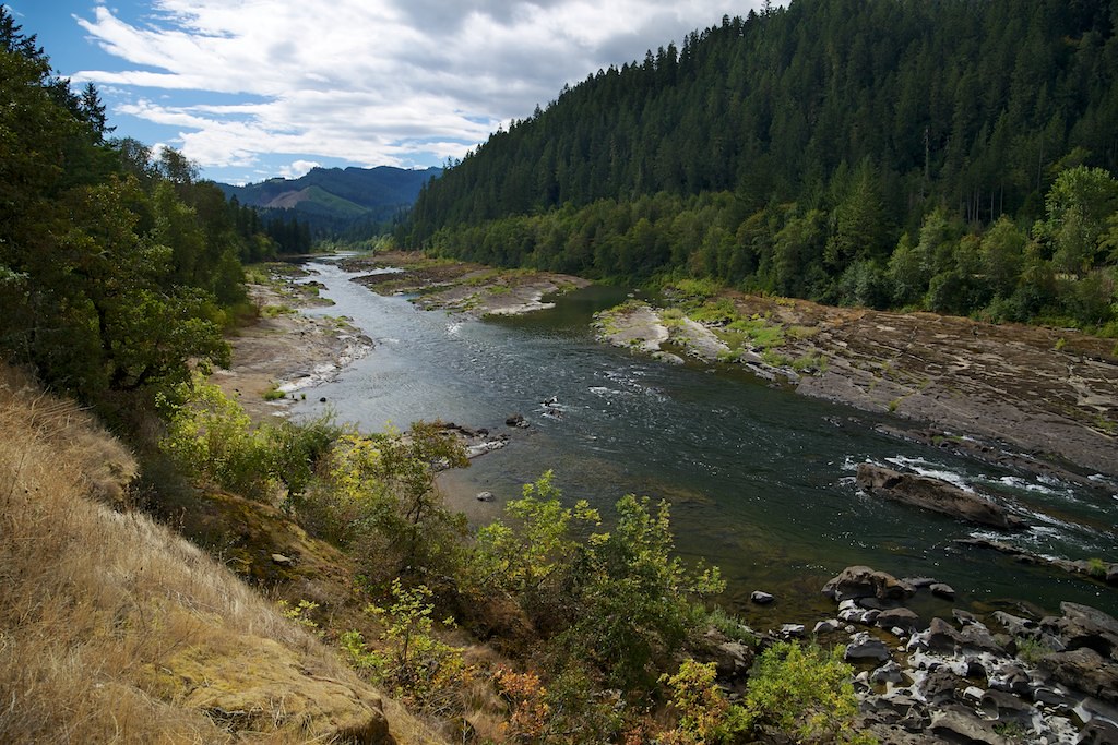
Day 4 - Umpqua River (Route 138)
Topographic Map of Slim Chance Campground, Idleyld Park, OR, United States
Find elevation by address:

Places near Slim Chance Campground, Idleyld Park, OR, United States:
Boulder Flat Campground
Toketee Falls
Toketee Falls
355 Brindle Bug Rd
355 Brindle Bug Rd
355 Brindle Bug Rd
355 Brindle Bug Rd
Fall Creek Falls
Susan Creek Falls
Susan Creek Campground
Fern Falls
161 Diamond Jim Ln
161 Diamond Jim Ln
126 Diamond Jim Ln
126 Diamond Jim Ln
126 Diamond Jim Ln
Idleyld Park
5965 Little River Rd
Peel
Hawthorne
Recent Searches:
- Elevation of Corso Fratelli Cairoli, 35, Macerata MC, Italy
- Elevation of Tallevast Rd, Sarasota, FL, USA
- Elevation of 4th St E, Sonoma, CA, USA
- Elevation of Black Hollow Rd, Pennsdale, PA, USA
- Elevation of Oakland Ave, Williamsport, PA, USA
- Elevation of Pedrógão Grande, Portugal
- Elevation of Klee Dr, Martinsburg, WV, USA
- Elevation of Via Roma, Pieranica CR, Italy
- Elevation of Tavkvetili Mountain, Georgia
- Elevation of Hartfords Bluff Cir, Mt Pleasant, SC, USA