Elevation of Skelton Township, IN, USA
Location: United States > Indiana > Warrick County >
Longitude: -87.162234
Latitude: 38.0924516
Elevation: 142m / 466feet
Barometric Pressure: 100KPa
Elevation Map:
Satellite Map:
Related Photos:
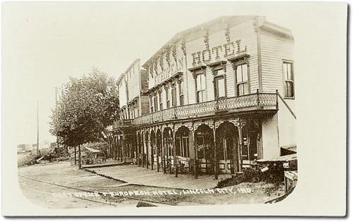
Post Office and European Hotel, Lincoln City, Indiana
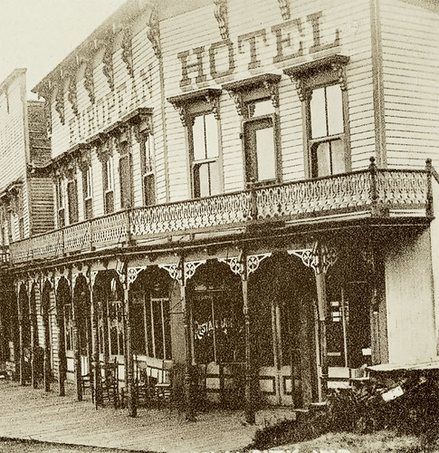
Post Office and European Hotel, Lincoln City, Indiana, section 2

Warrick County Court House, Boonville, Indiana
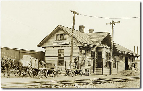
Southern Railway Station, Boonville, Indiana
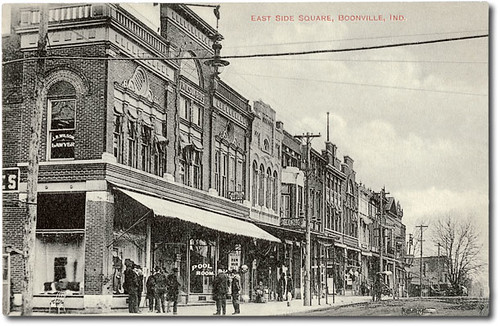
East side of court house square, Boonville, Indiana
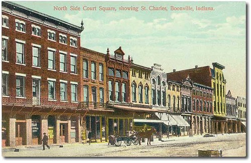
North side of court house square, Boonville, Indiana
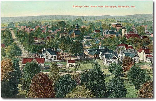
Bird's-eye view west from the standpipe, Boonville, Indiana

U.S. Senator Hemenway residence, Boonville, Indiana

Bidens Aristosa
Lincoln Amphitheatre

Wings in the Sun

An Impressionist's Dragonfly
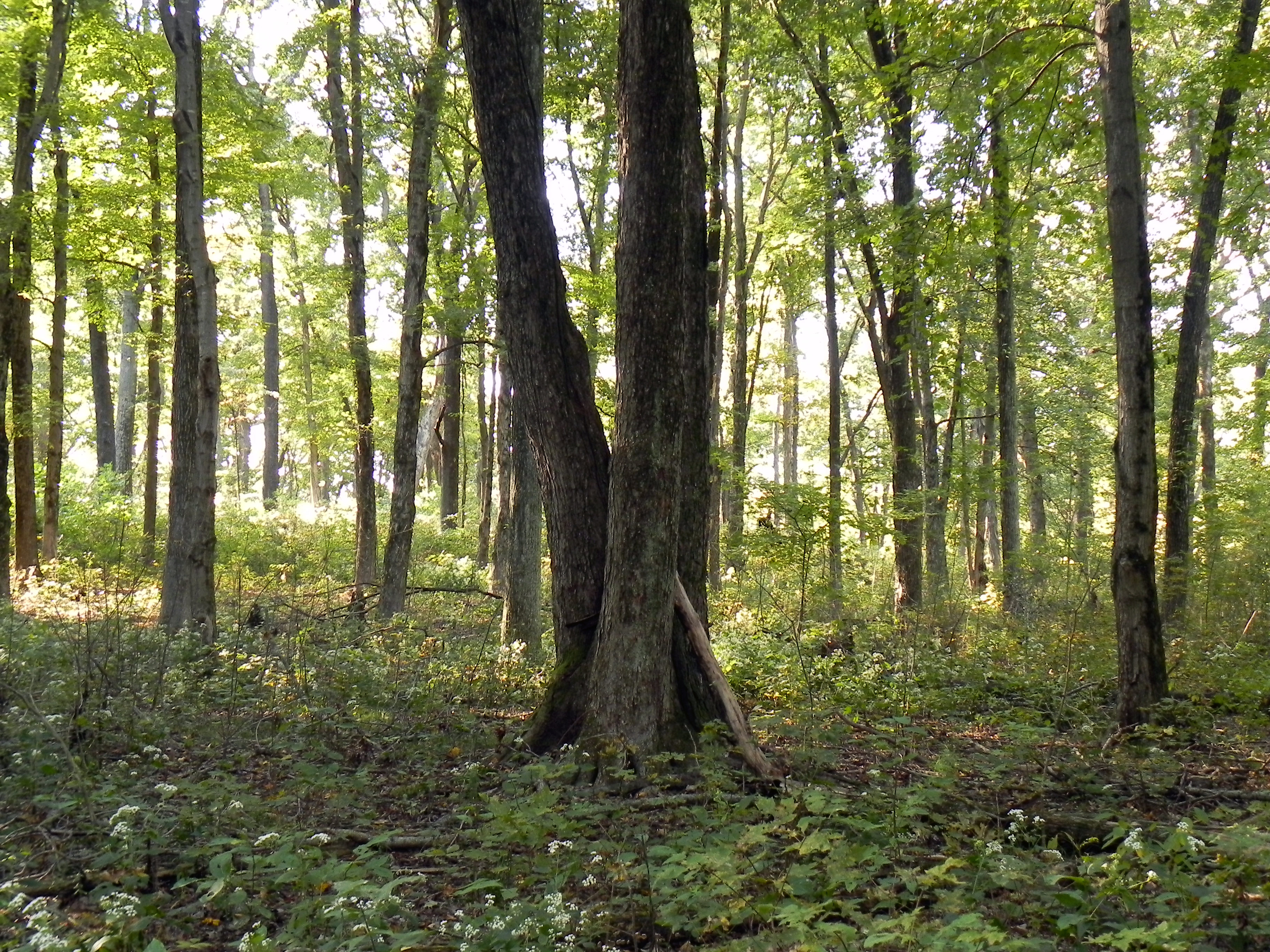
More Trees
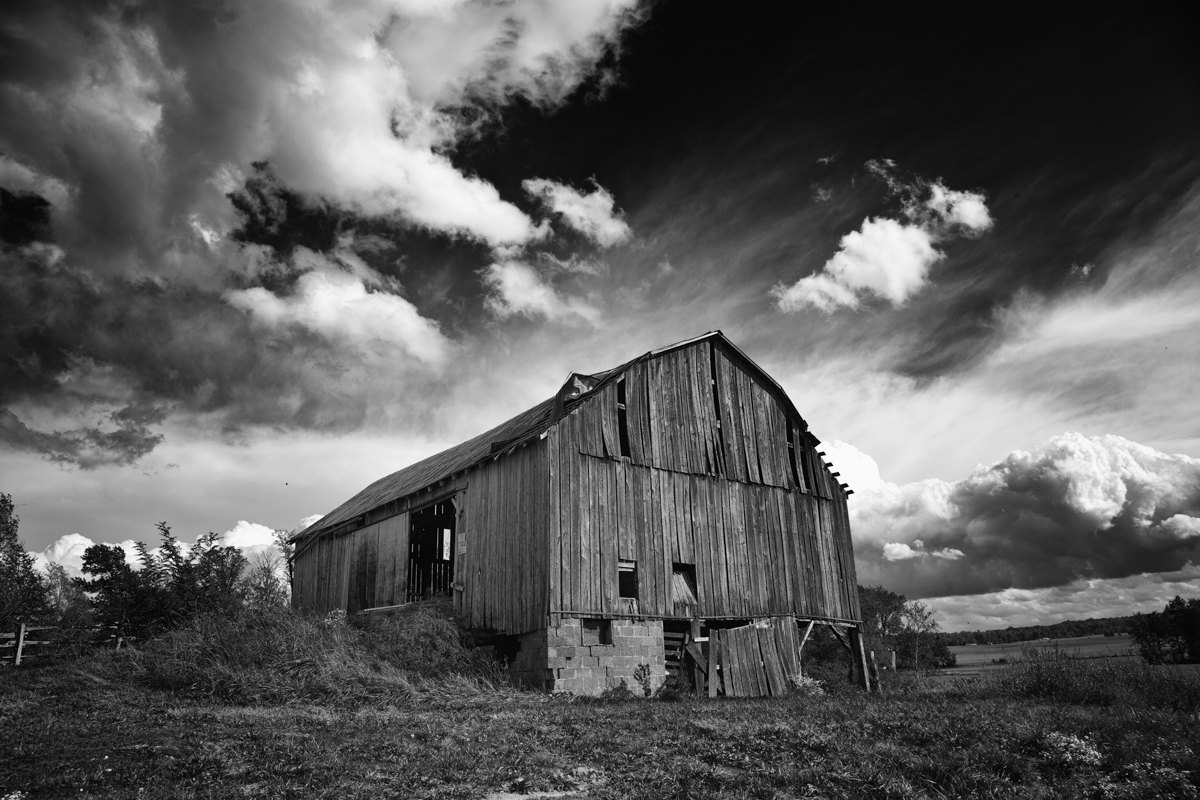
B and W Barn

Another Indiana sunset
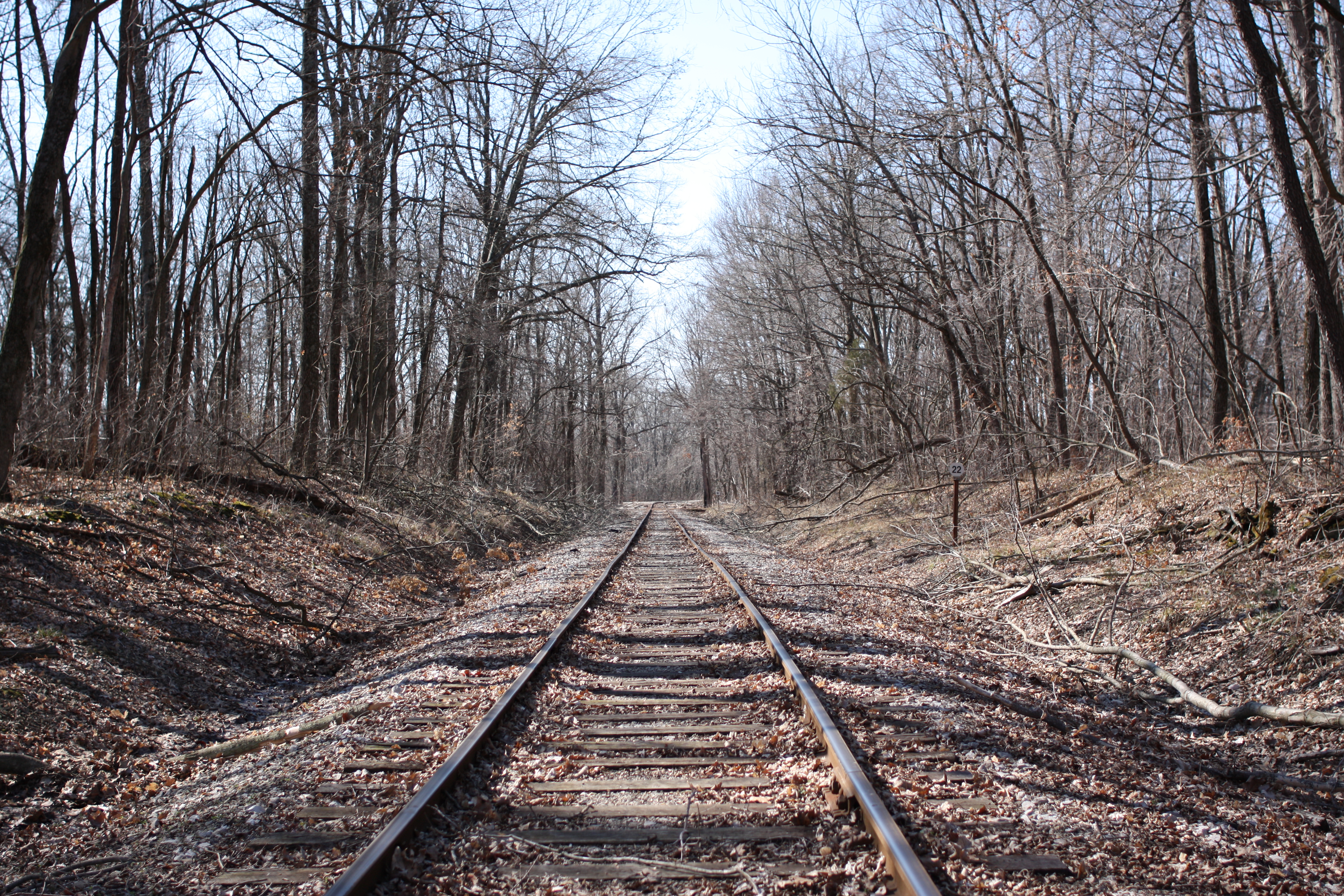
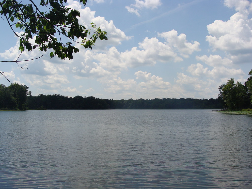
Down by the tracks
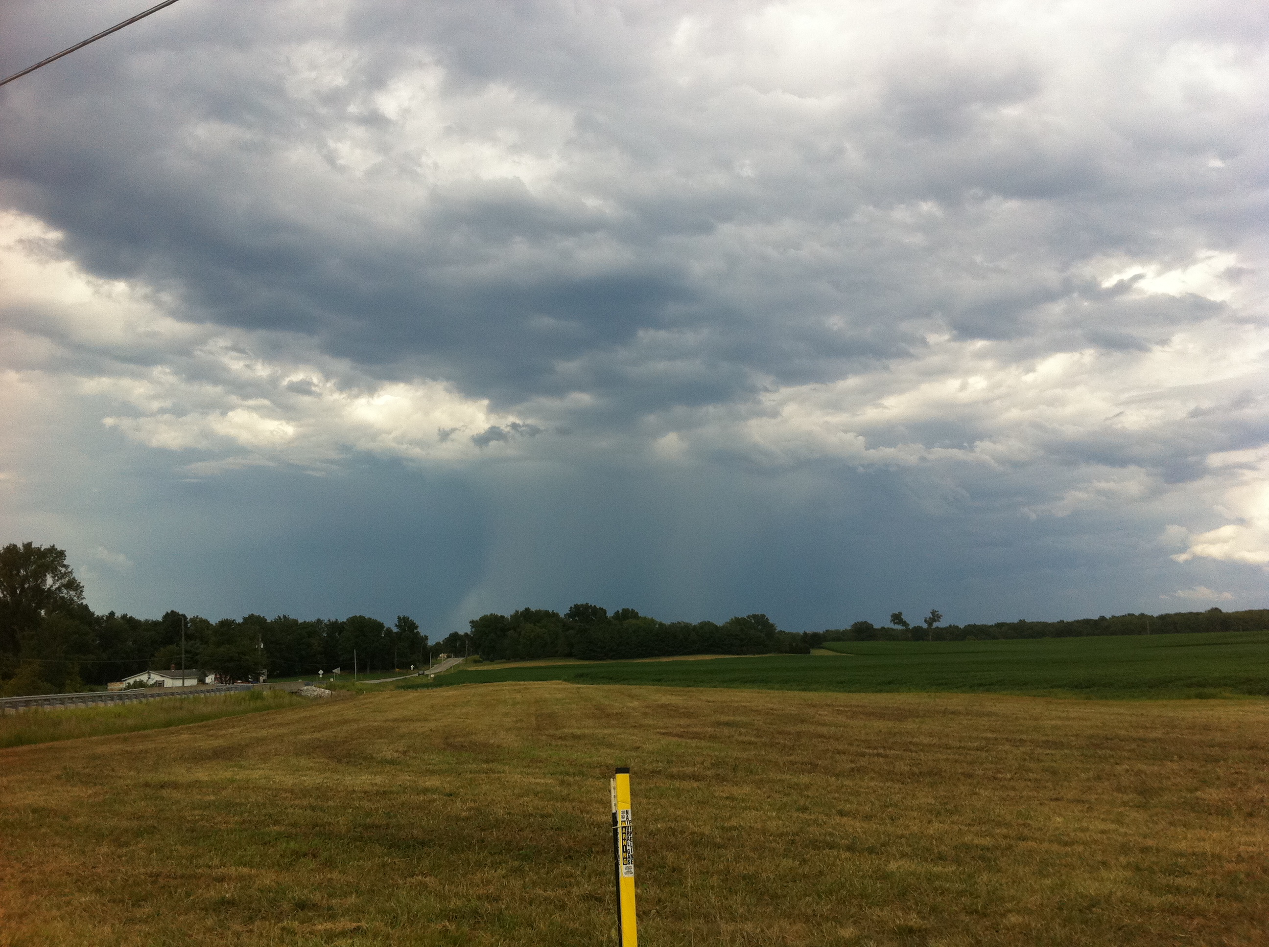
Deluge from a distance

Lincoln memorial
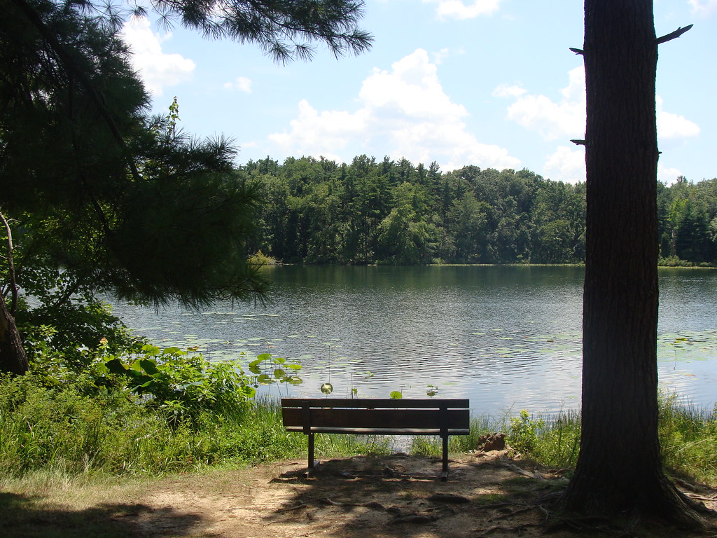
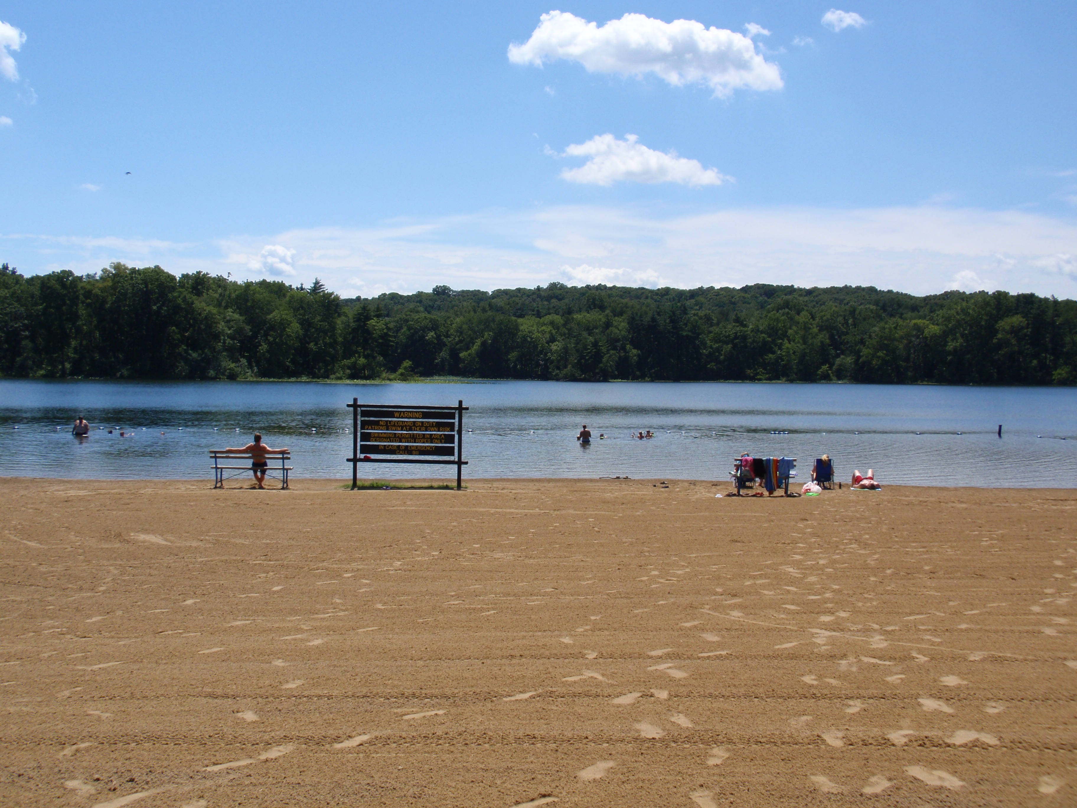
Park Bench
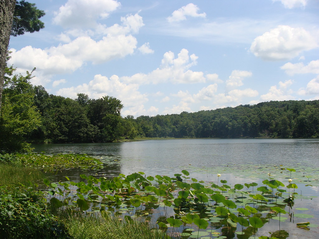
Lilly Pads
Peaceful Day at the Lake
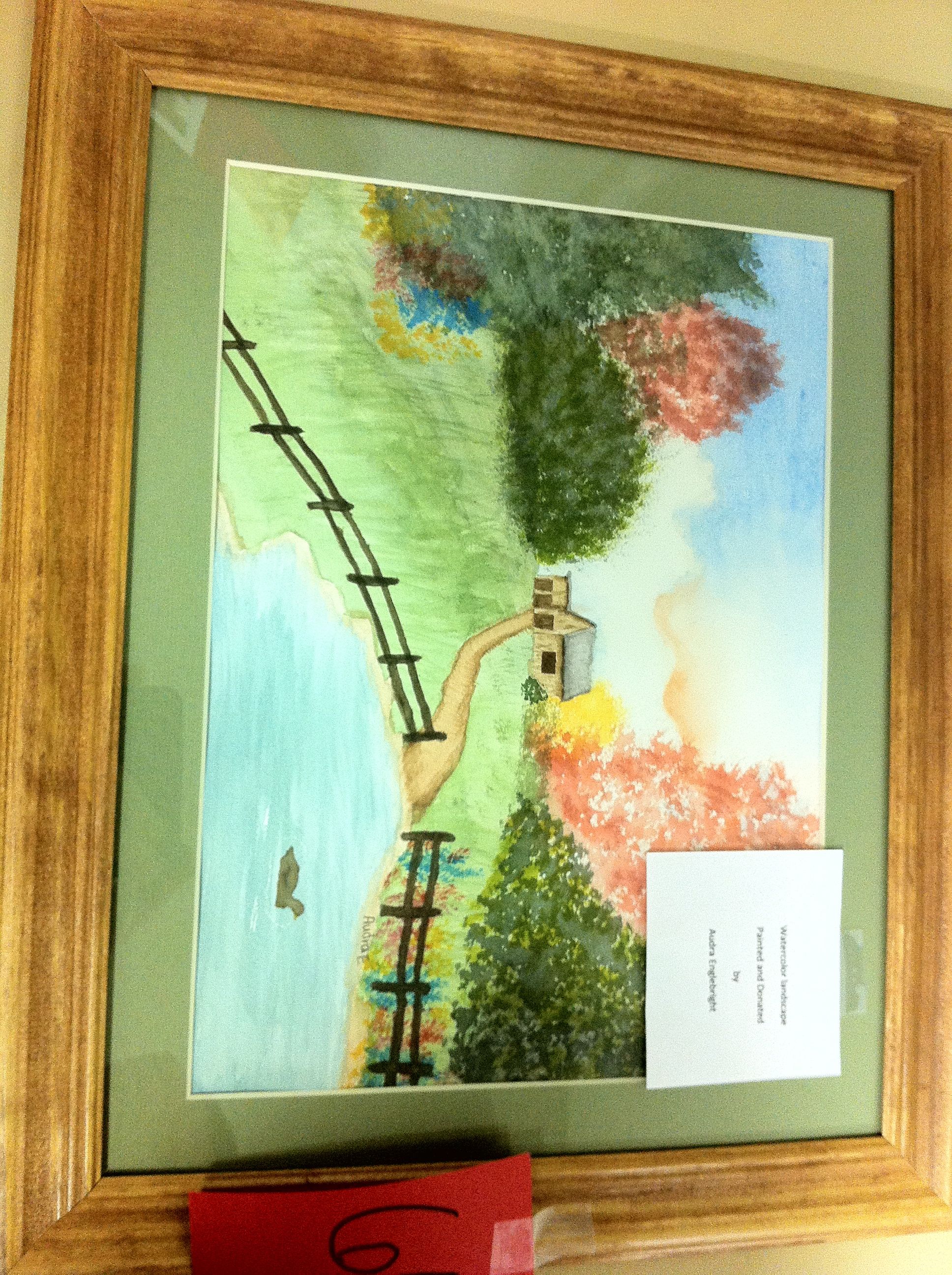
Aurda's Landscape
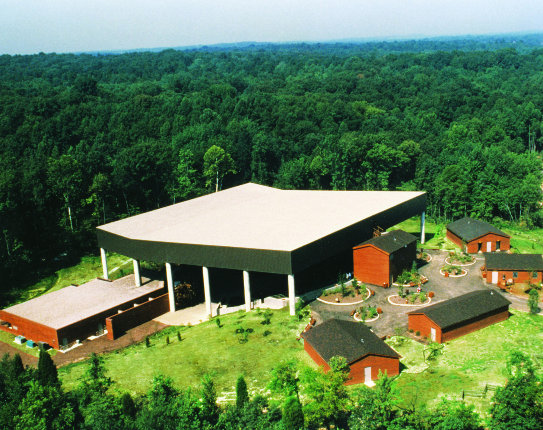
Lincoln State Park
Indiana, Warrick County
Topographic Map of Skelton Township, IN, USA
Find elevation by address:

Places in Skelton Township, IN, USA:
Places near Skelton Township, IN, USA:
Eames Station Rd, Tennyson, IN, USA
N Folsomville Rd, Boonville, IN, USA
Franz Rd, Boonville, IN, USA
S Main St, Tennyson, IN, USA
Tennyson
Ash Iron Rd, Boonville, IN, USA
County Rd N, Gentryville, IN, USA
Grass Township
Jackson Township
Gentryville
12 N Main St, Chrisney, IN, USA
Chrisney
N E, Santa Claus, IN, USA
Spencer County
Clay Township
645 Melchior Dr N
E County Rd N, Lamar, IN, USA
E County Rd N, Lamar, IN, USA
E N, Grandview, IN, USA
Santa Claus
Recent Searches:
- Elevation of Corso Fratelli Cairoli, 35, Macerata MC, Italy
- Elevation of Tallevast Rd, Sarasota, FL, USA
- Elevation of 4th St E, Sonoma, CA, USA
- Elevation of Black Hollow Rd, Pennsdale, PA, USA
- Elevation of Oakland Ave, Williamsport, PA, USA
- Elevation of Pedrógão Grande, Portugal
- Elevation of Klee Dr, Martinsburg, WV, USA
- Elevation of Via Roma, Pieranica CR, Italy
- Elevation of Tavkvetili Mountain, Georgia
- Elevation of Hartfords Bluff Cir, Mt Pleasant, SC, USA