Elevation of S Main St, Tennyson, IN, USA
Location: United States > Indiana > Warrick County > Skelton Township > Tennyson >
Longitude: -87.118629
Latitude: 38.082265
Elevation: 124m / 407feet
Barometric Pressure: 100KPa
Elevation Map:
Satellite Map:
Related Photos:

Warrick County Court House, Boonville, Indiana
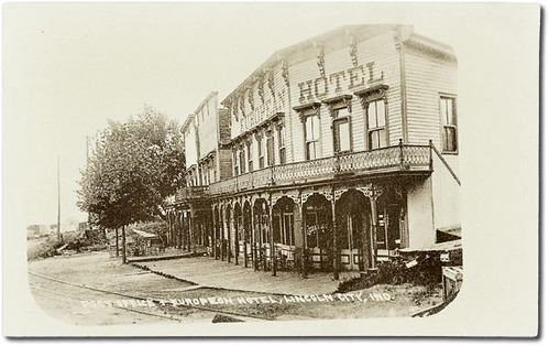
Post Office and European Hotel, Lincoln City, Indiana
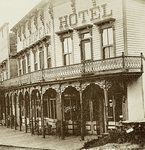
Post Office and European Hotel, Lincoln City, Indiana, section 2
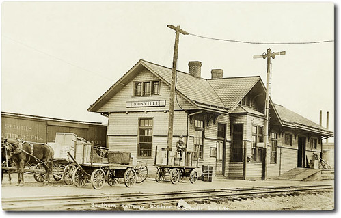
Southern Railway Station, Boonville, Indiana
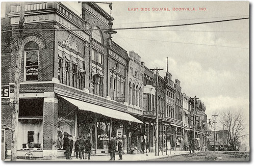
East side of court house square, Boonville, Indiana
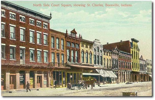
North side of court house square, Boonville, Indiana
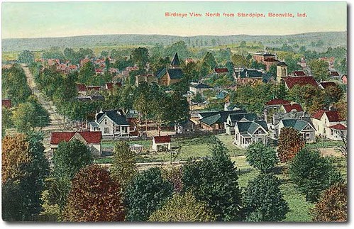
Bird's-eye view west from the standpipe, Boonville, Indiana

U.S. Senator Hemenway residence, Boonville, Indiana

Bidens Aristosa
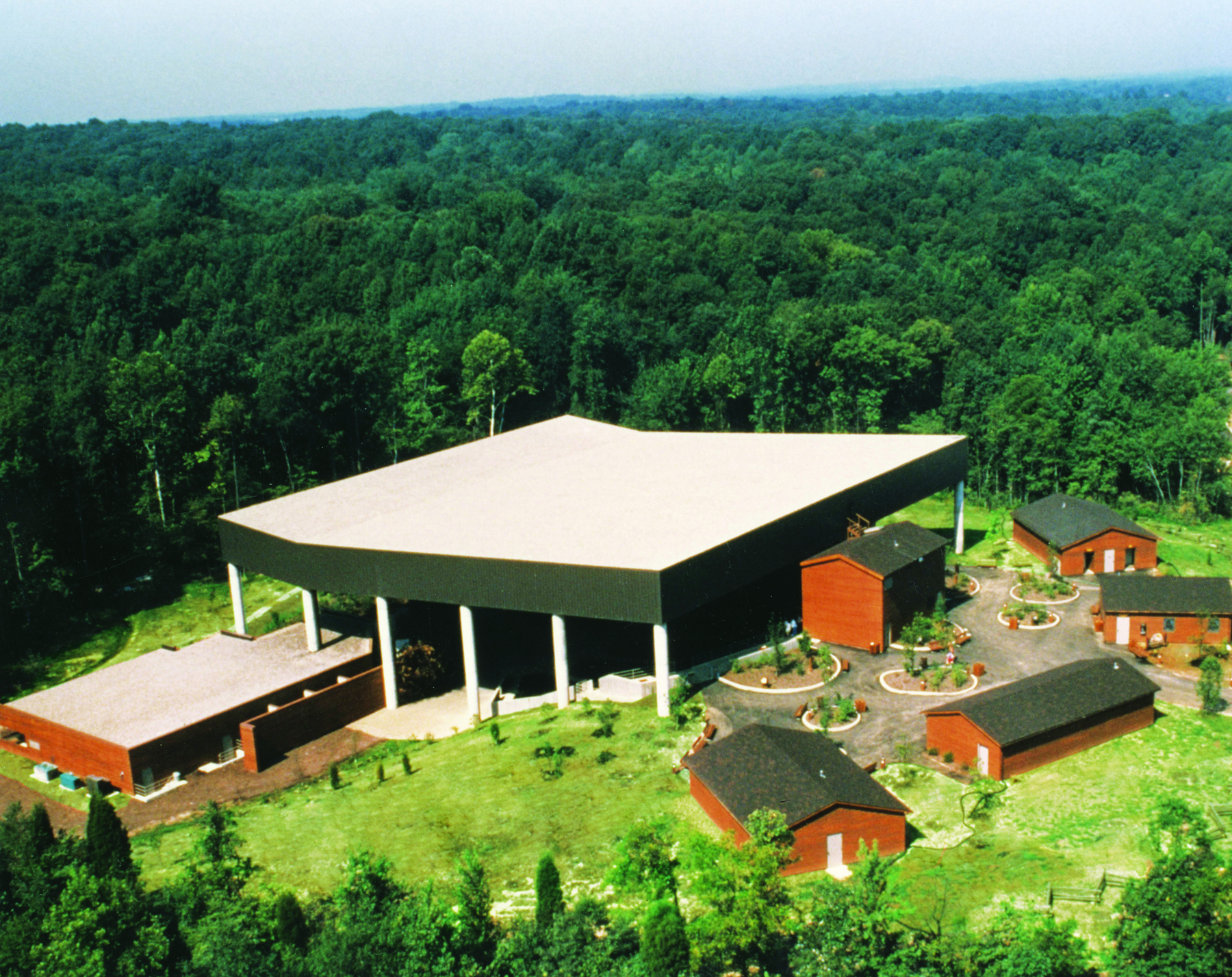
Lincoln Amphitheatre
20080224 Cable Hat Side View
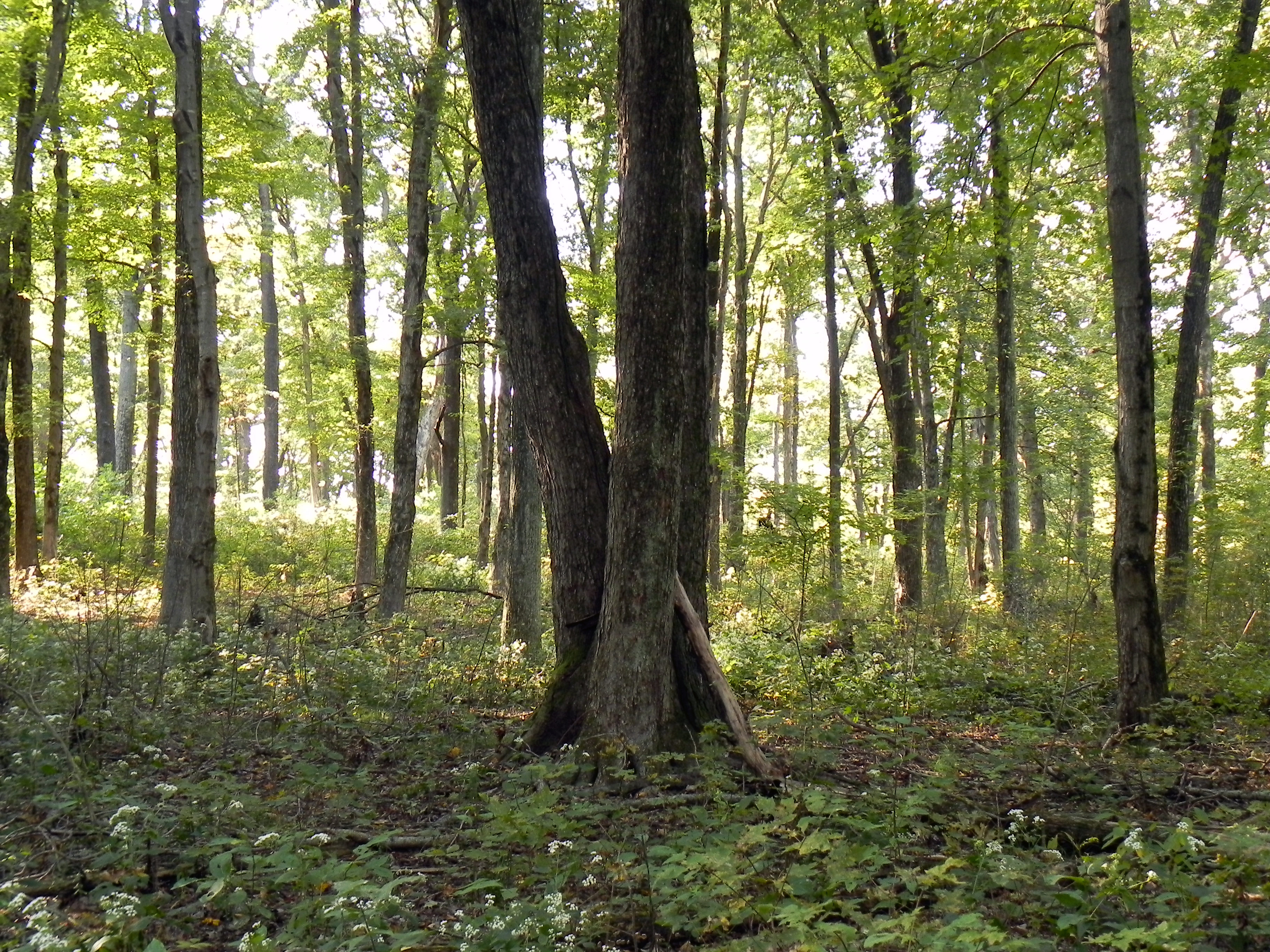
More Trees
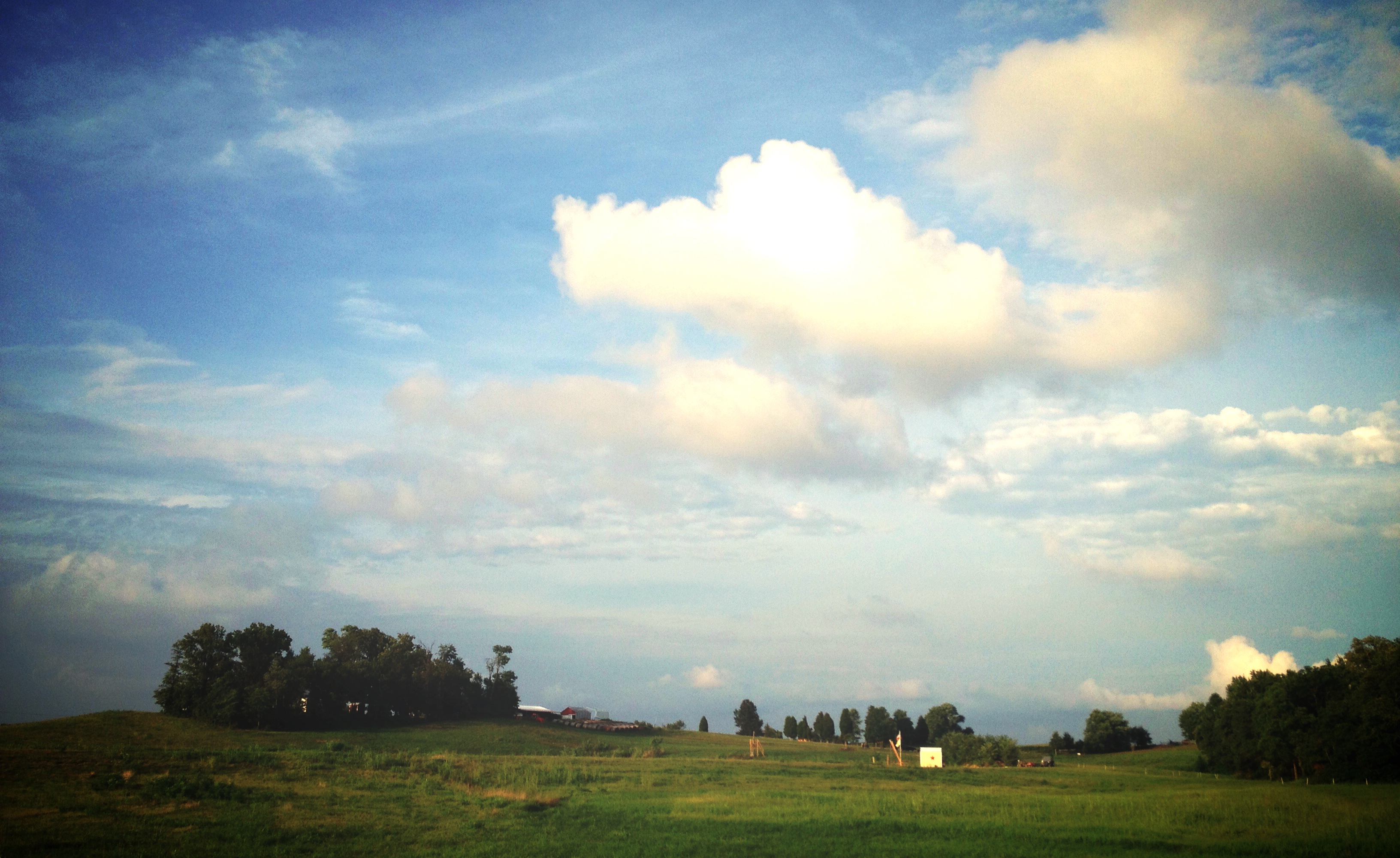
Nowhere, In.
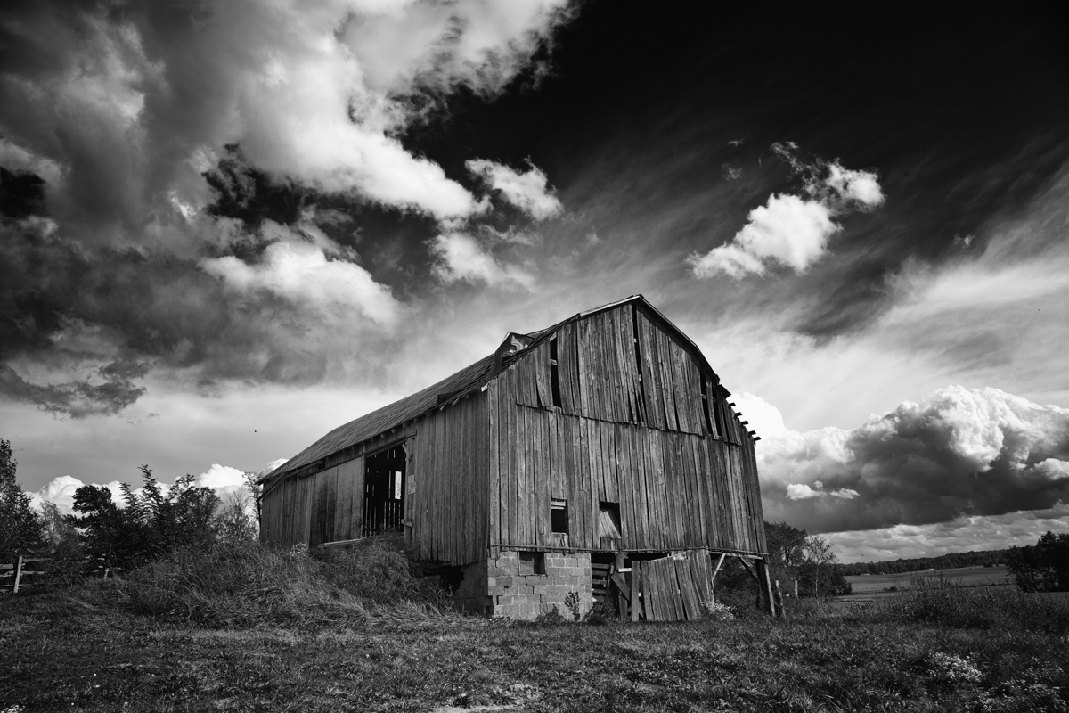
B and W Barn

Another Indiana sunset
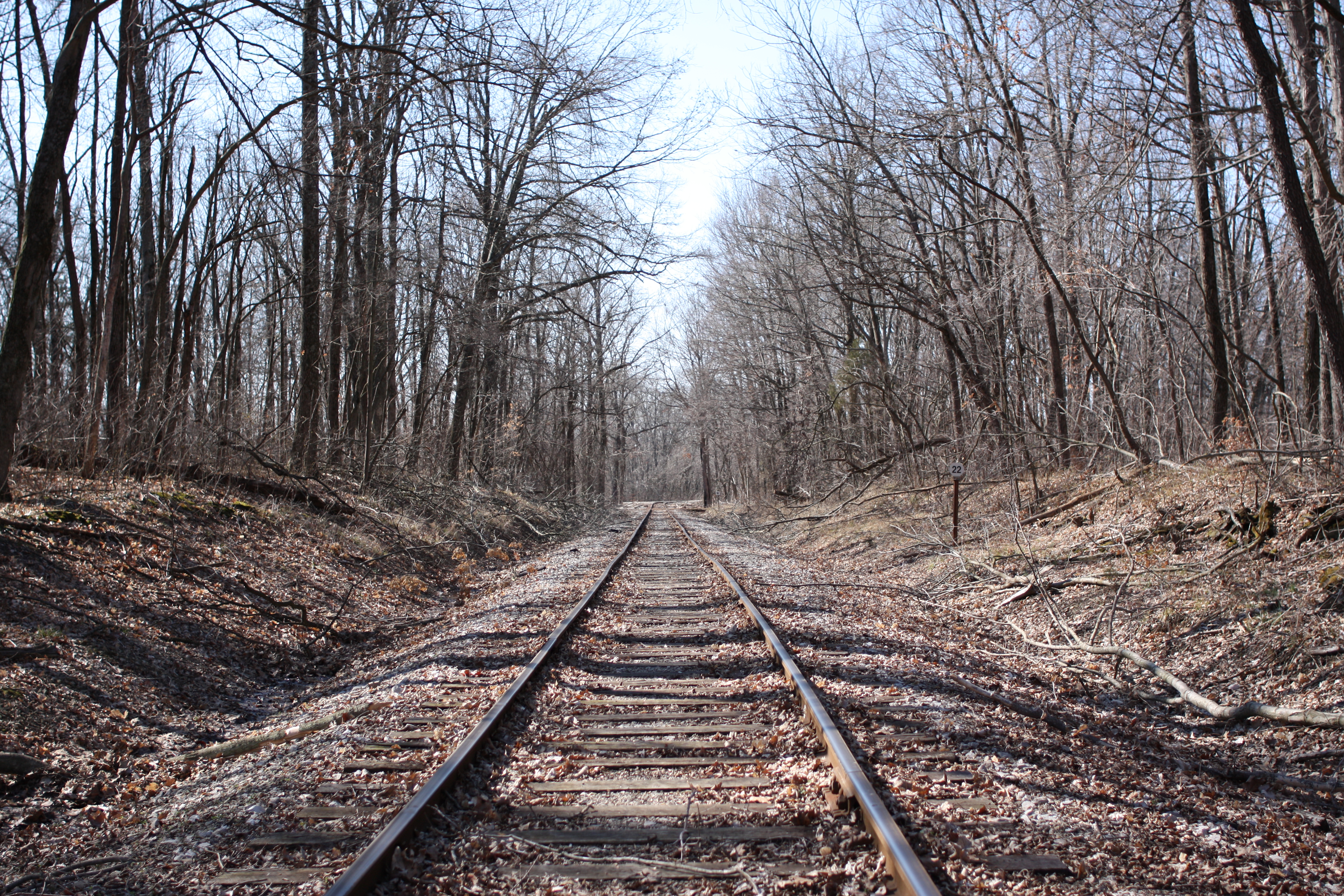
Down by the tracks
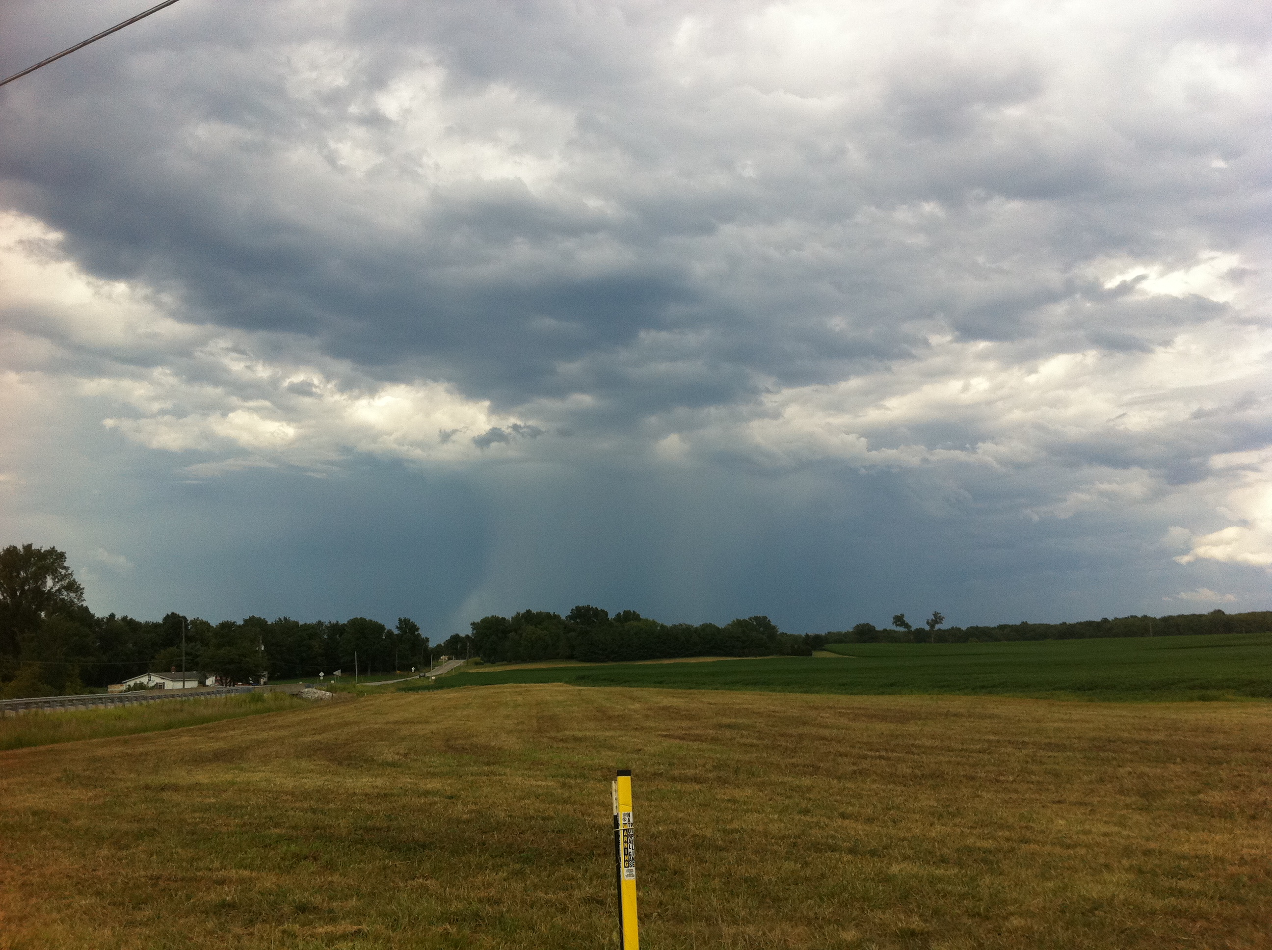
Deluge from a distance
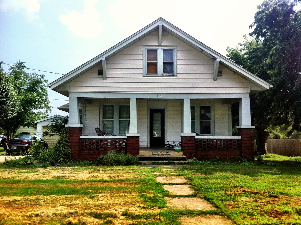
Rita's Old House

Lincoln memorial
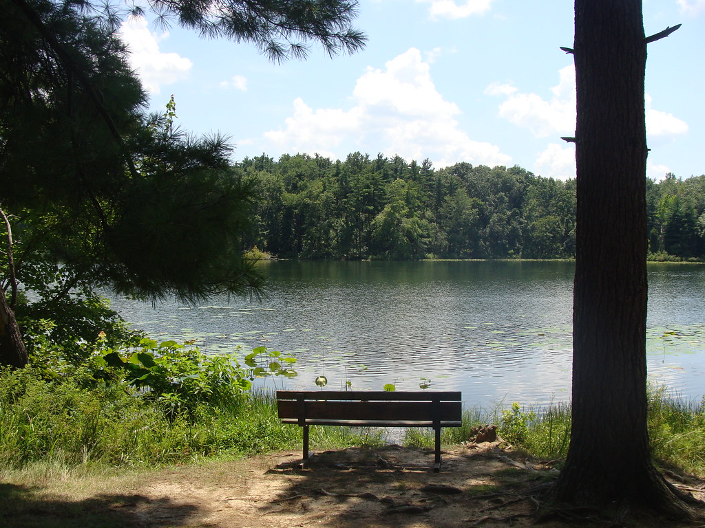
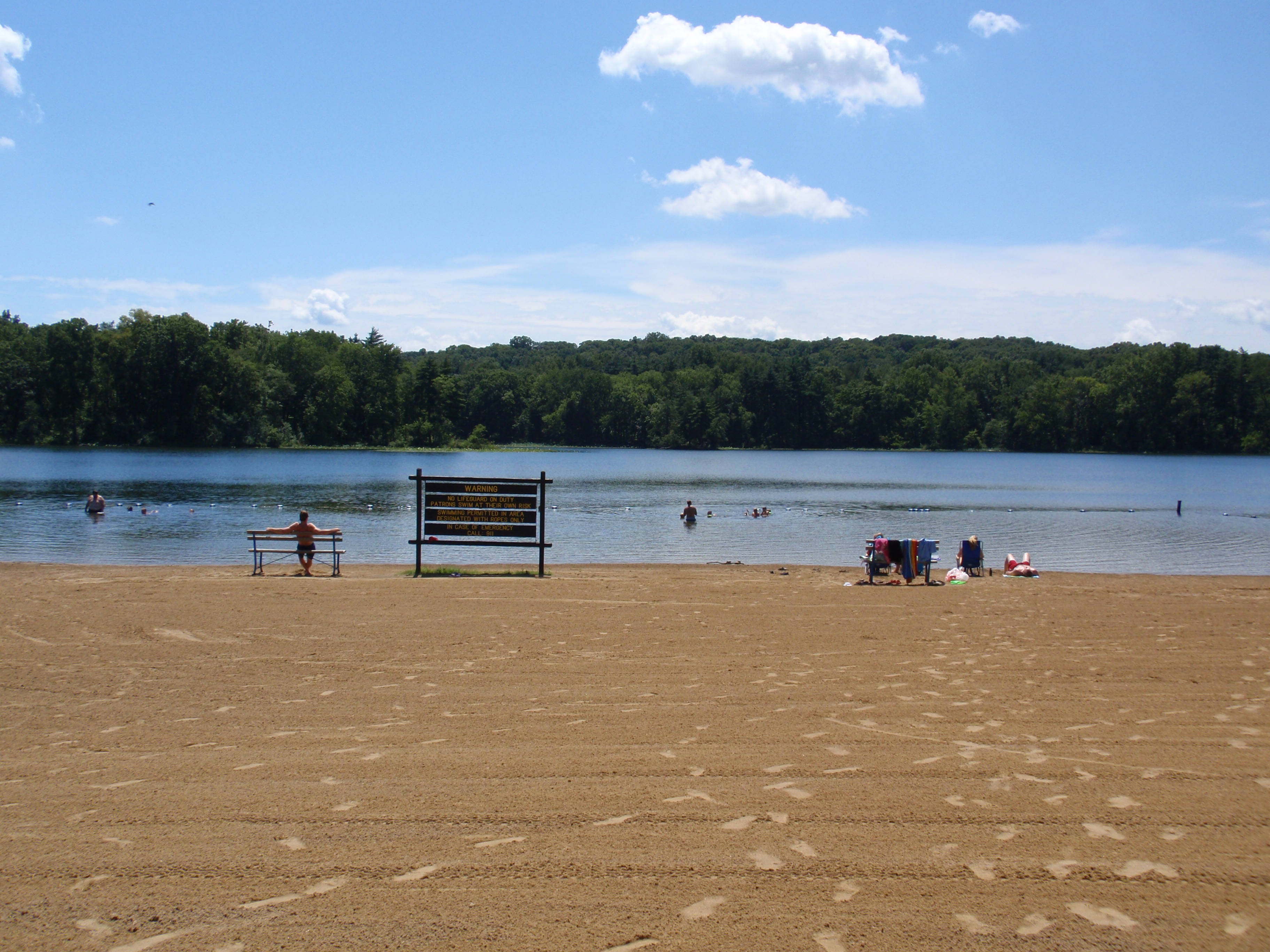
Park Bench
Lilly Pads
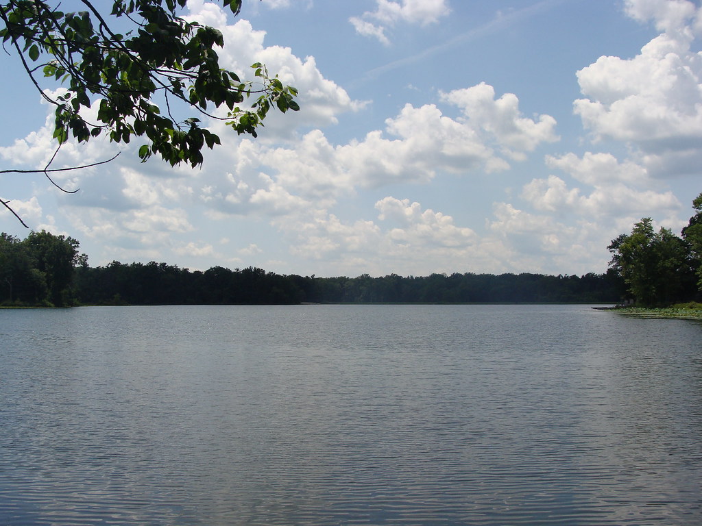
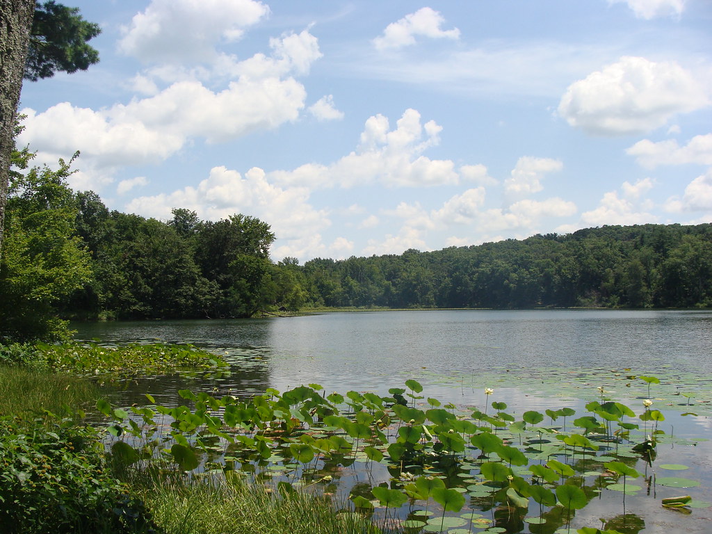
Peaceful Day at the Lake
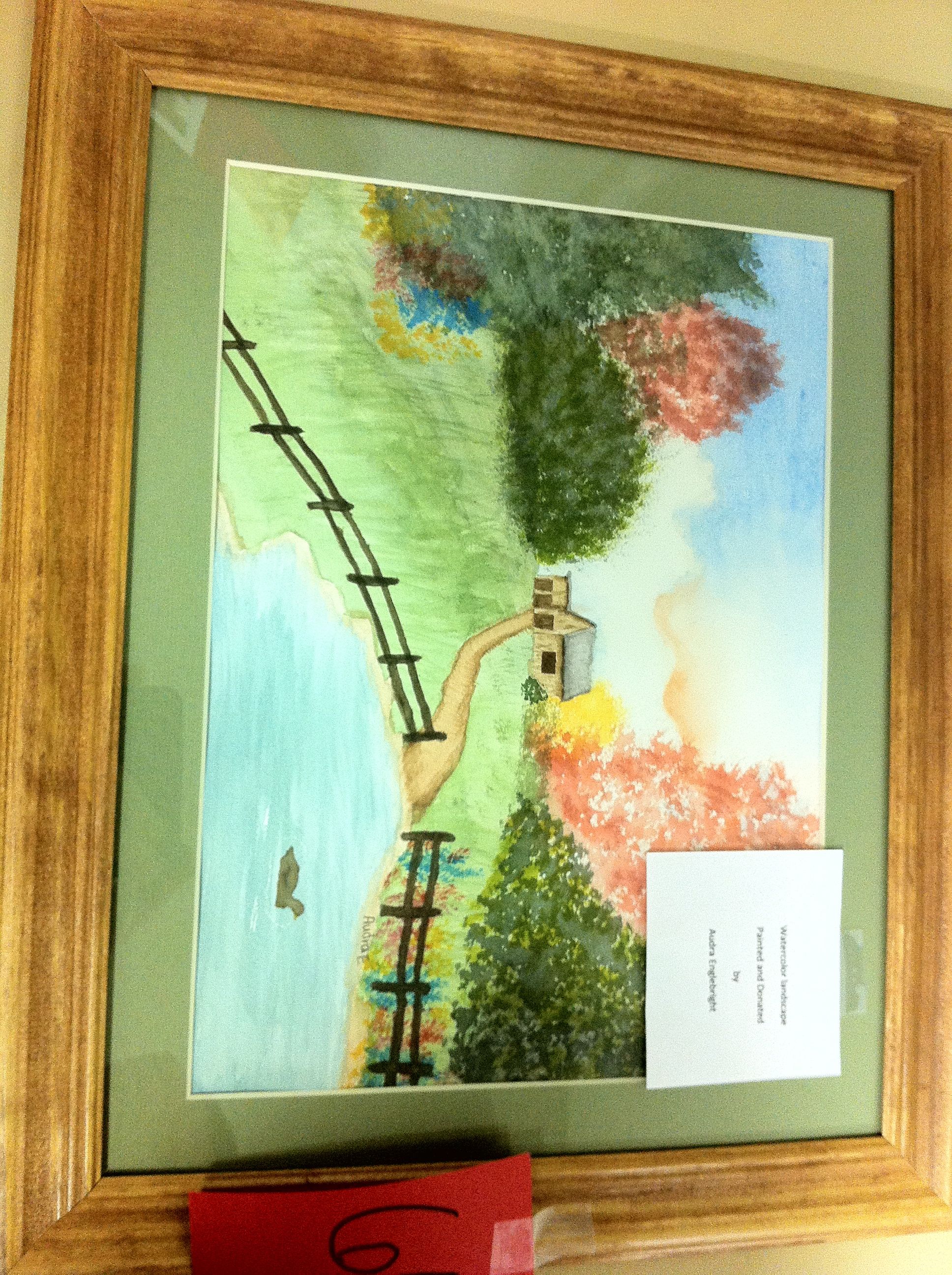
Aurda's Landscape
Lincoln State Park
Topographic Map of S Main St, Tennyson, IN, USA
Find elevation by address:

Places near S Main St, Tennyson, IN, USA:
Tennyson
Eames Station Rd, Tennyson, IN, USA
Skelton Township
County Rd N, Gentryville, IN, USA
N Folsomville Rd, Boonville, IN, USA
Franz Rd, Boonville, IN, USA
Jackson Township
Ash Iron Rd, Boonville, IN, USA
Grass Township
Gentryville
N E, Santa Claus, IN, USA
12 N Main St, Chrisney, IN, USA
Chrisney
Spencer County
Clay Township
645 Melchior Dr N
E County Rd N, Lamar, IN, USA
E County Rd N, Lamar, IN, USA
E N, Grandview, IN, USA
Santa Claus
Recent Searches:
- Elevation of Corso Fratelli Cairoli, 35, Macerata MC, Italy
- Elevation of Tallevast Rd, Sarasota, FL, USA
- Elevation of 4th St E, Sonoma, CA, USA
- Elevation of Black Hollow Rd, Pennsdale, PA, USA
- Elevation of Oakland Ave, Williamsport, PA, USA
- Elevation of Pedrógão Grande, Portugal
- Elevation of Klee Dr, Martinsburg, WV, USA
- Elevation of Via Roma, Pieranica CR, Italy
- Elevation of Tavkvetili Mountain, Georgia
- Elevation of Hartfords Bluff Cir, Mt Pleasant, SC, USA