Elevation of Simla, CO, USA
Location: United States > Colorado > Elbert County >
Longitude: -104.08384
Latitude: 39.1416551
Elevation: 1819m / 5968feet
Barometric Pressure: 81KPa
Elevation Map:
Satellite Map:
Related Photos:

2012.06.07_0029

2012.06.07_0036
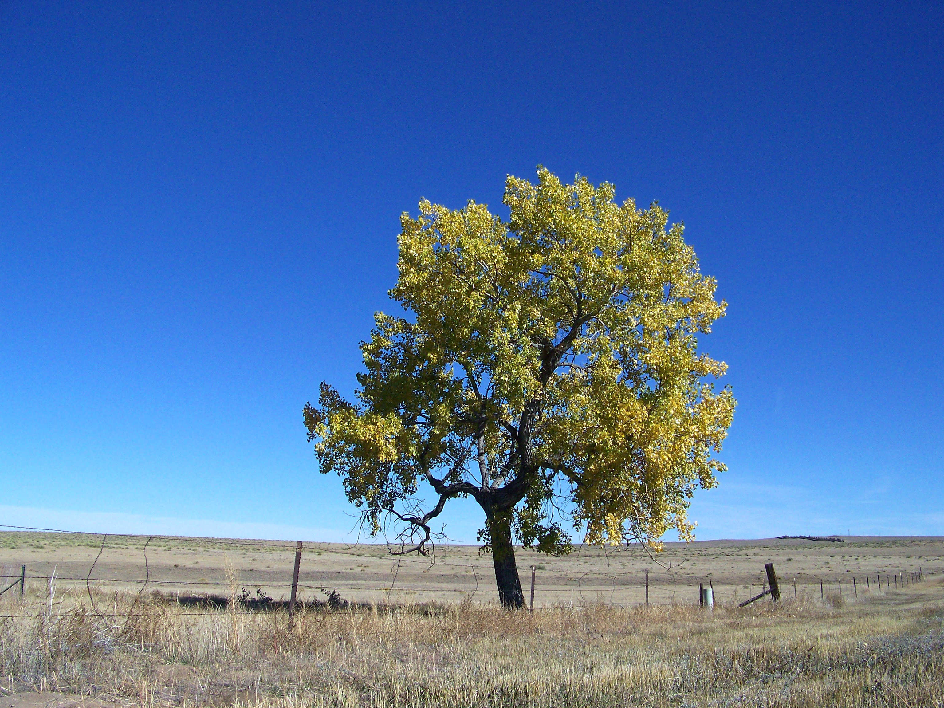
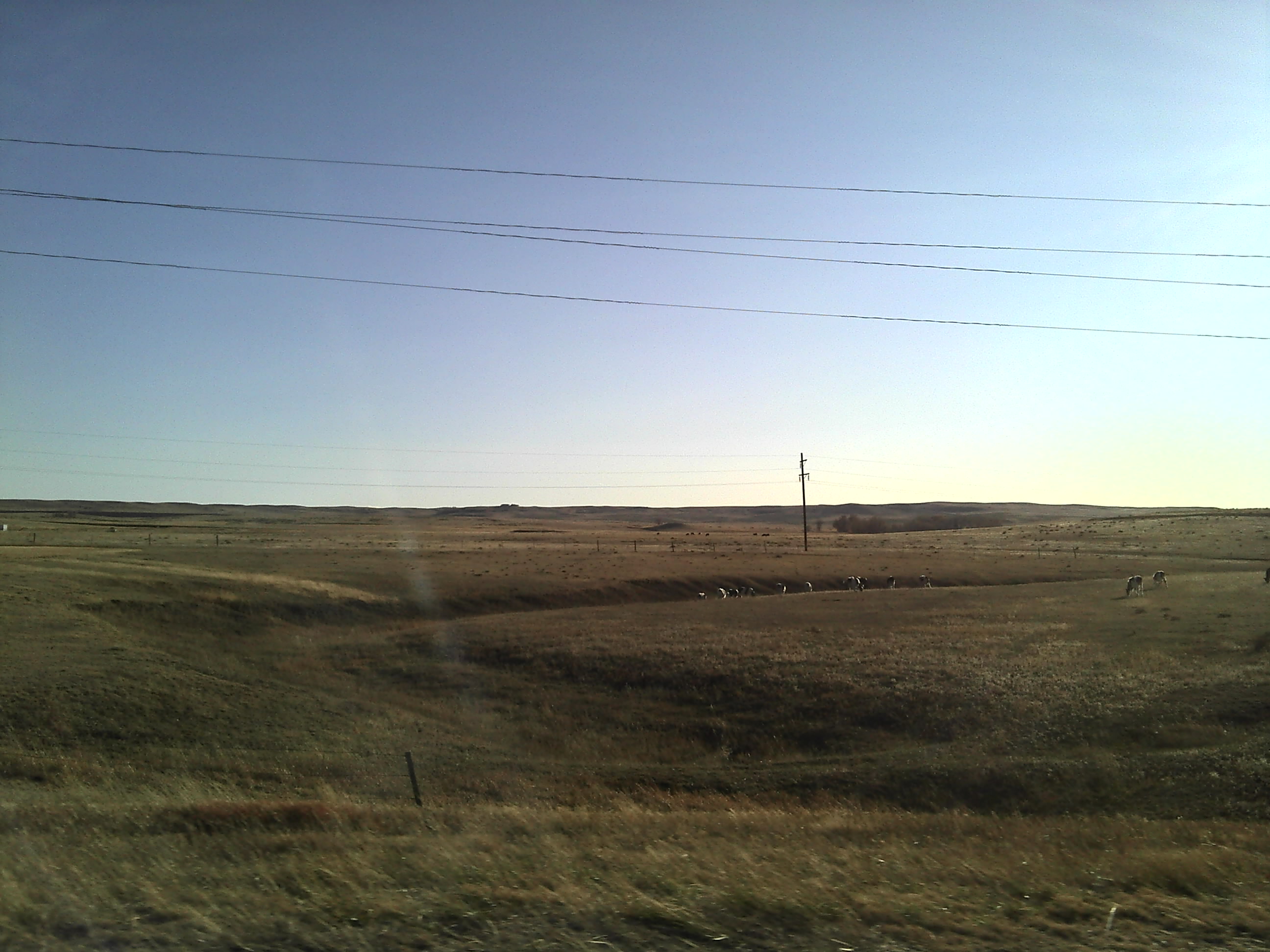
Autumn on the Prairie
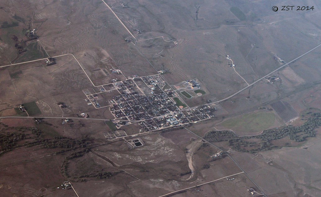
Simla, CO

Christian Bale

the condom wrapper in a dark corner of the louvre
Sent from a Motorola phone

_MG_1083.jpg
Sent from a Motorola phone
Sent from a Motorola phone

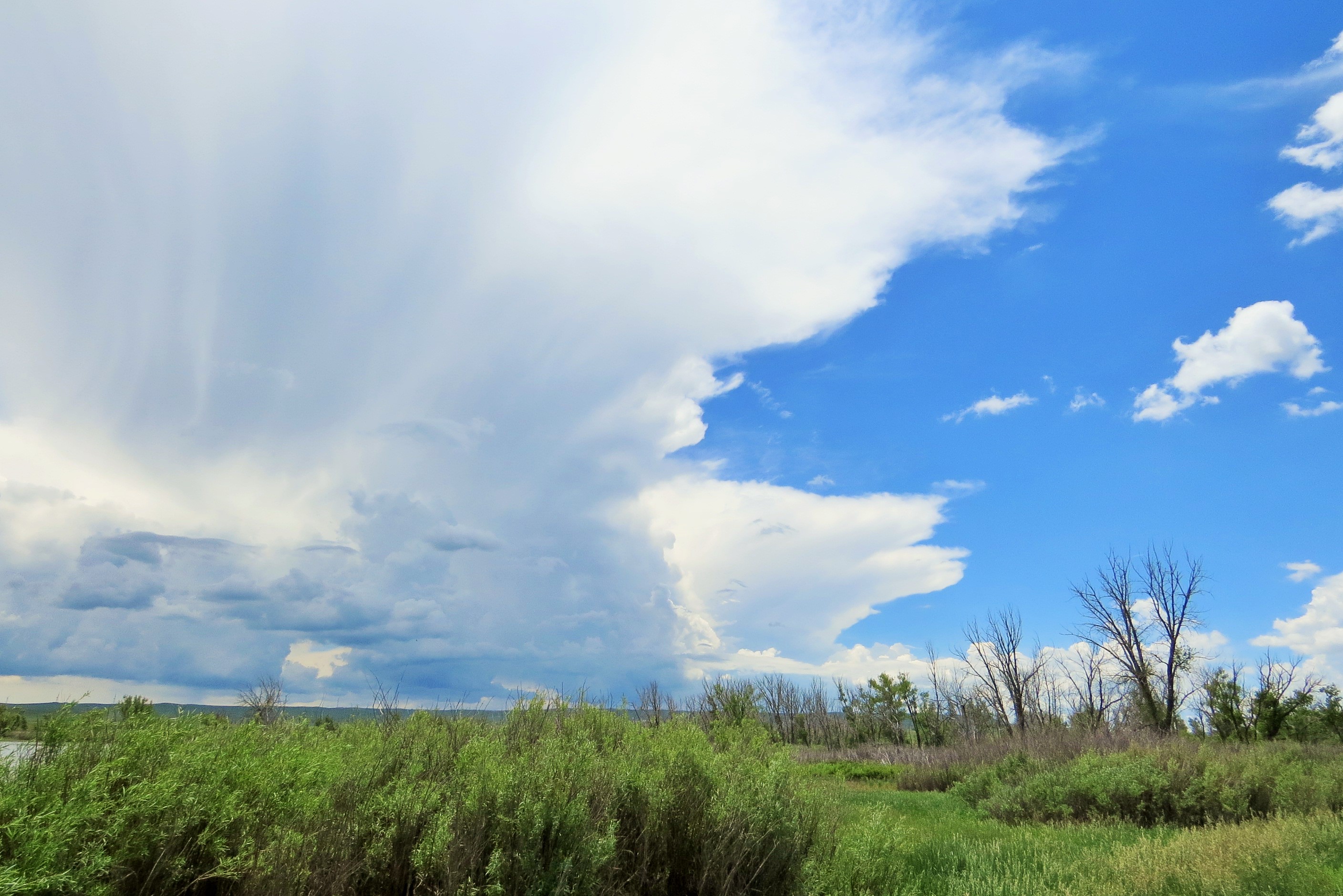
Windy at Ramah
Colorado Dolphin
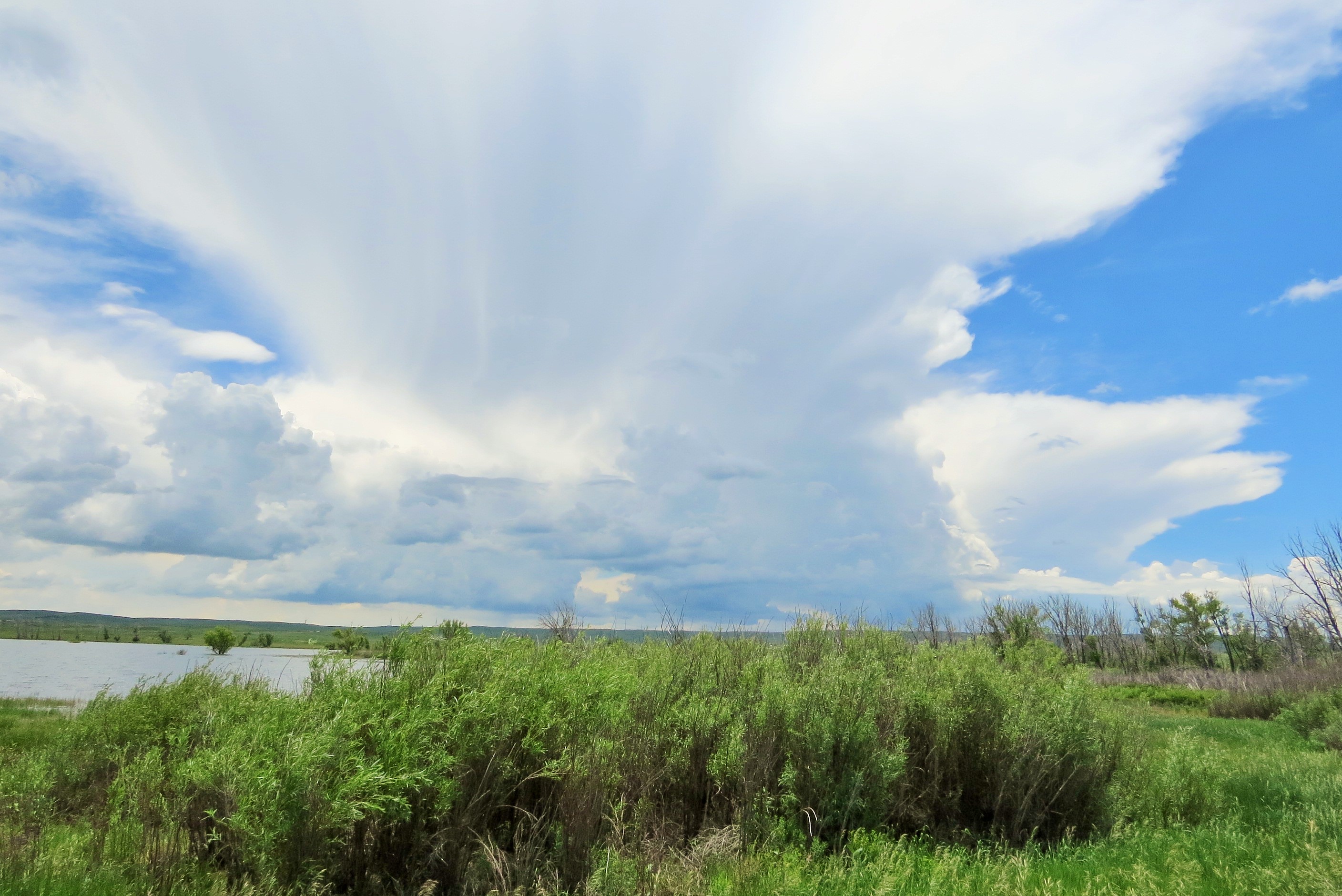
Colorado Dolphin

Rainfall Recovery
Topographic Map of Simla, CO, USA
Find elevation by address:

Places in Simla, CO, USA:
Places near Simla, CO, USA:
Pueblo Ave, Simla, CO, USA
Ramah
Simla, CO, USA
35310 Harrisville Rd
40325 Hoot Owl Rd
10140 Berridge Rd
Big Sandy Creek Road
29415 Calhan Pl
Paint Mines Interpretive Park
Calhan
Calhan
Elbert County
548 Denver St
5355 N Ramah Hwy
5355 Ramah Hwy
26590 Ramah Rd W
North Calhan Highway
3455 N Yoder Rd
25106 Kobilan Rd
37480 Co-94
Recent Searches:
- Elevation of Corso Fratelli Cairoli, 35, Macerata MC, Italy
- Elevation of Tallevast Rd, Sarasota, FL, USA
- Elevation of 4th St E, Sonoma, CA, USA
- Elevation of Black Hollow Rd, Pennsdale, PA, USA
- Elevation of Oakland Ave, Williamsport, PA, USA
- Elevation of Pedrógão Grande, Portugal
- Elevation of Klee Dr, Martinsburg, WV, USA
- Elevation of Via Roma, Pieranica CR, Italy
- Elevation of Tavkvetili Mountain, Georgia
- Elevation of Hartfords Bluff Cir, Mt Pleasant, SC, USA