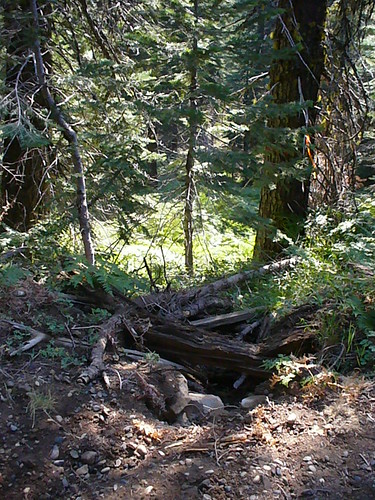
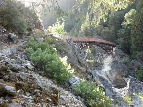
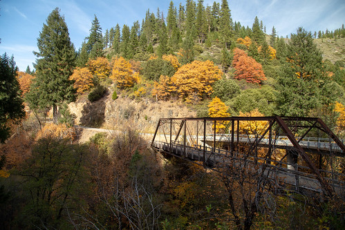
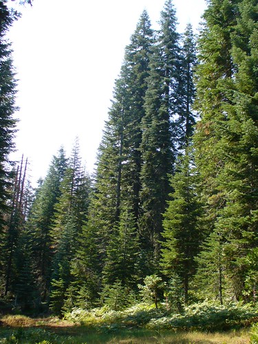
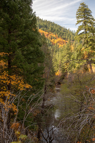
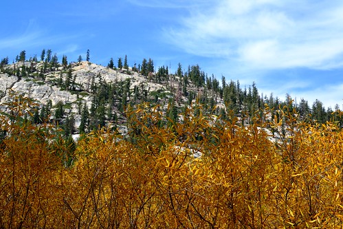
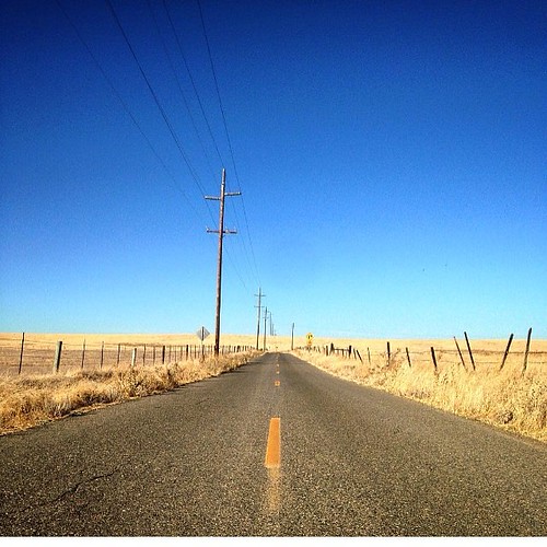
Elevation of Silvertip Springs Road, Silvertip Springs Rd, California, USA
Location: United States > California > Plumas County > Little Grass Valley >
Longitude: -120.97515
Latitude: 39.7455432
Elevation: 1581m / 5187feet
Barometric Pressure: 84KPa
Related Photos:
Topographic Map of Silvertip Springs Road, Silvertip Springs Rd, California, USA
Find elevation by address:

Places near Silvertip Springs Road, Silvertip Springs Rd, California, USA:
Little Grass Valley
La Porte
La Porte Rd, Strawberry Valley, CA, USA
Quincy
Meadow Valley
Bucks Lake Rd, Meadow Valley, CA, USA
La Porte Rd, Strawberry Valley, CA, USA
Sly Creek 63-006 Dam
Brandy City Rd, Camptonville, CA, USA
Strawberry Valley
Bucks Lake
Cottonwood Ct, Quincy, CA, USA
Bucklin Rd, Quincy, CA, USA
Joubert Road
Bucks Lake
Oak Valley
Oak Valley Rd, Camptonville, CA, USA
12725 La Porte Rd
Camp Paradise
11412 Siesta Cir
Recent Searches:
- Elevation of Corso Fratelli Cairoli, 35, Macerata MC, Italy
- Elevation of Tallevast Rd, Sarasota, FL, USA
- Elevation of 4th St E, Sonoma, CA, USA
- Elevation of Black Hollow Rd, Pennsdale, PA, USA
- Elevation of Oakland Ave, Williamsport, PA, USA
- Elevation of Pedrógão Grande, Portugal
- Elevation of Klee Dr, Martinsburg, WV, USA
- Elevation of Via Roma, Pieranica CR, Italy
- Elevation of Tavkvetili Mountain, Georgia
- Elevation of Hartfords Bluff Cir, Mt Pleasant, SC, USA


