Elevation of Silverbell West, AZ, USA
Location: United States > Arizona > Pima County > Marana >
Longitude: -111.2681076
Latitude: 32.4322233
Elevation: 601m / 1972feet
Barometric Pressure: 0KPa
Related Photos:

The Crawlers
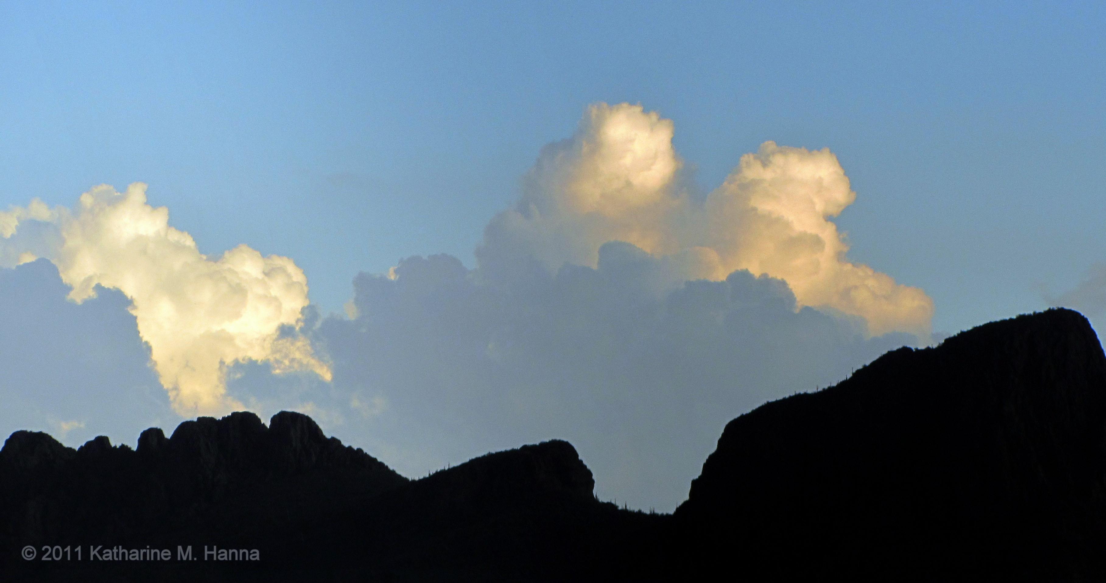
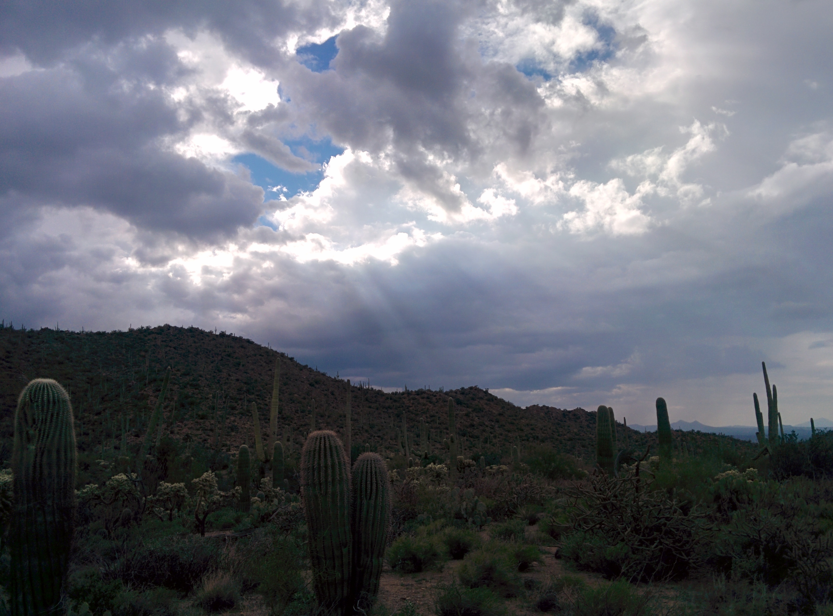
Monsoon clouds over Picture Rocks.

Monsoon clouds over Picture Rocks, #2.

Incoming in Arizona

Scrapline at Pinal Air Park, Marana. 9th Feb 2014

Hangar line at Pinal Air Park, Marana. 9th Feb 2014
Quarry near Picture Rocks, AZ

World View
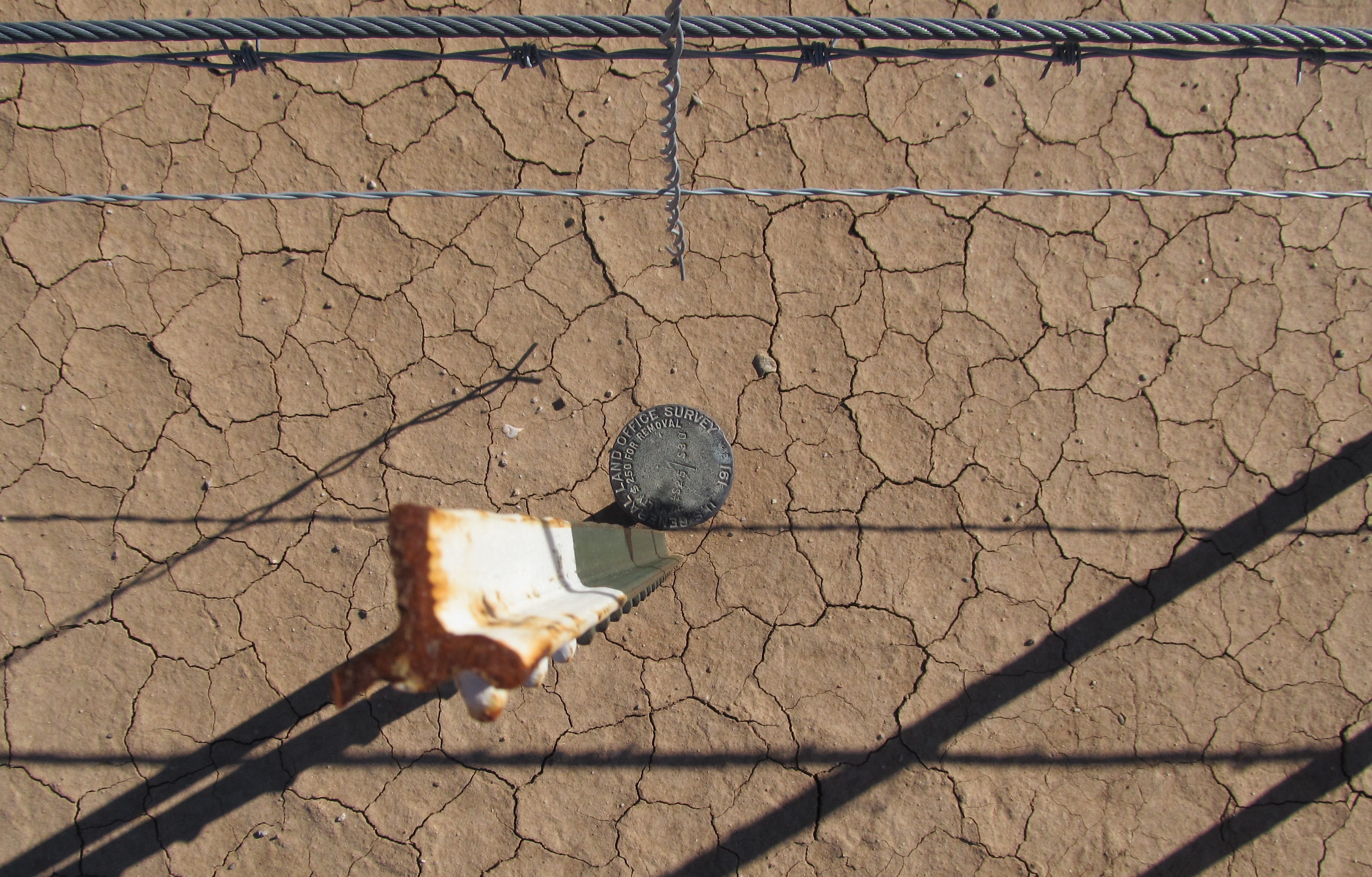
Quarter Section Monument
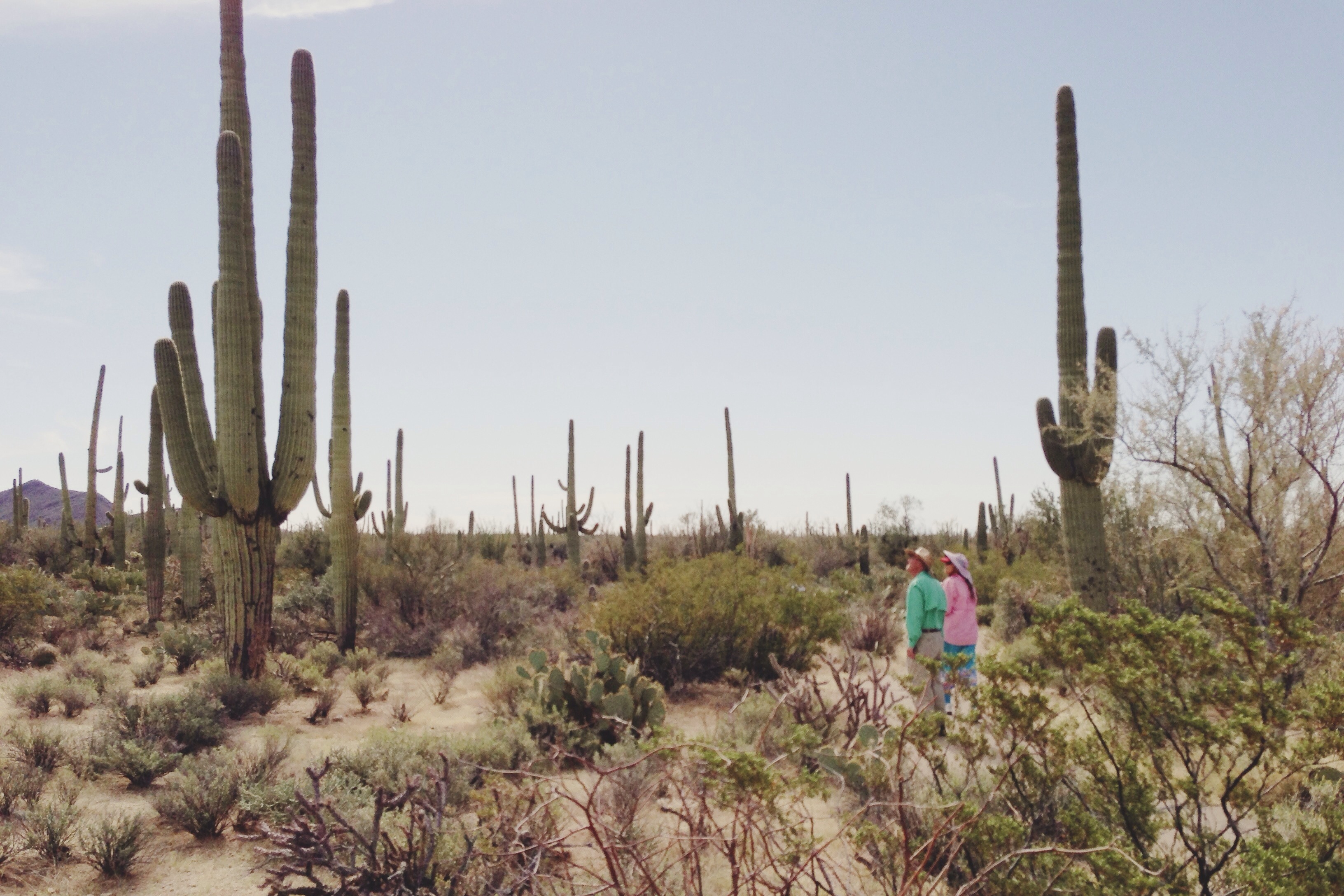
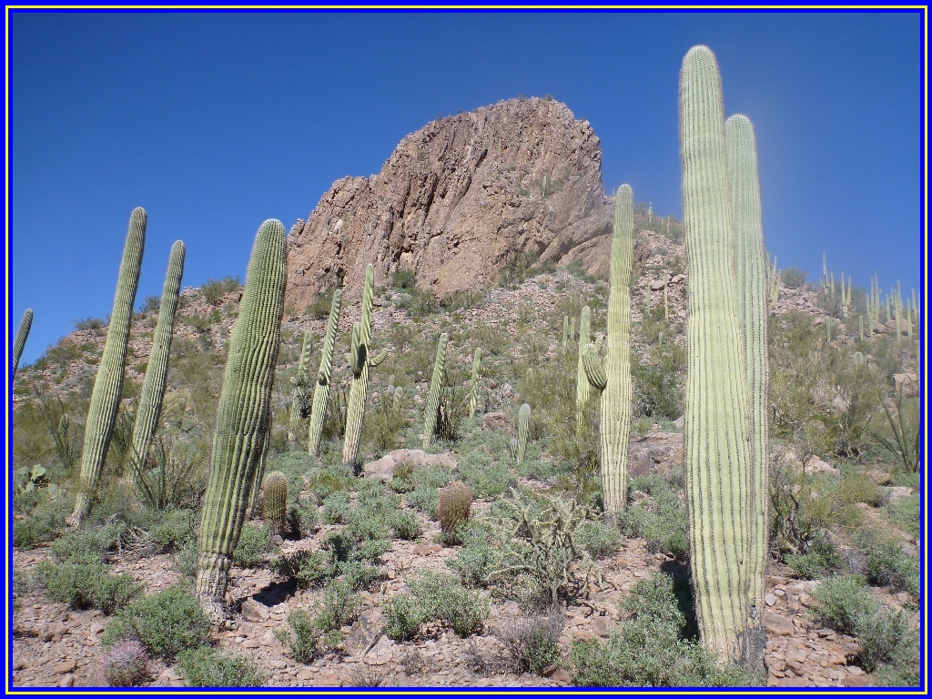
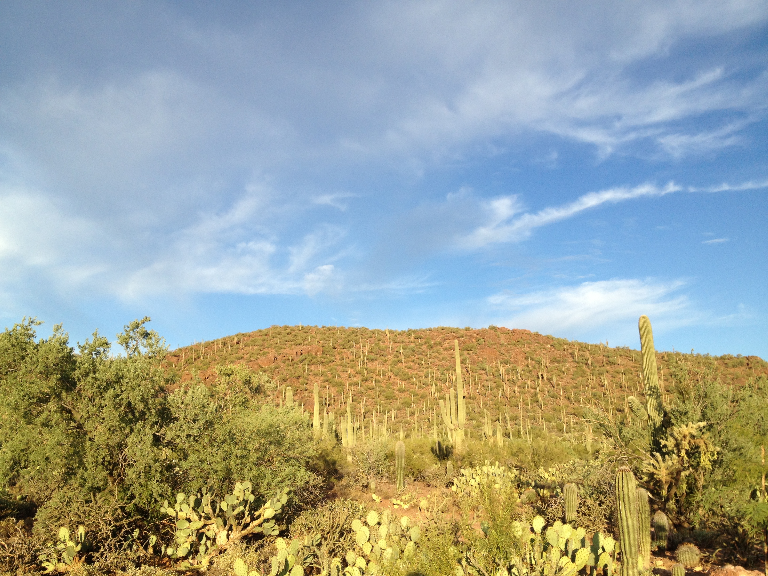
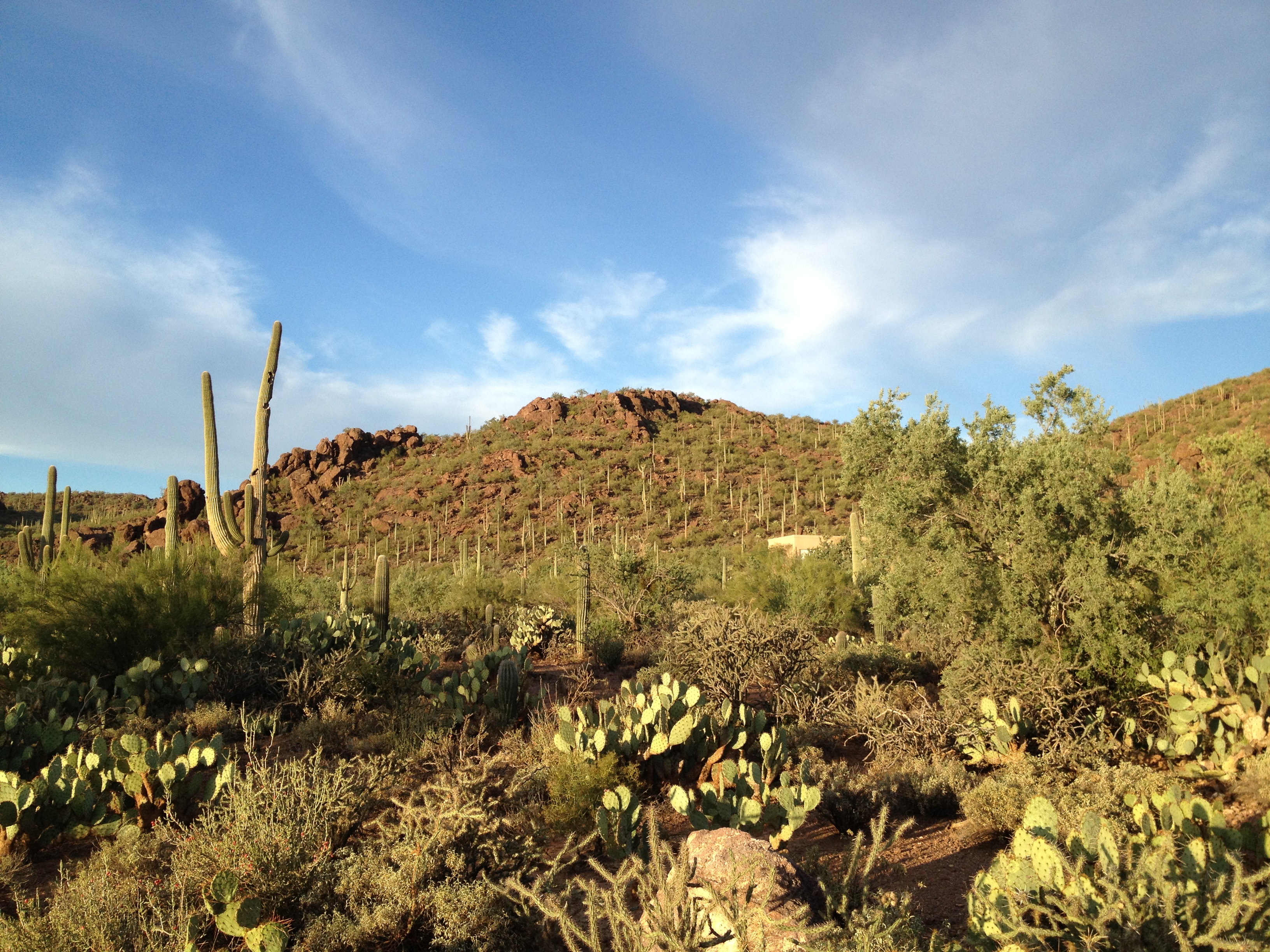
Saguaro viewing

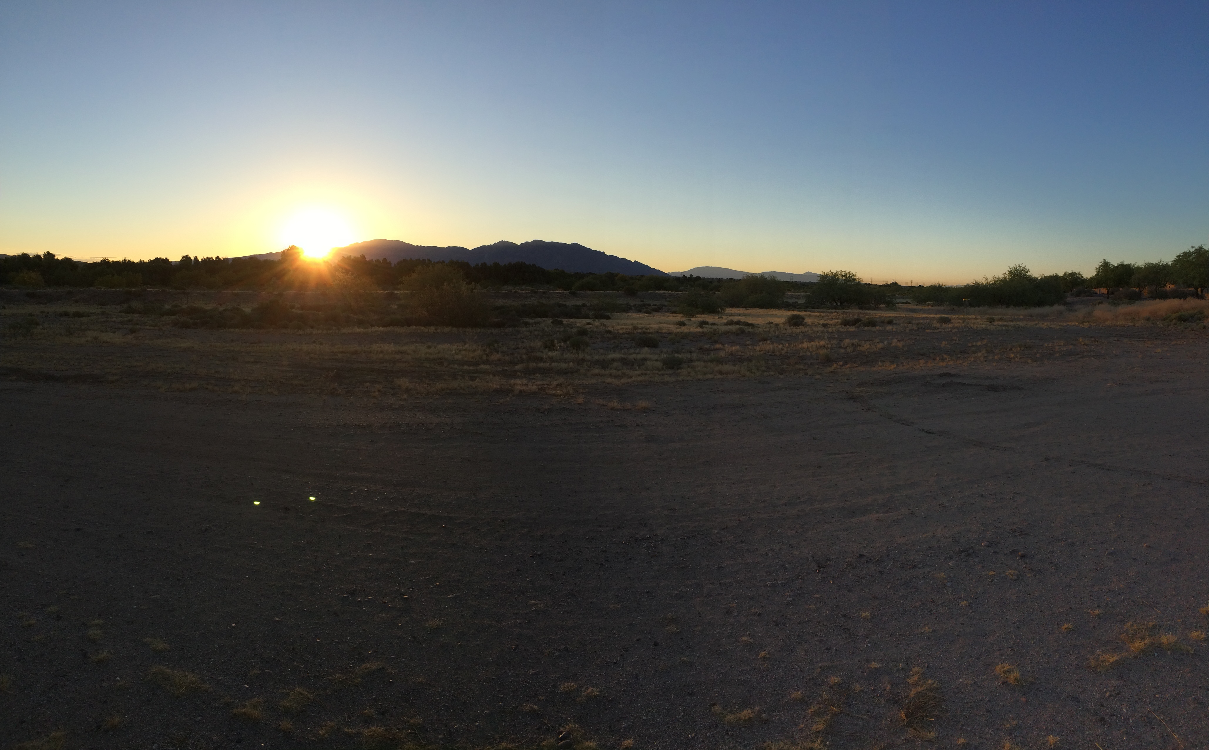
Moonlit Landscape

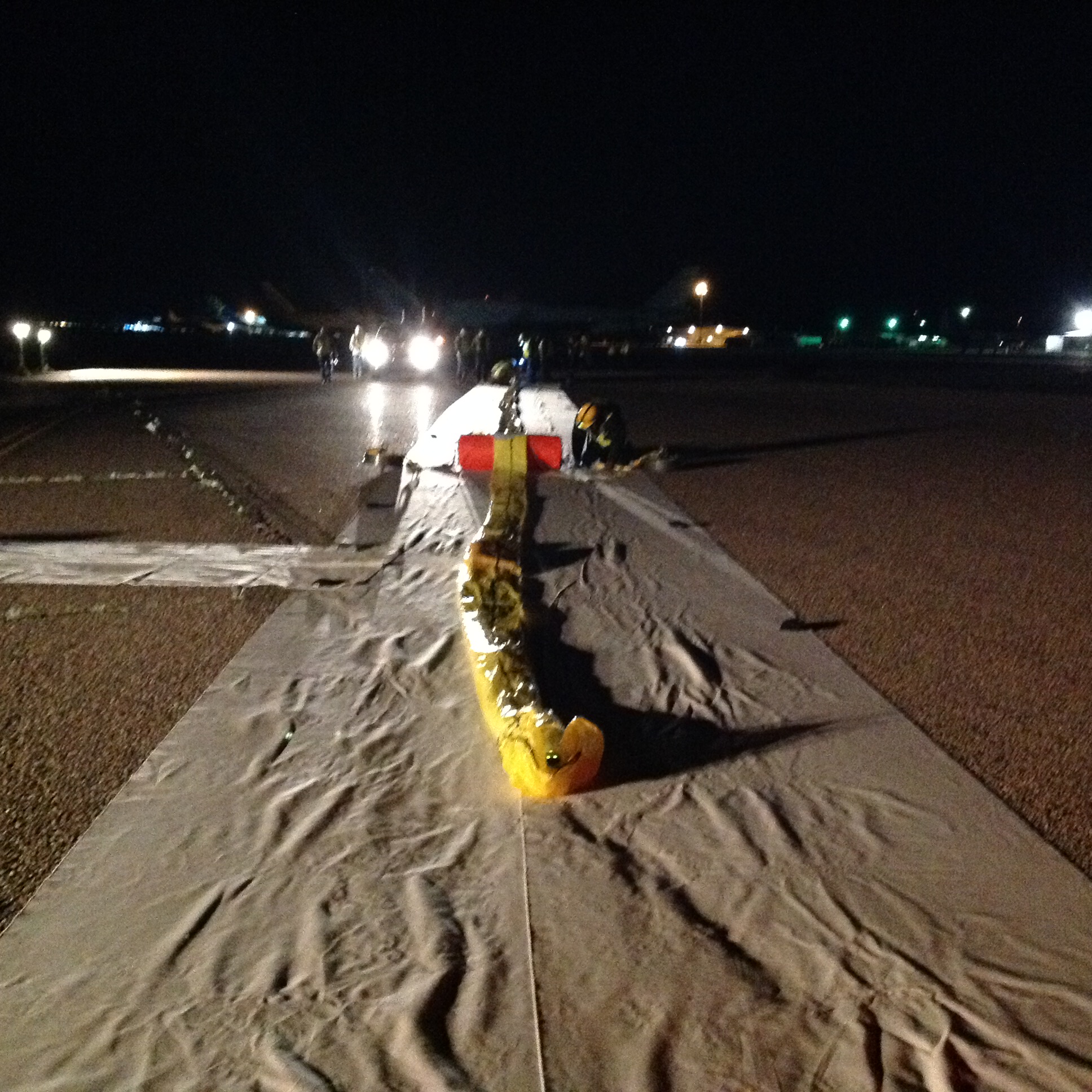
Pinal Air Park
0583 - Tuscon - Saguaro National Park (West) - Along the Panther Wash Track - View from our Lunch Stop

World View
World View
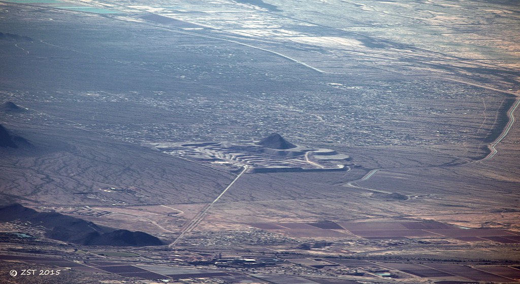
Coachline Gravel Pit
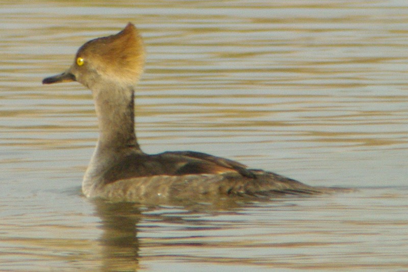
Hooded Merganser

World View
World View

World View

World View

AirMail - Picture Rocks, Arizona
Saguaro National Park, Arizona

Picacho Peak
Saguaro National Park

Gila Woodpecker Silhouette

Coming Our Way

Various Tucson bike rides

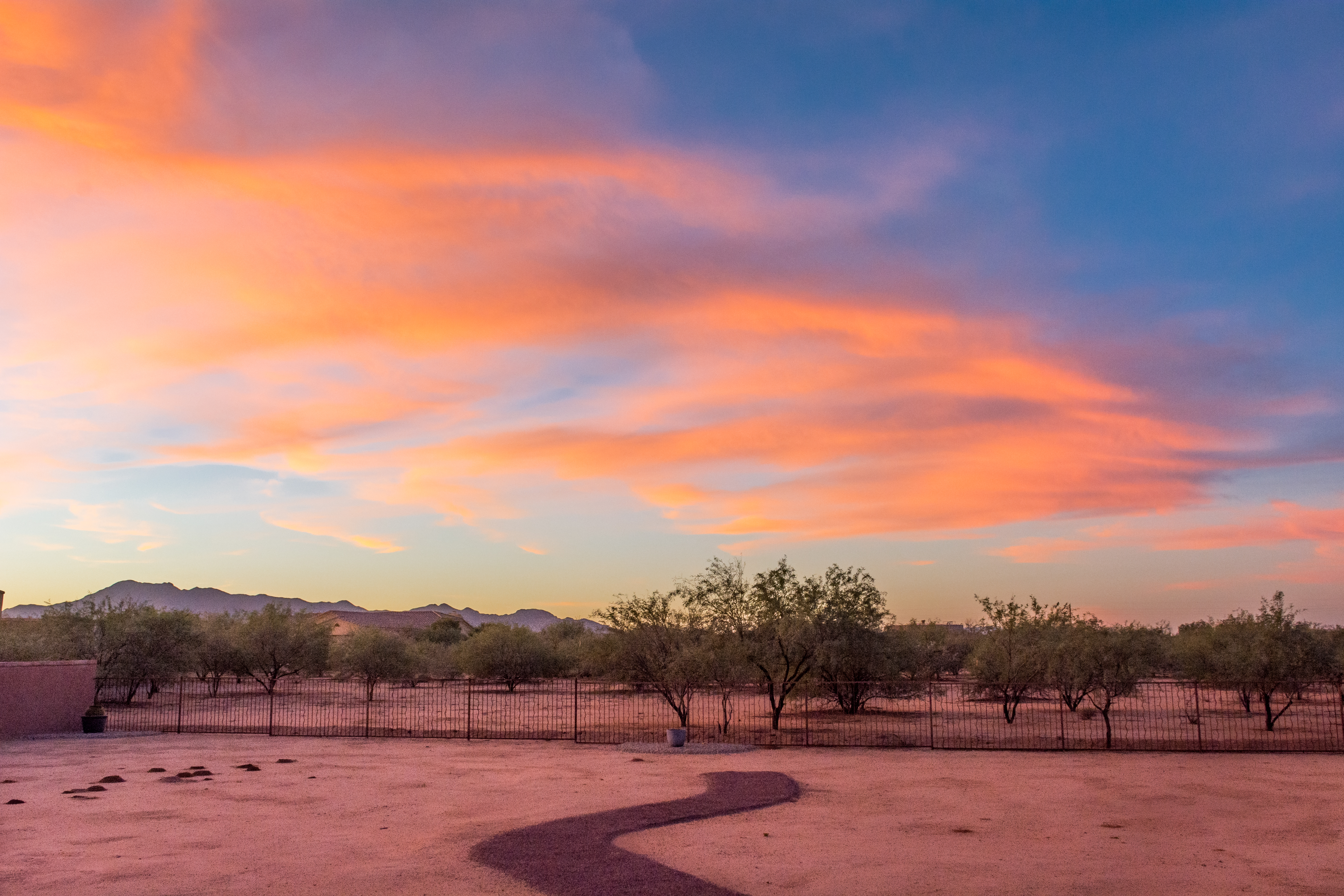
Thunder in the distance

747 Heaven! - Pinal Air Park
1-AC Lot 180° Panorama
Arizona hikes

Flame painting

Eye of the storm
_QSC2164.jpg

Yellow-headed Blackbird flock
Various Tucson bike rides

Truck_082612_LR-183.jpg
Various Tucson bike rides
Coachline Gravel Pit
Topographic Map of Silverbell West, AZ, USA
Find elevation by address:

Places in Silverbell West, AZ, USA:
Places near Silverbell West, AZ, USA:
W Silverbell Rd, Marana, AZ, USA
Nelson
Marana
W Hardin Rd, Marana, AZ, USA
11130 N Waite Rd
16151 W Spur Bell Ln
11750 Boll Bloom Dr
12678 N Maize Dr
12840 N Flintlock Rd
11578 W Foxberry Dr
11733 W Watz Pl
Roadrunner Elementary School
16475 W Spur Bell Ln
10113 N Avra Vista Dr
Rancho Del Sol Lindo
San Lucas
Gladden Farms
16962 W Lambert Ln
Picture Rocks
N David Ave, Marana, AZ, USA
Recent Searches:
- Elevation map of Greenland, Greenland
- Elevation of Sullivan Hill, New York, New York, 10002, USA
- Elevation of Morehead Road, Withrow Downs, Charlotte, Mecklenburg County, North Carolina, 28262, USA
- Elevation of 2800, Morehead Road, Withrow Downs, Charlotte, Mecklenburg County, North Carolina, 28262, USA
- Elevation of Yangbi Yi Autonomous County, Yunnan, China
- Elevation of Pingpo, Yangbi Yi Autonomous County, Yunnan, China
- Elevation of Mount Malong, Pingpo, Yangbi Yi Autonomous County, Yunnan, China
- Elevation map of Yongping County, Yunnan, China
- Elevation of North 8th Street, Palatka, Putnam County, Florida, 32177, USA
- Elevation of 107, Big Apple Road, East Palatka, Putnam County, Florida, 32131, USA
- Elevation of Jiezi, Chongzhou City, Sichuan, China
- Elevation of Chongzhou City, Sichuan, China
- Elevation of Huaiyuan, Chongzhou City, Sichuan, China
- Elevation of Qingxia, Chengdu, Sichuan, China
- Elevation of Corso Fratelli Cairoli, 35, Macerata MC, Italy
- Elevation of Tallevast Rd, Sarasota, FL, USA
- Elevation of 4th St E, Sonoma, CA, USA
- Elevation of Black Hollow Rd, Pennsdale, PA, USA
- Elevation of Oakland Ave, Williamsport, PA, USA
- Elevation of Pedrógão Grande, Portugal