Elevation of Rancho Del Sol Lindo, Avra Valley, AZ, USA
Location: United States > Arizona > Pima County > Marana >
Longitude: -111.32921
Latitude: 32.4119882
Elevation: 599m / 1965feet
Barometric Pressure: 94KPa
Elevation Map:
Satellite Map:
Related Photos:

The Crawlers

Incoming in Arizona
Monsoon clouds over Picture Rocks.

Saguaro viewing

Hangar line at Pinal Air Park, Marana. 9th Feb 2014

Scrapline at Pinal Air Park, Marana. 9th Feb 2014

Pinal Air Park

AO3 Floodzone

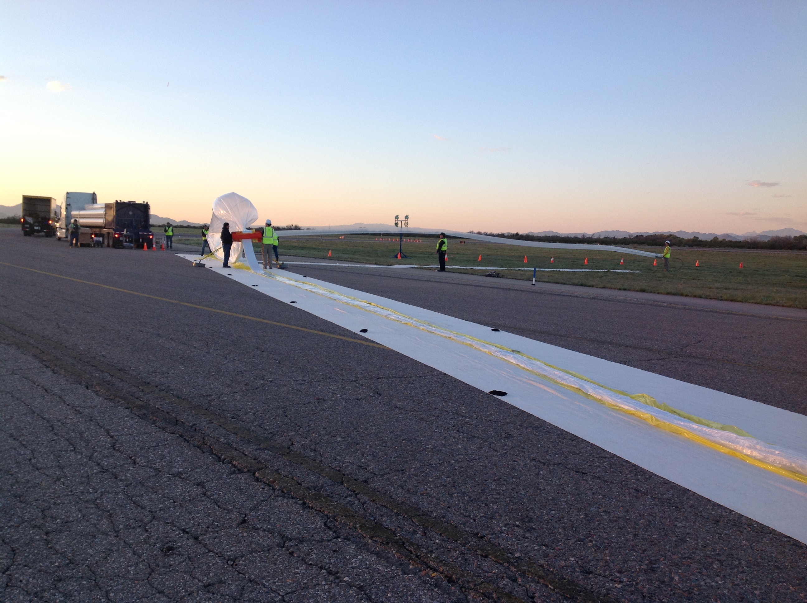
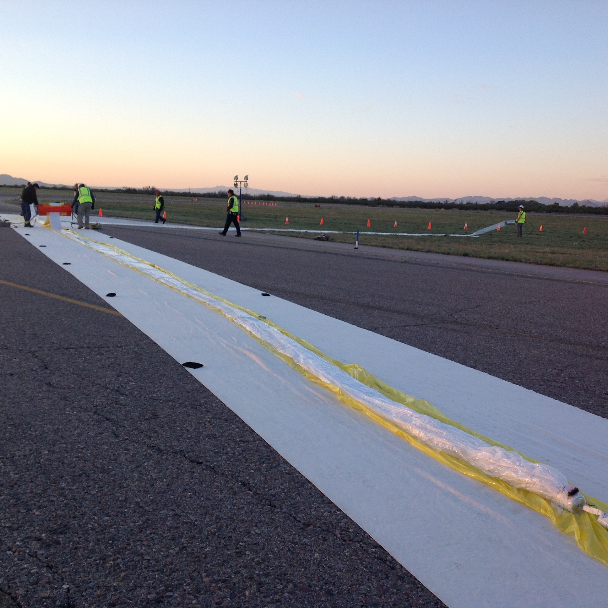
World View

Quarry near Picture Rocks, AZ

Introducing Lopsided

World View

Titan II Missile Silo 570-3 Aerial View

World View

Quarter Section Monument
World View
World View

World View

World View

World View

World View

Picacho Peak

Santa Rita Mountains
Summer Thunderstorm, Marana, AZ

#Sedona #arizonasunset #blessed @jimdrews2 #drewshd @drewshd_net

Unknown Registration
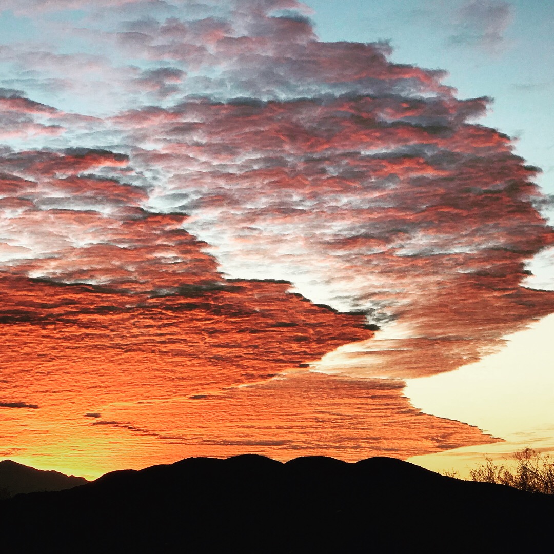
Tucson Sunrise

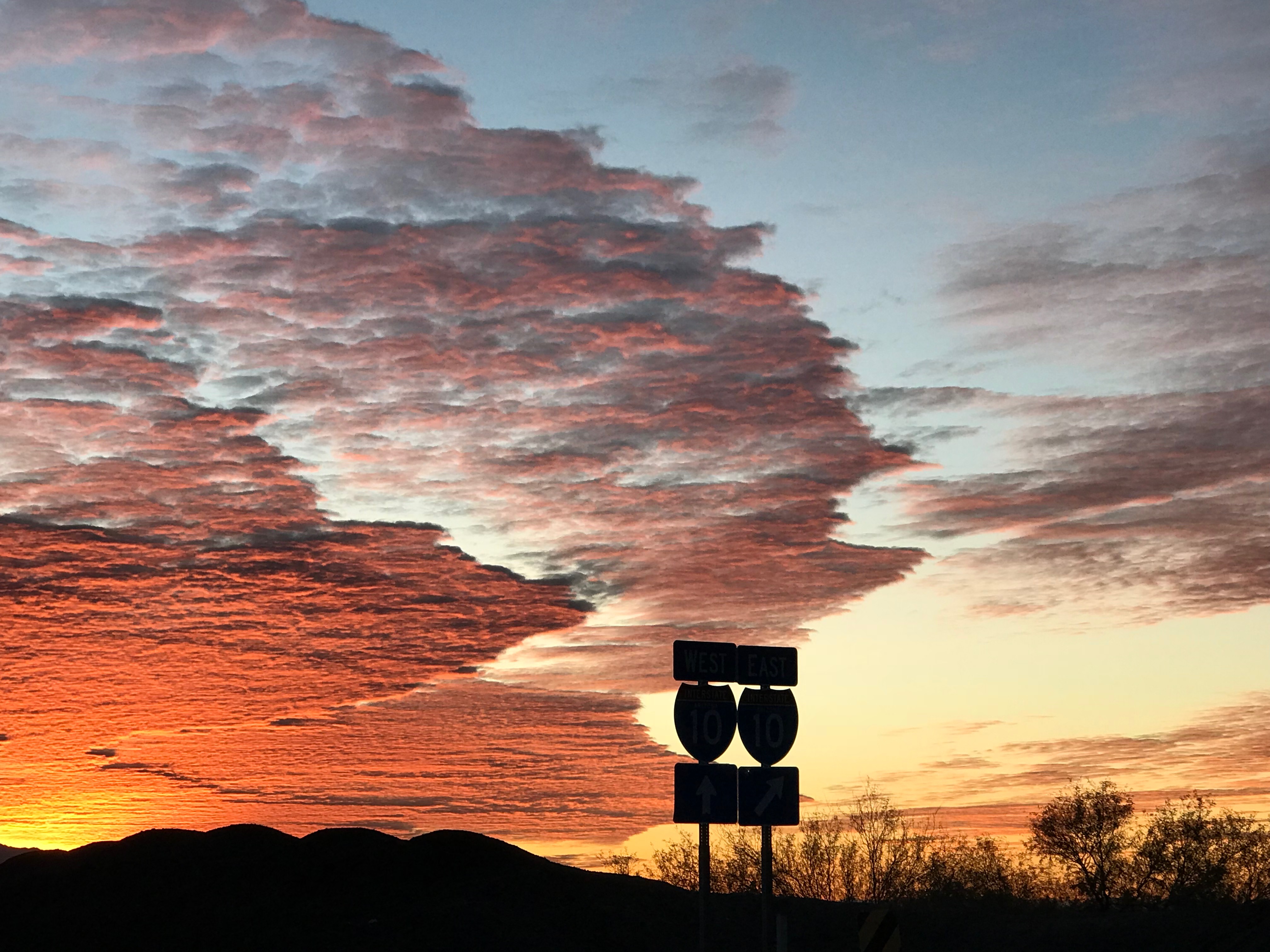
Pinal Air Park, Arizona

Tucson Sunrise

Desert at Ironwood Forest

1-AC Lot 180° Panorama

SE Corner of the Section

What Can Be, Will Be.....

Waterman Mountains, Ironwood Forest National Monument

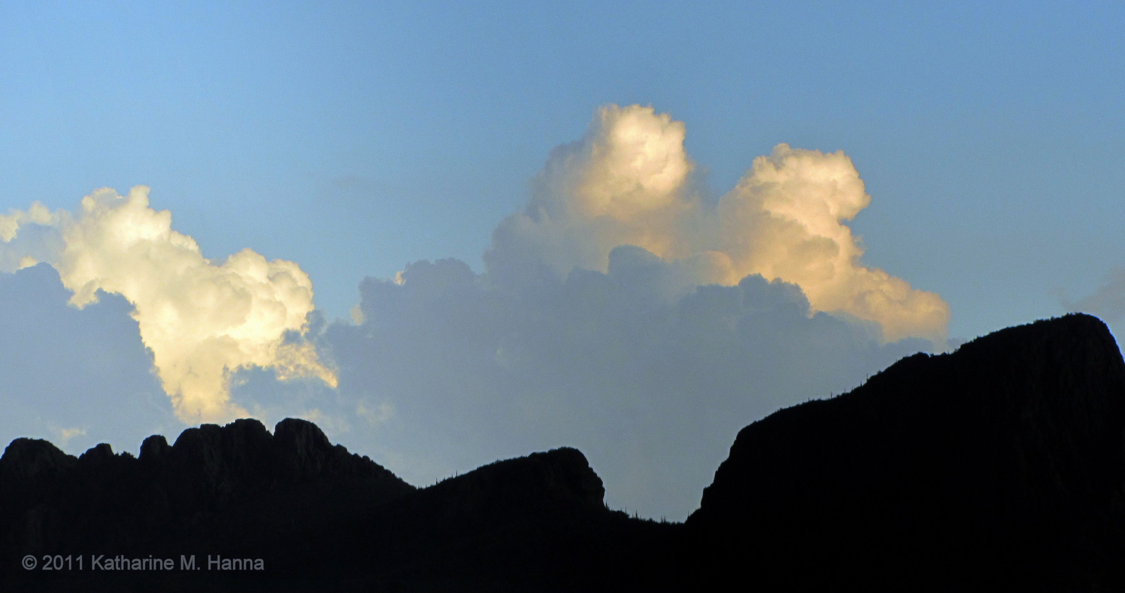
Eye of the storm

World View

Arch and the Silverbell Mountains
Tucson Sunrise

The Cotton Fields

Birding the Waterman Mountains

Ragged Top
Topographic Map of Rancho Del Sol Lindo, Avra Valley, AZ, USA
Find elevation by address:

Places near Rancho Del Sol Lindo, Avra Valley, AZ, USA:
Roadrunner Elementary School
16475 W Spur Bell Ln
16962 W Lambert Ln
11130 N Waite Rd
16151 W Spur Bell Ln
12840 N Flintlock Rd
10113 N Avra Vista Dr
W Silverbell Rd, Marana, AZ, USA
Nelson
Silverbell West
W Hardin Rd, Marana, AZ, USA
21393 W Silverbell Rd
Picture Rocks
Marana
11750 Boll Bloom Dr
12678 N Maize Dr
11578 W Foxberry Dr
11733 W Watz Pl
San Lucas
Gladden Farms
Recent Searches:
- Elevation of Corso Fratelli Cairoli, 35, Macerata MC, Italy
- Elevation of Tallevast Rd, Sarasota, FL, USA
- Elevation of 4th St E, Sonoma, CA, USA
- Elevation of Black Hollow Rd, Pennsdale, PA, USA
- Elevation of Oakland Ave, Williamsport, PA, USA
- Elevation of Pedrógão Grande, Portugal
- Elevation of Klee Dr, Martinsburg, WV, USA
- Elevation of Via Roma, Pieranica CR, Italy
- Elevation of Tavkvetili Mountain, Georgia
- Elevation of Hartfords Bluff Cir, Mt Pleasant, SC, USA