Elevation of Silver Street, Silver St, Hinesburg, VT, USA
Location: United States > Vermont > Chittenden County > Hinesburg >
Longitude: -73.109525
Latitude: 44.299827
Elevation: 125m / 410feet
Barometric Pressure: 100KPa
Elevation Map:
Satellite Map:
Related Photos:

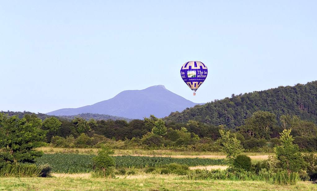
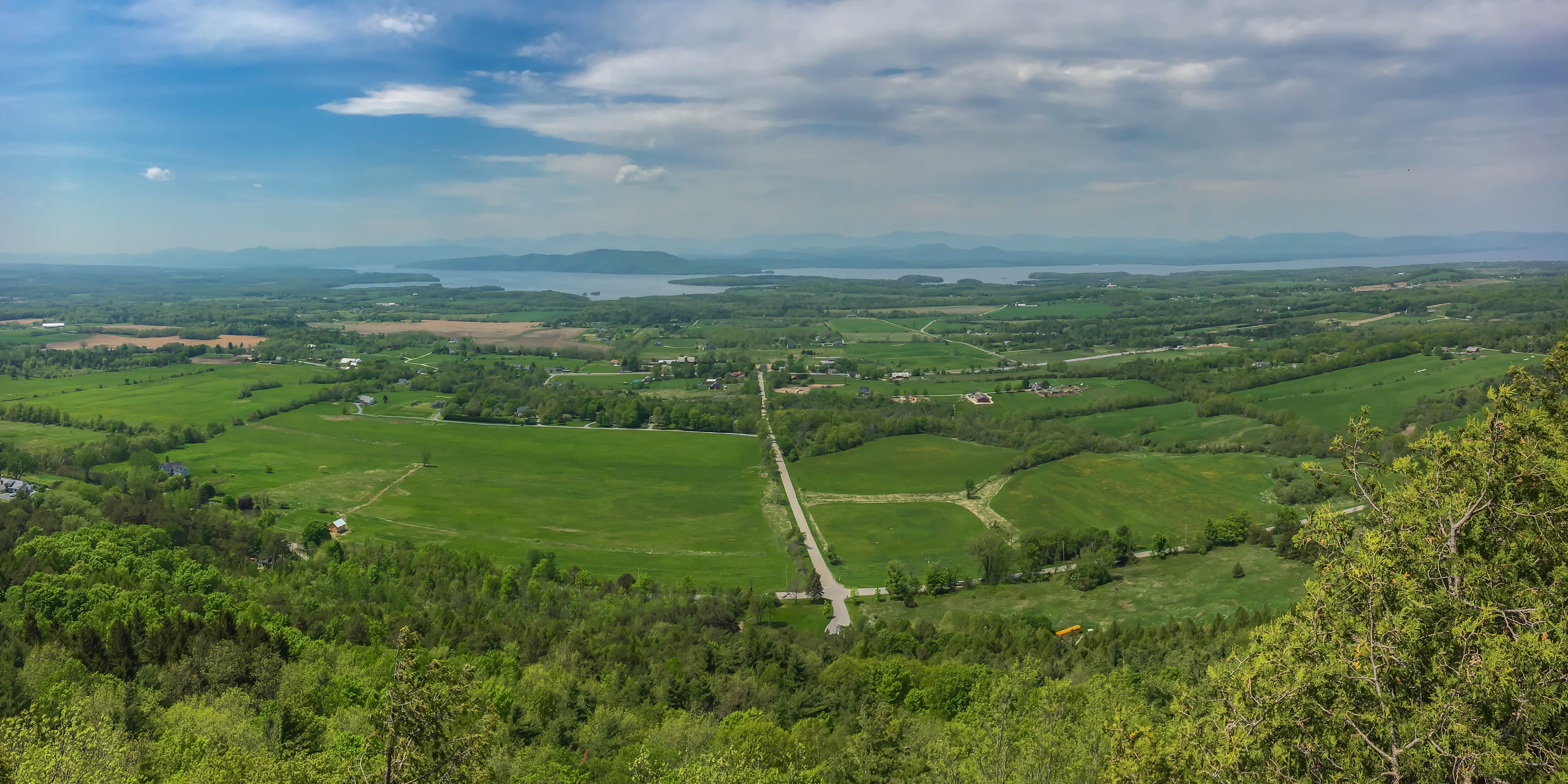
View from Mount Philo
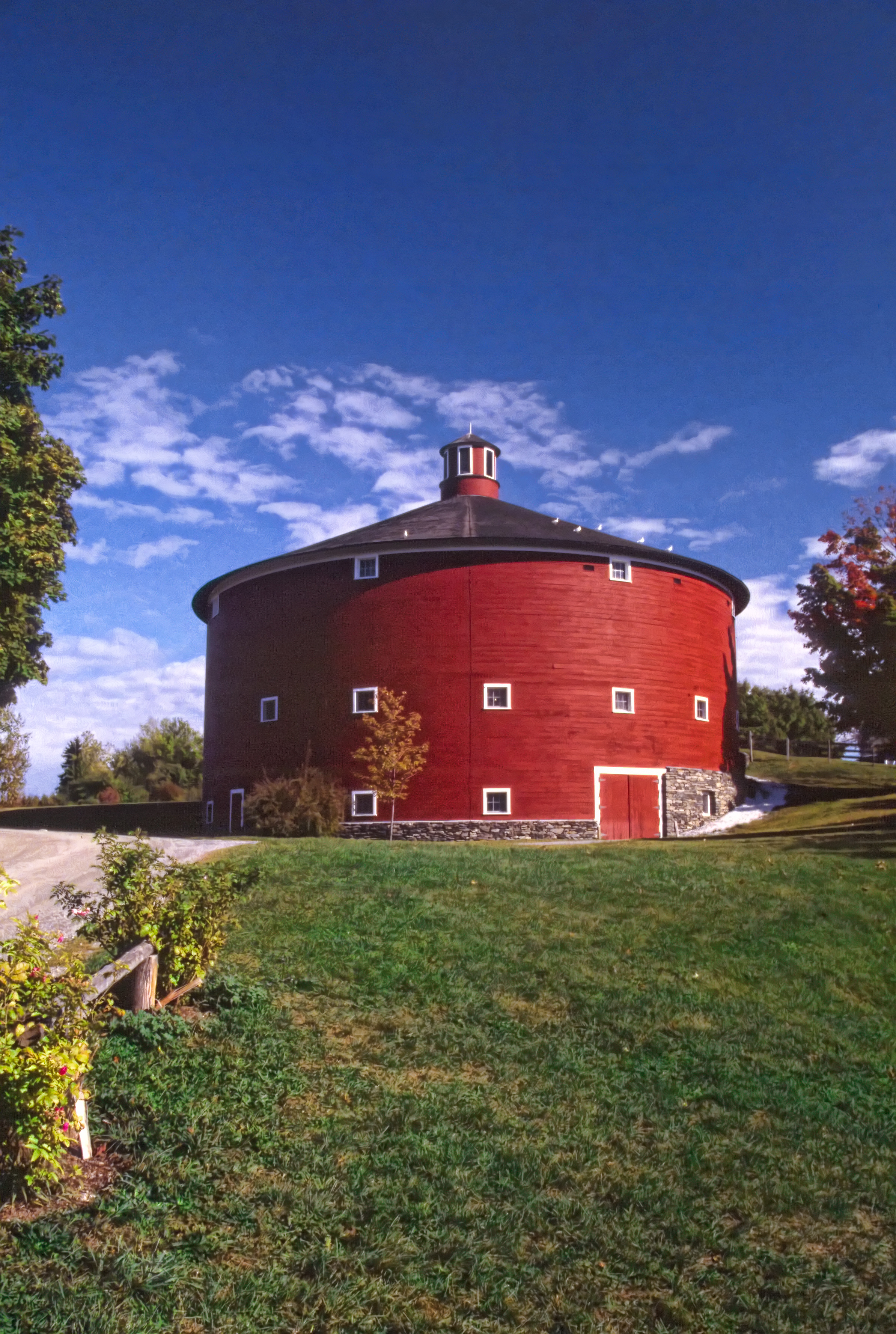
Round Barn, Shelbourne, VT
19/52 - Office View
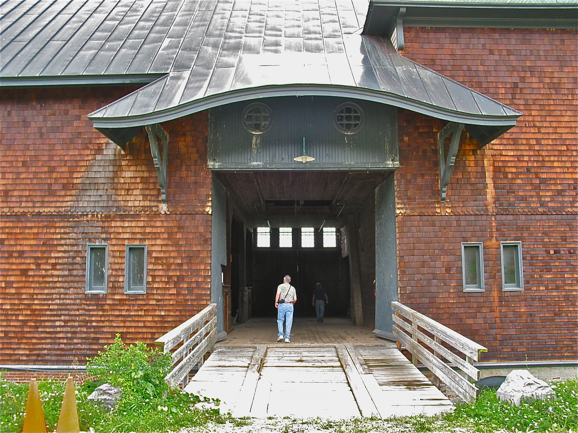
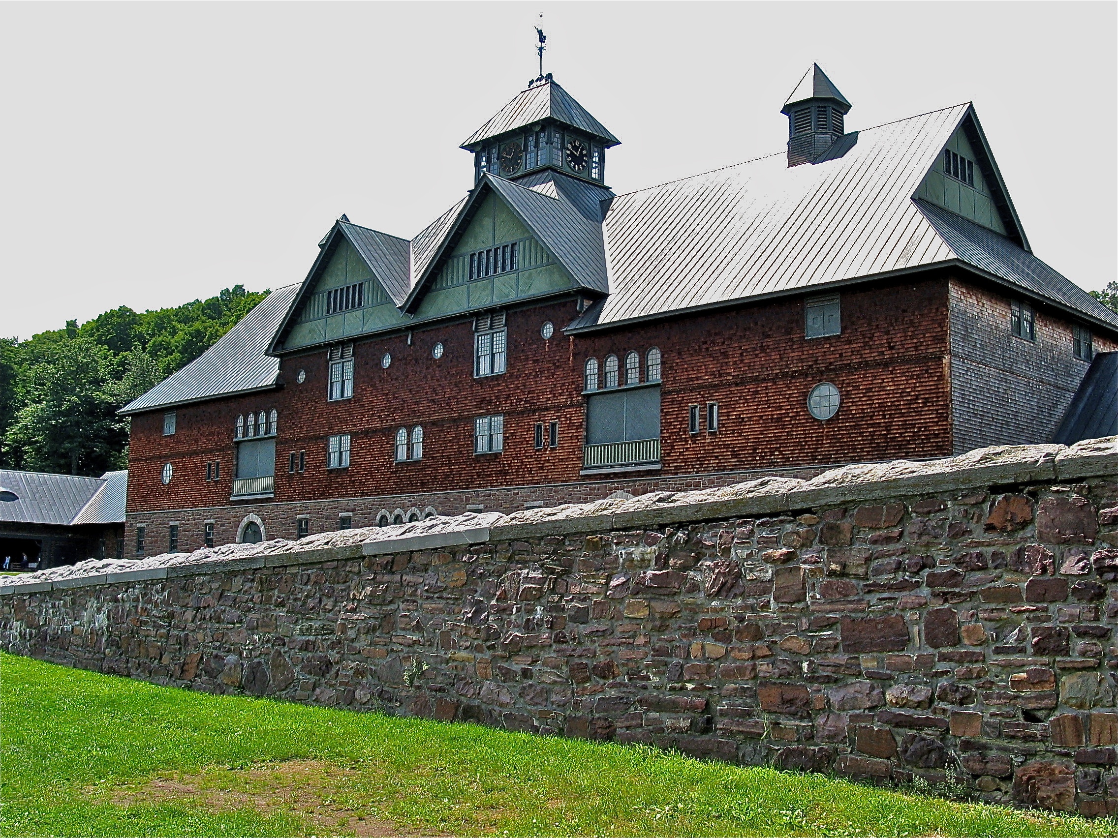
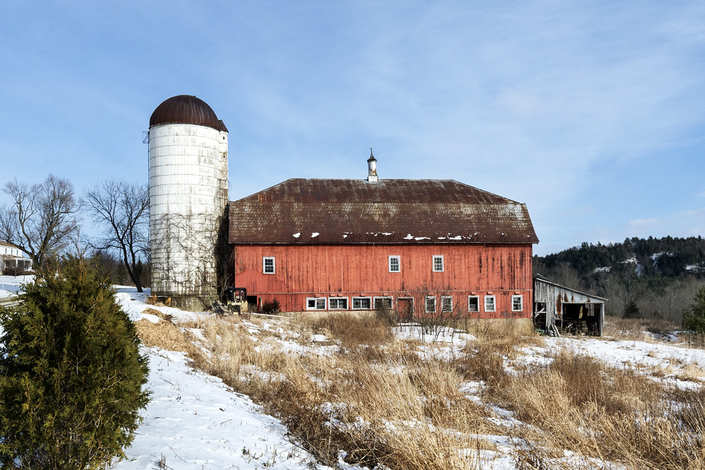
Shelburne Farms (1886) – Dairy Barn (1891)
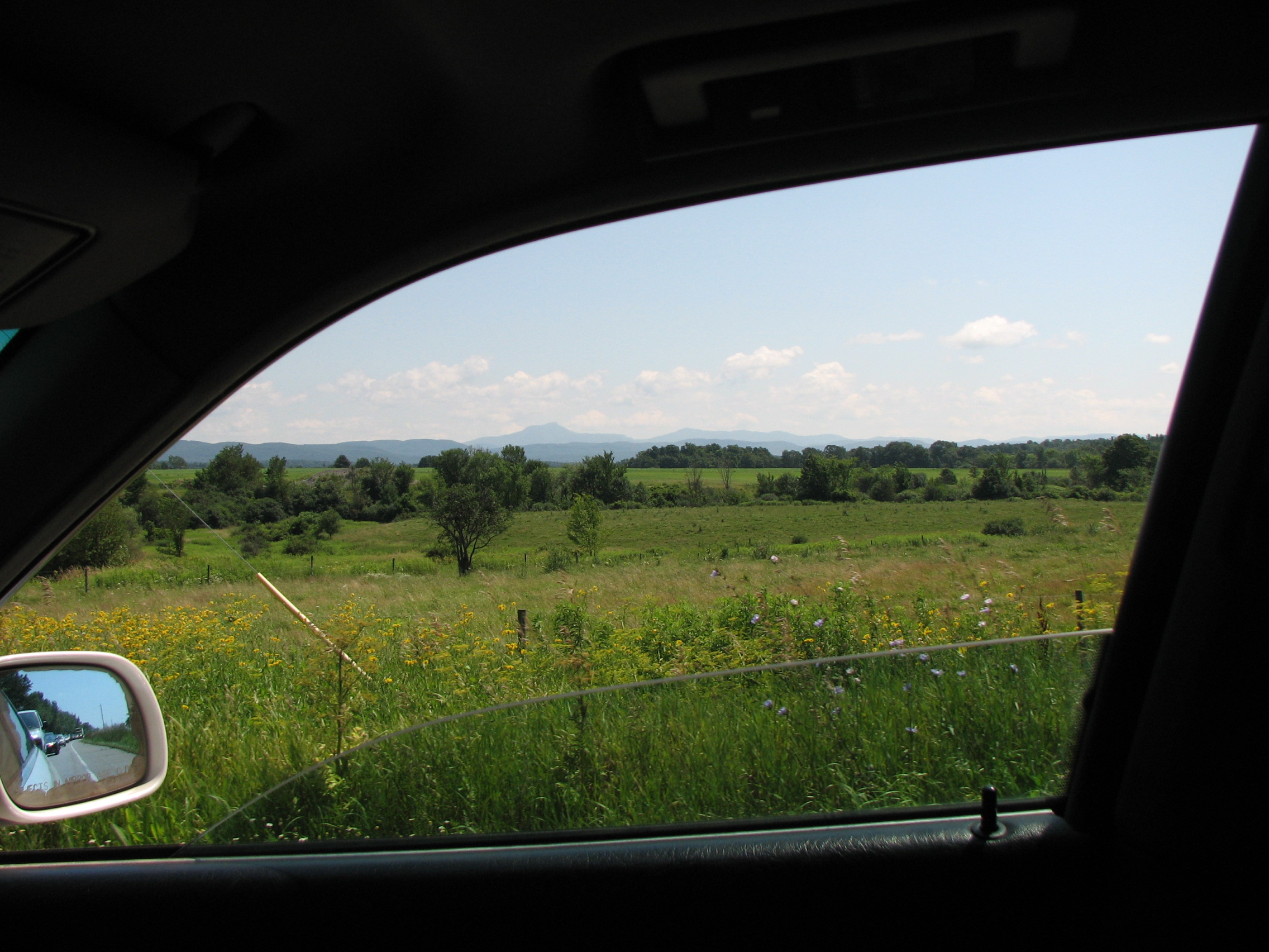
car.window • view
View from the Deck
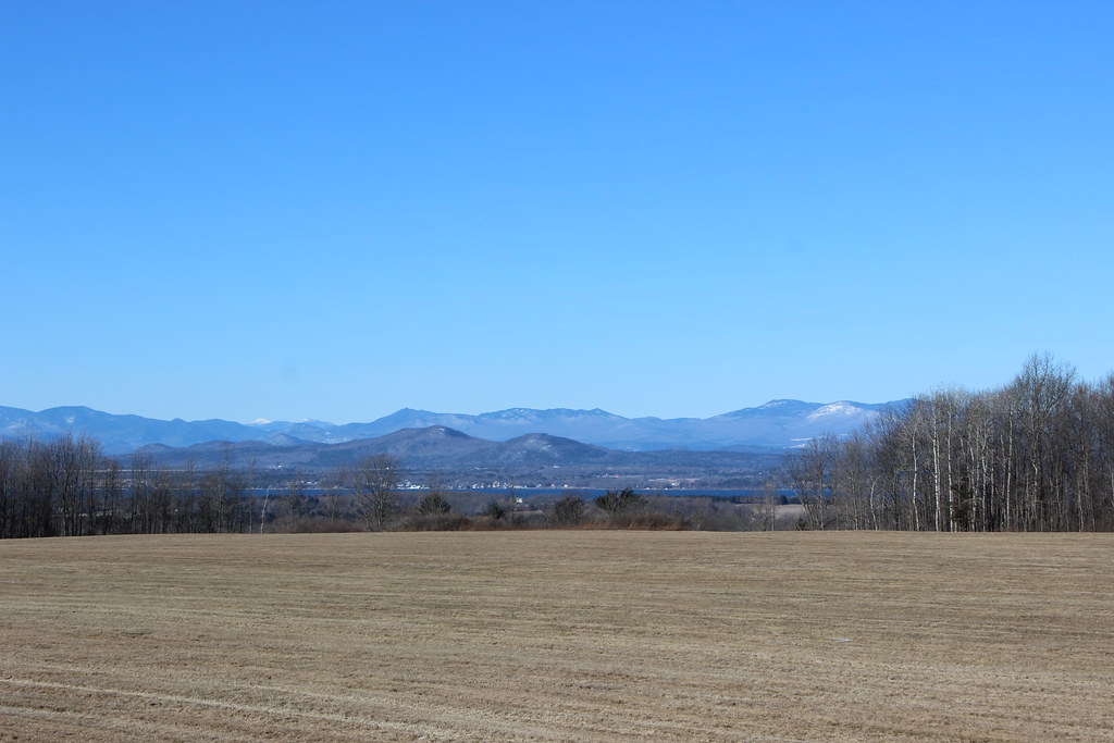
Land, lake, and mountains
Shelburne Farms (1886) – Farm Barn (1888-90)
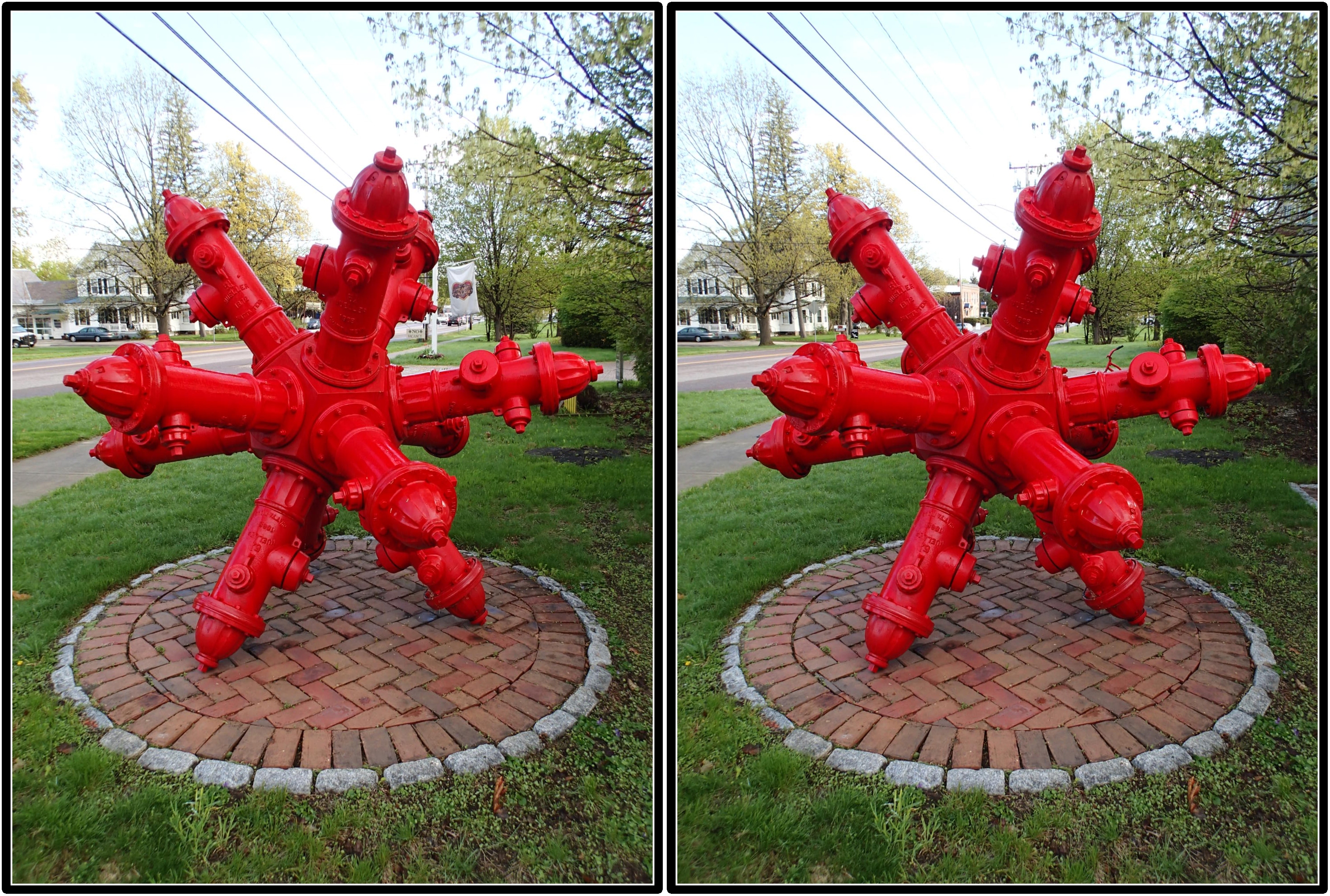
Dodecahedron hydrants
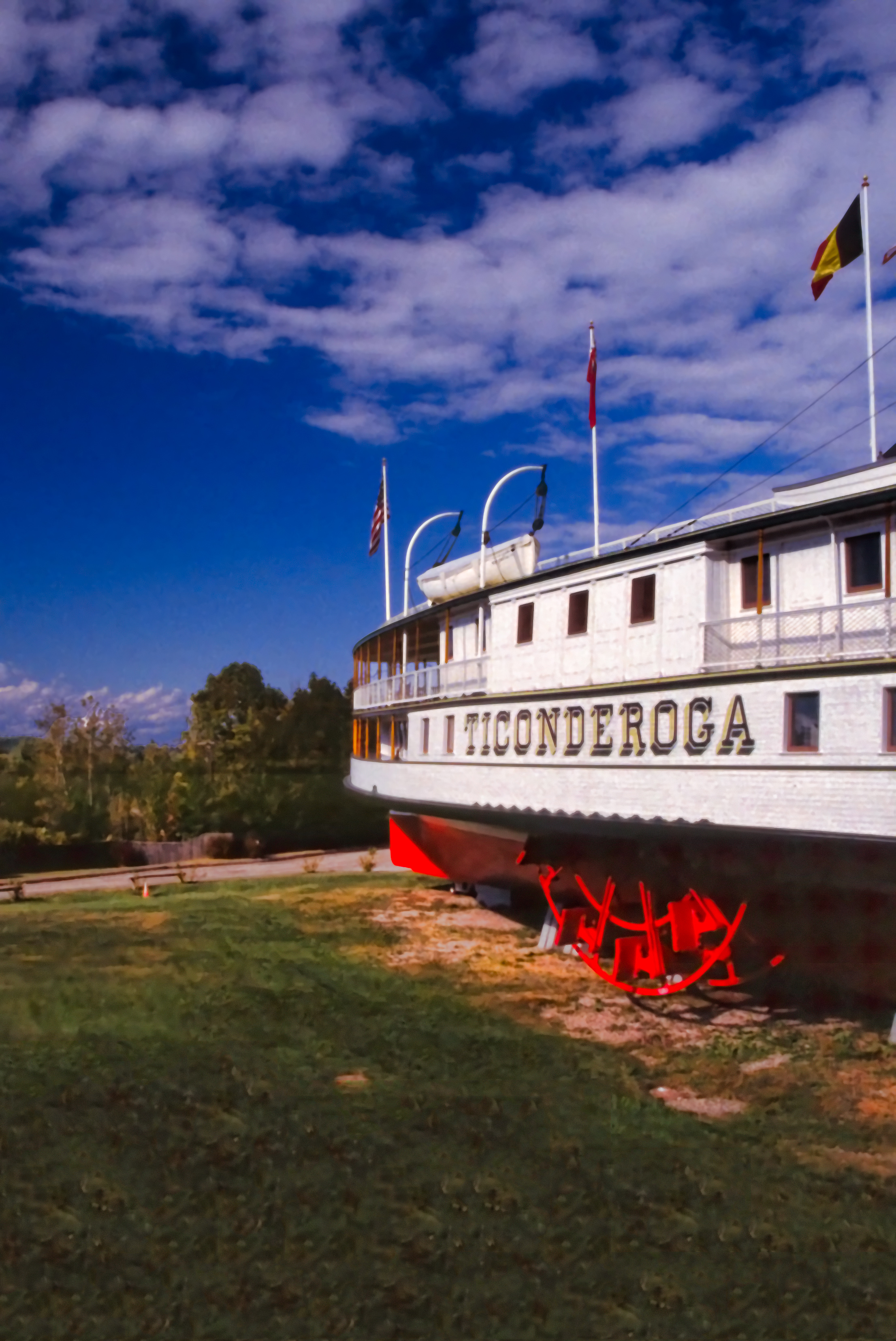
The Steamer Ticonderoga
Shelburne Farms (1886) – Dairy Barn (1891)
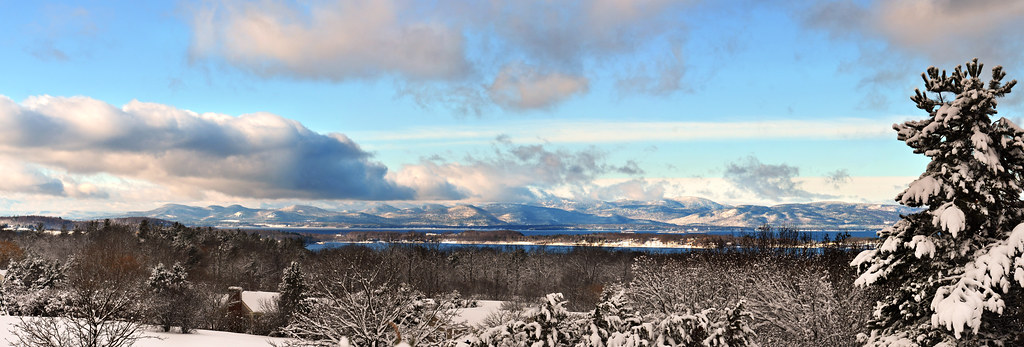
Lake Iroquois
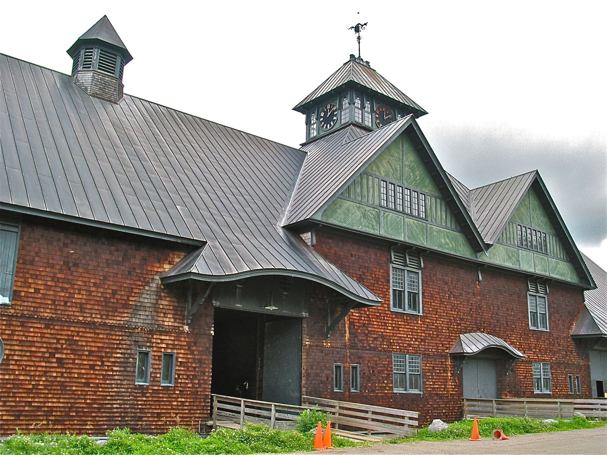
Shelburne Farms (1886) – Farm Barn (1888-90)
Shelburne Farms (1886) – Farm Barn (1888-90)

Another Day is Gone

Shelburne Farms (1886) – Farm Barn (1888-90) - detail

Shelburne Farms (1886) – Farm Barn (1888-90) - old machinery
The Overlook
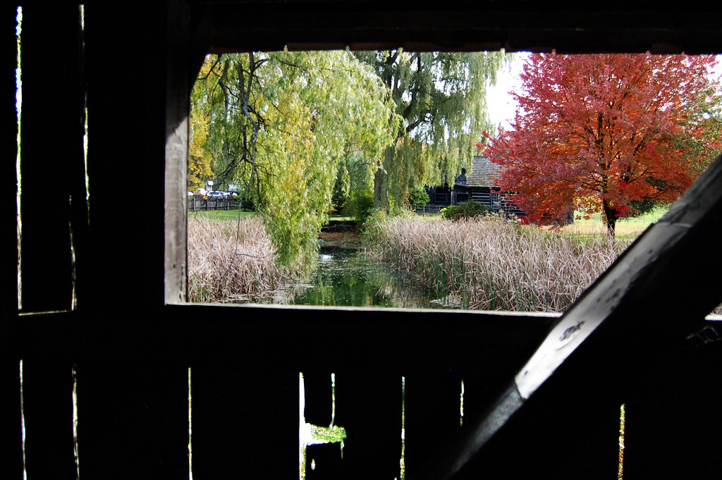
view from a bridge
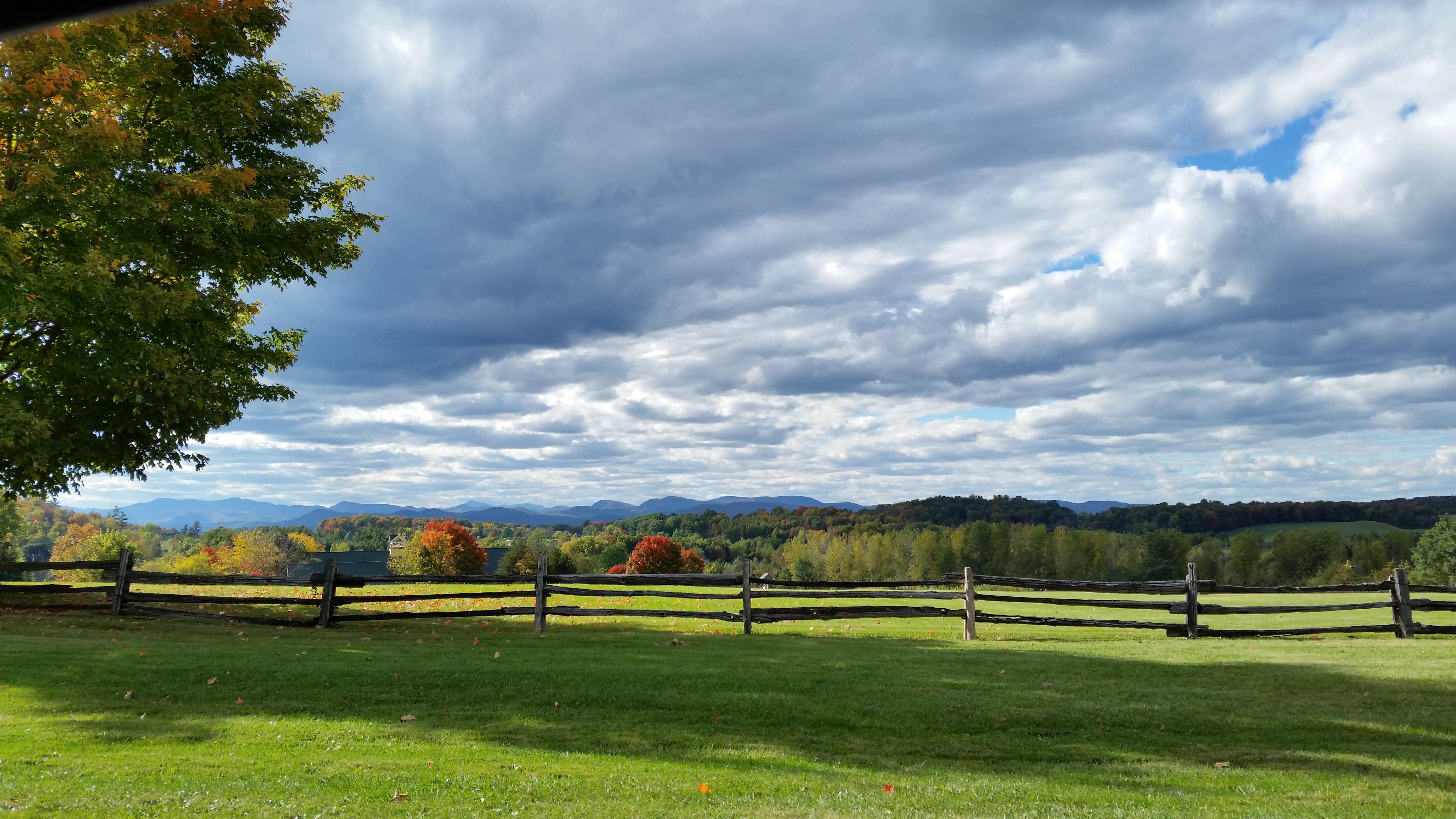
Roadside View

Frightening Bird's Eye View... #perspective #vantage #art #artspaces #museumspaces #museumseries Painting: "Soaring" (1950) by Andrew Wyeth (1917 - 2009)
Snow for Christmas

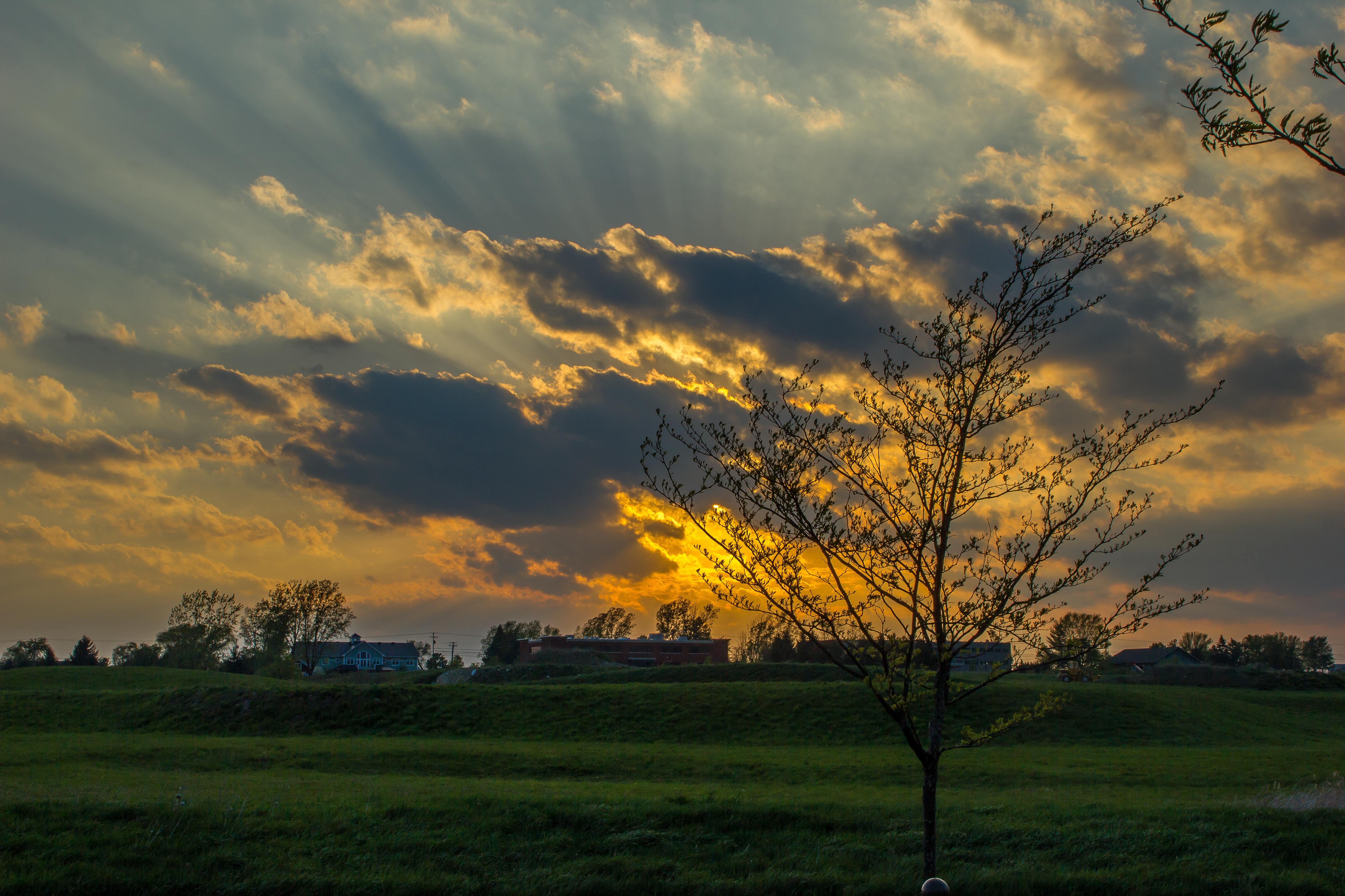
Williston Sunset

This is Vermont
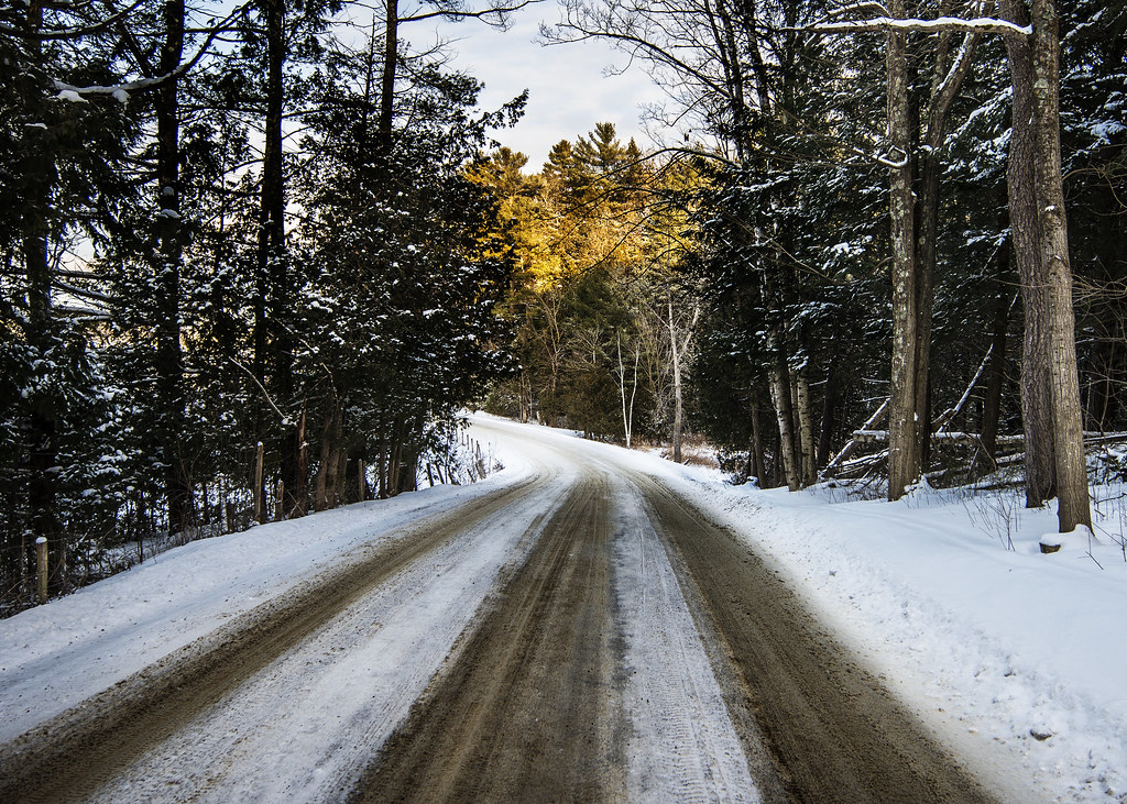
road home

Another from #boltonpotholes #vermont

Camel's Hump from Kenyon Rd.
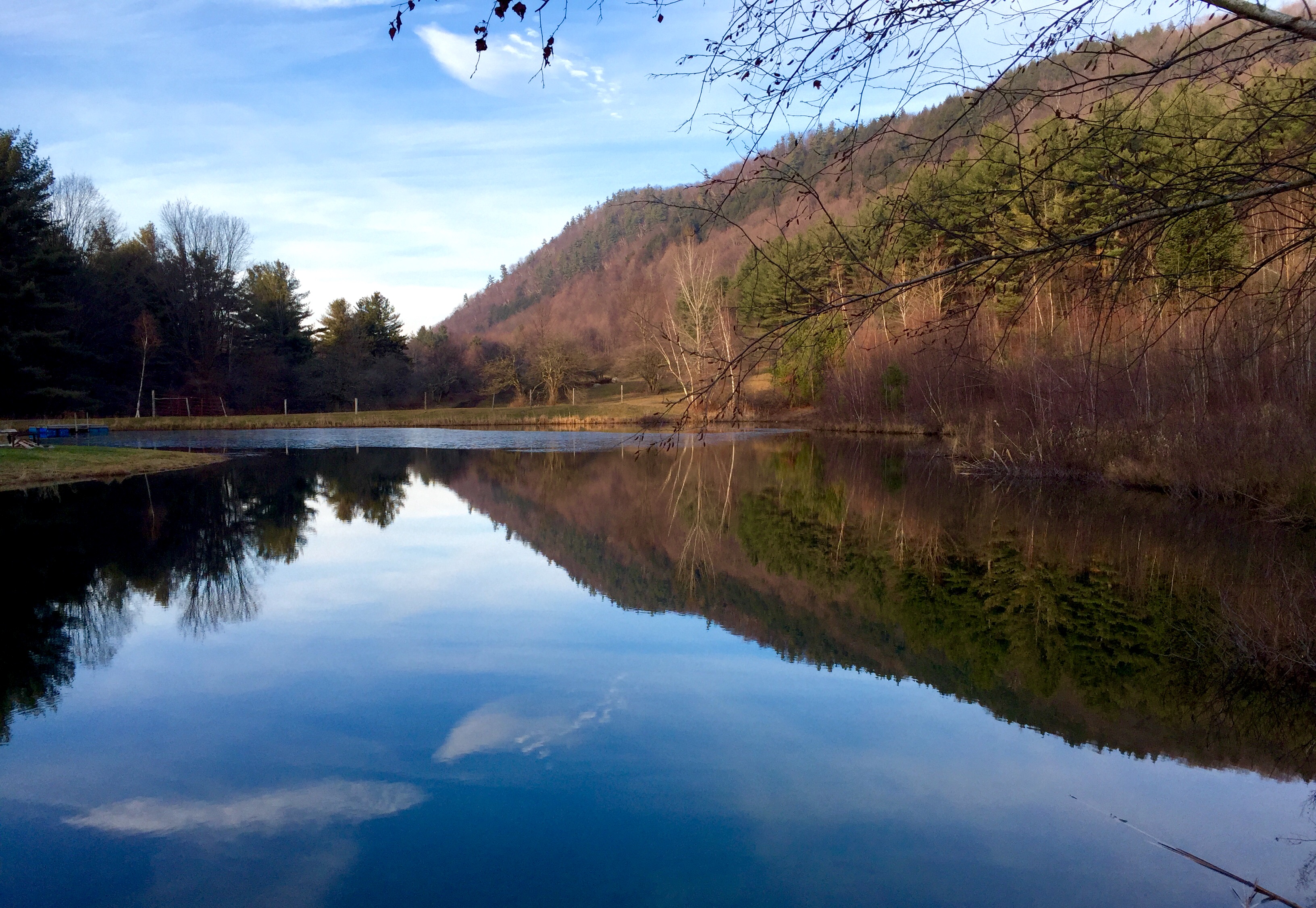
Russell Tree Farm Pond
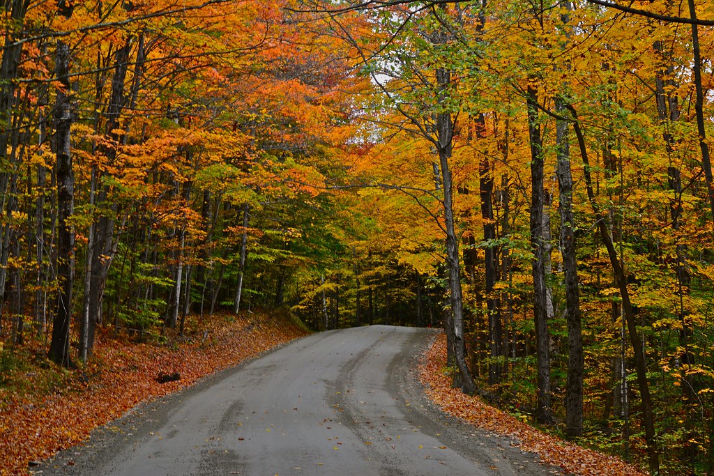
Road in Fall

Mansfield sunset #fallinvt @thisisvt #latergram #vt
Adirondack mountains viewed from Vermont
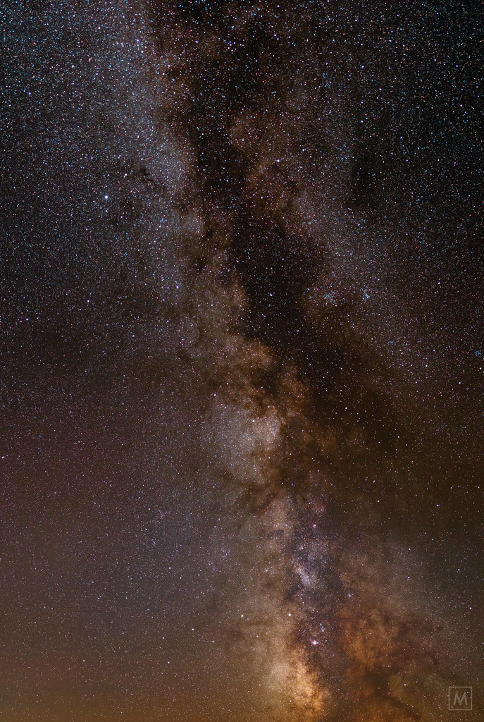
Milky Way from Lone Tree Hill
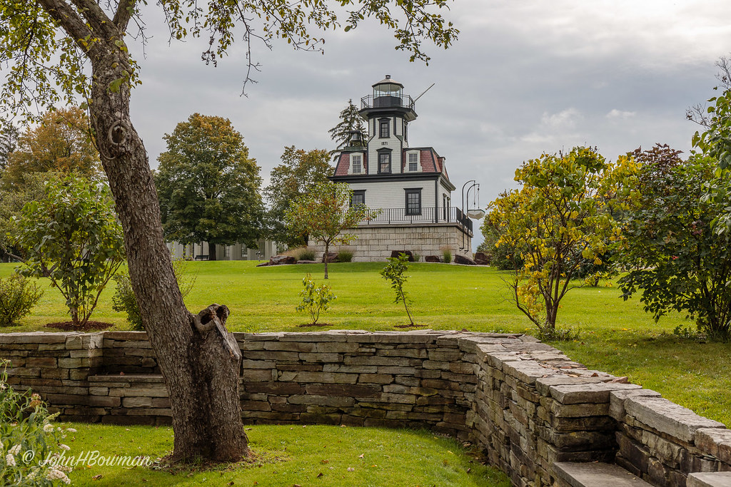
Landlocked Lighthouse

Shelburne Farms Panorama
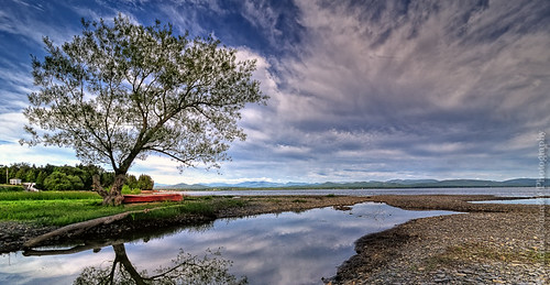
The Red Canoe
low perspective
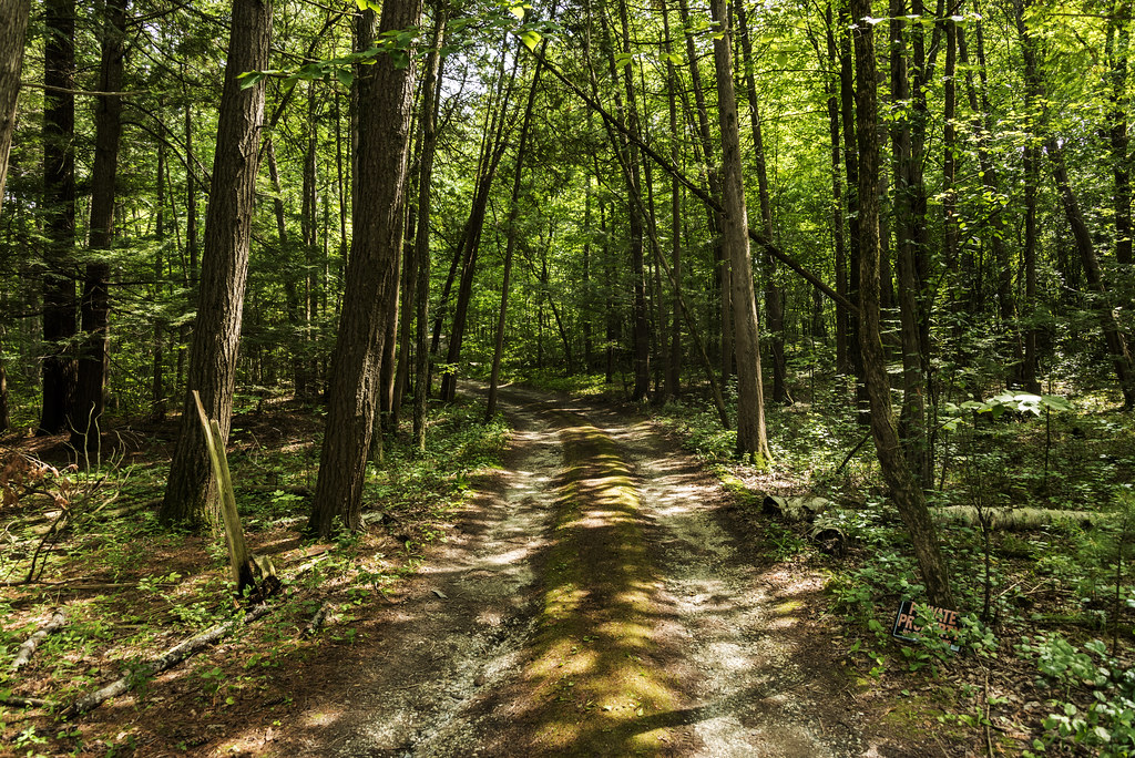
The Magic Path
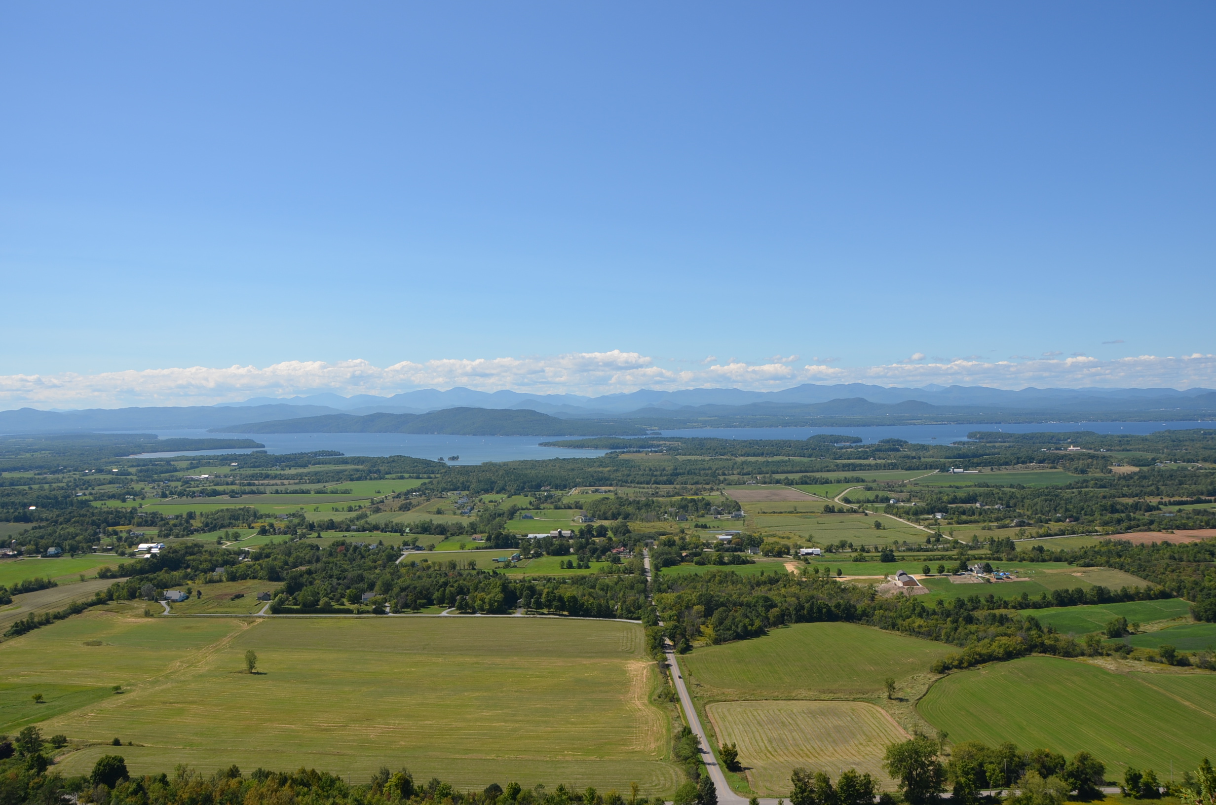
Mt Philo panorama - Lake Champlain
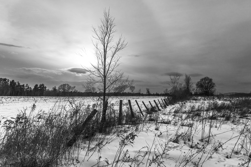
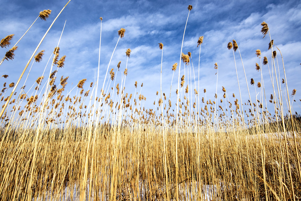
the fields in winter
Topographic Map of Silver Street, Silver St, Hinesburg, VT, USA
Find elevation by address:

Places near Silver Street, Silver St, Hinesburg, VT, USA:
Hinesburg
97 Pond Rd
882 Richmond Rd
301 Jourdan St
97 Pond Brook Rd
401 Butternut Ln
1954 Texas Hill Rd
255 Moulton Dr
2373 Hinesburg Rd
1379 Williams Hill Rd
1379 Williams Hill Rd
1140 Williams Hill Rd
2373 Hinesburg Rd
494 Christmas Ln
575 Wortheim Ln
164 Ladensack Ln
Mud Pond Road
Mud Pond Country Park
Huntington
495 Yantz Hill Rd
Recent Searches:
- Elevation of Corso Fratelli Cairoli, 35, Macerata MC, Italy
- Elevation of Tallevast Rd, Sarasota, FL, USA
- Elevation of 4th St E, Sonoma, CA, USA
- Elevation of Black Hollow Rd, Pennsdale, PA, USA
- Elevation of Oakland Ave, Williamsport, PA, USA
- Elevation of Pedrógão Grande, Portugal
- Elevation of Klee Dr, Martinsburg, WV, USA
- Elevation of Via Roma, Pieranica CR, Italy
- Elevation of Tavkvetili Mountain, Georgia
- Elevation of Hartfords Bluff Cir, Mt Pleasant, SC, USA