Elevation of Christmas Ln, Williston, VT, USA

Location: United States > Vermont > Chittenden County > Williston >

Longitude: -73.068035

Latitude: 44.4033224

Elevation: 259m / 850feet

Barometric Pressure: 98KPa

Elevation Map:

elevation map of Christmas Ln, Williston, VT, USA

Satellite Map:

Satellite map of Christmas Ln, Williston, VT, USA

Related Photos:

usa brick architecture burlington square iron vermont shadows cone balcony wroughtiron slate churchstreet sq roofline vt cones conical cityview bss 1894 nationalregisterofhistoricplaces 05401 nrhp greenmountainstate commercialblock churchstreetmarketplace 4story origamidon donshall burlingtonvermontusa cshd richardsonplace churchstreethistoricdistrict burlingtonslatesurvey brickcommercialblock 07292010 southwestroofline 09000915
Richardson Place (1894) – elaborate roofline
ef100400mmf4556lisiiusm canoneos5dmarkiv markiv canon5d burlington vermont lakechamplain sunset atardecer puestadelsol tardes evening harbor boat ship skiff dock seawall view yacht
burlington harbor sunset
canon eos 30d 30 d efs 1755 17 55 f28 f 28 is usm voyage travel travelling reise vacation urlaub usa us united states america vereinigte staaten von amerika vermont shelburne museum electra havemeyer webb carousel karussell fall autumn herbst
Vermont - Shelburne Museum
Dodecahedron hydrants
sunset landscape scenic scenery serene sky contrast nature richmond vermont vt unitedstatesofamerica usa nikon d610 70200f4vr dusk golden fav10
Another Day is Gone
wood old blue autumn red sky usa cloud building tree green fall nature beautiful field grass weather museum clouds barn rural landscape outside countryside wooden scenery colorful vermont bright outdoor farm country farming rustic grain harvest scenic meadow sunny farmland foliage round restored 100 agriculture vacations barnyard agricultural topaz shelbourne farmyard agriculturalbuildings
Round Barn, Shelbourne, VT
burlington vermont south willie mays thecatch
The Catch
road door wood old autumn roof sky usa house plant building green history fall film home beautiful grass stone museum architecture barn rural vines europe vermont village view unitedstates outdoor path farm traditional country rustic cottage scenic historic shelburne shelbourne residentialbuildings agriculturalbuildings
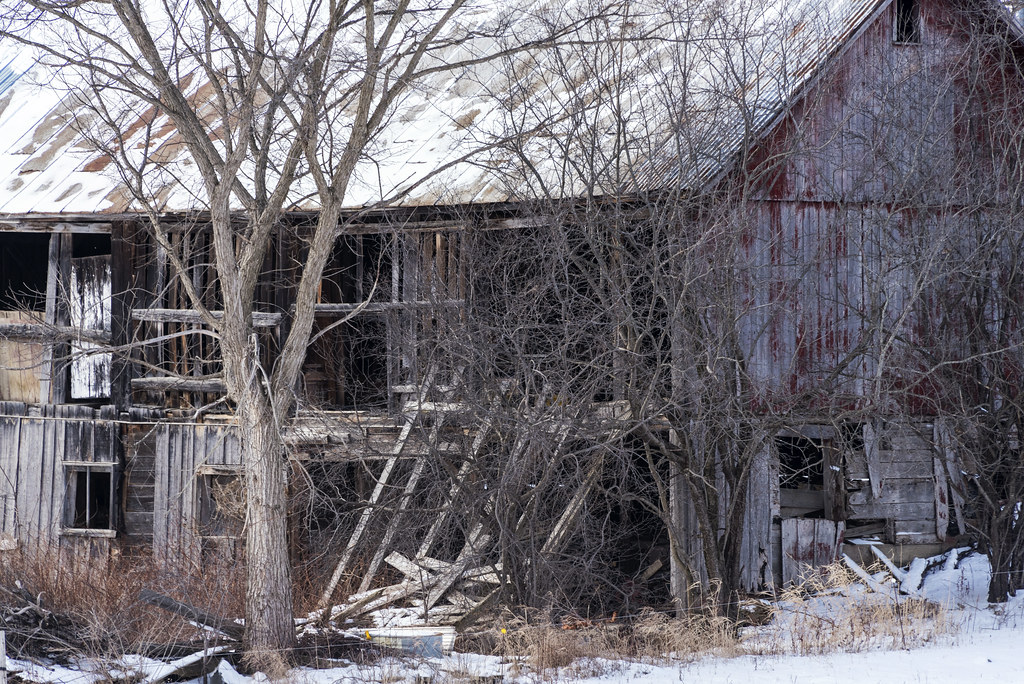
Settler's House and Barn
old travel blue autumn trees red vacation sky usa white tree green history fall film nature colors vintage season landscape countryside boat scenery vermont day ship natural symbol outdoor famous transport scene 200 transportation land passenger steamboat steamer vacations topaz ticonderoga paddlewheel shelbournemuseum
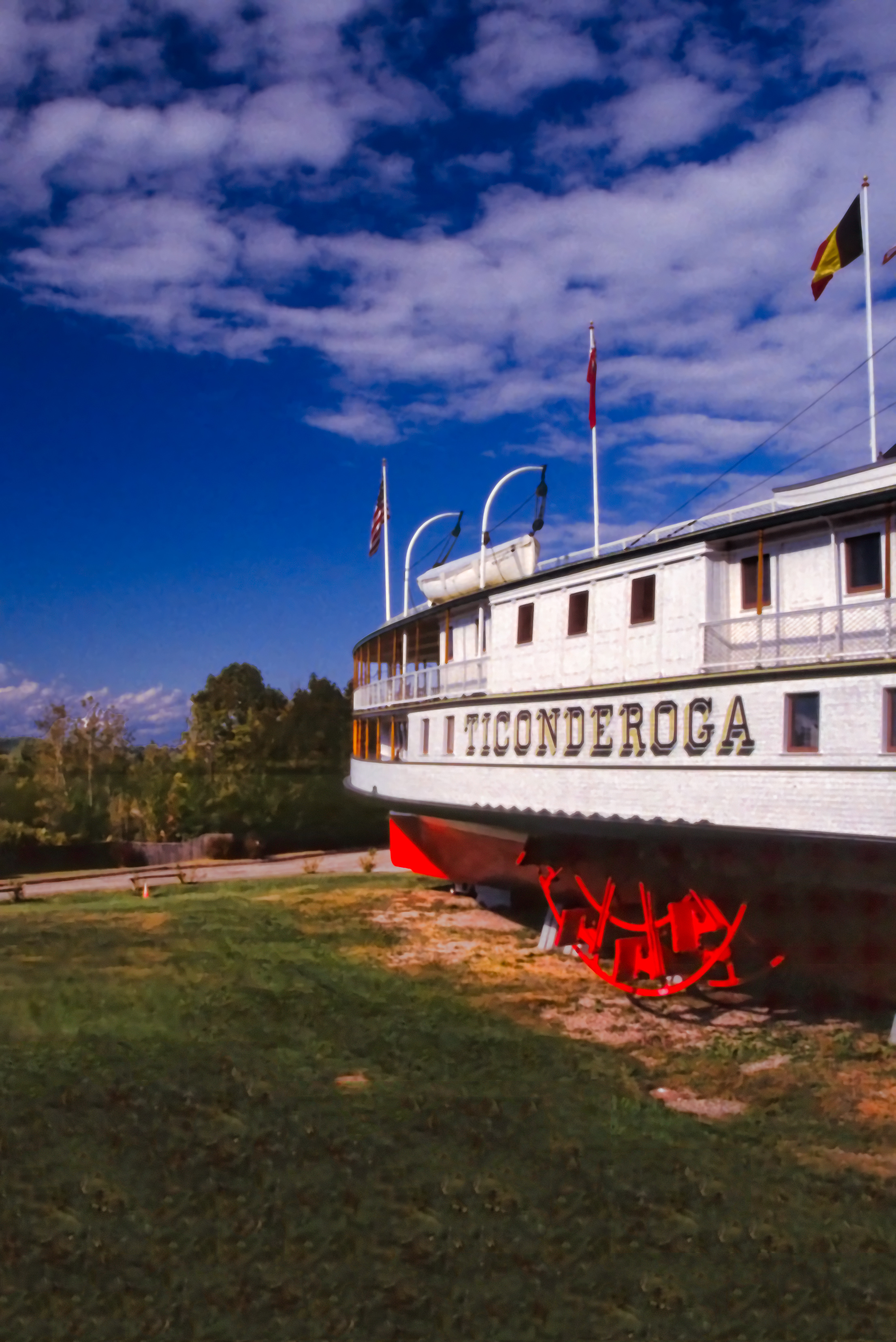
The Steamer Ticonderoga
usa architecture square nhl vermont cows nps farm agriculture nationalparkservice sq vt lakechamplain shelburne 1866 giffordpinchot shelburnefarms landscapedesign nationalhistoriclandmark fredericklawolmsted cheddarcheese nationalregisterofhistoricplaces environmentaleducationcenter brownswiss nrhp superrich vermontmozartfestival chittendencounty foreststewardshipcouncil roberthendersonrobertson origamidon donshall shelburnevermontusa 01032001 greencertification lilavanderbiltwebb drwilliamsewardwebb sustainablymanagedwoodlands grassbaseddairy 80000330 08111980 exemplaryagriculturalarchitecturalandlandscapedesignachievements modelfarmandcountryestate 44°23′3169″n73°15′2604″w 44°23′3169″n 73°15′2604″w
Shelburne Farms (1886) – Dairy Barn (1891)
usa architecture square nhl vermont cows nps farm agriculture nationalparkservice sq vt lakechamplain shelburne 1866 giffordpinchot shelburnefarms landscapedesign nationalhistoriclandmark fredericklawolmsted cheddarcheese nationalregisterofhistoricplaces environmentaleducationcenter brownswiss nrhp superrich vermontmozartfestival chittendencounty foreststewardshipcouncil roberthendersonrobertson origamidon donshall shelburnevermontusa 01032001 greencertification lilavanderbiltwebb drwilliamsewardwebb sustainablymanagedwoodlands grassbaseddairy 80000330 08111980 exemplaryagriculturalarchitecturalandlandscapedesignachievements modelfarmandcountryestate 44°23′3169″n73°15′2604″w 44°23′3169″n 73°15′2604″w
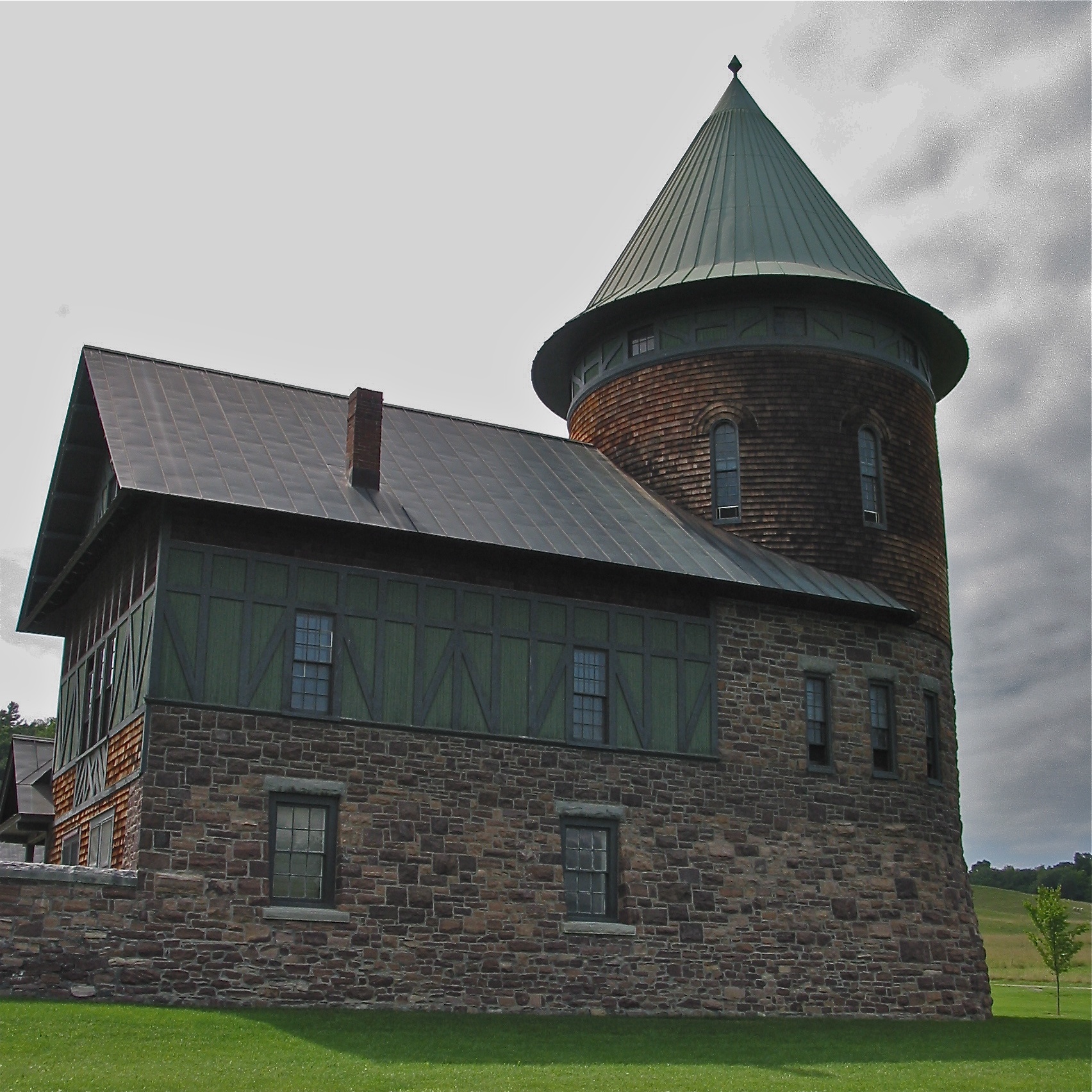
Shelburne Farms (1886) – Farm Barn (1888-90) - detail
usa architecture nhl vermont cows nps farm agriculture nationalparkservice vt lakechamplain shelburne 1866 giffordpinchot shelburnefarms landscapedesign nationalhistoriclandmark fredericklawolmsted cheddarcheese nationalregisterofhistoricplaces environmentaleducationcenter brownswiss nrhp superrich vermontmozartfestival chittendencounty foreststewardshipcouncil roberthendersonrobertson origamidon donshall shelburnevermontusa 01032001 greencertification lilavanderbiltwebb drwilliamsewardwebb sustainablymanagedwoodlands grassbaseddairy 80000330 08111980 exemplaryagriculturalarchitecturalandlandscapedesignachievements modelfarmandcountryestate 44°23′3169″n73°15′2604″w 44°23′3169″n 73°15′2604″w
Shelburne Farms (1886) – Farm Barn (1888-90)
fall barn rural decay ruin shelburne shelburnefarms
Fall View
waterfall waterbury vermont unitedstates
Bolton Potholes(2)
spring vermont camelshump field green landscape sky springtime
Spring in Vermont
newengland vermont chittendencounty shelburne shelburnemuseum museums barns newenglandbarns stonework stonewalls flowersandplants roses crookedtrees benches september2017 september 2017 canon16354l side
Turkey Face-off - and a Bench for Viewing
street lake vermont sundown champlain overlook
Framing the view
newengland vermont chittendencounty burlington parks localparks lighthouses newenglandlighthouses vermontlighthouses burlingtonbreakwaternorthlight lakesandponds lakechamplain marinasharbors boats sailboats mountainviews cloudyskies sunsets afterglow september2017 september 2017 canon24704l
Day's End
panorama lake snow burlington vermont champlain
The Overlook
sky reflection water clouds river landscape nikon vermont outdoor bolton vt d610 fav10 winooskiriver 2485vr
Winooski River
airplane us aircraft 8 dash dash8 usairways dehavilland 400v dhc8 usairwaysexpress dehavillanddash8 d82 n906ha fv1 top100200k top100220k
US Airways Express @ BTV Burlington Airport
hinesburg vermont landscape office
in the weeds
northlight ice lakechamplain moon stars winter
Moon over North Light
vermont sail sailboat sailing lake champlain boat boating landscape mountain water lakechamplain
Sailing Lake Champlain
canoneos5dmarkiv ef100400mmf4556lisiiusm ferry burlington vt canon ny lakechamplain harbor litehouse lighthouse markerlight water summer boat deck
burlington harbor light
snow tree barn rural landscape vermont charlotte
behind the road
northlight adirondacks lakechamplain sunset winter
Blue Hour, North Light
northlight adirondacks ice lakechamplain sunset winter burlington vermont unitedstates us
North Light, as the Sun Sets(2)
vermont shelburnepond landscape frozen
ponds are for skating
flyingmonkey monkey wizardofoz hdr highdynamicrange photography blackandwhite d850 nikon handheld sculpture burlington vt vermont creepy scary metal on1pics
Flying Monkey
water waterfall vermont unitedstates waterfalls jericho
Vermont_D718576-Edit-Edit.jpg
newengland vermont chittendencounty shelburne shelburnemuseum museums barns newenglandbarns roundbarns fencesgates greatskies fallcolor september2017 september 2017 canon24704l
Vermont Round Barn (HFF)
zeiss carlzeiss batis 18mm sony a7rii burlington vermont vt lake champlain dock blackwhite highcontrast longexposure explore travel photograph landscape luminar skylum
Lake Champlain, VT
abandoned shoppingcenter kmart clouds landscape building parkinglot blackandwhite monochrome bw nikon d610 1635f4vr shelburne vermont vt unitedstatesofamerica usa fav10 fav25
Abandoned Kmart Pano
adirondacks lakechamplain sunset
Sunset from VT (explore)
Winooski, Tree, Fall
trees leaves fall autumn landscape forest yellow fallcolors office
Bathed in Sunshine
barn landscape vermont
The orange barn
burlington vermont south overlook
Adirondack sunset
lake vermont dusk champlain
Primal Dance #2
waterfall waterbury vermont unitedstates
Potholes(3)