Elevation of Silver St, Middleton, NH, USA
Location: United States > New Hampshire > Strafford County > Middleton >
Longitude: -71.087910
Latitude: 43.4448372
Elevation: 220m / 722feet
Barometric Pressure: 99KPa
Elevation Map:
Satellite Map:
Related Photos:
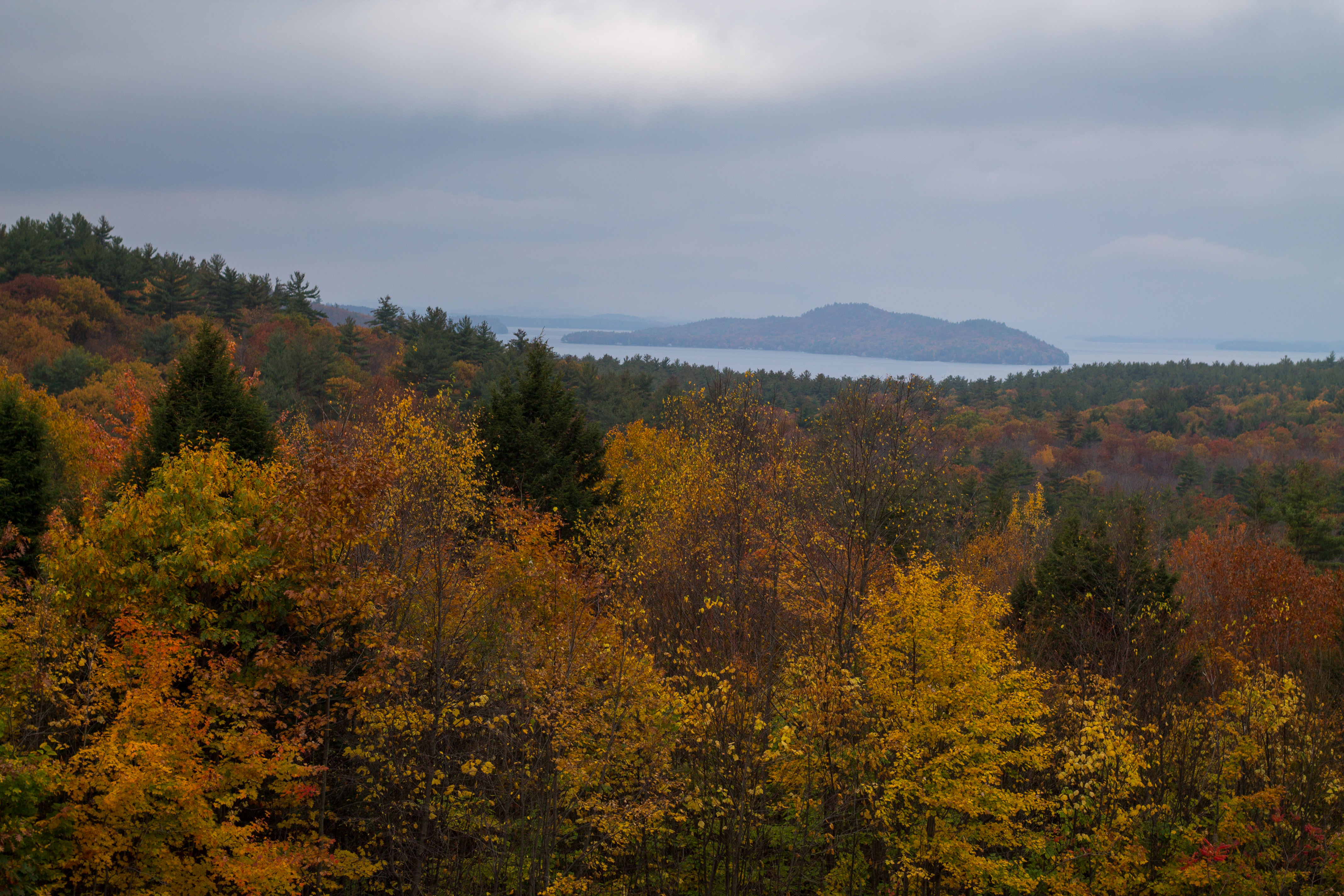
Rattlesnake Island
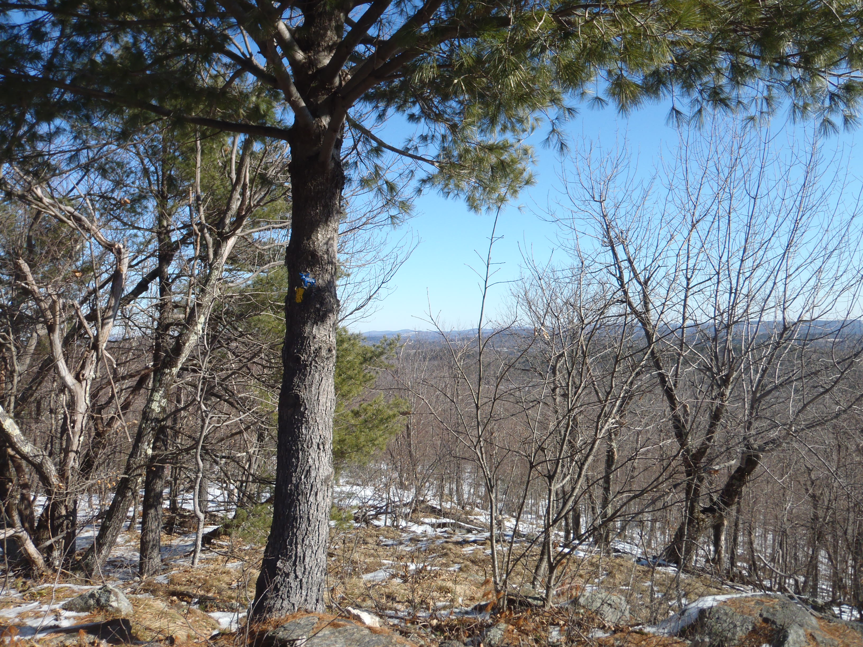
View from upper landing on North Trail
Alton Bay from above
North View trail

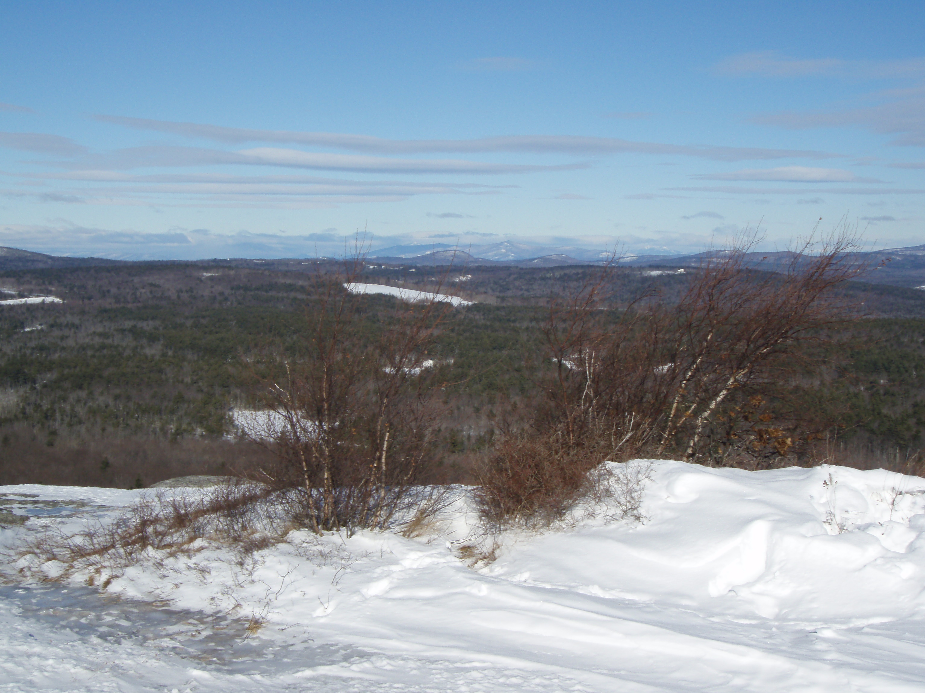
View from Little Baldy Pan
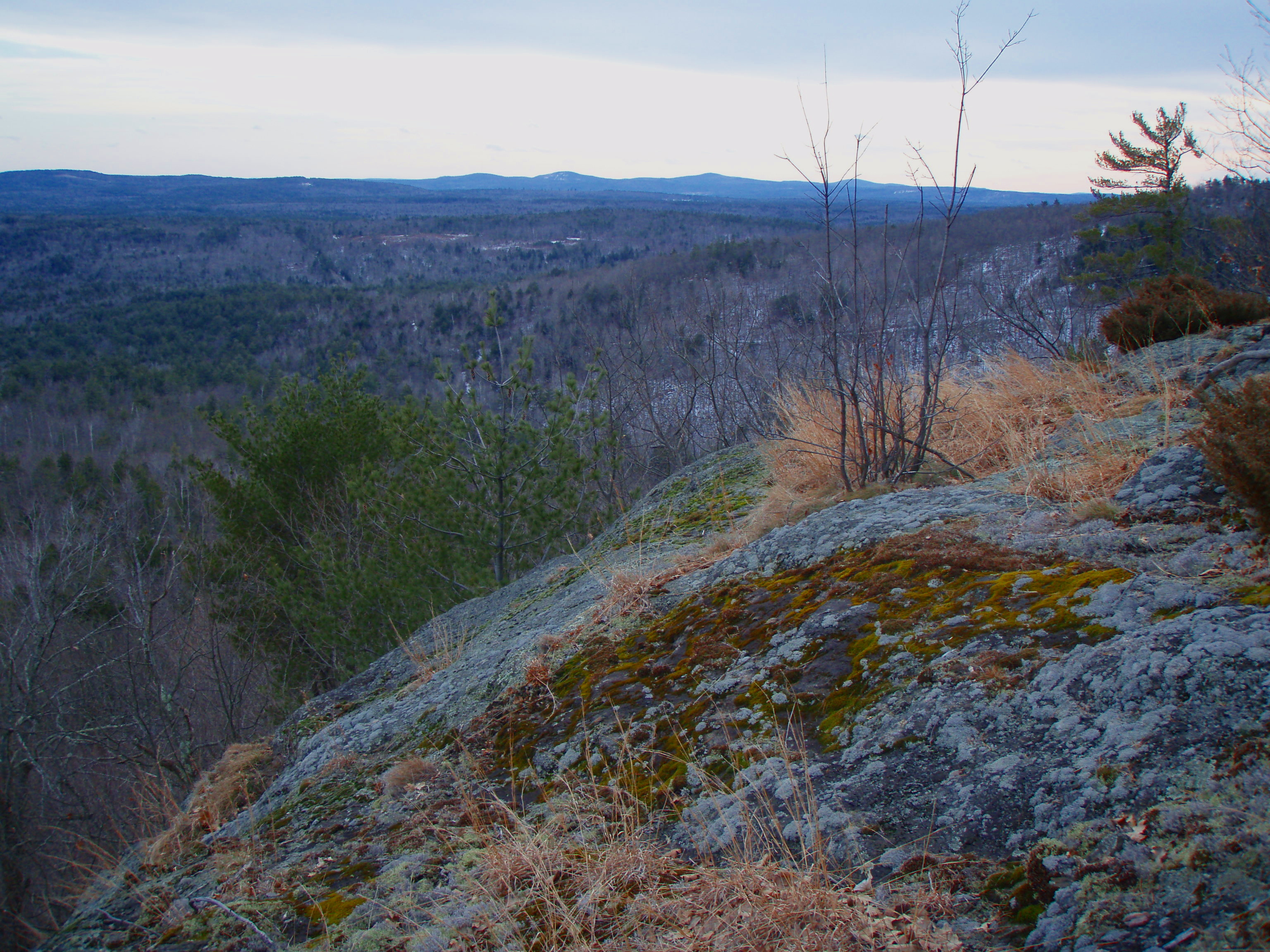
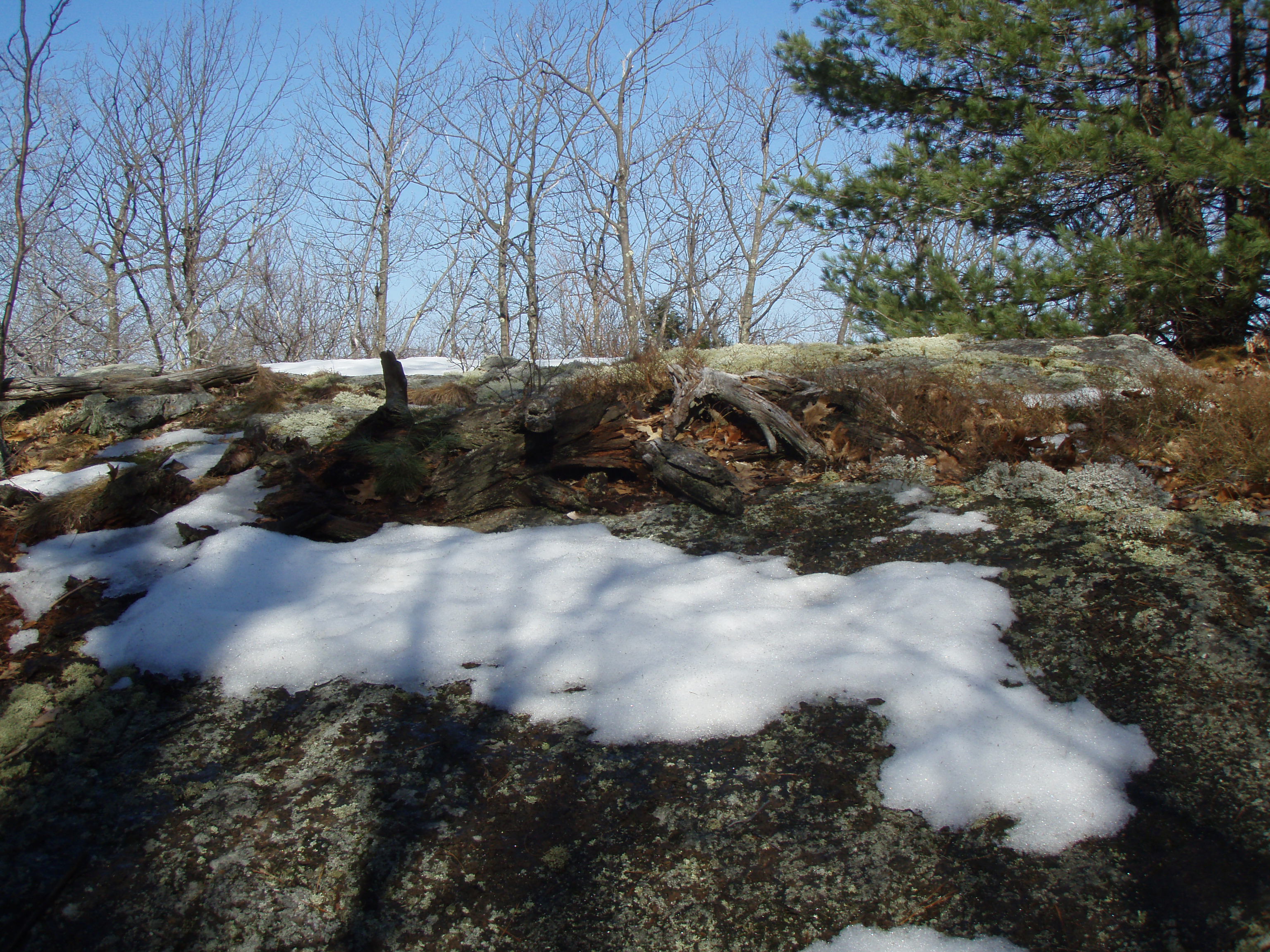
Beauty Ledge view
View to Beauty & Boulder ledges
The view...
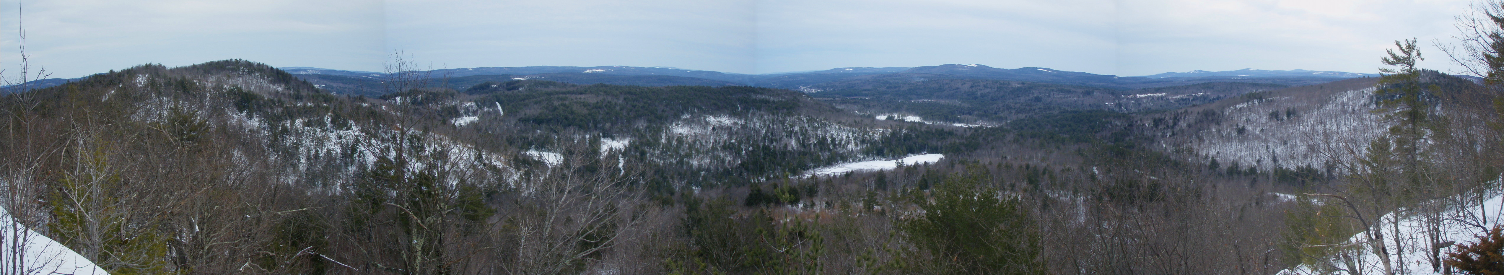
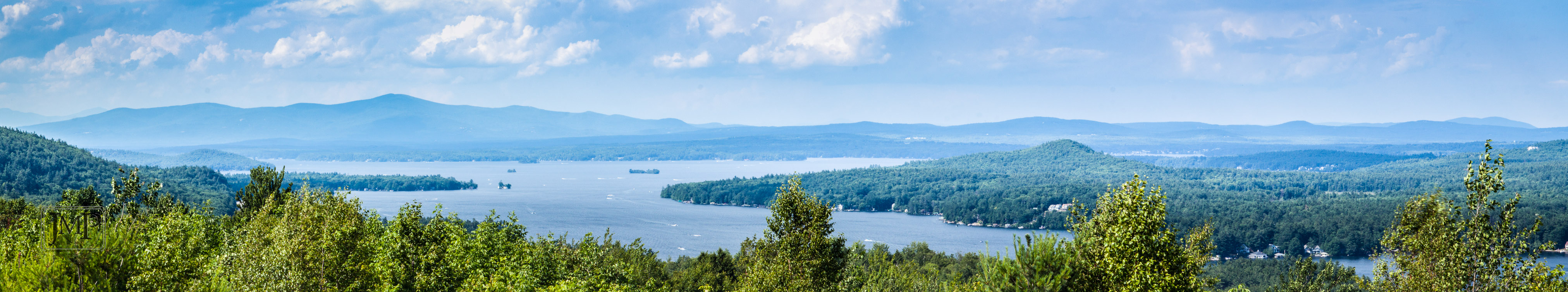
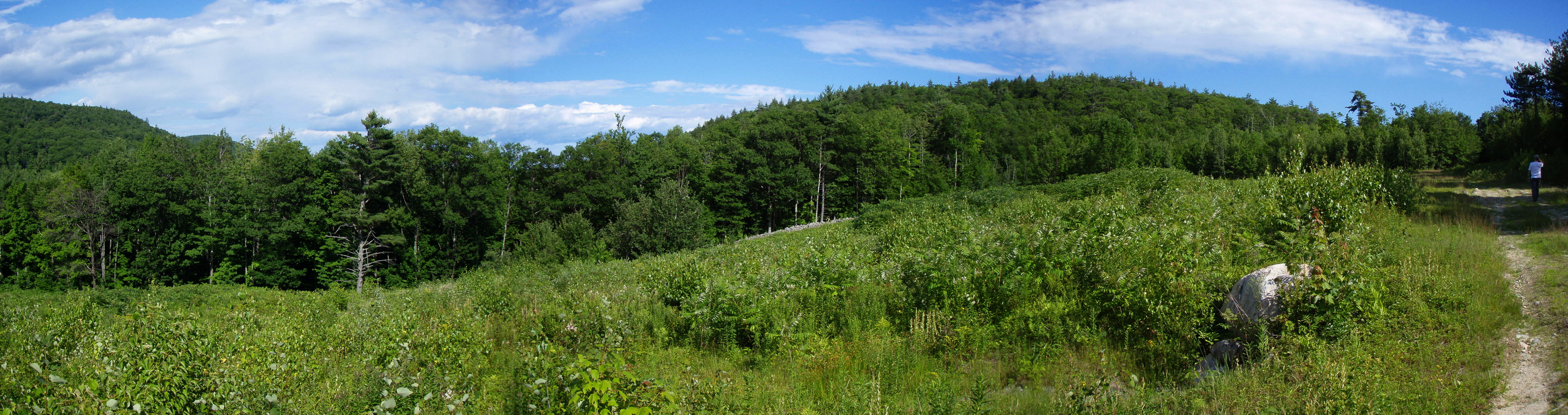
Beauty Ledge View 3-4-12 (pano)
View from Phoebe's Nable
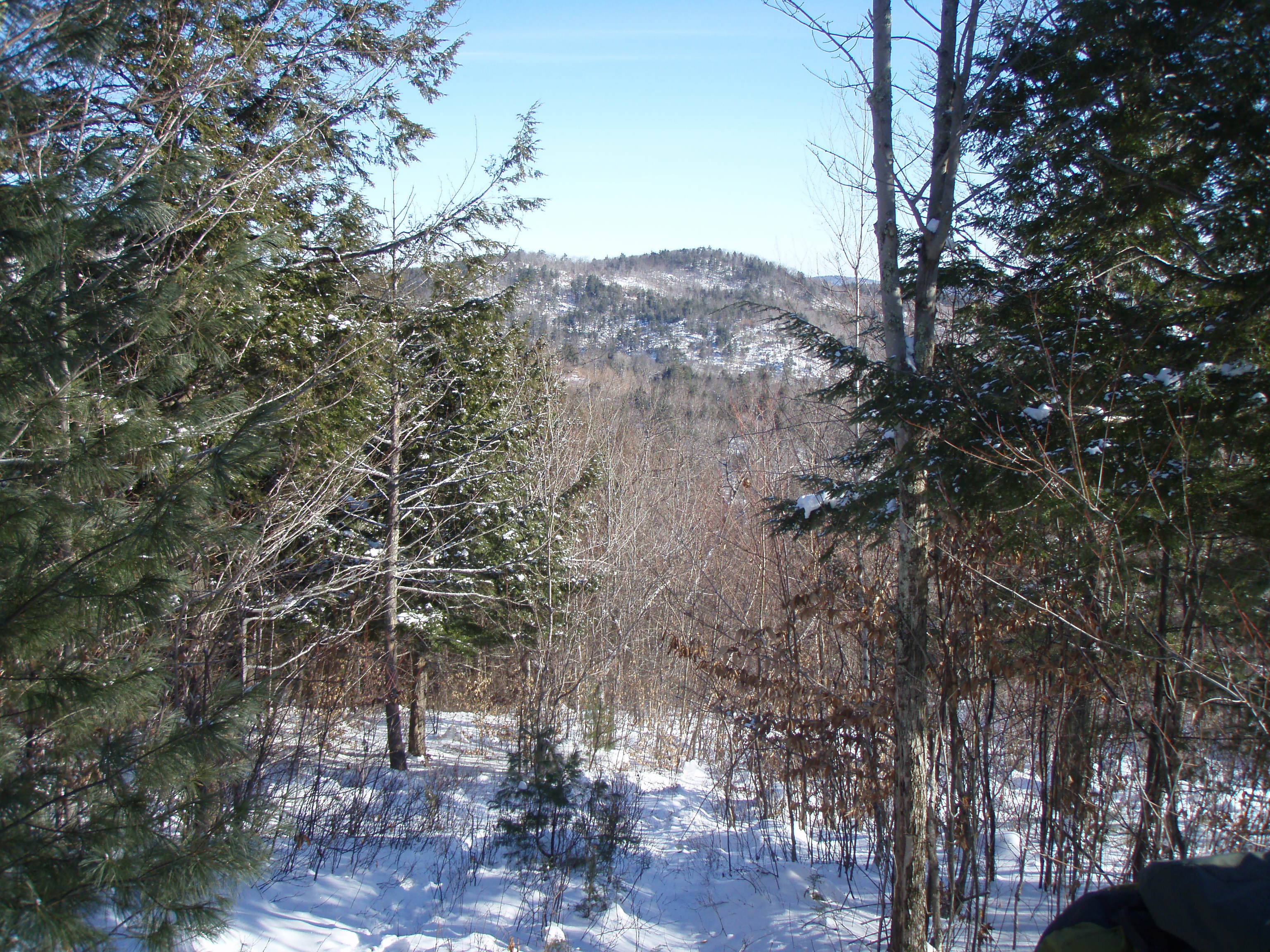
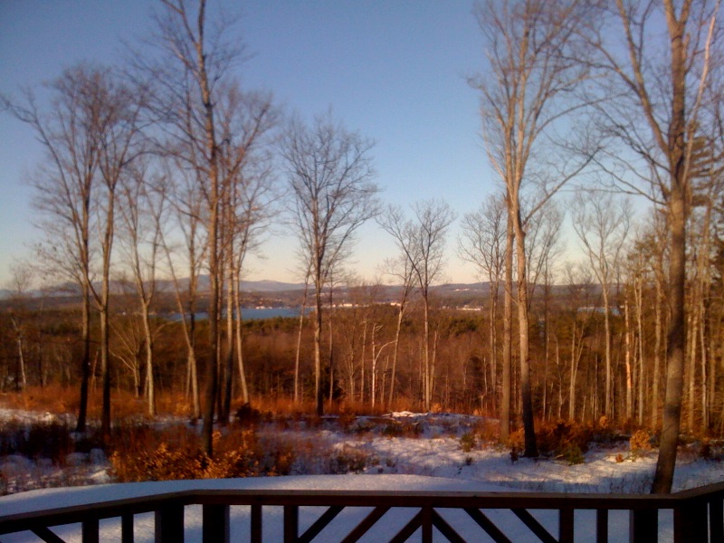
View up to Moose Mountains
View from Phoebes Nable Mt. summit
View East from Little Baldy
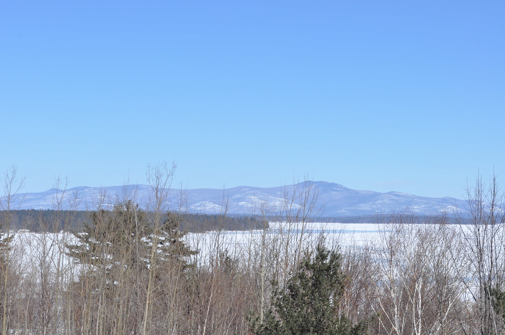
Ossipee Range from Alton

Beauty Ledge 180* View (pano)
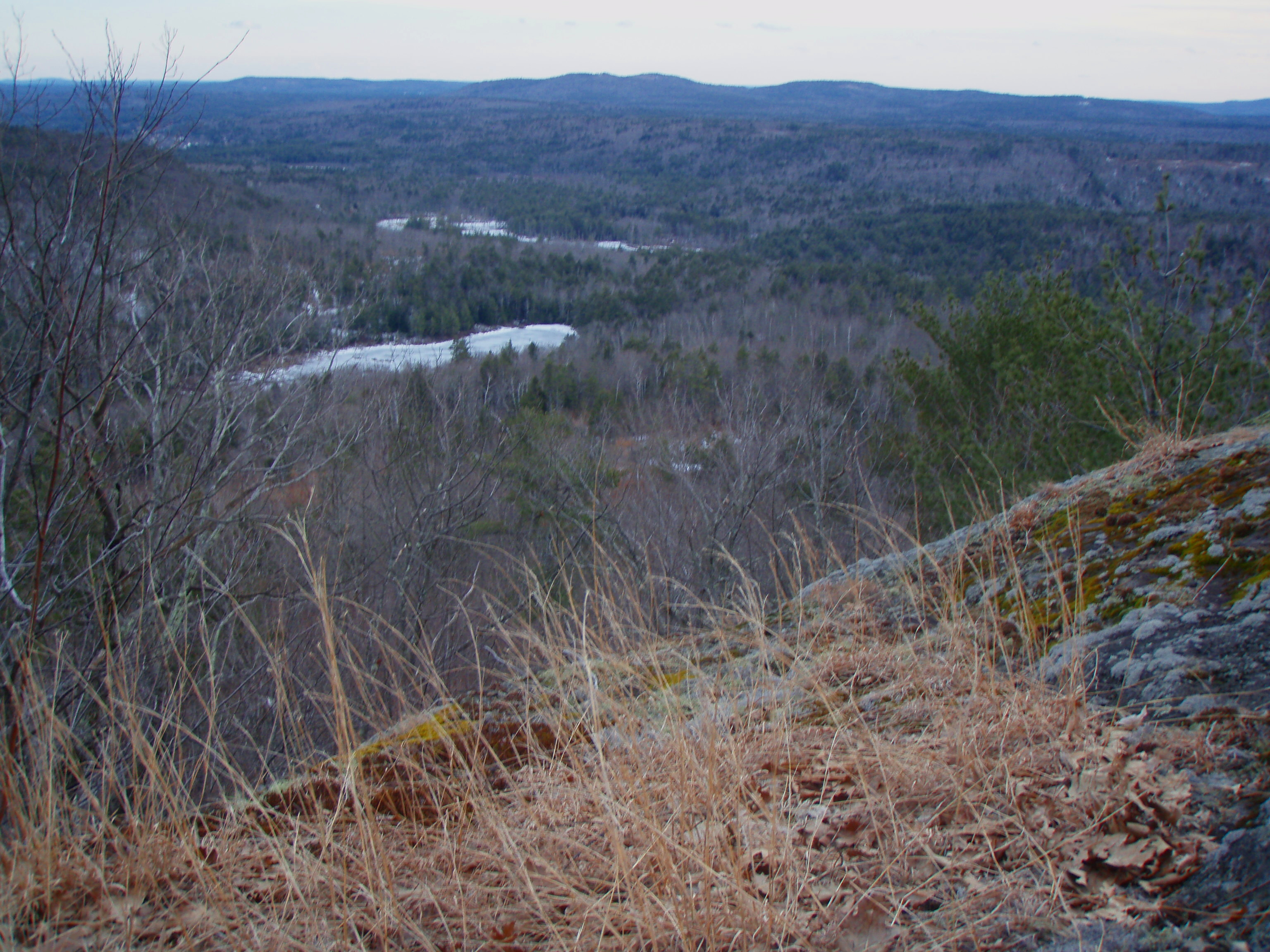
Beauty Ledge view

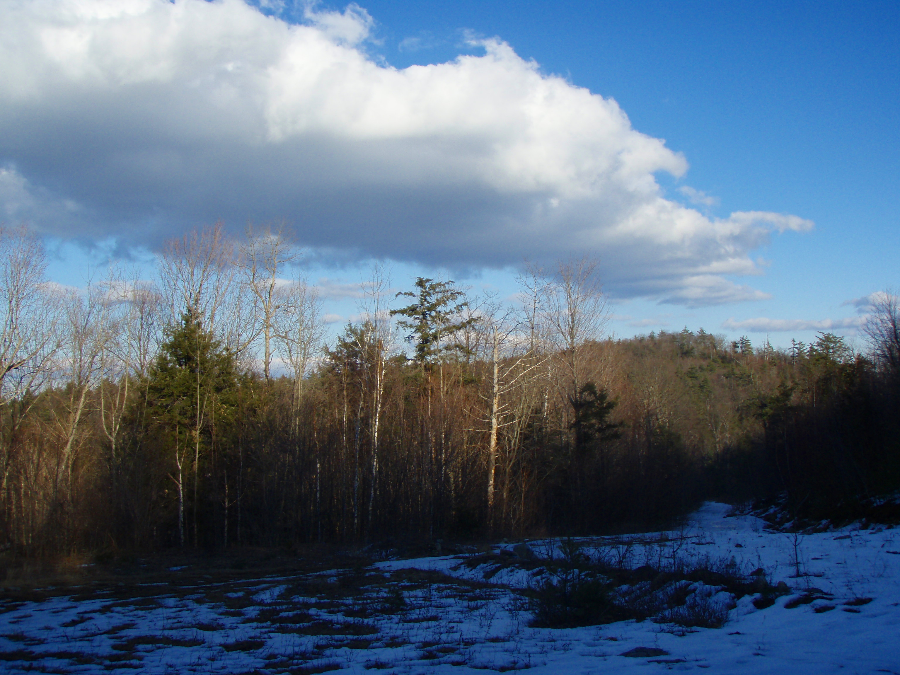
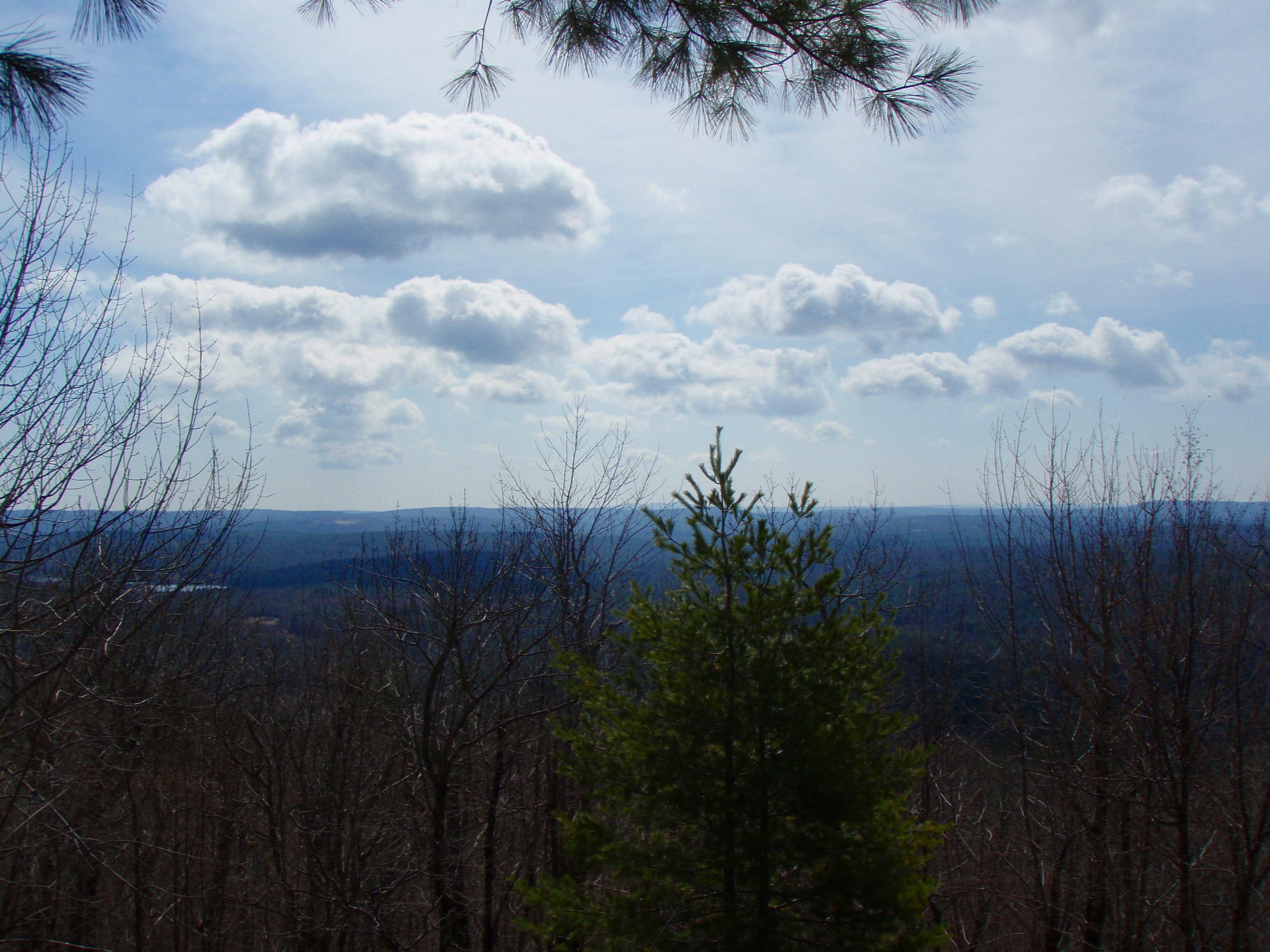
Into the Cloud

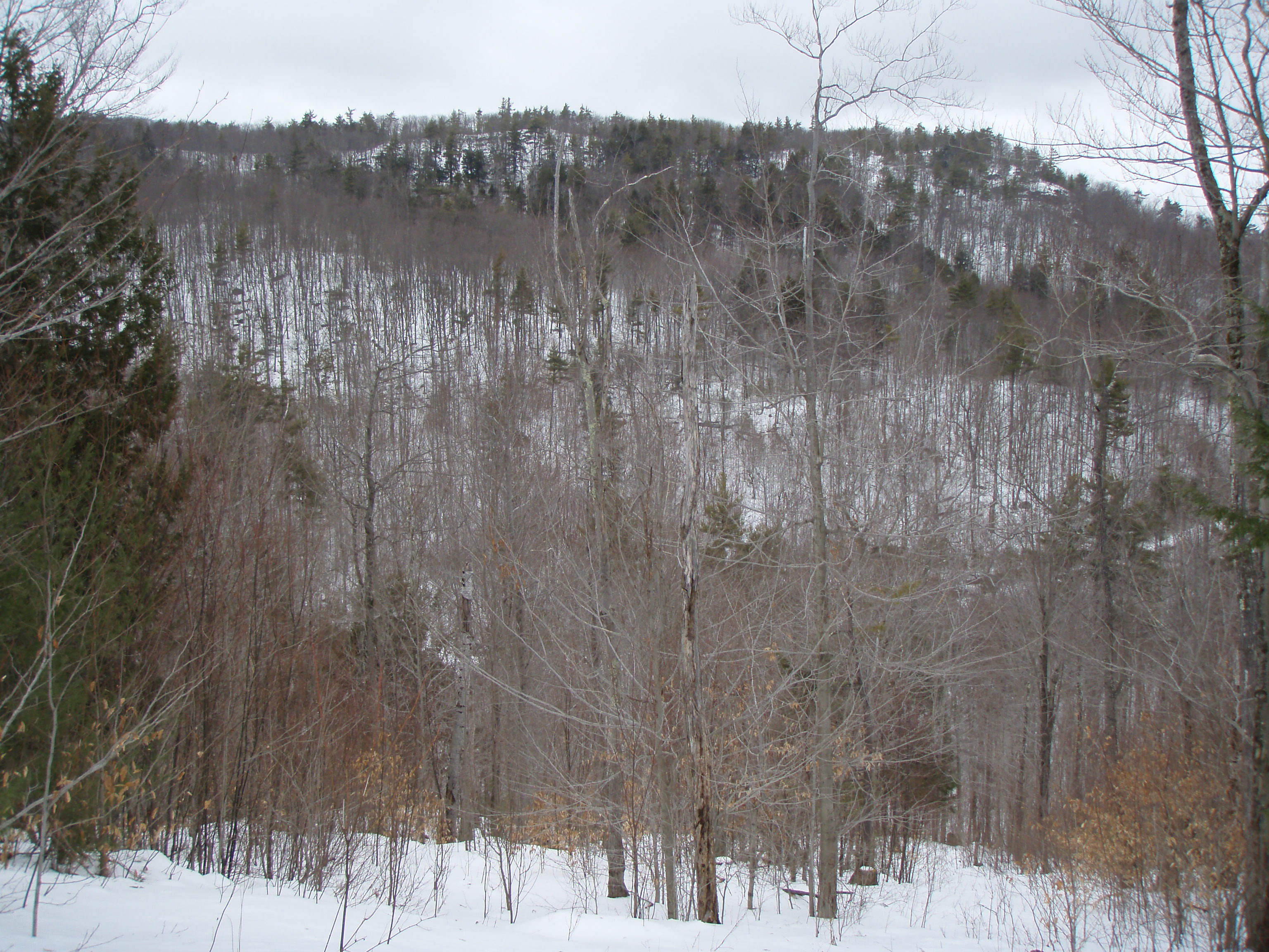
View through the trees to Moose Mountains
Summers End
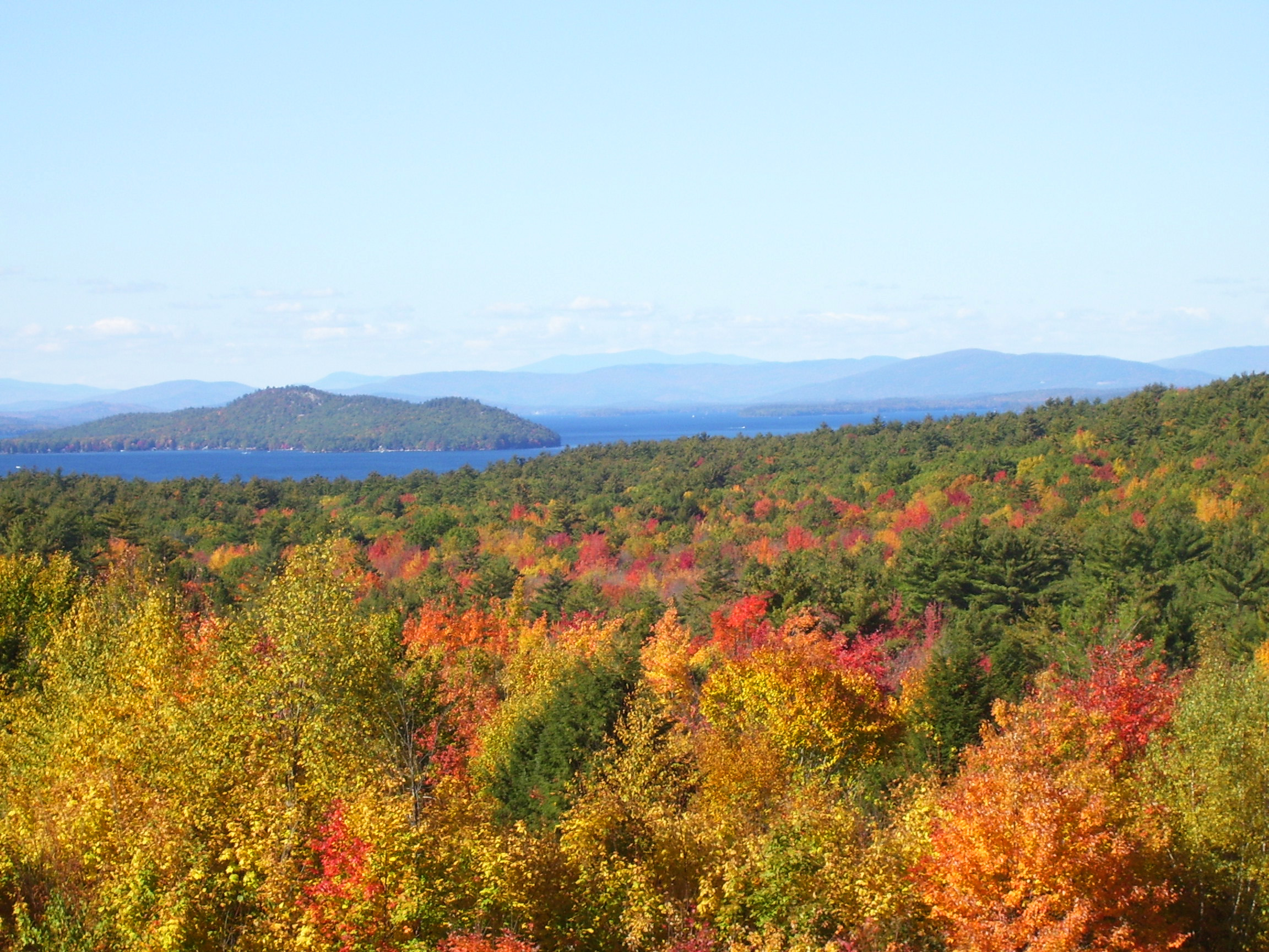
Lake Winnipesaukee in Autumn
View North from Little Baldy
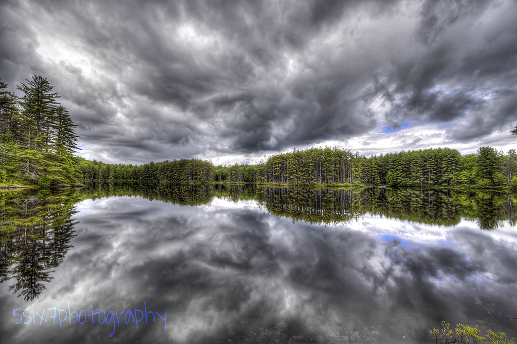
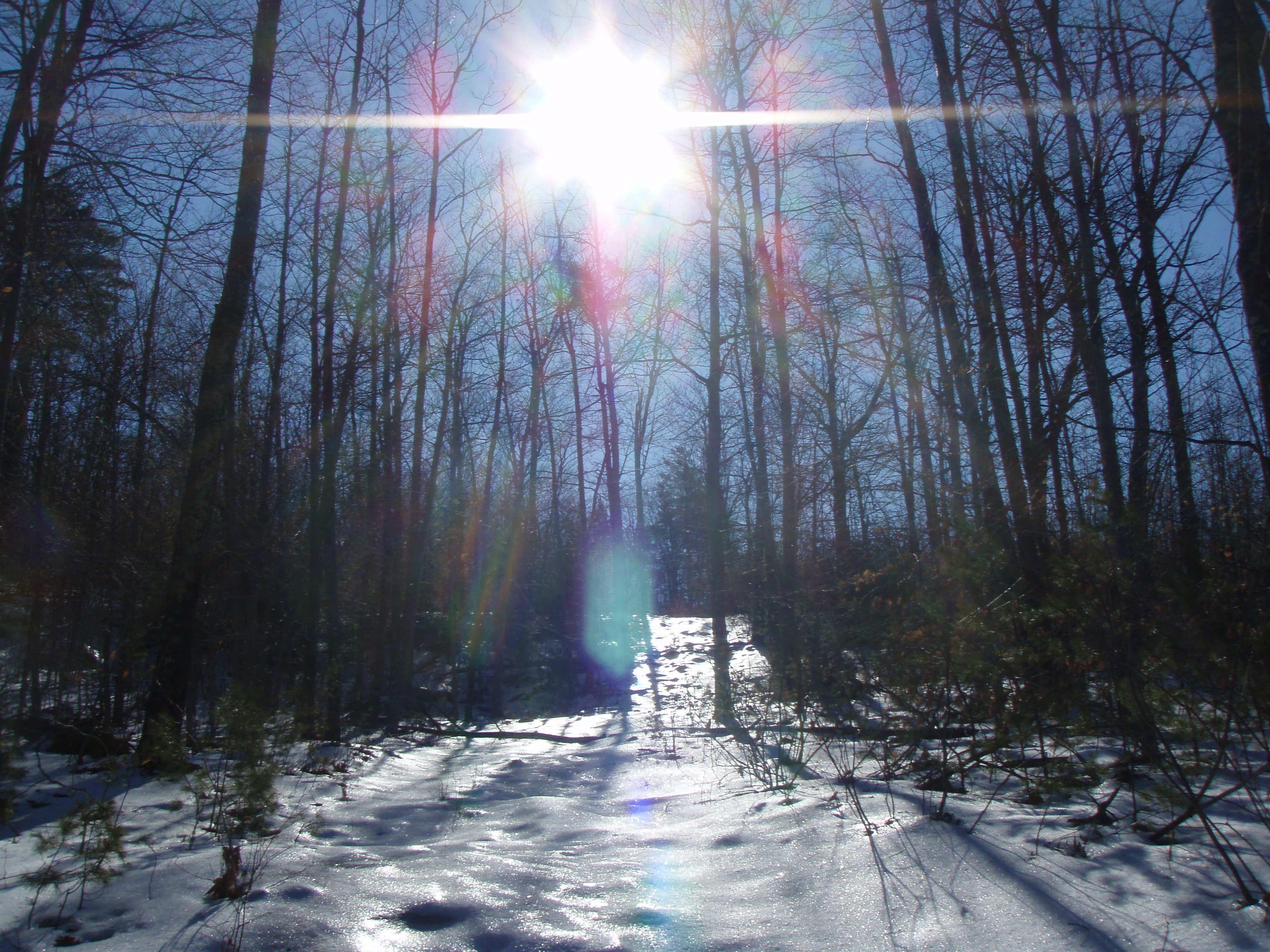
Cold Front HDR
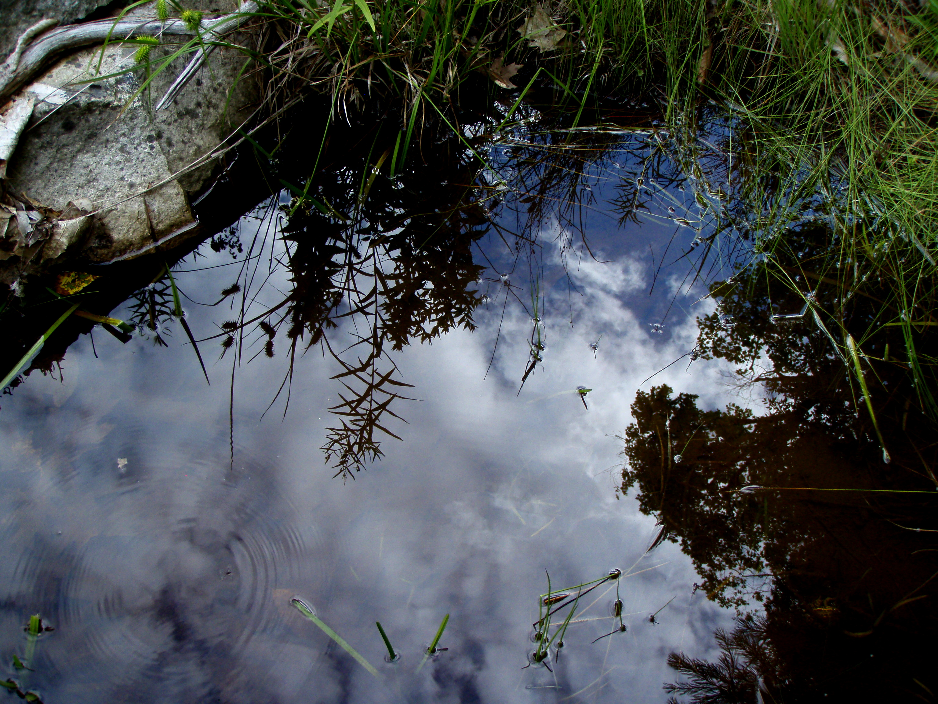
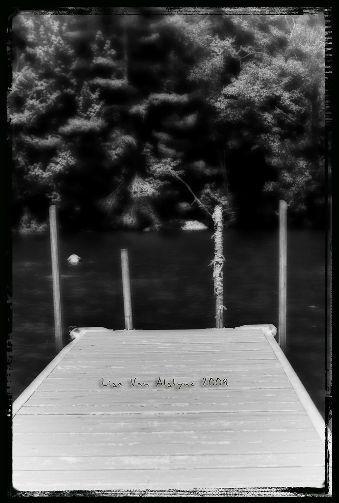
Reflection in a pool
Berry's River
An shiny Burrows Farm Trail

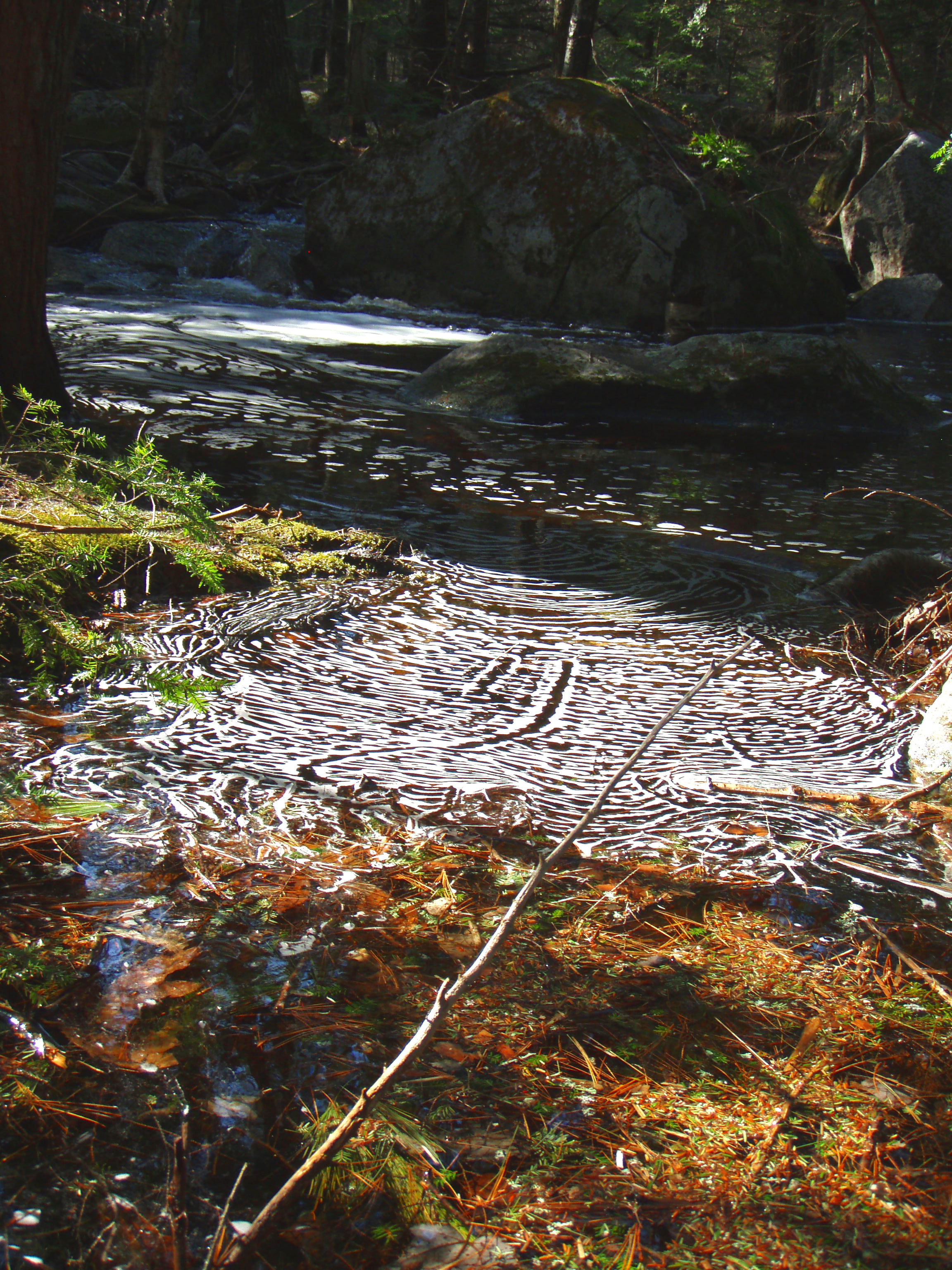
Burrows Brook

Over and Under
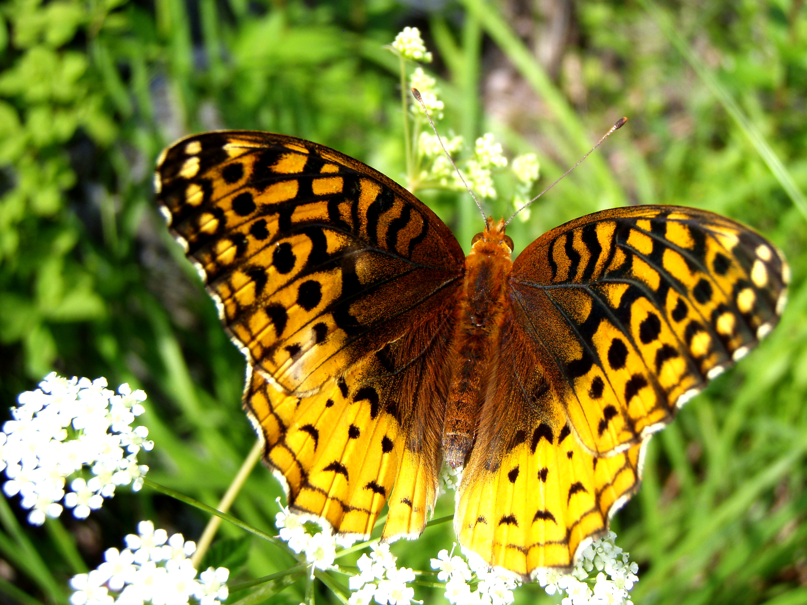
Aphrodite Fratillary
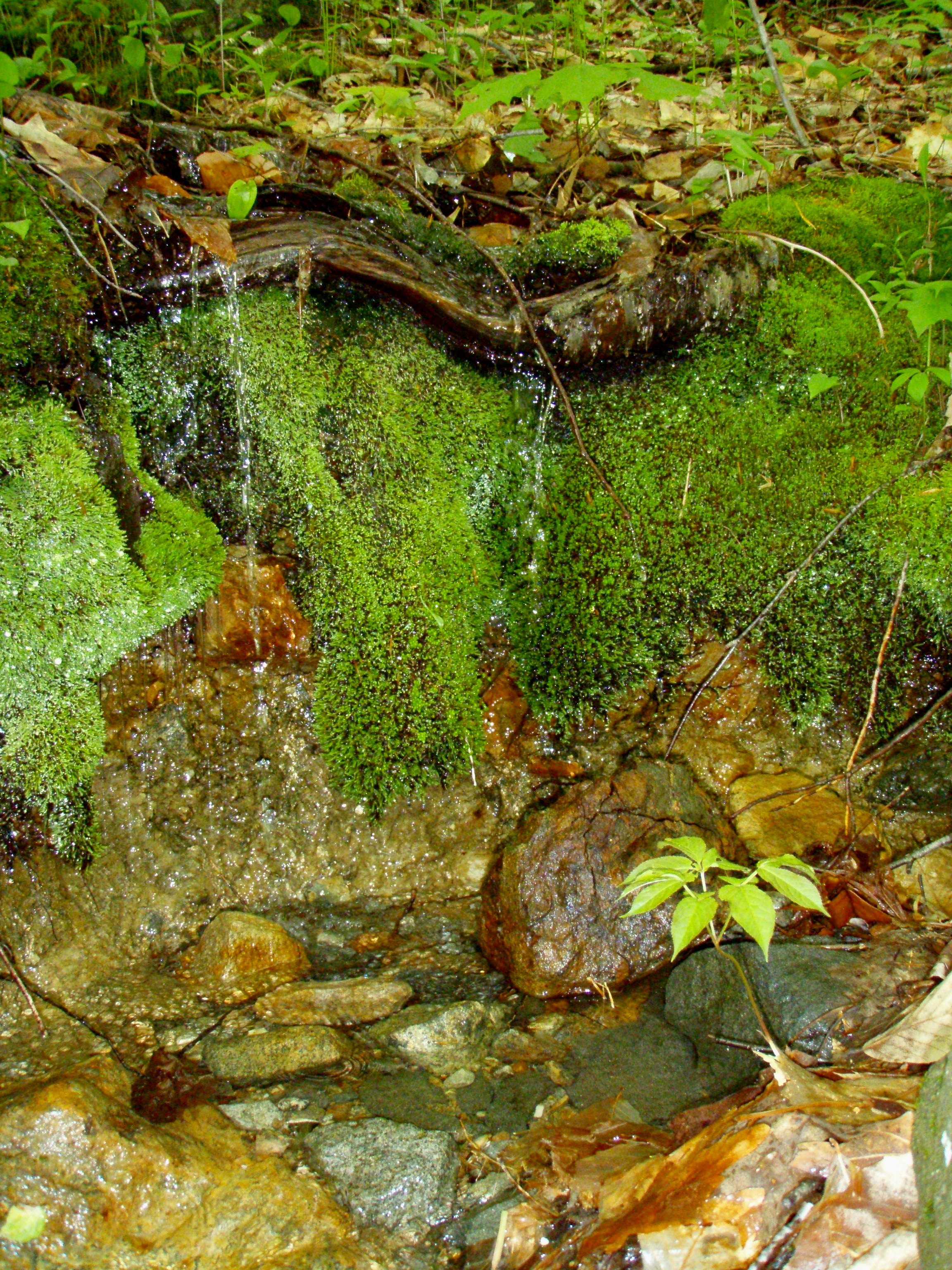
A Mossy Trickle

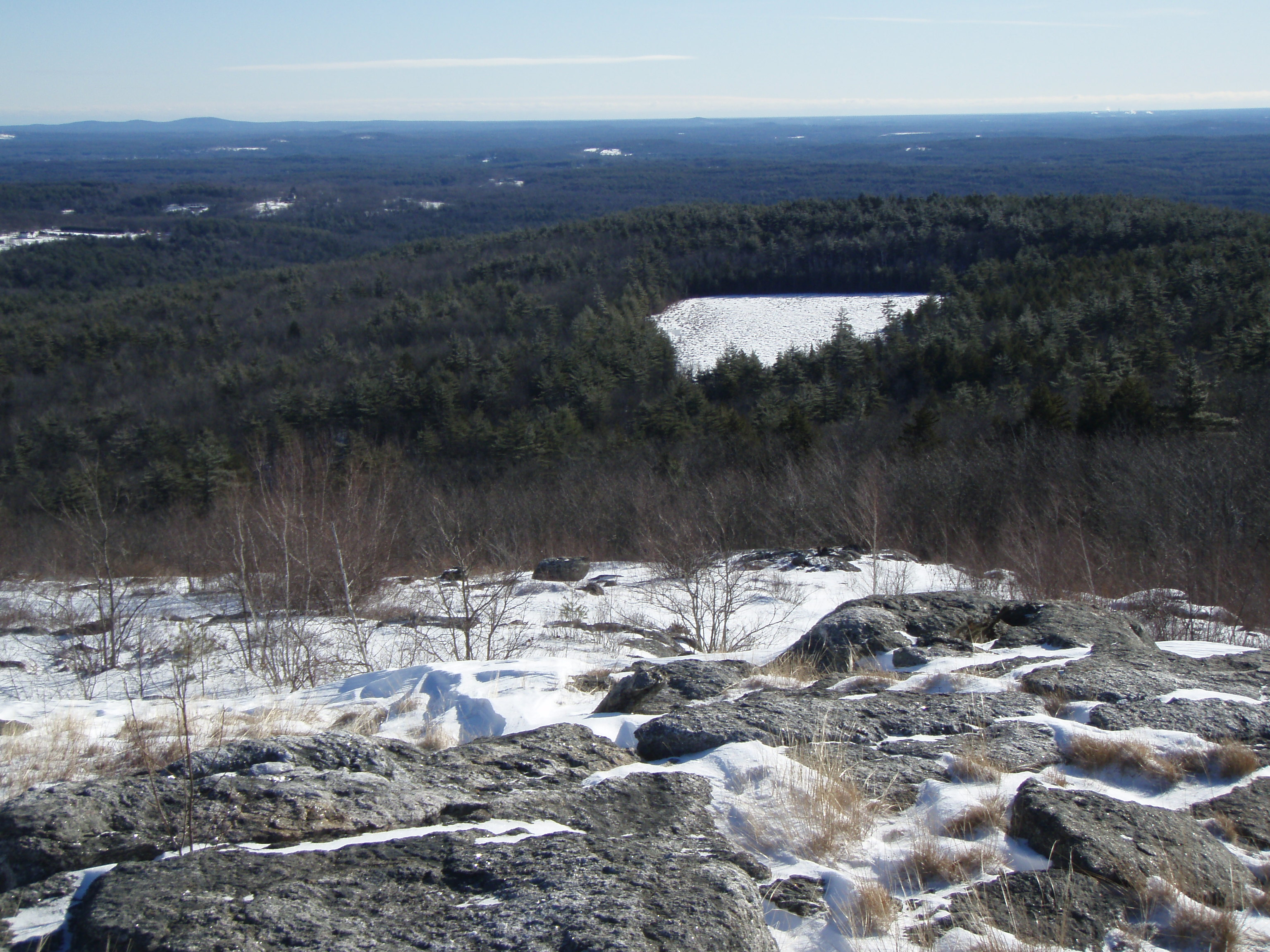
Knight's Pond (pano)

An Icy Burrows Brook
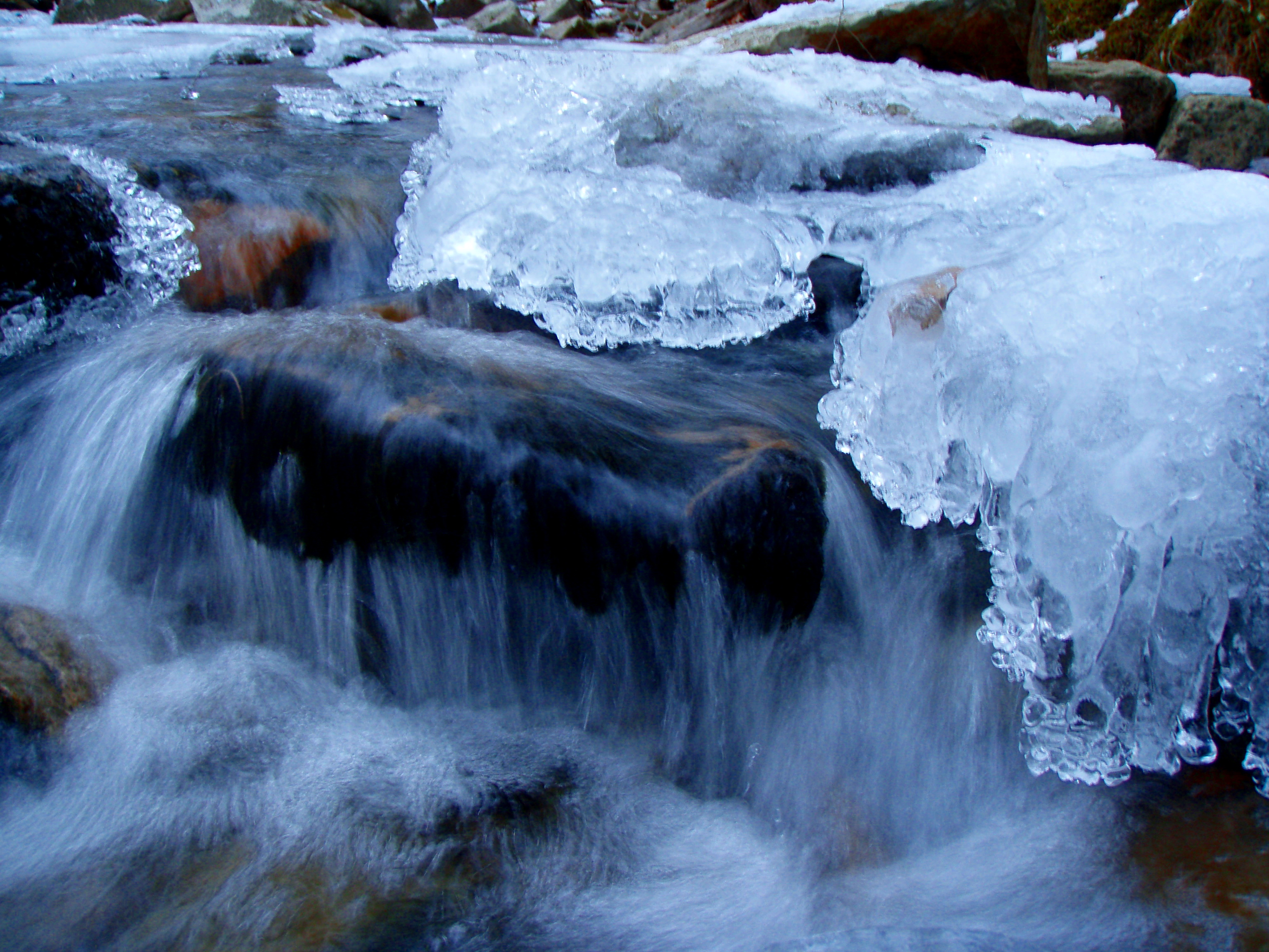
An Icy Burrows Brook
Beauty Knob
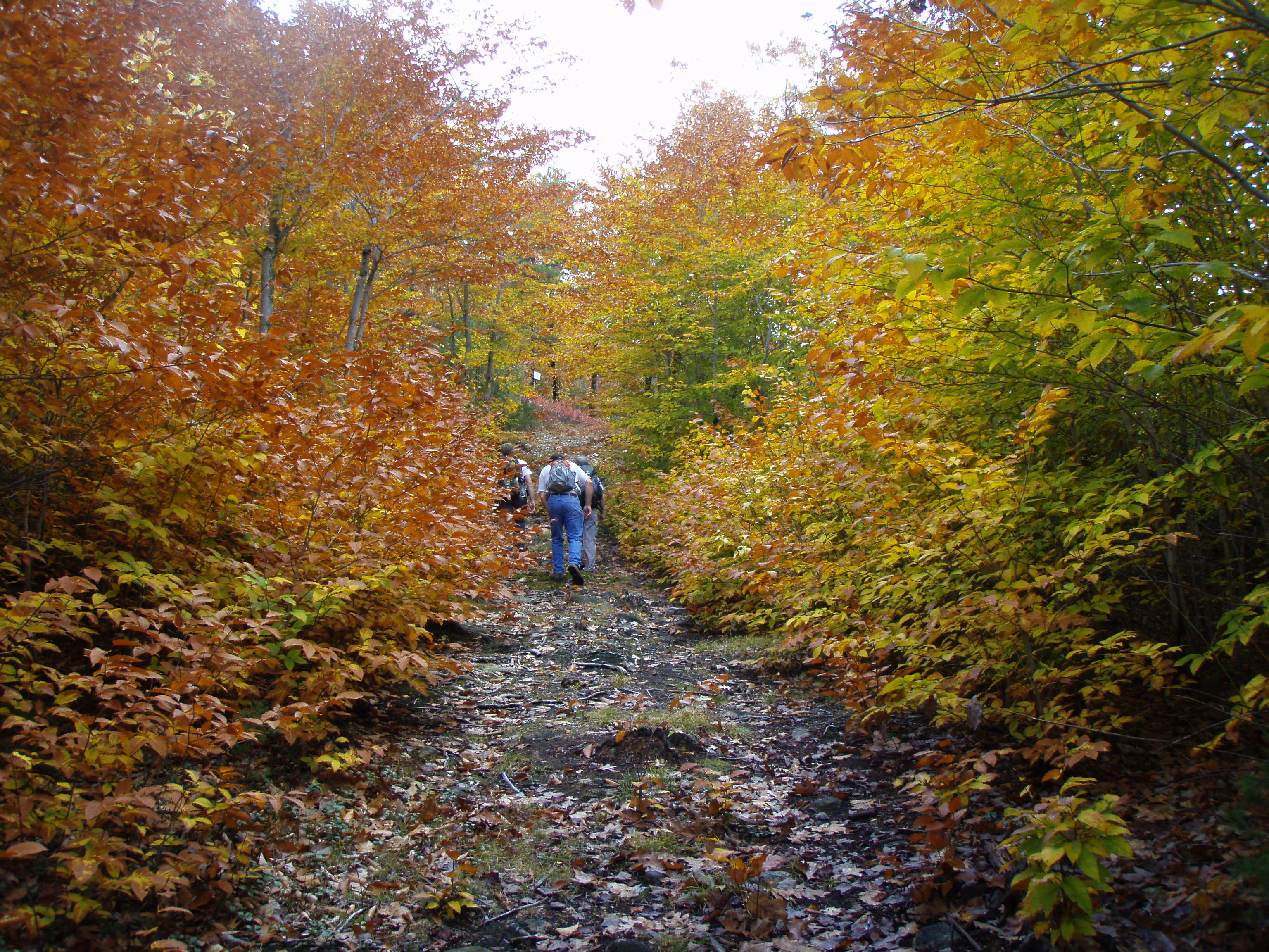
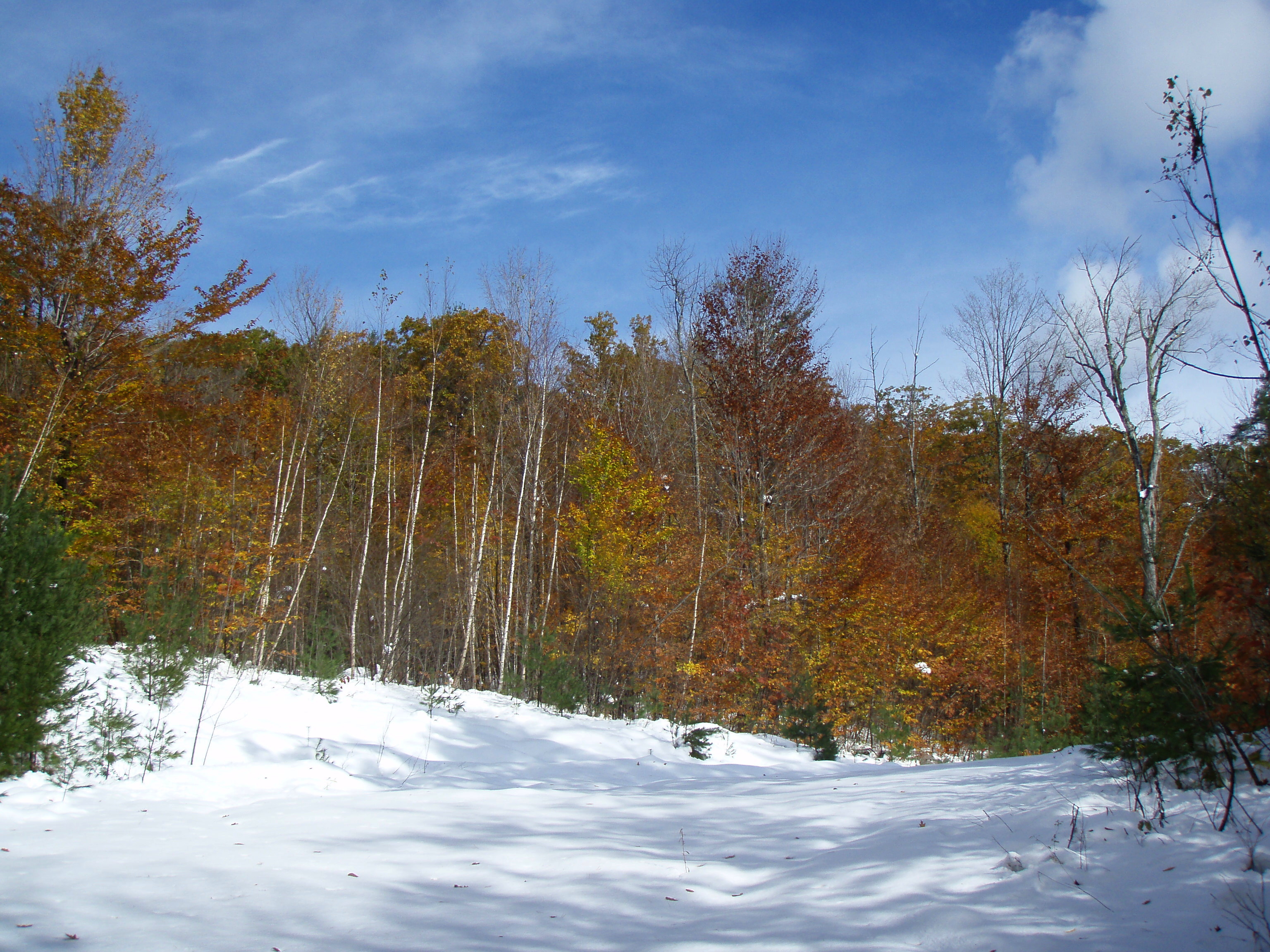
Foliage along Burrows Farm trail

New Hampshire - October 1975
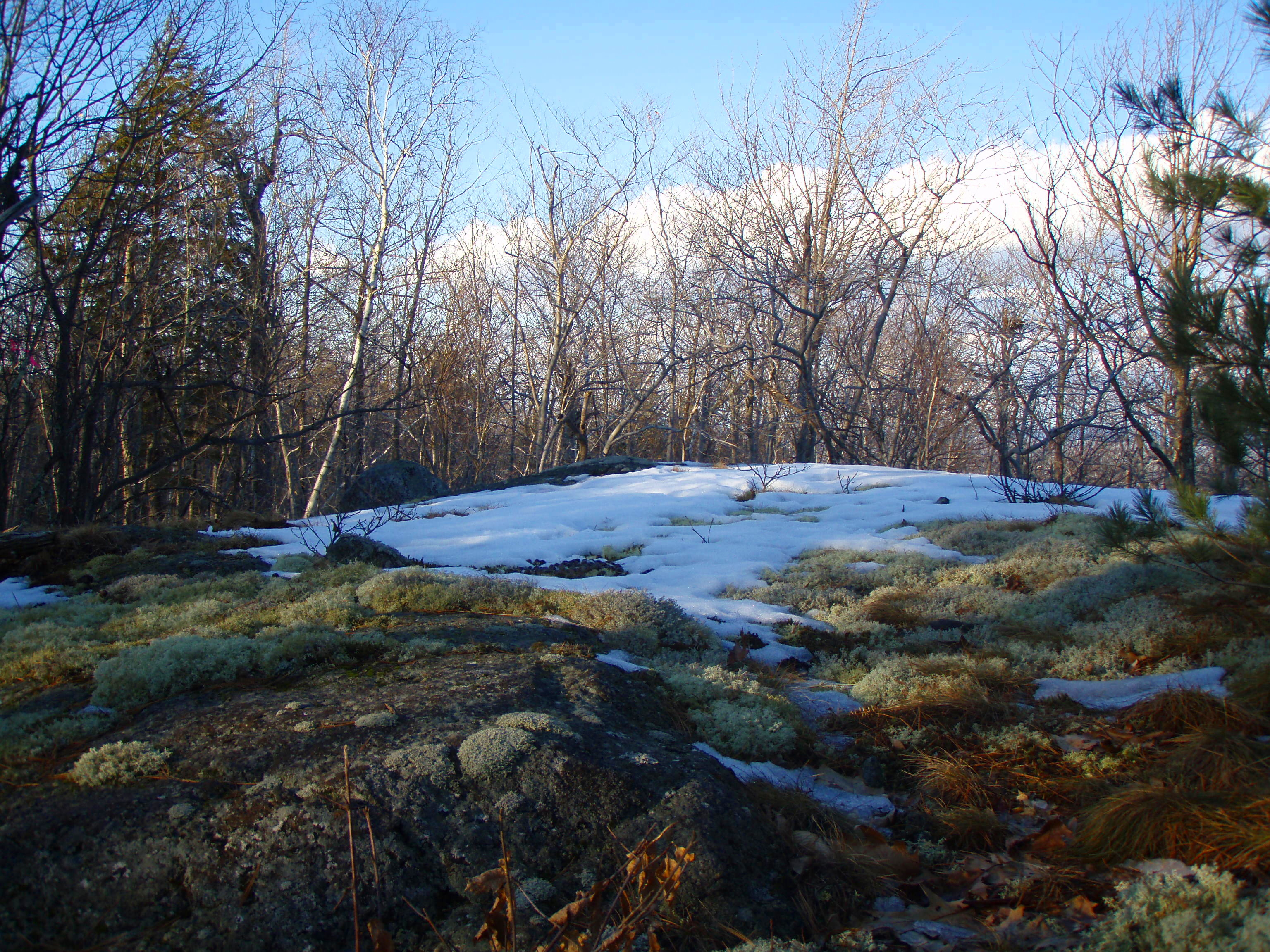
Beauty Ledge Knob
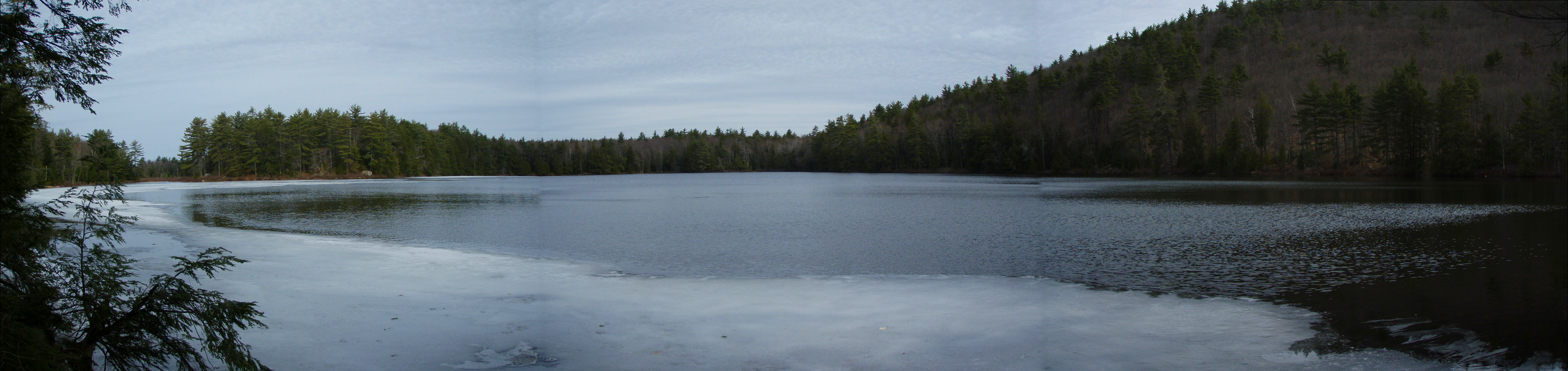
Knight's Pond (pano)
MMR (pano)
Topographic Map of Silver St, Middleton, NH, USA
Find elevation by address:

Places near Silver St, Middleton, NH, USA:
79 Nicola Rd
17 Gary Rd
Middleton Road
159 Drew Dr
Middleton
Kings Hwy, New Durham, NH, USA
288 Birch Hill Rd
303 Birch Hill Rd
Birch Hill Road
Camp Pride
Ridge Rd, Middleton, NH, USA
49 Birch Hill Rd
Union
7 Piper Mountain Dr
New Durham
Downing Pond Dam
Moose Mountain Road
119 Mountain Dr
23 Newport Dr
Rines Road
Recent Searches:
- Elevation of Corso Fratelli Cairoli, 35, Macerata MC, Italy
- Elevation of Tallevast Rd, Sarasota, FL, USA
- Elevation of 4th St E, Sonoma, CA, USA
- Elevation of Black Hollow Rd, Pennsdale, PA, USA
- Elevation of Oakland Ave, Williamsport, PA, USA
- Elevation of Pedrógão Grande, Portugal
- Elevation of Klee Dr, Martinsburg, WV, USA
- Elevation of Via Roma, Pieranica CR, Italy
- Elevation of Tavkvetili Mountain, Georgia
- Elevation of Hartfords Bluff Cir, Mt Pleasant, SC, USA