Elevation of Middleton Road, Middleton Rd, New Durham, NH, USA
Location: United States > New Hampshire > Strafford County > New Durham >
Longitude: -71.108916
Latitude: 43.4431692
Elevation: -10000m / -32808feet
Barometric Pressure: 295KPa
Elevation Map:
Satellite Map:
Related Photos:

Rattlesnake Island

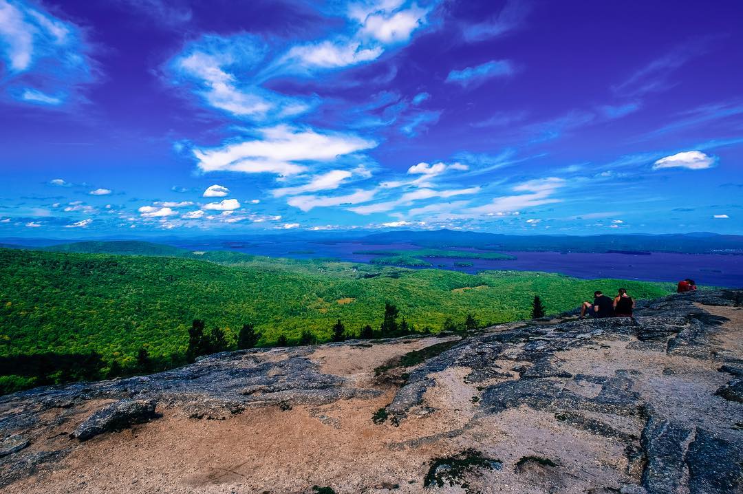
View from Mt. Major.

View from upper landing on North Trail

Alton Bay from above

Walking at sunset, spied this view reflecting off the ice.

View from Little Baldy Pan

The view...

Beauty Ledge View 3-4-12 (pano)

Blue Mountain

View East from Little Baldy

Ossipee Range from Alton

View from Phoebes Nable Mt. summit

Beauty Ledge 180* View (pano)

View up to Moose Mountains

View from Phoebe's Nable

Icy Rocks

View across Bowser Pond from Beauty Ledge

Lake Winnipesaukee in Autumn

View North from Little Baldy

Rt. 11 View.jpg

Summers End
#newhampshire #mountmajor #landscape #landscapephotography #landscape_lovers #landscape_captures #lookingforthesummer #newhampshire #whitemountains #whitemountaineering #canon

Glow curve
Cold Front HDR

#whitemountains #whitemountaineering #lookingforthesummer #summer #hiking #dogs #yellowlab #goldenretriever #canon #newhampshire #landscape #landscape_lovers #landscapephotography #landscape_captures

Time Saver...

Lovell Lake in Sanbornville

Over and Under

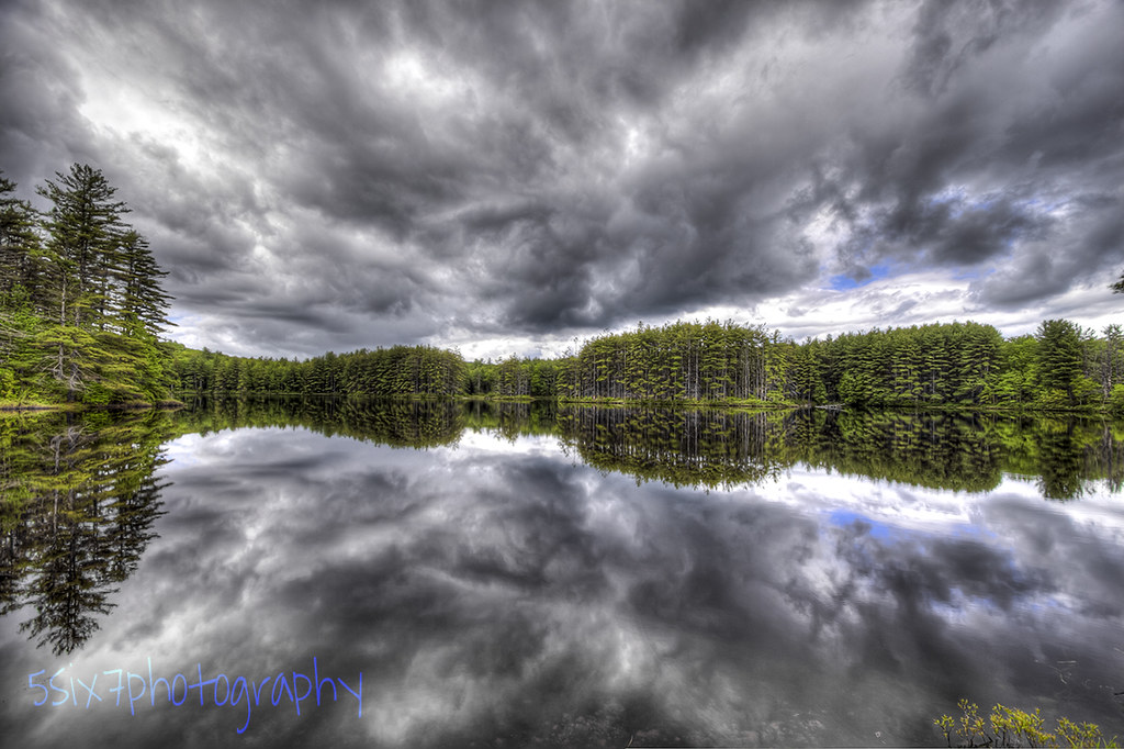
Hanson Brook, Brookfield, New Hampshire

Reflection in a pool

Wharves at Lake Winnipesawkee-6240090

An shiny Burrows Farm Trail

Burrows Brook

Sunrise Fire Over Baxter Lake

A Mossy Trickle

Knight's Pond (pano)

Burrows Field

An Icy Burrows Brook

The Woods Of New Hampshire...

An Icy Burrows Brook
Topographic Map of Middleton Road, Middleton Rd, New Durham, NH, USA
Find elevation by address:

Places near Middleton Road, Middleton Rd, New Durham, NH, USA:
222 Silver St
17 Gary Rd
288 Birch Hill Rd
303 Birch Hill Rd
79 Nicola Rd
159 Drew Dr
Birch Hill Road
49 Birch Hill Rd
Camp Pride
Middleton
Kings Hwy, New Durham, NH, USA
New Durham
Downing Pond Dam
Ridge Rd, Middleton, NH, USA
27 Baxter Pl
35 Baxter Pl
25 Baxter Pl
33 Baxter Pl
119 Mountain Dr
Union
Recent Searches:
- Elevation of Corso Fratelli Cairoli, 35, Macerata MC, Italy
- Elevation of Tallevast Rd, Sarasota, FL, USA
- Elevation of 4th St E, Sonoma, CA, USA
- Elevation of Black Hollow Rd, Pennsdale, PA, USA
- Elevation of Oakland Ave, Williamsport, PA, USA
- Elevation of Pedrógão Grande, Portugal
- Elevation of Klee Dr, Martinsburg, WV, USA
- Elevation of Via Roma, Pieranica CR, Italy
- Elevation of Tavkvetili Mountain, Georgia
- Elevation of Hartfords Bluff Cir, Mt Pleasant, SC, USA