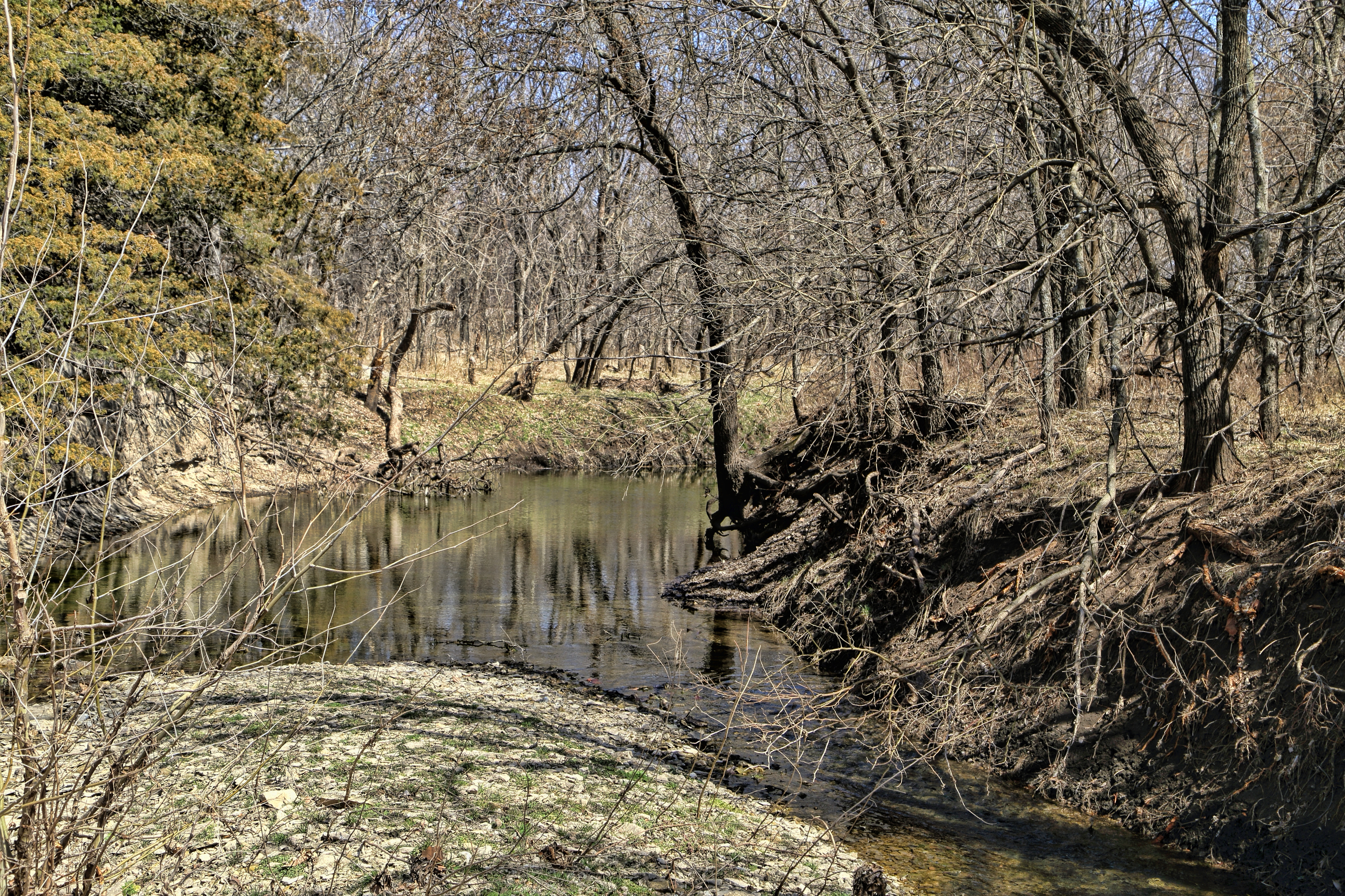
Elevation of Silver Creek, KS, USA
Location: United States > Kansas > Cowley County >
Longitude: -96.7708138
Latitude: 37.3385848
Elevation: 420m / 1378feet
Barometric Pressure: 0KPa
Related Photos:
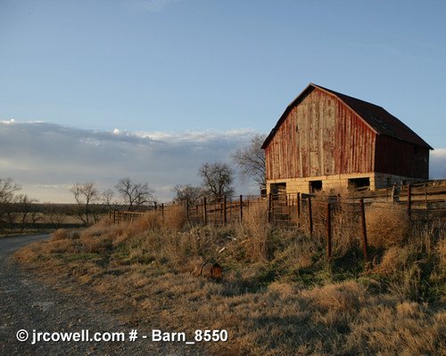
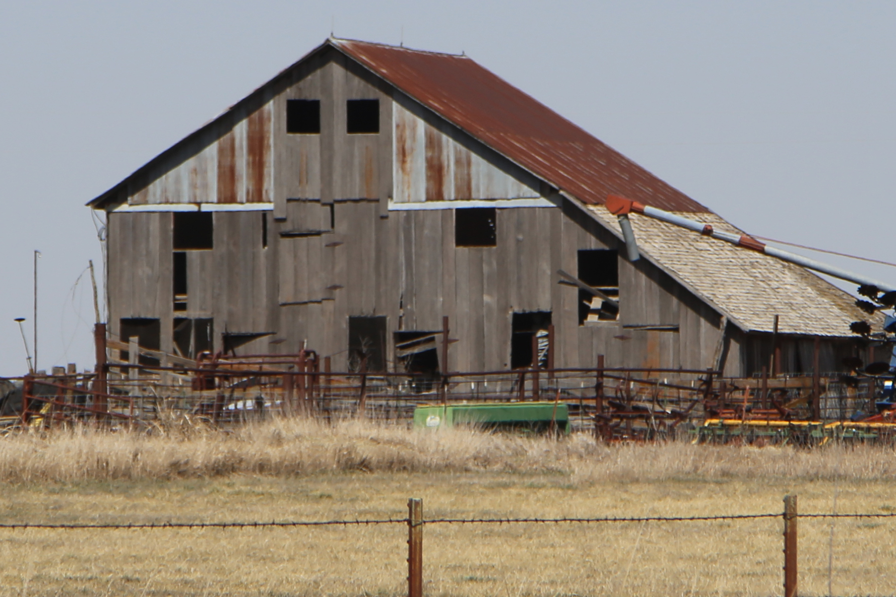
Barn in Cowley County, Kansas
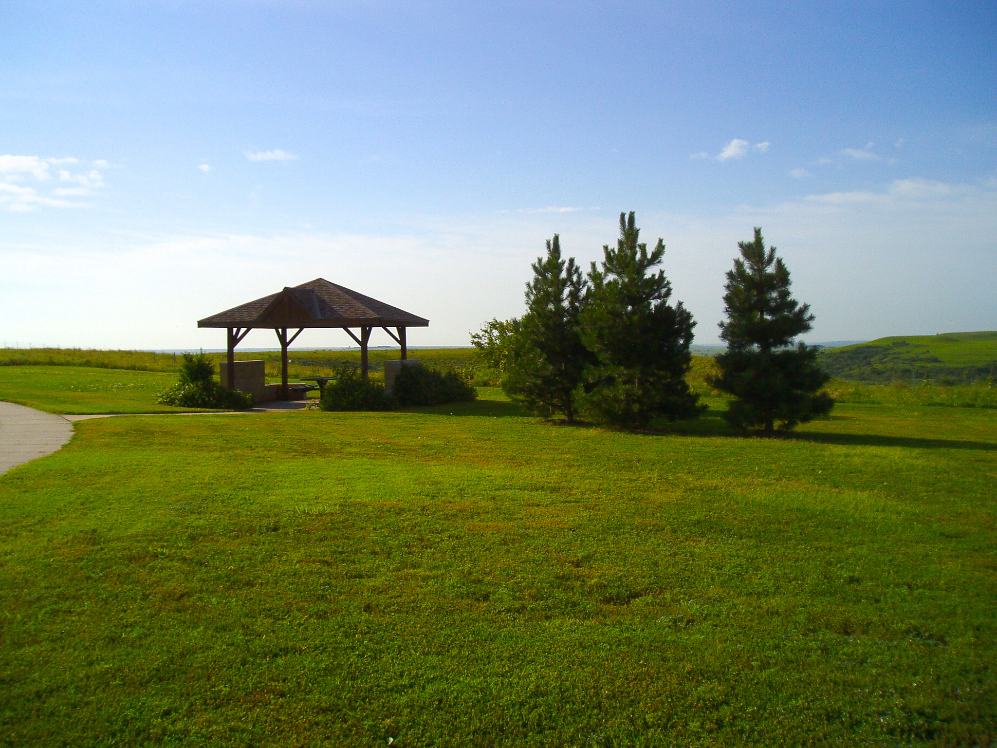
Kansas Rest Stop
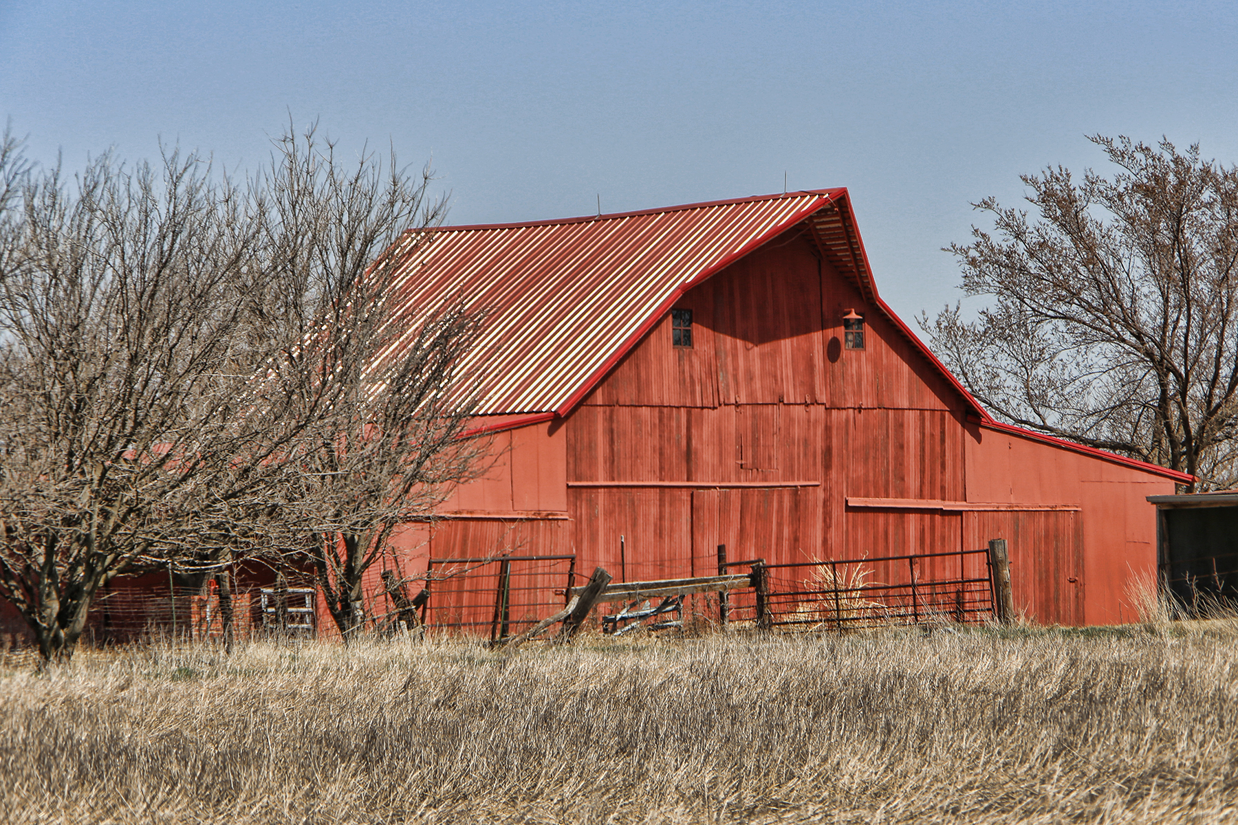
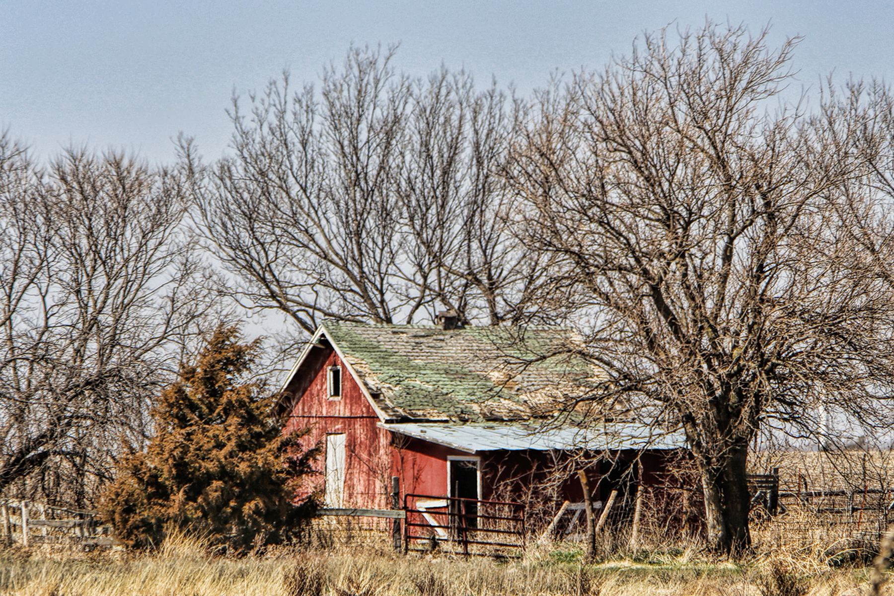
Red Barn
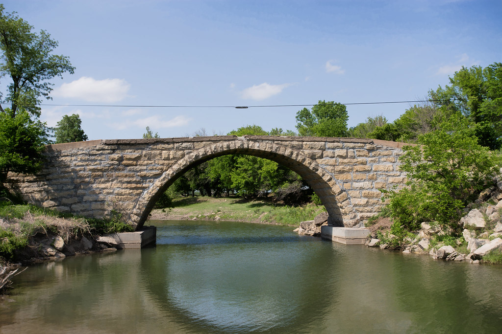
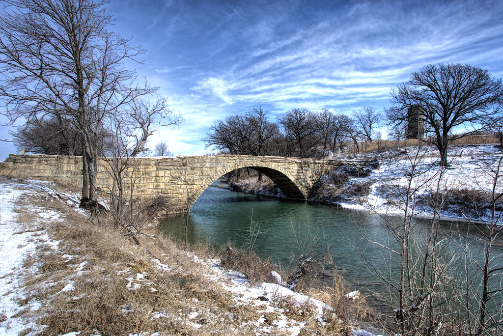
Fromm Bridge
Fox Bridge - collapsed in October 2016 by a flood

Jon and Amanda Lloyd
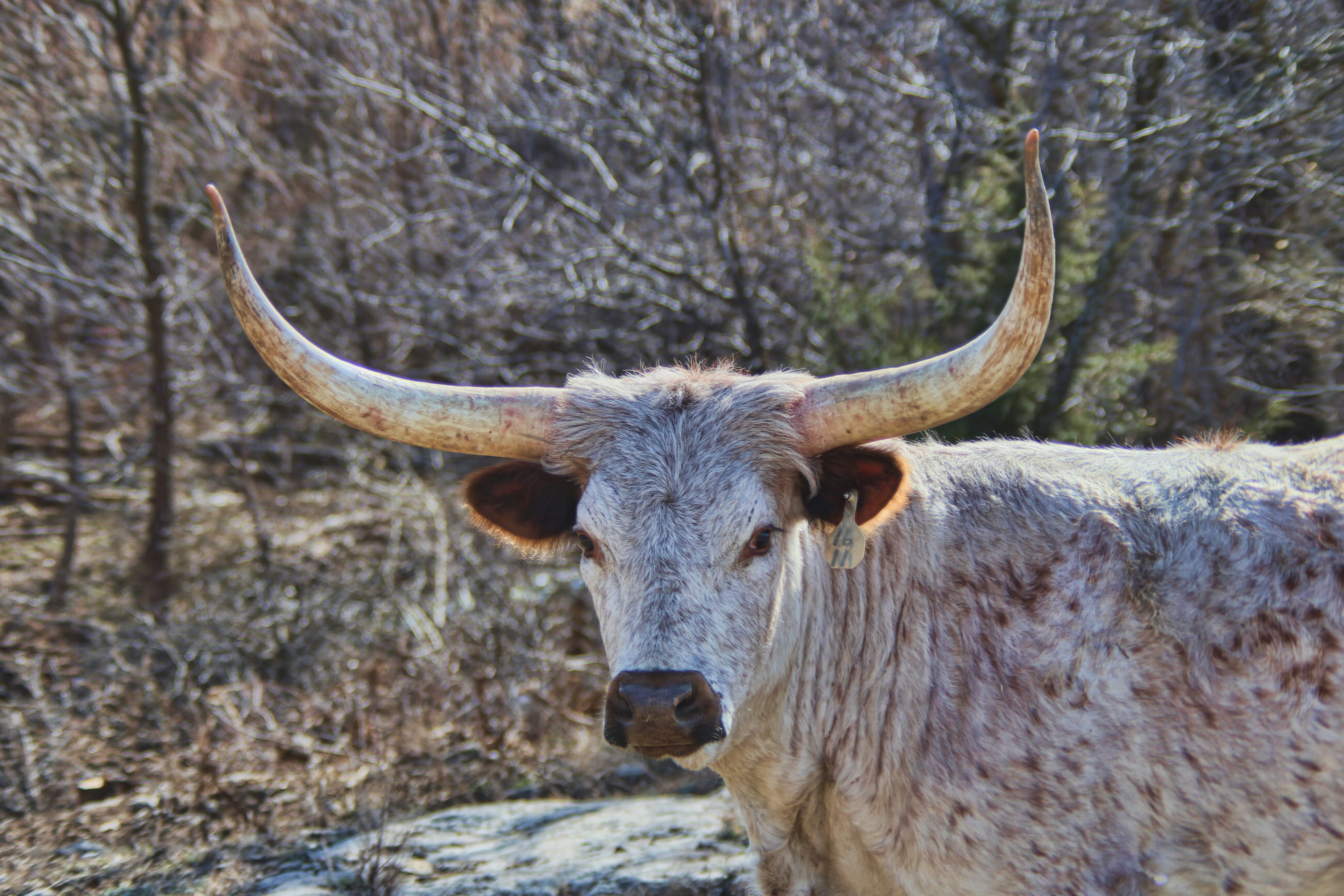
Bull in the woods

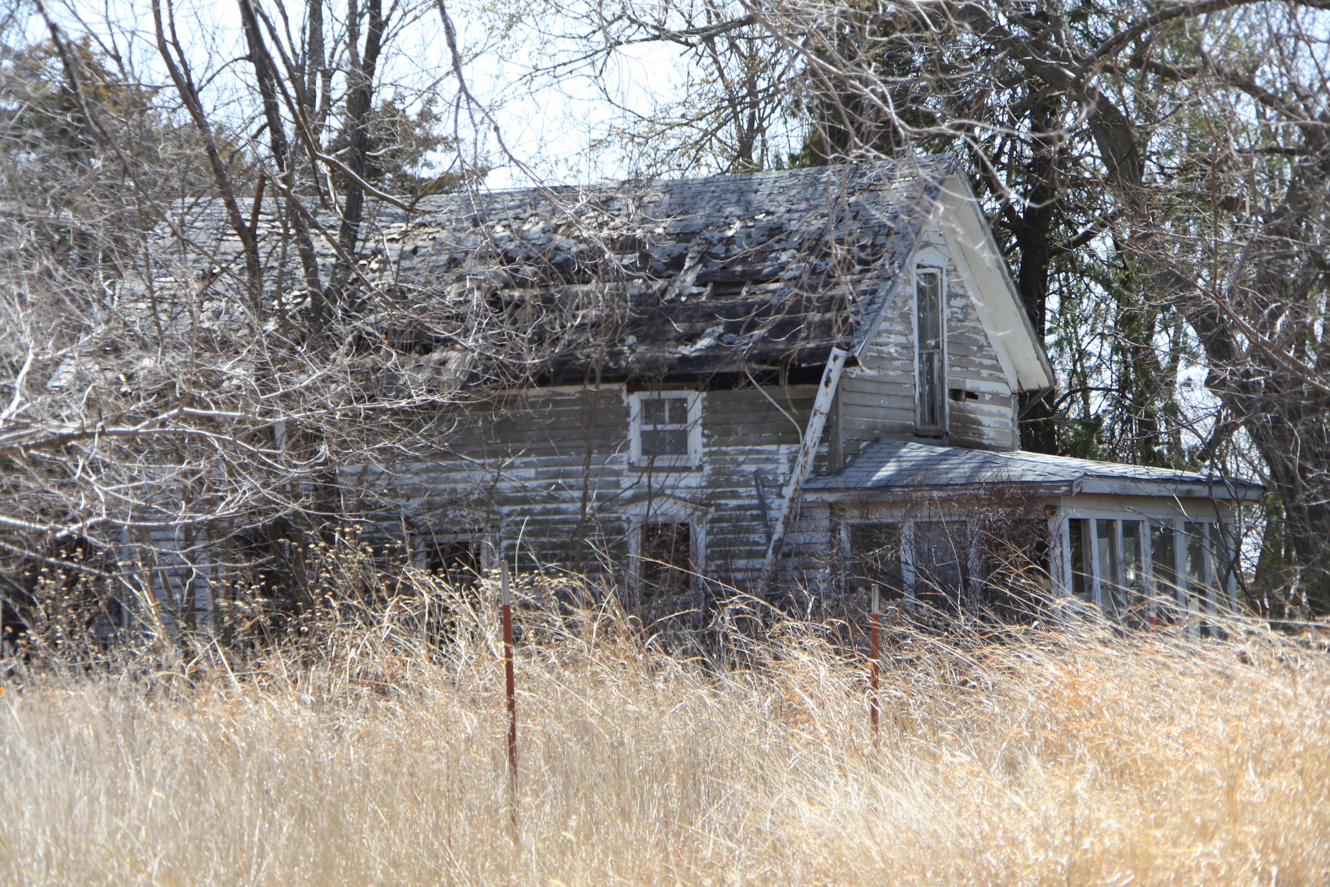
Old Farmhouse
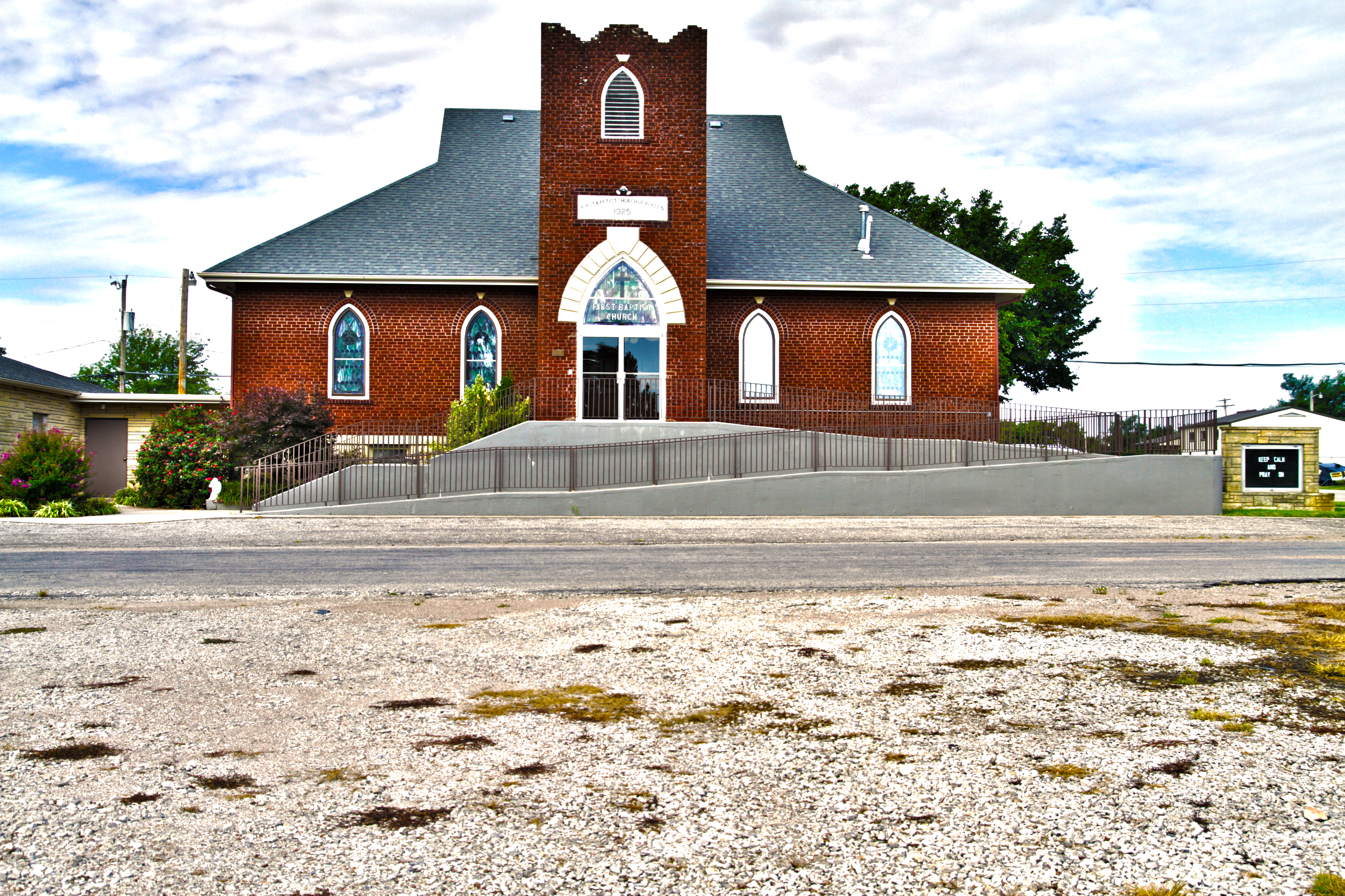
FBC Burden HDR

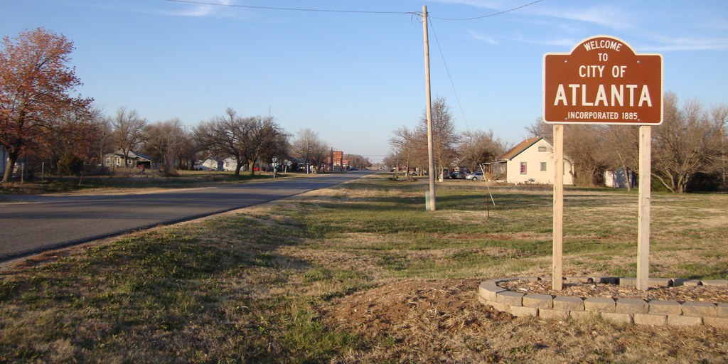
Welcome to City of Atlanta Sign (Atlanta, Kansas)

Grain Elevator (Atlanta, Kansas)
Atlanta, Kansas City Hall

Post Office 67008 (Atlanta, Kansas)
Atlanta, Kansas

Floral, KS Church

Floral, KS Church

Struggling for Freedom

Hangin' by a Thread
first 014
first 019
first 020

Empty House
first 056
Topographic Map of Silver Creek, KS, USA
Find elevation by address:

Places in Silver Creek, KS, USA:
Places near Silver Creek, KS, USA:
Burden
N Main St, Burden, KS, USA
Sheridan
11171 211 Rd
Cedar St, Cambridge, KS, USA
Cambridge
th Rd, Burden, KS, USA
Log Cabin
Salem
Tisdale
US-, Winfield, KS, USA
Main St, Winfield, KS, USA
275th Road
Windsor
Cowley County
Central Ave, Dexter, KS, USA
Dexter
th Rd, Cambridge, KS, USA
Dexter
Harvey
Recent Searches:
- Elevation of 2800, Morehead Road, Withrow Downs, Charlotte, Mecklenburg County, North Carolina, 28262, USA
- Elevation of Yangbi Yi Autonomous County, Yunnan, China
- Elevation of Pingpo, Yangbi Yi Autonomous County, Yunnan, China
- Elevation of Mount Malong, Pingpo, Yangbi Yi Autonomous County, Yunnan, China
- Elevation map of Yongping County, Yunnan, China
- Elevation of North 8th Street, Palatka, Putnam County, Florida, 32177, USA
- Elevation of 107, Big Apple Road, East Palatka, Putnam County, Florida, 32131, USA
- Elevation of Jiezi, Chongzhou City, Sichuan, China
- Elevation of Chongzhou City, Sichuan, China
- Elevation of Huaiyuan, Chongzhou City, Sichuan, China
- Elevation of Qingxia, Chengdu, Sichuan, China
- Elevation of Corso Fratelli Cairoli, 35, Macerata MC, Italy
- Elevation of Tallevast Rd, Sarasota, FL, USA
- Elevation of 4th St E, Sonoma, CA, USA
- Elevation of Black Hollow Rd, Pennsdale, PA, USA
- Elevation of Oakland Ave, Williamsport, PA, USA
- Elevation of Pedrógão Grande, Portugal
- Elevation of Klee Dr, Martinsburg, WV, USA
- Elevation of Via Roma, Pieranica CR, Italy
- Elevation of Tavkvetili Mountain, Georgia