Elevation of Burden, KS, USA
Location: United States > Kansas > Cowley County > Silver Creek >
Longitude: -96.754197
Latitude: 37.3128024
Elevation: 421m / 1381feet
Barometric Pressure: 96KPa
Elevation Map:
Satellite Map:
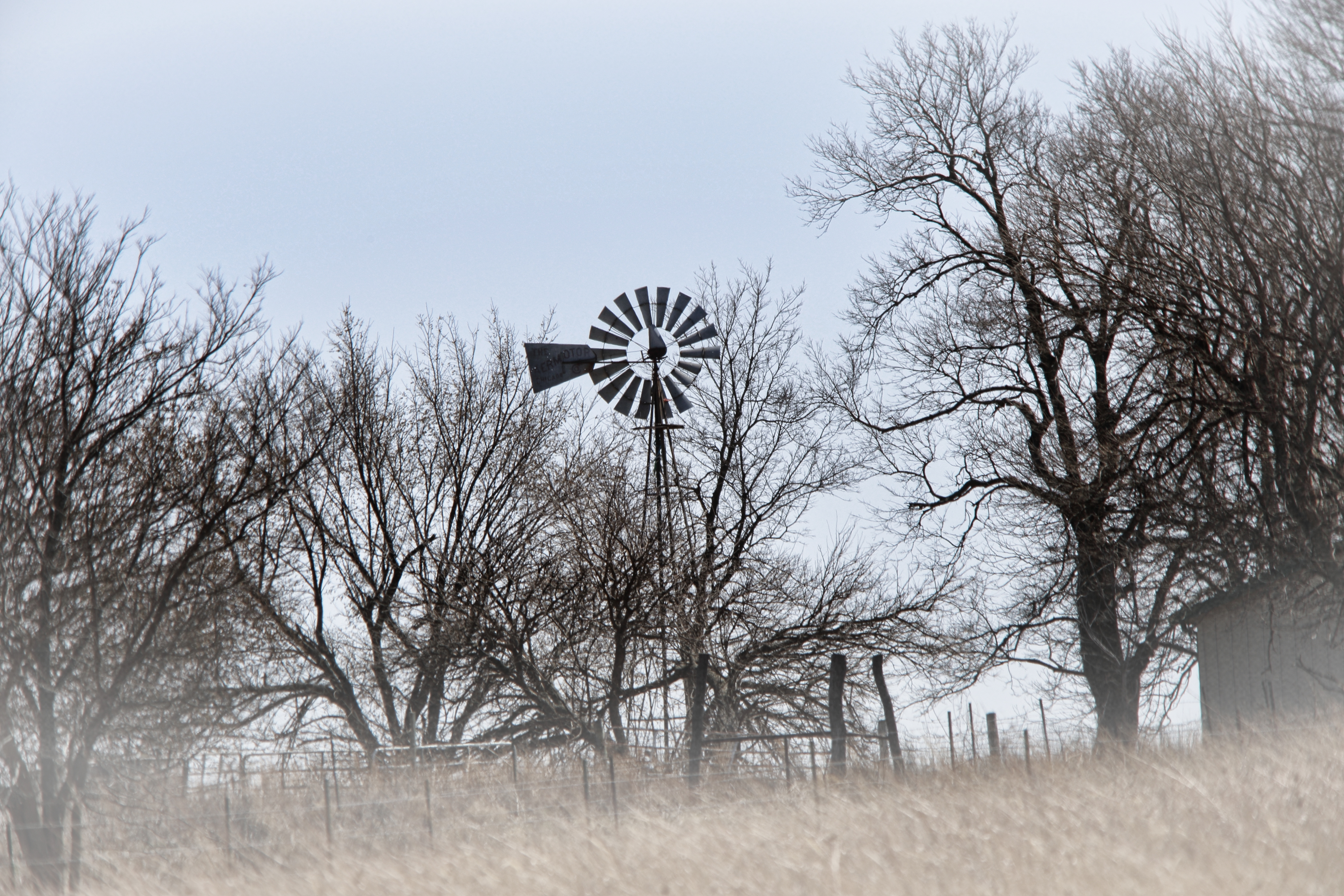
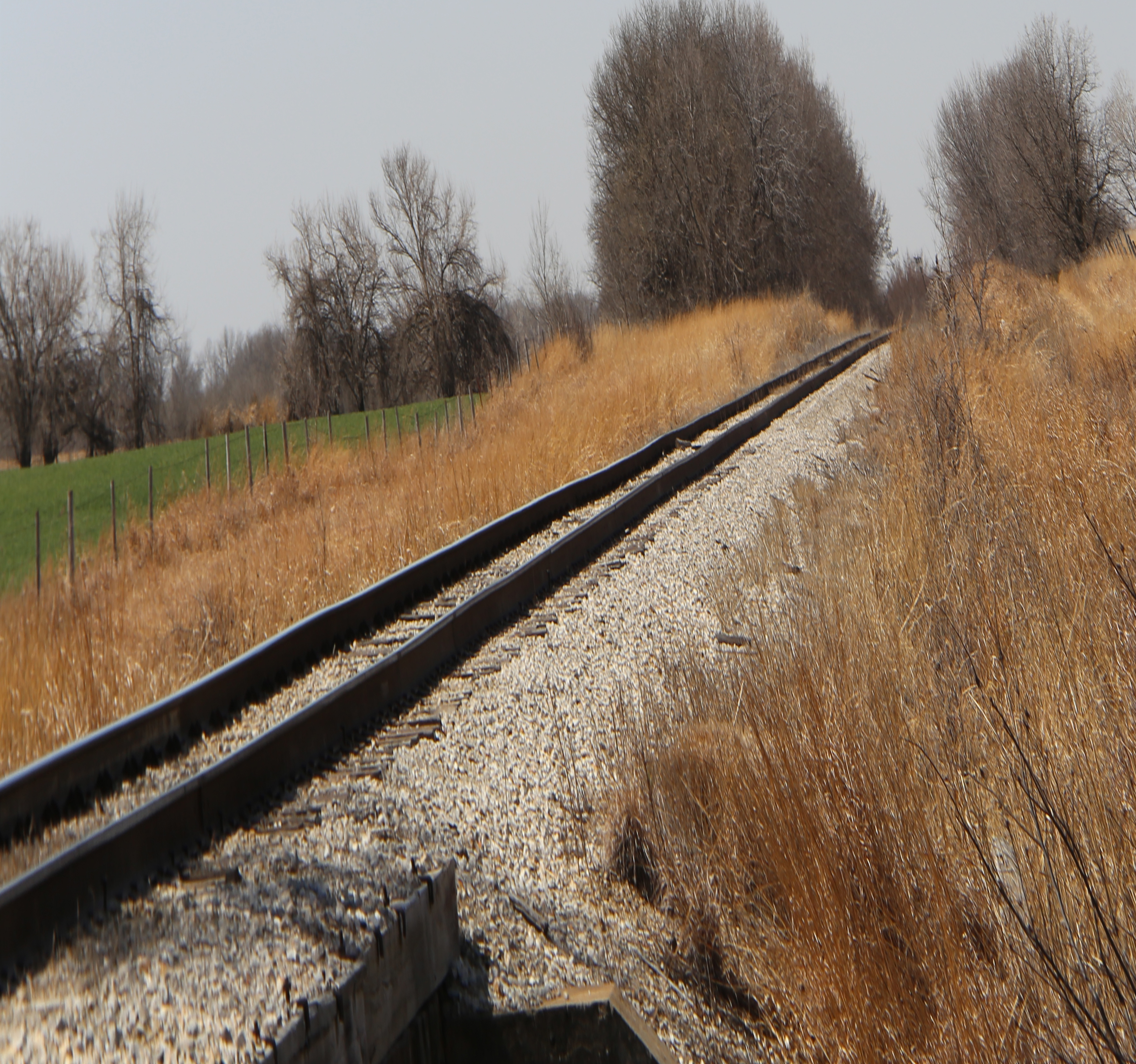
Related Photos:
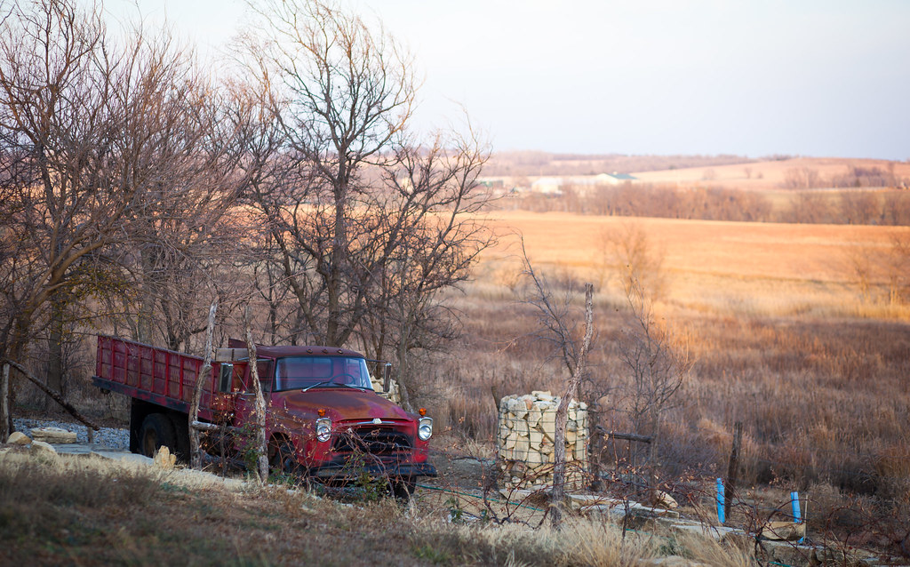
A View from Bluestem BB
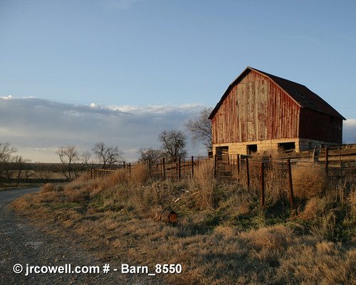
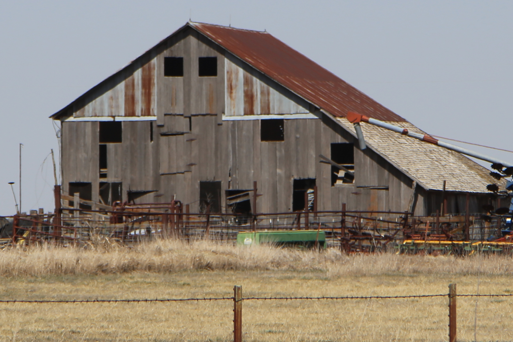
Barn in Cowley County, Kansas
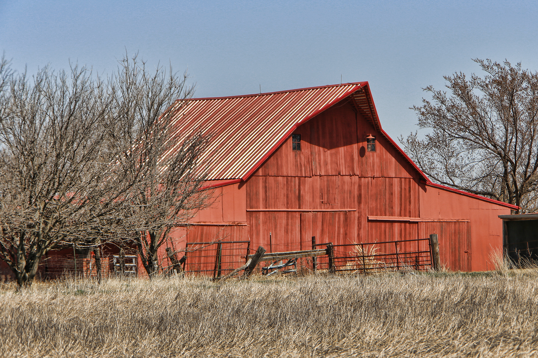
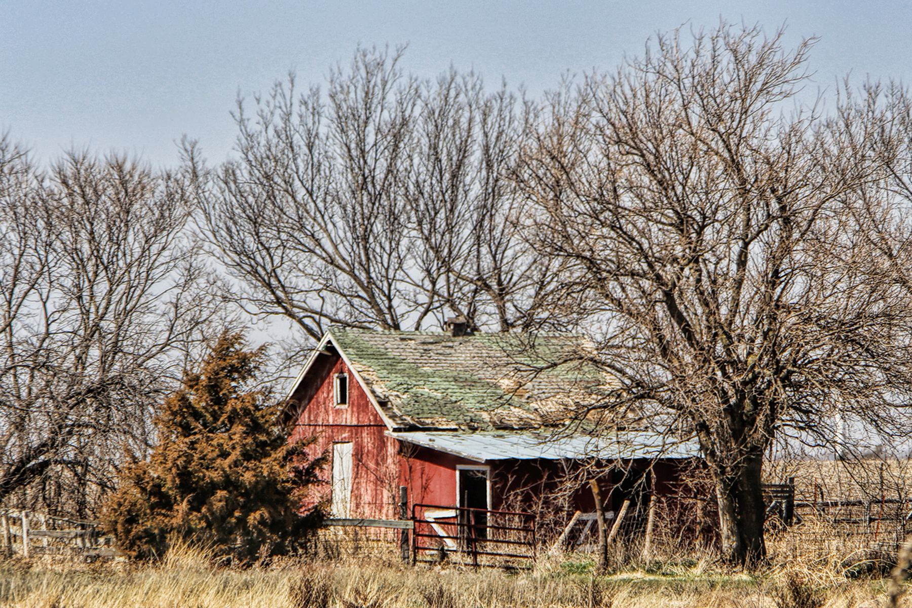
Red Barn
Fromm Bridge
Fox Bridge - collapsed in October 2016 by a flood

Jon and Amanda Lloyd
first 014
first 019
first 020
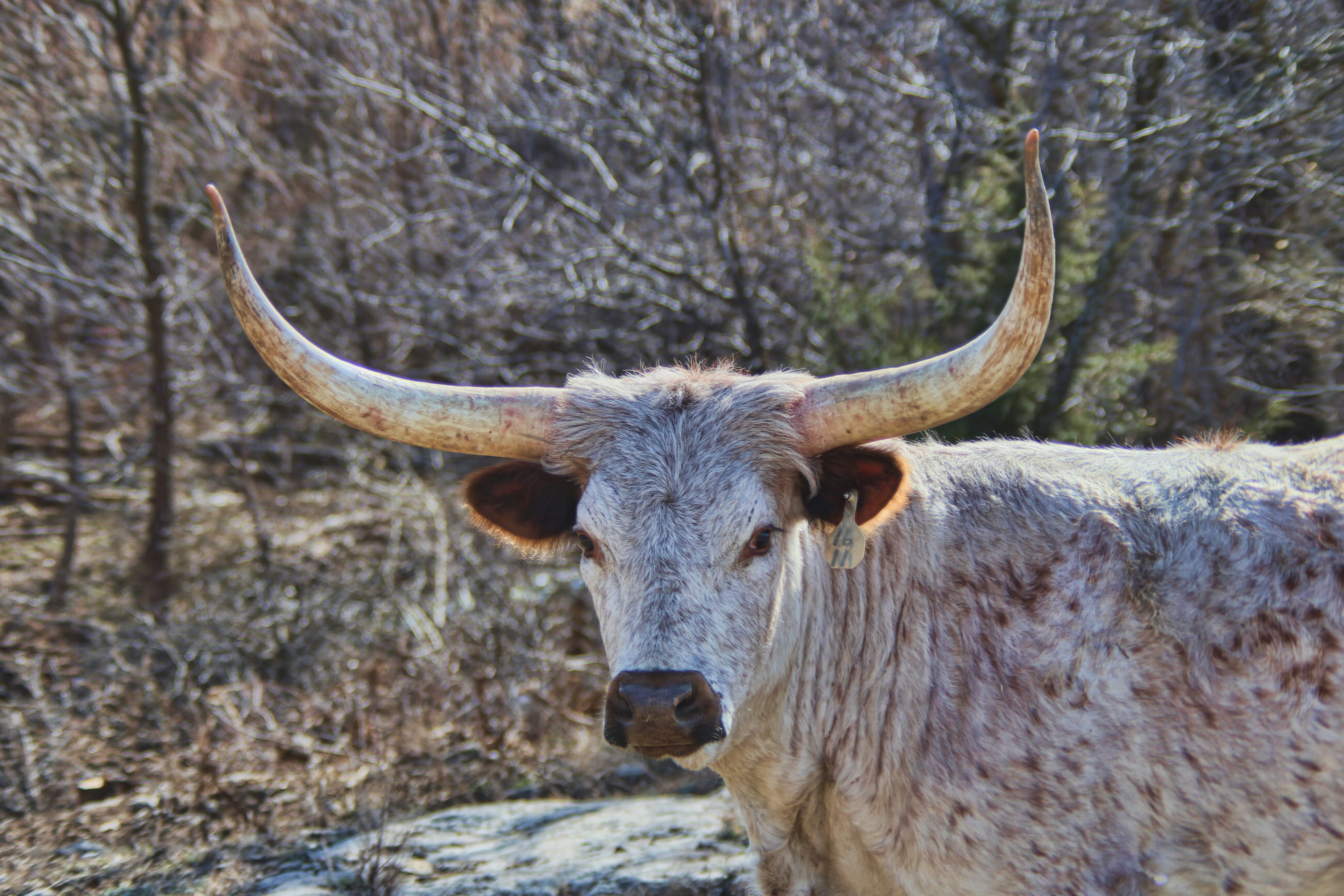
Bull in the woods

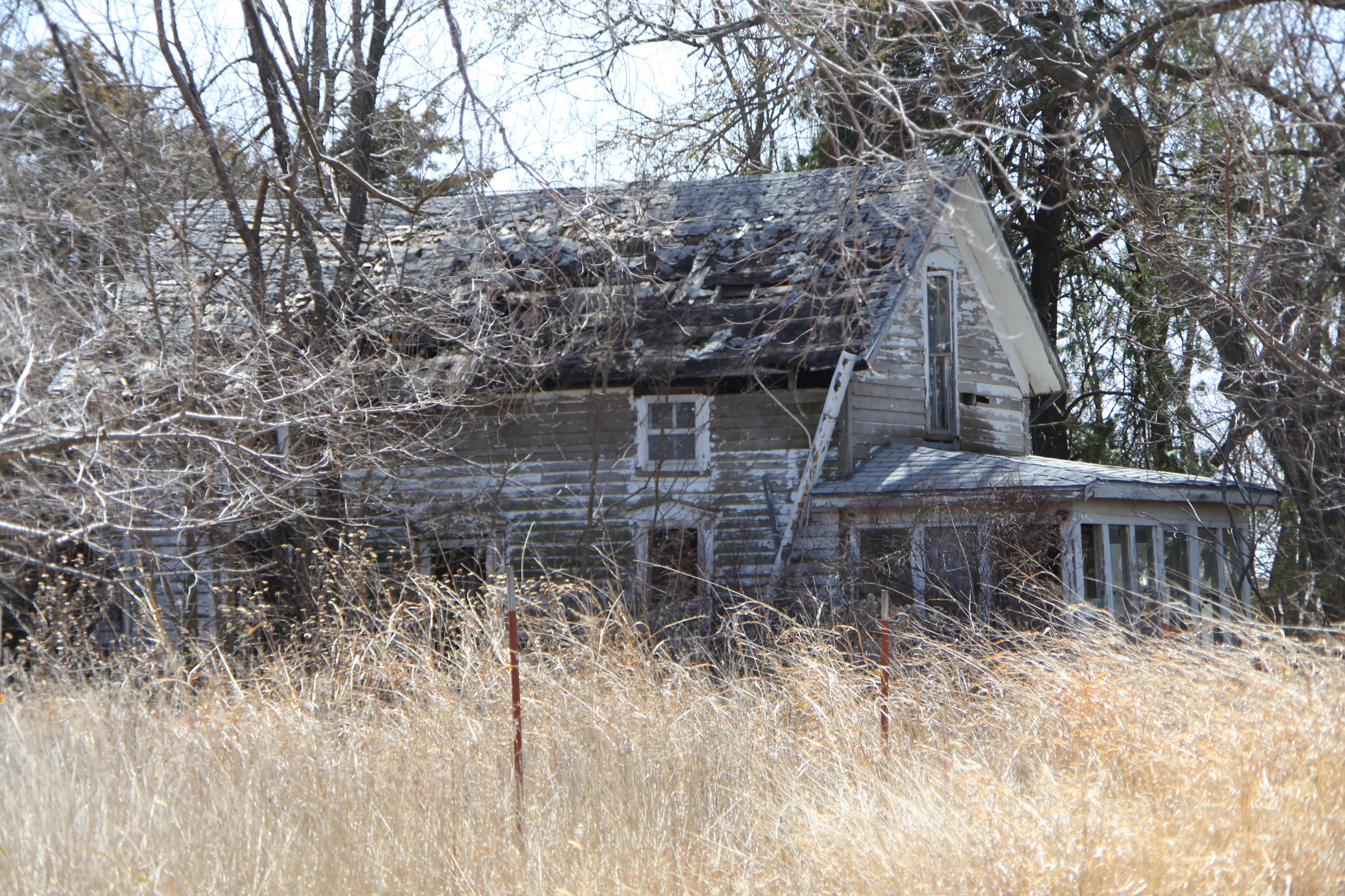
Old Farmhouse

Empty House
first 056
first 049
first 013

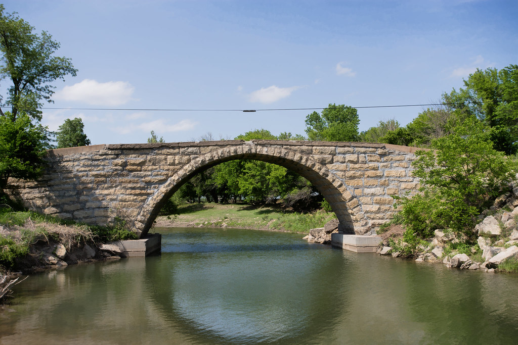
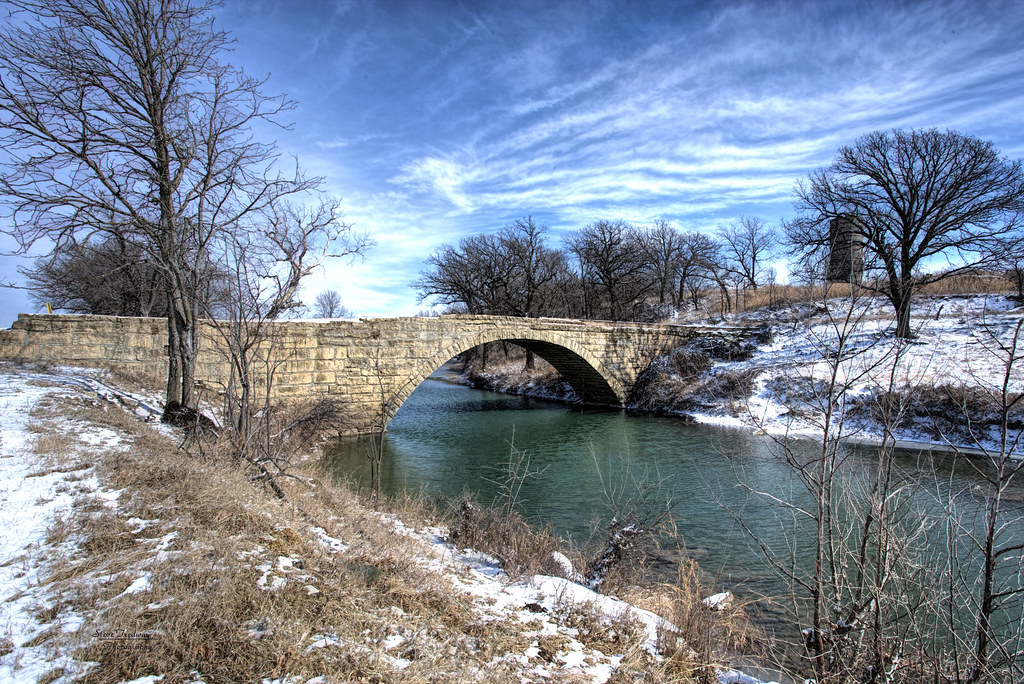
Silver Creek Stone Arch Bridge
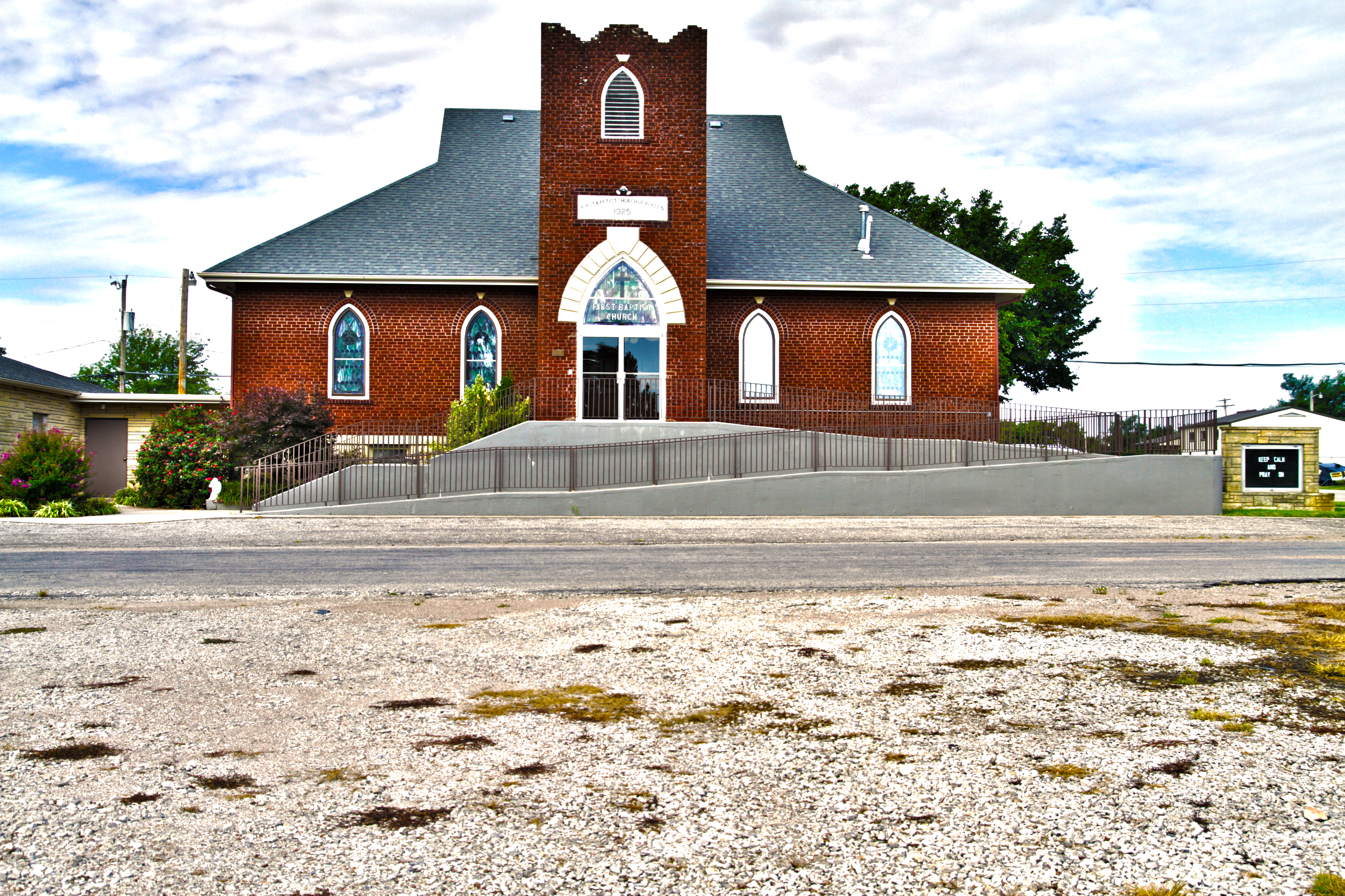
FBC Burden HDR
44823226-574F-4F49-9777-0EEBAEEF0DCD.JPG

FCB5B11D-BC8B-4B67-BD1A-5E9EE3496655.JPG

D3EDB390-FA42-40B0-A2DC-C8B6D8E19EFF.JPG

B7C65517-3C8D-4015-9E6D-57C81F36158C.JPG

9FE883B8-98B6-49BE-8756-0719F572A8DB.JPG
Topographic Map of Burden, KS, USA
Find elevation by address:

Places in Burden, KS, USA:
Places near Burden, KS, USA:
N Main St, Burden, KS, USA
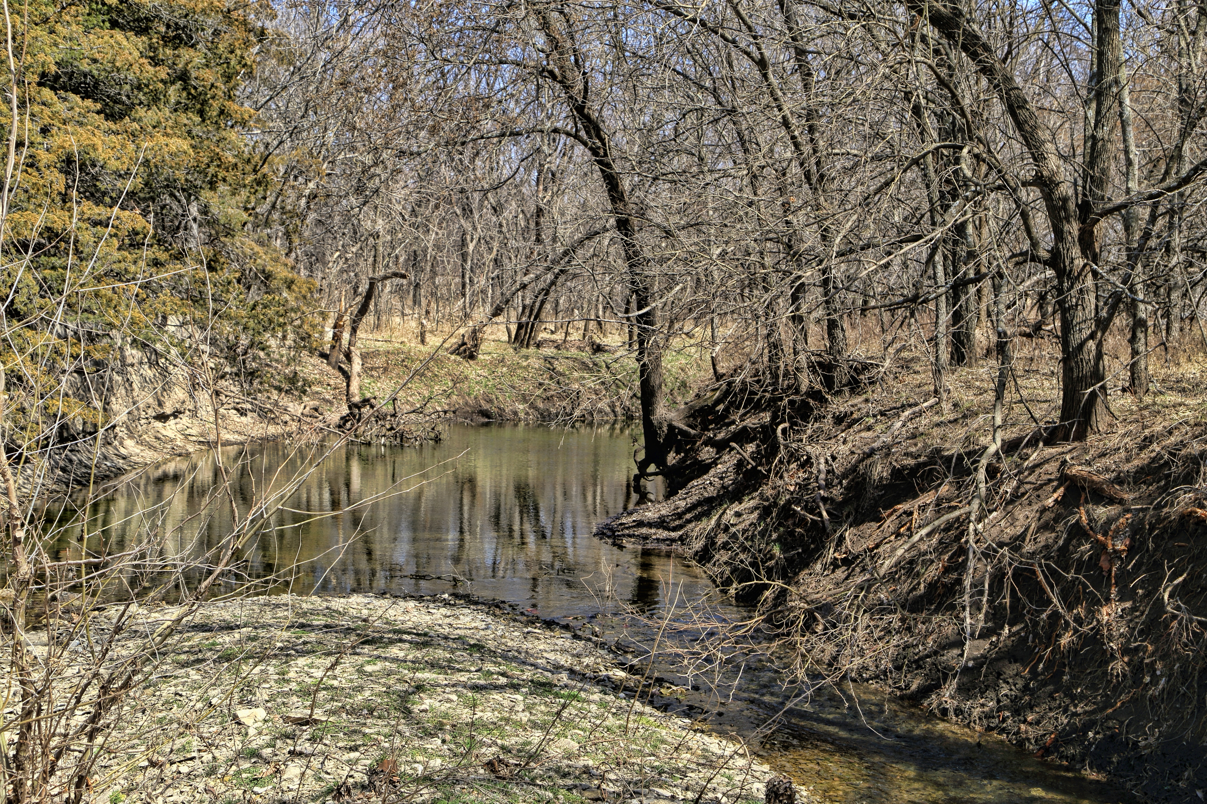
Silver Creek
Sheridan
11171 211 Rd
th Rd, Burden, KS, USA
Cedar St, Cambridge, KS, USA
Cambridge
Log Cabin
US-, Winfield, KS, USA
Tisdale
275th Road
Windsor
Salem
Central Ave, Dexter, KS, USA
Main St, Winfield, KS, USA
Dexter
Dexter
Cowley County
th Rd, Cambridge, KS, USA
Harvey
Recent Searches:
- Elevation of Corso Fratelli Cairoli, 35, Macerata MC, Italy
- Elevation of Tallevast Rd, Sarasota, FL, USA
- Elevation of 4th St E, Sonoma, CA, USA
- Elevation of Black Hollow Rd, Pennsdale, PA, USA
- Elevation of Oakland Ave, Williamsport, PA, USA
- Elevation of Pedrógão Grande, Portugal
- Elevation of Klee Dr, Martinsburg, WV, USA
- Elevation of Via Roma, Pieranica CR, Italy
- Elevation of Tavkvetili Mountain, Georgia
- Elevation of Hartfords Bluff Cir, Mt Pleasant, SC, USA