Elevation of Signal du Lauvitel, Valjouffrey, France
Location: France > Isere > Valjouffrey >
Longitude: 6.04251
Latitude: 44.93909
Elevation: 2847m / 9341feet
Barometric Pressure: 71KPa
Elevation Map:
Satellite Map:
Related Photos:
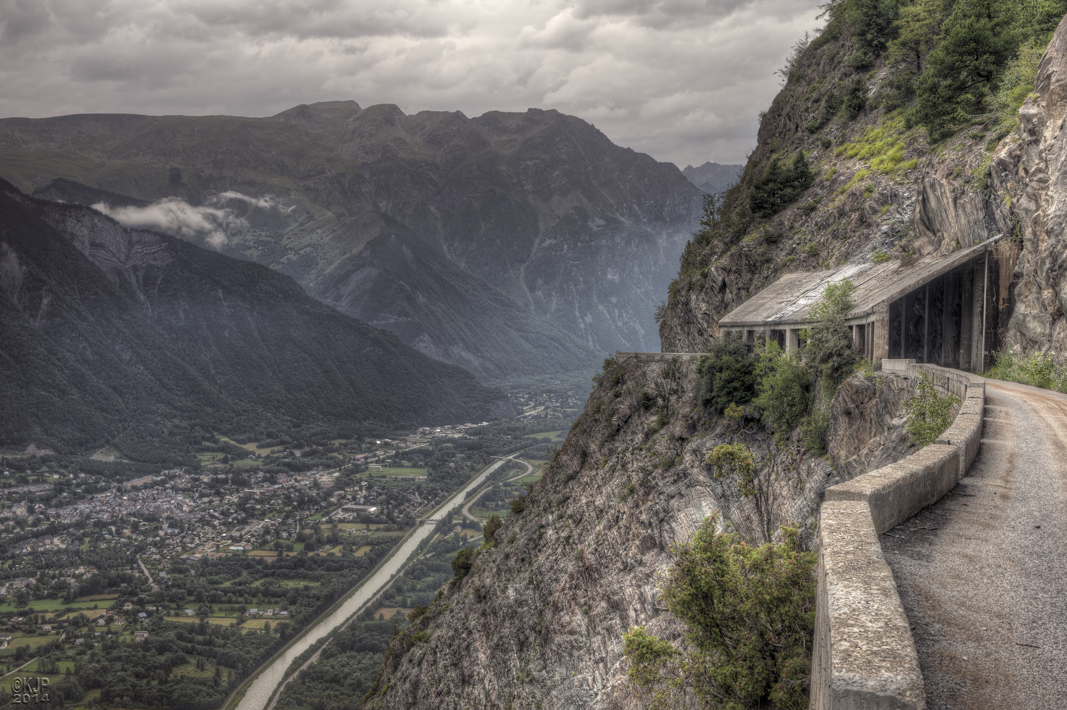
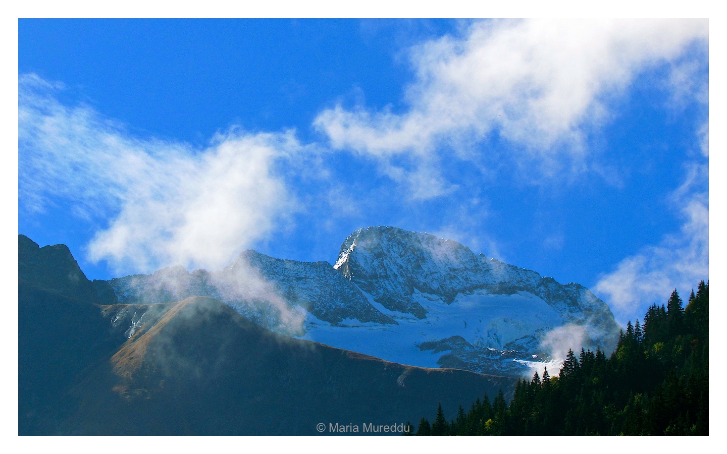
Road to Nowhere #Explore
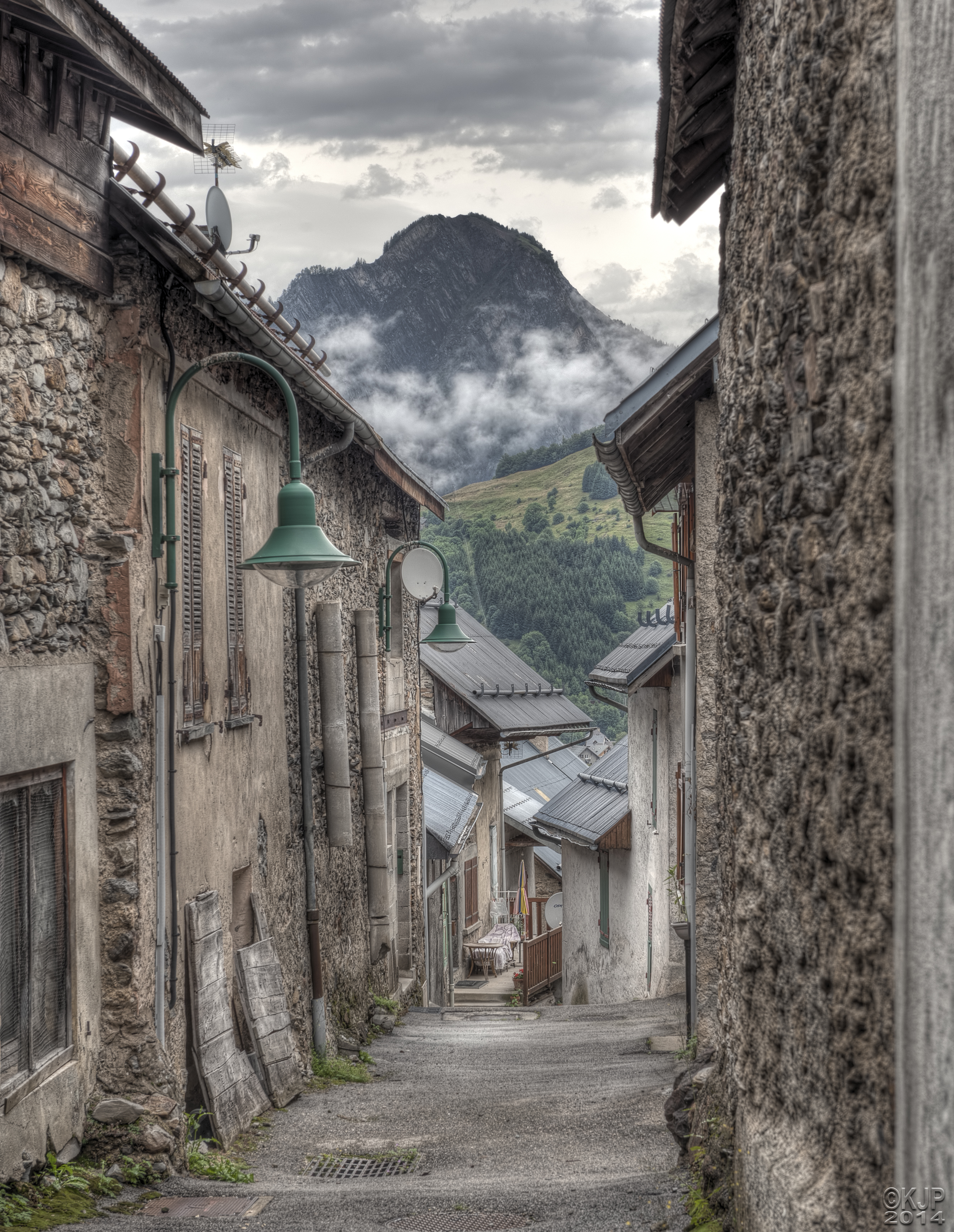
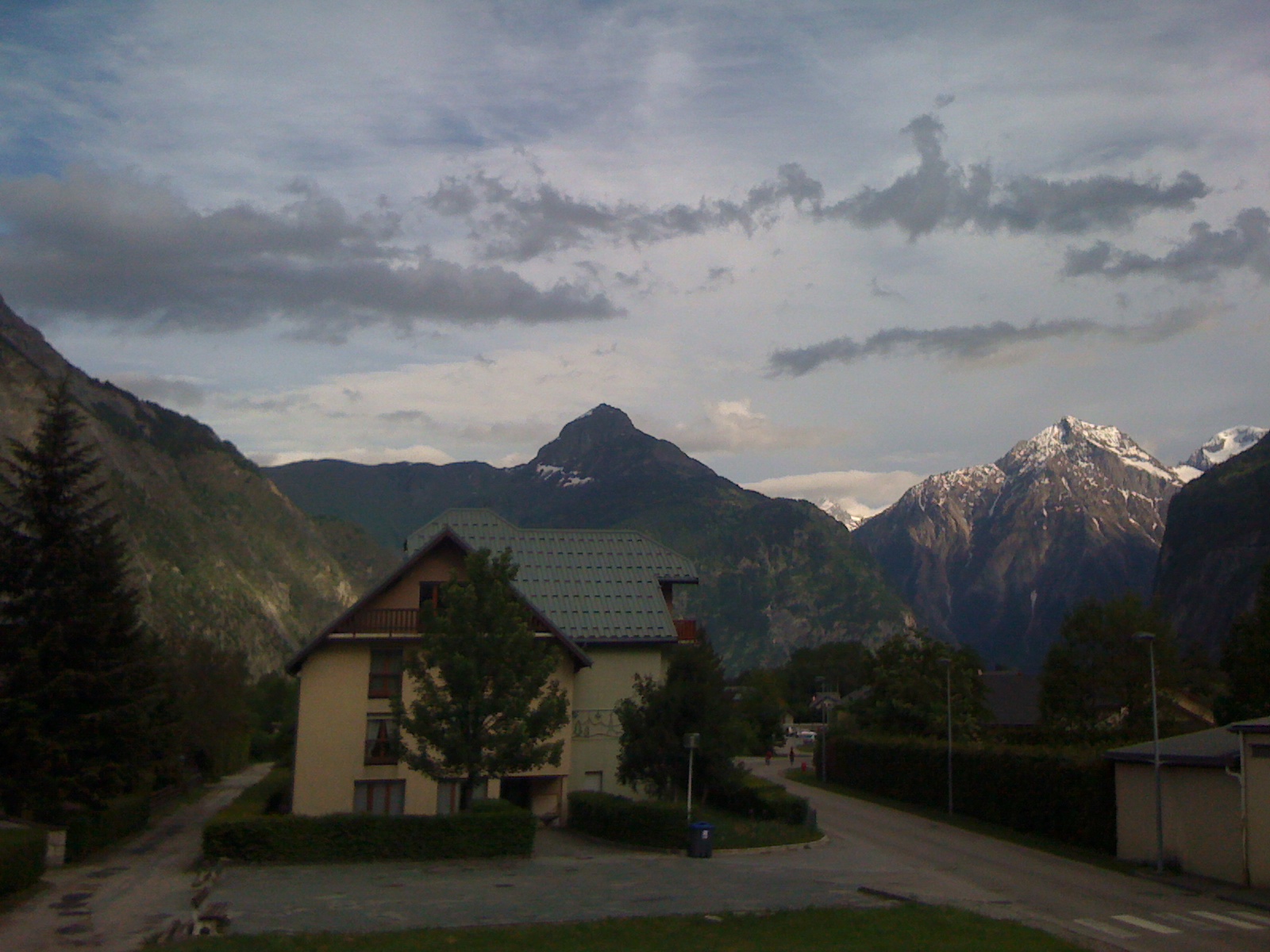
Mountain Village #Explore
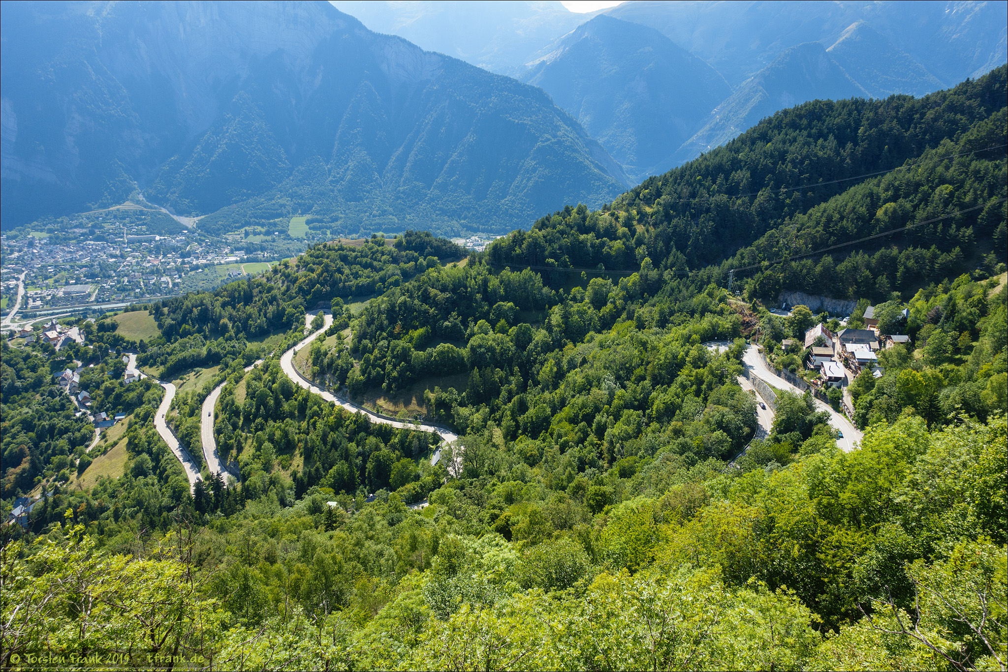
Route Napoléon [N85] - Corps (France)

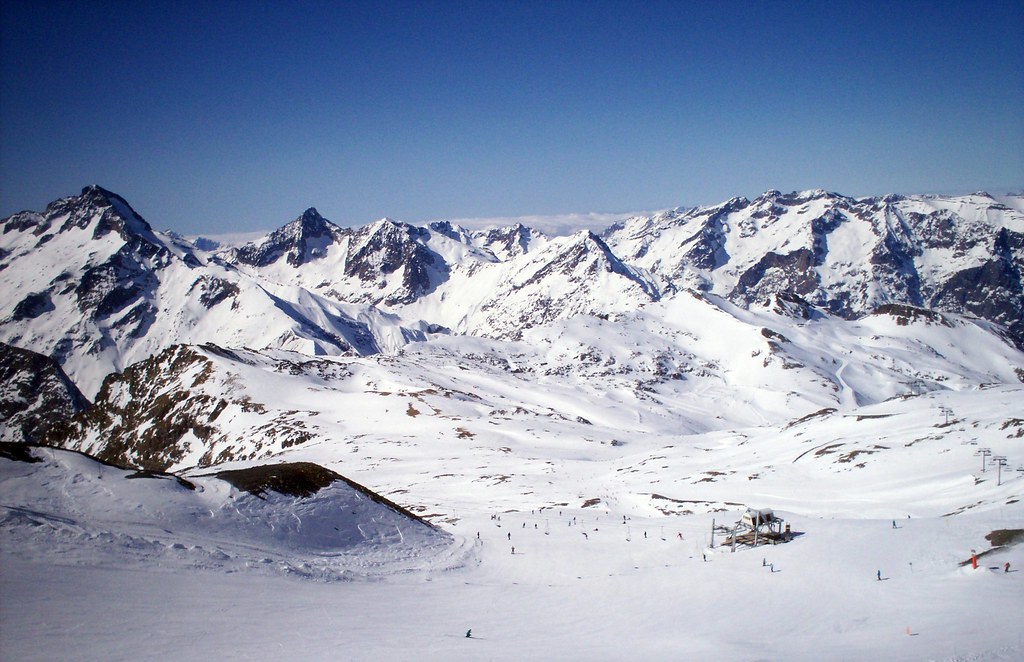
Les Deux Alpes, ski resort in France
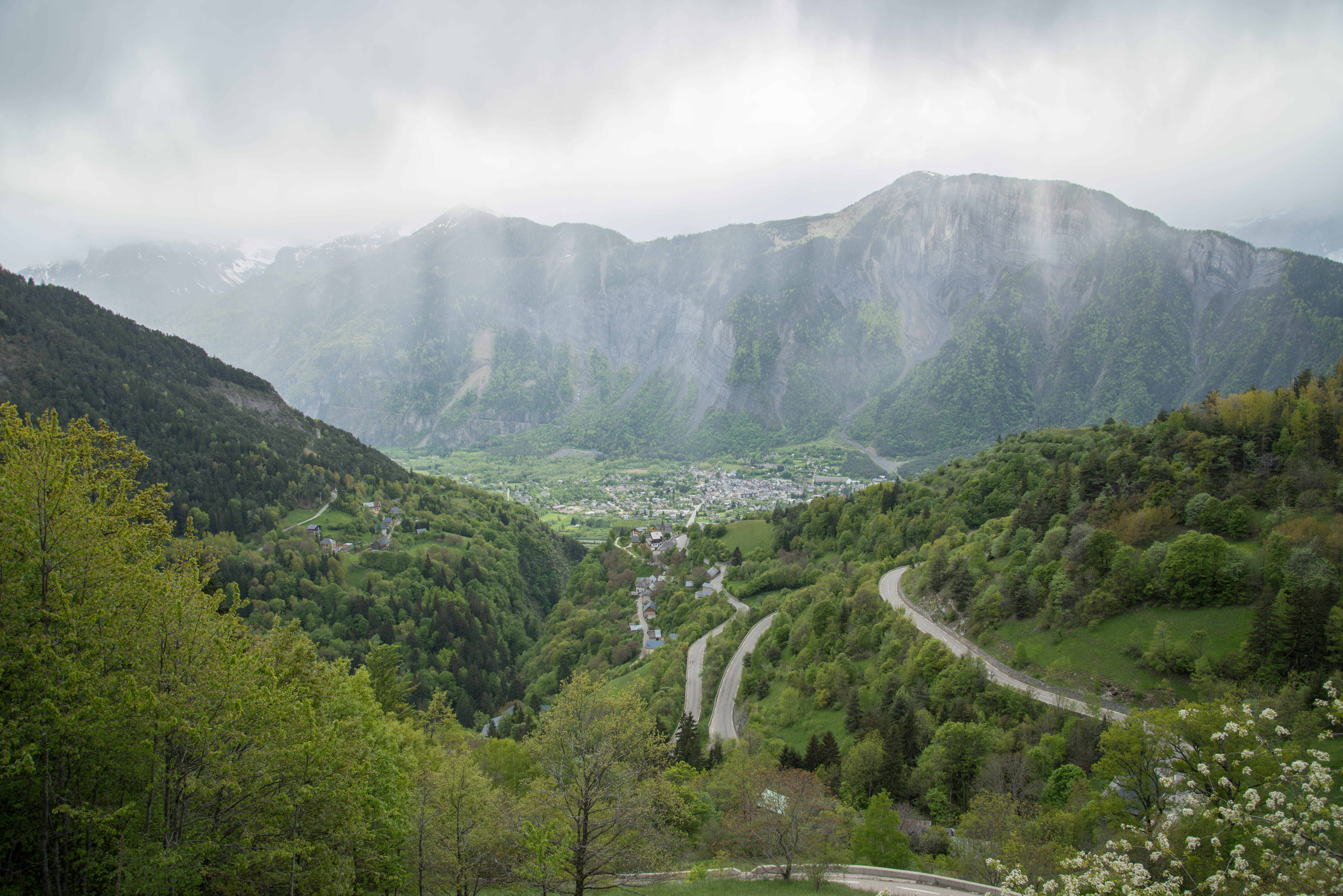
Route Napoléon [N85] - Les Côtes-des-Corps (France)
IMG_3306 (1)

Le Bourg d'Aroud, Venosc, French Alps. View from Les Deux Alpes - http://bit.ly/16FR88l

Day 4 (f): Refuge de la Muzelle

View on the Taillefer

Panoramic view in the Alps

Bench with a view
Die Kehren von Alpe d'Huez
Glacier Cafe @ 3200m

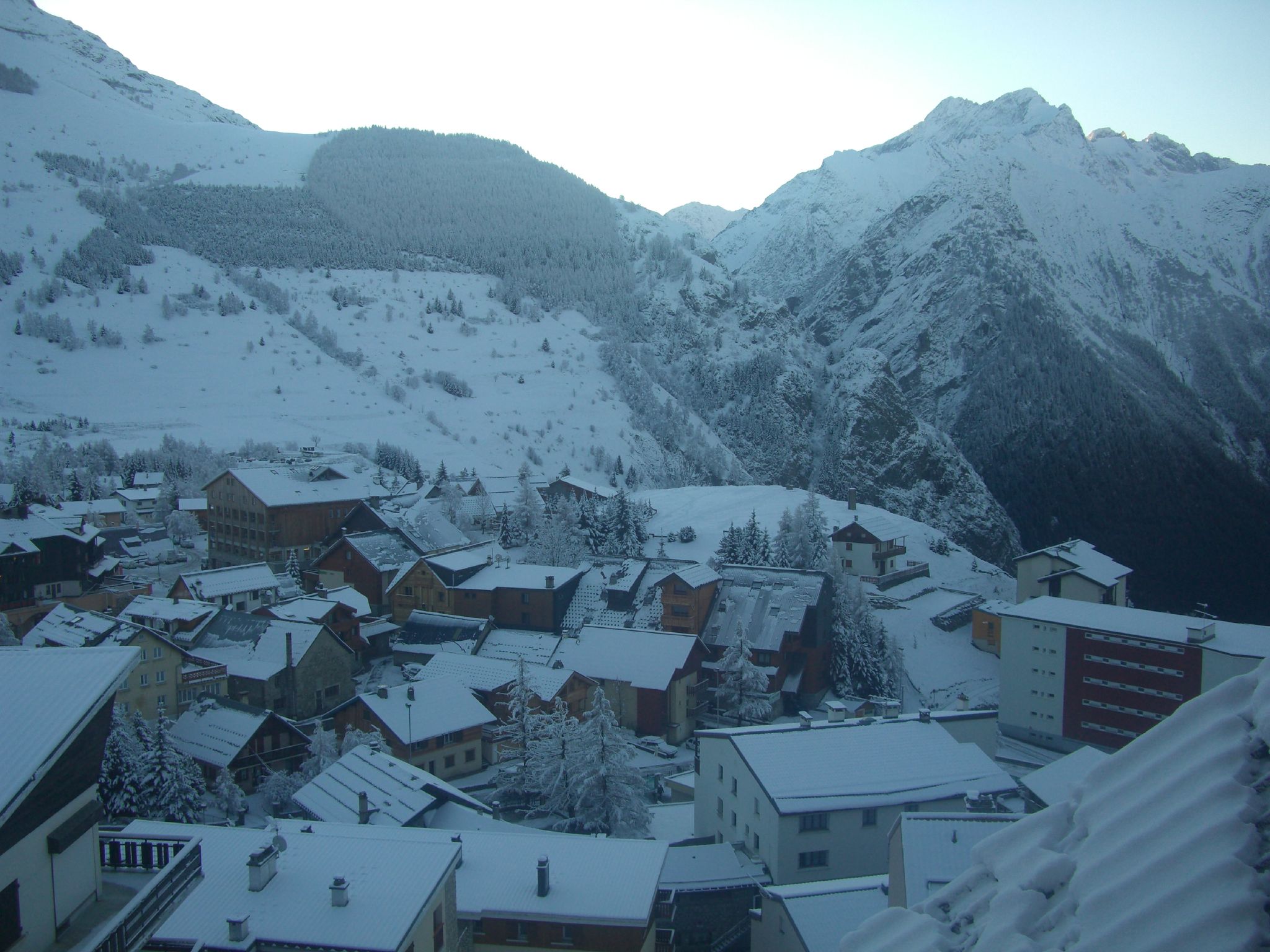
...Les Deux Alpes... !!

Blue piste at L2A
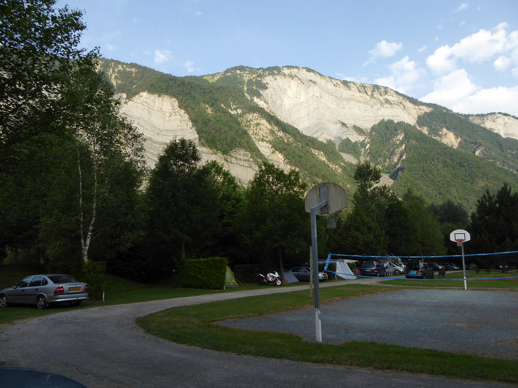
View from our pitch
View from our terrace
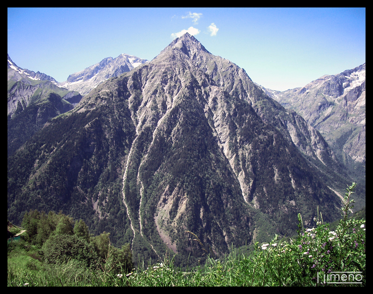
Aiguille de Venosc - Francia
View from the apartment
Alpe d'Huez - view to Le Bourg-d'Oisans from halfway up Alpe d'Huez

Landscape 281 #365 ... walking #home... I missed this view so much the last two years... #les2alpes
Topographic Map of Signal du Lauvitel, Valjouffrey, France
Find elevation by address:

Places near Signal du Lauvitel, Valjouffrey, France:
Pic Du Clapier Du Peyron
Pointe De Malhaubert
Valjouffrey
Aiguille De Venosc
Pic De Valsenestre
Roche De La Muzelle
Aiguille Des Marmes
Chantelouve
Pointe Swan
Vénosc
Sommet Des Rouchoux
Croix De Rougny
La Coche
Sanctuaire De La Salette
Sanctuaire De Notre-dame La Salette
Cime Du Montagnon
Tête De Lauranoure - Sommet Central
Tête Du Clotonnet
Pey De Saint Maurice
La Salette-fallavaux
Recent Searches:
- Elevation of Corso Fratelli Cairoli, 35, Macerata MC, Italy
- Elevation of Tallevast Rd, Sarasota, FL, USA
- Elevation of 4th St E, Sonoma, CA, USA
- Elevation of Black Hollow Rd, Pennsdale, PA, USA
- Elevation of Oakland Ave, Williamsport, PA, USA
- Elevation of Pedrógão Grande, Portugal
- Elevation of Klee Dr, Martinsburg, WV, USA
- Elevation of Via Roma, Pieranica CR, Italy
- Elevation of Tavkvetili Mountain, Georgia
- Elevation of Hartfords Bluff Cir, Mt Pleasant, SC, USA