Elevation of Siachen Glacier
Longitude: 77.0439012
Latitude: 35.4639008
Elevation: 4786m / 15702feet
Barometric Pressure: 56KPa
Elevation Map:
Satellite Map:
Related Photos:
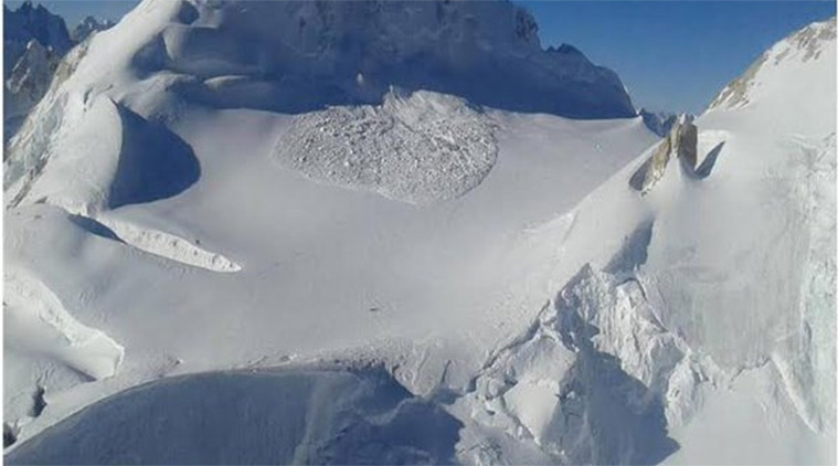
Day 255 Avalanche in India-Pakistan
Topographic Map of Siachen Glacier
Find elevation by address:

Places near Siachen Glacier:
Apsarasas Kangri
Teram Kangri Iii
Singhi Kangri
Saltoro Kangri
Ghent Kangri
Sherpi Kangri
Sia Kangri
Baltoro Kangri
Gasherbrum I
Gasherbrum Ii
Chogolisa
Gasherbrum Iii
Gasherbrum Iv
Broad Peak
Gondogoro La
K2 Glacier
Haldi
Skyang Kangri
K2
Masherbrum
Recent Searches:
- Elevation of Corso Fratelli Cairoli, 35, Macerata MC, Italy
- Elevation of Tallevast Rd, Sarasota, FL, USA
- Elevation of 4th St E, Sonoma, CA, USA
- Elevation of Black Hollow Rd, Pennsdale, PA, USA
- Elevation of Oakland Ave, Williamsport, PA, USA
- Elevation of Pedrógão Grande, Portugal
- Elevation of Klee Dr, Martinsburg, WV, USA
- Elevation of Via Roma, Pieranica CR, Italy
- Elevation of Tavkvetili Mountain, Georgia
- Elevation of Hartfords Bluff Cir, Mt Pleasant, SC, USA