Elevation of Gasherbrum I
Longitude: 76.7105636
Latitude: 35.7192731
Elevation: 7632m / 25039feet
Barometric Pressure: 38KPa
Elevation Map:
Satellite Map:
Related Photos:
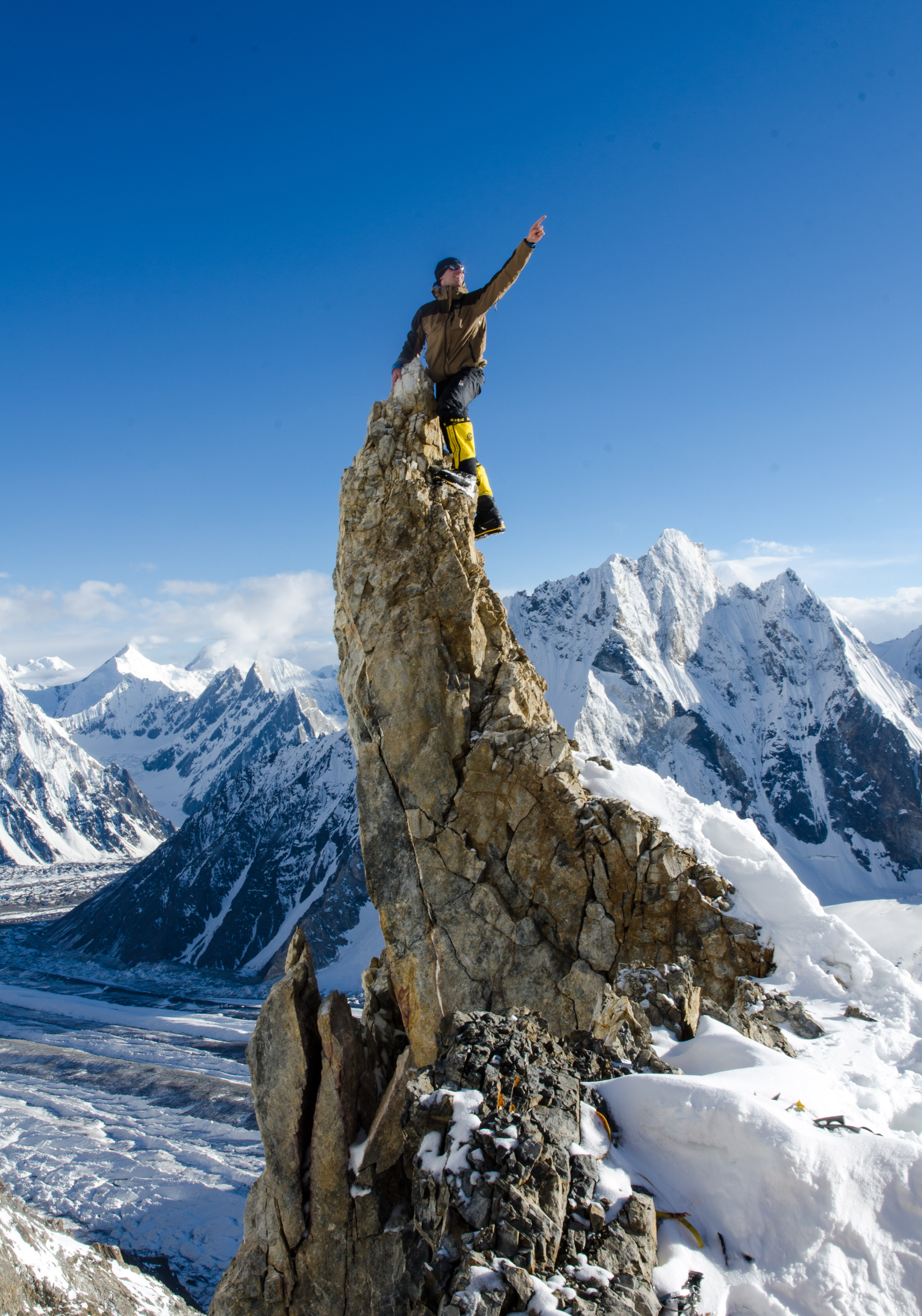
Swedish Camp 1 antics
Topographic Map of Gasherbrum I
Find elevation by address:

Places near Gasherbrum I:
Gasherbrum Ii
Sia Kangri
Gasherbrum Iii
Baltoro Kangri
Gasherbrum Iv
Broad Peak
Chogolisa
K2 Glacier
Ghent Kangri
Gondogoro La
Skyang Kangri
K2
Sherpi Kangri
Singhi Kangri
Chongtar Kangri I
Saltoro Kangri
Teram Kangri Iii
Muztagh Tower
Masherbrum
Siachen Glacier
Recent Searches:
- Elevation of Corso Fratelli Cairoli, 35, Macerata MC, Italy
- Elevation of Tallevast Rd, Sarasota, FL, USA
- Elevation of 4th St E, Sonoma, CA, USA
- Elevation of Black Hollow Rd, Pennsdale, PA, USA
- Elevation of Oakland Ave, Williamsport, PA, USA
- Elevation of Pedrógão Grande, Portugal
- Elevation of Klee Dr, Martinsburg, WV, USA
- Elevation of Via Roma, Pieranica CR, Italy
- Elevation of Tavkvetili Mountain, Georgia
- Elevation of Hartfords Bluff Cir, Mt Pleasant, SC, USA