Elevation of Shulaps Peak, Squamish-Lillooet A, BC V0K, Canada
Location: Canada > British Columbia > Squamish-lillooet > Squamish-lillooet A >
Longitude: -122.51722
Latitude: 50.9488888
Elevation: 2754m / 9035feet
Barometric Pressure: 72KPa
Elevation Map:
Satellite Map:
Related Photos:

Highway 40
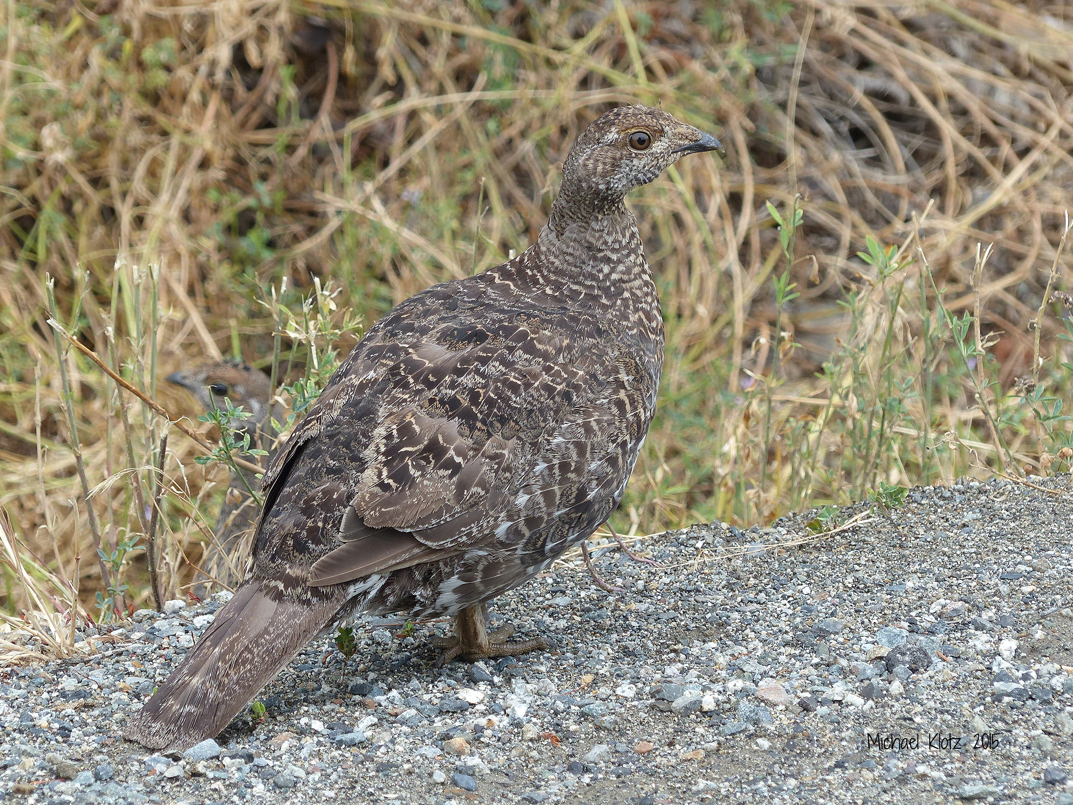
Dusky Grouse - Carpenter Lake, BC
Topographic Map of Shulaps Peak, Squamish-Lillooet A, BC V0K, Canada
Find elevation by address:

Places near Shulaps Peak, Squamish-Lillooet A, BC V0K, Canada:
Whitecap Mountain
Tyaughton Lake
3300 Gun Creek Rd
Bralorne
Gold Bridge
Hurley Road
Squamish-lillooet A
Mount Vayu
Cariboo K
Mount Ethelweard
Mount Vic
Taseko Mountain
Plinth Peak
Recent Searches:
- Elevation of Corso Fratelli Cairoli, 35, Macerata MC, Italy
- Elevation of Tallevast Rd, Sarasota, FL, USA
- Elevation of 4th St E, Sonoma, CA, USA
- Elevation of Black Hollow Rd, Pennsdale, PA, USA
- Elevation of Oakland Ave, Williamsport, PA, USA
- Elevation of Pedrógão Grande, Portugal
- Elevation of Klee Dr, Martinsburg, WV, USA
- Elevation of Via Roma, Pieranica CR, Italy
- Elevation of Tavkvetili Mountain, Georgia
- Elevation of Hartfords Bluff Cir, Mt Pleasant, SC, USA