Elevation of Shorter, AL, USA
Location: United States > Alabama > Macon County >
Longitude: -85.918354
Latitude: 32.3951313
Elevation: 112m / 367feet
Barometric Pressure: 100KPa
Elevation Map:
Satellite Map:
Related Photos:
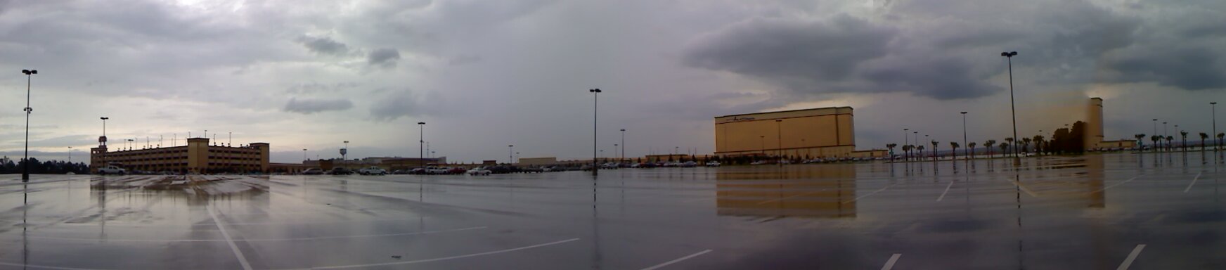
Victoryland Pano-View
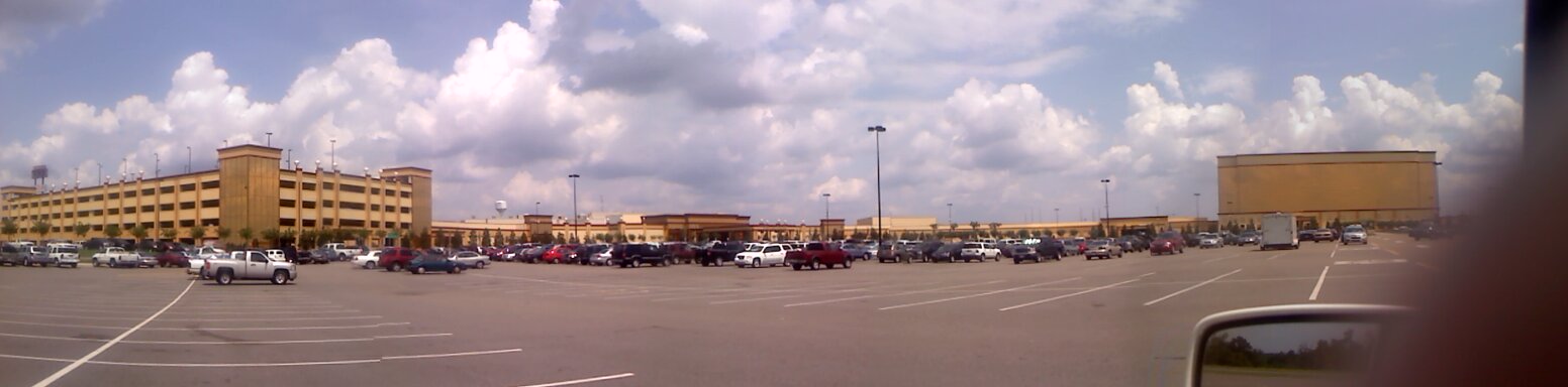
Panoramic View
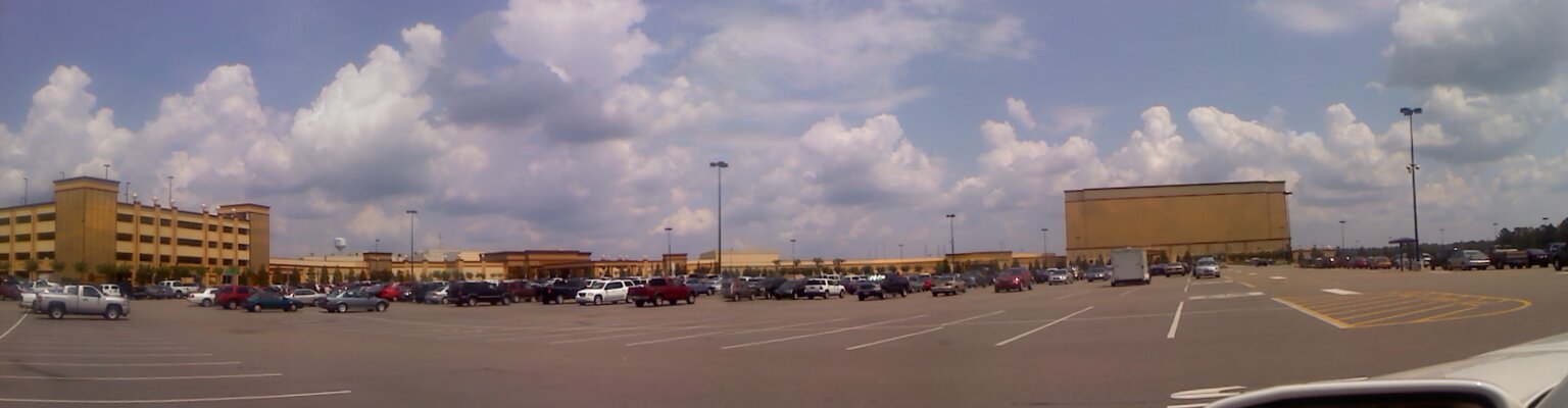
Panoramic View
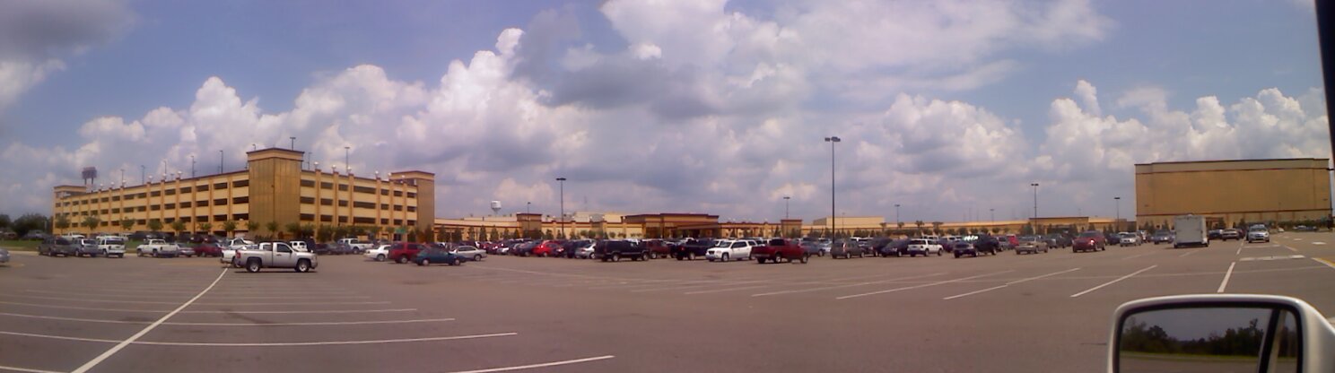
Panoramic View
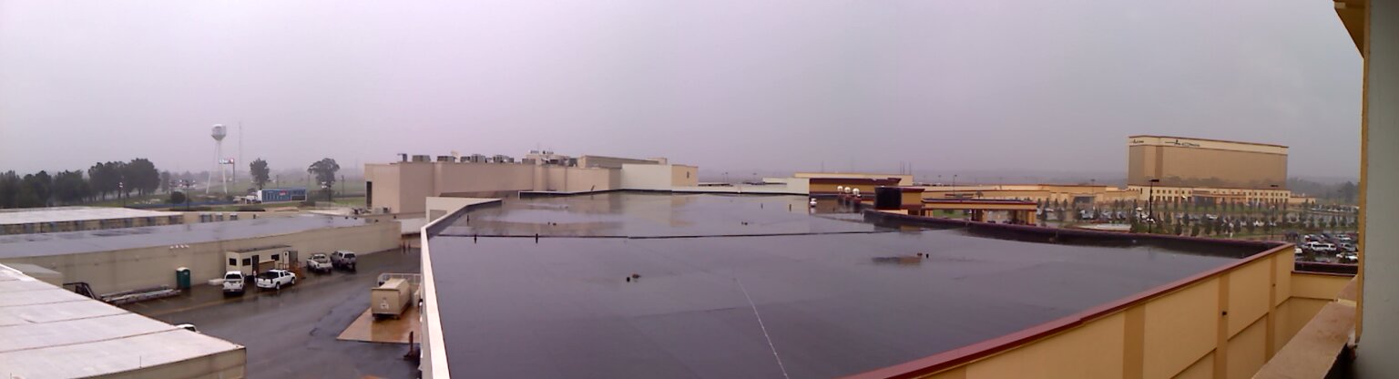
Victoryland Pano-View
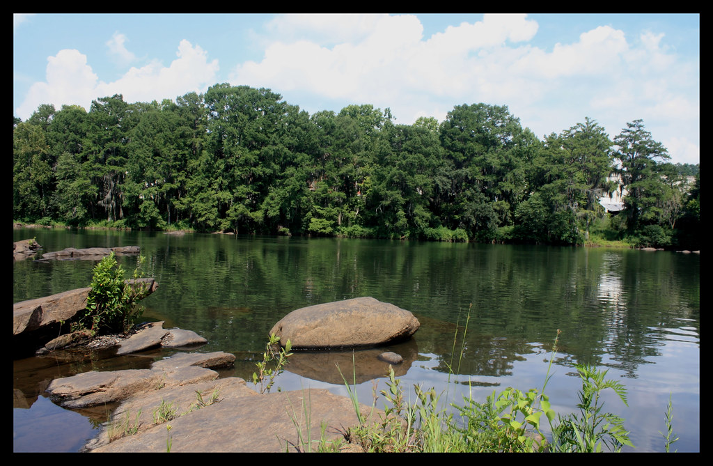
Tallapoosa River
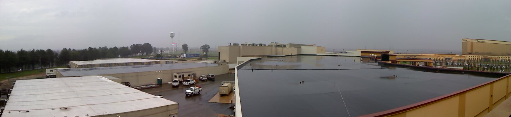
Victoryland Pano-View
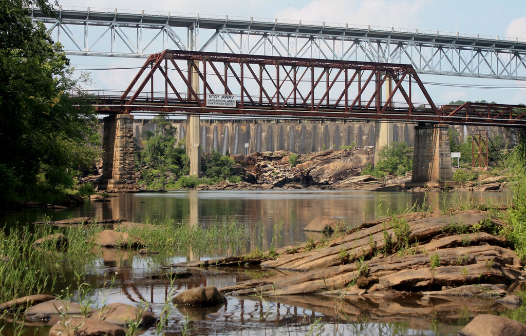
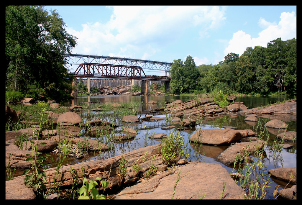
The Fitzpatrick Bridge And Abandoned Bridge
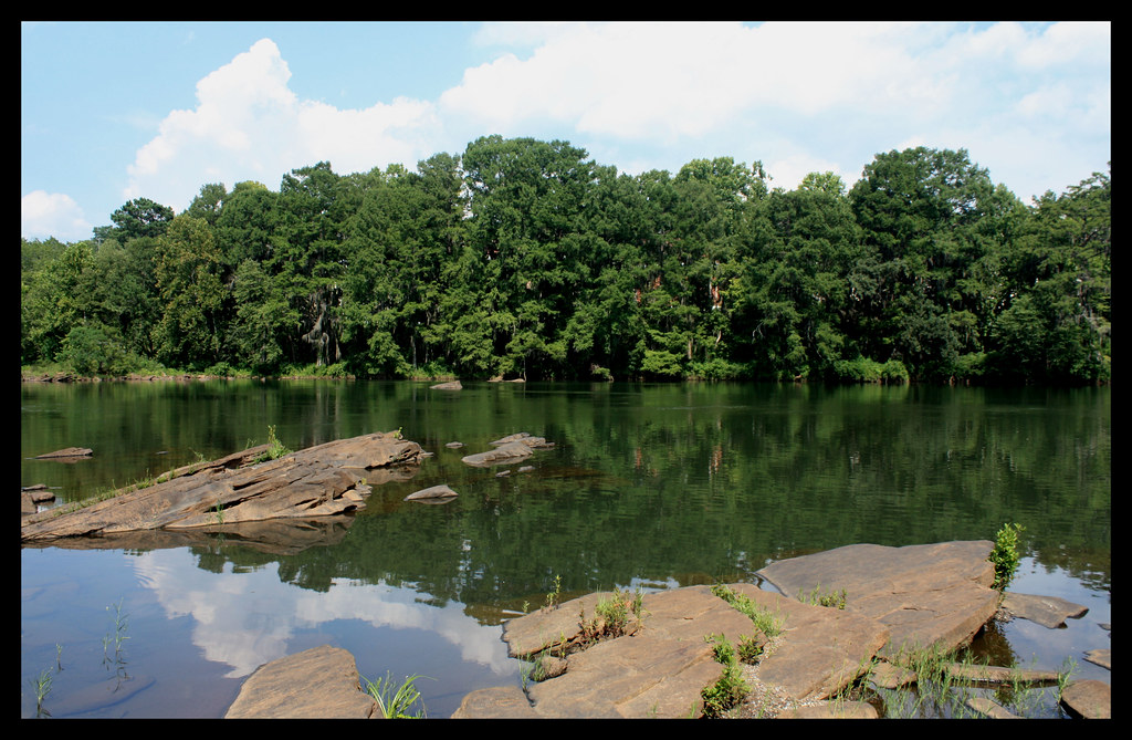
Tallapoosa River
Thurloug Dam
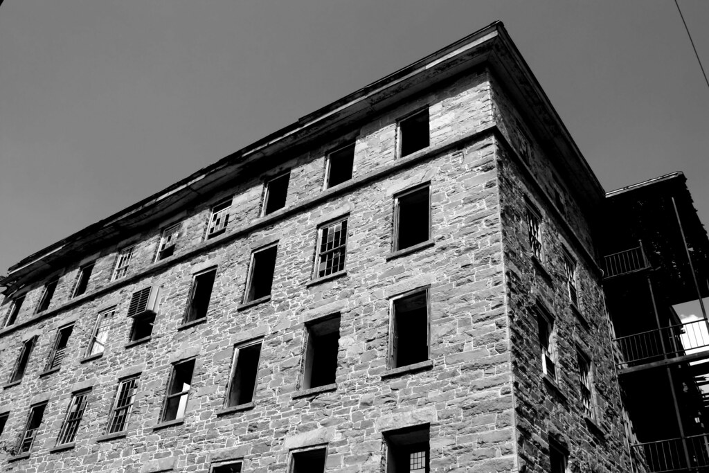
Tallassee Armory

Old Tallassee Mills Bridge
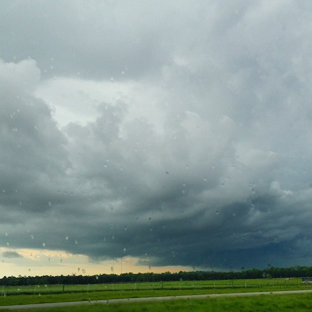
Definitely #scary looking #CloudFormations here in #Alabama #alwx
Topographic Map of Shorter, AL, USA
Find elevation by address:

Places in Shorter, AL, USA:
Places near Shorter, AL, USA:
Old Federal Rd, Shorter, AL, USA
8660 Co Rd 30
34327 Co Rd 2
4725 Co Rd 40
Wall St, Tallassee, AL, USA
77 Eastwood Villa Blvd, Montgomery, AL, USA
Tallassee
Friendship Rd, Tallassee, AL, USA
1009 Mack Taylor Rd
Washington Blvd, Tallassee, AL, USA
545 Hamp Simmons Rd
9821 Red Maple Ln
Notasulga Rd, Tallassee, AL, USA
Elgin Drive
Wares Ferry Rd, Montgomery, AL, USA
Elmore County
3820 Macedonia Rd
8385 Ryan Rd
1523 Indian Pines Rd
Wetumpka, AL, USA
Recent Searches:
- Elevation of Corso Fratelli Cairoli, 35, Macerata MC, Italy
- Elevation of Tallevast Rd, Sarasota, FL, USA
- Elevation of 4th St E, Sonoma, CA, USA
- Elevation of Black Hollow Rd, Pennsdale, PA, USA
- Elevation of Oakland Ave, Williamsport, PA, USA
- Elevation of Pedrógão Grande, Portugal
- Elevation of Klee Dr, Martinsburg, WV, USA
- Elevation of Via Roma, Pieranica CR, Italy
- Elevation of Tavkvetili Mountain, Georgia
- Elevation of Hartfords Bluff Cir, Mt Pleasant, SC, USA