Elevation of Co Rd 2, Shorter, AL, USA
Location: United States > Alabama > Macon County > Shorter >
Longitude: -85.9375577
Latitude: 32.3484822
Elevation: 86m / 282feet
Barometric Pressure: 0KPa
Related Photos:

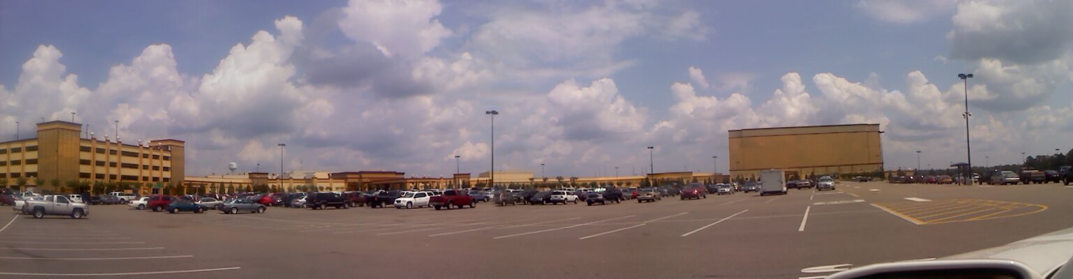
Victoryland Pano-View
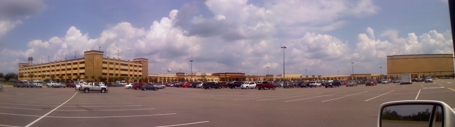
Panoramic View
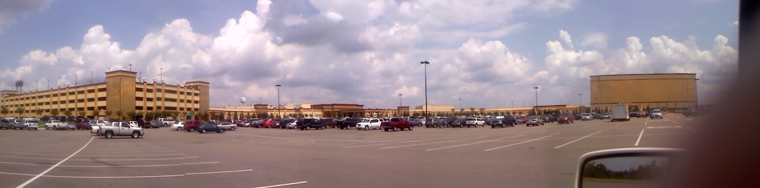
Panoramic View

Dusty Road and Rails

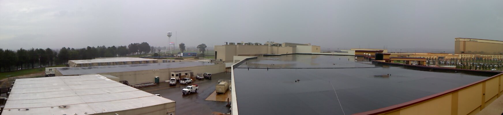
Victoryland Pano-View
Panoramic View
Victoryland Pano-View
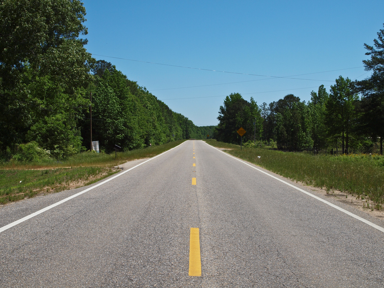
U.S. Route 80
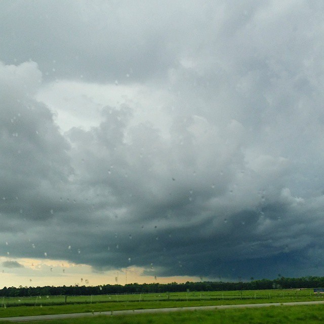
Definitely #scary looking #CloudFormations here in #Alabama #alwx
Topographic Map of Co Rd 2, Shorter, AL, USA
Find elevation by address:

Places near Co Rd 2, Shorter, AL, USA:
Shorter
Old Federal Rd, Shorter, AL, USA
8660 Co Rd 30
4725 Co Rd 40
77 Eastwood Villa Blvd, Montgomery, AL, USA
9821 Red Maple Ln
Elgin Drive
1009 Mack Taylor Rd
545 Hamp Simmons Rd
Wares Ferry Rd, Montgomery, AL, USA
Wall St, Tallassee, AL, USA
8385 Ryan Rd
Friendship Rd, Tallassee, AL, USA
Tallassee
Washington Blvd, Tallassee, AL, USA
Notasulga Rd, Tallassee, AL, USA
538 Seminole Dr
600 Silver Moon Ct
7306 Anna Rose Dr
561 Stonegate Trail
Recent Searches:
- Elevation of North 8th Street, Palatka, Putnam County, Florida, 32177, USA
- Elevation of 107, Big Apple Road, East Palatka, Putnam County, Florida, 32131, USA
- Elevation of Jiezi, Chongzhou City, Sichuan, China
- Elevation of Chongzhou City, Sichuan, China
- Elevation of Huaiyuan, Chongzhou City, Sichuan, China
- Elevation of Qingxia, Chengdu, Sichuan, China
- Elevation of Corso Fratelli Cairoli, 35, Macerata MC, Italy
- Elevation of Tallevast Rd, Sarasota, FL, USA
- Elevation of 4th St E, Sonoma, CA, USA
- Elevation of Black Hollow Rd, Pennsdale, PA, USA
- Elevation of Oakland Ave, Williamsport, PA, USA
- Elevation of Pedrógão Grande, Portugal
- Elevation of Klee Dr, Martinsburg, WV, USA
- Elevation of Via Roma, Pieranica CR, Italy
- Elevation of Tavkvetili Mountain, Georgia
- Elevation of Hartfords Bluff Cir, Mt Pleasant, SC, USA
- Elevation of SW Barberry Dr, Beaverton, OR, USA
- Elevation of Old Ahsahka Grade, Ahsahka, ID, USA
- Elevation of State Hwy F, Pacific, MO, USA
- Elevation of Chemin de Bel air, Chem. de Bel air, Mougins, France