Elevation of Short Rd, Needville, TX, USA
Location: United States > Texas > Fort Bend County > Needville >
Longitude: -95.909695
Latitude: 29.352867
Elevation: 25m / 82feet
Barometric Pressure: 101KPa
Elevation Map:
Satellite Map:
Related Photos:

Frustration - Truss Bridge on abandoned railroad grade, over San Bernard River, Newgulf, Texas 1225091327
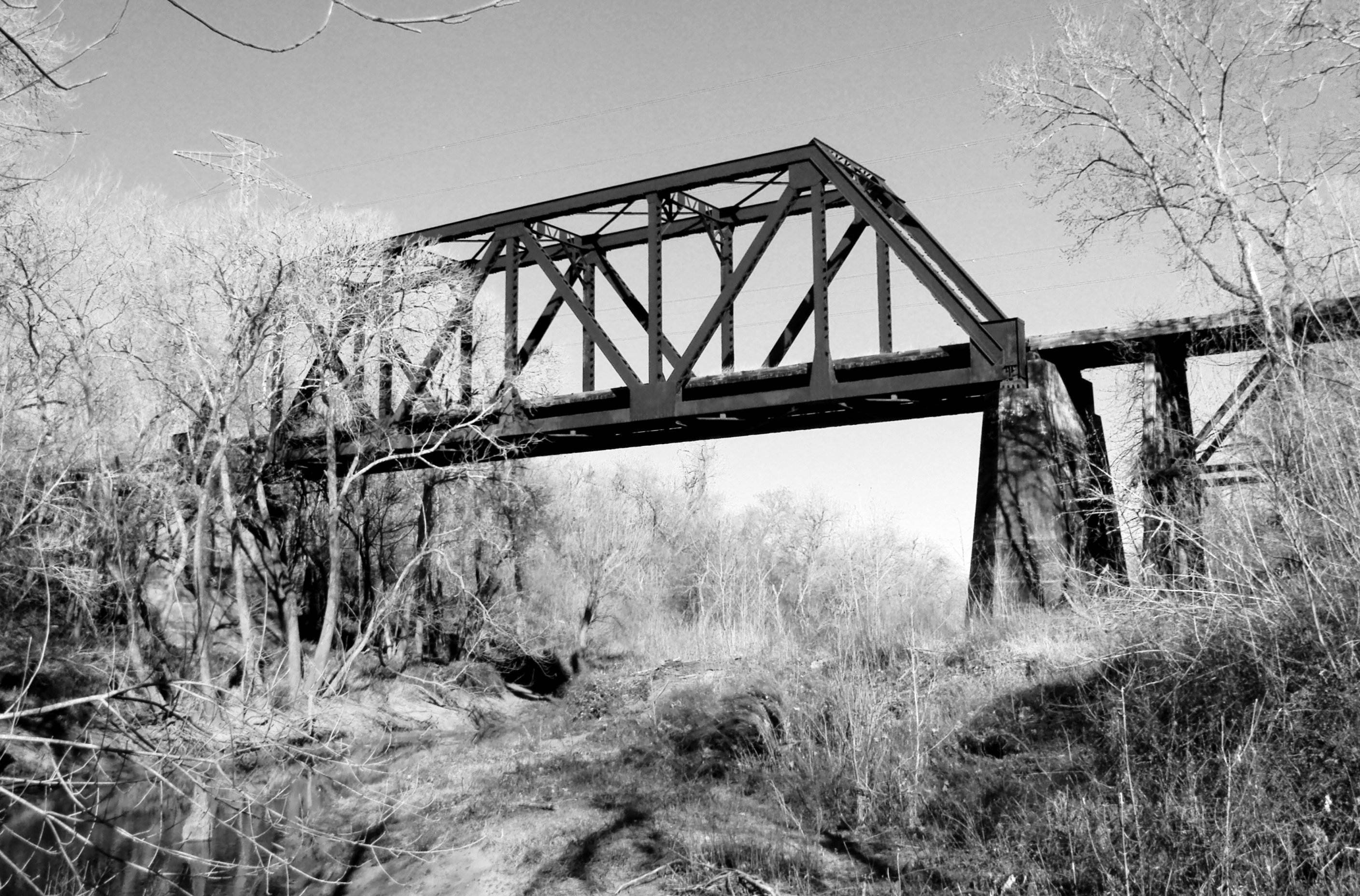
Abandoned Through Truss Railroad Bridge over San Bernard River, Newgulf, Texas 0212111557BW

Two KCS locomotives, silhouette view

Hoppers at KCS Rosenberg Intermodal Terminal

Switching at KCS Rosenberg Intermodal Terminal

KCS diesel power

One place, three views

Manifest freight in Kendleton TX

KCS manifest train, Kendleton TX

Free time
Topographic Map of Short Rd, Needville, TX, USA
Find elevation by address:

Places near Short Rd, Needville, TX, USA:
Short Road
Moody Road
County Road 160
11210 Fm442
5699 Boyett Dr
5550 Boyett Dr
5550 Boyett Dr
5550 Boyett Dr
Pharris Drive
5503 Boyett Dr
5545 Boyett Dr
Patty Lane
5300 Boyett Dr
Needville
3825 Donaldson Rd
15518 Tx-36
Boling-iago
5021 County Rd 121
401 Lum Rd
Guy
Recent Searches:
- Elevation of Corso Fratelli Cairoli, 35, Macerata MC, Italy
- Elevation of Tallevast Rd, Sarasota, FL, USA
- Elevation of 4th St E, Sonoma, CA, USA
- Elevation of Black Hollow Rd, Pennsdale, PA, USA
- Elevation of Oakland Ave, Williamsport, PA, USA
- Elevation of Pedrógão Grande, Portugal
- Elevation of Klee Dr, Martinsburg, WV, USA
- Elevation of Via Roma, Pieranica CR, Italy
- Elevation of Tavkvetili Mountain, Georgia
- Elevation of Hartfords Bluff Cir, Mt Pleasant, SC, USA