Elevation of TX-36, Needville, TX, USA
Location: United States > Texas > Fort Bend County > Needville >
Longitude: -95.812606
Latitude: 29.3778545
Elevation: 27m / 89feet
Barometric Pressure: 101KPa
Elevation Map:
Satellite Map:
Related Photos:
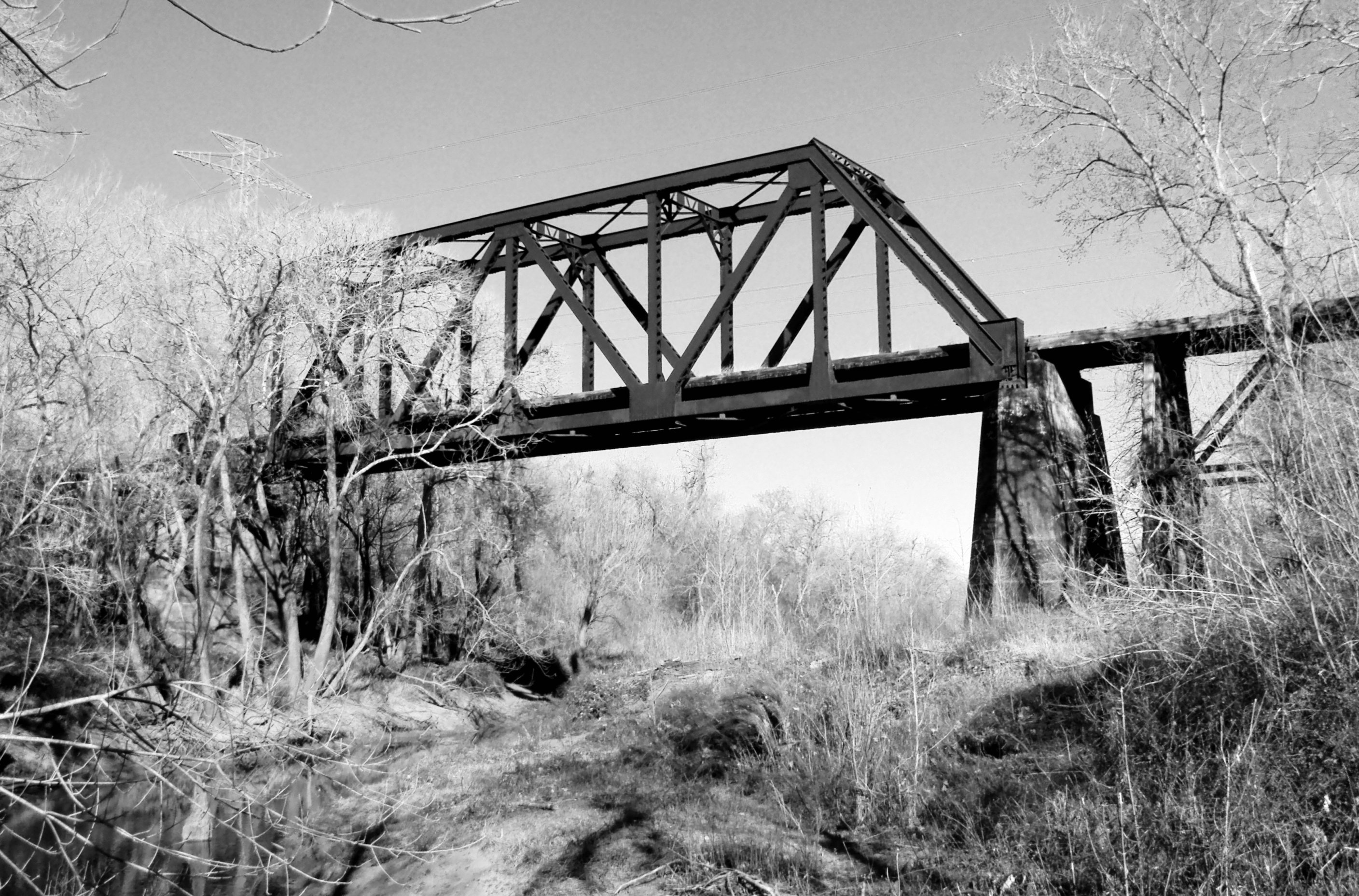
Abandoned Through Truss Railroad Bridge over San Bernard River, Newgulf, Texas 0212111557BW
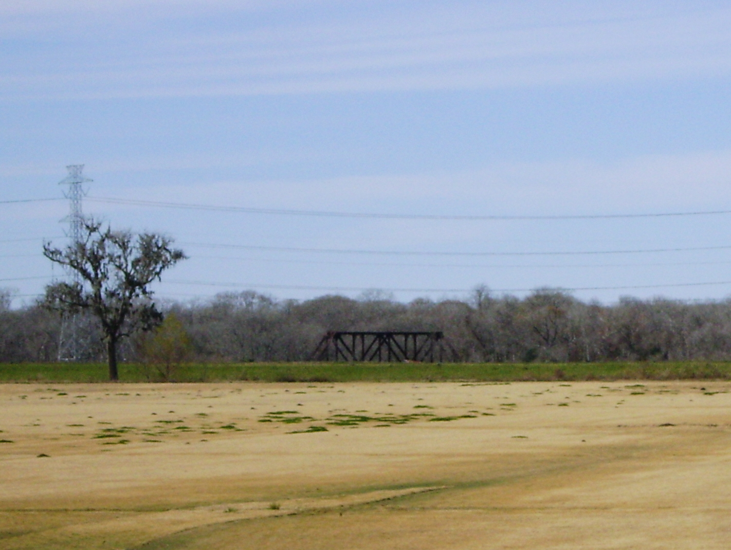
Frustration - Truss Bridge on abandoned railroad grade, over San Bernard River, Newgulf, Texas 1225091327

One place, three views

Textural Study

Free time

Needville, TX

Sandhill Crane
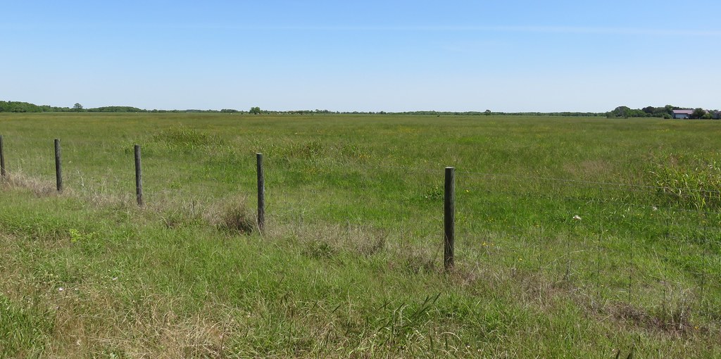
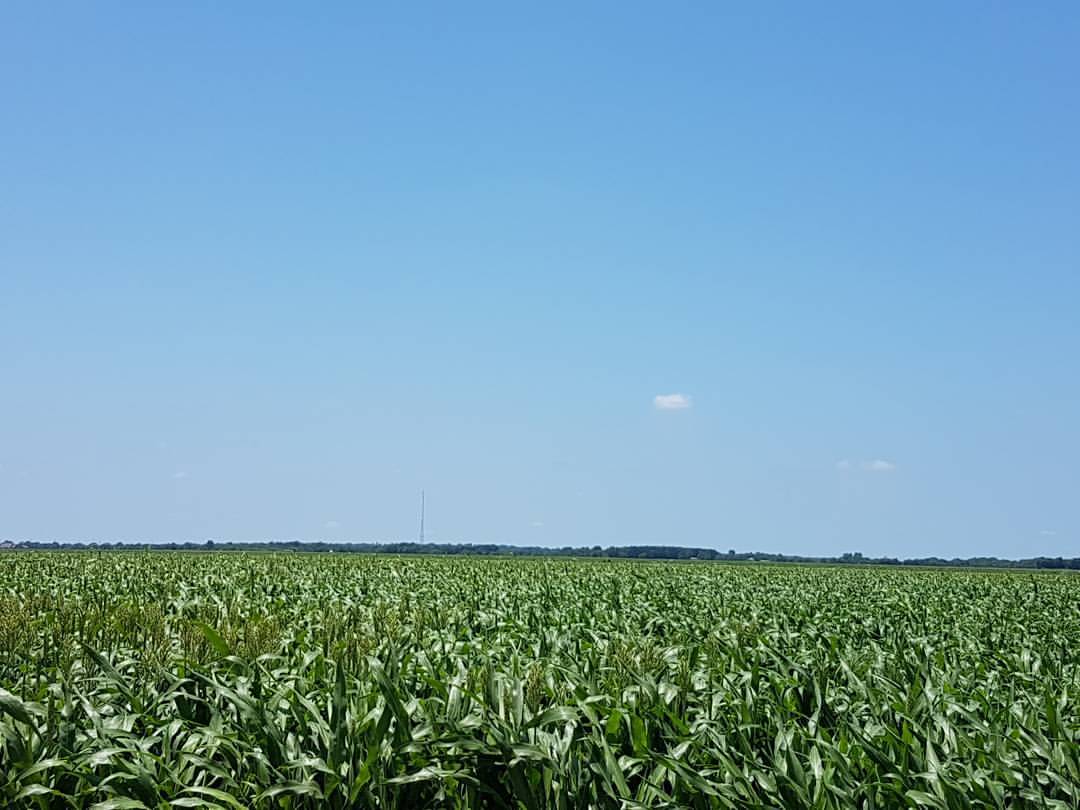
South Central Texas Landscape (Fort Bend County, Texas)
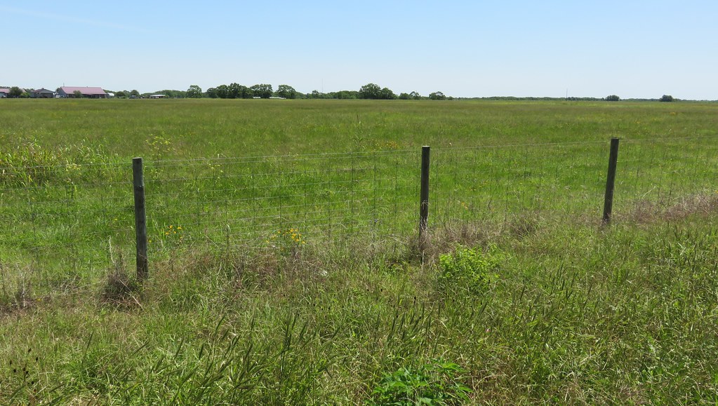
South Central Texas Landscape (Brazoria County, Texas)
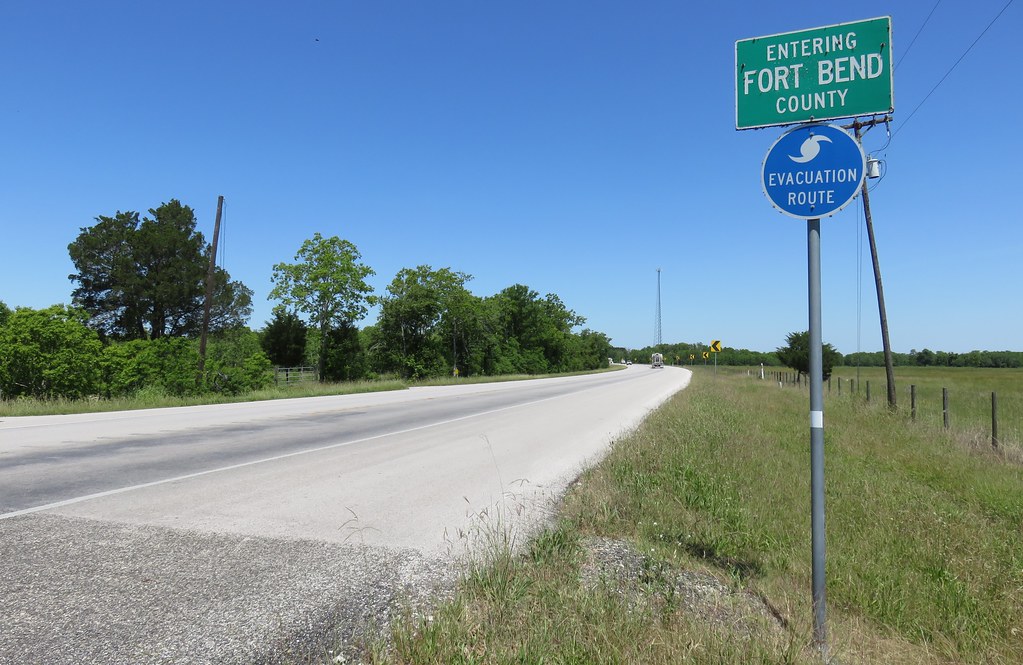
Entering Fort Bend County (Fort Bend County, Texas)

Entering Brazoria County (Brazoria County, Texas)
Grain sorghum #farm

Sunrise over the Brazos
Topographic Map of TX-36, Needville, TX, USA
Find elevation by address:

Places near TX-36, Needville, TX, USA:
Needville
FM Rd, Richmond, TX, USA
10303 Vacek Rd
Moody Road
Pleak
6502 Snowbell Ct
Bluestem Prairie Drive
Fort Bend County Fair Association
Dutch John Cir, Richmond, TX, USA
Beasley
5699 Boyett Dr
Clodine, TX, USA
Brazos Lakes
803 Oak River Ln
Bridlewood Estates
Smithers Lake
Royal Lakes Estates
822 Royal Lakes Blvd
Royal Lake Estates
9134 Royal Crest Ln
Recent Searches:
- Elevation of Corso Fratelli Cairoli, 35, Macerata MC, Italy
- Elevation of Tallevast Rd, Sarasota, FL, USA
- Elevation of 4th St E, Sonoma, CA, USA
- Elevation of Black Hollow Rd, Pennsdale, PA, USA
- Elevation of Oakland Ave, Williamsport, PA, USA
- Elevation of Pedrógão Grande, Portugal
- Elevation of Klee Dr, Martinsburg, WV, USA
- Elevation of Via Roma, Pieranica CR, Italy
- Elevation of Tavkvetili Mountain, Georgia
- Elevation of Hartfords Bluff Cir, Mt Pleasant, SC, USA