Elevation of Shore Rd, Margaree, NS B0E 1Y0, Canada
Location: Canada > Nova Scotia > Inverness County > Inverness, Subd. A > Margaree Harbour >
Longitude: -61.148725
Latitude: 46.4120809
Elevation: 29m / 95feet
Barometric Pressure: 101KPa
Elevation Map:
Satellite Map:
Related Photos:
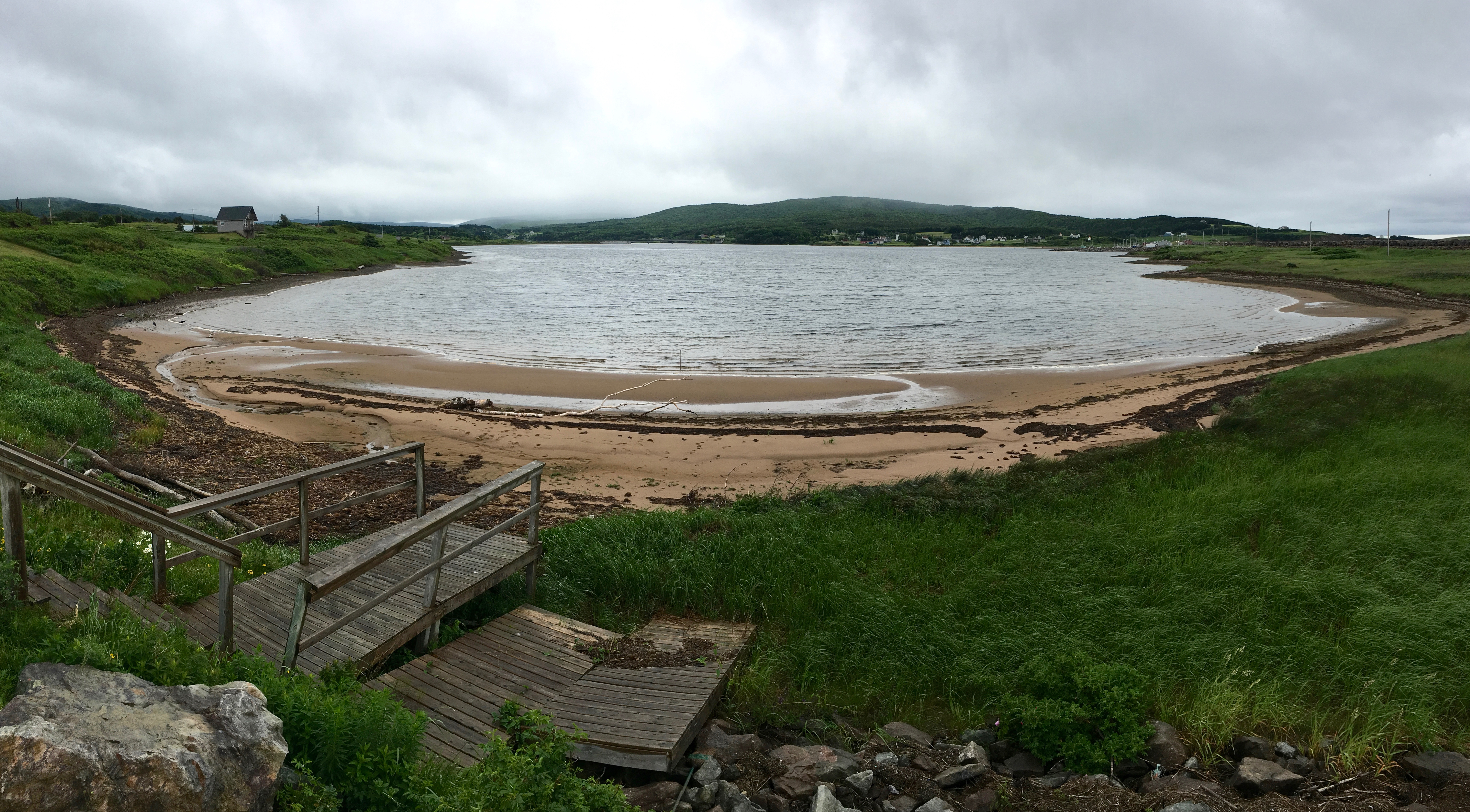
View from the Lobster Pound
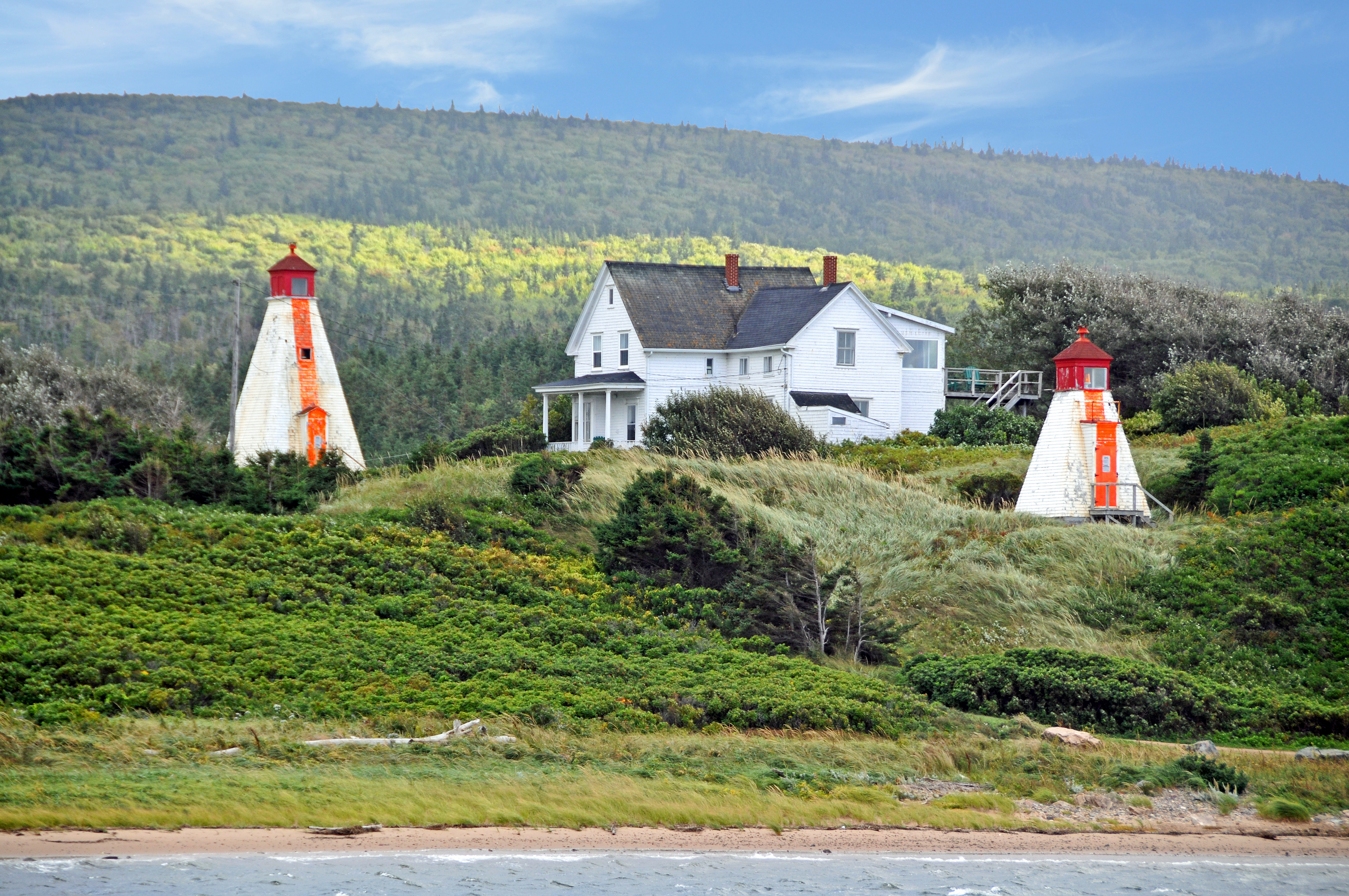
DGJ_4502 - Margaree Harbour Range Lights
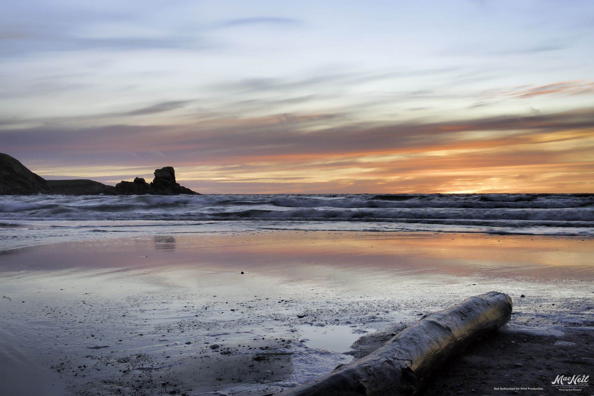
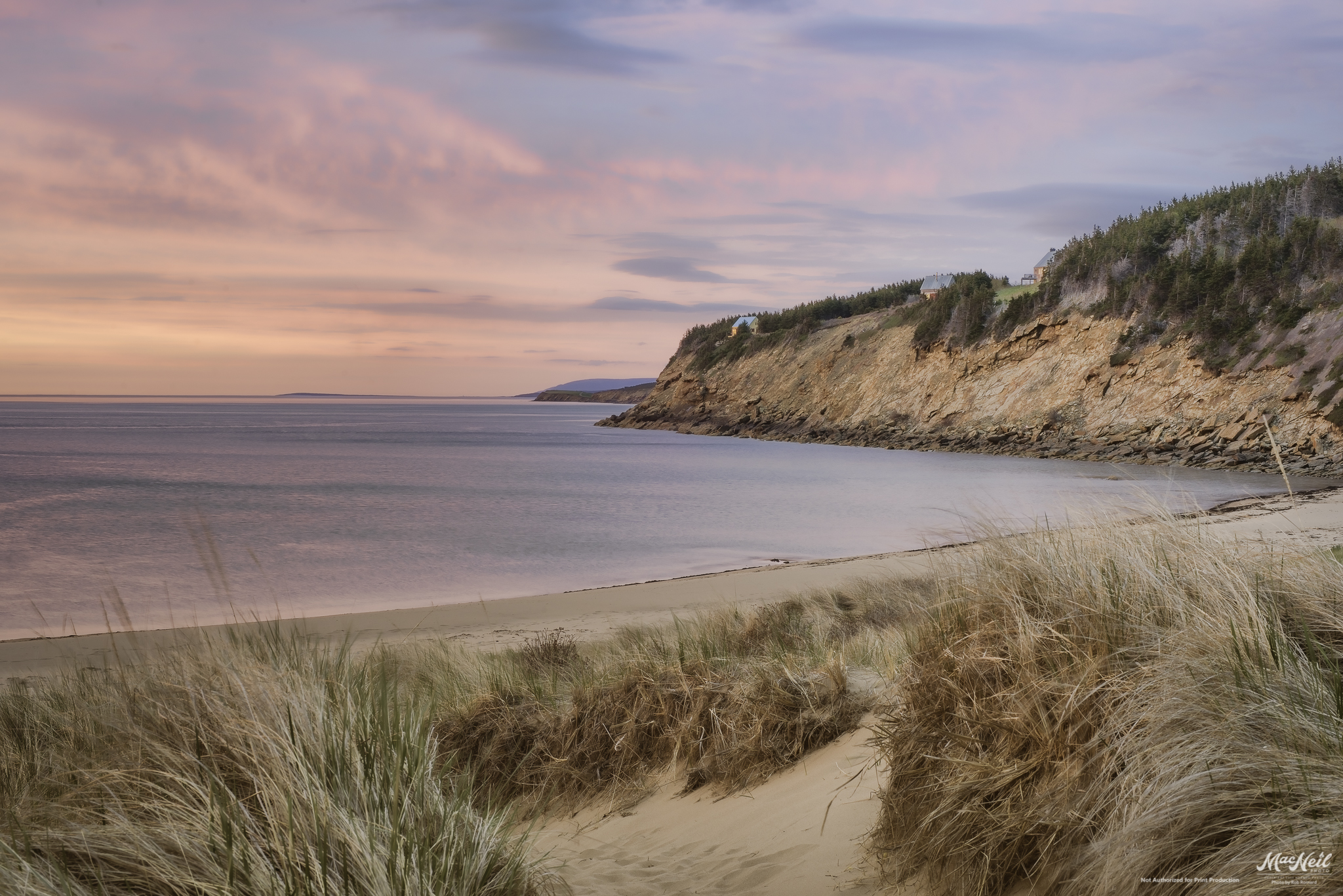
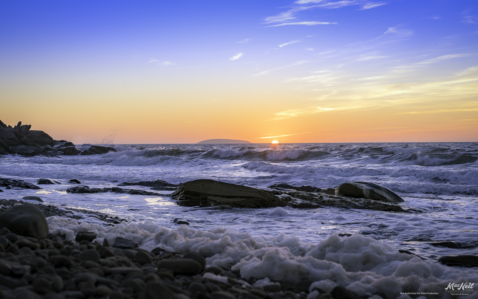
MacKinnon's Beach after sunset tonight
sunset over the banks of Terre Noire
Chimney Corner
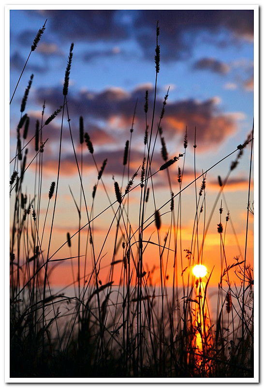
Cheticamp Sunset
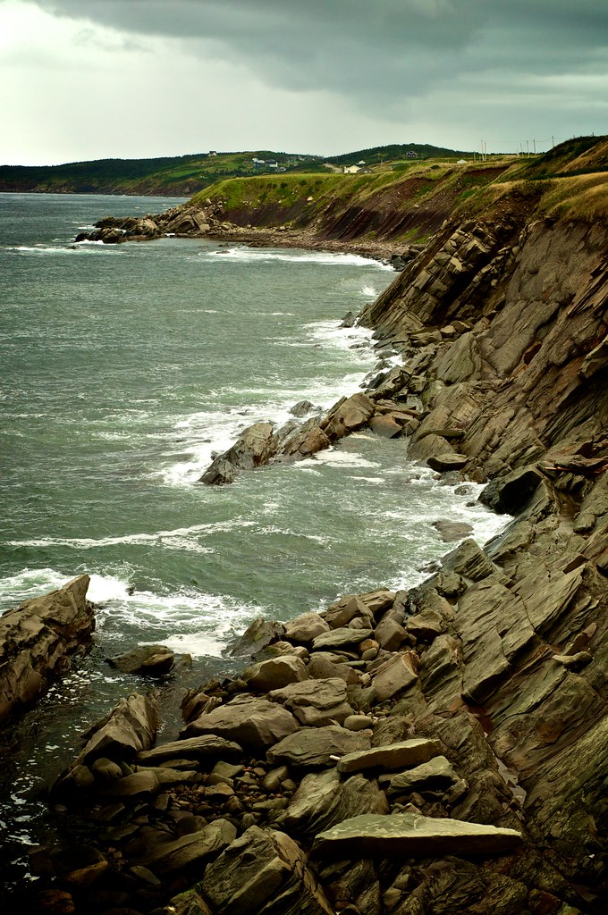
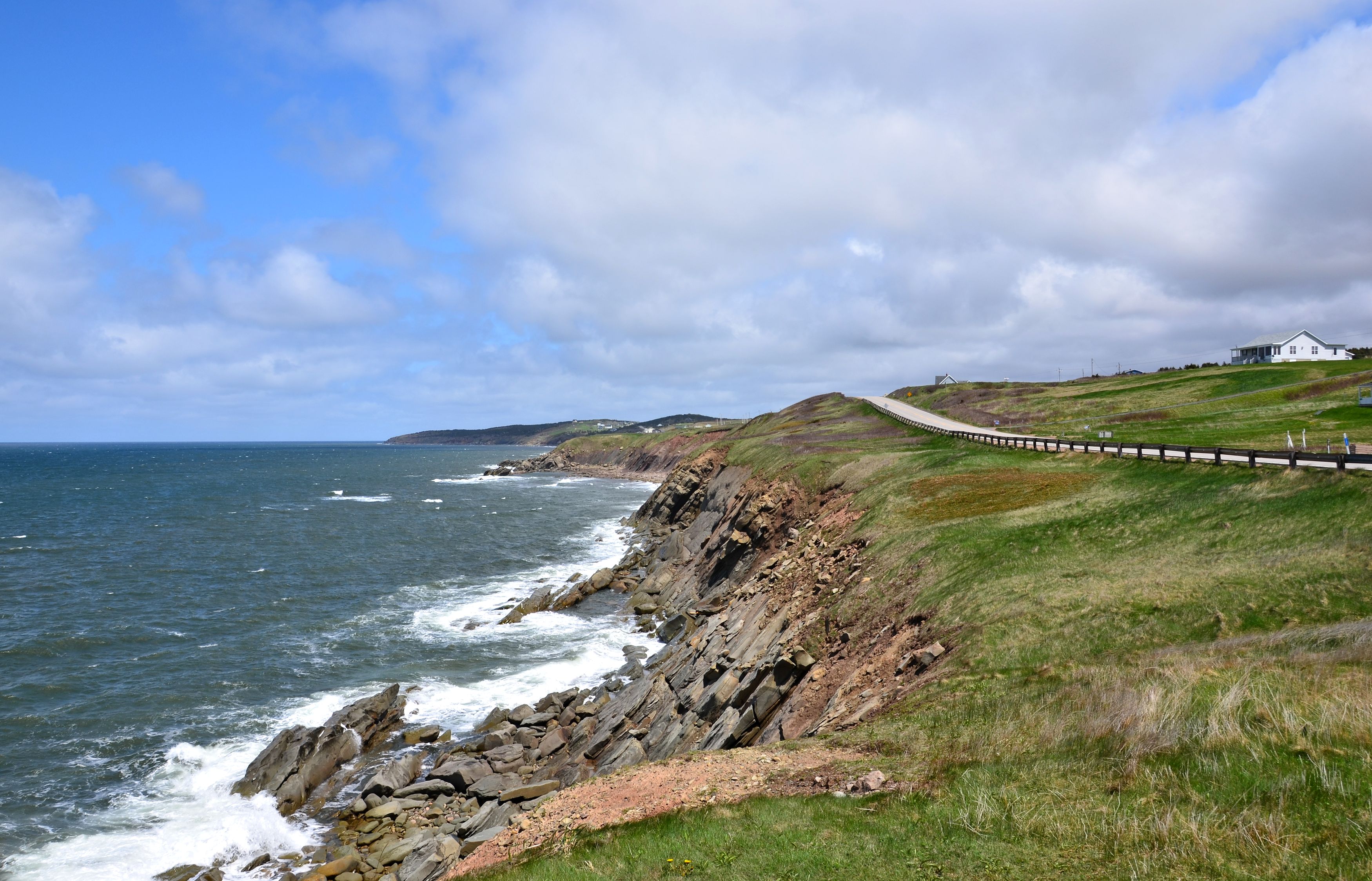
Cape Breton Coastal
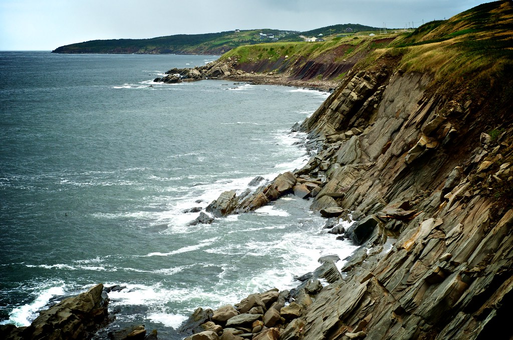
Cape Breton Coastal
sunset next to Sea Wolf Island this evening
051913-544F

Raindrops in a Pond near Phillips Mountain

The Margaree Forks in the road

a small Aurora at the end of the Margaree River
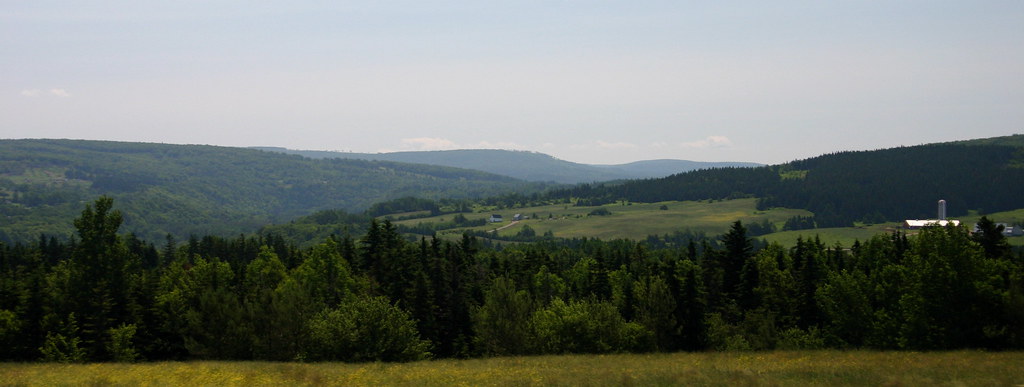
rolling hills

130907-154023.jpg

Rain Clouds Building
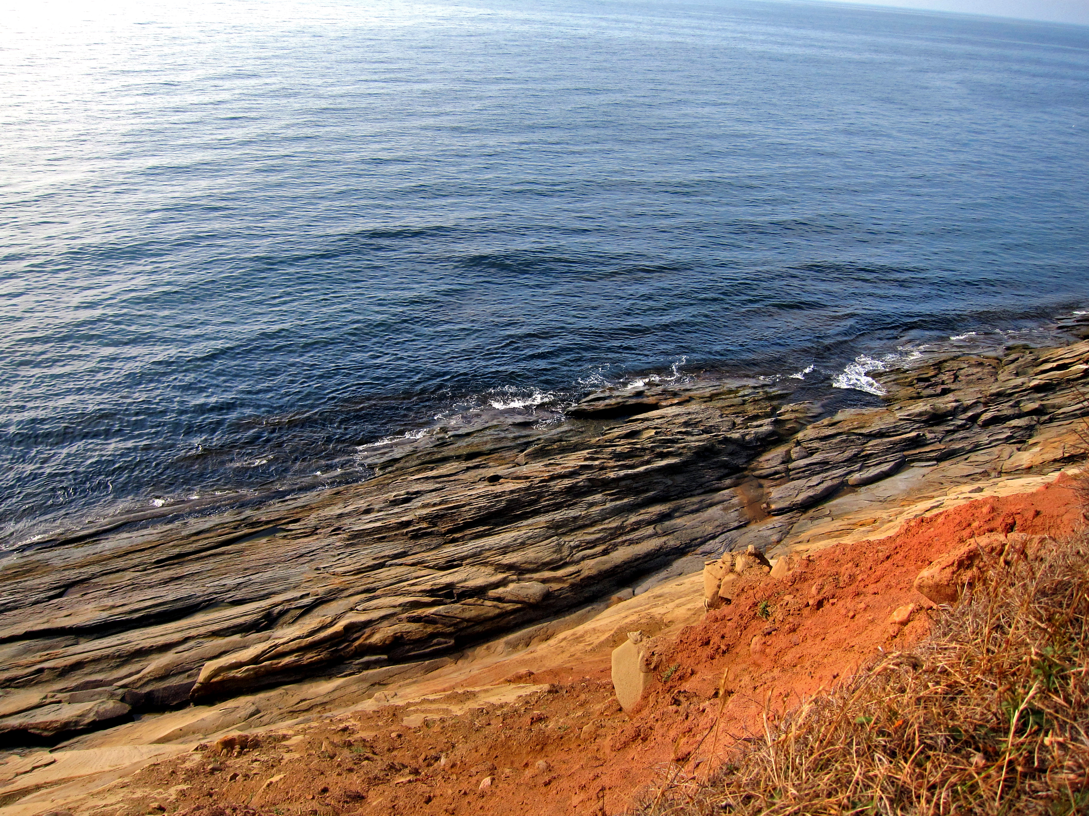
Whale Cove
Topographic Map of Shore Rd, Margaree, NS B0E 1Y0, Canada
Find elevation by address:

Places near Shore Rd, Margaree, NS B0E 1Y0, Canada:
2992 Shore Rd
Margaree Harbour
Cabot Trail, Saint Joseph du Moine, NS B0E 3A0, Canada
12693 Cabot Trail Rd
Saint Joseph Du Moine
Cabot Trail, Saint Joseph du Moine, NS B0E 3A0, Canada
Grand Étang
Big Intervale Fishing Lodge
Point Cross
W Big Intervale Rd, Margaree Valley, NS B0E 2C0, Canada
Chéticamp
Le Platin
Belle-marche
1588 Cheticamp Back Rd
Cabot Trail, Petit Étang, NS B0E 2M0, Canada
14 Lapointe Rd
Petit Étang
Cabot Trail, Petit Étang, NS B0E 2M0, Canada
257 Bourgeois Rd
Bourgeois Road
Recent Searches:
- Elevation of Corso Fratelli Cairoli, 35, Macerata MC, Italy
- Elevation of Tallevast Rd, Sarasota, FL, USA
- Elevation of 4th St E, Sonoma, CA, USA
- Elevation of Black Hollow Rd, Pennsdale, PA, USA
- Elevation of Oakland Ave, Williamsport, PA, USA
- Elevation of Pedrógão Grande, Portugal
- Elevation of Klee Dr, Martinsburg, WV, USA
- Elevation of Via Roma, Pieranica CR, Italy
- Elevation of Tavkvetili Mountain, Georgia
- Elevation of Hartfords Bluff Cir, Mt Pleasant, SC, USA