Elevation of Cabot Trail Rd, Saint Joseph du Moine, NS B0E 3A0, Canada
Location: Canada > Nova Scotia > Inverness County > Inverness, Subd. A > Saint Joseph Du Moine >
Longitude: -61.059317
Latitude: 46.532388
Elevation: 28m / 92feet
Barometric Pressure: 101KPa
Elevation Map:
Satellite Map:
Related Photos:

Day 12 - Chéticamp to Ingonish, Cape Breton - Morning light in Chéticamp

Day 12 - Chéticamp to Ingonish, Cape Breton - View from our room, Chéticamp harbour lighthouse and fishing boat

West of Cheticamp (2)

Day 12 - Chéticamp to Ingonish, Cape Breton - Cormorant doing a dance...

Along the Cabot Trail...

Anse des Philibert, Nova Scotia

St. Lawrence Coast

Day 12 - Chéticamp to Ingonish, Cape Breton - Lighthouse across Chéticamp harbour

Day 12 - Chéticamp to Ingonish, Cape Breton - Chéticamp habour

Cabot Trail Nova Scotia Canada IMG_2897 2.jpg

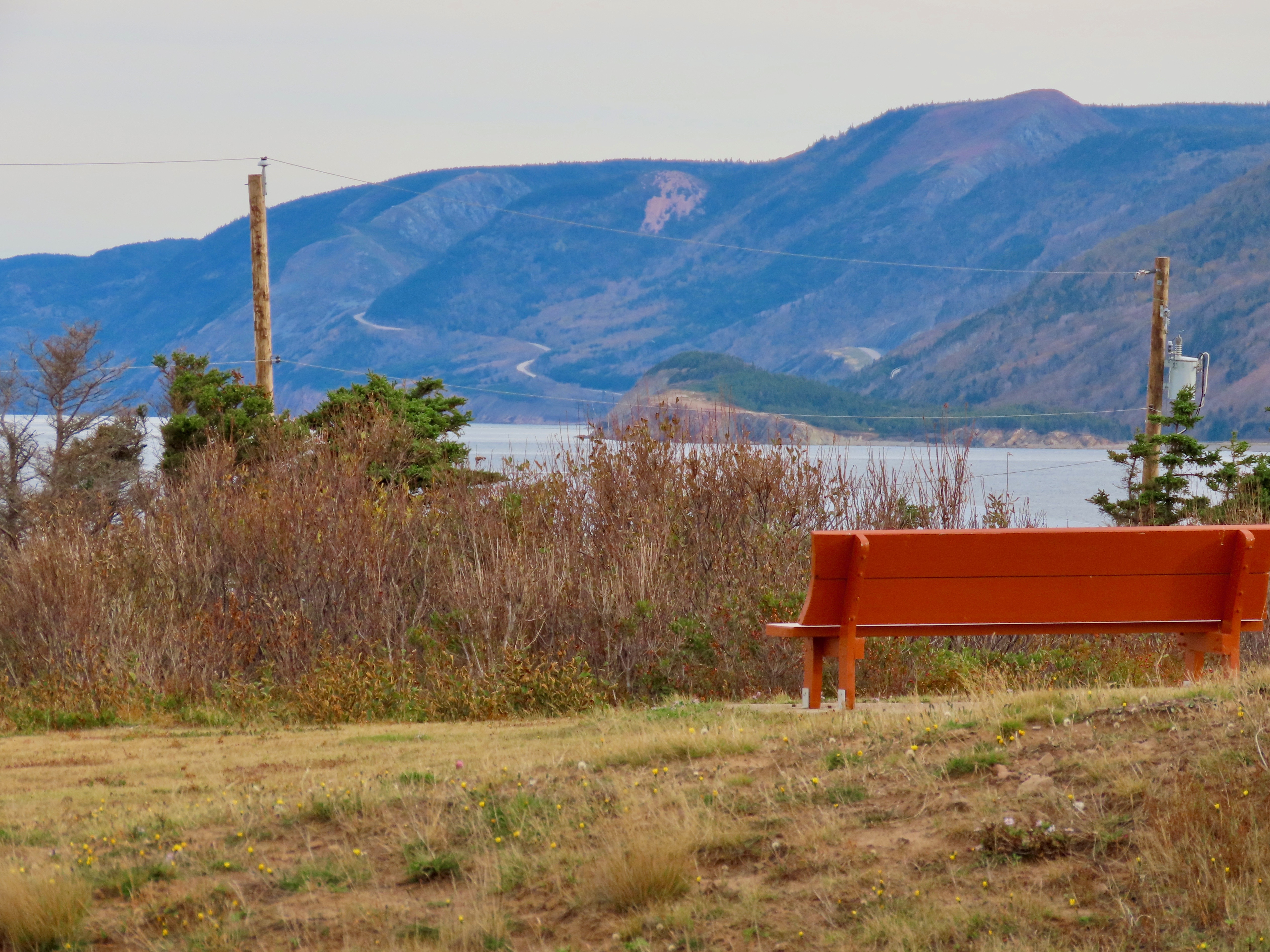
Scenic Stop

Acadia Hike Cabot Trail Canada Nova Scotia GOPR1171.jpg
Day 12 - Chéticamp to Ingonish, Cape Breton - In the distance, the Cabot Trail winds its way up into the highlands

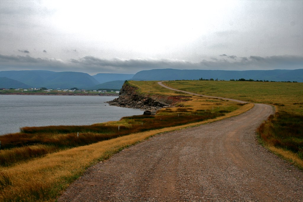
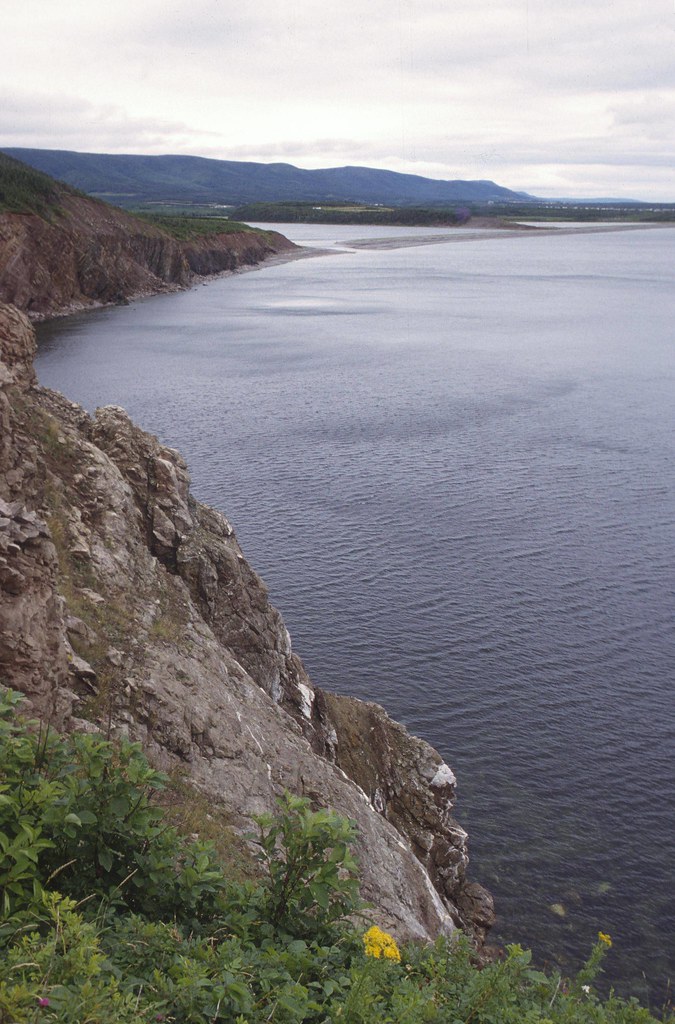
03-025 Cliffs & Gulf of Saint Lawrence
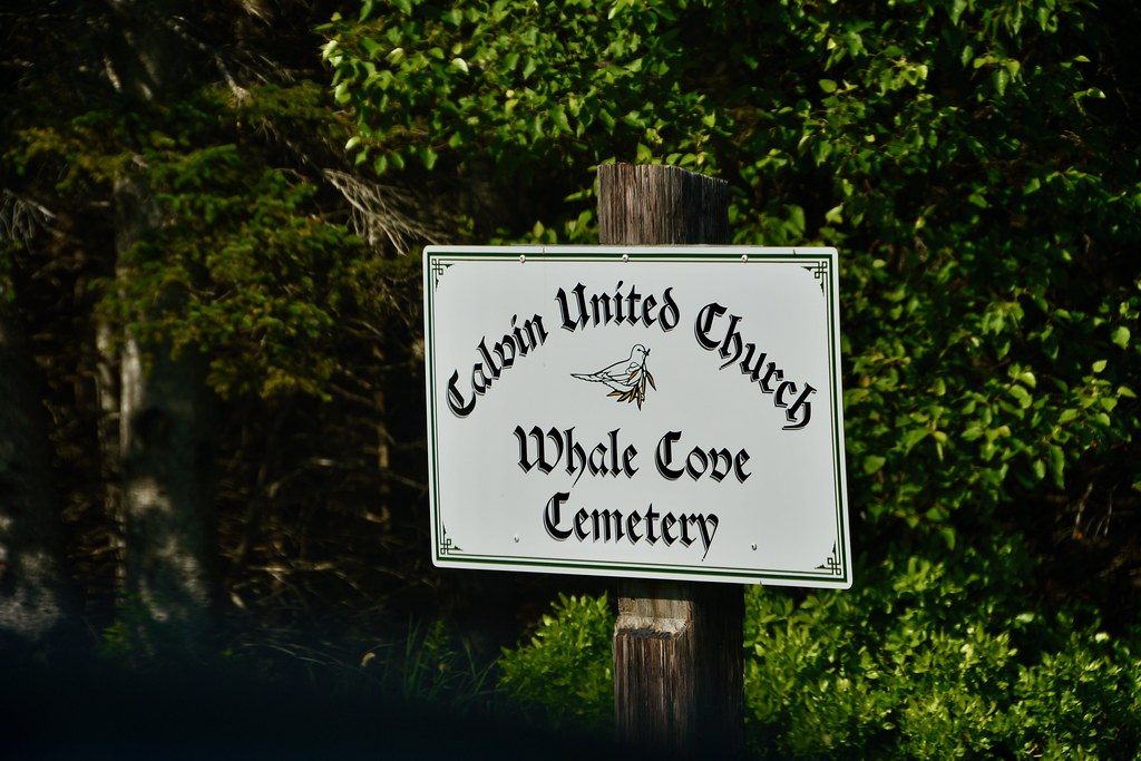
03-013 Whale Cove Cemetery Sign
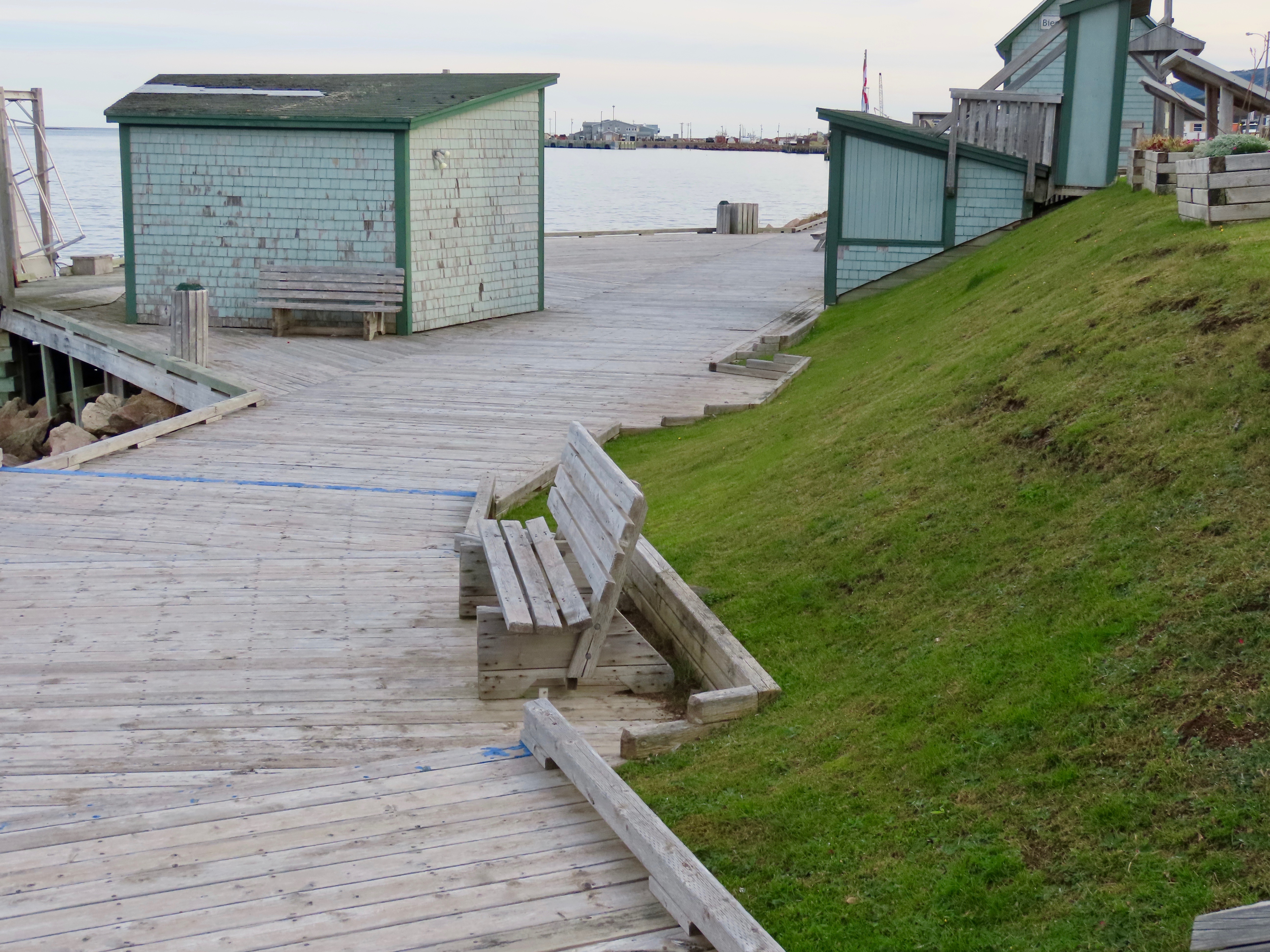
Day 12 - Chéticamp to Ingonish, Cape Breton - Harbour boardwalk

Chéticamp

"saint pierre church"

Acadia Hike Trail View Trees
Cheticamp Island

Day 11 - Truro NS to Chéticamp, Cape Breton - Acadian Trail Hike 16 - Larry looking for a better view

Evening Drive on Cape Breton
Cats-paws

sunset next to Sea Wolf Island this evening

sunset over the banks of Terre Noire

Whale Cove after sunset last night

DGJ_4502 - Margaree Harbour Range Lights

DGJ_4503 - Margaree Harbour Range Lights

Rural Nova Scotia

a small Aurora at the end of the Margaree River
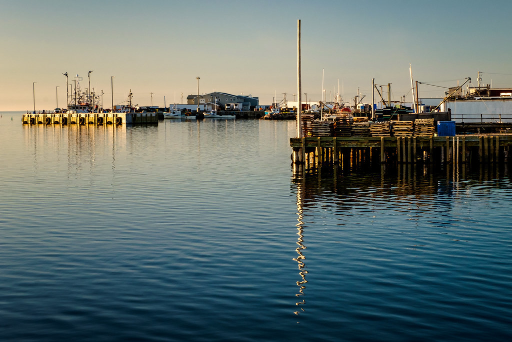
cheticamp harbour

an ocean mist rainbow created by Les Suêtes

MacKinnon's Beach after sunset tonight

Perfect Reflections

just as the rain starts

Chéticamp (Nova Scotia, Canada)

Cheticamp sundown

the Monster lit up, lightning storm approaching Margaree Harbour Beach tonight

Ice Pillars lighting up the Margaree River
Topographic Map of Cabot Trail Rd, Saint Joseph du Moine, NS B0E 3A0, Canada
Find elevation by address:

Places near Cabot Trail Rd, Saint Joseph du Moine, NS B0E 3A0, Canada:
Cabot Trail, Saint Joseph du Moine, NS B0E 3A0, Canada
Saint Joseph Du Moine
Cabot Trail, Saint Joseph du Moine, NS B0E 3A0, Canada
Grand Étang
Point Cross
Chéticamp
Le Platin
Margaree Harbour
Belle-marche
1588 Cheticamp Back Rd
Cabot Trail, Petit Étang, NS B0E 2M0, Canada
14 Lapointe Rd
2992 Shore Rd
Petit Étang
2992 Shore Rd
Big Intervale Fishing Lodge
W Big Intervale Rd, Margaree Valley, NS B0E 2C0, Canada
Cabot Trail, Petit Étang, NS B0E 2M0, Canada
257 Bourgeois Rd
Bourgeois Road
Recent Searches:
- Elevation of Corso Fratelli Cairoli, 35, Macerata MC, Italy
- Elevation of Tallevast Rd, Sarasota, FL, USA
- Elevation of 4th St E, Sonoma, CA, USA
- Elevation of Black Hollow Rd, Pennsdale, PA, USA
- Elevation of Oakland Ave, Williamsport, PA, USA
- Elevation of Pedrógão Grande, Portugal
- Elevation of Klee Dr, Martinsburg, WV, USA
- Elevation of Via Roma, Pieranica CR, Italy
- Elevation of Tavkvetili Mountain, Georgia
- Elevation of Hartfords Bluff Cir, Mt Pleasant, SC, USA