Elevation map of Shire of Roebourne, Roebourne, WA, Australia
Location: Australia > Western Australia >
Longitude: 116.608165
Latitude: -20.959649
Elevation: 32m / 105feet
Barometric Pressure: 101KPa
Elevation Map:
Satellite Map:
Related Photos:
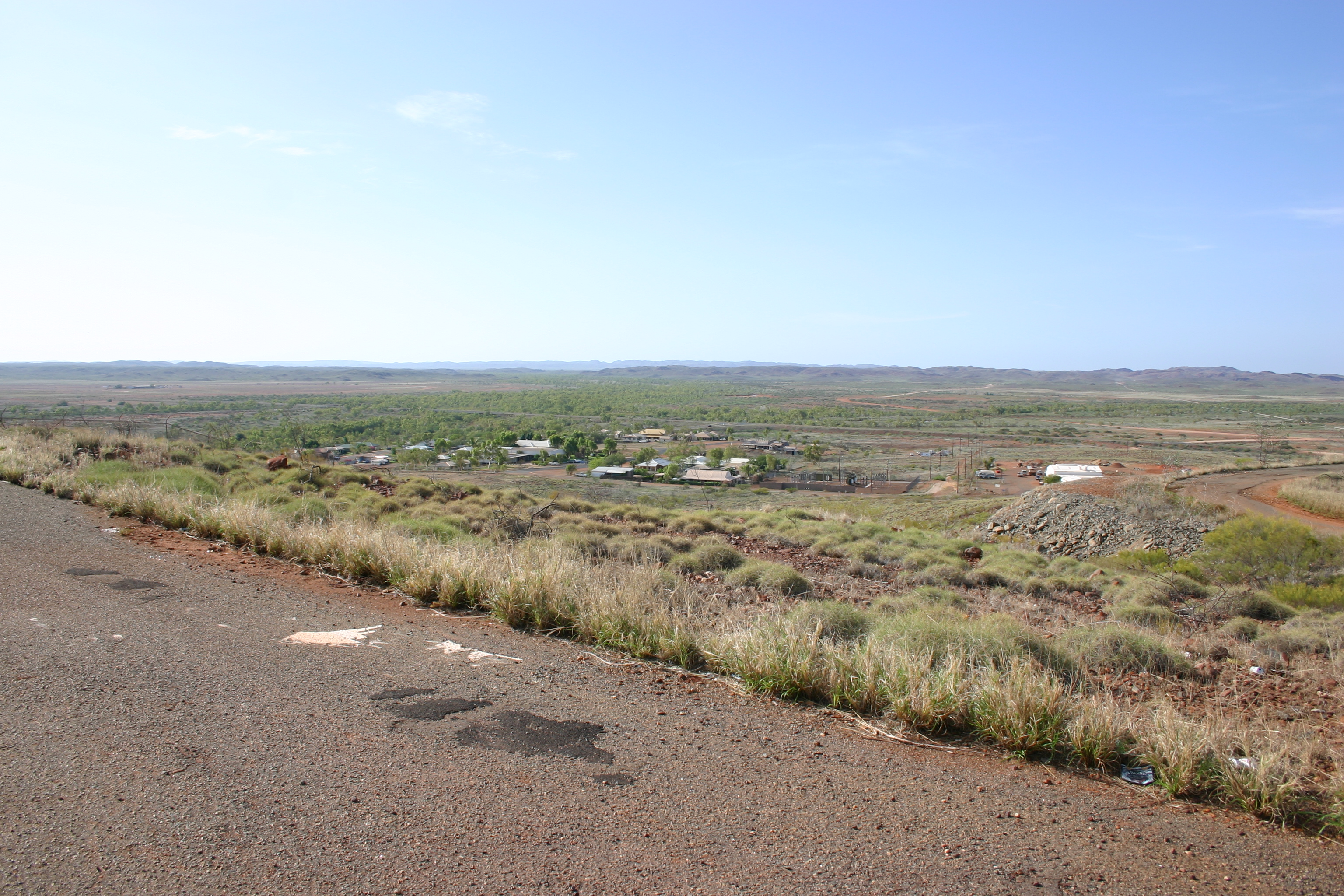
First view of Roebourne, Western Australia
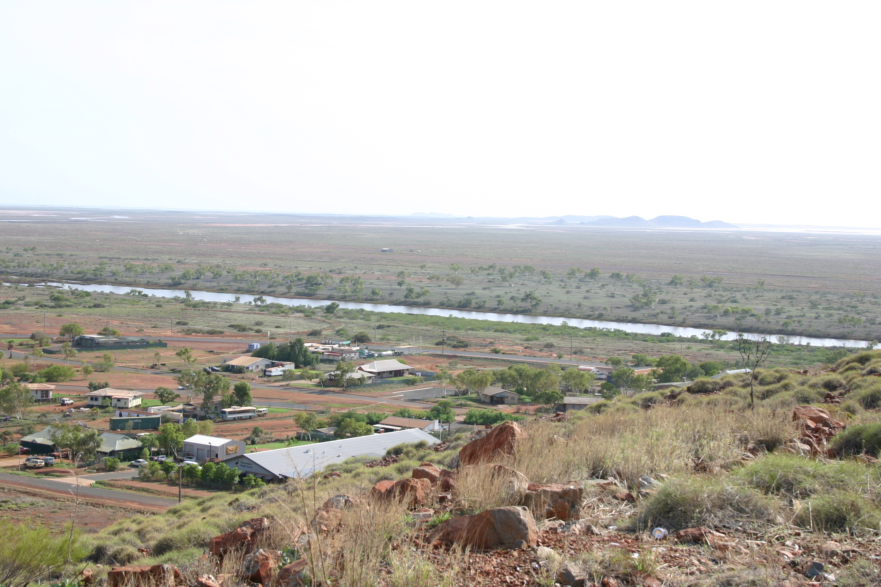
View of Roebourne in opposite direction
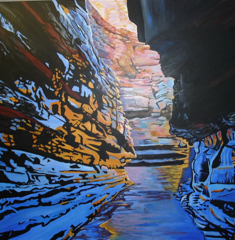
Karijini Contrast
Topographic Map of Shire of Roebourne, Roebourne, WA, Australia
Find elevation by address:

Places in Shire of Roebourne, Roebourne, WA, Australia:
Places near Shire of Roebourne, Roebourne, WA, Australia:
Recent Searches:
- Elevation of Corso Fratelli Cairoli, 35, Macerata MC, Italy
- Elevation of Tallevast Rd, Sarasota, FL, USA
- Elevation of 4th St E, Sonoma, CA, USA
- Elevation of Black Hollow Rd, Pennsdale, PA, USA
- Elevation of Oakland Ave, Williamsport, PA, USA
- Elevation of Pedrógão Grande, Portugal
- Elevation of Klee Dr, Martinsburg, WV, USA
- Elevation of Via Roma, Pieranica CR, Italy
- Elevation of Tavkvetili Mountain, Georgia
- Elevation of Hartfords Bluff Cir, Mt Pleasant, SC, USA