Elevation of Pegs Creek WA, Australia
Location: Australia > Western Australia > Shire Of Roebourne >
Longitude: 116.835078
Latitude: -20.732220
Elevation: 7m / 23feet
Barometric Pressure: 101KPa
Elevation Map:
Satellite Map:
Related Photos:
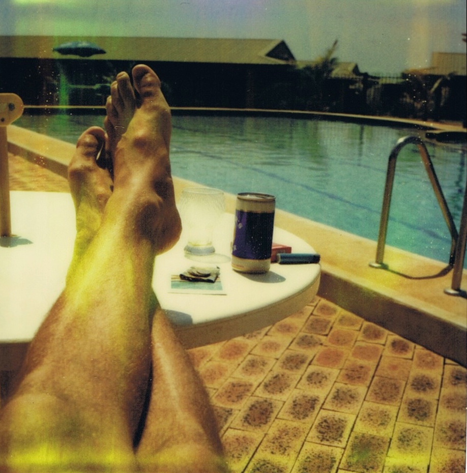
Polaroid 6
#pennypalms #room #view #back2work #bythewater #dampier #riotinto #site
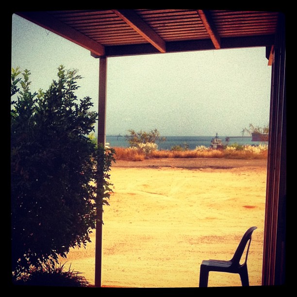
A view from the top.

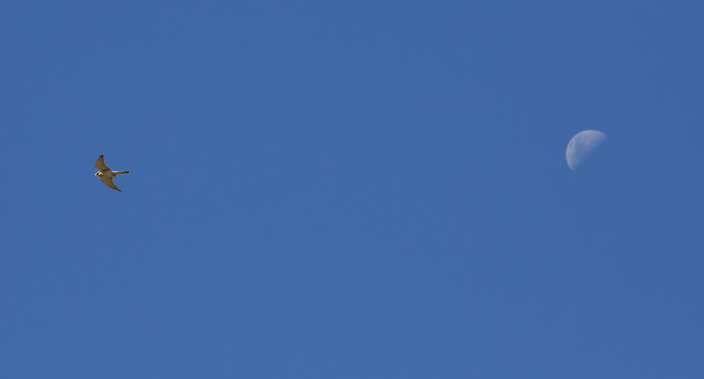
Brown Falcon
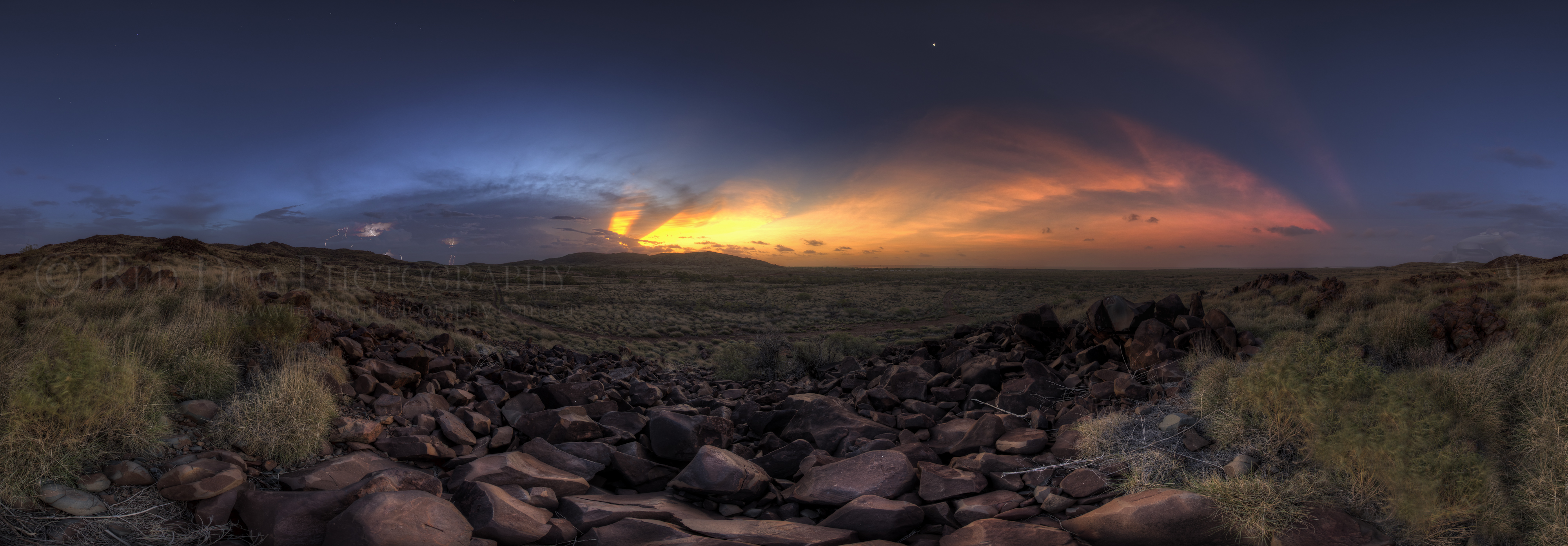
Sunset Lightning Pano
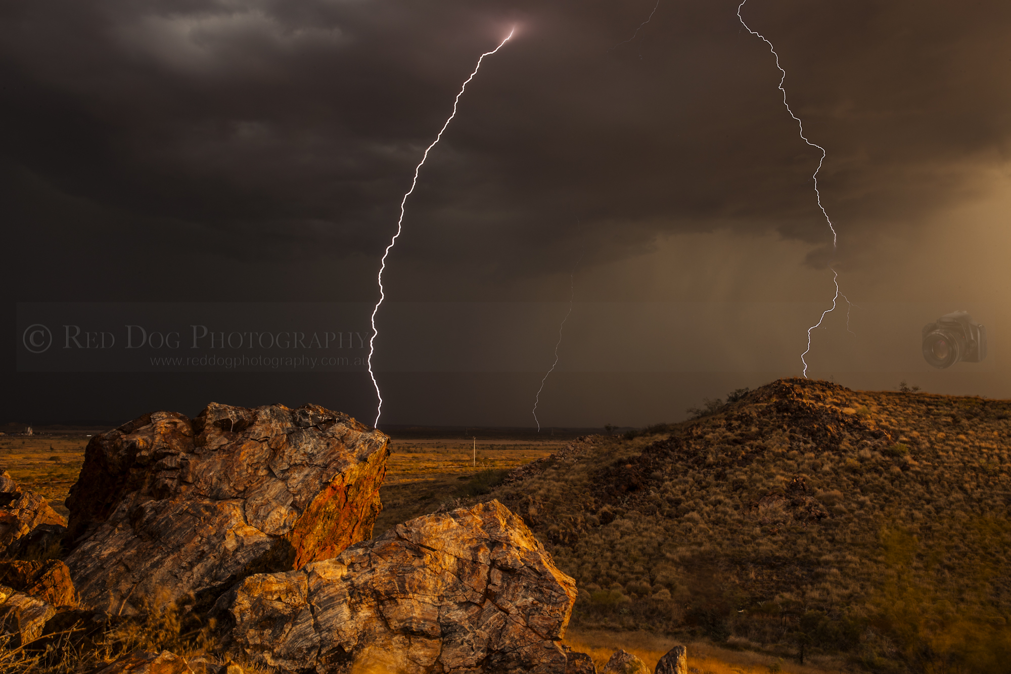
BAM!
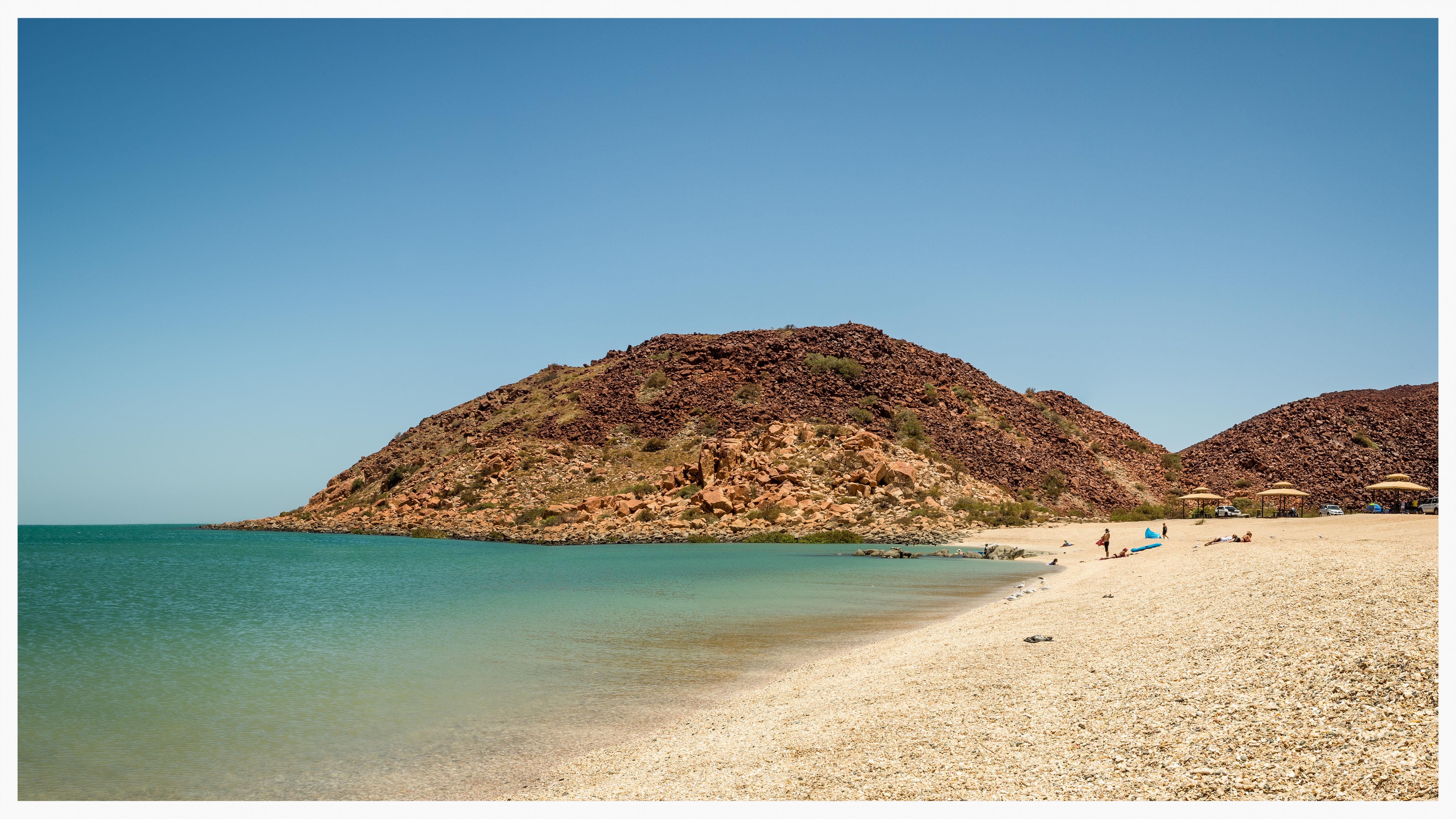
Shell beach. Hearson's Cove, Dampier
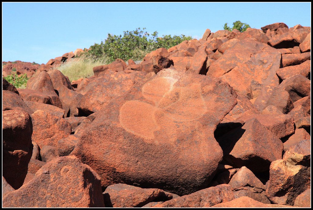
Ancient Aboriginal rock art

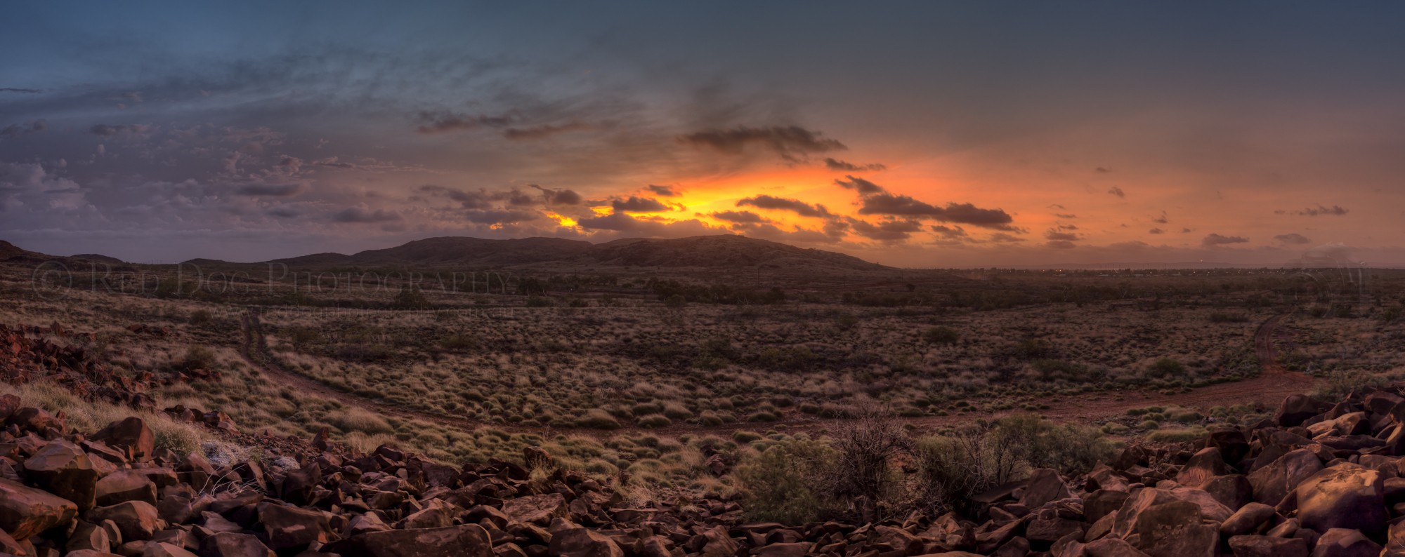
Dawn in Karratha
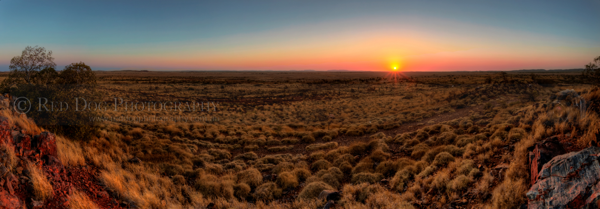
Summer Pano
Ancient Aboriginal rock art
Pilbara panorama
Dampier #2
Ancient Aboriginal rock art
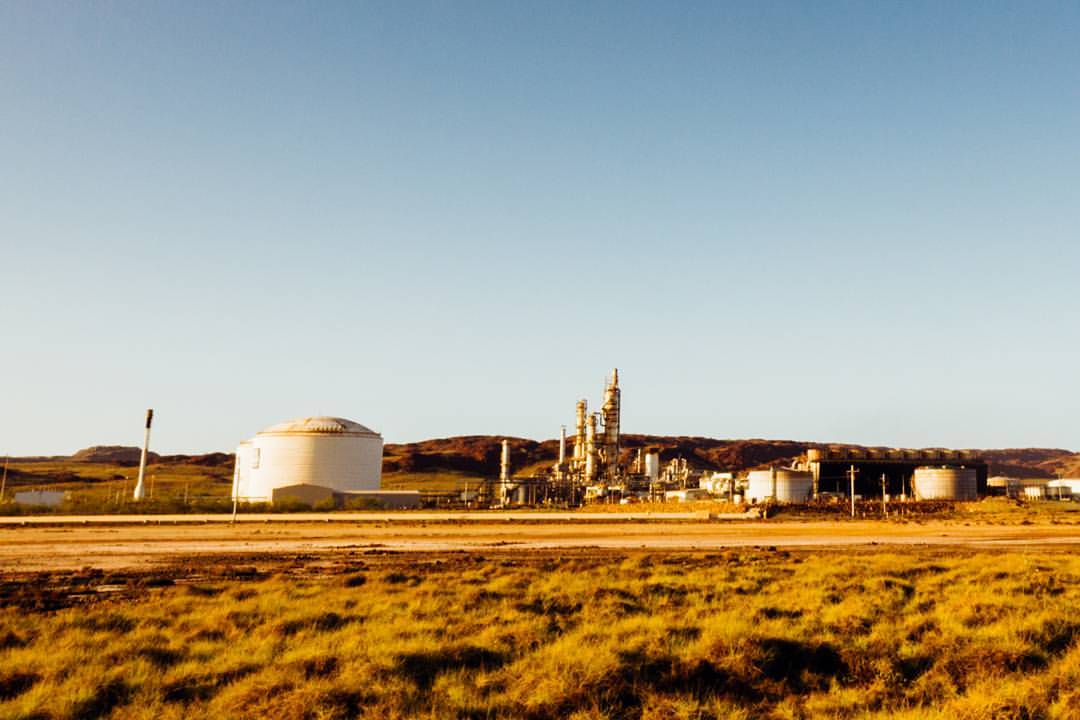
Mining their own business, their business being natural gas (I think). . . Made with my #fujixe1 and #vscofilm. . #dampierpeninsula #Karratha #Pilbara #westernaustralia #australia #seeaustralia #thisiswa #westisbest #exploreaustralia #australiagram #minin
Another Sunset Pano (HDR)
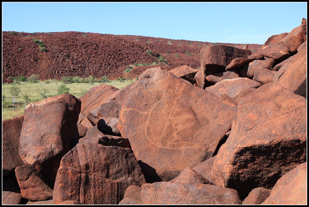
Ancient Aboriginal rock art

Pilbara Sunset
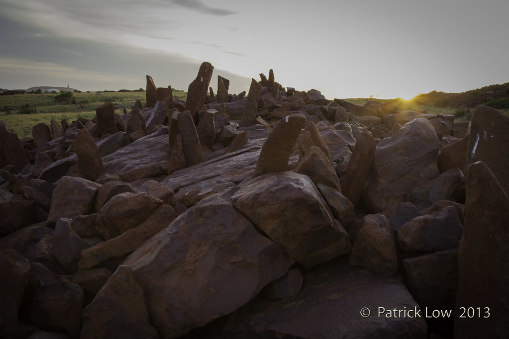
Burrup Standing Stones 2

P1090897.JPG

P1090901.JPG
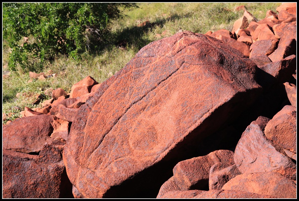
Ancient Aboriginal rock art
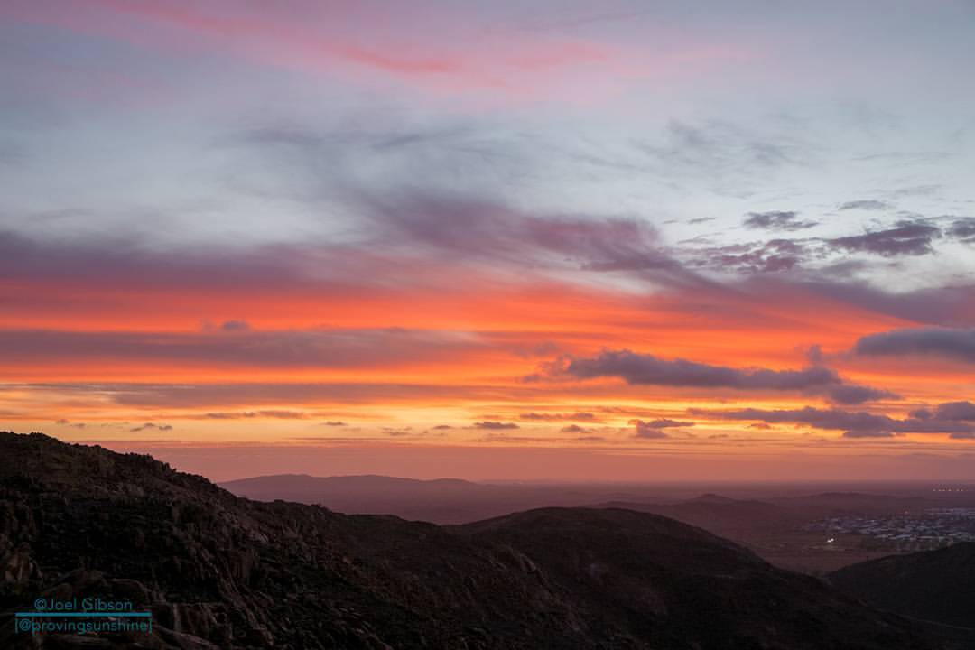
This is the sunset that was happening as I took a timelapse with the #canon. Wanna find out how to take timelapses with your DSLR? Then check out my latest blog post (link in bio). . Also, hope you don't mind shots of the sunset: there's plenty more where

P1090893.JPG
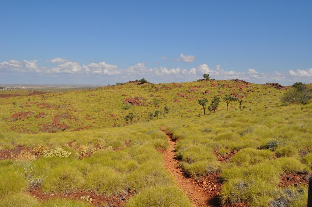
1bright spinifex trailsm
Topographic Map of Pegs Creek WA, Australia
Find elevation by address:

Places near Pegs Creek WA, Australia:
Recent Searches:
- Elevation of Corso Fratelli Cairoli, 35, Macerata MC, Italy
- Elevation of Tallevast Rd, Sarasota, FL, USA
- Elevation of 4th St E, Sonoma, CA, USA
- Elevation of Black Hollow Rd, Pennsdale, PA, USA
- Elevation of Oakland Ave, Williamsport, PA, USA
- Elevation of Pedrógão Grande, Portugal
- Elevation of Klee Dr, Martinsburg, WV, USA
- Elevation of Via Roma, Pieranica CR, Italy
- Elevation of Tavkvetili Mountain, Georgia
- Elevation of Hartfords Bluff Cir, Mt Pleasant, SC, USA