Elevation of Shinjo, Yamagata Prefecture, Japan
Location: Japan > Yamagata Prefecture >
Longitude: 140.301608
Latitude: 38.7650154
Elevation: 103m / 338feet
Barometric Pressure: 100KPa
Elevation Map:
Satellite Map:
Related Photos:

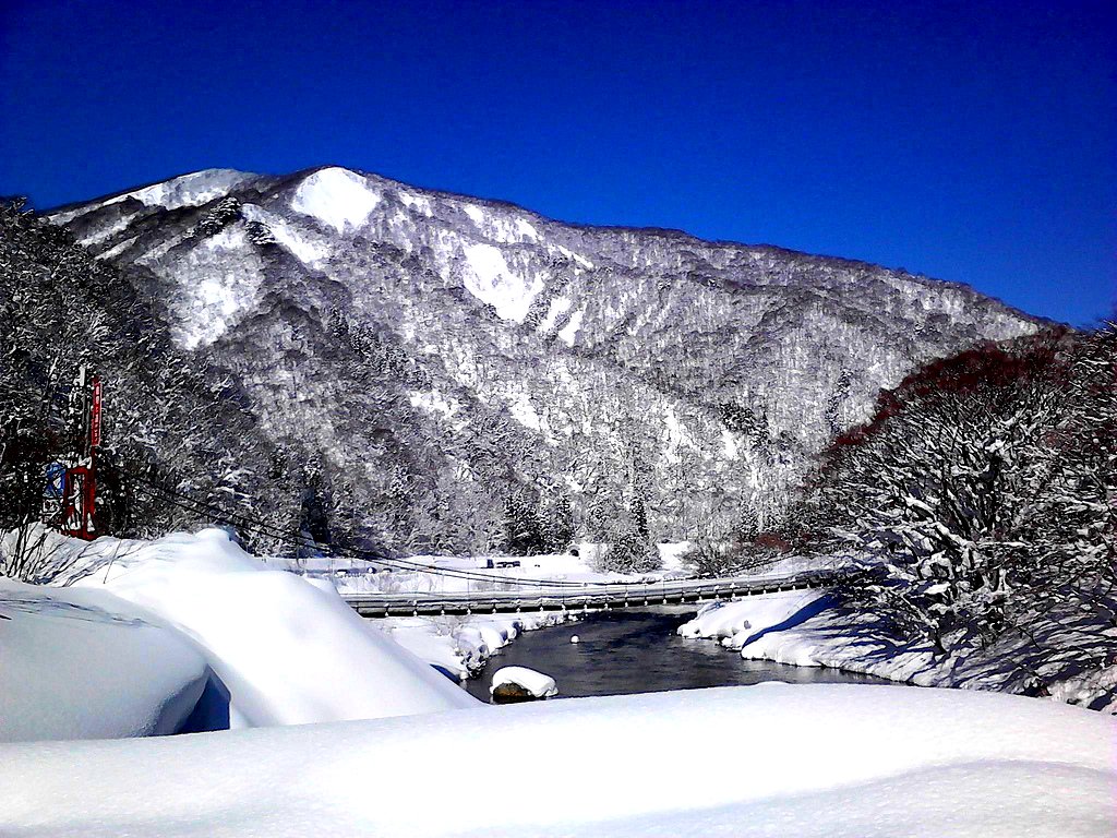
新庄の宿にチェックイン。明日は気合を入れて移動しないと、青森までたどり着かないかも…

_1010920 lawson
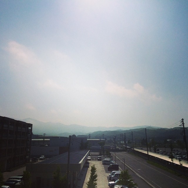
おはようございます。今日もいい天気、暑くなりそうです。
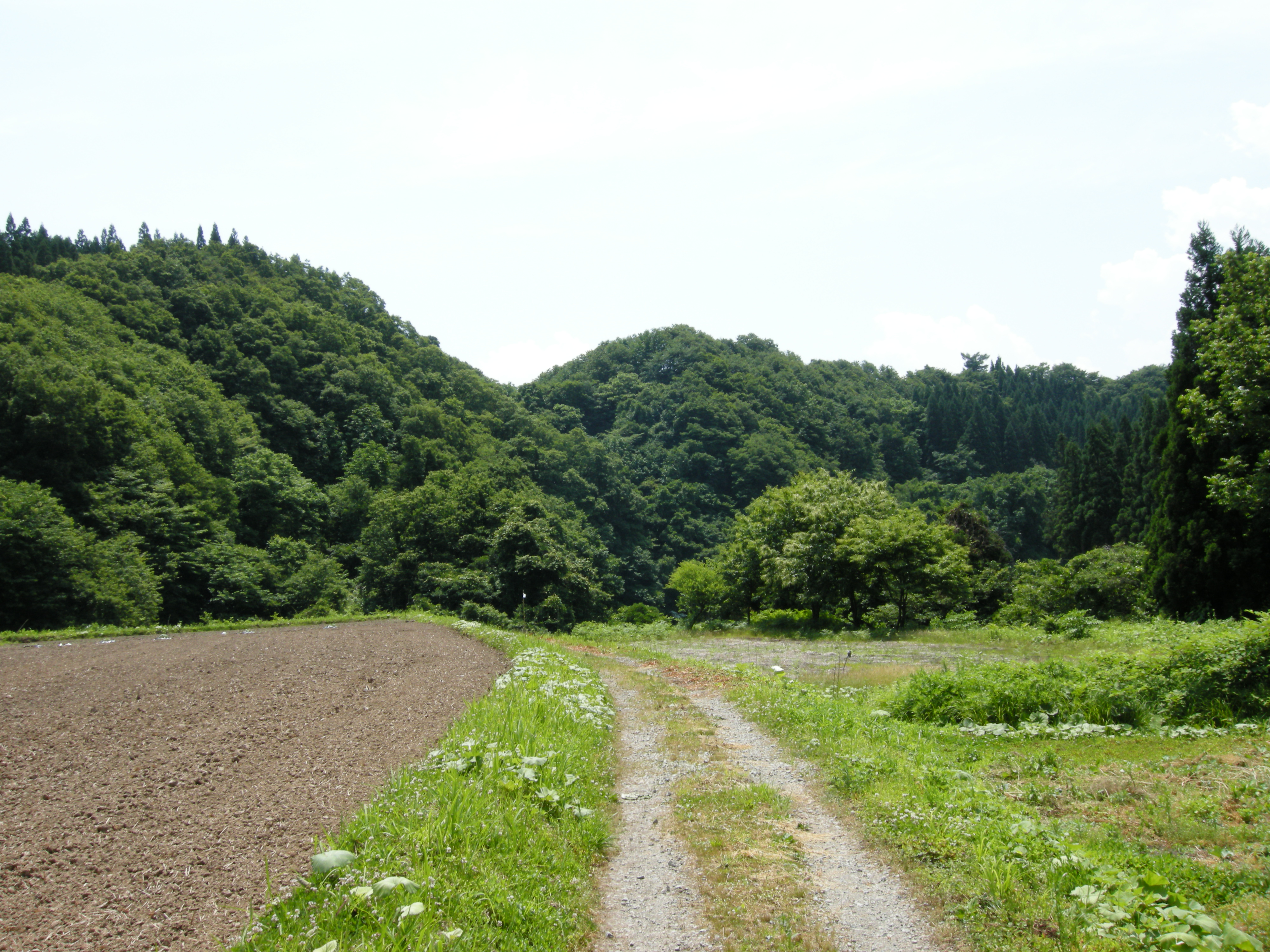
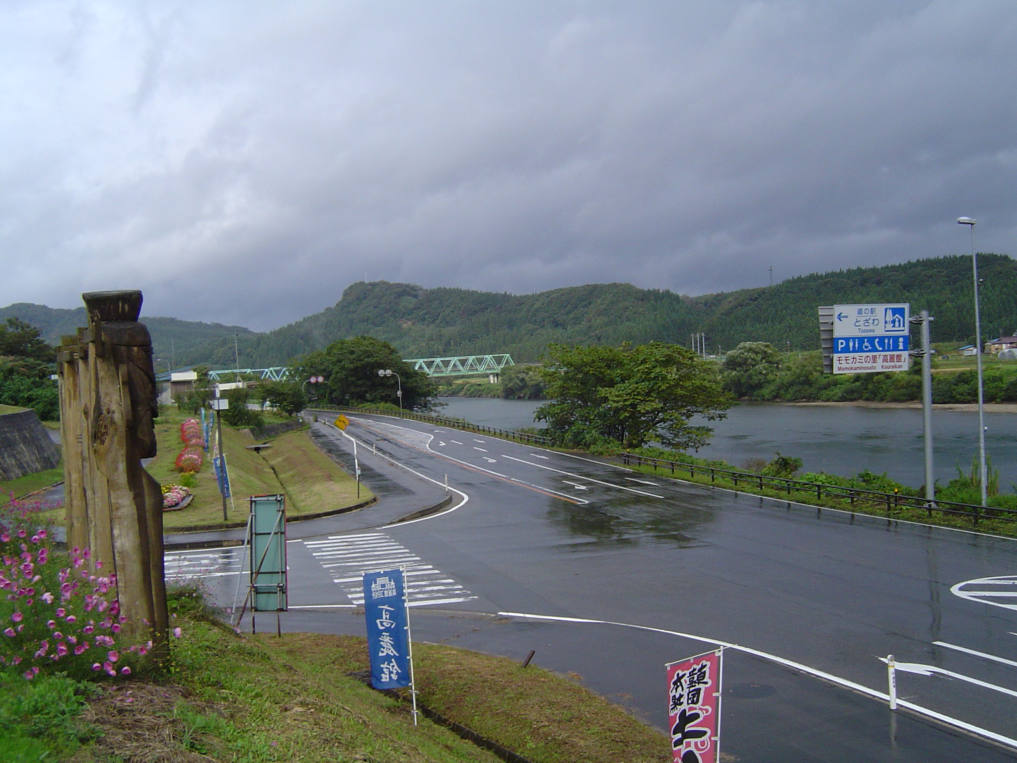
Country Roads
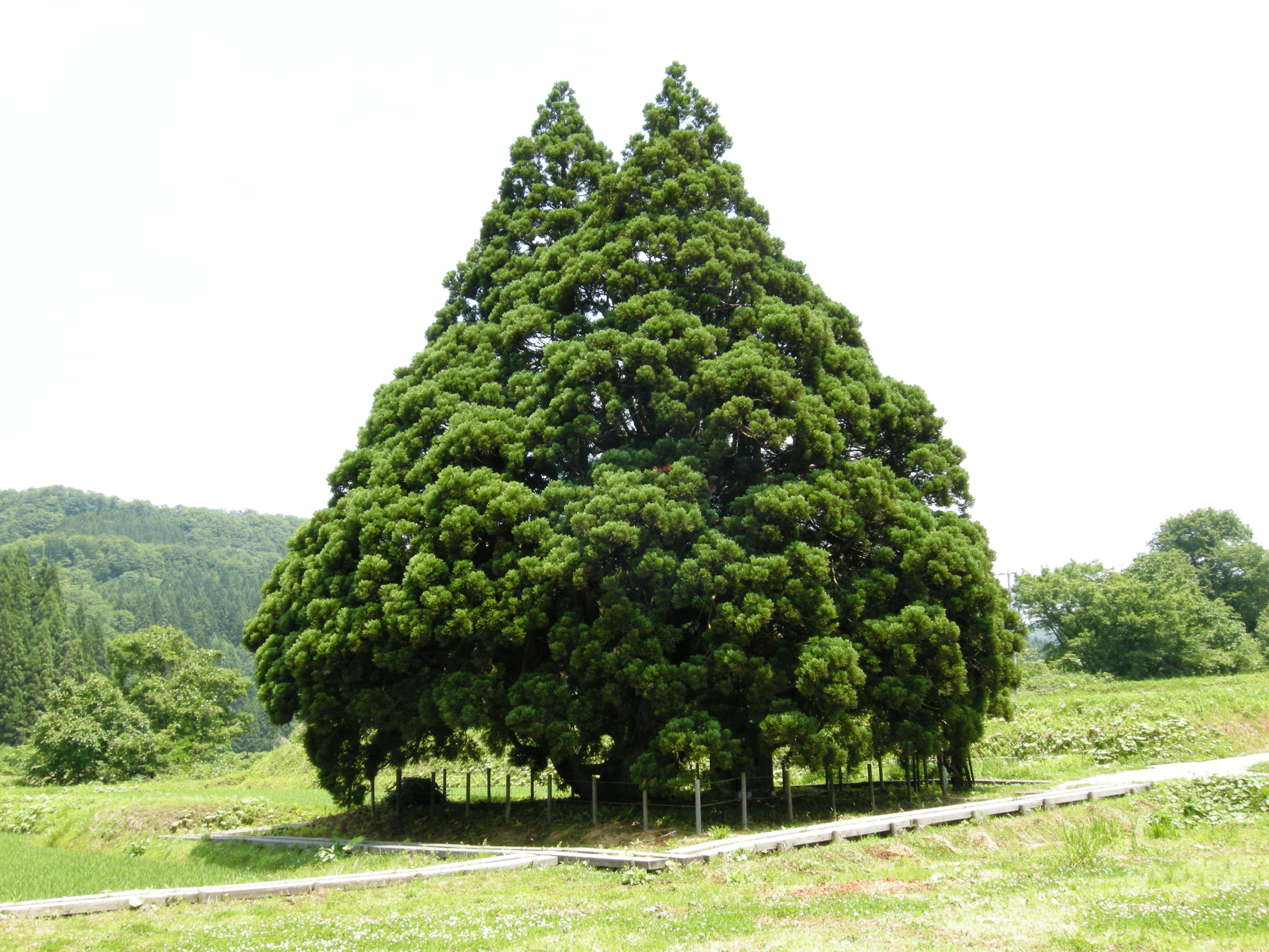
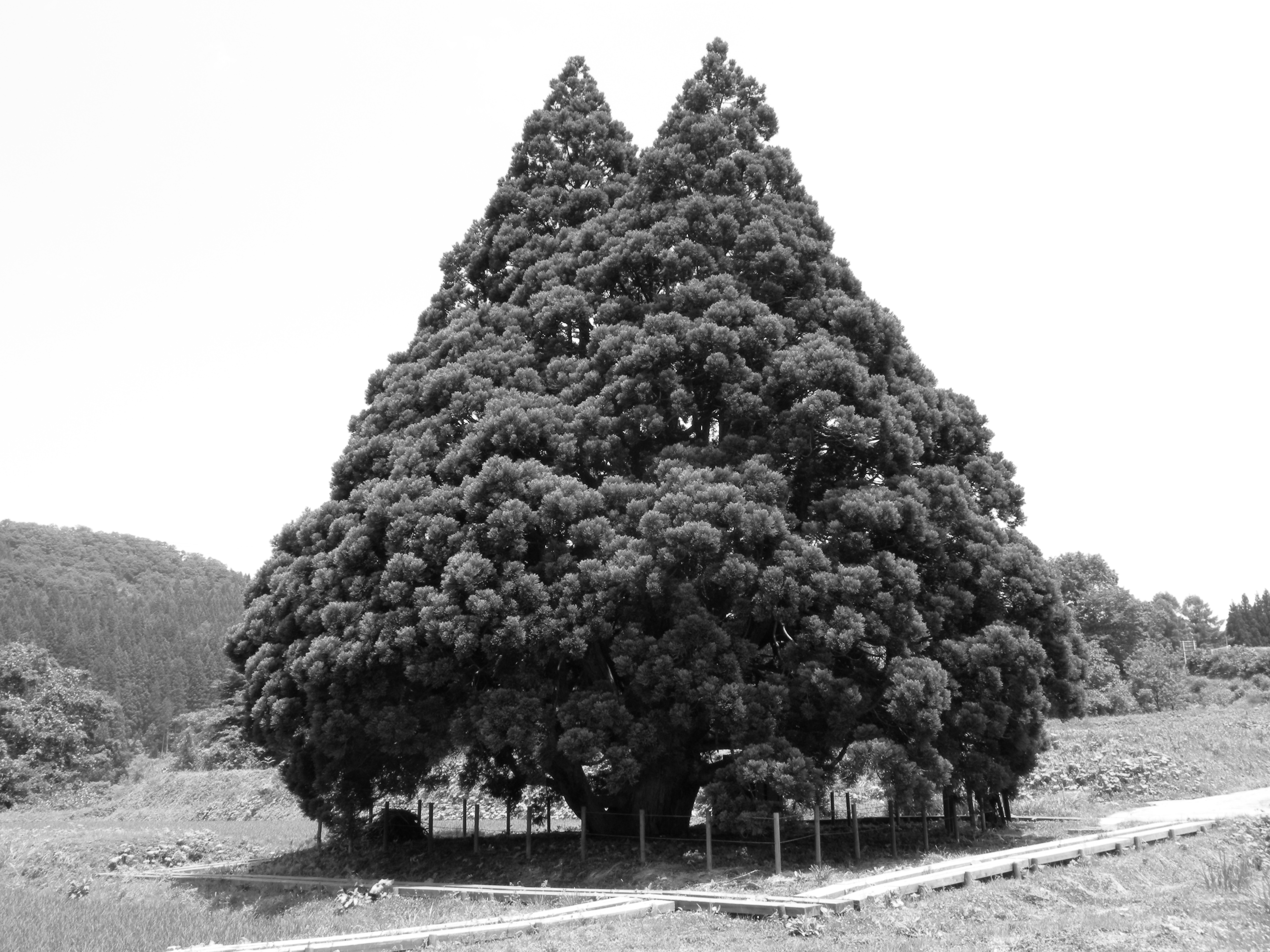
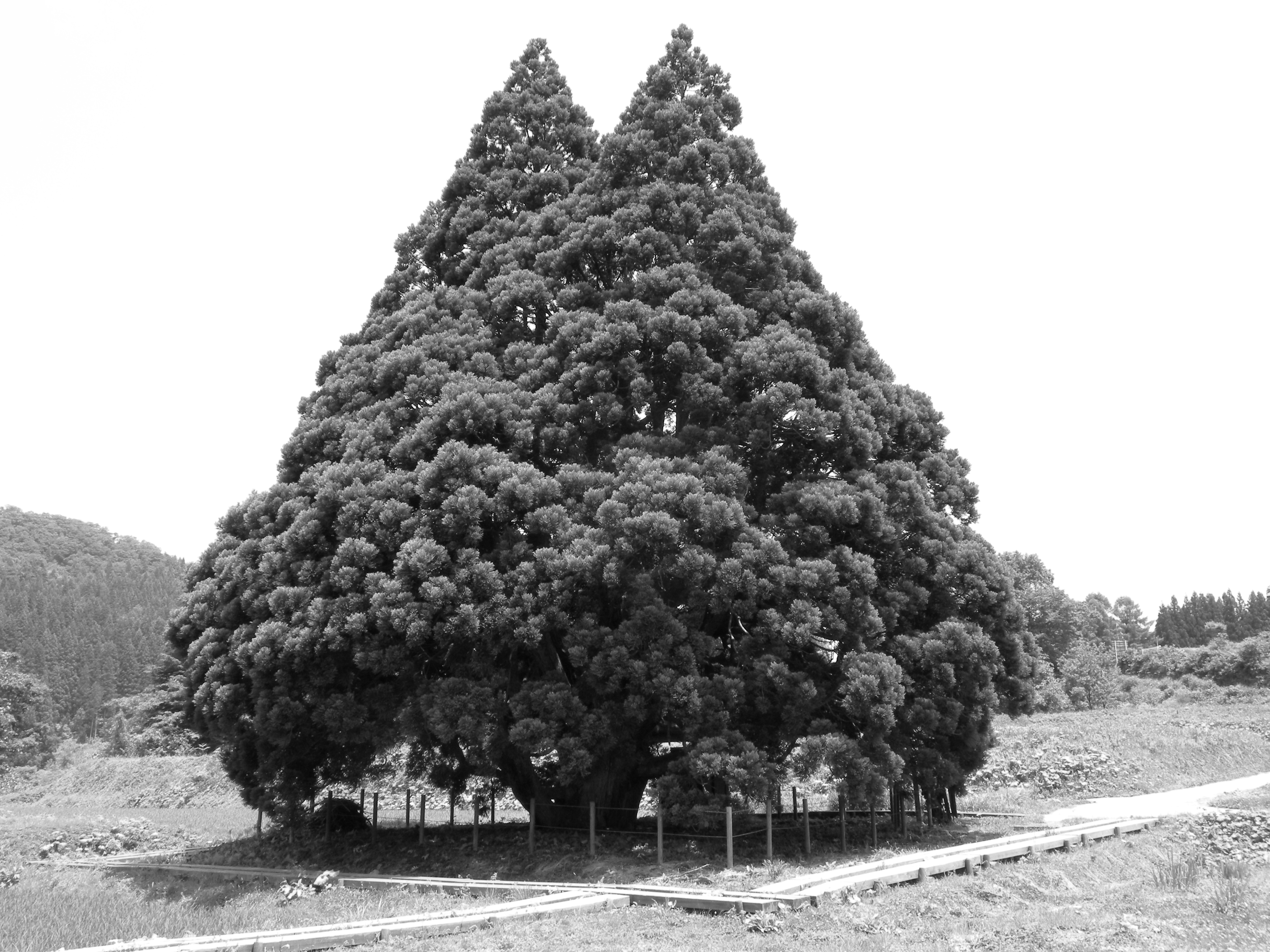
Tree of Totoro
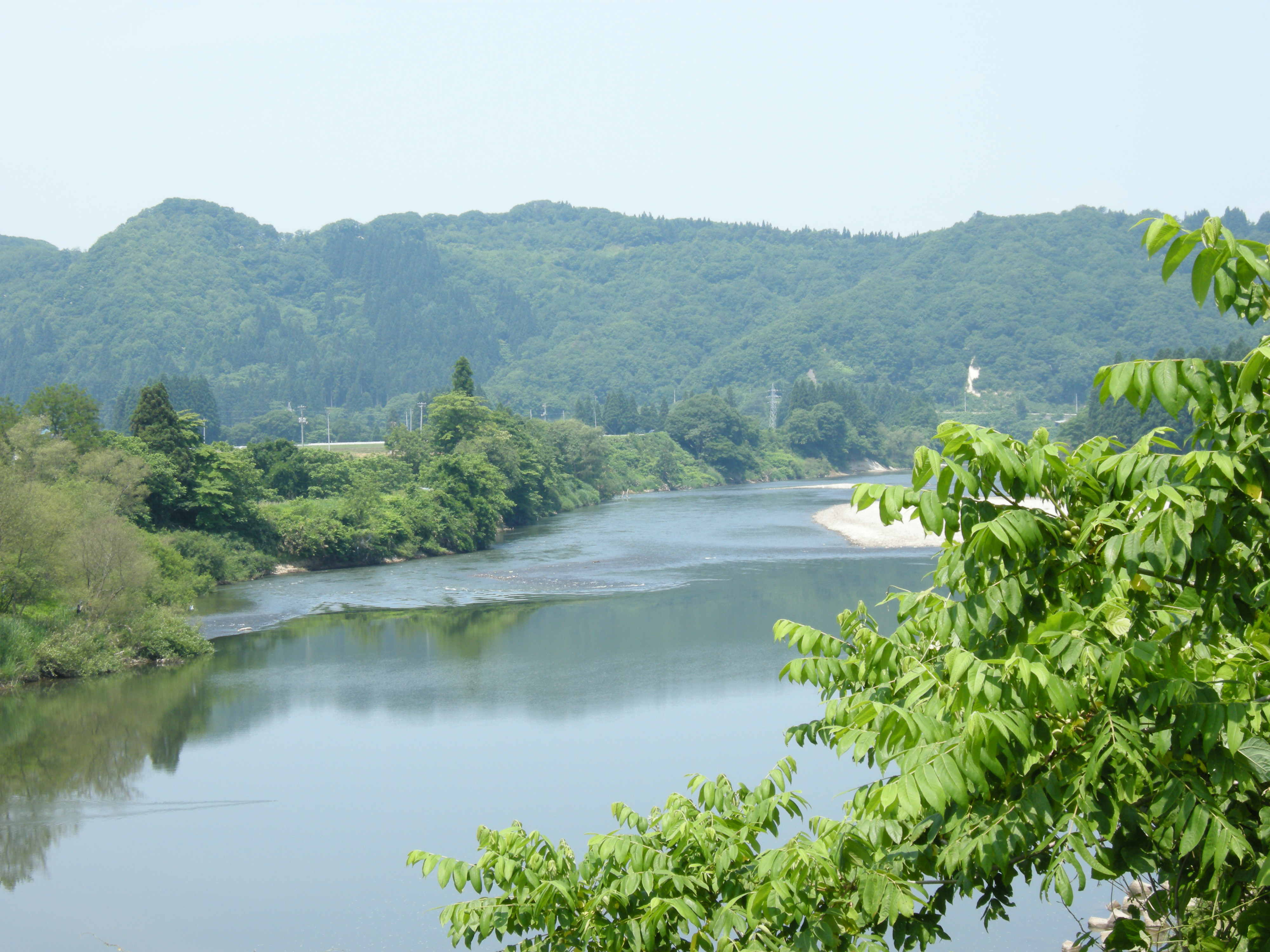
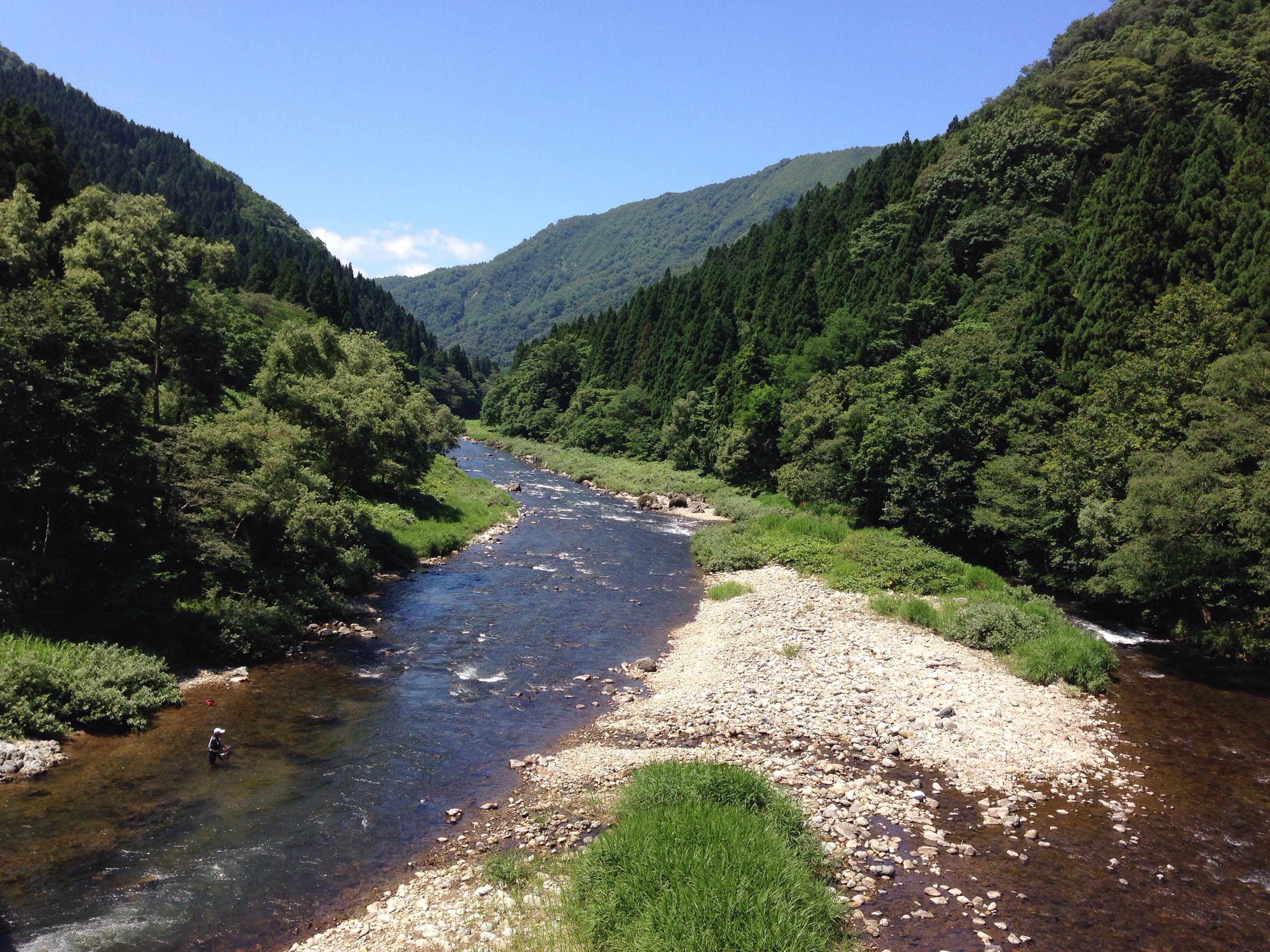
Mogami river
Whiter Shade
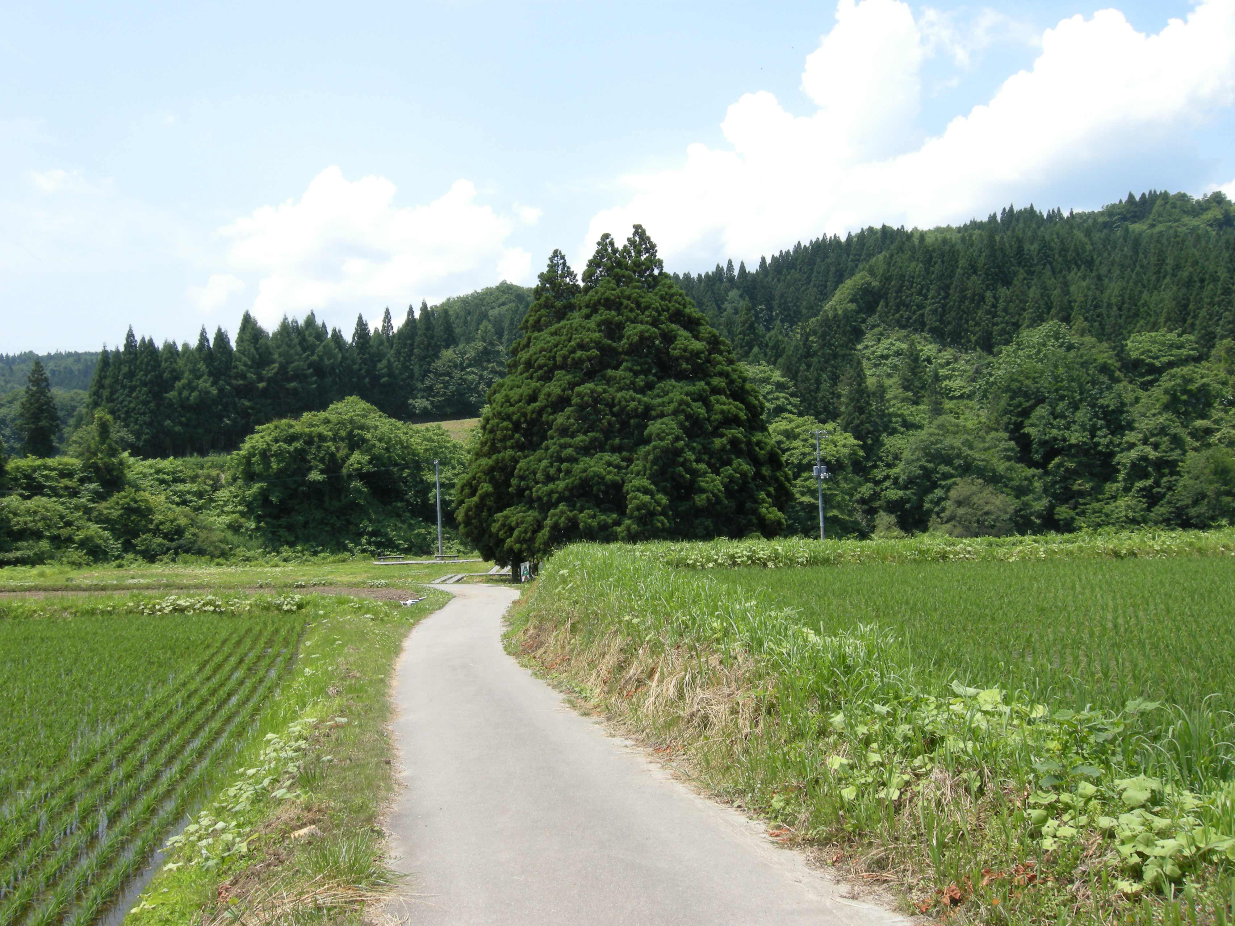
Country Roads
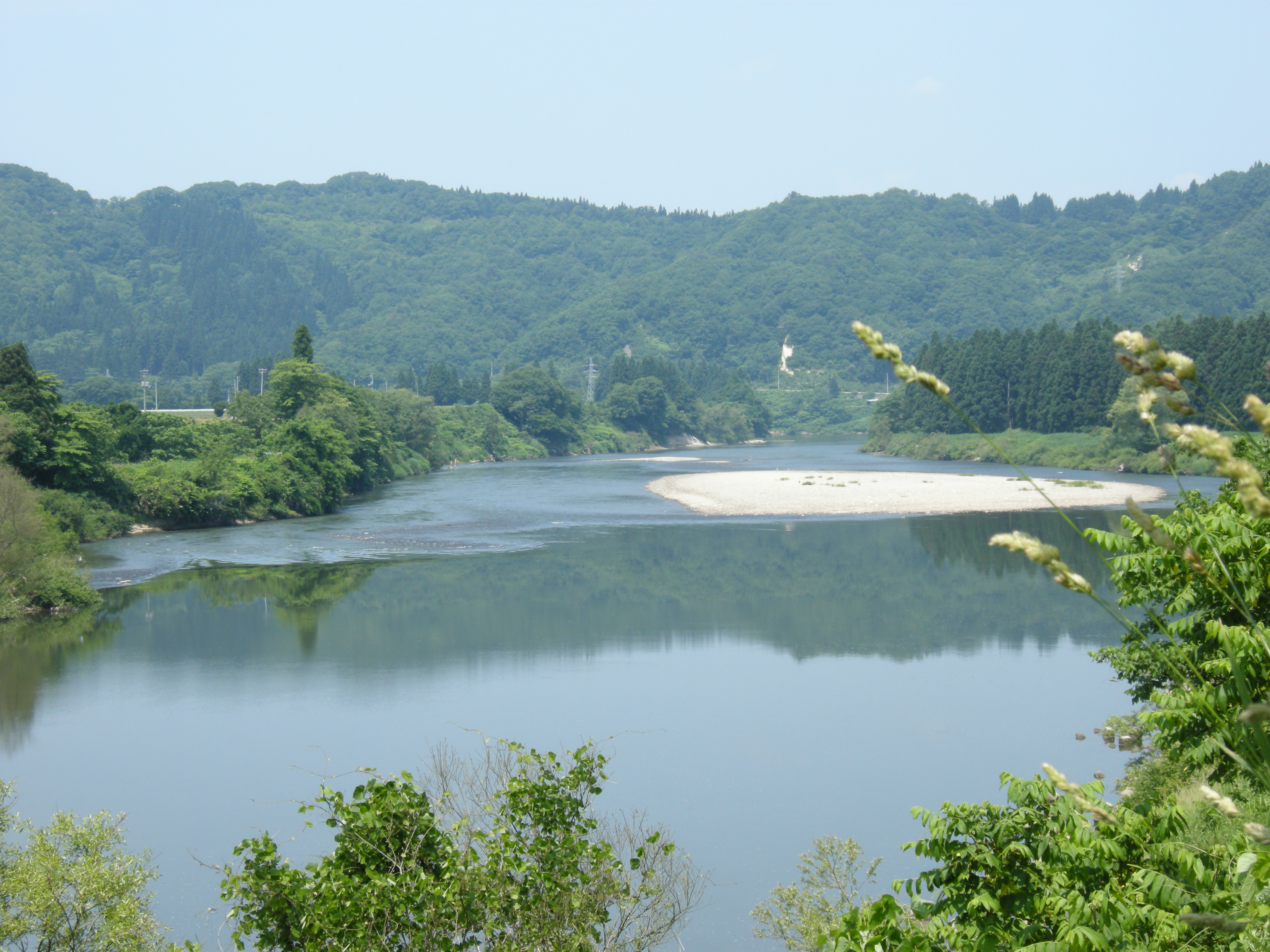
最上川
Mogami river
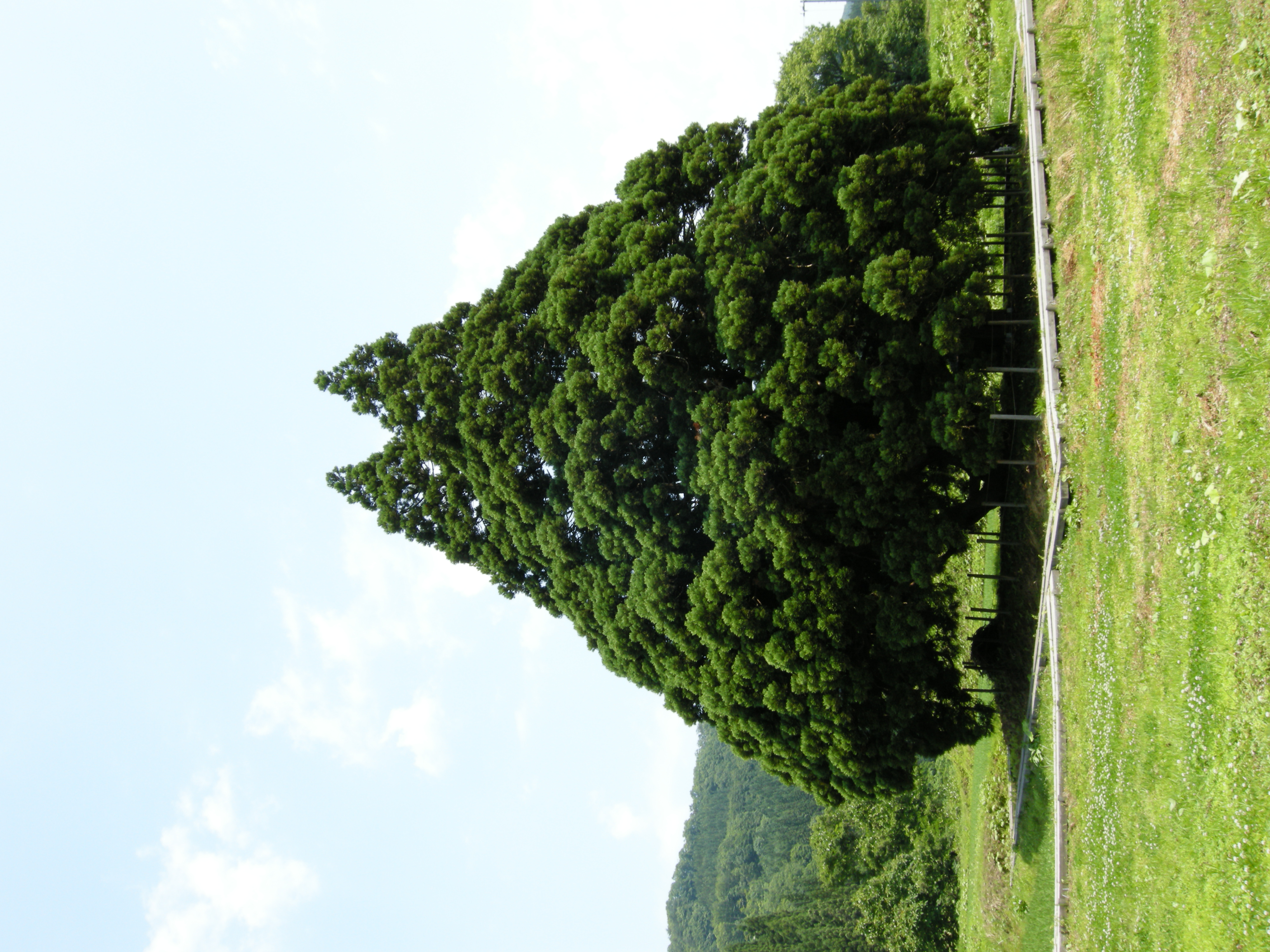
Tree of Totoro
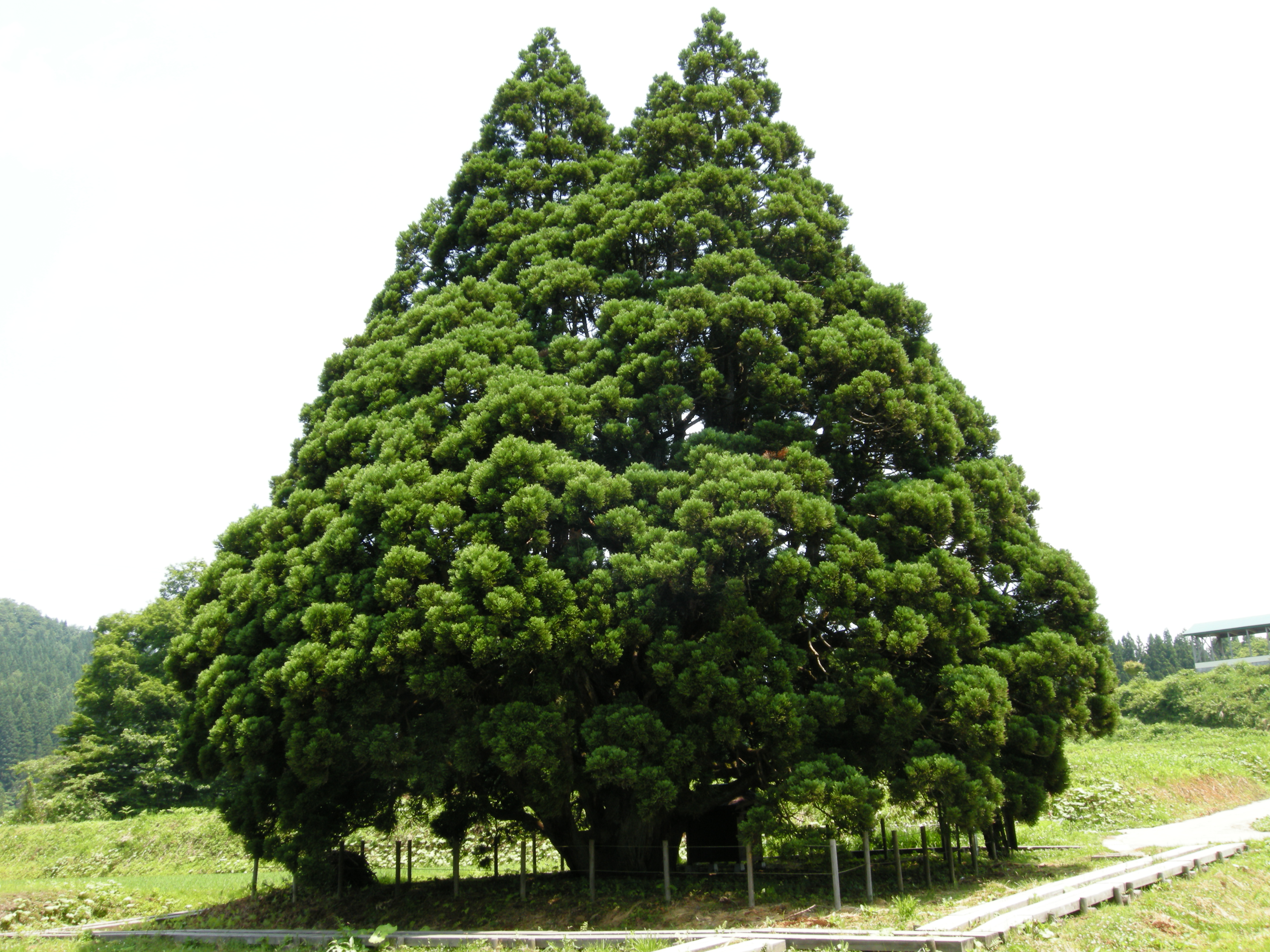
Tree of Totoro
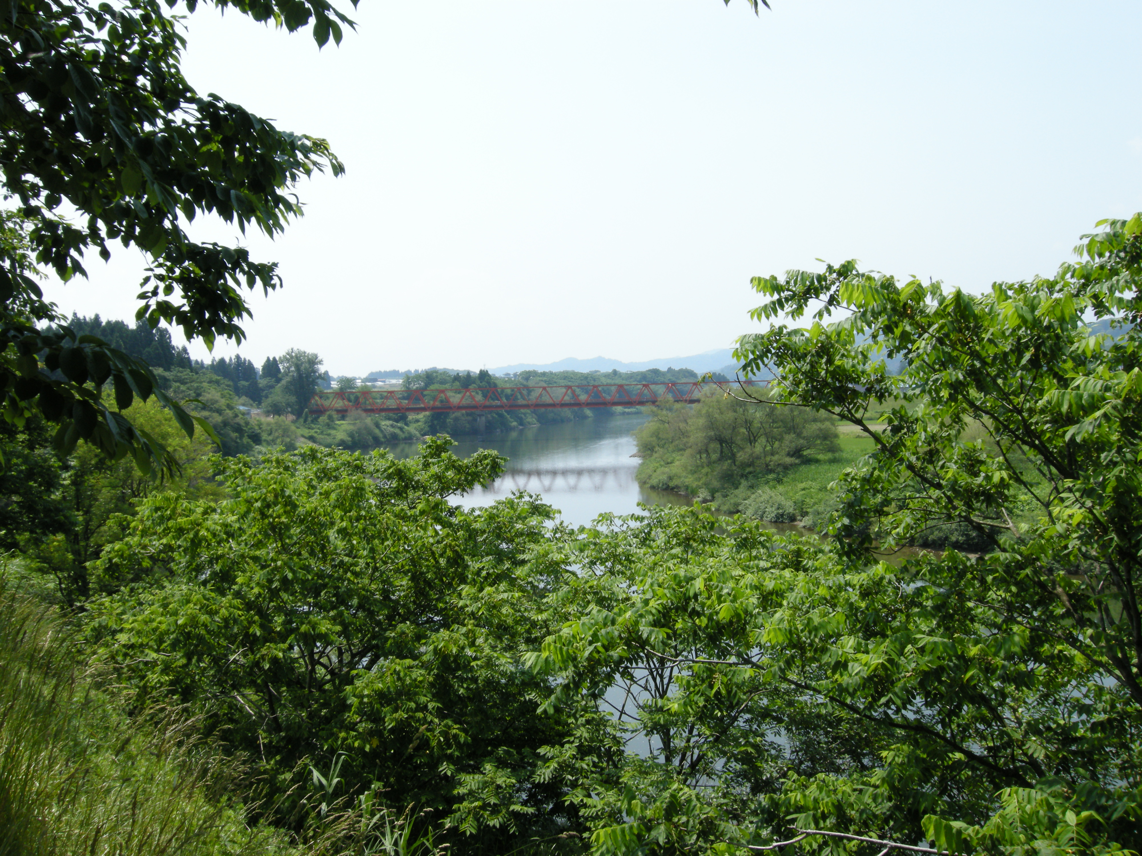
Mogami river
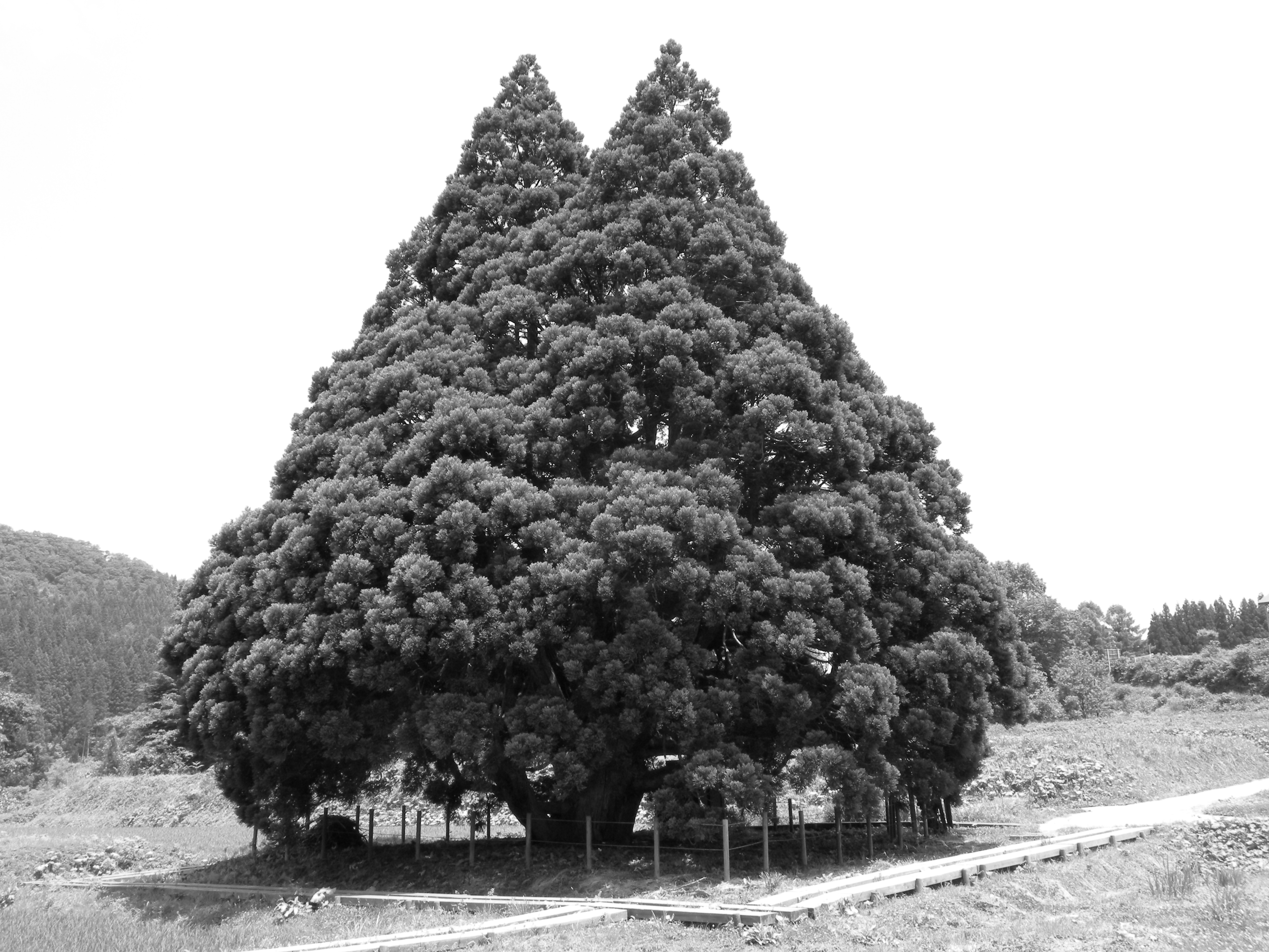
B&W Test (Orange)
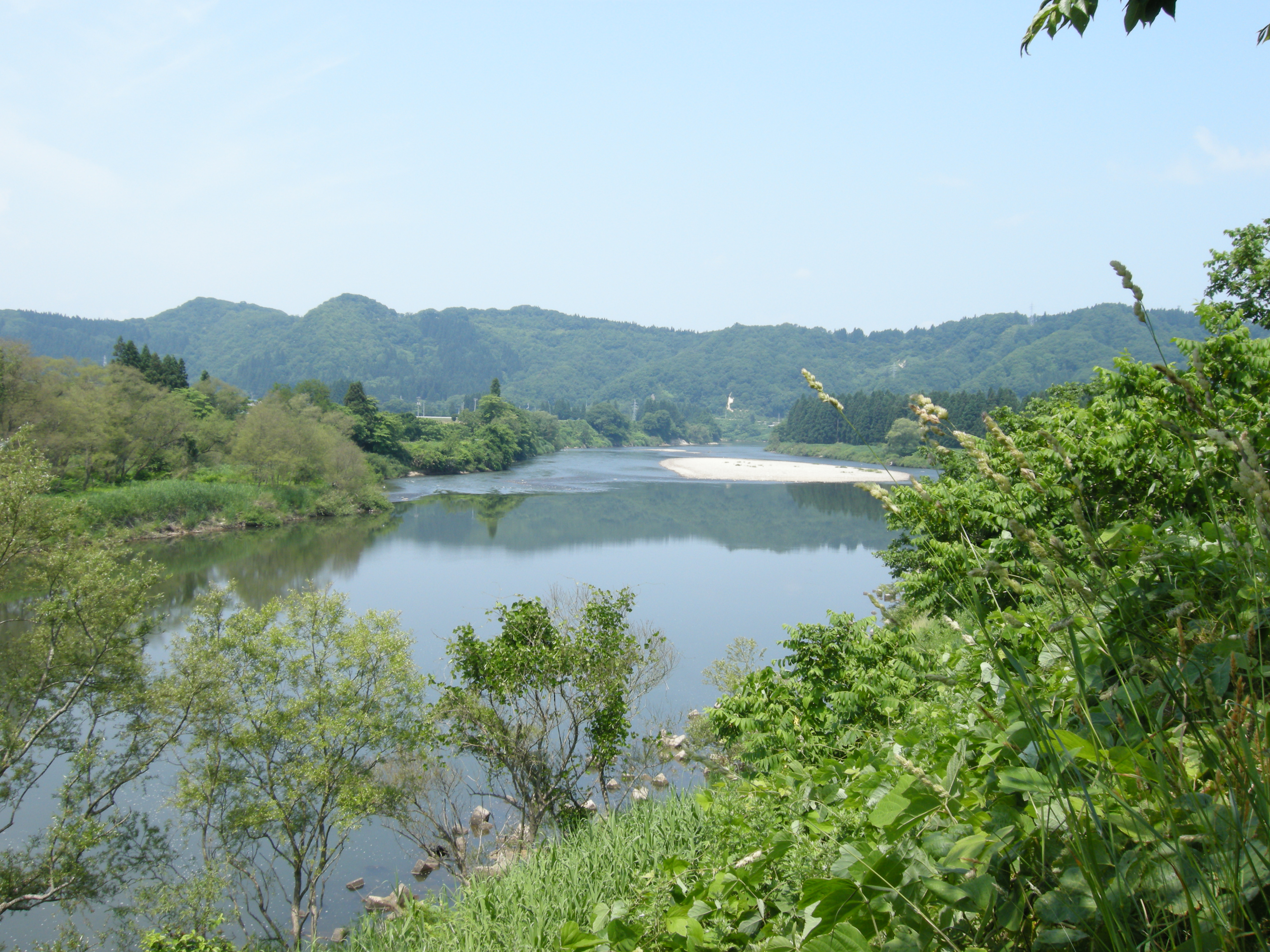
Mogami river
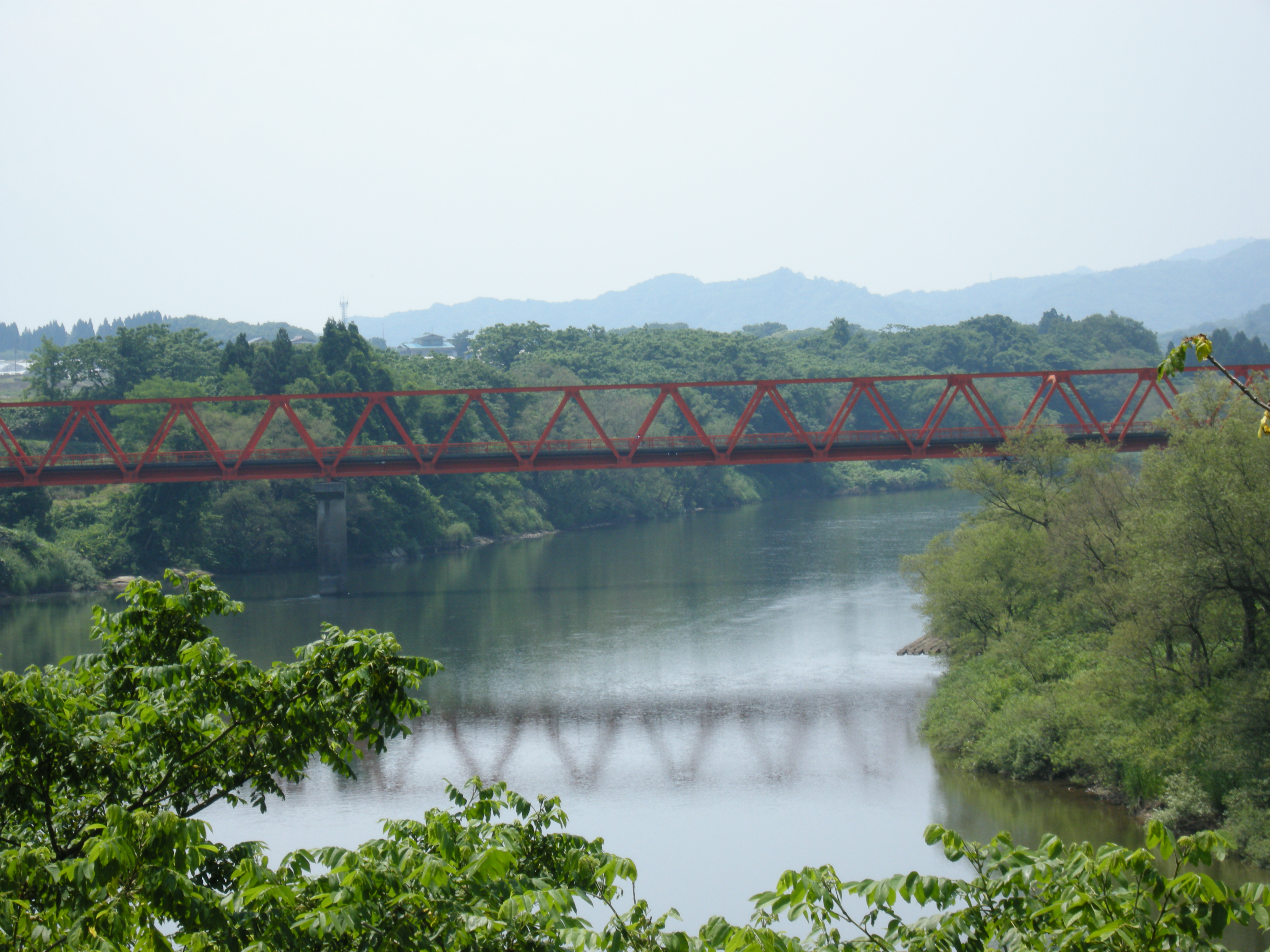
Mogami river
B&W Test (none)
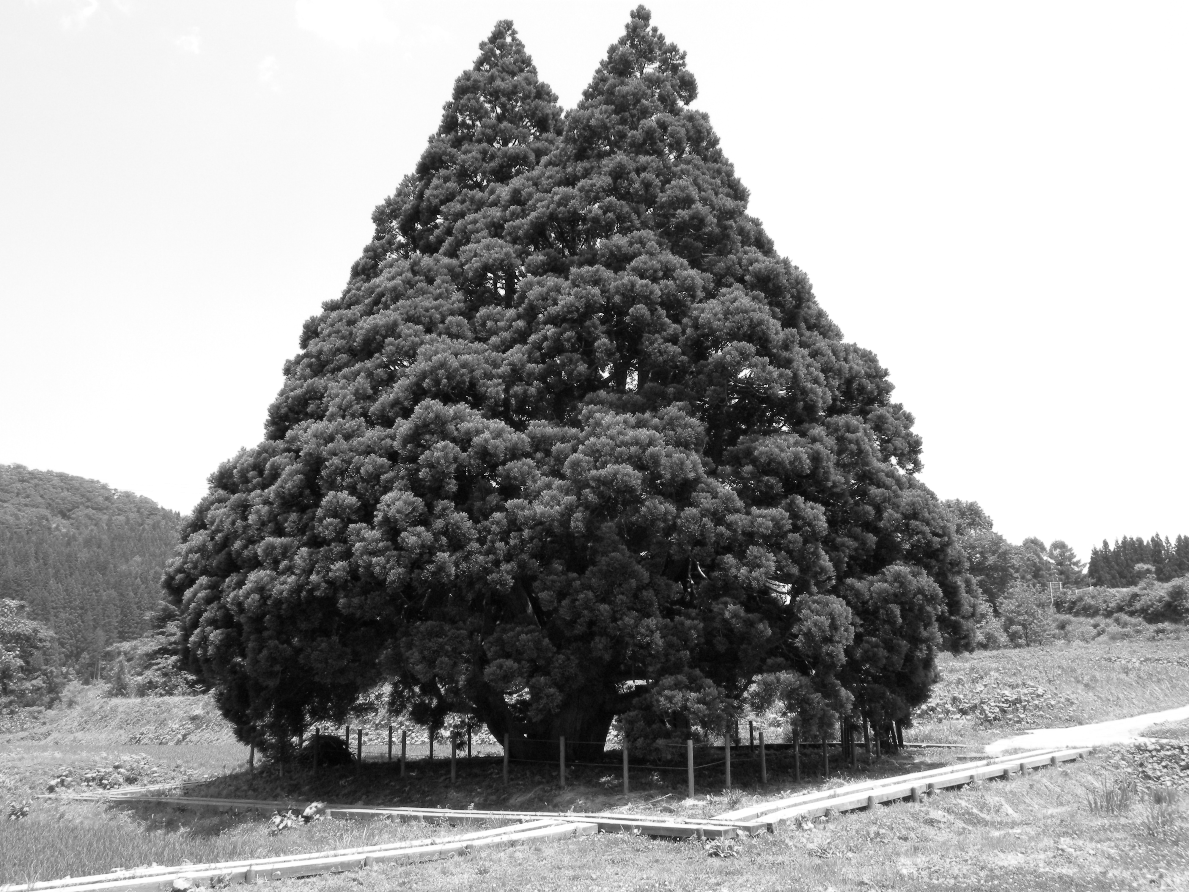
B&W Test (Red)
B&W Test (Green)
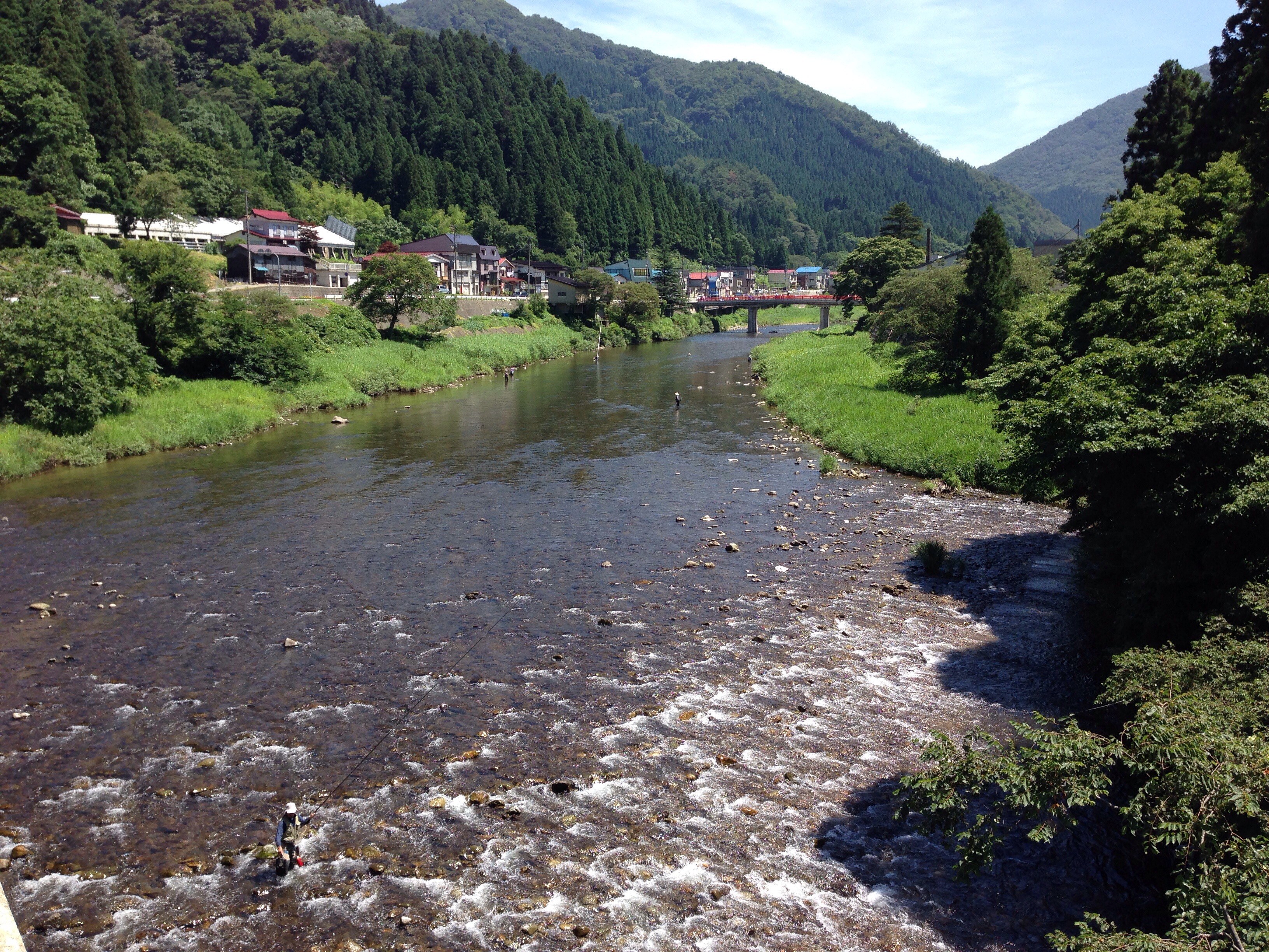
最上川
Mogami River
Topographic Map of Shinjo, Yamagata Prefecture, Japan
Find elevation by address:

Places in Shinjo, Yamagata Prefecture, Japan:
Places near Shinjo, Yamagata Prefecture, Japan:
94-19 Funagata, Funagata-machi, Mogami-gun, Yamagata-ken -, Japan
Funagata
Kyōzuka, Sakegawa-mura, Mogami-gun, Yamagata-ken -, Japan
Sakegawa
Sado, Sakegawa-mura, Mogami-gun, Yamagata-ken -, Japan
Mamurogawa
Akamatsu, Ōkura-mura, Mogami-gun, Yamagata-ken -, Japan
-24 Nadaka, Tozawa-mura, Mogami-gun, Yamagata-ken -, Japan
Terauchi, Obanazawa-shi, Yamagata-ken -, Japan
Tozawa
Kitamurayama District
Mogami District
Minamiyama, Ōkura-mura, Mogami-gun, Yamagata-ken -, Japan
Ōsawa, Mamurogawa-machi, Mogami-gun, Yamagata-ken -, Japan
Oishida
Obanazawa
Yokoyama, Ōishida-machi, Kitamurayama-gun, Yamagata-ken -, Japan
Obanazawa, Obanazawa-shi, Yamagata-ken -, Japan
Otaki
Tazawa, Ōishida-machi, Kitamurayama-gun, Yamagata-ken -, Japan
Recent Searches:
- Elevation of Corso Fratelli Cairoli, 35, Macerata MC, Italy
- Elevation of Tallevast Rd, Sarasota, FL, USA
- Elevation of 4th St E, Sonoma, CA, USA
- Elevation of Black Hollow Rd, Pennsdale, PA, USA
- Elevation of Oakland Ave, Williamsport, PA, USA
- Elevation of Pedrógão Grande, Portugal
- Elevation of Klee Dr, Martinsburg, WV, USA
- Elevation of Via Roma, Pieranica CR, Italy
- Elevation of Tavkvetili Mountain, Georgia
- Elevation of Hartfords Bluff Cir, Mt Pleasant, SC, USA