Elevation of Otaki, Mamurogawa, Mogami District, Yamagata Prefecture -, Japan
Location: Japan > Yamagata Prefecture > Mogami District > Mamurogawa >
Longitude: 140.310647
Latitude: 38.9700653
Elevation: 207m / 679feet
Barometric Pressure: 99KPa
Elevation Map:
Satellite Map:
Related Photos:
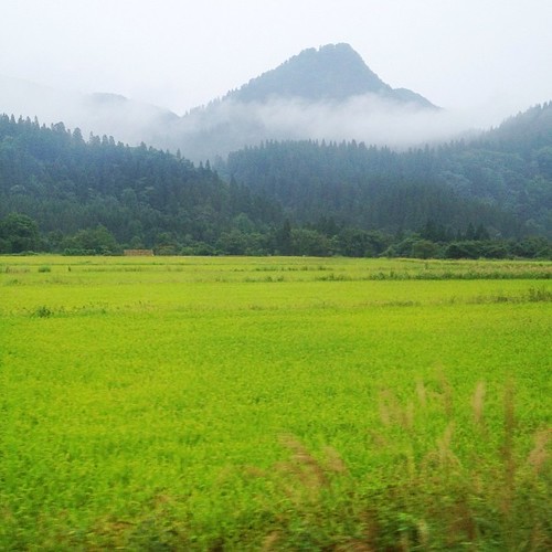
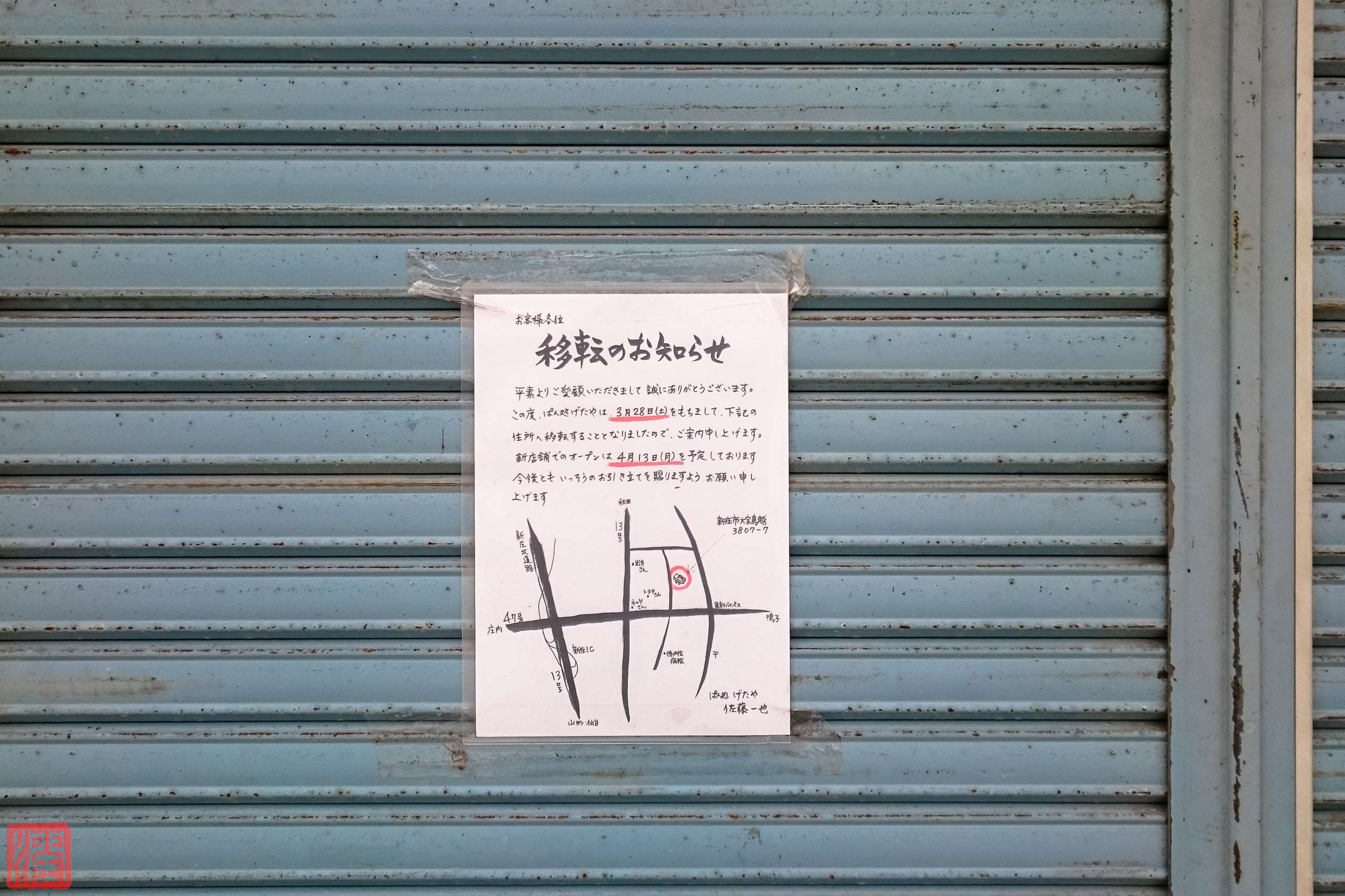
奥羽本線の車窓から
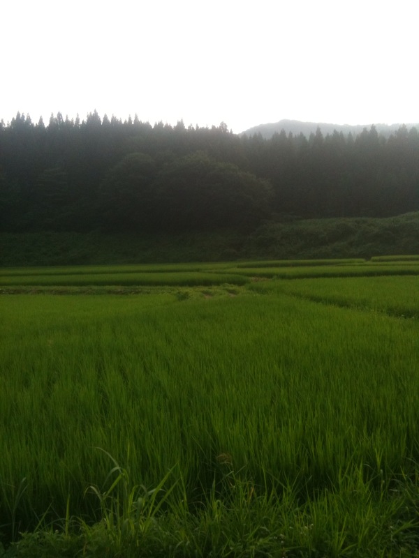
この村ちょーいい!
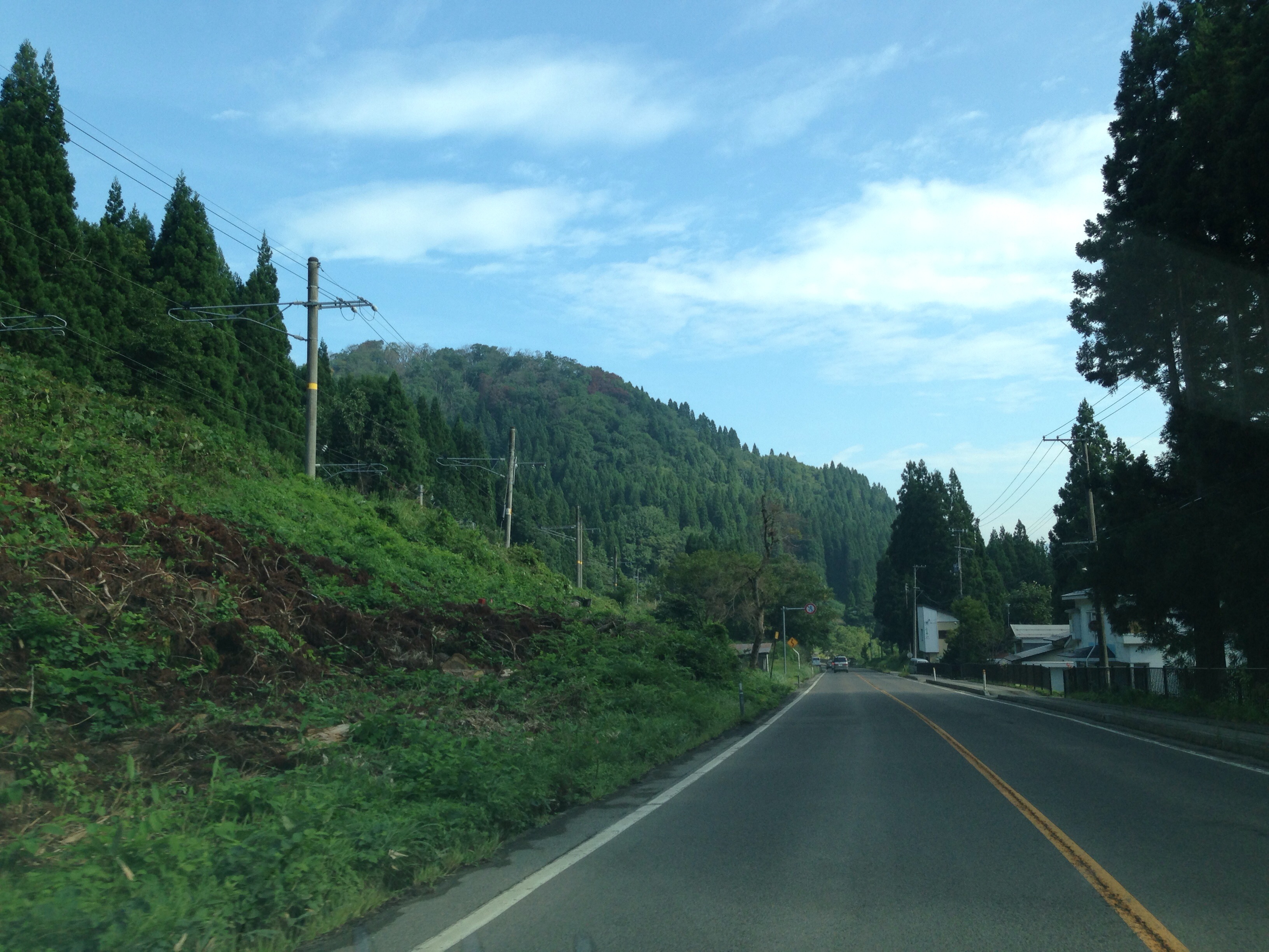
湯沢と新庄の間の雄勝峠。雪も深いこの区間を通る度に、この区間の奥羽本線を複線電化で維持する意味あるんじゃろうか?とついつい考えてしまう…

s-IMGP2445

2014#005
s-DSC_0231-6
s-DSC_0233-7
s-DSC_0234-8
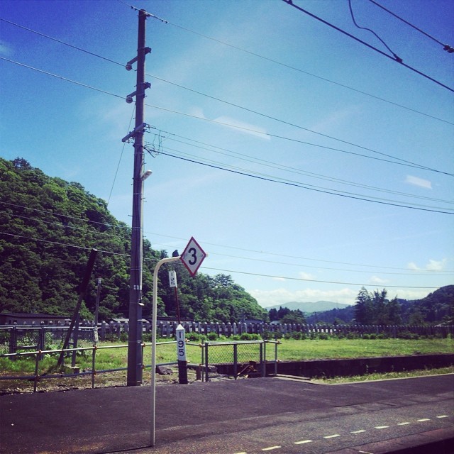
県境あたり。

s-IMGP2420

s-IMGP2423

s-IMGP2441
s-IMGP2450
s-IMGP9860

130802-090330
130802-090747
Fireworks 花火
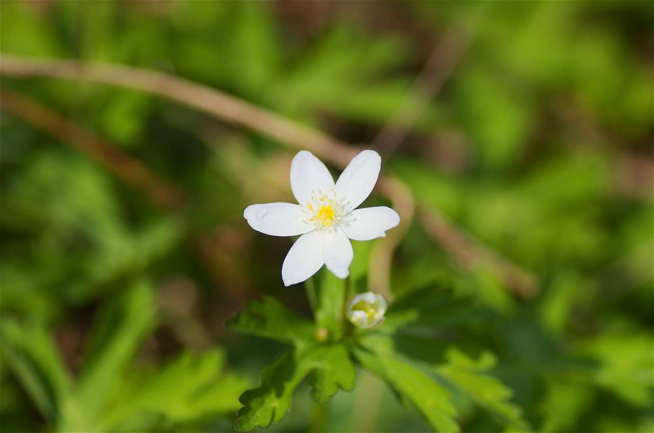
The end of spring
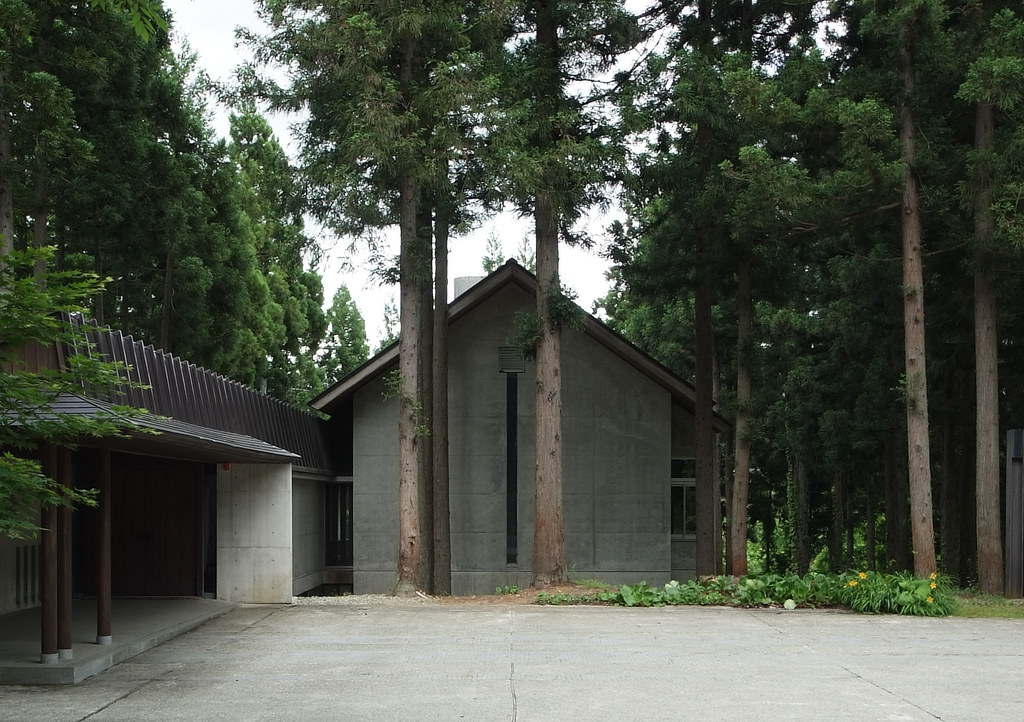
Funeral Hall in Kanayama: Yoshihiro Masuko, Kanayama, Yamagata, 1995
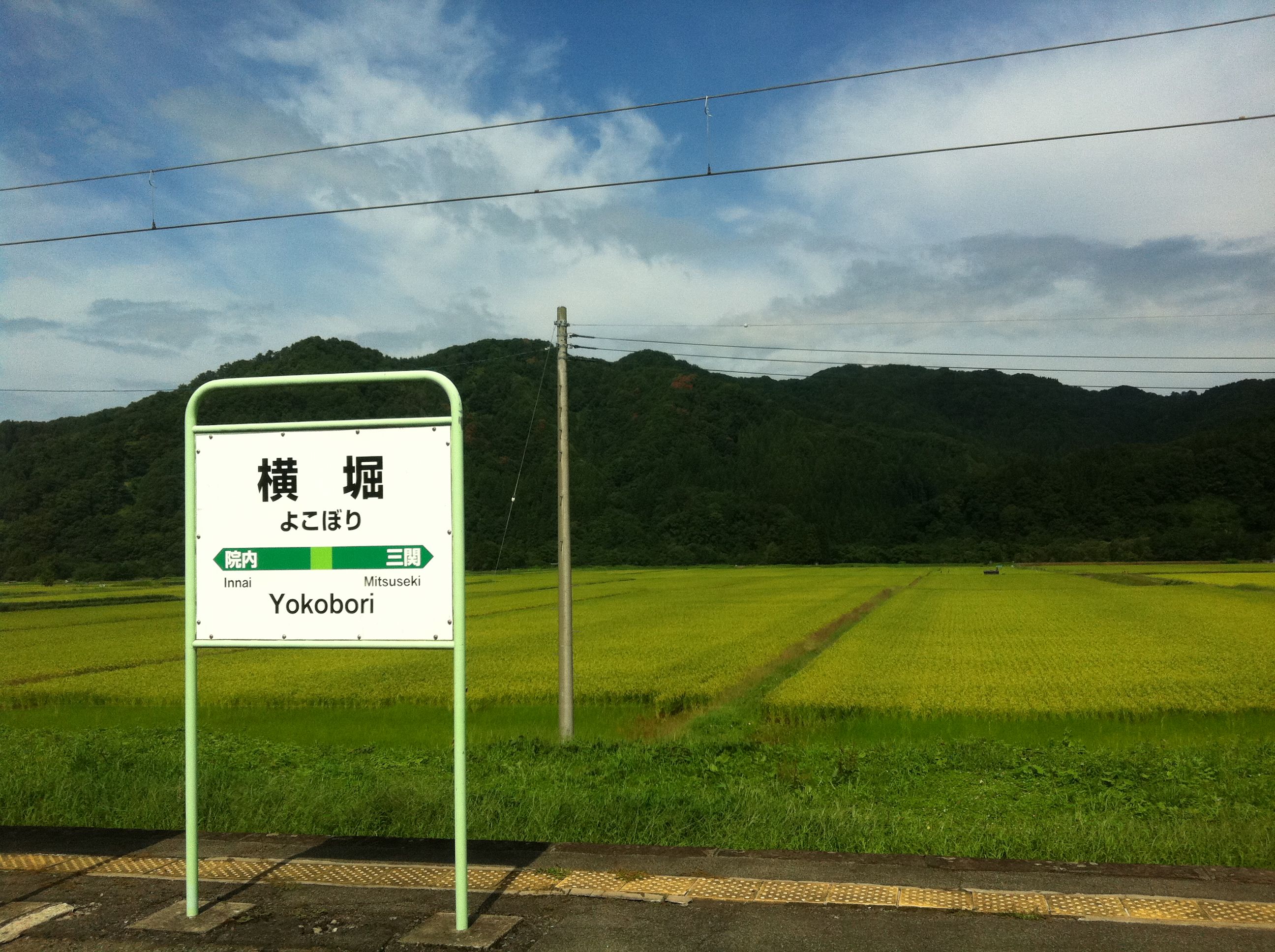
Yokobori Station with rice paddies

ババヘラ #akita #yokobori
Topographic Map of Otaki, Mamurogawa, Mogami District, Yamagata Prefecture -, Japan
Find elevation by address:

Places near Otaki, Mamurogawa, Mogami District, Yamagata Prefecture -, Japan:
Mt. Koshiki
431 Nozoki
431-279 Nozoki
Mogami District
Ōhido-1 Chōkaimachi Kamijinego, Yurihonjō-shi, Akita-ken -, Japan
Tōgenosawa-2 Chōkaimachi Kamijinego, Yurihonjō-shi, Akita-ken -, Japan
Shimizumi-48 Chōkaimachi Kamijinego, Yurihonjō-shi, Akita-ken -, Japan
Hatchōshinmachi-17-40 Kamiinnai, Yuzawa-shi, Akita-ken -, Japan
Hiranosawa-27 Chōkaimachi Kamijinego, Yurihonjō-shi, Akita-ken -, Japan
Ōsawa, Mamurogawa-machi, Mogami-gun, Yamagata-ken -, Japan
Mamurogawa
Hatatai- Chōkaimachi Kamijinego, Yurihonjō-shi, Akita-ken -, Japan
Tozawa- Chōkaimachi Kamijinego, Yurihonjō-shi, Akita-ken -, Japan
Tayōbashi-48 Shimoinnai, Yuzawa-shi, Akita-ken -, Japan
Kiyanjikizura-1 Chōkaimachi Kamijinego, Yurihonjō-shi, Akita-ken -, Japan
Shimonomiya-8 Chōkaimachi Kamijinego, Yurihonjō-shi, Akita-ken -, Japan
Baba- Chōkaimachi Kamijinego, Yurihonjō-shi, Akita-ken -, Japan
Nagahatano-78 Chōkaimachi Shimojinego, Yurihonjō-shi, Akita-ken -, Japan
Shinbaba-9 Shimoinnai, Yuzawa-shi, Akita-ken -, Japan
Nishimata- Kamisendō, Ugo-machi, Ogachi-gun, Akita-ken -, Japan
Recent Searches:
- Elevation of Corso Fratelli Cairoli, 35, Macerata MC, Italy
- Elevation of Tallevast Rd, Sarasota, FL, USA
- Elevation of 4th St E, Sonoma, CA, USA
- Elevation of Black Hollow Rd, Pennsdale, PA, USA
- Elevation of Oakland Ave, Williamsport, PA, USA
- Elevation of Pedrógão Grande, Portugal
- Elevation of Klee Dr, Martinsburg, WV, USA
- Elevation of Via Roma, Pieranica CR, Italy
- Elevation of Tavkvetili Mountain, Georgia
- Elevation of Hartfords Bluff Cir, Mt Pleasant, SC, USA