Elevation of Shimotoyomatsu, Jinsekikōgen-chō, Jinseki-gun, Hiroshima-ken -, Japan
Location: Japan > Hiroshima Prefecture > Jinseki District > Jinsekikogen >
Longitude: 133.3379658
Latitude: 34.7751864
Elevation: 487m / 1598feet
Barometric Pressure: 0KPa
Related Photos:
Red leaves, stereo parallel view
Red leaves, stereo cross view

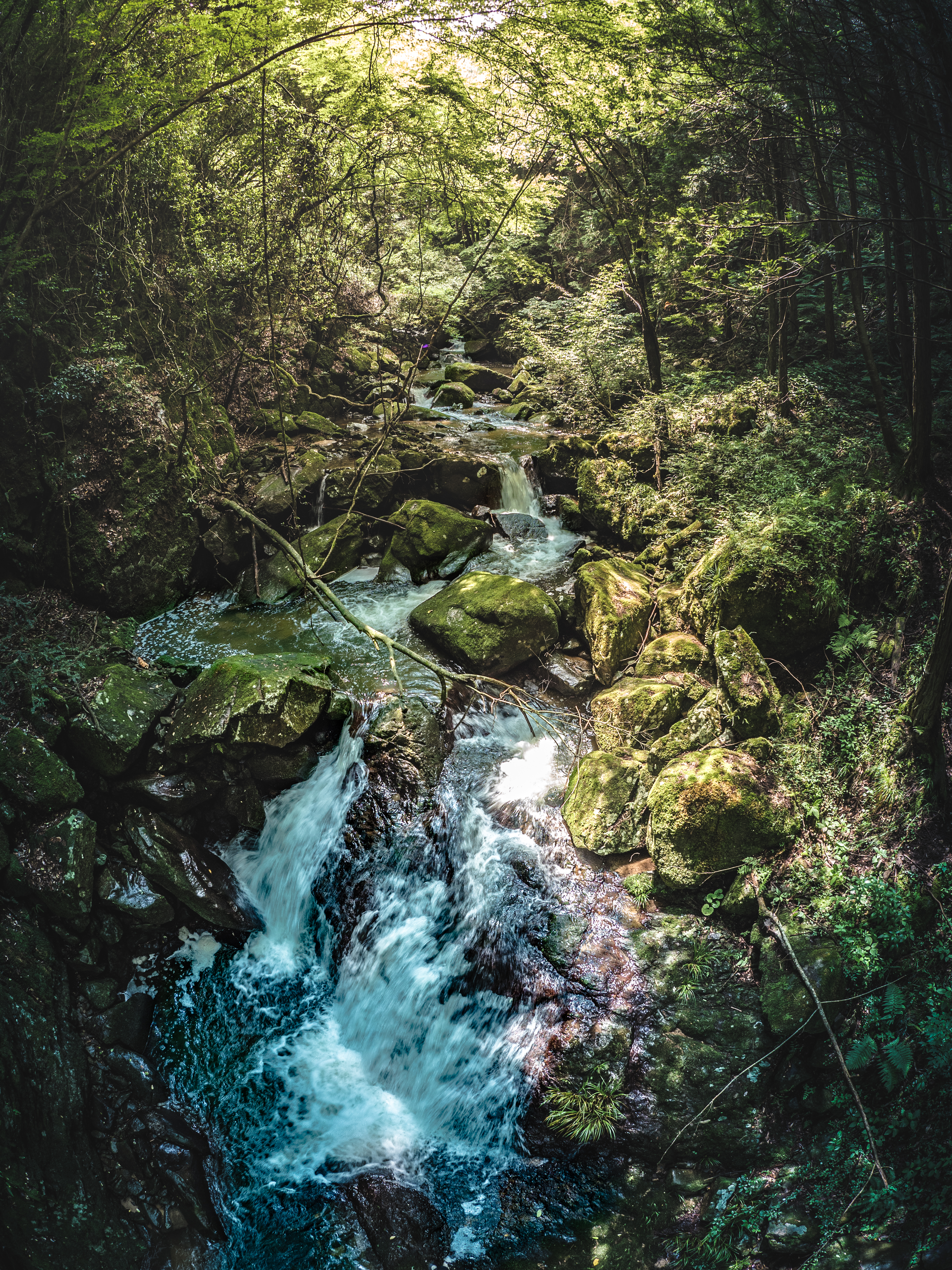
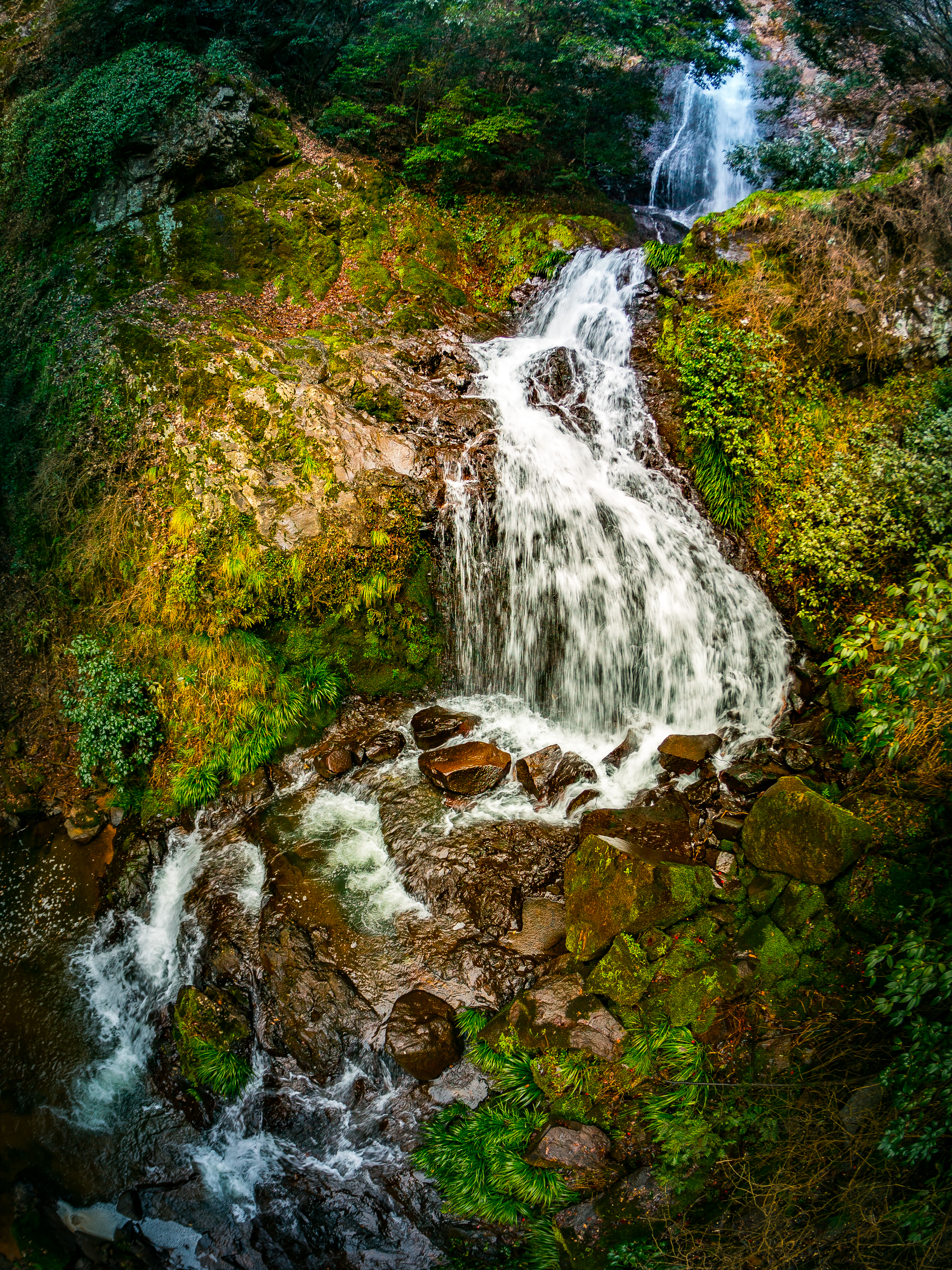
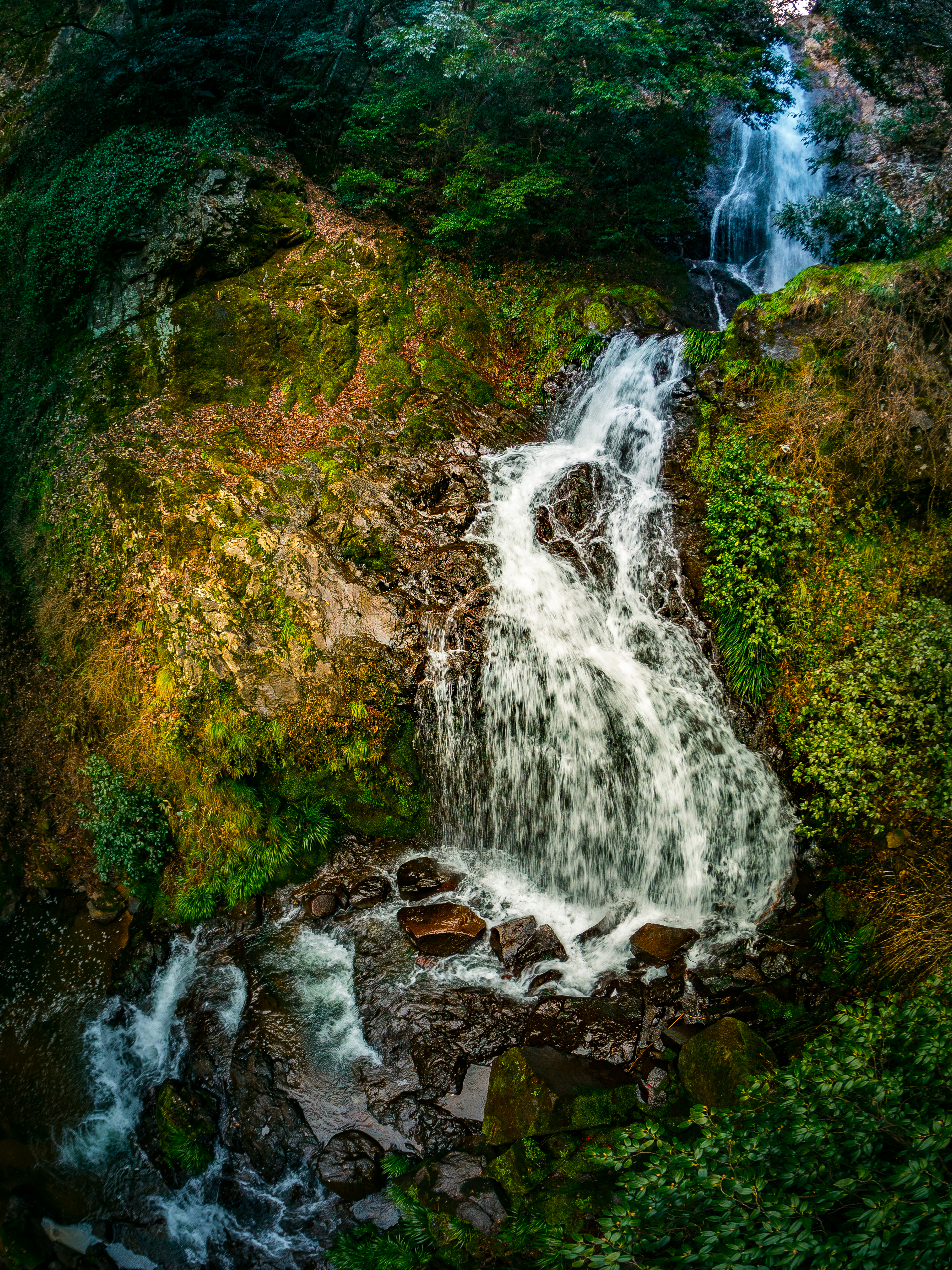
帝釈峡15・Taisyakukyo Valley
夜明け前の空。今日も暑くなりそうだ。

_DSC3967.jpg
PhoTones Works #7601

帝釈峡2・Taisyakukyo Valley

_DSC4056.jpg

_DSC4170.jpg
PhoTones Works #7952

_DSC4127.jpg

_DSC4005.jpg

_DSC4112.jpg

_DSC3927.jpg

帝釈峡4・Taisyakukyo Valley

PhoTones Works #7604
PhoTones Works #7602

_DSC4152.jpg
PhoTones Works #7603

_DSC4151.jpg

帝釈峡3・Taisyakukyo Valley
Topographic Map of Shimotoyomatsu, Jinsekikōgen-chō, Jinseki-gun, Hiroshima-ken -, Japan
Find elevation by address:

Places near Shimotoyomatsu, Jinsekikōgen-chō, Jinseki-gun, Hiroshima-ken -, Japan:
Japan, 〒- Hiroshima-ken, Jinseki-gun, Jinsekikōgen-chō, Yuki, 乙1776−4
Yasuda, Jinsekikōgen-chō, Jinseki-gun, Hiroshima-ken -, Japan
Jinseki District
Jinsekikogen
1175 Tōjōchō Kawahigashi
庄原市役所東城支所
甲1418
Ujichō Uji, Takahashi-shi, Okayama-ken -, Japan
Nariwachō Shimohara, Takahashi-shi, Okayama-ken -, Japan
Aonochō, Ibara-shi, Okayama-ken -, Japan
Ibara
Fuchu
861 Jōgechō Jōge
府中市役所上下支所
Shinichichō Ōaza Sagata, Fukuyama-shi, Hiroshima-ken -, Japan
Niimi, Niimi-shi, Okayama-ken -, Japan
Niimi
Kannabechō Ōaza Kawaminami, Fukuyama-shi, Hiroshima-ken -, Japan
Gōbunchō, Fukuyama-shi, Hiroshima-ken -, Japan
Oda District
Recent Searches:
- Elevation of 24, Auburn Bay Crescent SE, Auburn Bay, Calgary, Alberta, T3M 0A6, Canada
- Elevation of Denver, 2314, Arapahoe Street, Five Points, Denver, Colorado, 80205, USA
- Elevation of Community of the Beatitudes, 2924, West 43rd Avenue, Sunnyside, Denver, Colorado, 80211, USA
- Elevation map of Litang County, Sichuan, China
- Elevation map of Madoi County, Qinghai, China
- Elevation of 3314, Ohio State Route 114, Payne, Paulding County, Ohio, 45880, USA
- Elevation of Sarahills Drive, Saratoga, Santa Clara County, California, 95070, USA
- Elevation of Town of Bombay, Franklin County, New York, USA
- Elevation of 9, Convent Lane, Center Moriches, Suffolk County, New York, 11934, USA
- Elevation of Saint Angelas Convent, 9, Convent Lane, Center Moriches, Suffolk County, New York, 11934, USA
- Elevation of 131st Street Southwest, Mukilteo, Snohomish County, Washington, 98275, USA
- Elevation of 304, Harrison Road, Naples, Cumberland County, Maine, 04055, USA
- Elevation of 2362, Timber Ridge Road, Harrisburg, Cabarrus County, North Carolina, 28075, USA
- Elevation of Ridge Road, Marshalltown, Marshall County, Iowa, 50158, USA
- Elevation of 2459, Misty Shadows Drive, Pigeon Forge, Sevier County, Tennessee, 37862, USA
- Elevation of 8043, Brightwater Way, Spring Hill, Williamson County, Tennessee, 37179, USA
- Elevation of Starkweather Road, San Luis, Costilla County, Colorado, 81152, USA
- Elevation of 5277, Woodside Drive, Baton Rouge, East Baton Rouge Parish, Louisiana, 70808, USA
- Elevation of 1139, Curtin Street, Shepherd Park Plaza, Houston, Harris County, Texas, 77018, USA
- Elevation of 136, Sellers Lane, Repton, Monroe County, Alabama, 36475, USA