Elevation of Shimizujiri-1 Chōkaimachi Momoyake, Yurihonjō-shi, Akita-ken -, Japan
Location: Japan > Akita Prefecture > Yurihonjo >
Longitude: 140.184040
Latitude: 39.1199506
Elevation: 401m / 1316feet
Barometric Pressure: 97KPa
Elevation Map:
Satellite Map:
Related Photos:
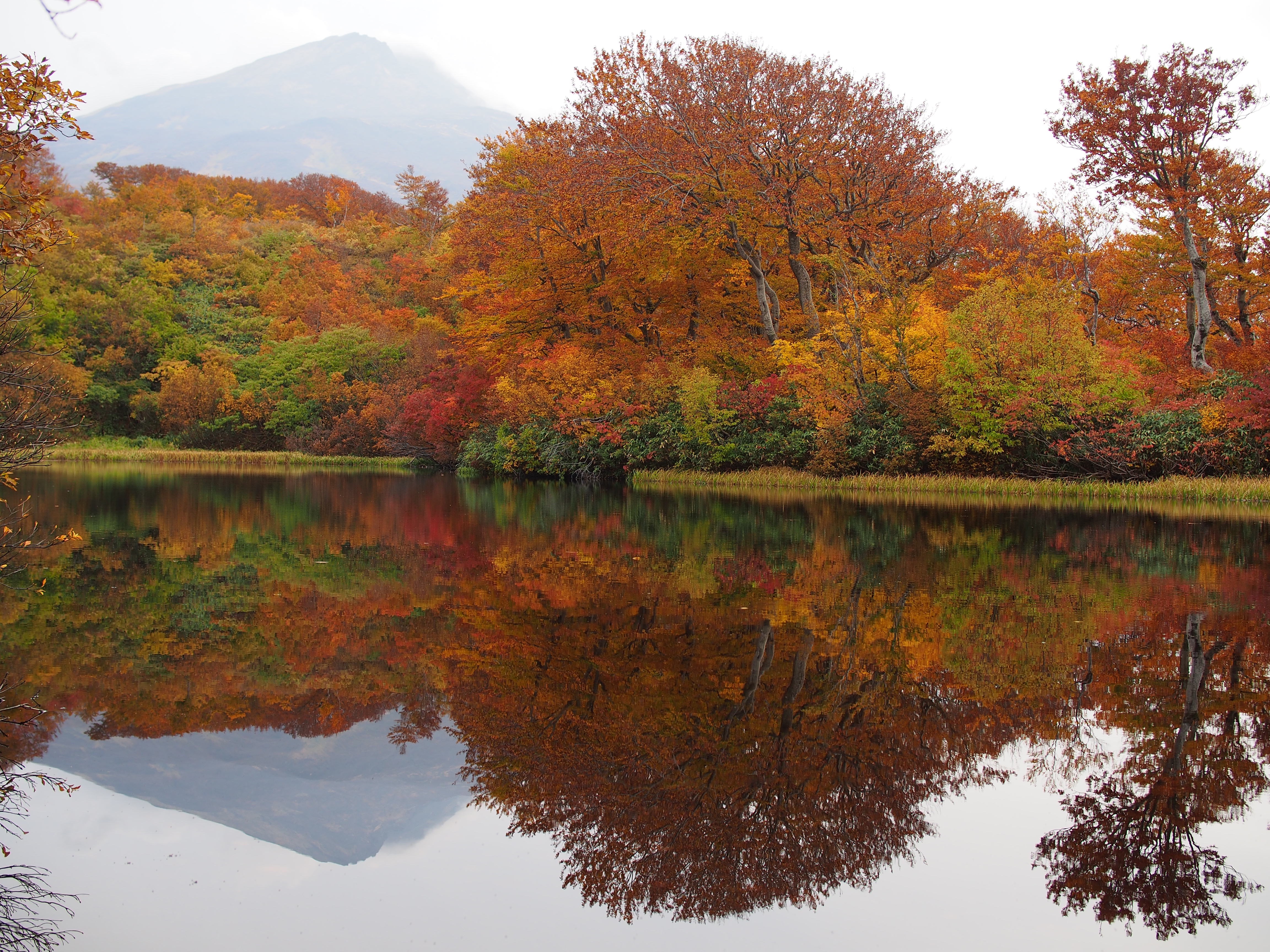
Glassy surface
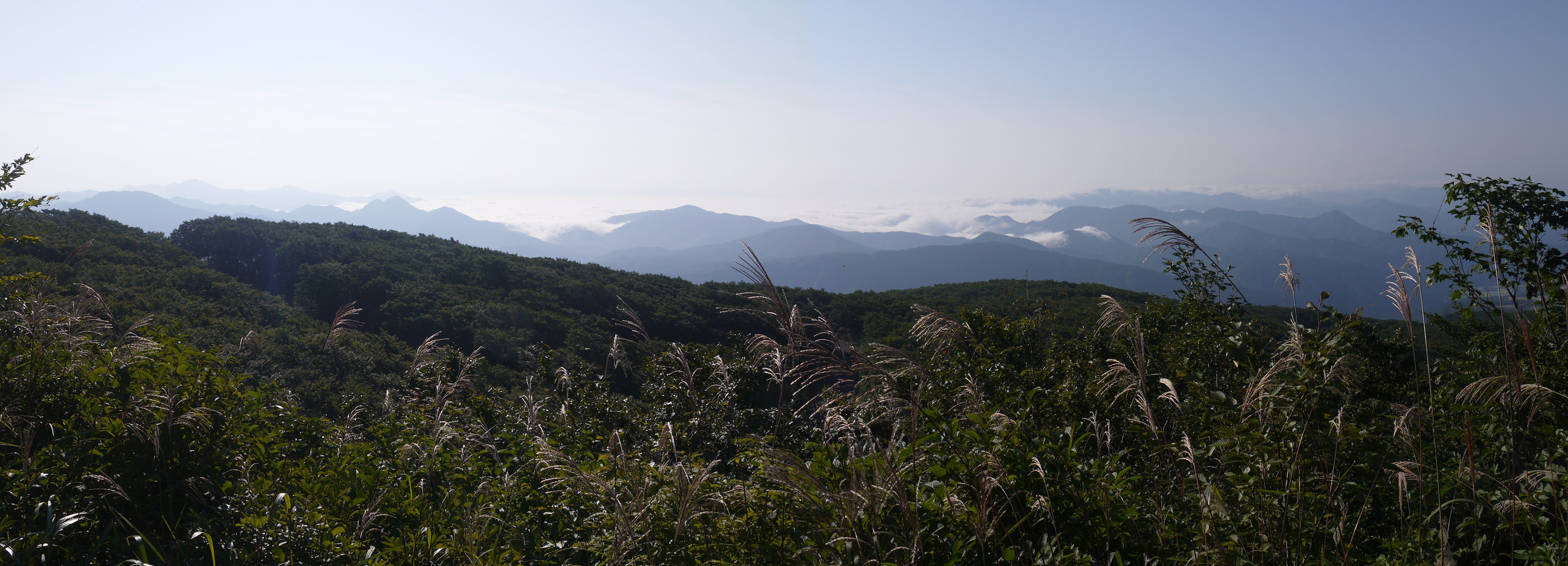
a sea of clouds, view from Yunodaiguchi
IMG_1385-1

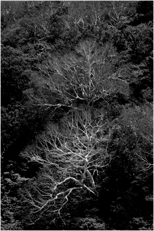
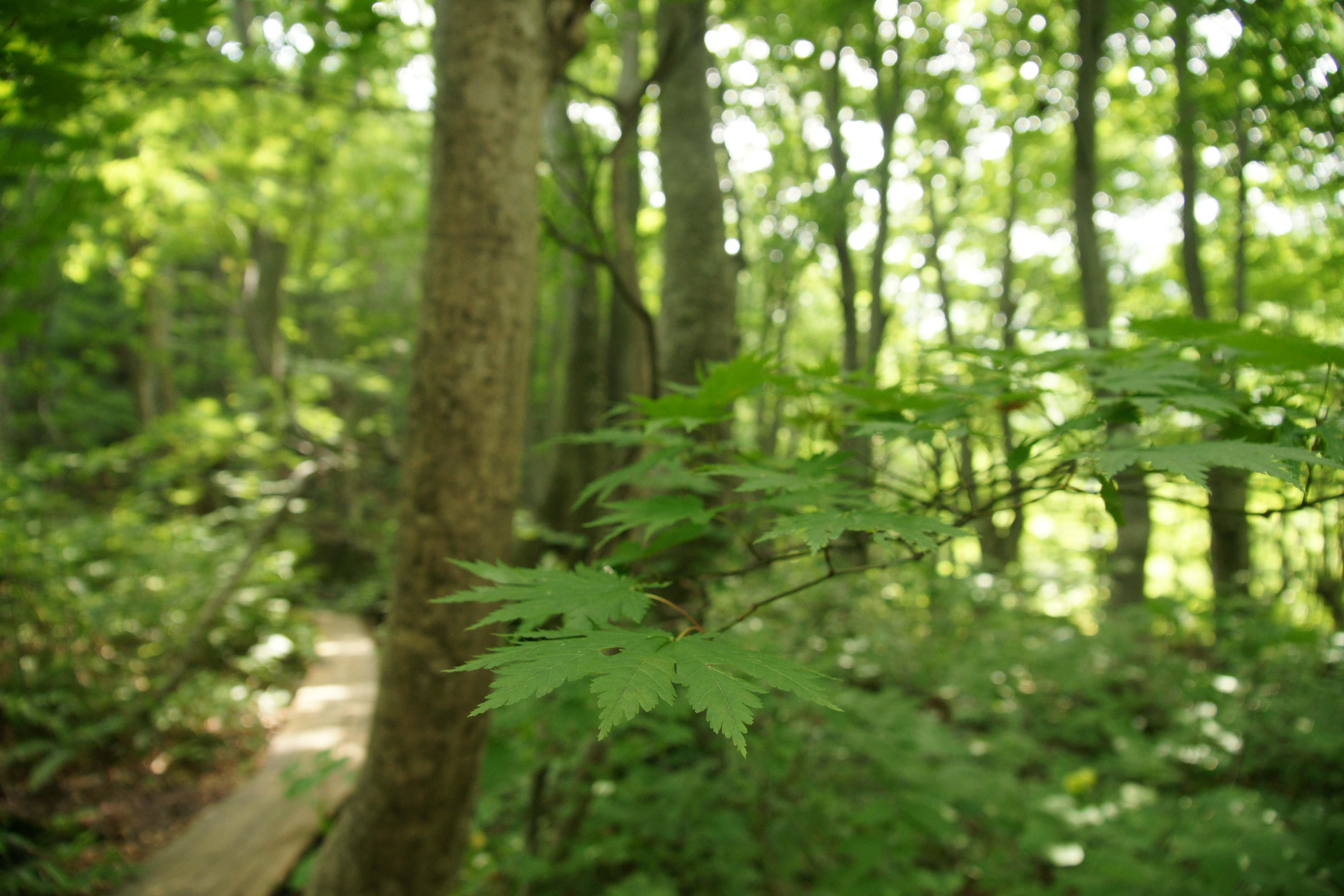
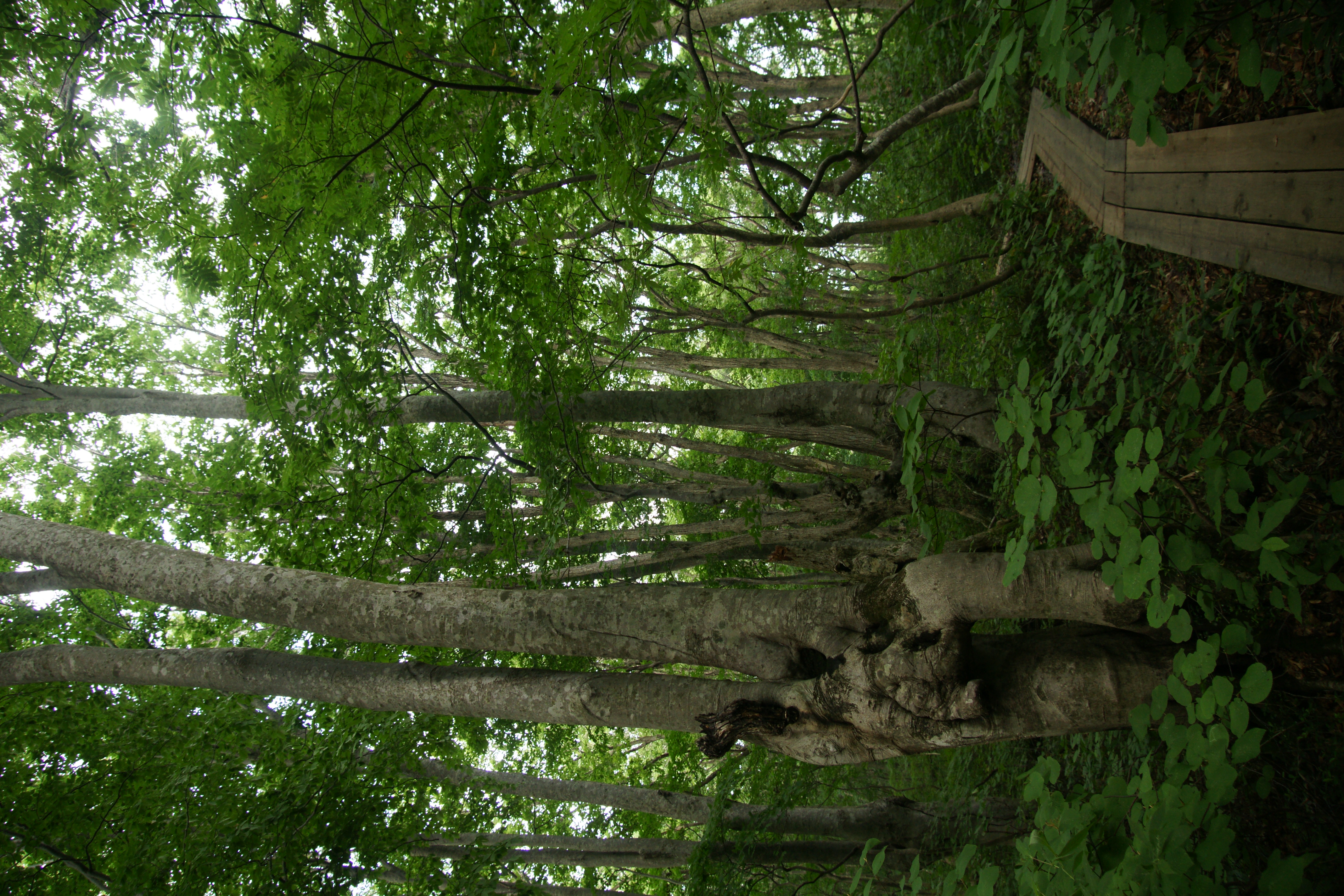
wetly forest

here and there, everywhere!

yellow, yellow and yellow
ダケカンバ

Grass with autumnal tint
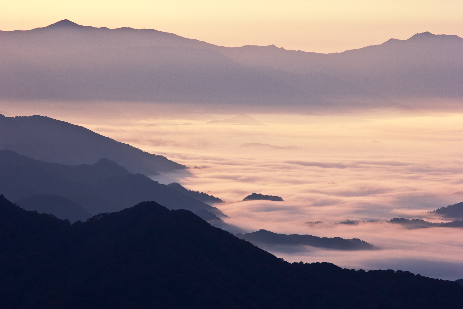
雲海
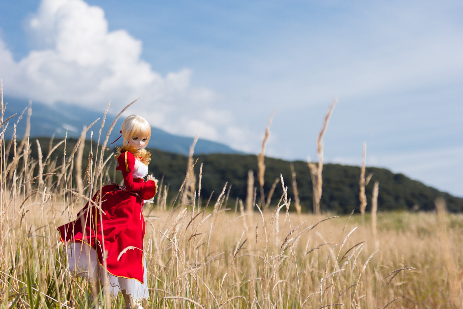
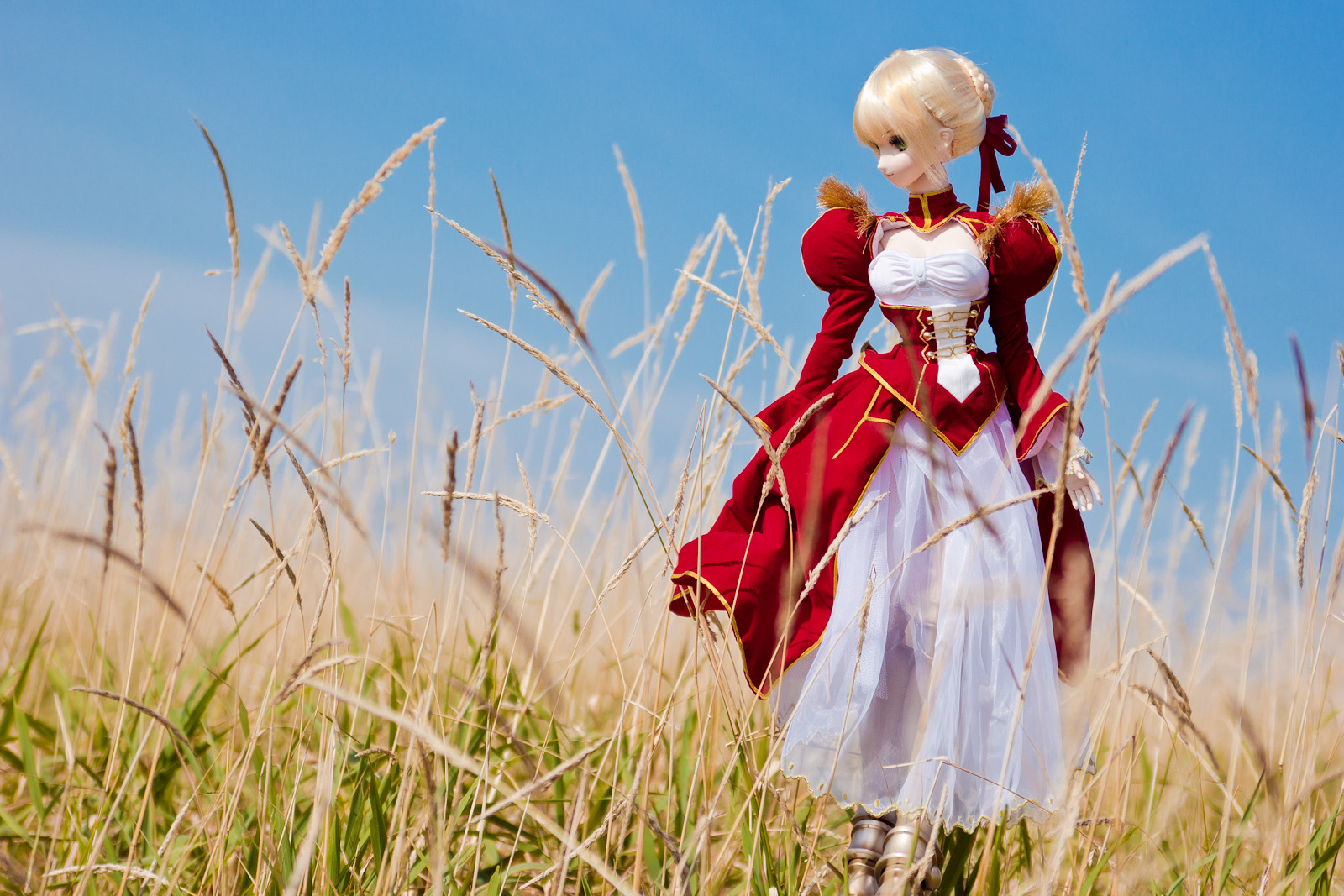
DD Saber Extra 1

Climbing Mt Chokai the Highest Peak in Akita - Pretty Alpine Lake Midway (2012:022)

明るい森・鳥海山麓中島台
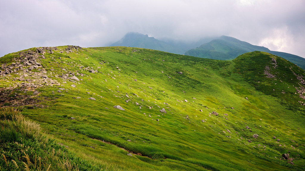
Climbing Mt Chokai the Highest Peak in Akita - Mountain Ridge (2012:023)

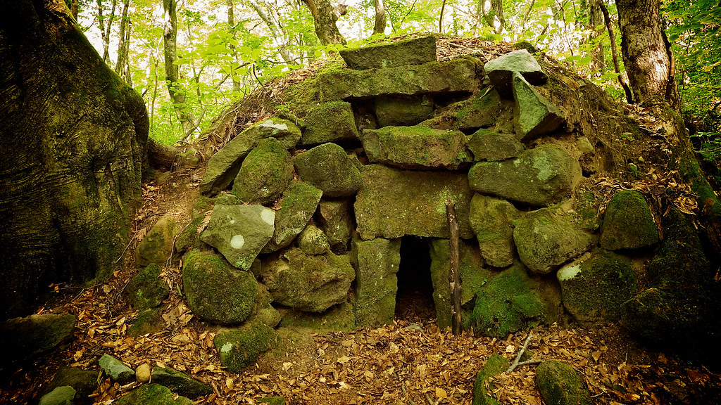
獅子ヶ鼻湿原
獅子ヶ鼻湿原
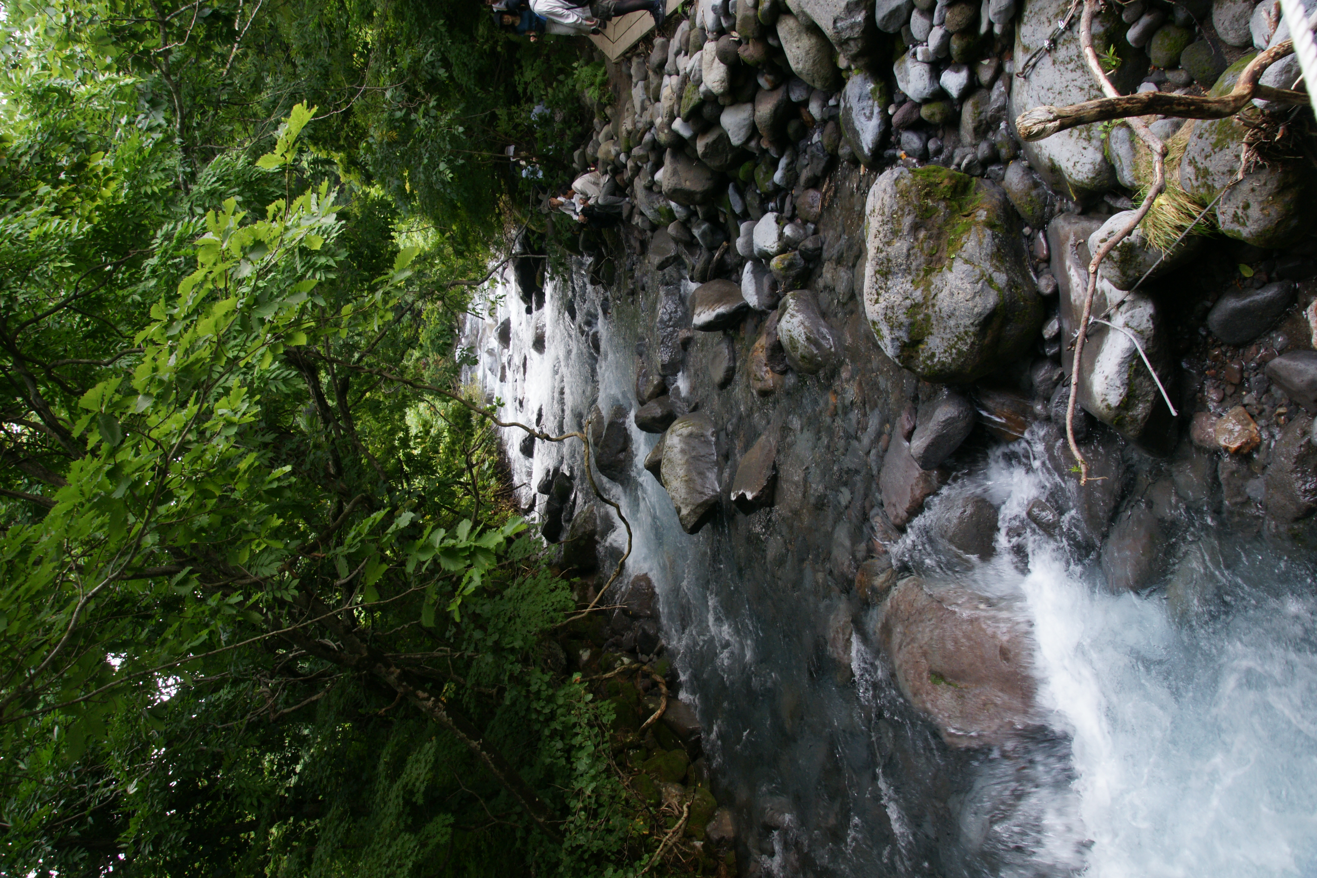
Trekking at Nakajimadai Nikaho (2012_031)

獅子ヶ鼻湿原
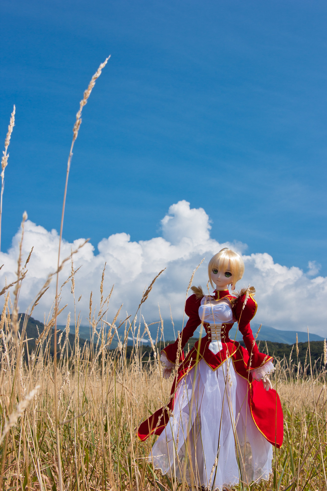
DD Saber Extra 5

Trekking at Nakajimadai Nikaho (2012_016)
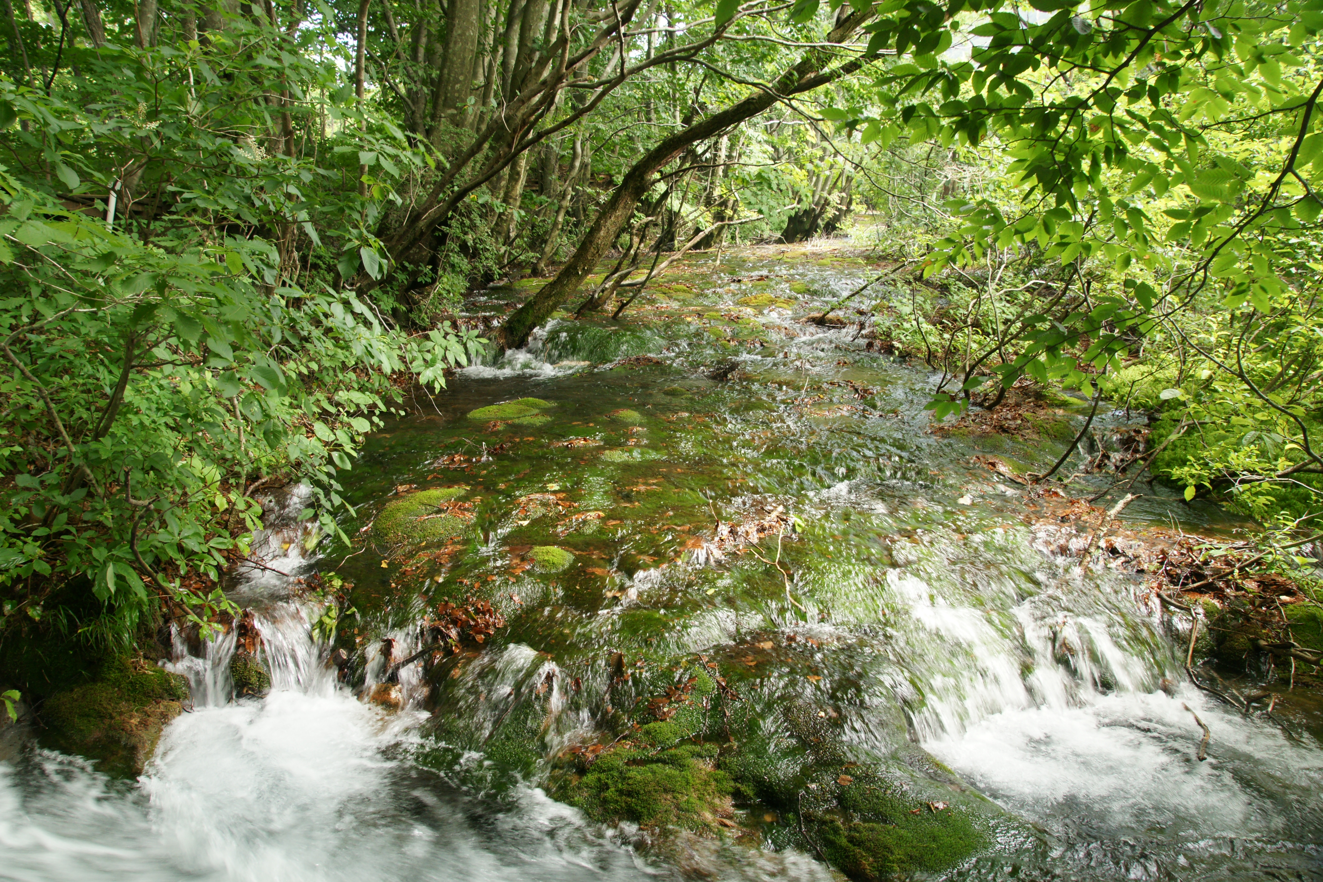
獅子ヶ鼻湿原

Trekking at Nakajimadai Nikaho (2012_022)
獅子ヶ鼻湿原
獅子ヶ鼻湿原
Topographic Map of Shimizujiri-1 Chōkaimachi Momoyake, Yurihonjō-shi, Akita-ken -, Japan
Find elevation by address:

Places near Shimizujiri-1 Chōkaimachi Momoyake, Yurihonjō-shi, Akita-ken -, Japan:
Magaki-10 Chōkaimachi Nakahitane, Yurihonjō-shi, Akita-ken -, Japan
Tomisawa-49 Chōkaimachi Kamihitane, Yurihonjō-shi, Akita-ken -, Japan
Takinoue Chōkaimachi Momoyake
Takinoue-24 Chōkaimachi Momoyake, Yurihonjō-shi, Akita-ken -, Japan
Maenosawa-67-10 Chōkaimachi Nakahitane, Yurihonjō-shi, Akita-ken -, Japan
Kawakuma-4 Chōkaimachi Kamihitane, Yurihonjō-shi, Akita-ken -, Japan
Ishidaka-8 Chōkaimachi Shimohitane, Yurihonjō-shi, Akita-ken -, Japan
Kuride-80 Chōkaimachi Shimohitane, Yurihonjō-shi, Akita-ken -, Japan
Hirane-46 Chōkaimachi Kamikawauchi, Yurihonjō-shi, Akita-ken -, Japan
Shōdeyachi-92 Chōkaimachi Kamikawauchi, Yurihonjō-shi, Akita-ken -, Japan
Tozawa- Chōkaimachi Kamijinego, Yurihonjō-shi, Akita-ken -, Japan
Yoshihara-43 Chōkaimachi Sarukura, Yurihonjō-shi, Akita-ken -, Japan
Shimokogawa-32 Chōkaimachi Kogawa, Yurihonjō-shi, Akita-ken -, Japan
Kairin-6 Chōkaimachi Fushimi, Yurihonjō-shi, Akita-ken -, Japan
Kubo-97 Chōkaimachi Fushimi, Yurihonjō-shi, Akita-ken -, Japan
Kiyanjikizura-1 Chōkaimachi Kamijinego, Yurihonjō-shi, Akita-ken -, Japan
Kamiarasawa-67 Chōkaimachi Kogawa, Yurihonjō-shi, Akita-ken -, Japan
Yakiyama- Chōkaimachi Kamikawauchi, Yurihonjō-shi, Akita-ken -, Japan
Uwabara- Chōkaimachi Sainokami, Yurihonjō-shi, Akita-ken -, Japan
Shimonomiya-8 Chōkaimachi Kamijinego, Yurihonjō-shi, Akita-ken -, Japan
Recent Searches:
- Elevation of Corso Fratelli Cairoli, 35, Macerata MC, Italy
- Elevation of Tallevast Rd, Sarasota, FL, USA
- Elevation of 4th St E, Sonoma, CA, USA
- Elevation of Black Hollow Rd, Pennsdale, PA, USA
- Elevation of Oakland Ave, Williamsport, PA, USA
- Elevation of Pedrógão Grande, Portugal
- Elevation of Klee Dr, Martinsburg, WV, USA
- Elevation of Via Roma, Pieranica CR, Italy
- Elevation of Tavkvetili Mountain, Georgia
- Elevation of Hartfords Bluff Cir, Mt Pleasant, SC, USA