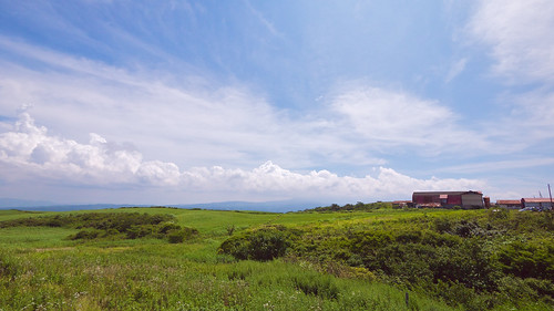
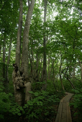
Elevation of Kuride-80 Chōkaimachi Shimohitane, Yurihonjō-shi, Akita-ken -, Japan
Location: Japan > Akita Prefecture > Yurihonjo >
Longitude: 140.168515
Latitude: 39.1740105
Elevation: 245m / 804feet
Barometric Pressure: 98KPa
Related Photos:
Topographic Map of Kuride-80 Chōkaimachi Shimohitane, Yurihonjō-shi, Akita-ken -, Japan
Find elevation by address:

Places near Kuride-80 Chōkaimachi Shimohitane, Yurihonjō-shi, Akita-ken -, Japan:
Ishidaka-8 Chōkaimachi Shimohitane, Yurihonjō-shi, Akita-ken -, Japan
Kairin-6 Chōkaimachi Fushimi, Yurihonjō-shi, Akita-ken -, Japan
Uwabara- Chōkaimachi Sainokami, Yurihonjō-shi, Akita-ken -, Japan
Maenosawa-67-10 Chōkaimachi Nakahitane, Yurihonjō-shi, Akita-ken -, Japan
Kubo-97 Chōkaimachi Fushimi, Yurihonjō-shi, Akita-ken -, Japan
Yoshihara-43 Chōkaimachi Sarukura, Yurihonjō-shi, Akita-ken -, Japan
Magaki-10 Chōkaimachi Nakahitane, Yurihonjō-shi, Akita-ken -, Japan
Hirane-46 Chōkaimachi Kamikawauchi, Yurihonjō-shi, Akita-ken -, Japan
Yakiyama- Chōkaimachi Kamikawauchi, Yurihonjō-shi, Akita-ken -, Japan
Shōdeyachi-92 Chōkaimachi Kamikawauchi, Yurihonjō-shi, Akita-ken -, Japan
Shimizujiri-1 Chōkaimachi Momoyake, Yurihonjō-shi, Akita-ken -, Japan
Tomisawa-49 Chōkaimachi Kamihitane, Yurihonjō-shi, Akita-ken -, Japan
Takinoue Chōkaimachi Momoyake
Takinoue-24 Chōkaimachi Momoyake, Yurihonjō-shi, Akita-ken -, Japan
Shimokogawa-32 Chōkaimachi Kogawa, Yurihonjō-shi, Akita-ken -, Japan
Nogiwa-30 Yashimamachi Arasawa, Yurihonjō-shi, Akita-ken -, Japan
Kawakuma-4 Chōkaimachi Kamihitane, Yurihonjō-shi, Akita-ken -, Japan
Kamiarasawa-67 Chōkaimachi Kogawa, Yurihonjō-shi, Akita-ken -, Japan
Izumigatai-27 Chōkaimachi Shimojinego, Yurihonjō-shi, Akita-ken -, Japan
Hikage-4 Chōkaimachi Shimojinego, Yurihonjō-shi, Akita-ken -, Japan
Recent Searches:
- Elevation of Corso Fratelli Cairoli, 35, Macerata MC, Italy
- Elevation of Tallevast Rd, Sarasota, FL, USA
- Elevation of 4th St E, Sonoma, CA, USA
- Elevation of Black Hollow Rd, Pennsdale, PA, USA
- Elevation of Oakland Ave, Williamsport, PA, USA
- Elevation of Pedrógão Grande, Portugal
- Elevation of Klee Dr, Martinsburg, WV, USA
- Elevation of Via Roma, Pieranica CR, Italy
- Elevation of Tavkvetili Mountain, Georgia
- Elevation of Hartfords Bluff Cir, Mt Pleasant, SC, USA
