Elevation of Shikharkot, Thaha, Nepal
Location: Nepal > Central Region > Narayani > Daman >
Longitude: 85.0772396
Latitude: 27.6246012
Elevation: 1854m / 6083feet
Barometric Pressure: 0KPa
Related Photos:
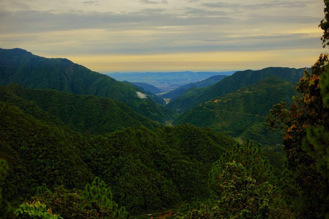
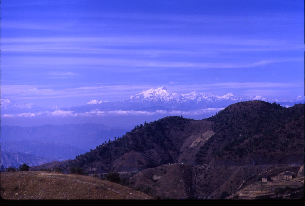
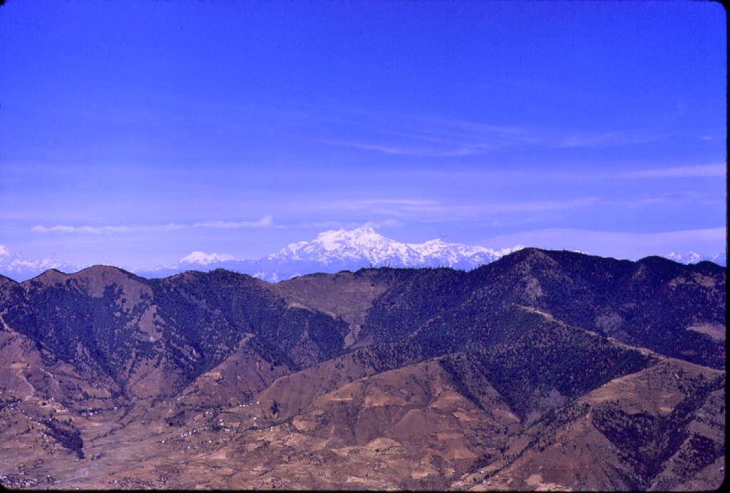
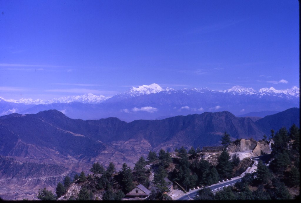
The highest peak, I have ever been on- 2300m. And that view ???? This was not on our schedule at all. Heavy downpour and an unexpected landslide blocked the shortest path to the capital. Hence, the lengthy journey of almost 12hrs. No regrets though :

That view! By the outskirts of Kathmandu. #travel #nepal #thankot #landscape
The ride was long but the view was great
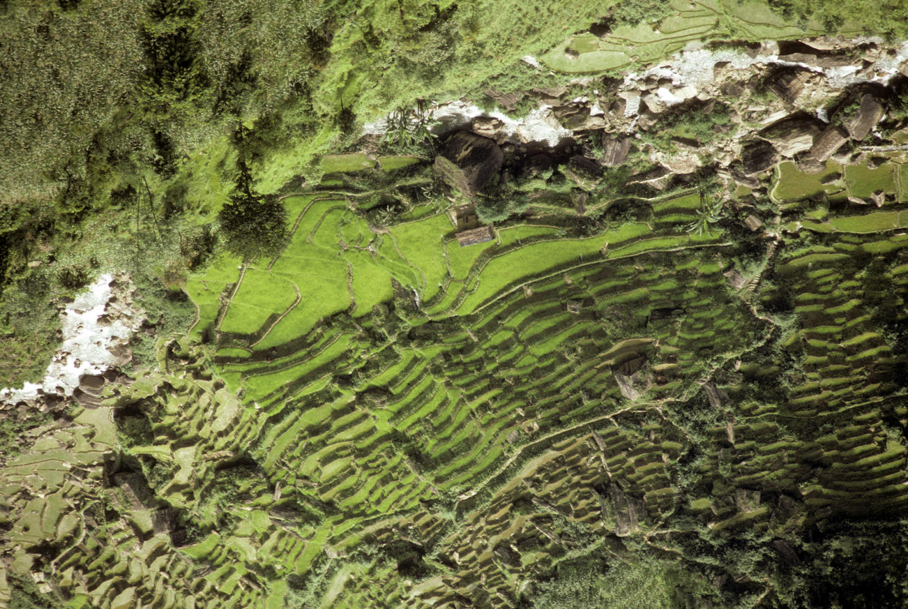
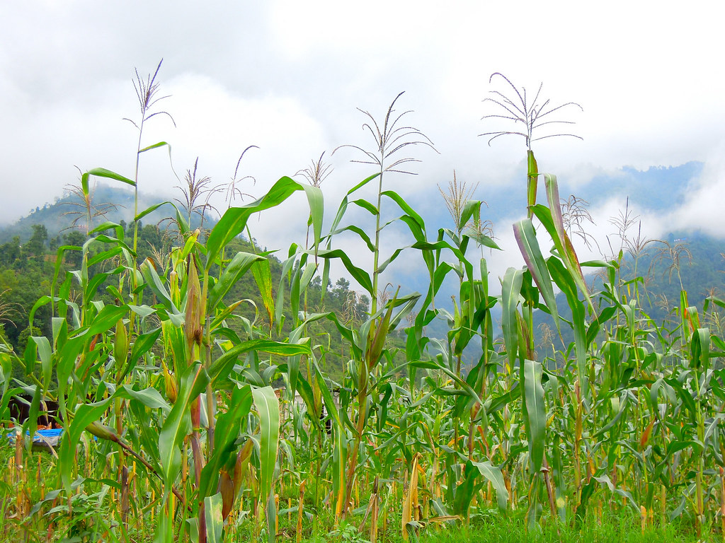
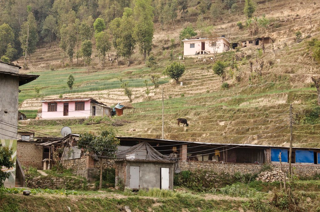
Rice Fields, Nepal

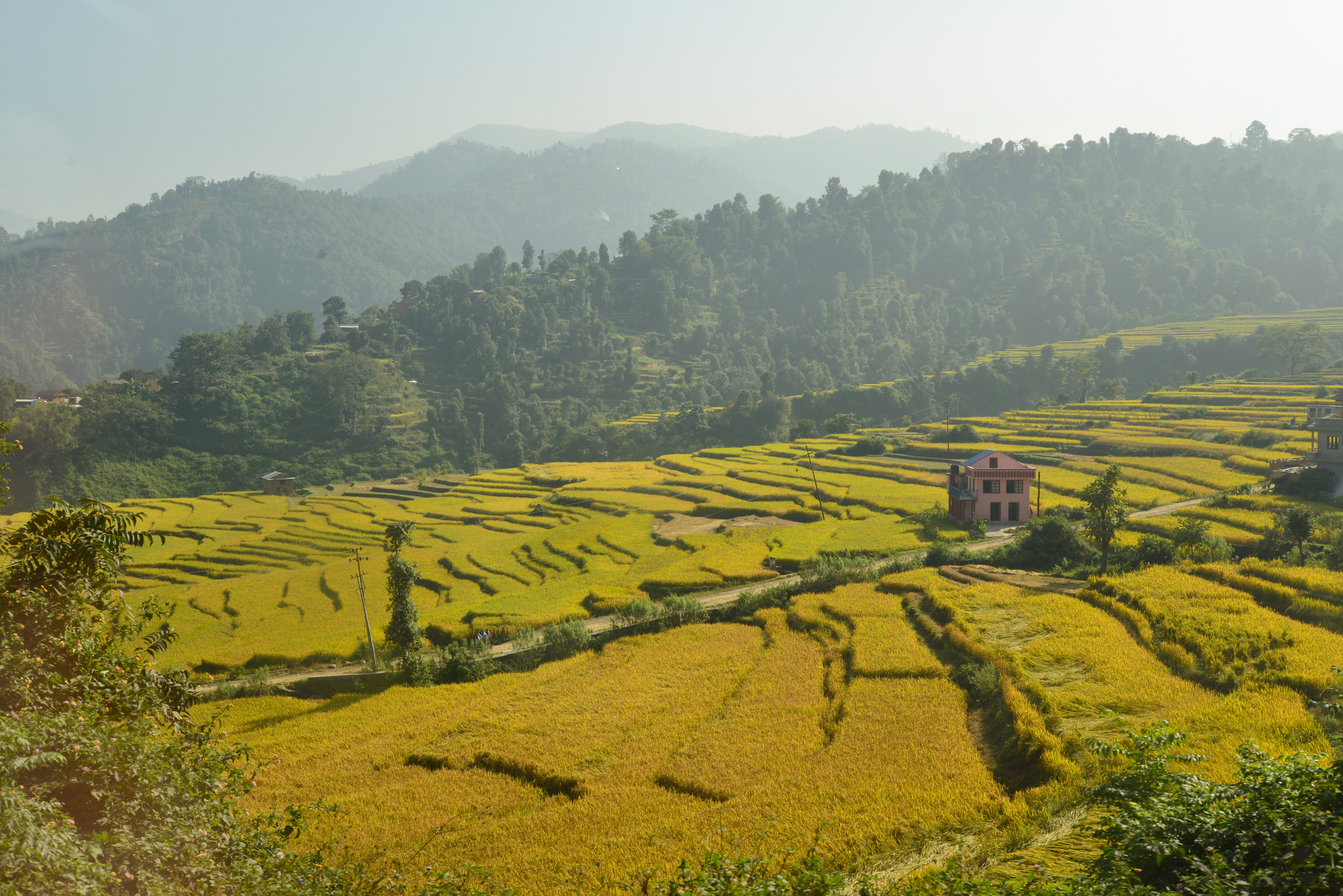
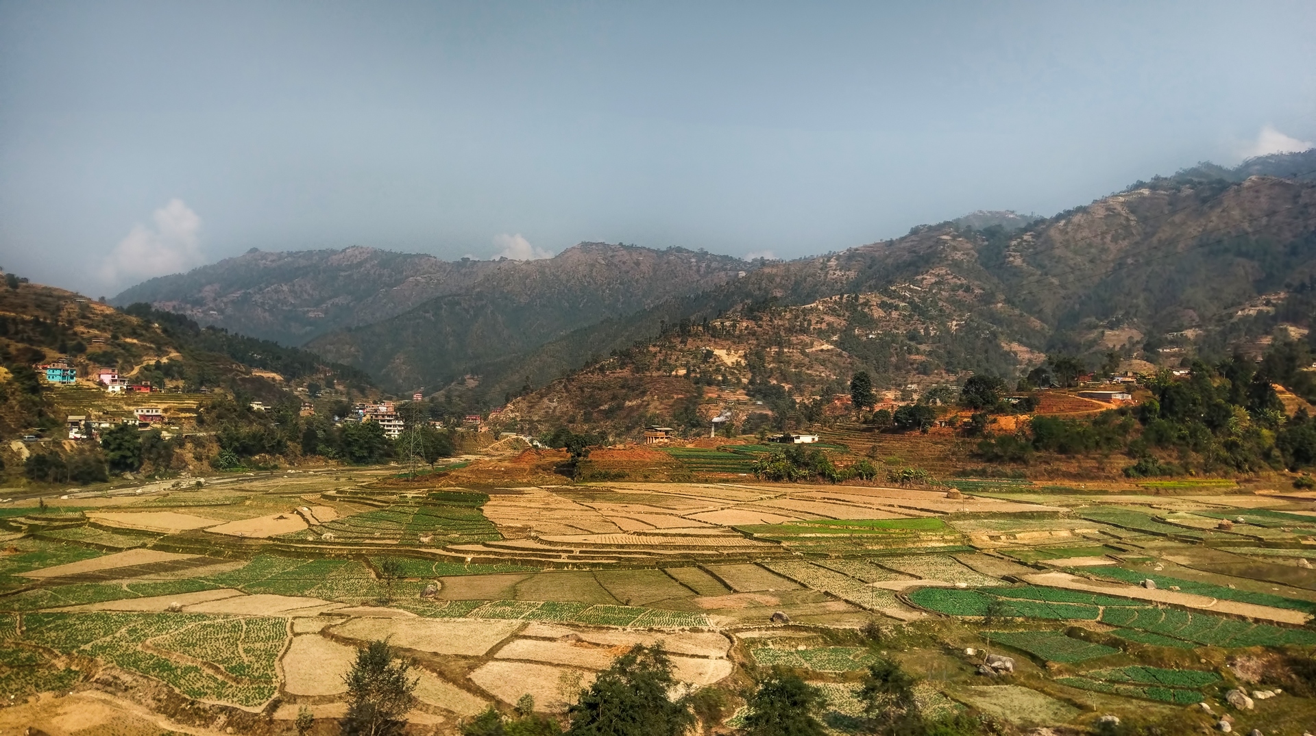
Mountains and Rice fields of Nepal

Mountains and Rice fields of Nepal
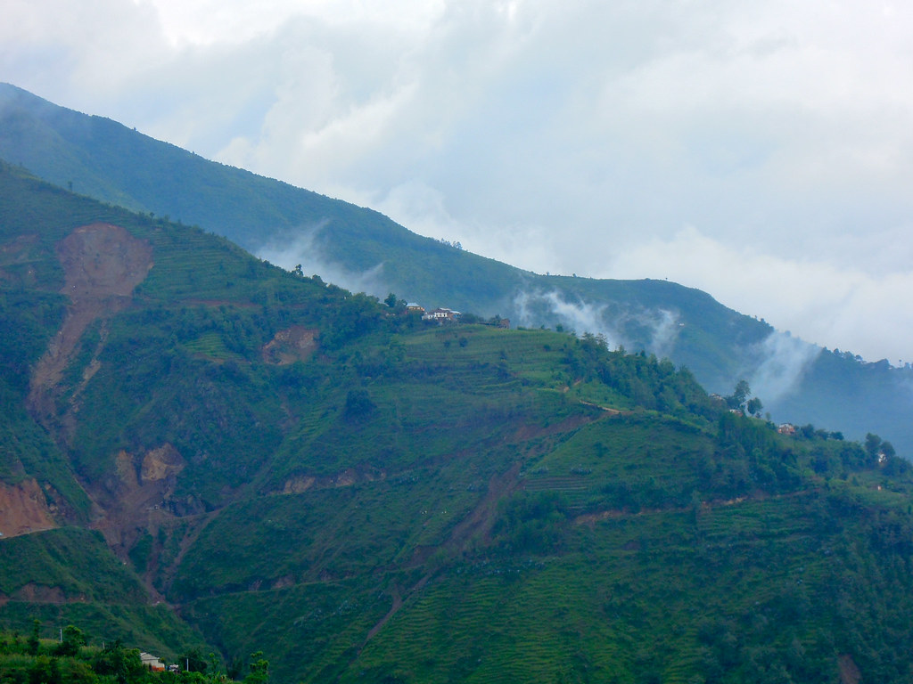
Chandagiri hill

Valleys of Paddy Fields
DSCN7541.jpg
_CL04409.jpg
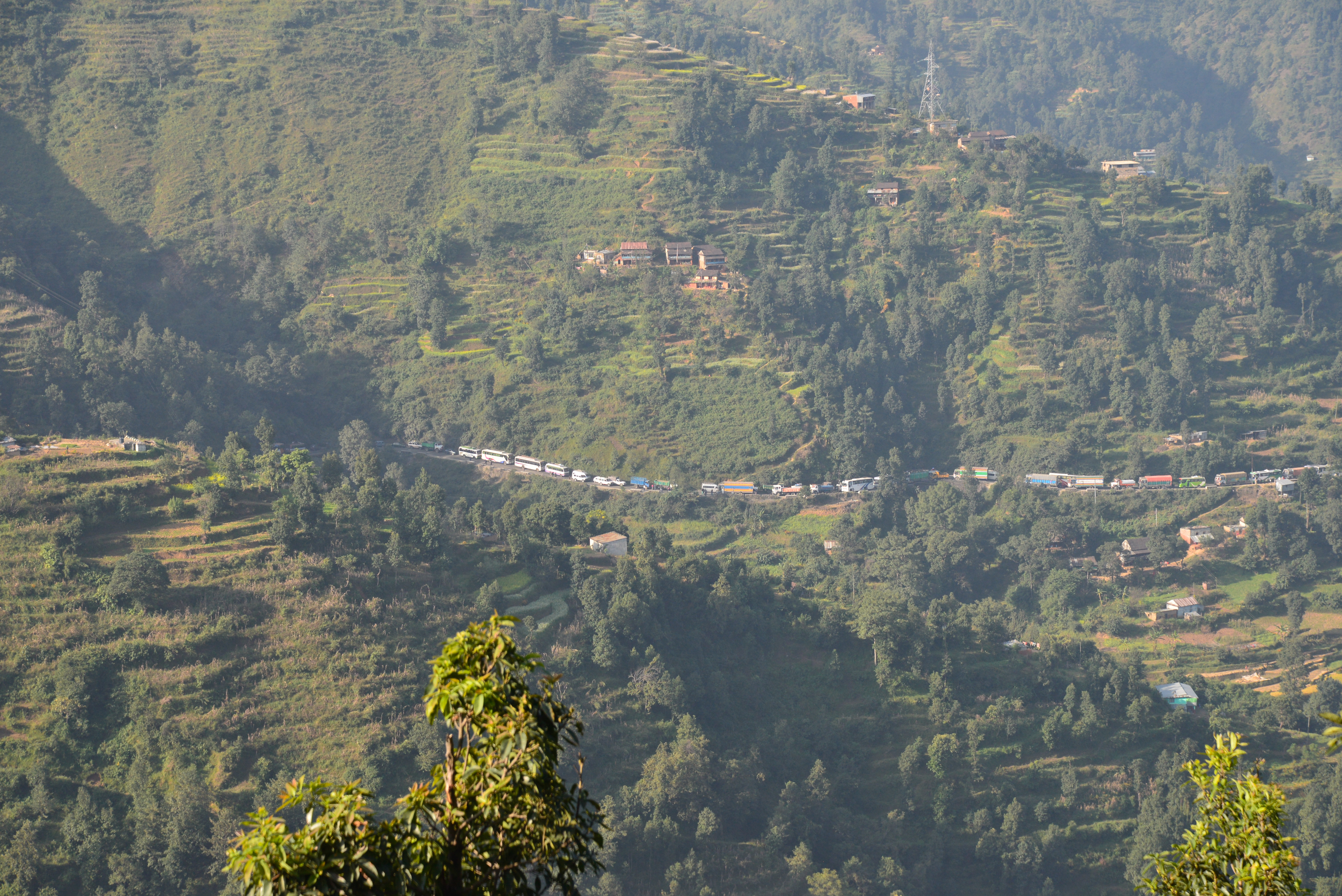
You know it would be a steep ride when u see this U-turn.
Nepal - Prithivi HWY
2016-03-13 6184
DSCN7534.jpg
72 Swagman Eastbound

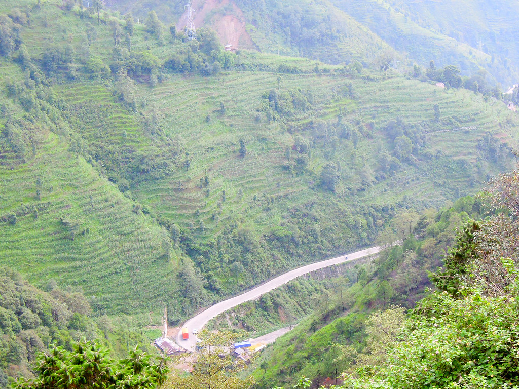
Rice Terrances
_CL04388.jpg

Nepal-9347
72 Swagman Eastbound
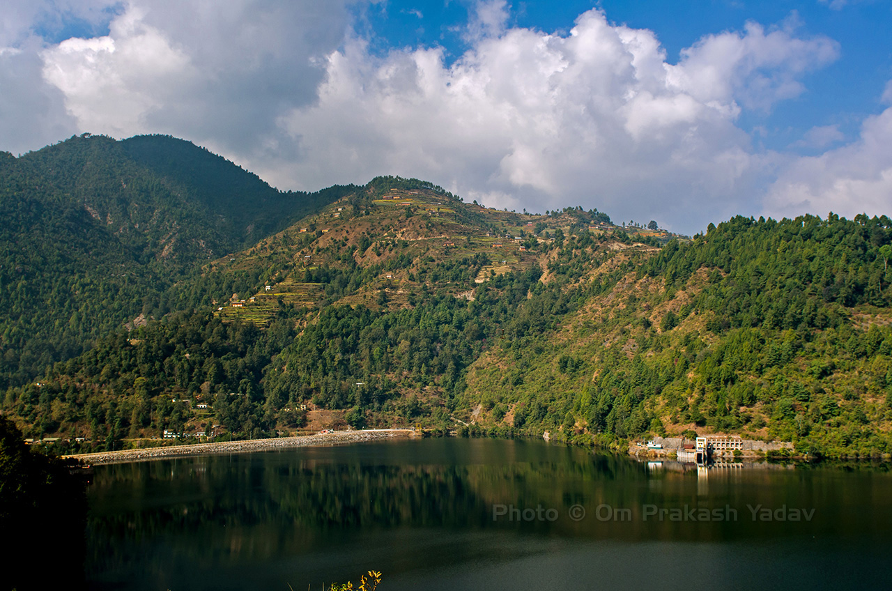
Kulekhani dam
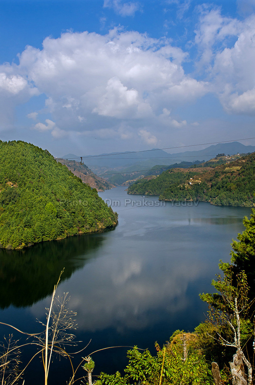
Indrasarovar Lake

2016-03-13 6176
72 Swagman Eastbound
Topographic Map of Shikharkot, Thaha, Nepal
Find elevation by address:

Places near Shikharkot, Thaha, Nepal:
Daman
Daman Nepal
Markhu
Kulekhani Reservoir
Makwanpur
Chitlang
Kulekhani
Area Police Office Chitlang
Naubise
Dhunibeshi Municipality Office
Khanikhola
Mahadevbesi Bazar
Prabhu Bank Mahadevbesi Dhading
Chandragiri Hills - Nepal
Thankot
Fakhel
Baad Bhanjyang
Baad Bhanjyang
Chisapani
Pataleban Vineyard Resort
Recent Searches:
- Elevation of Clifton Down, Clifton, Bristol, City of Bristol, England, BS8 3HU, United Kingdom
- Elevation map of Auvergne-Rhône-Alpes, France
- Elevation map of Upper Savoy, Auvergne-Rhône-Alpes, France
- Elevation of Chamonix-Mont-Blanc, Upper Savoy, Auvergne-Rhône-Alpes, France
- Elevation of 908, Northwood Drive, Bridge Field, Chesapeake, Virginia, 23322, USA
- Elevation map of Nagano Prefecture, Japan
- Elevation of 587, Bascule Drive, Oakdale, Stanislaus County, California, 95361, USA
- Elevation of Stadion Wankdorf, Sempachstrasse, Breitfeld, Bern, Bern-Mittelland administrative district, Bern, 3014, Switzerland
- Elevation of Z024, 76, Emil-von-Behring-Straße, Marbach, Marburg, Landkreis Marburg-Biedenkopf, Hesse, 35041, Germany
- Elevation of Gaskill Road, Hunts Cross, Liverpool, England, L24 9PH, United Kingdom
- Elevation of Speke, Liverpool, England, L24 9HD, United Kingdom
- Elevation of Seqirus, 475, Green Oaks Parkway, Holly Springs, Wake County, North Carolina, 27540, USA
- Elevation of Pasing, Munich, Bavaria, 81241, Germany
- Elevation of 24, Auburn Bay Crescent SE, Auburn Bay, Calgary, Alberta, T3M 0A6, Canada
- Elevation of Denver, 2314, Arapahoe Street, Five Points, Denver, Colorado, 80205, USA
- Elevation of Community of the Beatitudes, 2924, West 43rd Avenue, Sunnyside, Denver, Colorado, 80211, USA
- Elevation map of Litang County, Sichuan, China
- Elevation map of Madoi County, Qinghai, China
- Elevation of 3314, Ohio State Route 114, Payne, Paulding County, Ohio, 45880, USA
- Elevation of Sarahills Drive, Saratoga, Santa Clara County, California, 95070, USA